Arkiv - dato
Arkiv - aktivitet
-
Annen tur (3)
- Kajakkpadling (3)
- Fottur (1884)
-
Kjøretur (9)
- Biltur (9)
-
Skitur (116)
- Fjellskitur (69)
- Langrennstur (47)
-
Sykkeltur (110)
- Blandet sykling (25)
- Gatesykling (85)
Lister jeg samler etter
-
Utvalgte topper og turmål i Bergen
(348/349)
 99%
99% -
Alle topper i Bergen
(391/398)
98%
-
Voss ≥ 100m pf.
(96/98)
97%
-
Opptur Hordaland
(144/159)
90%
-
Stasjoner på Bergensbanen
(33/40)
82%
-
Ulvik ≥ 100m pf.
(28/38)
73%
-
Hordaland ≥ 100m pf.
(622/863)
72%
-
Mjølfjell PF > 100m
(21/31)
67%
-
Jondal ≥ 100m pf.
(15/23)
65%
-
Dagsturhyttene i Vestland
(36/61)
59%
-
Sunnhordland PF >= 100m
(105/186)
56%
-
Hordaland: Hardanger PF>=100m
(194/359)
54%
-
DNT-hytter i Hordaland
(23/45)
51%
-
Kvinnherad ≥ 100m pf.
(40/79)
50%
-
Eidfjord ≥ 100m pf.
(13/42)
30%
-
Sogndal ≥ 100m pf.
(23/81)
28%
-
Gulen ≥ 100m pf.
(15/54)
27%
-
Vik i Sogn ≥ 100m pf.
(10/46)
21%
-
Sogn - Sør for Sognefjorden PF>=100m
(31/159)
19%
-
DNT-hytter i Sogn og Fjordane
(8/47)
17%

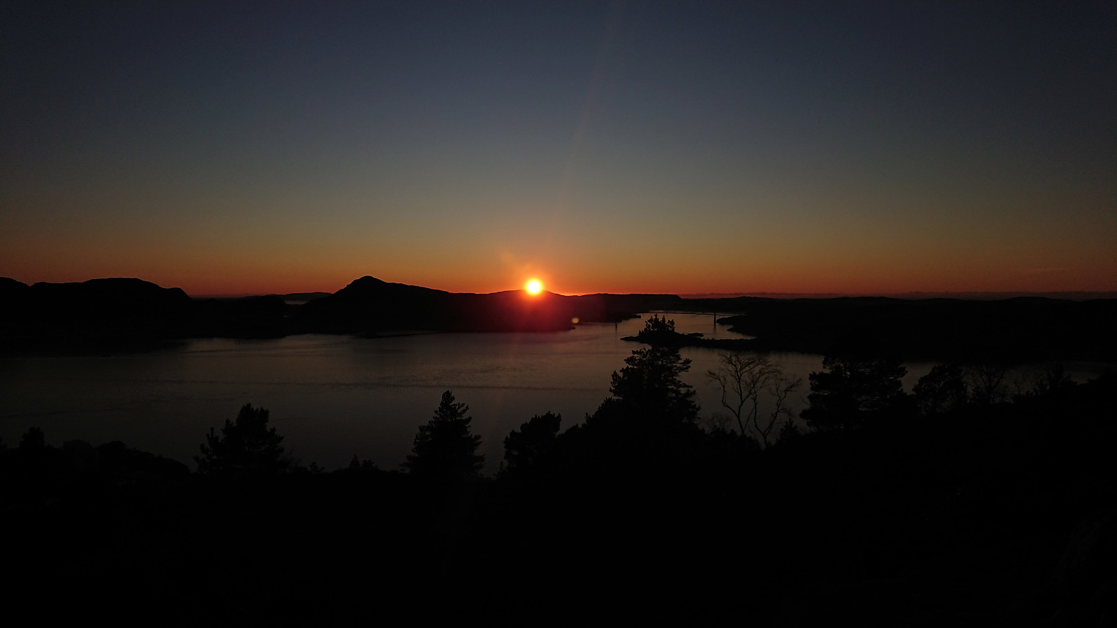
Ørneberget and Ørneberget NV
- Dato:
- 14.01.2021
- Turtype:
- Fjelltur
- Turlengde:
- 1:11t
- Distanse:
- 3,4km
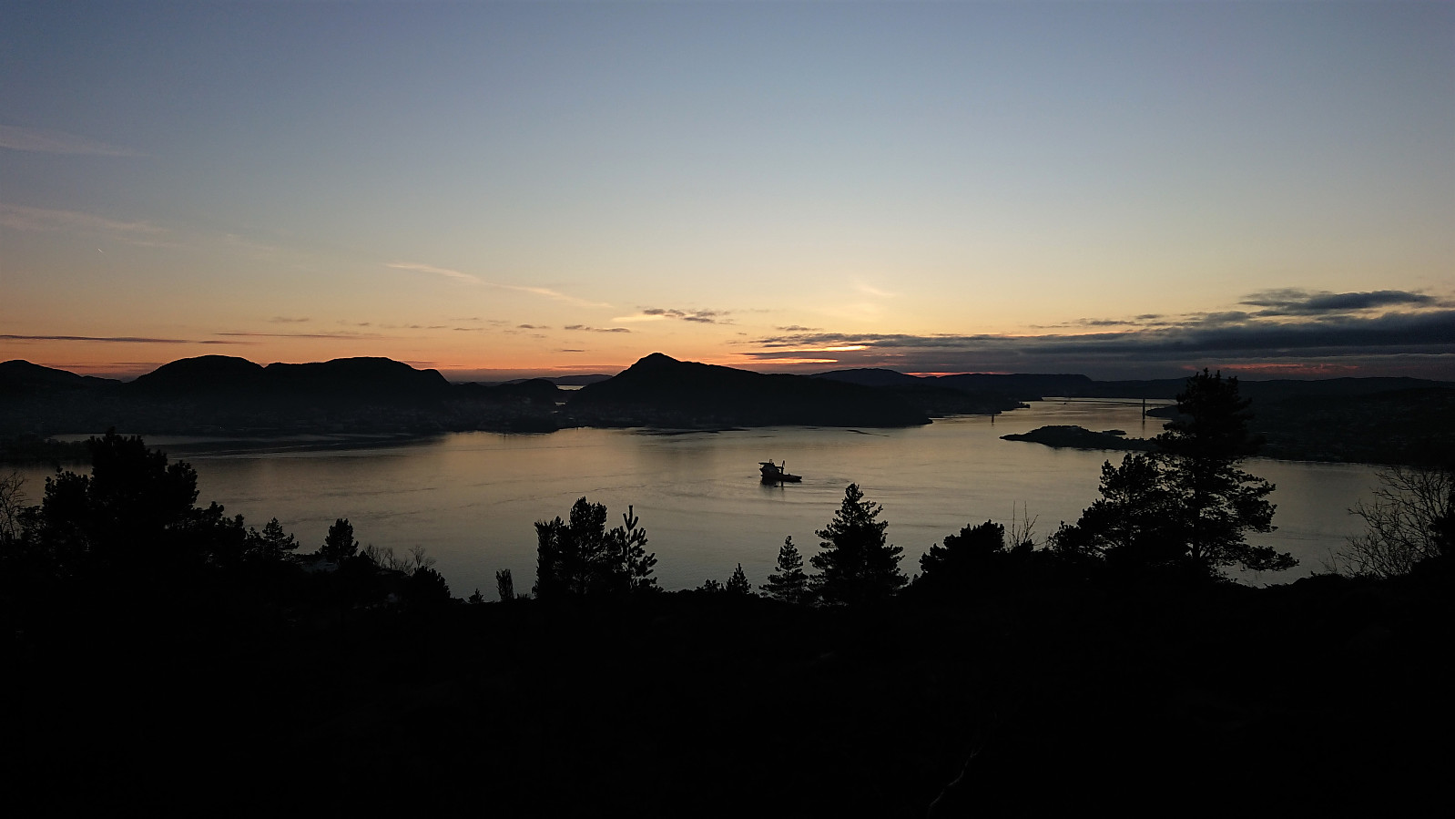
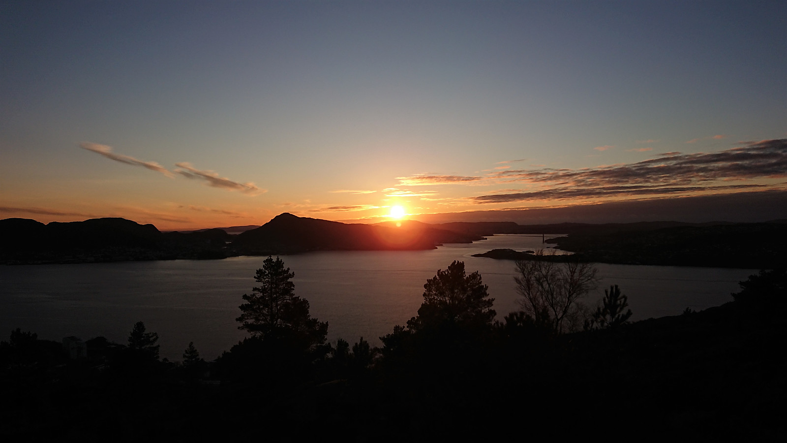
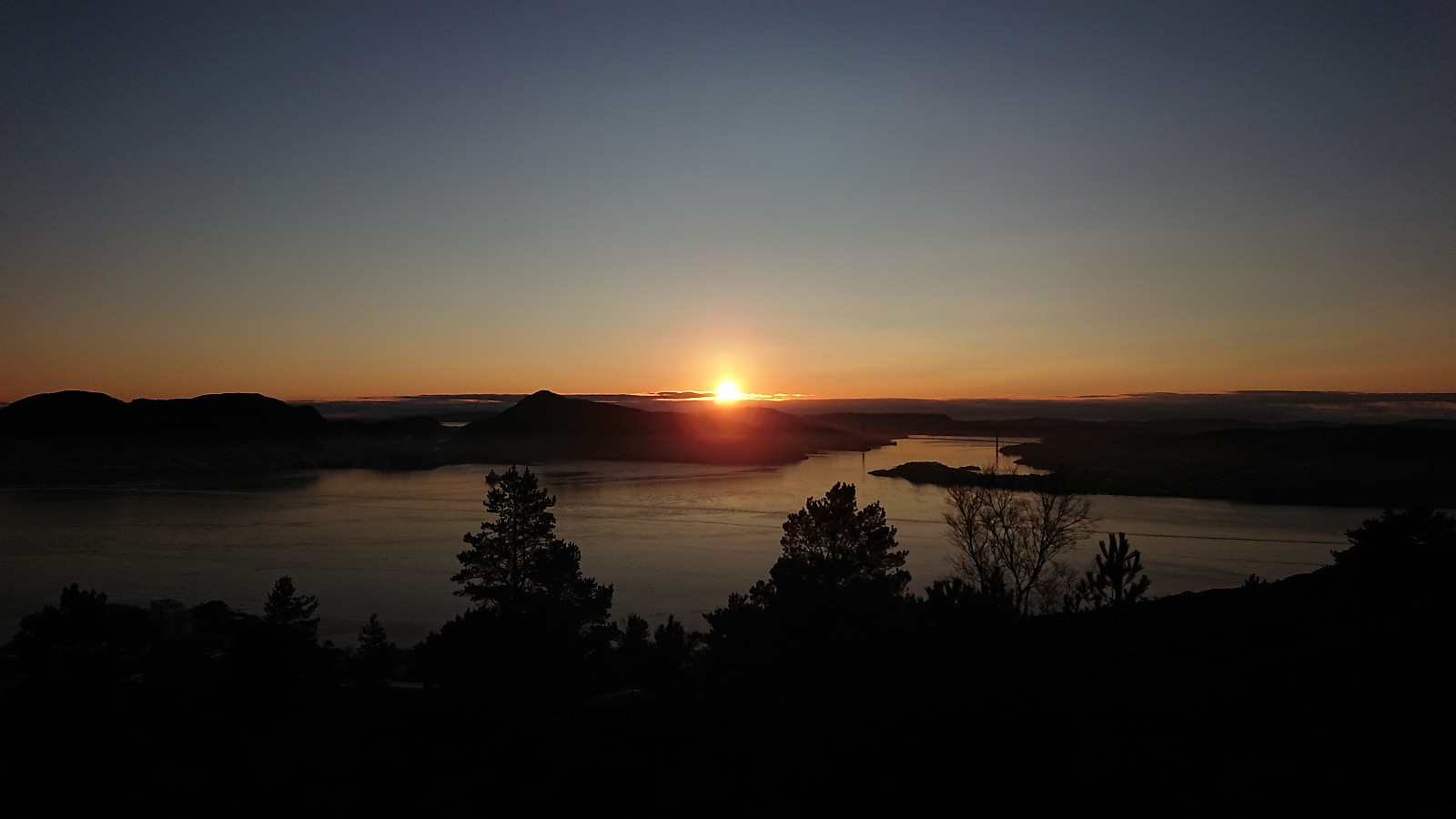
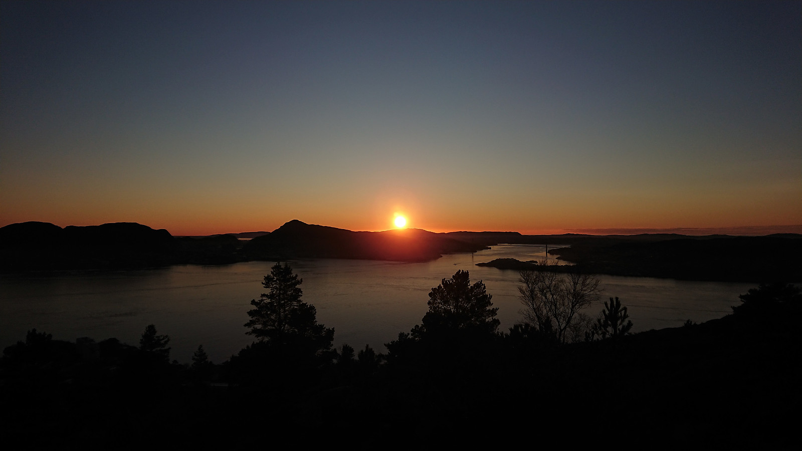
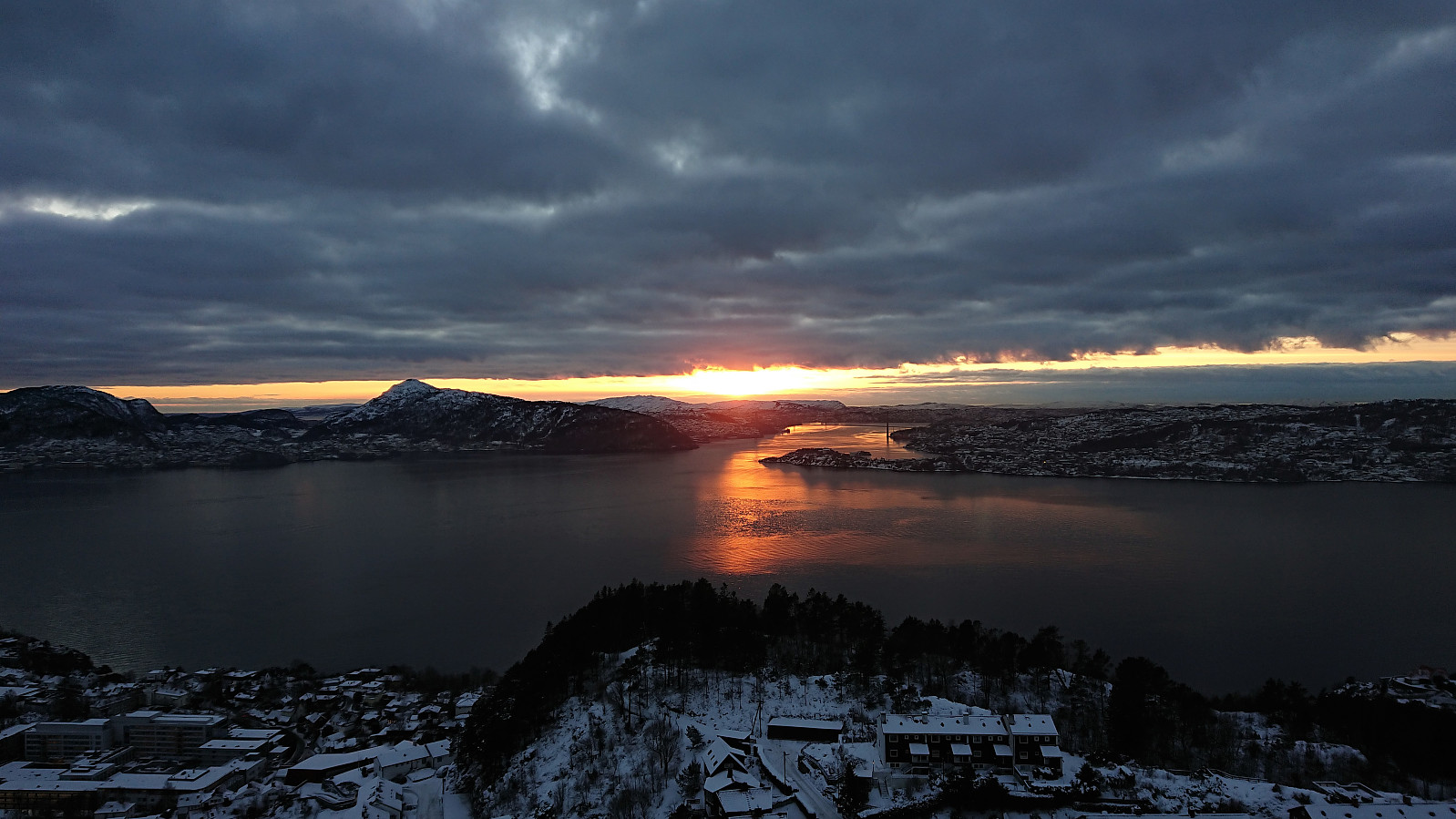 Short local hike after work to catch the sunset at the top of Ørneberget .
Ørneberget and Rognåsen
- Dato:
- 12.01.2021
- Turtype:
- Fjelltur
- Turlengde:
- 1:21t
- Distanse:
- 5,4km
 Short local hike in the snow after work.
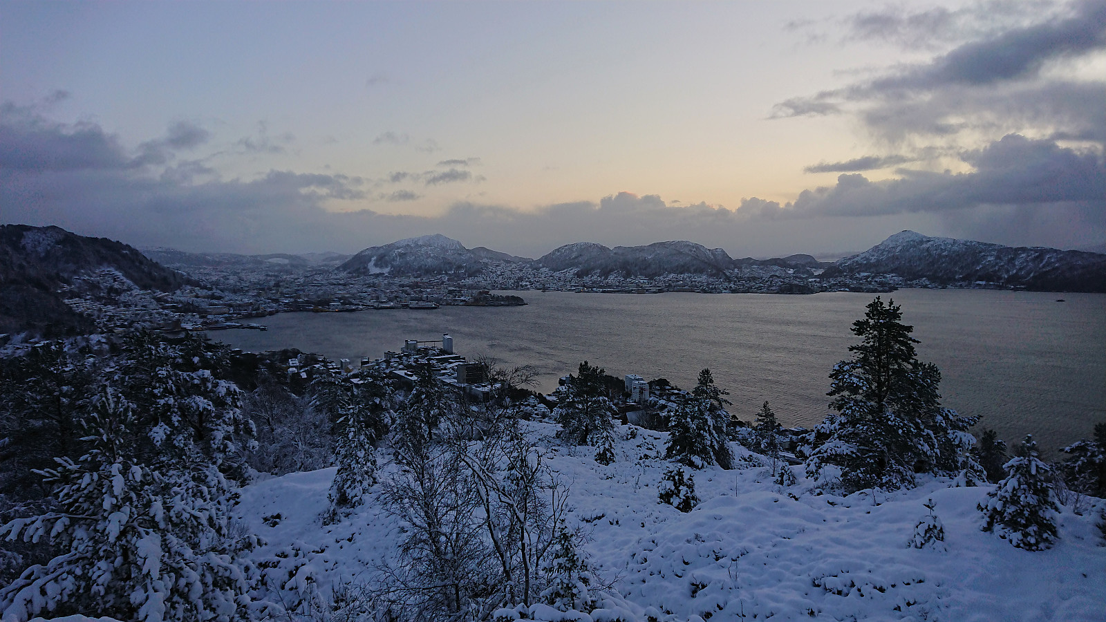
Ørneberget and Hellen festning
- Dato:
- 11.01.2021
- Turtype:
- Fjelltur
- Turlengde:
- 1:01t
- Distanse:
- 4,2km
 Short local hike before sunset.
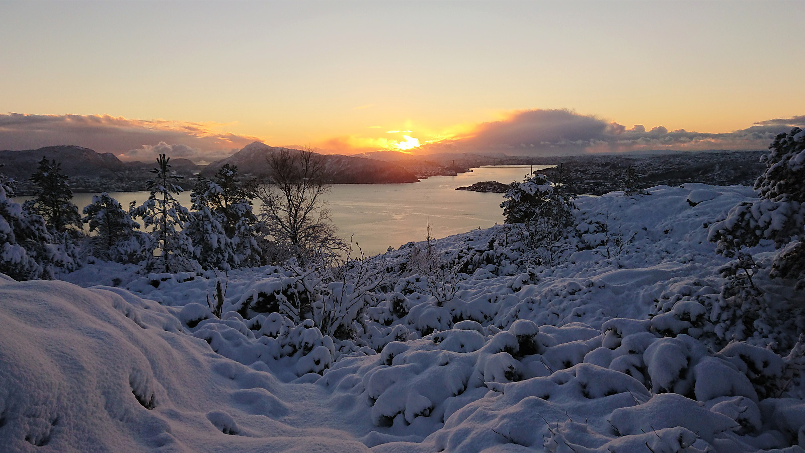
Ørneberget NV and Hellen festning
- Dato:
- 09.01.2021
- Turtype:
- Fjelltur
- Turlengde:
- 0:45t
- Distanse:
- 3,4km
 Short local hike with a bit of snow when passing over Ørneberget NV.
Ørneberget and Hellen festning
- Dato:
- 08.01.2021
- Turtype:
- Fjelltur
- Turlengde:
- 0:52t
- Distanse:
- 4,1km
 Short local hike before sunset.
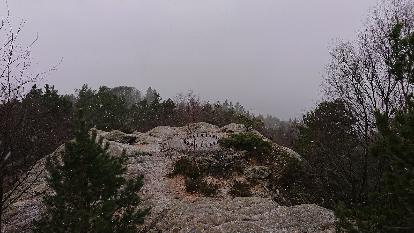
Ørneberget
- Dato:
- 07.01.2021
- Turtype:
- Fjelltur
- Turlengde:
- 3:16t
- Distanse:
- 4,4km
 Short local evening hike.
Ørneberget and Hellen festning
- Dato:
- 06.01.2021
- Turtype:
- Fjelltur
- Turlengde:
- 0:54t
- Distanse:
- 4,1km
 Yet another short local hike before sunset.
Ørneberget and Hellen festning
- Dato:
- 05.01.2021
- Turtype:
- Fjelltur
- Turlengde:
- 0:54t
- Distanse:
- 4,1km
 Another short local hike before sunset.
Ørneberget
- Dato:
- 04.01.2021
- Turtype:
- Fjelltur
- Turlengde:
- 0:49t
- Distanse:
- 3,9km
 Short local hike before sunset.
Rundemanen from Lønborg
- Dato:
- 03.01.2021
- Turtype:
- Fjelltur
- Turlengde:
- 4:19t
- Distanse:
- 16,7km
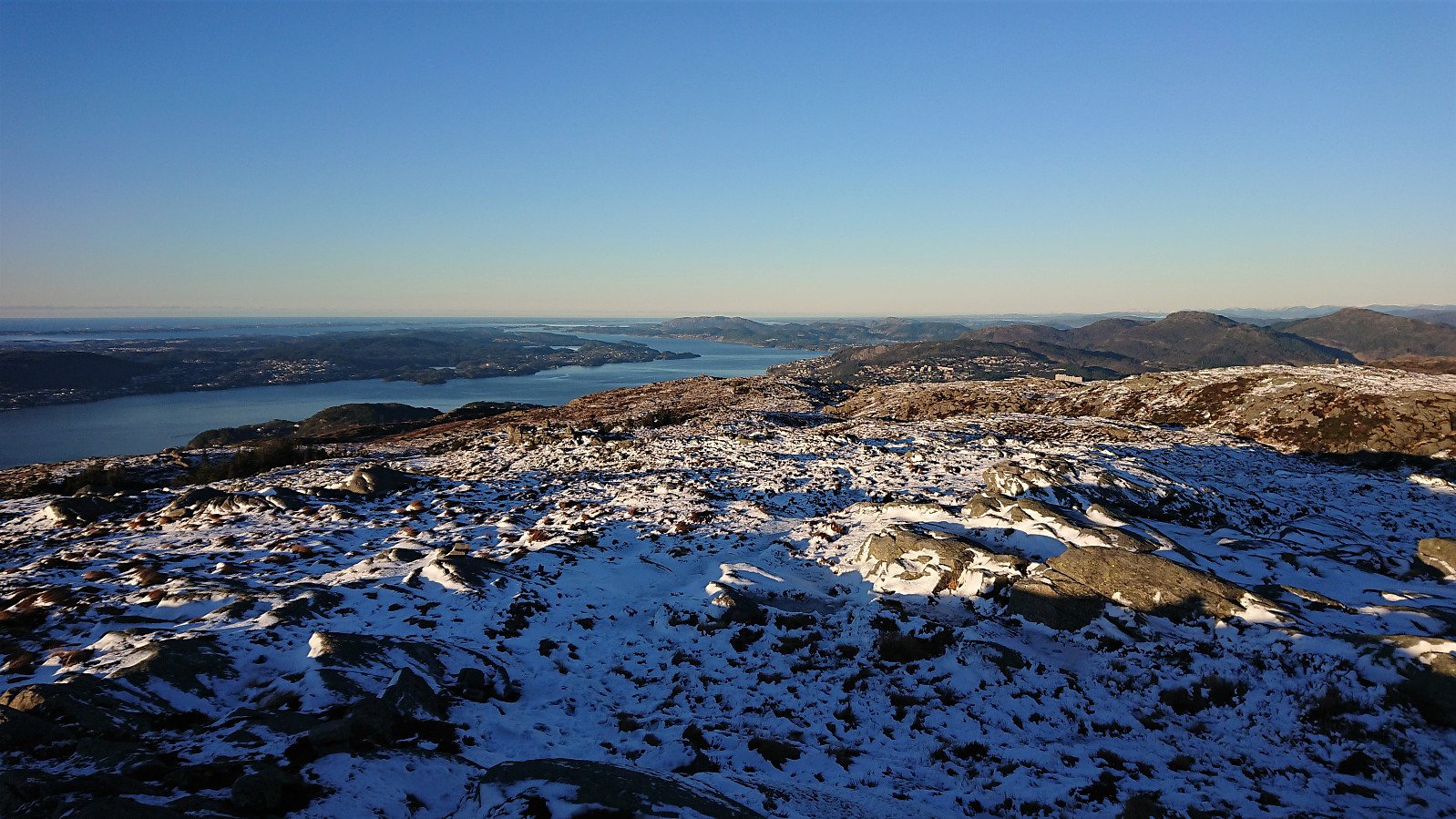 Sunday hike in excellent winter weather. Some ice on the trails and roads, most notably for the road from Rundemanen down to Brushytten .
