Arkiv - dato
Arkiv - aktivitet
-
Annen tur (3)
- Kajakkpadling (3)
- Fottur (1912)
-
Kjøretur (9)
- Biltur (9)
-
Skitur (116)
- Fjellskitur (69)
- Langrennstur (47)
-
Sykkeltur (116)
- Blandet sykling (28)
- Gatesykling (88)
Lister jeg samler etter
-
Utvalgte topper og turmål i Bergen
(351/352)
 99%
99% -
Alle topper i Bergen
(395/400)
98%
-
Voss ≥ 100m pf.
(96/98)
97%
-
Opptur Hordaland
(144/159)
90%
-
Stasjoner på Bergensbanen
(33/40)
82%
-
Ulvik ≥ 100m pf.
(30/38)
78%
-
Hordaland ≥ 100m pf.
(625/863)
72%
-
Mjølfjell PF > 100m
(21/31)
67%
-
Jondal ≥ 100m pf.
(15/23)
65%
-
Dagsturhyttene i Vestland
(38/62)
61%
-
Sunnhordland PF >= 100m
(106/186)
56%
-
Hordaland: Hardanger PF>=100m
(196/359)
54%
-
DNT-hytter i Hordaland
(25/46)
54%
-
Kvinnherad ≥ 100m pf.
(41/79)
51%
-
Eidfjord ≥ 100m pf.
(13/42)
30%
-
Sogndal ≥ 100m pf.
(23/81)
28%
-
Gulen ≥ 100m pf.
(15/54)
27%
-
Vik i Sogn ≥ 100m pf.
(10/46)
21%
-
Sogn - Sør for Sognefjorden PF>=100m
(31/159)
19%
-
DNT-hytter i Sogn og Fjordane
(8/47)
17%


Garnes to Indre Arna via Ådnanipa
- Dato:
- 24.05.2026
- Turtype:
- Fjelltur
- Turlengde:
- 2:21t
- Distanse:
- 7,0km
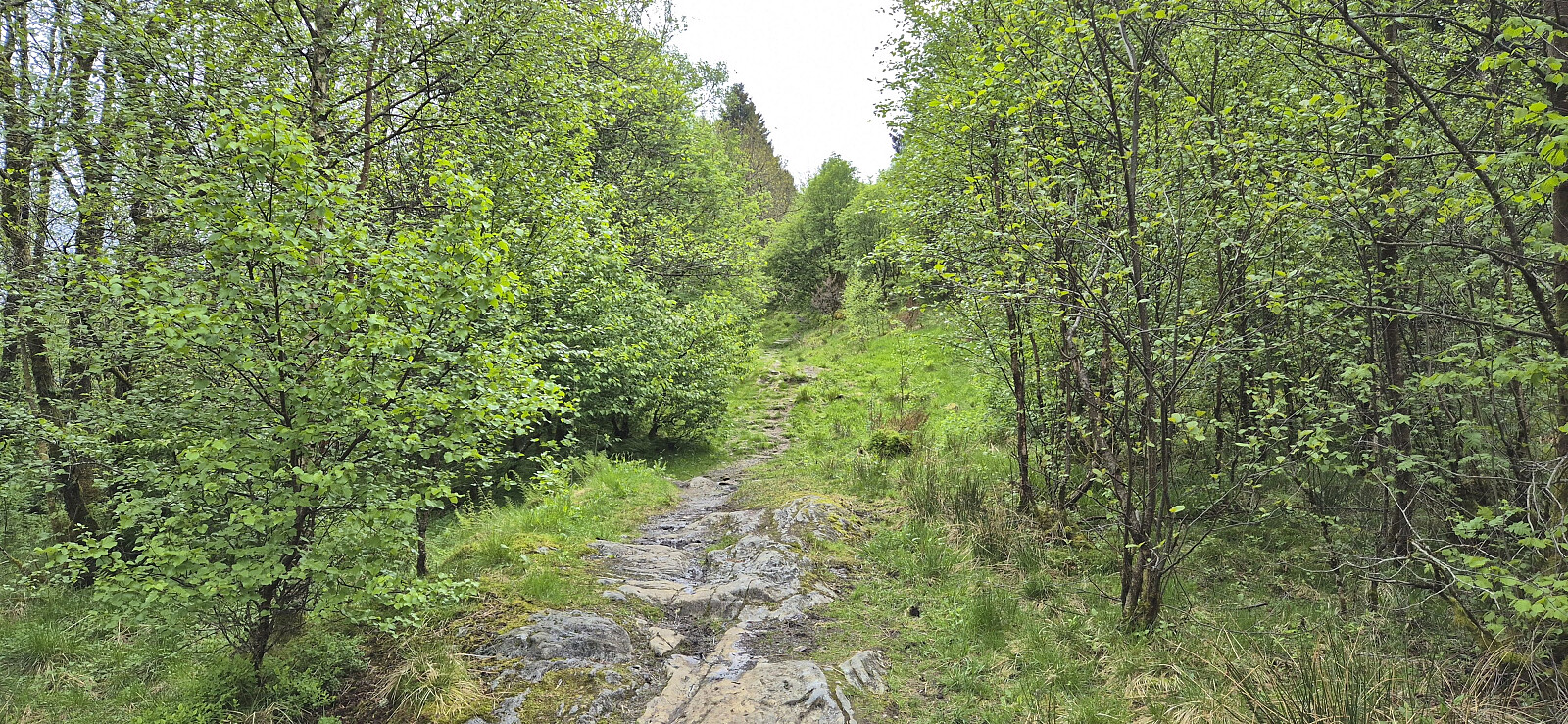 A return to Arna for a revisit of Ådnanipa via a (for me) new route from Garnes. I had also considered continuing to Skåldalsfjellet , but the cold wind made this less appealing. Instead, I descended via a steep trail that on more than one occasion bordered on scrambling. Probably easier as an ascent route.

Ørneberget and Rognåsen in dense fog
- Dato:
- 23.05.2026
- Turtype:
- Fjelltur
- Turlengde:
- 1:31t
- Distanse:
- 5,7km
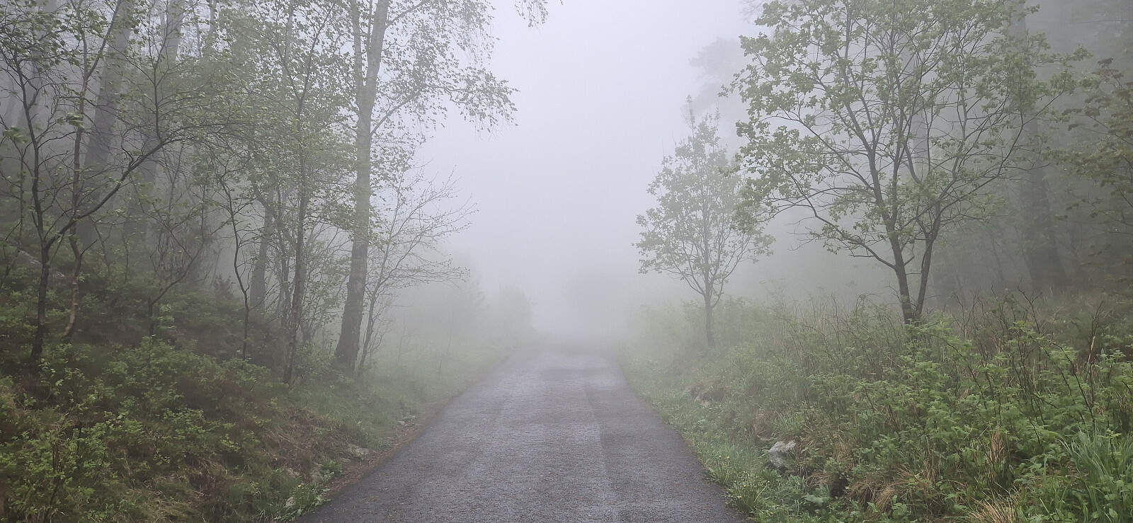 Short local Saturday hike in dense fog.
Ørneberget and Furukammen
- Dato:
- 17.05.2026
- Turtype:
- Fjelltur
- Turlengde:
- 0:54t
- Distanse:
- 3,9km
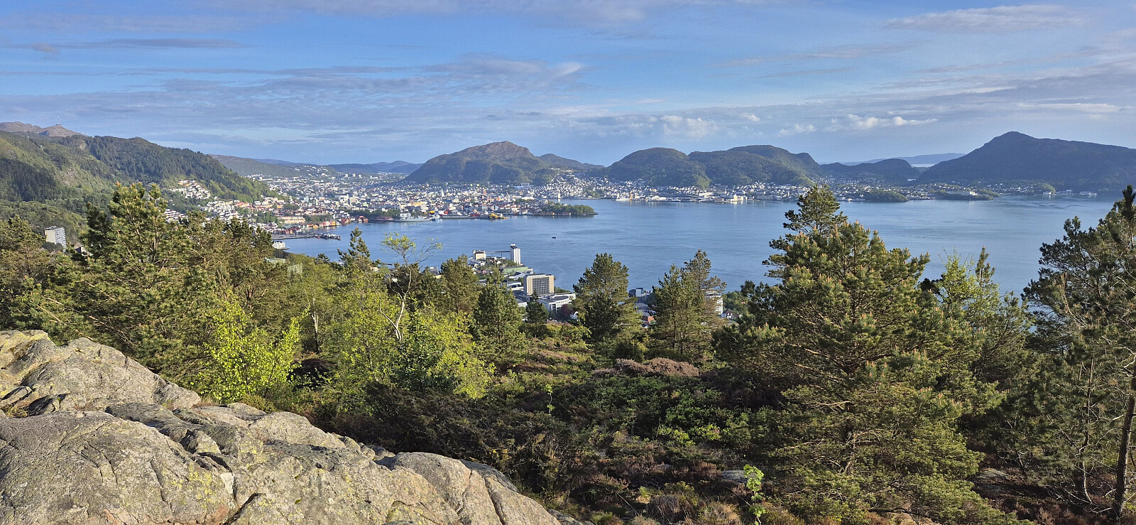 Short local evening hike that included my 250th ascent of Ørneberget (since 2016).
Svabergfjellet from Sollibotn
- Dato:
- 15.05.2026
- Turtype:
- Fjelltur
- Turlengde:
- 7:31t
- Distanse:
- 20,5km
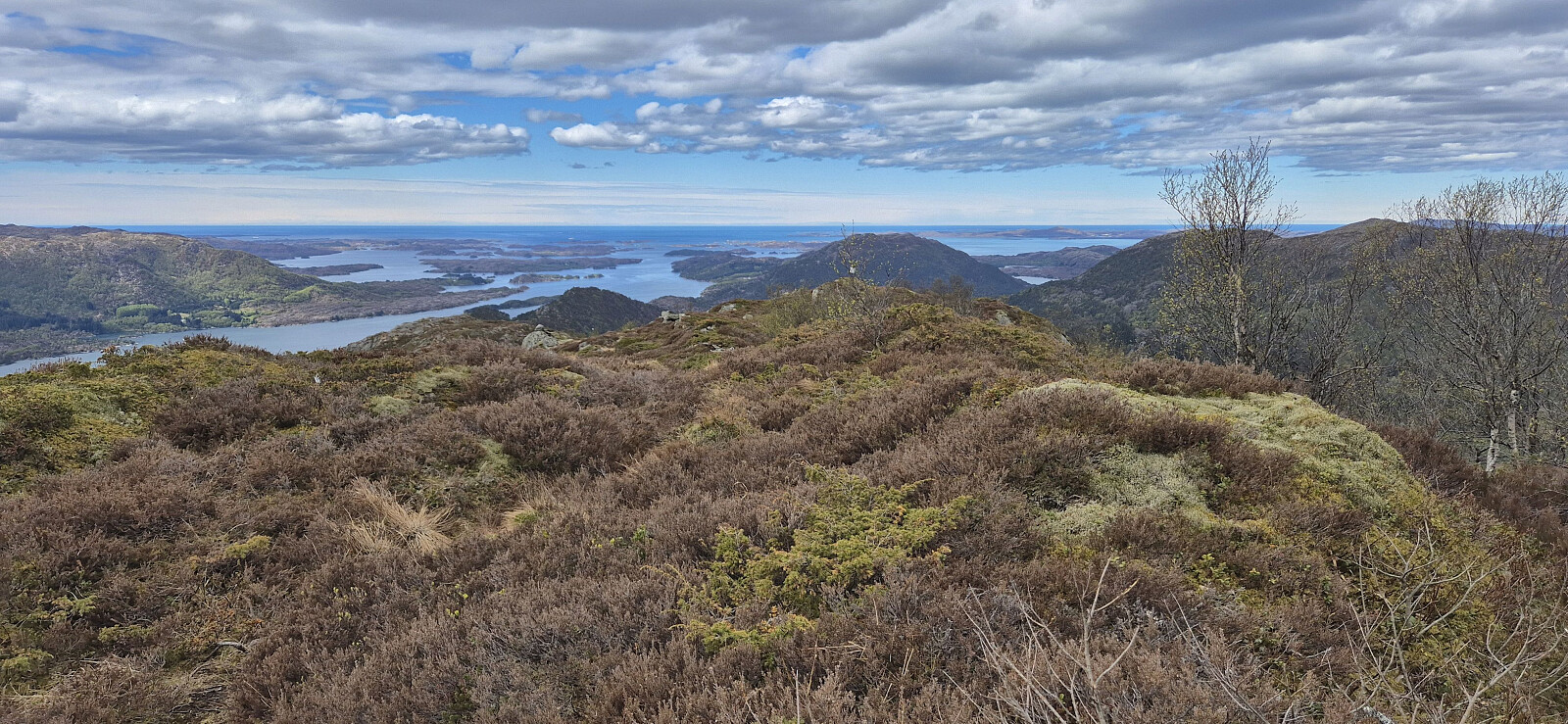 A return to Gulen to complete the ascent of Svabergfjellet that I had to abandon due to running out of time during my hike three weeks earlier . Once more I took the express boat from Bergen and followed the gravel path towards Eivindvik but this time skipping the visit of Gulakvila and Kvitebergnova and instead heading directly to Undertun and the marked trailhead for the hike around Undertundalen.
After a quick stop at Flogefjellet , I continued east towards Svabergfjellet via Flolifjellet on a rather weak and (at best) inconsistently marked trail. But at least the otherwise potentially challenging descent into Floliskardet was clearly marked and the overall direction, except for the descent to Floliskardet, was pretty obvious.
Due to a strong and cold wind at the summit, I did not stay long at Svabergfjellet but quickly continued towards Heia and Ormekletten , still on a rather weak and inconsistently >>>
A return to Gulen to complete the ascent of Svabergfjellet that I had to abandon due to running out of time during my hike three weeks earlier . Once more I took the express boat from Bergen and followed the gravel path towards Eivindvik but this time skipping the visit of Gulakvila and Kvitebergnova and instead heading directly to Undertun and the marked trailhead for the hike around Undertundalen.
After a quick stop at Flogefjellet , I continued east towards Svabergfjellet via Flolifjellet on a rather weak and (at best) inconsistently marked trail. But at least the otherwise potentially challenging descent into Floliskardet was clearly marked and the overall direction, except for the descent to Floliskardet, was pretty obvious.
Due to a strong and cold wind at the summit, I did not stay long at Svabergfjellet but quickly continued towards Heia and Ormekletten , still on a rather weak and inconsistently >>>
Nordbykollen from Drammen stasjon
- Dato:
- 10.05.2026
- Turtype:
- Fjelltur
- Turlengde:
- 3:03t
- Distanse:
- 9,8km
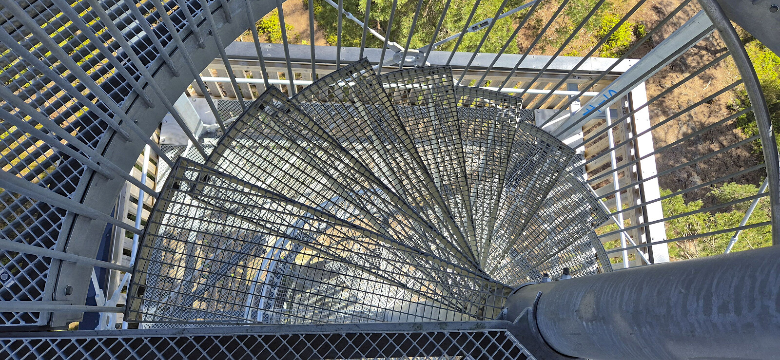 When having to arrive the day before to attend a two-day conference in Oslo, I decided to leave Bergen early such that I could also get the chance to include a short hike. After flying to Gardermoen I continued by train to Drammen from where I set aim for Nordbykollen just as it stopped raining and the sun started to appear. I quickly came across signs for Nordbykollen which I could more or less follow all the way to the summit. I did however make a couple of minor detours on the way, including an ascent of Svenskeåsen and a lunch break at Speiderhytta , before heading to the large lookout tower at the top of Nordbykollen. I descended via an alternative route and then returned the same way to the train station. Overall, a nice short hike with excellent views from the summit thanks to the tower.
Oppstemten and Hellerane
- Dato:
- 07.05.2026
- Turtype:
- Fjelltur
- Turlengde:
- 1:55t
- Distanse:
- 5,9km
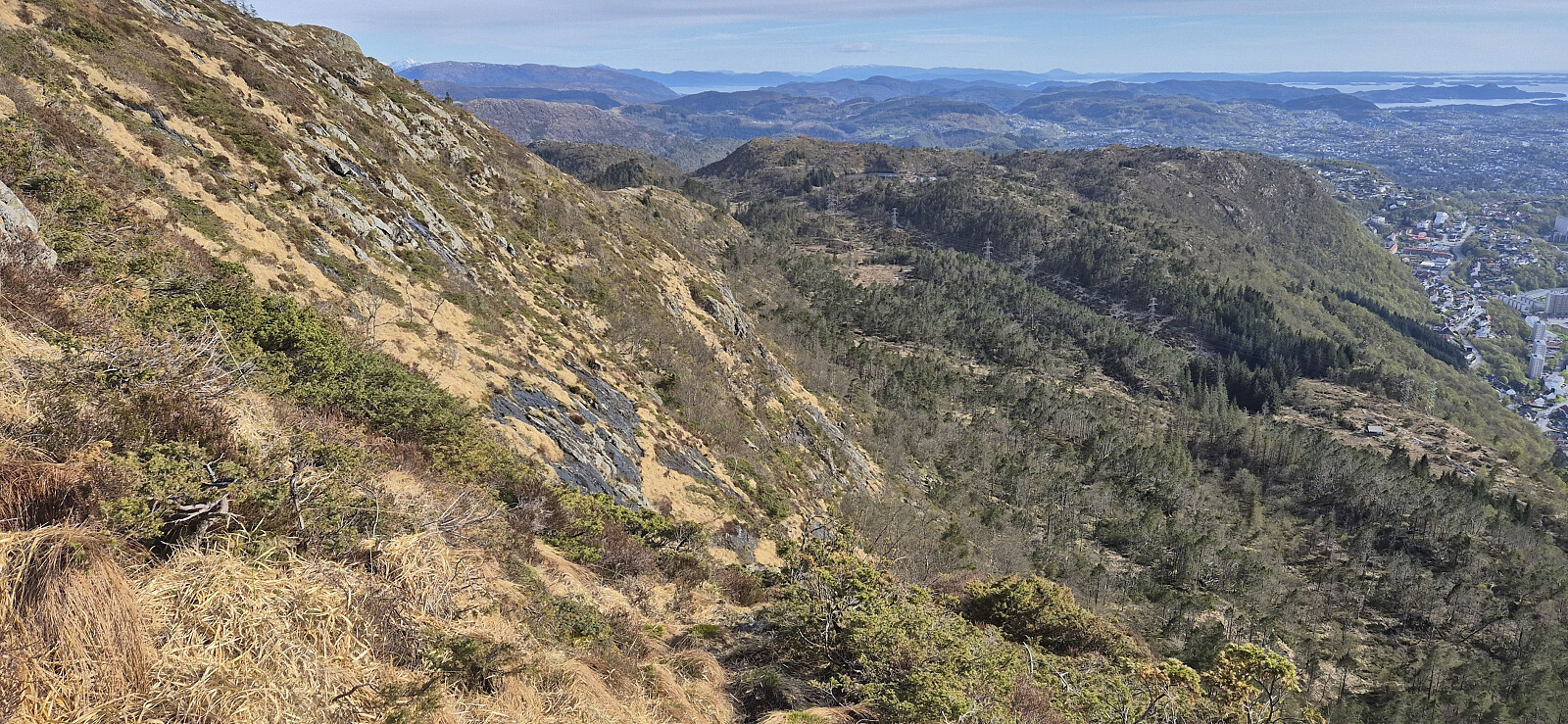 Short hike before heading home from work. For the descent I explored a new route via Hellerane . Weak and steepish at the top but otherwise ok. Probably works even better as an ascent route though and should most likely be avoided in the winter when there is snow and ice. Nice viewpoint at Hellerane.
Ørneberget and Rognåsen
- Dato:
- 03.05.2026
- Turtype:
- Fjelltur
- Turlengde:
- 1:25t
- Distanse:
- 6,0km
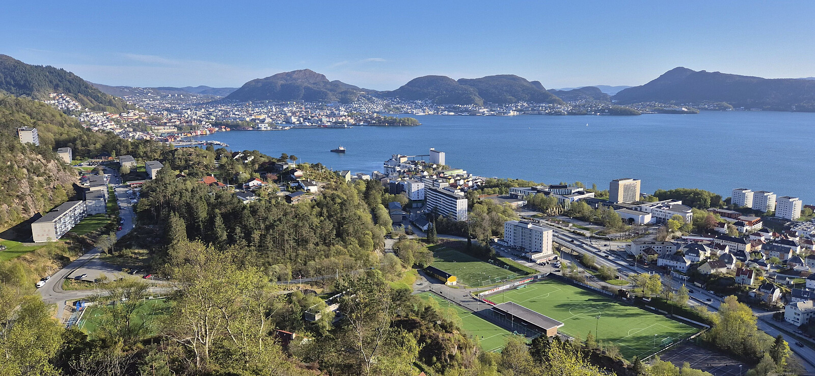 Short local Sunday hike.
Gulakvila, Kvitebergnova and Flogefjellet from Sollibotn
- Dato:
- 26.04.2026
- Turtype:
- Fjelltur
- Turlengde:
- 8:53t
- Distanse:
- 25,4km
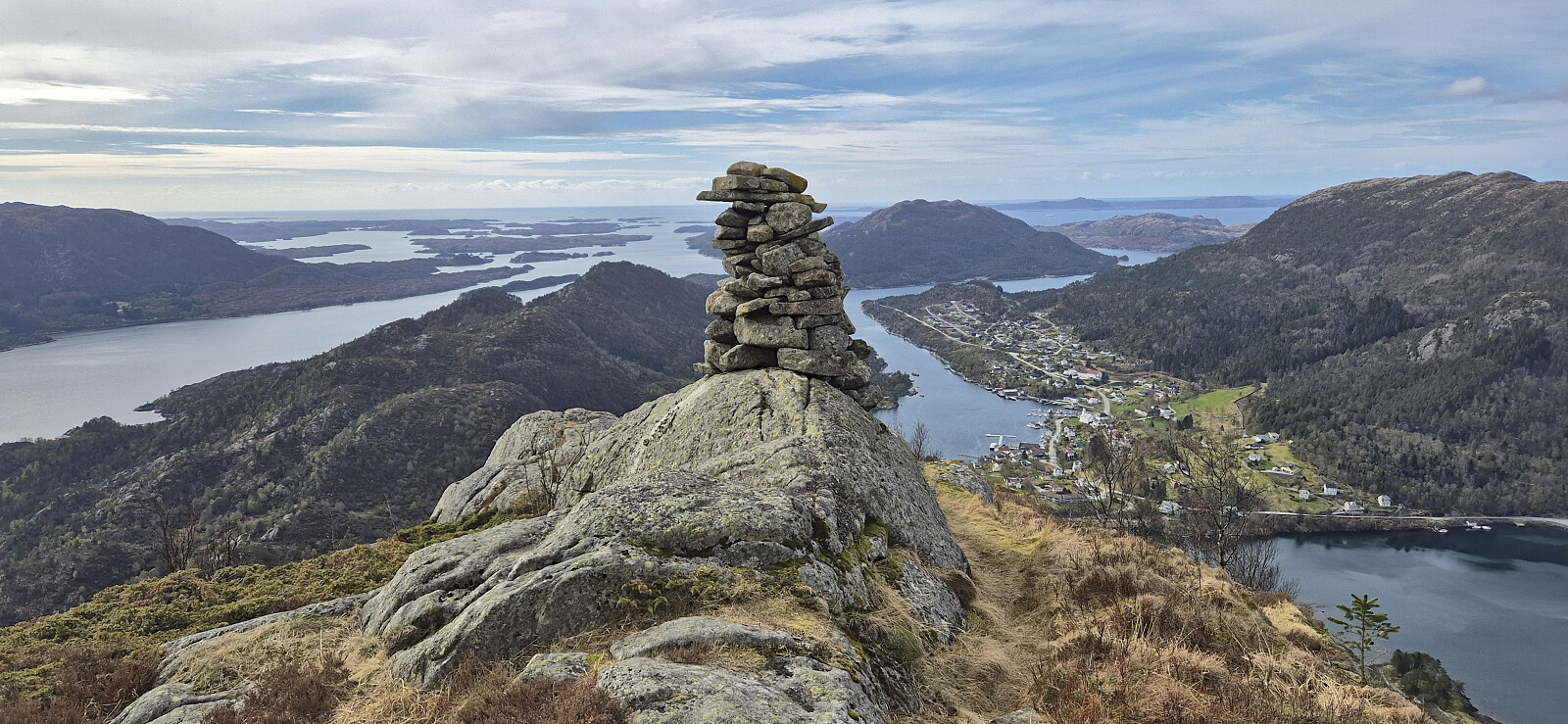 After travelling 1.5 hours north on the express boat from Bergen, I got off a Sollibotn and continued on foot towards Gulakvila . I only had to walk less than 100 meters along the paved road before switching to a gravel path that took me up to the marked trailhead and a marked trail that could easily be followed via Løypingsåsen to the cabin.
My next goal was Kvitebergnova . In advance I had considered two options: (i) descend to Eivindvik and ascend from Midttun (where I, thanks to Lise Grønbukt 's trip report , had learnt about a marked trail) or (ii) head northwest and ascend via Høgefjellet . When arriving at the unnamed 123 lake just northeast of Gulakvila, I however came across a sign for Kvitbergnova that pointed east. Hoping that this would save me an unnecessary detour, I decided to give it a go, even though this trail was not indicated on the >>>
After travelling 1.5 hours north on the express boat from Bergen, I got off a Sollibotn and continued on foot towards Gulakvila . I only had to walk less than 100 meters along the paved road before switching to a gravel path that took me up to the marked trailhead and a marked trail that could easily be followed via Løypingsåsen to the cabin.
My next goal was Kvitebergnova . In advance I had considered two options: (i) descend to Eivindvik and ascend from Midttun (where I, thanks to Lise Grønbukt 's trip report , had learnt about a marked trail) or (ii) head northwest and ascend via Høgefjellet . When arriving at the unnamed 123 lake just northeast of Gulakvila, I however came across a sign for Kvitbergnova that pointed east. Hoping that this would save me an unnecessary detour, I decided to give it a go, even though this trail was not indicated on the >>>
Sjurstonipa from Breistein via Ytre Arna
- Dato:
- 25.04.2026
- Turtype:
- Fjelltur
- Turlengde:
- 3:05t
- Distanse:
- 9,8km
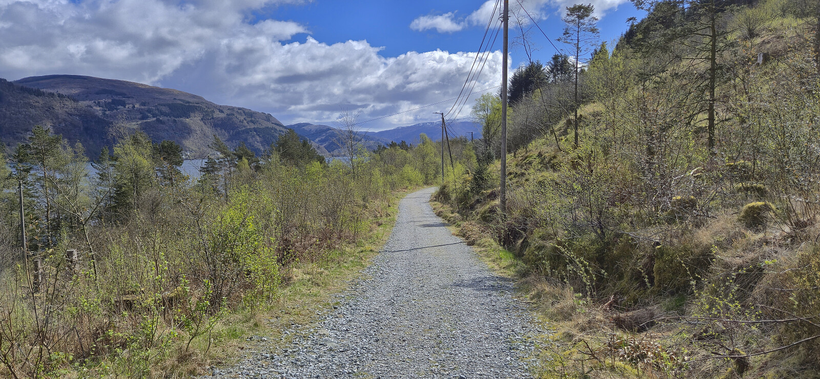 On a nice but windy Saturday I stayed away from the higher peaks and instead tried a new route from Breistein to Ytre Arna before heading via Sjurstonipa and Spåkefjellet on my way to Gaupås. Overall, a nice hike along good trails and great views. Can be recommended.
Nukane, Storsåta and Langelifjellet
- Dato:
- 21.04.2026
- Turtype:
- Fjelltur
- Turlengde:
- 4:08t
- Distanse:
- 9,9km
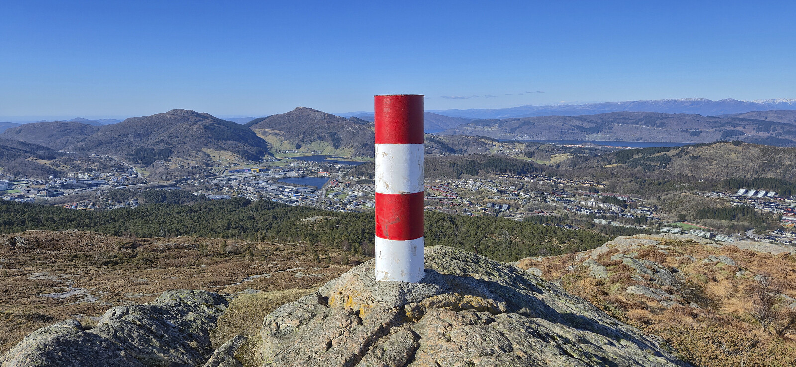 Hike in Åsane with four of my colleagues after work.


