Arkiv - dato
Arkiv - aktivitet
-
Annen tur (3)
- Kajakkpadling (3)
- Fottur (1884)
-
Kjøretur (9)
- Biltur (9)
-
Skitur (116)
- Fjellskitur (69)
- Langrennstur (47)
-
Sykkeltur (110)
- Blandet sykling (25)
- Gatesykling (85)
Lister jeg samler etter
-
Utvalgte topper og turmål i Bergen
(348/349)
 99%
99% -
Alle topper i Bergen
(391/398)
98%
-
Voss ≥ 100m pf.
(96/98)
97%
-
Opptur Hordaland
(144/159)
90%
-
Stasjoner på Bergensbanen
(33/40)
82%
-
Ulvik ≥ 100m pf.
(28/38)
73%
-
Hordaland ≥ 100m pf.
(622/863)
72%
-
Mjølfjell PF > 100m
(21/31)
67%
-
Jondal ≥ 100m pf.
(15/23)
65%
-
Dagsturhyttene i Vestland
(36/61)
59%
-
Sunnhordland PF >= 100m
(105/186)
56%
-
Hordaland: Hardanger PF>=100m
(194/359)
54%
-
DNT-hytter i Hordaland
(23/45)
51%
-
Kvinnherad ≥ 100m pf.
(40/79)
50%
-
Eidfjord ≥ 100m pf.
(13/42)
30%
-
Sogndal ≥ 100m pf.
(23/81)
28%
-
Gulen ≥ 100m pf.
(15/54)
27%
-
Vik i Sogn ≥ 100m pf.
(10/46)
21%
-
Sogn - Sør for Sognefjorden PF>=100m
(31/159)
19%
-
DNT-hytter i Sogn og Fjordane
(8/47)
17%

Steinen and Øyjordsåsen
- Dato:
- 23.04.2024
- Turtype:
- Fjelltur
- Turlengde:
- 2:21t
- Distanse:
- 6,9km
 When a two-day meeting at Solstrand came to an end, I made the rather unusual choice of skipping the concluding lunch at the hotel and instead changed into my hiking gear and hopped on a bus to Sævareid with the goal of visiting the final two peaks I had left in Bjørnafjorden. After switching buses at Kilen I got off at "Sævareid sør". This put me right at the start of Markhusvegen and I now had just under 2.5 hours to complete my hike and return to the bus stop before the last bus of the day would take me back to Bergen.
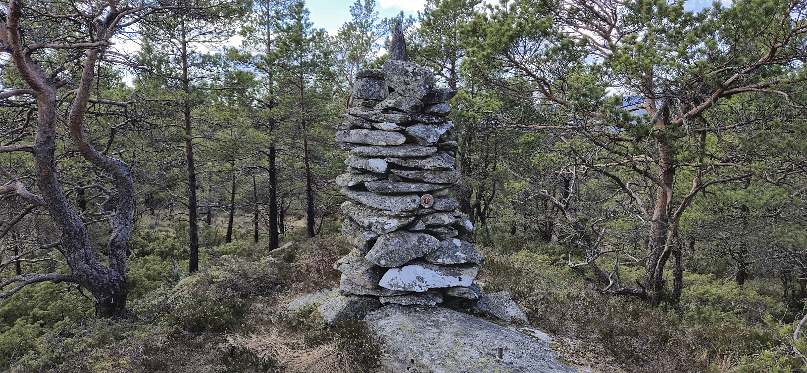
I started by following Markhusvegen up towards Markhus but left the gravel road just as it flattened out and instead headed off-trail towards the summit of Steinen , leaving my heavy backpack behind at the first opportunity. The ascent started quite steep and even required some >>>
When a two-day meeting at Solstrand came to an end, I made the rather unusual choice of skipping the concluding lunch at the hotel and instead changed into my hiking gear and hopped on a bus to Sævareid with the goal of visiting the final two peaks I had left in Bjørnafjorden. After switching buses at Kilen I got off at "Sævareid sør". This put me right at the start of Markhusvegen and I now had just under 2.5 hours to complete my hike and return to the bus stop before the last bus of the day would take me back to Bergen.
I started by following Markhusvegen up towards Markhus but left the gravel road just as it flattened out and instead headed off-trail towards the summit of Steinen , leaving my heavy backpack behind at the first opportunity. The ascent started quite steep and even required some >>>
Storhaugen på Seløy
- Dato:
- 17.04.2024
- Turtype:
- Fjelltur
- Turlengde:
- 0:48t
- Distanse:
- 0,8km
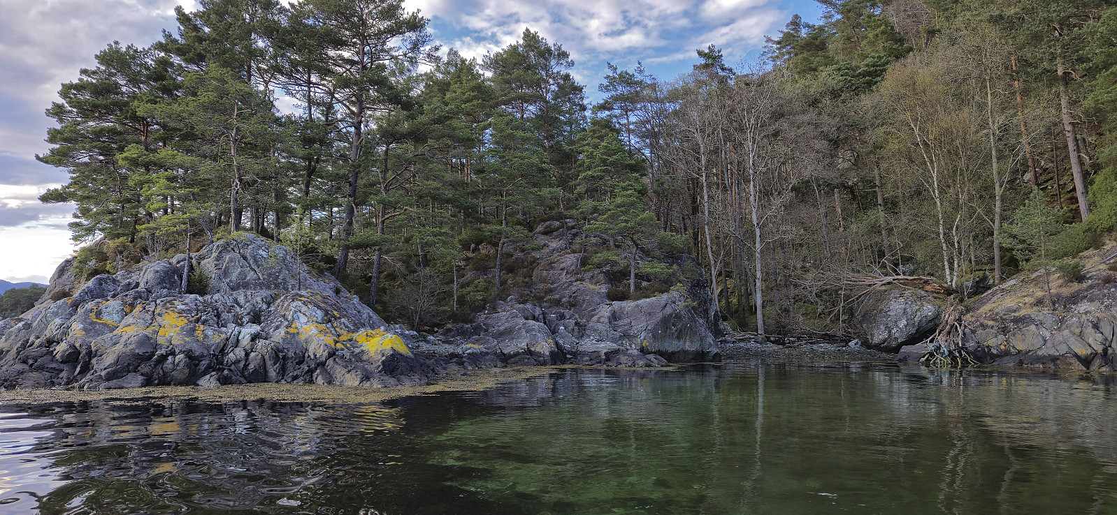 A visit of Storhaugen på Seløy had been on my wish list for a while, especially after it became the only peak left on the Tysnes ≥ 100m pf. list. But while the short ascent to the summit should be straightforward, the challenge was how to get to the island. Kjell had exhausted his connections in the area without any luck, so I asked a colleague of mine who used to live at Tysnes. It turned out that his daughter and son-in-law were living in Onarheim and it therefore did not take long before we had secured our boat ride to Seløy! Of course, only after initial questions such as: are you sure you mean Seløy?! and, why would anybody want to go there?! ;)
To make the most out of the trip, I also invited Petter and Endre and together with Kjell we found a time that worked for everybody. Petter travelled by himself earlier in the morning to visit >>>
A visit of Storhaugen på Seløy had been on my wish list for a while, especially after it became the only peak left on the Tysnes ≥ 100m pf. list. But while the short ascent to the summit should be straightforward, the challenge was how to get to the island. Kjell had exhausted his connections in the area without any luck, so I asked a colleague of mine who used to live at Tysnes. It turned out that his daughter and son-in-law were living in Onarheim and it therefore did not take long before we had secured our boat ride to Seløy! Of course, only after initial questions such as: are you sure you mean Seløy?! and, why would anybody want to go there?! ;)
To make the most out of the trip, I also invited Petter and Endre and together with Kjell we found a time that worked for everybody. Petter travelled by himself earlier in the morning to visit >>>
Olsokfjellet and Lyreneset
- Dato:
- 16.04.2024
- Turtype:
- Fjelltur
- Turlengde:
- 3:39t
- Distanse:
- 10,6km
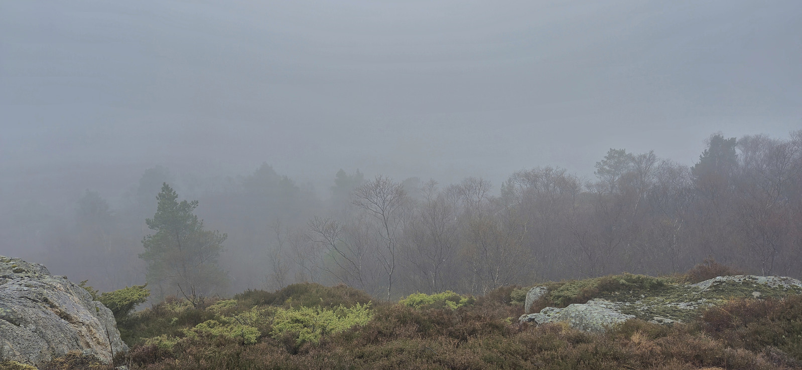 One of my colleagues suggested that we should do a short hike to Olsokfjellet after work, mainly so that she could collect more "stolper" for Stolpejakten , and we managed to get one additional colleague to join. The nice weather we had been promised when deciding on the hike the day before was however replaced by rain showers for the first part of the hike and a dense fog hiding most of the views. After descending via Damsgårdsfjellet to Laksevåg, two of us continued north to finish of the hike with an interesting exploration of Lyreneset .
Aksla and Revurefjellet from Nordtveit
- Dato:
- 14.04.2024
- Turtype:
- Fjelltur
- Turlengde:
- 2:52t
- Distanse:
- 8,7km
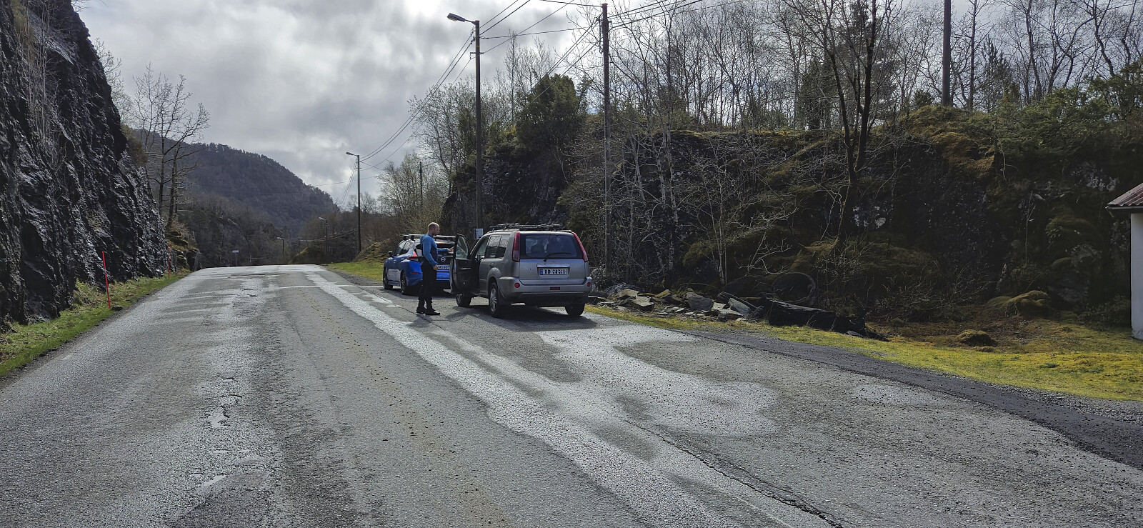 After our hike to Senafjellet , Endre and I drove the short distance south to Nordtveit where we parked at a designated location next to the road and from there followed the marked trails for Revurefjellet . Our first goal was however Aksla and after first following the tractor road up to Vetlavatnet and from there the marked trail to Svineskaret, we left the trail for Revurefjellet and instead continued northeast on the marked trail to Aksla.
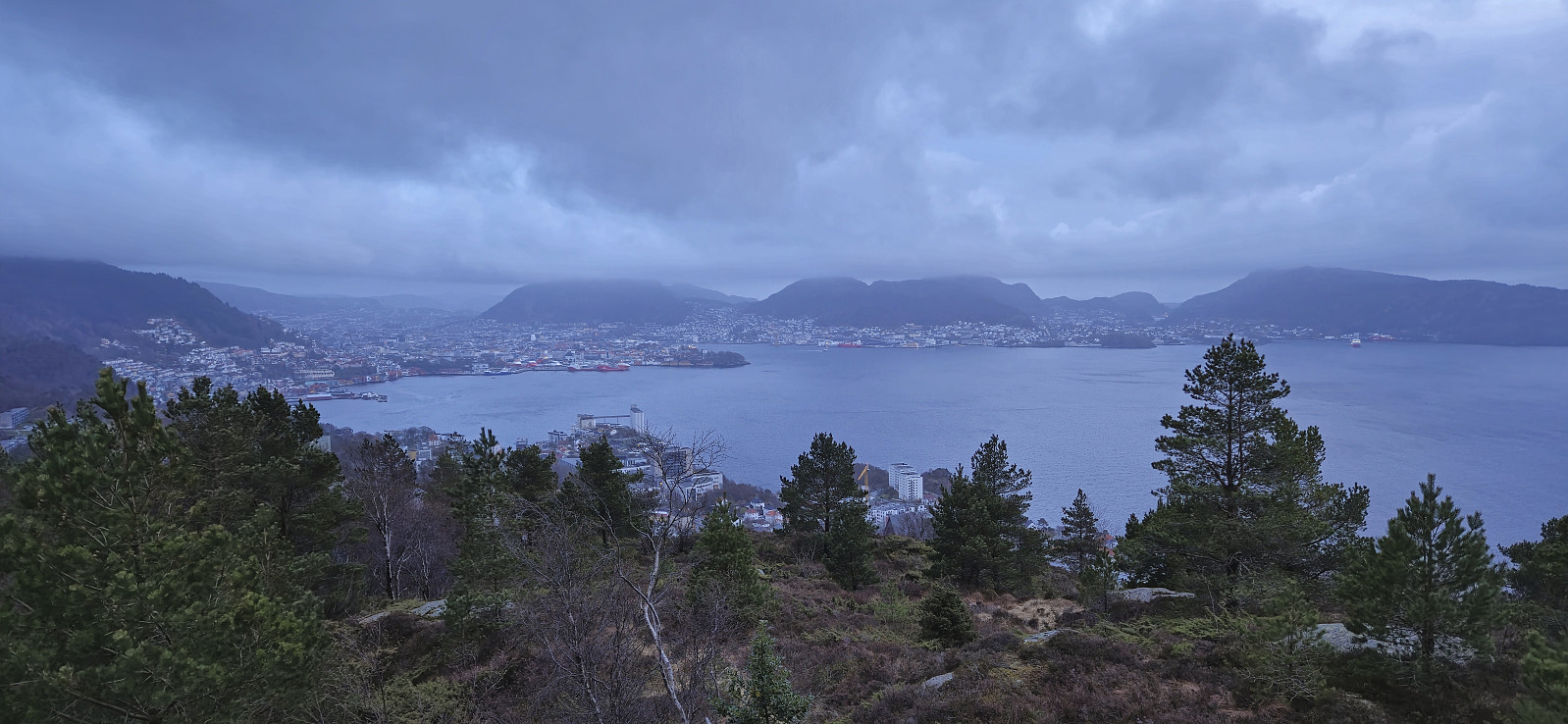
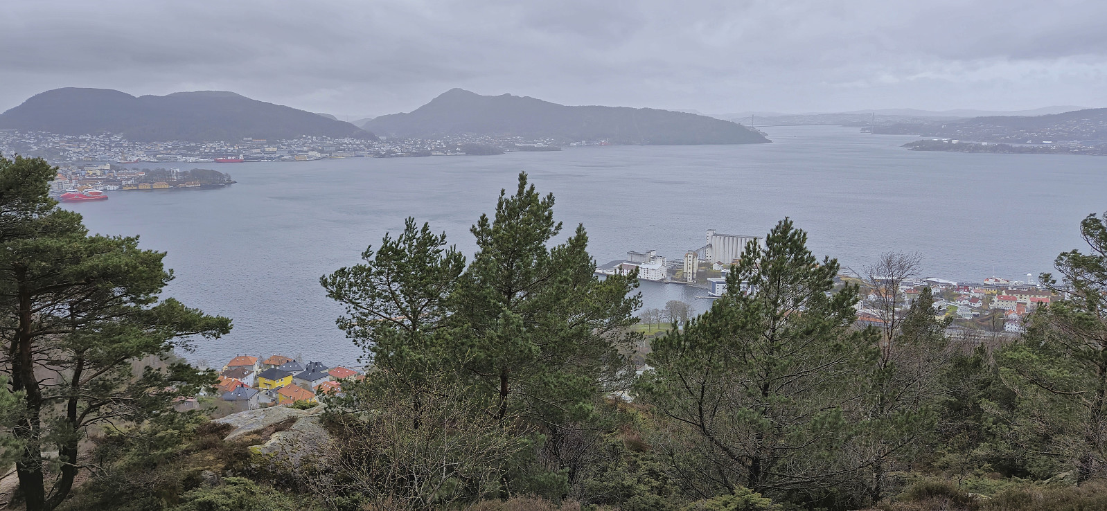
The trails were overall quite wet but the trail markers had recently been refreshed and overall we did not have any problems finding our way. The summit of Aksla provided excellent views and we would perhaps have stayed longer if it had not been for the cold wind. After a quick visit of the alternative and slightly lower summit to the south we therefore reconnected with the marked trail and continued southwest to Revurefjellet via Svartavatnet.
After our hike to Senafjellet , Endre and I drove the short distance south to Nordtveit where we parked at a designated location next to the road and from there followed the marked trails for Revurefjellet . Our first goal was however Aksla and after first following the tractor road up to Vetlavatnet and from there the marked trail to Svineskaret, we left the trail for Revurefjellet and instead continued northeast on the marked trail to Aksla.
The trails were overall quite wet but the trail markers had recently been refreshed and overall we did not have any problems finding our way. The summit of Aksla provided excellent views and we would perhaps have stayed longer if it had not been for the cold wind. After a quick visit of the alternative and slightly lower summit to the south we therefore reconnected with the marked trail and continued southwest to Revurefjellet via Svartavatnet.
Senafjellet from Femanger
- Dato:
- 14.04.2024
- Turtype:
- Fjelltur
- Turlengde:
- 2:07t
- Distanse:
- 4,0km
 Endre picked me up at my place and together we drove south to Bjørnafjorden via Samnanger. Our first goal was Senafjellet where we, thanks to previous trip reports, easily located the small parking area just north of the small bridge at Femanger. After a short walk east we left the gravel road and began our off-trail ascent towards the summit.
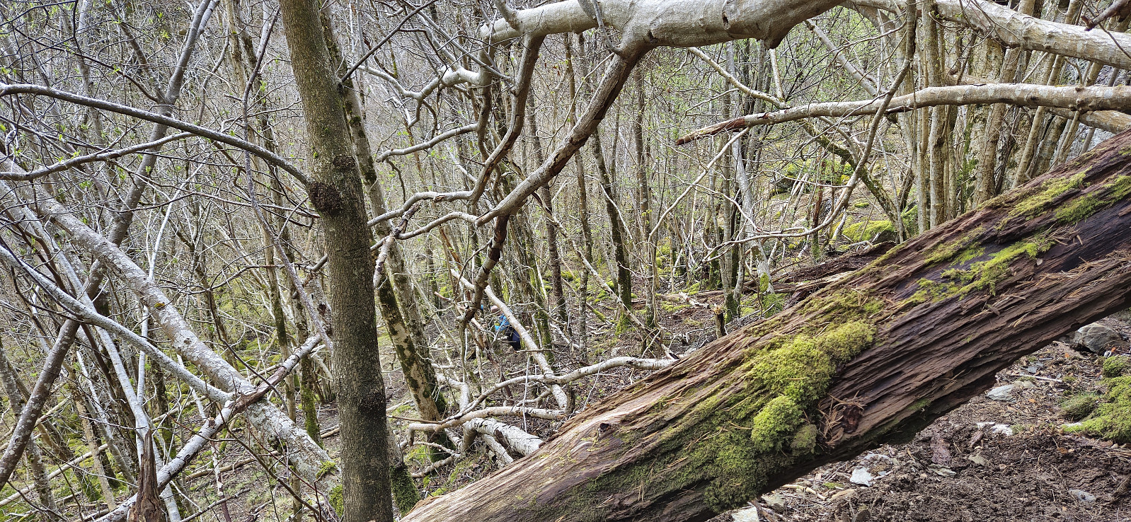
The ascent started quite steep and muddy, with lots of trees to navigate around/over, but it did not take long before we were following what almost looked like a trail. It was most likely just deer tracks though, which became more obvious the higher up we got. We decided to more or less follow the narrow valley in a straight line all the way to the summit. This worked out fine and did not present any real challenges.
As we approached the summit the light rain shower that >>>
Endre picked me up at my place and together we drove south to Bjørnafjorden via Samnanger. Our first goal was Senafjellet where we, thanks to previous trip reports, easily located the small parking area just north of the small bridge at Femanger. After a short walk east we left the gravel road and began our off-trail ascent towards the summit.
The ascent started quite steep and muddy, with lots of trees to navigate around/over, but it did not take long before we were following what almost looked like a trail. It was most likely just deer tracks though, which became more obvious the higher up we got. We decided to more or less follow the narrow valley in a straight line all the way to the summit. This worked out fine and did not present any real challenges.
As we approached the summit the light rain shower that >>>
Ørneberget and Hellen festning
- Dato:
- 10.04.2024
- Turtype:
- Fjelltur
- Turlengde:
- 1:04t
- Distanse:
- 4,3km
 Short local evening hike.
Håmanen and Hellemyrstien
- Dato:
- 07.04.2024
- Turtype:
- Fjelltur
- Turlengde:
- 1:21t
- Distanse:
- 6,3km
 Short local hike on a wet and windy Sunday. Managed to avoid the rain showers though.
Blåurskampen and Kampen
- Dato:
- 06.04.2024
- Turtype:
- Fjelltur
- Turlengde:
- 1:46t
- Distanse:
- 6,5km
 Short evening hike between the rain showers with the main objective of visiting Kampen , a recent addition to the Alle topper i Bergen list . On my way there I also passed by Blåurskampen which could potentially also be added to the list, but with only deer tracks to follow and very limited views from the summit I decided to not add it as its own PB-element (update: it was later added by Helwig ). Kampen could be easily ascended from the east, and I probably should have descended that way as well, but instead decided on a shortcut northeast along the ridge. A bit steep towards the end but no real challenges. Not sure if I saved much time compared to the easier route back east though.
Ørneberget and Furukammen
- Dato:
- 05.04.2024
- Turtype:
- Fjelltur
- Turlengde:
- 1:09t
- Distanse:
- 4,3km
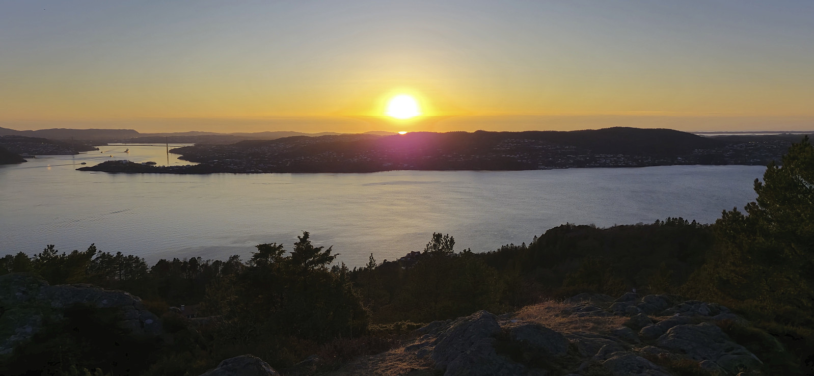
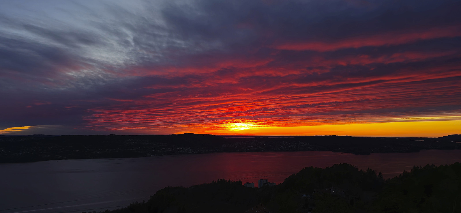 Short local evening hike to catch the sunset at Ørneberget .
Ørneberget and Hellen festning
- Dato:
- 05.03.2024
- Turtype:
- Fjelltur
- Turlengde:
- 0:57t
- Distanse:
- 4,2km
 Short local hike just before sunset.
