Arkiv - dato
Arkiv - aktivitet
-
Annen tur (3)
- Kajakkpadling (3)
- Fottur (1870)
-
Kjøretur (9)
- Biltur (9)
-
Skitur (115)
- Fjellskitur (68)
- Langrennstur (47)
-
Sykkeltur (108)
- Blandet sykling (25)
- Gatesykling (83)
Lister jeg samler etter
-
Utvalgte topper og turmål i Bergen
(346/347)
 99%
99% -
Alle topper i Bergen
(391/398)
98%
-
Voss ≥ 100m pf.
(96/98)
97%
-
Opptur Hordaland
(144/159)
90%
-
Stasjoner på Bergensbanen
(31/40)
77%
-
Ulvik ≥ 100m pf.
(28/38)
73%
-
Hordaland ≥ 100m pf.
(619/863)
71%
-
Mjølfjell PF > 100m
(21/31)
67%
-
Jondal ≥ 100m pf.
(15/23)
65%
-
Dagsturhyttene i Vestland
(36/61)
59%
-
Sunnhordland PF >= 100m
(105/186)
56%
-
Hordaland: Hardanger PF>=100m
(191/359)
53%
-
DNT-hytter i Hordaland
(23/45)
51%
-
Kvinnherad ≥ 100m pf.
(40/79)
50%
-
Sogndal ≥ 100m pf.
(23/81)
28%
-
Gulen ≥ 100m pf.
(14/54)
25%
-
Eidfjord ≥ 100m pf.
(10/42)
23%
-
Vik i Sogn ≥ 100m pf.
(10/46)
21%
-
Sogn - Sør for Sognefjorden PF>=100m
(30/159)
18%
-
DNT-hytter i Sogn og Fjordane
(8/47)
17%

Lierfjellet, Vardafjellet, Dreng and Austvikfjellet
- Dato:
- 01.04.2023
- Turtype:
- Fjelltur
- Turlengde:
- 5:42t
- Distanse:
- 13,8km
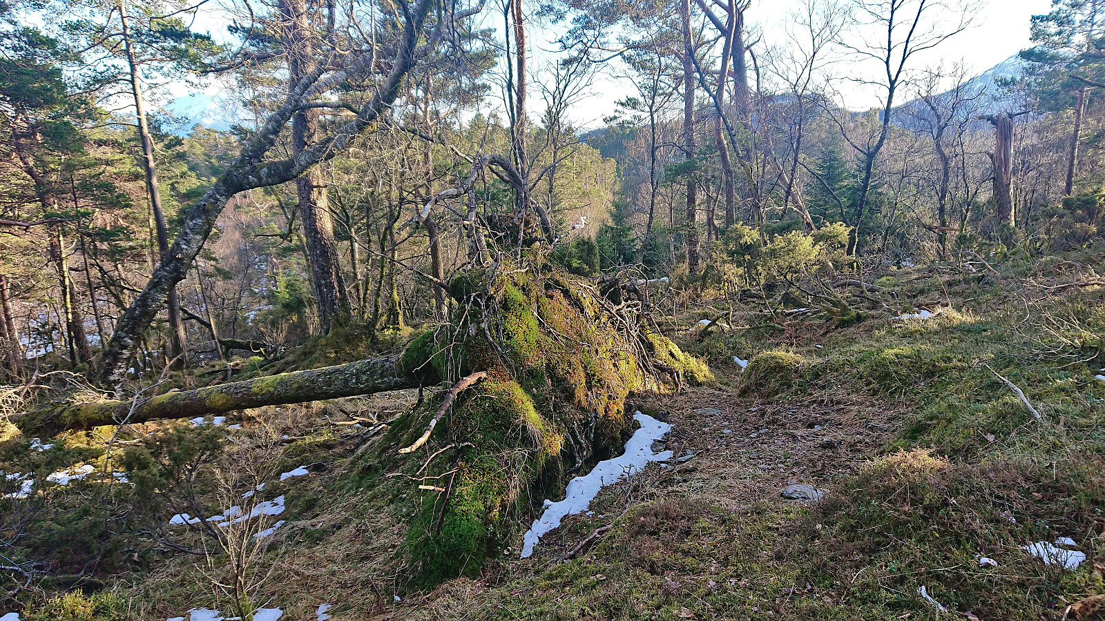
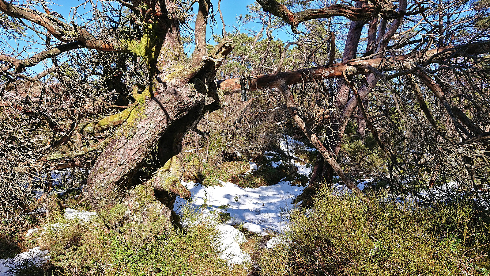
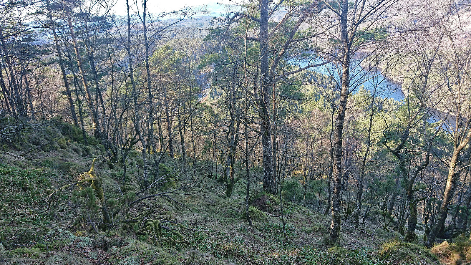 I started by taking the express bus from Bergen to Sveio and got off at Hanaleitet. This put me directly north of my first goal, namely Lierfjellet . After a short walk up the gravel road of Hanalio, I arrived at the trailhead for Lierfjellet. The trailhead itself was unmarked, i.e. no sign, but there were plenty of red painted markers to follow. Lots of wet and muddy sections early on, however this soon improved. (By following this marked trail, one also avoids the borderline trespassing via the two houses at the end of Hanalio that some other hikers seem to have used.)
The red markers were not always the easiest to spot, although this was at least partly due to walking towards the low sun. There were also the occasional patches of ice that had to be navigated, but overall the summit was reached without >>>
I started by taking the express bus from Bergen to Sveio and got off at Hanaleitet. This put me directly north of my first goal, namely Lierfjellet . After a short walk up the gravel road of Hanalio, I arrived at the trailhead for Lierfjellet. The trailhead itself was unmarked, i.e. no sign, but there were plenty of red painted markers to follow. Lots of wet and muddy sections early on, however this soon improved. (By following this marked trail, one also avoids the borderline trespassing via the two houses at the end of Hanalio that some other hikers seem to have used.)
The red markers were not always the easiest to spot, although this was at least partly due to walking towards the low sun. There were also the occasional patches of ice that had to be navigated, but overall the summit was reached without >>>
Across Hellen festning
- Dato:
- 31.03.2023
- Turtype:
- Fottur
- Turlengde:
- 0:35t
- Distanse:
- 3,1km
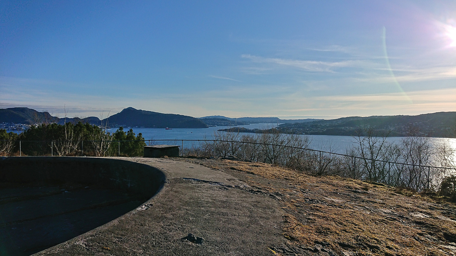 Short local hike after work.
Hellefjellet and Furukammen
- Dato:
- 27.03.2023
- Turtype:
- Fottur
- Turlengde:
- 3:17t
- Distanse:
- 4,4km
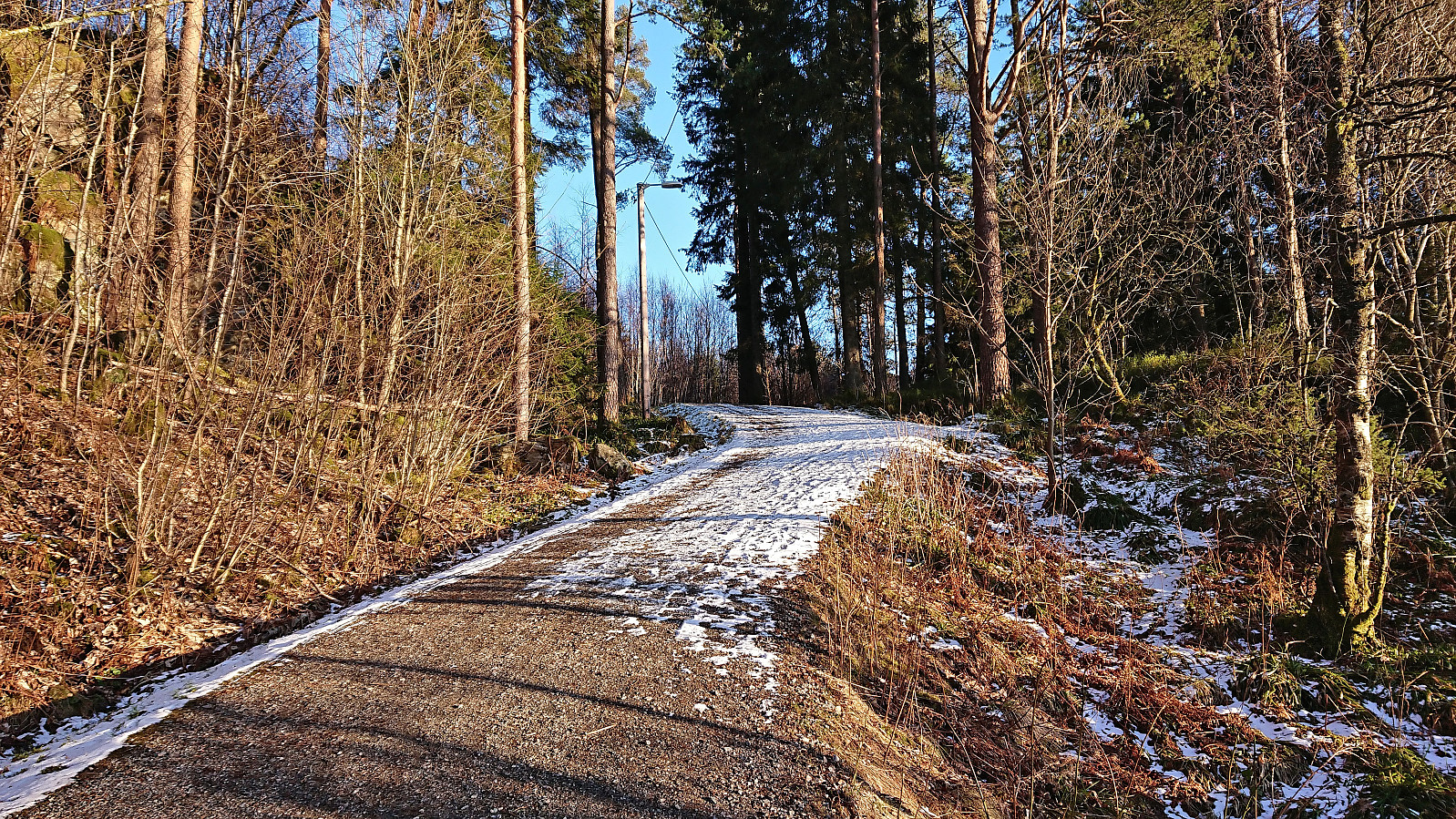 Short local evening hike.
Gamle Bergen
- Dato:
- 19.03.2023
- Turtype:
- Fottur
- Turlengde:
- 2:02t
- Distanse:
- 8,4km
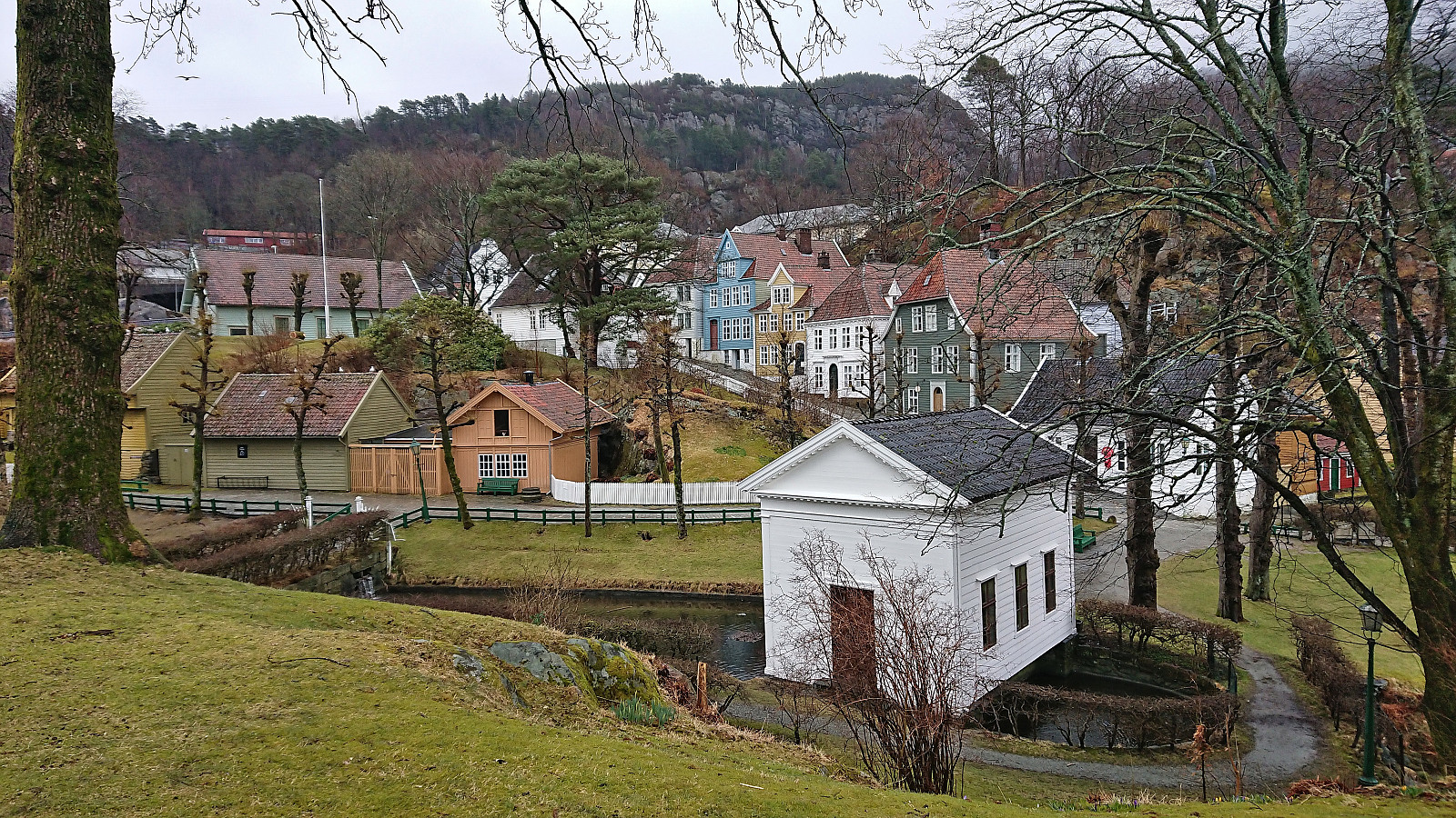 Local walk on a gray and wet Sunday.
Nesbjørghovda from Stussvikhovdatunnelen
- Dato:
- 18.03.2023
- Turtype:
- Fjelltur
- Turlengde:
- 3:10t
- Distanse:
- 8,3km
 After the hike to Stussvikhovda and Aldalsnuten , we drove the short distance to the crossroads just east of the start of Stussvikhovdatunnelen. Here we found parking at what Skyss refers to as Stussvikhovda snuplass and after a short walk north along the main road we were ready to start the ascent to Nesbjørghovda (which is incorrectly named Nesbjørhovda on PB).
While most hikers seem to start their trip to Nesbjørghovda from Teiga southwest of the summit, and do not speak to highly of the route, I had come across a promising external trip report (scroll down until you find Nesbjørghovda) talking about a marked trail from the main road to the south. This would allow us to follow tractor roads for the first 2.5 km (blocked with a chain across the road early on), leaving only around 1 km on a marked trail to the summit.
The first part was straightforward and we soon arrived >>>
After the hike to Stussvikhovda and Aldalsnuten , we drove the short distance to the crossroads just east of the start of Stussvikhovdatunnelen. Here we found parking at what Skyss refers to as Stussvikhovda snuplass and after a short walk north along the main road we were ready to start the ascent to Nesbjørghovda (which is incorrectly named Nesbjørhovda on PB).
While most hikers seem to start their trip to Nesbjørghovda from Teiga southwest of the summit, and do not speak to highly of the route, I had come across a promising external trip report (scroll down until you find Nesbjørghovda) talking about a marked trail from the main road to the south. This would allow us to follow tractor roads for the first 2.5 km (blocked with a chain across the road early on), leaving only around 1 km on a marked trail to the summit.
The first part was straightforward and we soon arrived >>>
Stussvikhovda and Aldalsnuten
- Dato:
- 18.03.2023
- Turtype:
- Fjelltur
- Turlengde:
- 2:40t
- Distanse:
- 5,5km
 When initial plans to go skiing in Bergsdalen were cancelled due to increased avalanche risk and overall uncertainty about the snow conditions, we decided to instead take the ferry to Tysnes to hike at the Kvinnherad/Bjørnafjorden side of Lukksundet. First up was Stussvikhovda and Aldalsnuten . We left the car at the small parking lot at the marked trailhead at Stussvik and from there followed the marked trail all the way to the excellent viewpoint at Stussvikhovda .
After a short break we continued north along a weaker, but at least partially marked, trail to the slightly higher Aldalsnuten. We first ascended the northern of the two hills with almost the same height, while I took a short detour on my own to the southern hill on the return. The southern hill had several contenders for the highest point, so to be safe I simply visited all of them. Excellent >>>
When initial plans to go skiing in Bergsdalen were cancelled due to increased avalanche risk and overall uncertainty about the snow conditions, we decided to instead take the ferry to Tysnes to hike at the Kvinnherad/Bjørnafjorden side of Lukksundet. First up was Stussvikhovda and Aldalsnuten . We left the car at the small parking lot at the marked trailhead at Stussvik and from there followed the marked trail all the way to the excellent viewpoint at Stussvikhovda .
After a short break we continued north along a weaker, but at least partially marked, trail to the slightly higher Aldalsnuten. We first ascended the northern of the two hills with almost the same height, while I took a short detour on my own to the southern hill on the return. The southern hill had several contenders for the highest point, so to be safe I simply visited all of them. Excellent >>>
Dolvikhaugene and Knappen
- Dato:
- 11.03.2023
- Turtype:
- Fjelltur
- Turlengde:
- 1:43t
- Distanse:
- 5,8km
 A short hike with the main goal of visiting Storåsen på Søreide at Dolvikhaugene, easily reached by passing through a small playground just south of the summit. Given that I was in the area I decided to also revisit Knappen including my first visits of both St. Hanshaugen and Knappen søyle . The hike was then concluded by a quick run to Sandeide terminal in order catch the bus back to the city center.
Ørneberget and Hellen festning
- Dato:
- 09.03.2023
- Turtype:
- Fjelltur
- Turlengde:
- 1:16t
- Distanse:
- 4,8km
 Short local hike just before sunset.
Fjellveien and Skansen søyle
- Dato:
- 04.03.2023
- Turtype:
- Fottur
- Turlengde:
- 3:10t
- Distanse:
- 13,1km
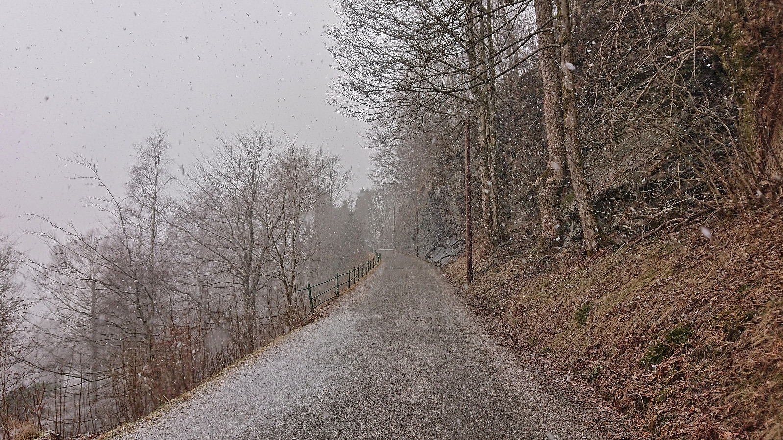 Local hike with the main objective of visiting the trig marker at Skansen . During the hike the weather varried between sunny and snow showers.
Bergenhus søyle
- Dato:
- 01.03.2023
- Turtype:
- Spasertur
- Turlengde:
- 0:34t
- Distanse:
- 2,8km
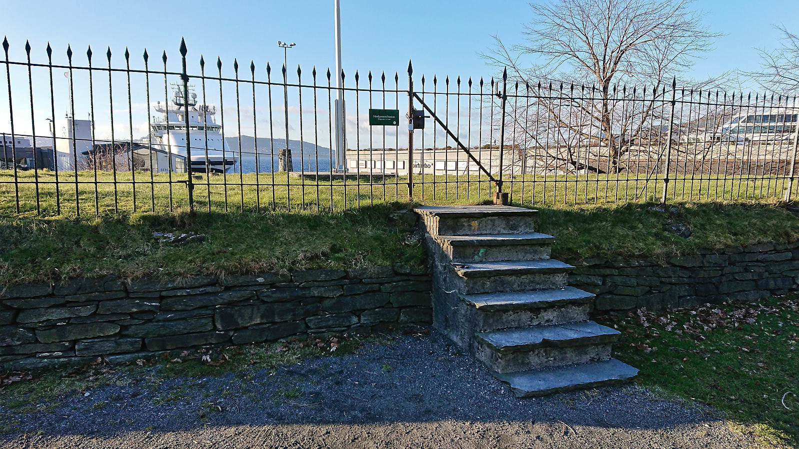 Short detour on the way home from work to pass by the trig marker at Bergenhus festning.
