Arkiv - dato
Arkiv - aktivitet
-
Annen tur (3)
- Kajakkpadling (3)
- Fottur (1870)
-
Kjøretur (9)
- Biltur (9)
-
Skitur (115)
- Fjellskitur (68)
- Langrennstur (47)
-
Sykkeltur (108)
- Blandet sykling (25)
- Gatesykling (83)
Lister jeg samler etter
-
Utvalgte topper og turmål i Bergen
(346/347)
 99%
99% -
Alle topper i Bergen
(391/398)
98%
-
Voss ≥ 100m pf.
(96/98)
97%
-
Opptur Hordaland
(144/159)
90%
-
Stasjoner på Bergensbanen
(31/40)
77%
-
Ulvik ≥ 100m pf.
(28/38)
73%
-
Hordaland ≥ 100m pf.
(619/863)
71%
-
Mjølfjell PF > 100m
(21/31)
67%
-
Jondal ≥ 100m pf.
(15/23)
65%
-
Dagsturhyttene i Vestland
(36/61)
59%
-
Sunnhordland PF >= 100m
(105/186)
56%
-
Hordaland: Hardanger PF>=100m
(191/359)
53%
-
DNT-hytter i Hordaland
(23/45)
51%
-
Kvinnherad ≥ 100m pf.
(40/79)
50%
-
Sogndal ≥ 100m pf.
(23/81)
28%
-
Gulen ≥ 100m pf.
(14/54)
25%
-
Eidfjord ≥ 100m pf.
(10/42)
23%
-
Vik i Sogn ≥ 100m pf.
(10/46)
21%
-
Sogn - Sør for Sognefjorden PF>=100m
(30/159)
18%
-
DNT-hytter i Sogn og Fjordane
(8/47)
17%

Across Hellen festning
- Dato:
- 25.07.2023
- Turtype:
- Fottur
- Turlengde:
- 0:39t
- Distanse:
- 3,2km
 Short local hike in light rain.
Across Hellen festning
- Dato:
- 24.07.2023
- Turtype:
- Fottur
- Turlengde:
- 0:38t
- Distanse:
- 3,2km
 Short local evening hike.
Saurås søyle
- Dato:
- 23.07.2023
- Turtype:
- Spasertur
- Turlengde:
- 0:26t
- Distanse:
- 1,5km
 Still very low on energy after two nights of little sleep due to a cold. More ambitious hiking plans were therefore replaced by a quick visit of Saurås søyle . Or at least that was the plan, but just as I got close to the trig marker it suddenly started pouring down and I had to run to find shelter. After waiting for several minutes, I gave up and returned to the bus stop at Åsamyrane. But at least I got close enough to take a picture of the trig marker.
Across Hellen festning
- Dato:
- 22.07.2023
- Turtype:
- Fottur
- Turlengde:
- 0:38t
- Distanse:
- 3,2km
 Only a short local hike today after a night of little sleep due to a sore throat.
Stemmedalshaugane from Fjelltveit
- Dato:
- 21.07.2023
- Turtype:
- Fjelltur
- Turlengde:
- 2:15t
- Distanse:
- 7,0km
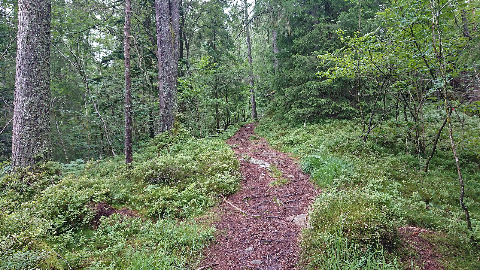
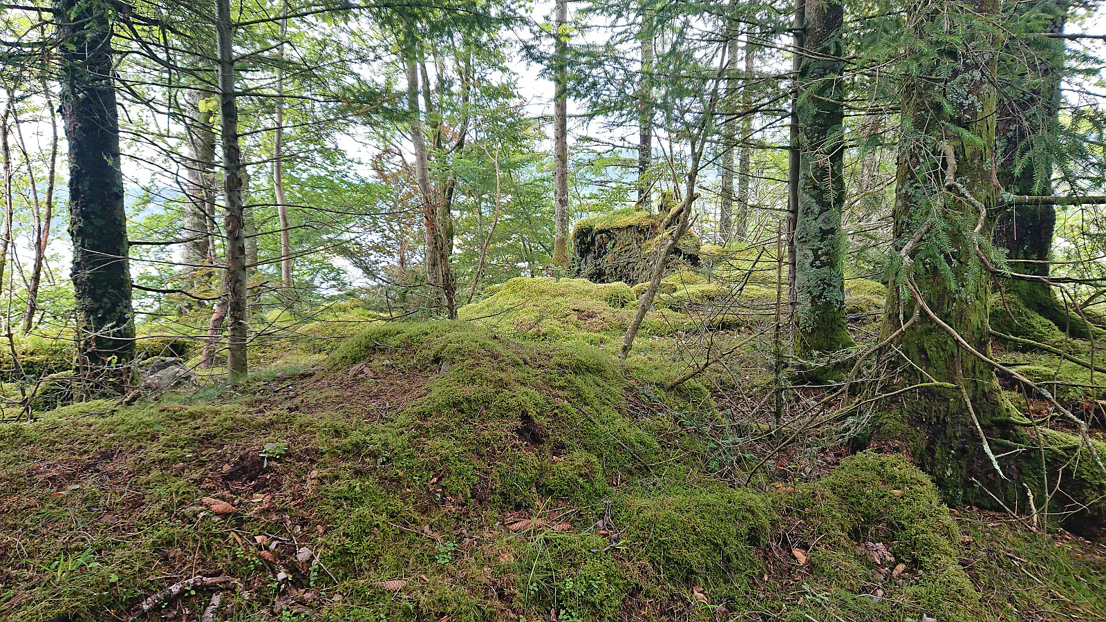
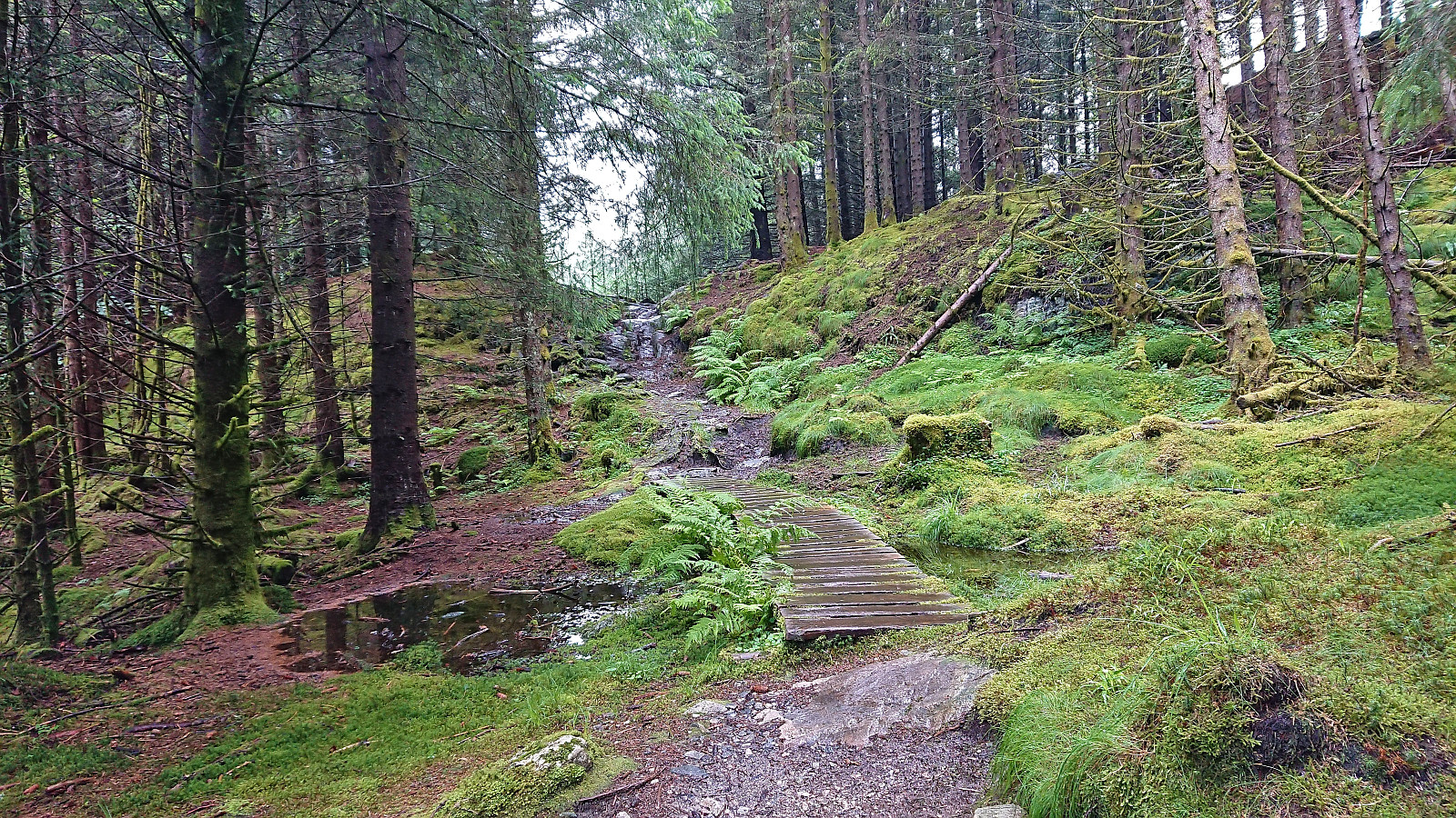
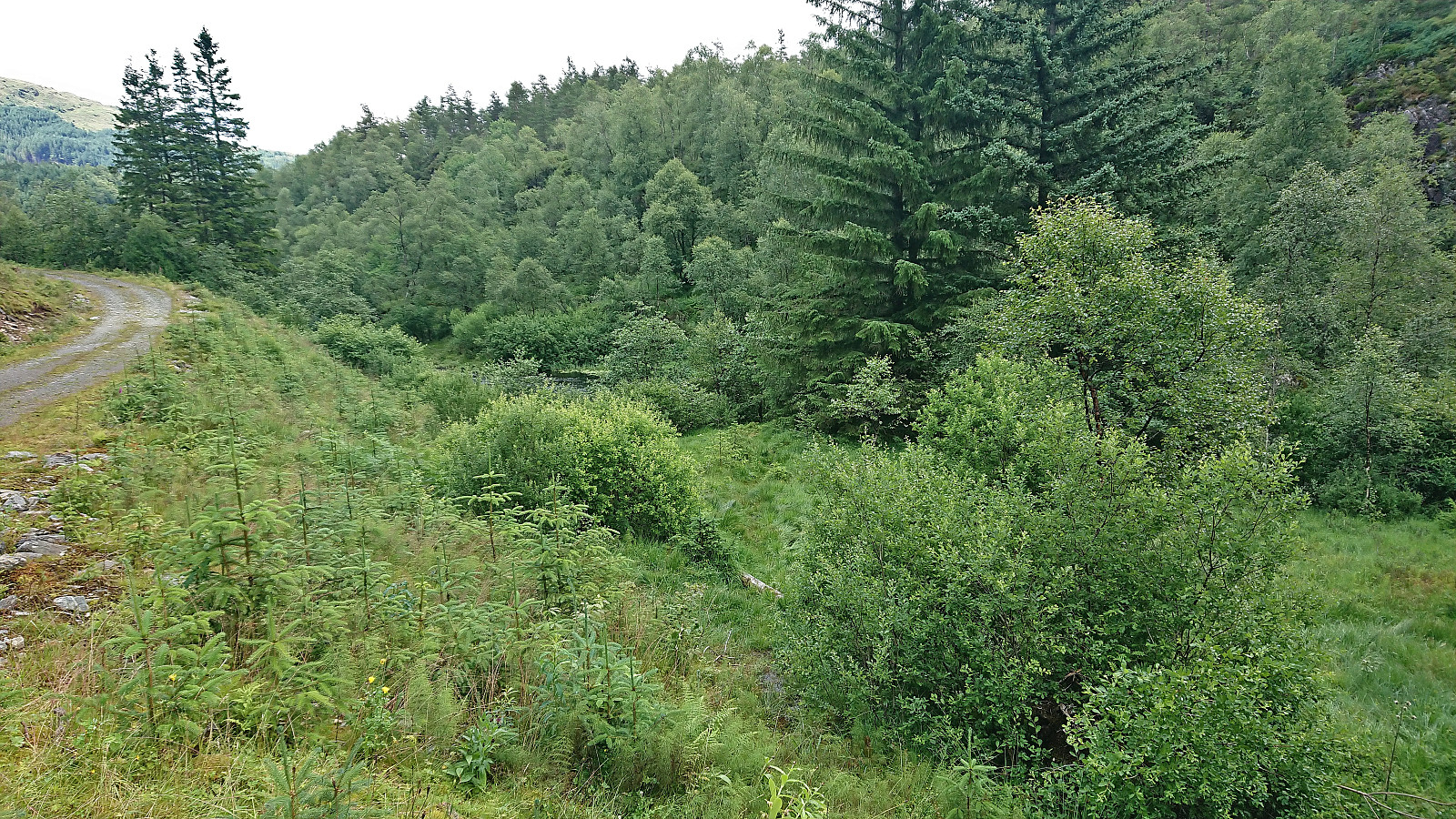 I took the bus to Fjelltveit in Hauglandsdalen and from there followed a relatively new gravel road up towards Stemmedalshaugane , making sure to include a stop at the excellent views at Smogakampen . Before getting to Frotveitvatnet, I left the gravel road and crossed Frotveitelva via a wooden bridge and continued east along a weak and wet trail to the highest point at Stemmedalshaugane. I had originally considered doing a roundtrip similar to Kjell51 (Kjell Øijorden) (see his trip report here ), but given the wet conditions I instead returned the same way. Interestingly, at the summit I noticed the first red trail markers, red paint on the tree trunks, and for the descent I was actually able to follow these more or less all the way to the bridge.
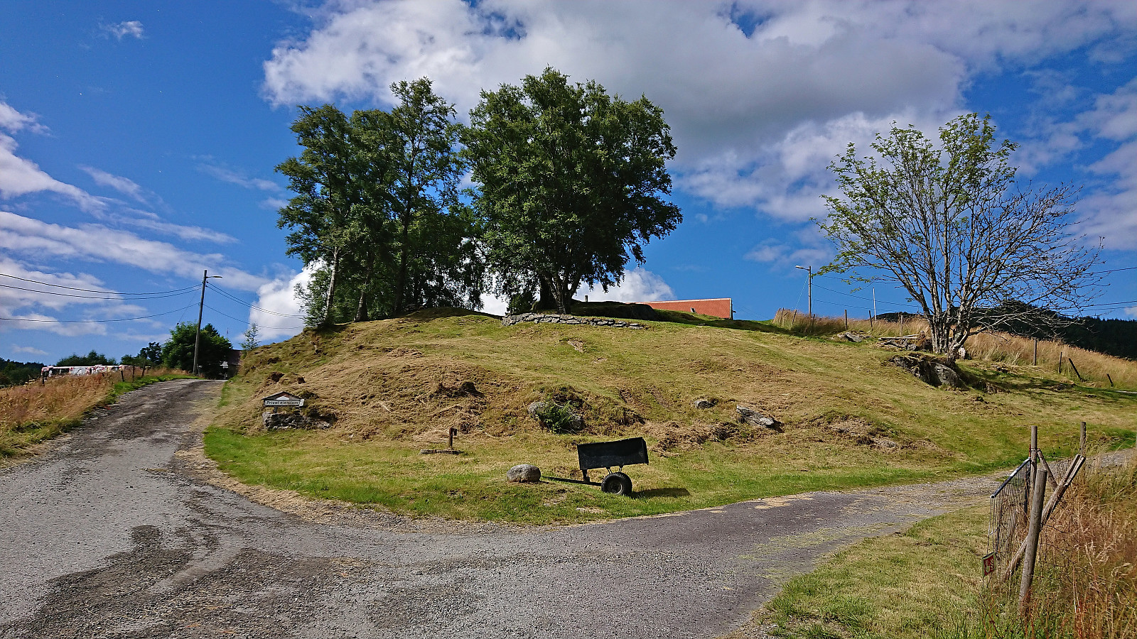
Litla Langafjellet søyle
- Dato:
- 20.07.2023
- Turtype:
- Fottur
- Turlengde:
- 0:58t
- Distanse:
- 4,1km
 On my way home from the trip to Marietoppen I made a short stop in Fjøsanger for a visit of Litla Langafjellet søyle . It could be easily reached via a trail crossing over the small hill. Afterwards I continued northeast to Kristianborg before taking Bybanen to the Bergen city center.
Marietoppen
- Dato:
- 20.07.2023
- Turtype:
- Fottur
- Turlengde:
- 1:08t
- Distanse:
- 4,0km
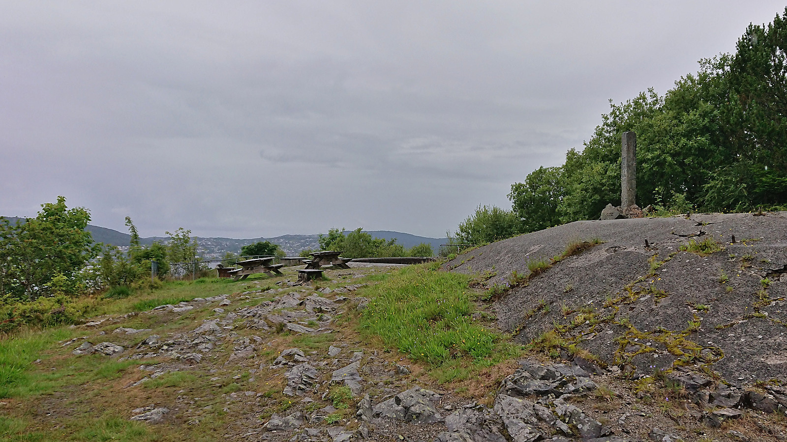
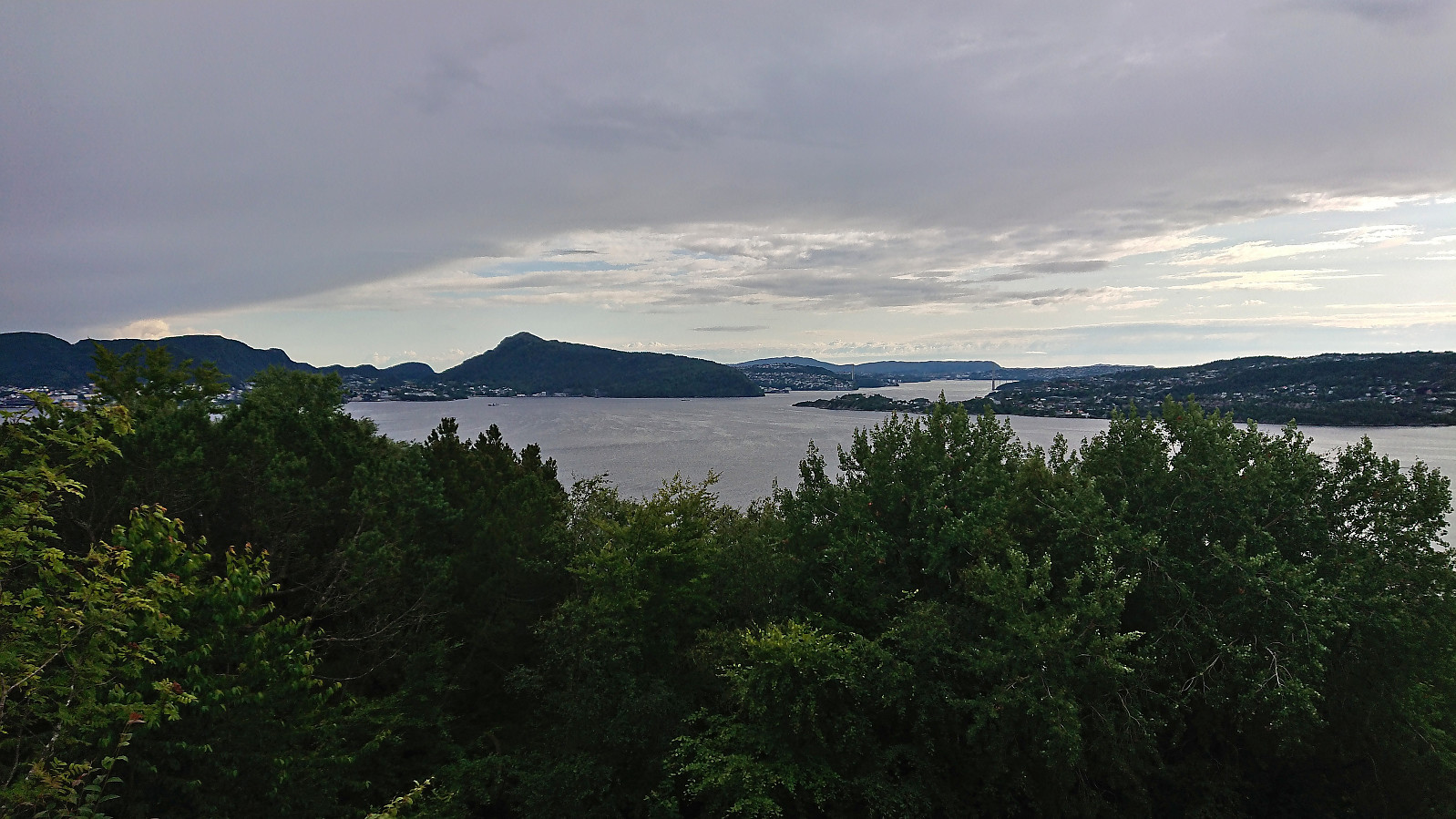
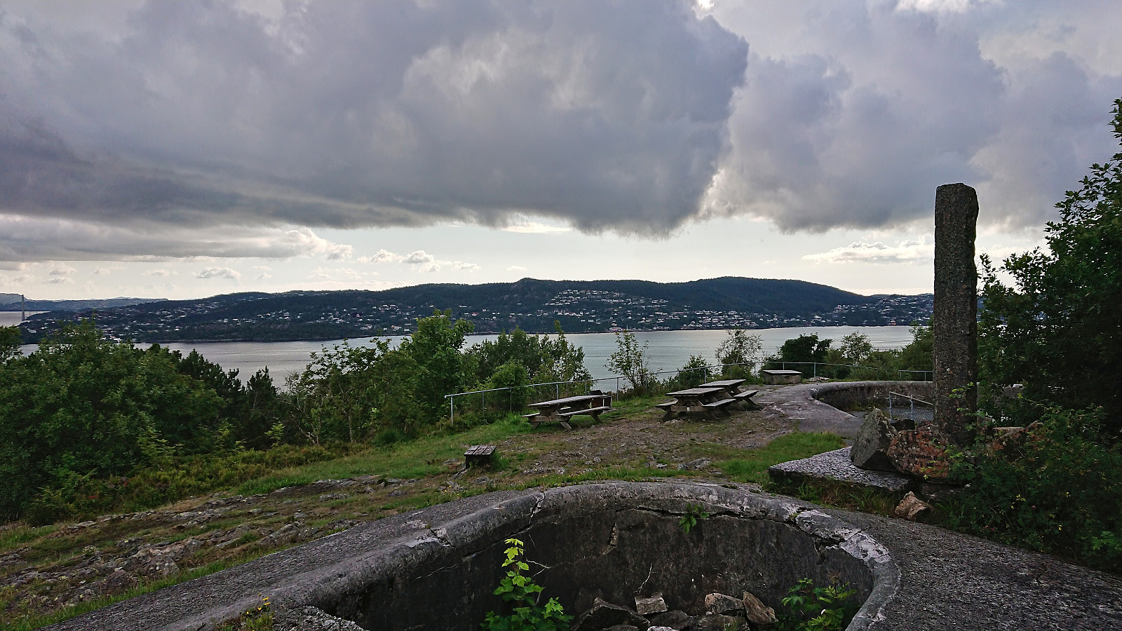
 Short hike in Fana with the main objective of visiting Marietoppen . Limited views from the summit but lots of traces from World War II . The summit area could be reached from the south without any trespassing. After descending the same way I continued north along Fanafjorden.
Smøråsfjellet
- Dato:
- 17.07.2023
- Turtype:
- Fjelltur
- Turlengde:
- 2:34t
- Distanse:
- 9,1km
 A return to Smøråsfjellet to visit Bjørnevasskletten . When in the area I also passed by Storhaugen, Litlafjellet and Revhaugen, in addition to a revisit of Hamrefjellet , just in case any of these will be added as their own PB-elements in the future. Missed the bus at Valle by a couple of minutes and ended up walking to the Bybane stop at Skjoldskiftet.
Hellemyrstien
- Dato:
- 16.07.2023
- Turtype:
- Fottur
- Turlengde:
- 1:53t
- Distanse:
- 4,8km
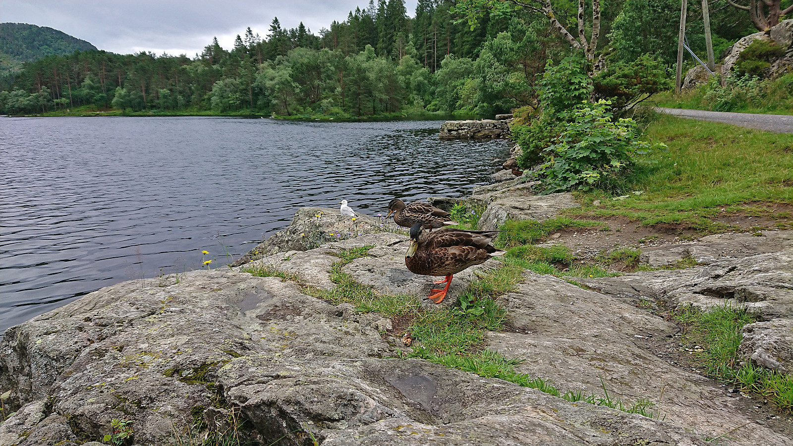 Short local hike with my oldest nephew on a gray Sunday which included a stop at Langevatnet to feed the ducks.
Furukammen and Helleveien
- Dato:
- 15.07.2023
- Turtype:
- Fottur
- Turlengde:
- 1:26t
- Distanse:
- 5,3km
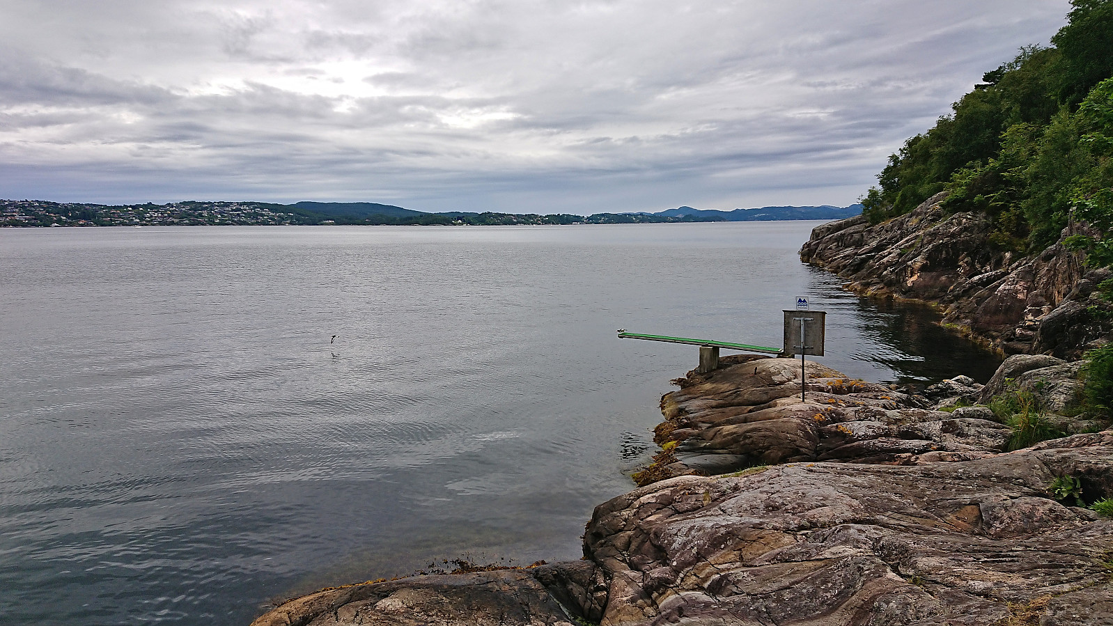 Short local hike before the afternoon rain showers began.
