Arkiv - dato
Arkiv - aktivitet
-
Annen tur (3)
- Kajakkpadling (3)
- Fottur (1769)
-
Kjøretur (9)
- Biltur (9)
-
Skitur (109)
- Fjellskitur (65)
- Langrennstur (44)
-
Sykkeltur (108)
- Blandet sykling (25)
- Gatesykling (83)
Lister jeg samler etter
-
Voss ≥ 100m pf.
(96/98)
 97%
97% -
Opptur Hordaland
(143/159)
89%
-
Stasjoner på Bergensbanen
(31/40)
77%
-
Ulvik ≥ 100m pf.
(28/38)
73%
-
Hordaland ≥ 100m pf.
(610/863)
70%
-
Mjølfjell PF > 100m
(21/31)
67%
-
Jondal ≥ 100m pf.
(15/23)
65%
-
Sunnhordland PF >= 100m
(104/186)
55%
-
Dagsturhyttene i Vestland
(33/61)
54%
-
Hordaland: Hardanger PF>=100m
(183/359)
50%
-
Kvinnherad ≥ 100m pf.
(40/79)
50%
-
DNT-hytter i Hordaland
(22/45)
48%
-
Sogndal ≥ 100m pf.
(23/81)
28%
-
Vik i Sogn ≥ 100m pf.
(8/46)
17%
-
DNT-hytter i Sogn og Fjordane
(8/47)
17%
-
Eidfjord ≥ 100m pf.
(6/42)
14%
-
Etne ≥ 100m pf.
(7/51)
13%
-
Ullensvang ≥ 100m pf.
(19/153)
12%
-
Sogn - Sør for Sognefjorden PF>=100m
(17/159)
10%
-
Opptur-topper i Sogn og Fjordane
(17/177)
9%

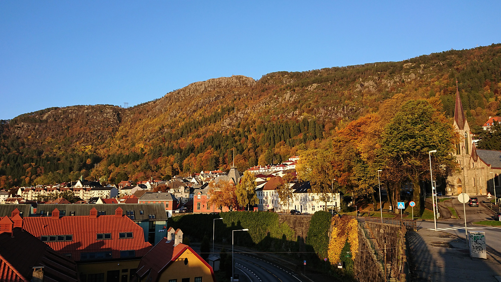
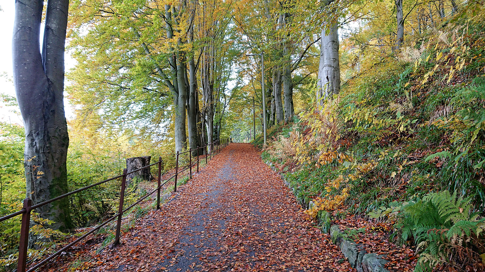
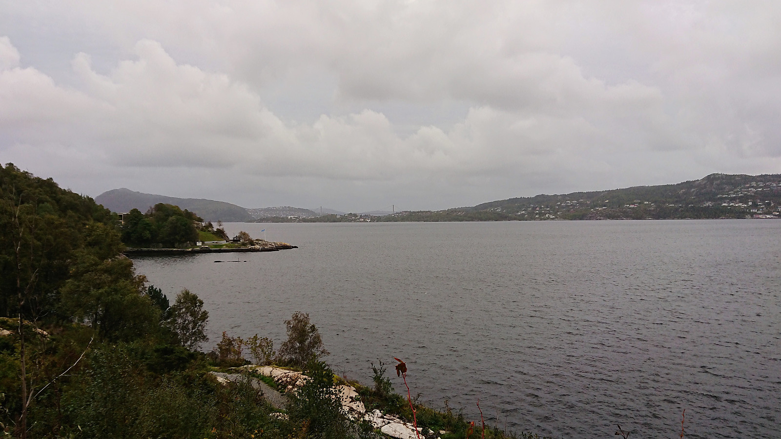
Fjellveien, Gamle Bergen and Hellen festning
- Dato:
- 18.10.2018
- Turtype:
- Fottur
- Turlengde:
- 1:39t
- Distanse:
- 9,2km
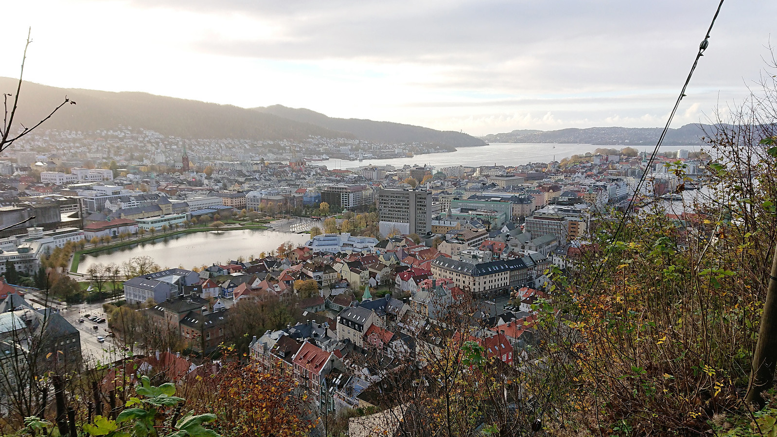 Short hike after work from Bradbenken via Fjellveien and Gamle Bergen.
Fagerneset and Hellen festning
- Dato:
- 14.10.2018
- Turtype:
- Fottur
- Turlengde:
- 0:54t
- Distanse:
- 5,2km
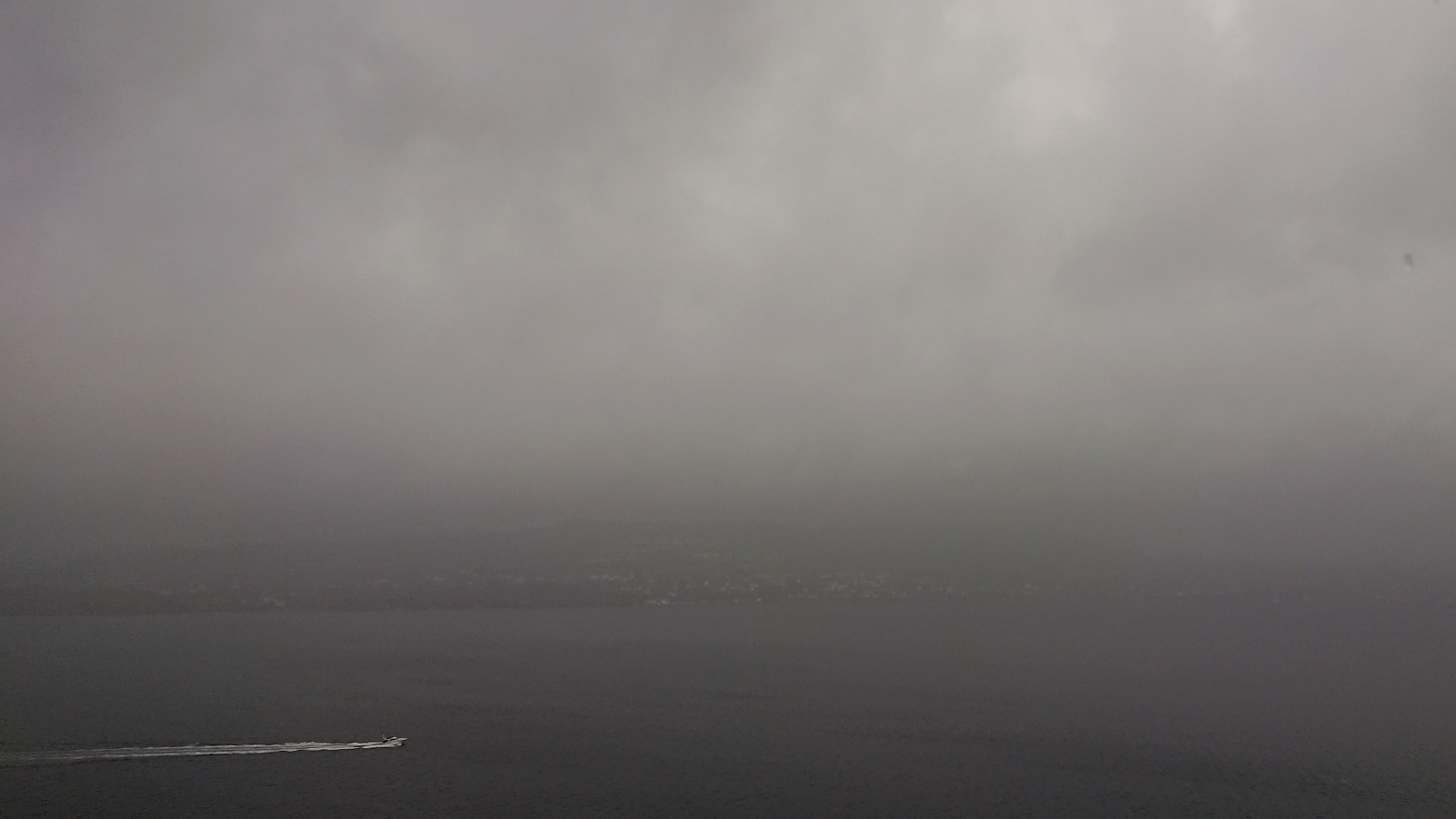 Short local hike in slightly less heavy rain than yesterday but now with stronger winds instead.
Fjellveien and Furukammen
- Dato:
- 13.10.2018
- Turtype:
- Fottur
- Turlengde:
- 1:09t
- Distanse:
- 6,3km
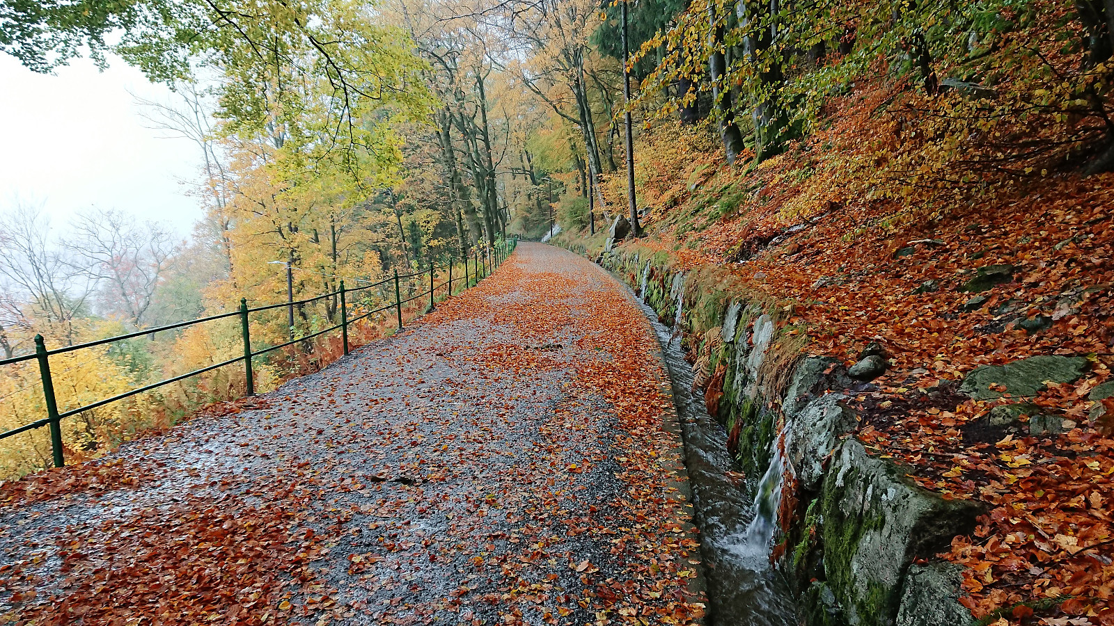 Short local hike in constant heavy rain.
Høgafjellet from Osvatnet
- Dato:
- 11.10.2018
- Turtype:
- Fjelltur
- Turlengde:
- 7:30t
- Distanse:
- 16,9km
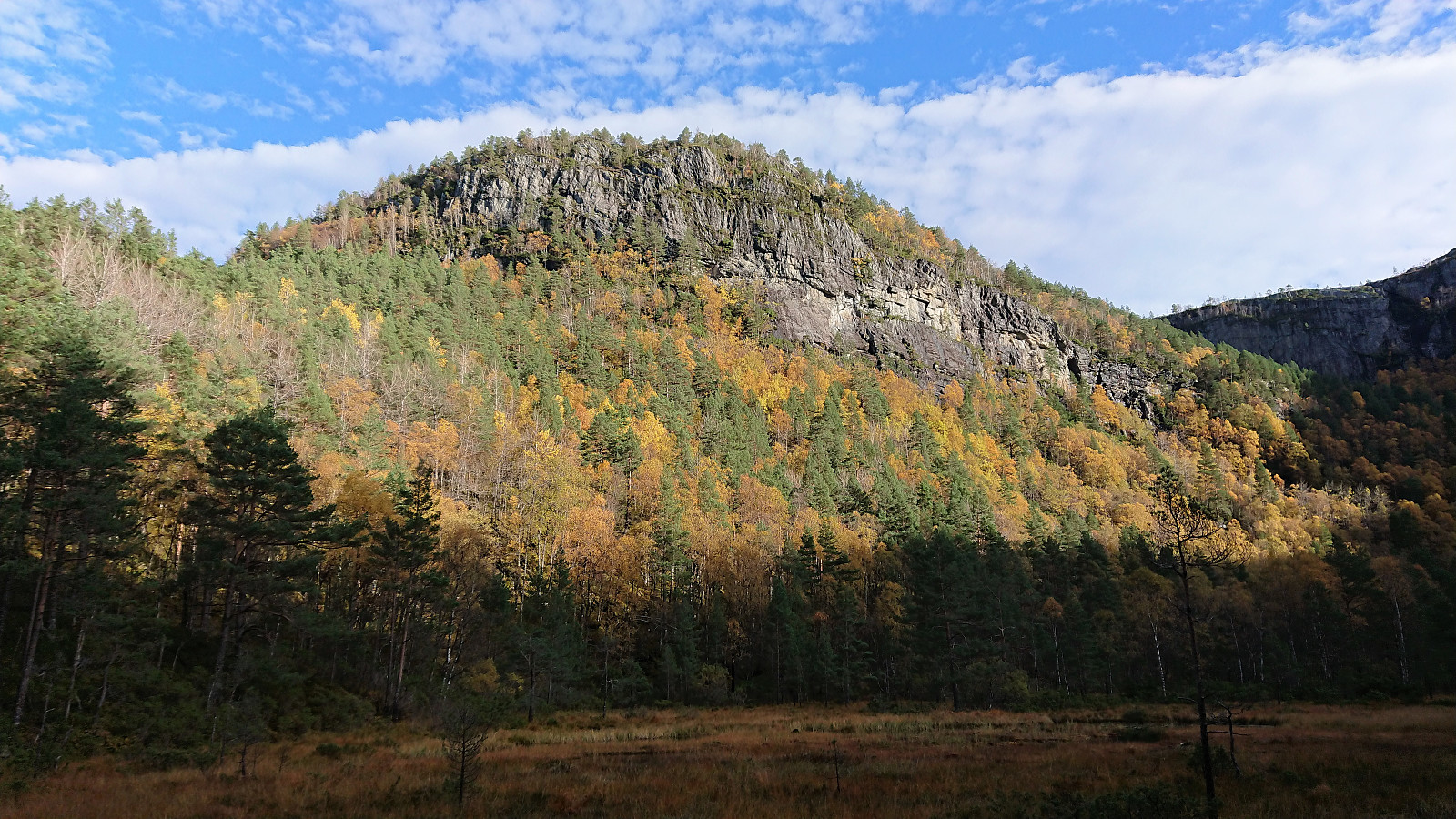 On what would turn out as the warmest October day in Bergen history, me and a colleague of mine started out early in the direction of Osterøy and Høgafjellet . The parking lot at Osvatnet was easily located and so was the marked trailhead starting with a steep staircase directly behind the parking lot. Next, the trail crossed under the pipe, and the old steep discontinued stairs, coming down from Nedre Botnavatnet.
Shortly after, a second steep staircase headed up to the right, while the marked trail continued toward Kupelva. We decided to follow the red plastic markers, assuming these indicated the recommended route. This however turned out to be a mistake, and after almost reaching the river we ended up turning back and returning to the stairs. Apparently we were not the first hikers to make this mistake ( https://peakbook.org/tour/192269/Kvamsfjellet+Osterøy.html ), so perhaps a sign >>>
On what would turn out as the warmest October day in Bergen history, me and a colleague of mine started out early in the direction of Osterøy and Høgafjellet . The parking lot at Osvatnet was easily located and so was the marked trailhead starting with a steep staircase directly behind the parking lot. Next, the trail crossed under the pipe, and the old steep discontinued stairs, coming down from Nedre Botnavatnet.
Shortly after, a second steep staircase headed up to the right, while the marked trail continued toward Kupelva. We decided to follow the red plastic markers, assuming these indicated the recommended route. This however turned out to be a mistake, and after almost reaching the river we ended up turning back and returning to the stairs. Apparently we were not the first hikers to make this mistake ( https://peakbook.org/tour/192269/Kvamsfjellet+Osterøy.html ), so perhaps a sign >>>
Haukeland sykehus to Sandvikstorget
- Dato:
- 10.10.2018
- Turtype:
- Spasertur
- Turlengde:
- 0:57t
- Distanse:
- 5,4km
 Nice afternoon weather for once, so I decided to walk home from work. Or at least in that direction. Making it to Sandvikstorget before taking the bus the rest of the way.
Fjellveien, Sandviksbatteriet and Ørneberget
- Dato:
- 07.10.2018
- Turtype:
- Fjelltur
- Turlengde:
- 1:45t
- Distanse:
- 7,8km
 Local hike starting from Skuteviken and from there walking to Lønborg via Fjellveien, Sandviksbatteriet and Ørneberget.
Ravnefjellet and Løvstakken
- Dato:
- 06.10.2018
- Turtype:
- Fjelltur
- Turlengde:
- 2:34t
- Distanse:
- 9,0km
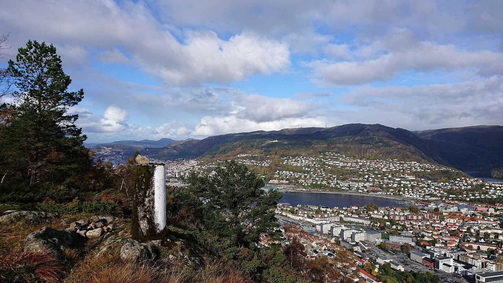 Started out as a pretty traditional hike up to Løvstakken from Melkeplassen via Ravnefjellet , but ended with a more unusual descent in order to include a visit of the trig marker on the way down to Solheim .
From the summit of Løvstakken the trail quality was relatively good, but this dropped significantly when the trail turned north and split off from the main trail that continued south and later east. Shortly after this I also lost the trail and instead headed straight for the trig marker.
On the ridge just to the west of the trig marker I however came across a weak trail that took me almost all the way to the trig marker itself, which provided nice views, but due to the low-quality trails this will probably be my only visit.
For the final descent I turned north along the trail across the ridge, which soon connected with a bigger, but rather wet, trail, >>>
Started out as a pretty traditional hike up to Løvstakken from Melkeplassen via Ravnefjellet , but ended with a more unusual descent in order to include a visit of the trig marker on the way down to Solheim .
From the summit of Løvstakken the trail quality was relatively good, but this dropped significantly when the trail turned north and split off from the main trail that continued south and later east. Shortly after this I also lost the trail and instead headed straight for the trig marker.
On the ridge just to the west of the trig marker I however came across a weak trail that took me almost all the way to the trig marker itself, which provided nice views, but due to the low-quality trails this will probably be my only visit.
For the final descent I turned north along the trail across the ridge, which soon connected with a bigger, but rather wet, trail, >>>
Fusafjellet and Bogafjellet
- Dato:
- 03.10.2018
- Turtype:
- Fjelltur
- Turlengde:
- 3:35t
- Distanse:
- 12,1km
 When a two-day meeting at Solstrand ended just after lunch, I used the opportunity for a hike in the Fusa region. Started by taking the bus (and ferry) across Fusafjorden and the bus stop called Prestegardsmarka. Here the map indicated the start of a rather steep trail towards the summit of Fusafjellet , and from the bus stop the ascent indeed looked very steep.
After locating the unmarked trailhead I soon came across the first sign for Lusabrekko. A second smaller sign soon followed, and from there on the trail was marked with red paint. While the trail could be fairly easily followed, it quickly turned very steep, so much that it would have been very difficult, if not impossible, to ascend without the markers.
The trail gradually got less steep after the first kilometer and from there on it was straightforward >>>
When a two-day meeting at Solstrand ended just after lunch, I used the opportunity for a hike in the Fusa region. Started by taking the bus (and ferry) across Fusafjorden and the bus stop called Prestegardsmarka. Here the map indicated the start of a rather steep trail towards the summit of Fusafjellet , and from the bus stop the ascent indeed looked very steep.
After locating the unmarked trailhead I soon came across the first sign for Lusabrekko. A second smaller sign soon followed, and from there on the trail was marked with red paint. While the trail could be fairly easily followed, it quickly turned very steep, so much that it would have been very difficult, if not impossible, to ascend without the markers.
The trail gradually got less steep after the first kilometer and from there on it was straightforward >>>
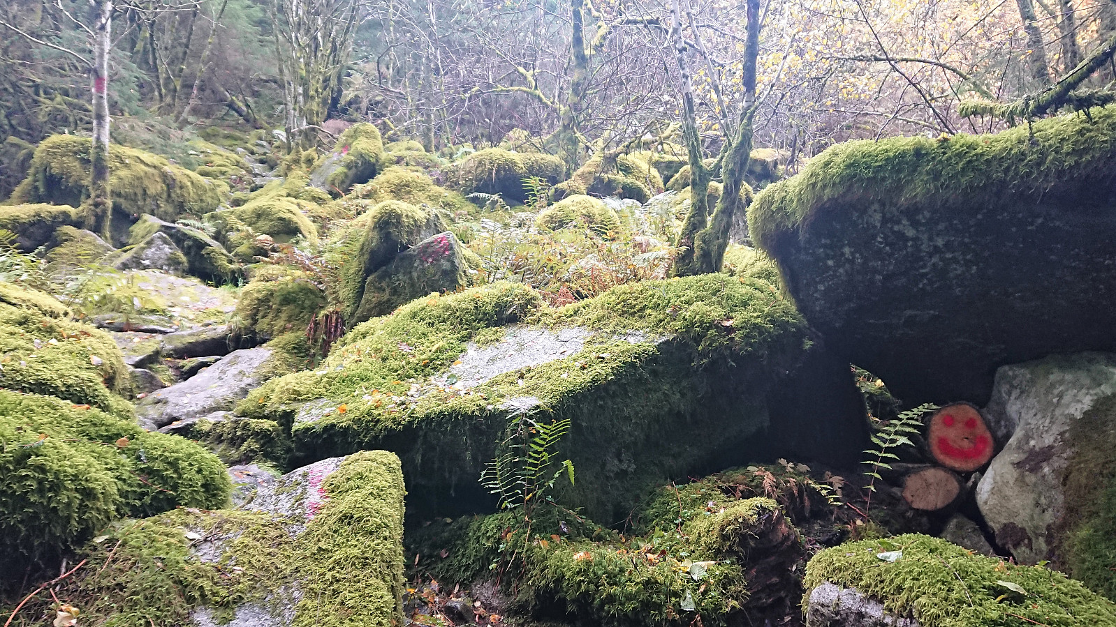
Nunnåsfjellet and Kråkenipa (almost...)
- Dato:
- 28.09.2018
- Turtype:
- Fjelltur
- Turlengde:
- 2:58t
- Distanse:
- 10,7km
 Nunnåsfjellet
Weather forecast said rain for the whole weekend, except Friday afternoon. Hence I left work earlier than usual and headed for Lonevåg by bus. From Lonevåg I followed the road east until easily locating the marked trailhead for Nunnåsfjellet at Hatland.
The trail was easy to follow, although rather wet until it started climbing. Each fork was also clearly marked, and I was already considering alternative routes for my decent. I arrived at the antenna at Nunnåsfjellet without any problems, and was rewarded by excellent views toward Lonevåg and beyond.
Next, I made two attempts at fighting my way through the dense vegetation to the trig marker at Nunnåsfjellet. Before losing my motivation and instead continuing in the direction of the main goal of the day: Kråkenipa .
Kråkenipa
The first part was easy >>>
Nunnåsfjellet
Weather forecast said rain for the whole weekend, except Friday afternoon. Hence I left work earlier than usual and headed for Lonevåg by bus. From Lonevåg I followed the road east until easily locating the marked trailhead for Nunnåsfjellet at Hatland.
The trail was easy to follow, although rather wet until it started climbing. Each fork was also clearly marked, and I was already considering alternative routes for my decent. I arrived at the antenna at Nunnåsfjellet without any problems, and was rewarded by excellent views toward Lonevåg and beyond.
Next, I made two attempts at fighting my way through the dense vegetation to the trig marker at Nunnåsfjellet. Before losing my motivation and instead continuing in the direction of the main goal of the day: Kråkenipa .
Kråkenipa
The first part was easy >>>
Across Hellen festning
- Dato:
- 26.09.2018
- Turtype:
- Fottur
- Turlengde:
- 0:42t
- Distanse:
- 4,0km
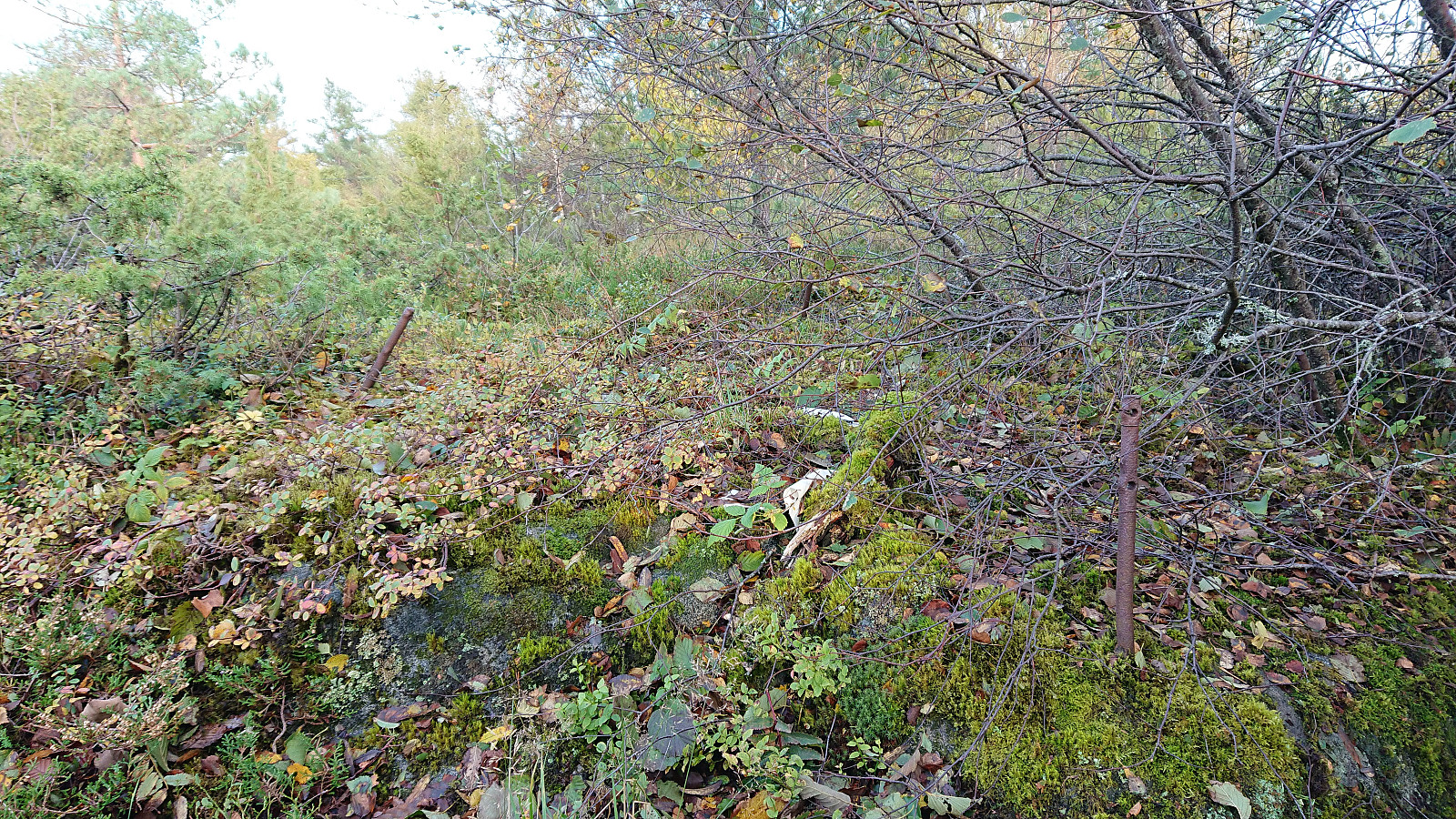
 Short local hike across Hellen festning after work.
