Arkiv - dato
Arkiv - aktivitet
-
Annen tur (3)
- Kajakkpadling (3)
- Fottur (1888)
-
Kjøretur (9)
- Biltur (9)
-
Skitur (116)
- Fjellskitur (69)
- Langrennstur (47)
-
Sykkeltur (110)
- Blandet sykling (25)
- Gatesykling (85)
Lister jeg samler etter
-
Utvalgte topper og turmål i Bergen
(348/349)
 99%
99% -
Alle topper i Bergen
(393/398)
98%
-
Voss ≥ 100m pf.
(96/98)
97%
-
Opptur Hordaland
(144/159)
90%
-
Stasjoner på Bergensbanen
(33/40)
82%
-
Ulvik ≥ 100m pf.
(28/38)
73%
-
Hordaland ≥ 100m pf.
(622/863)
72%
-
Mjølfjell PF > 100m
(21/31)
67%
-
Jondal ≥ 100m pf.
(15/23)
65%
-
Dagsturhyttene i Vestland
(36/61)
59%
-
Sunnhordland PF >= 100m
(105/186)
56%
-
Hordaland: Hardanger PF>=100m
(194/359)
54%
-
DNT-hytter i Hordaland
(23/45)
51%
-
Kvinnherad ≥ 100m pf.
(40/79)
50%
-
Eidfjord ≥ 100m pf.
(13/42)
30%
-
Sogndal ≥ 100m pf.
(23/81)
28%
-
Gulen ≥ 100m pf.
(15/54)
27%
-
Vik i Sogn ≥ 100m pf.
(10/46)
21%
-
Sogn - Sør for Sognefjorden PF>=100m
(31/159)
19%
-
DNT-hytter i Sogn og Fjordane
(8/47)
17%


Godvikaskjenet and Storhaugen
- Dato:
- 25.05.2026
- Turtype:
- Fjelltur
- Turlengde:
- 0:56t
- Distanse:
- 4,0km
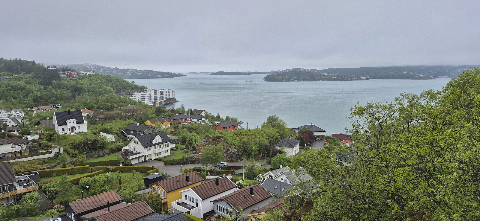 Two small hills on the Alle topper i Bergen list that I had put off visiting due to both basically being inside someone's backyard. Godvikaskjenet however turned out to be a positive surprise as the dense undergrowth I had expected to power through had been replaced by a gravel road! Hence there was only a very short off-trail section required before connecting with the weak trail along the ridge. This summit was therefore reached without any real issues.
Storhaugen was another matter. While it is perhaps technically possible to reach the summit without trespassing, it definitely did not feel that way, and I ended up stopping around 40 meters from the highest point. But I will still put it in the "been there, done that, definitely not coming back" category. It might be possible to ascend from the north instead but not without it >>>
Two small hills on the Alle topper i Bergen list that I had put off visiting due to both basically being inside someone's backyard. Godvikaskjenet however turned out to be a positive surprise as the dense undergrowth I had expected to power through had been replaced by a gravel road! Hence there was only a very short off-trail section required before connecting with the weak trail along the ridge. This summit was therefore reached without any real issues.
Storhaugen was another matter. While it is perhaps technically possible to reach the summit without trespassing, it definitely did not feel that way, and I ended up stopping around 40 meters from the highest point. But I will still put it in the "been there, done that, definitely not coming back" category. It might be possible to ascend from the north instead but not without it >>>

Garnes to Indre Arna via Ådnanipa
- Dato:
- 24.05.2026
- Turtype:
- Fjelltur
- Turlengde:
- 2:21t
- Distanse:
- 7,0km
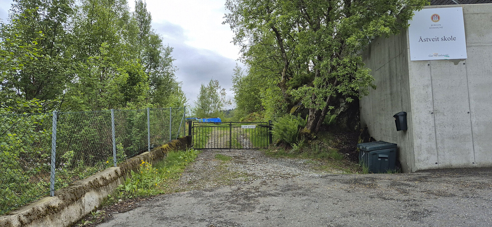 A return to Arna for a revisit of Ådnanipa via a (for me) new route from Garnes. I had also considered continuing to Skåldalsfjellet , but the cold wind made this less appealing. Instead, I descended via a steep trail that on more than one occasion bordered on scrambling. Probably easier as an ascent route.
Ørneberget and Rognåsen in dense fog
- Dato:
- 23.05.2026
- Turtype:
- Fjelltur
- Turlengde:
- 1:31t
- Distanse:
- 5,7km
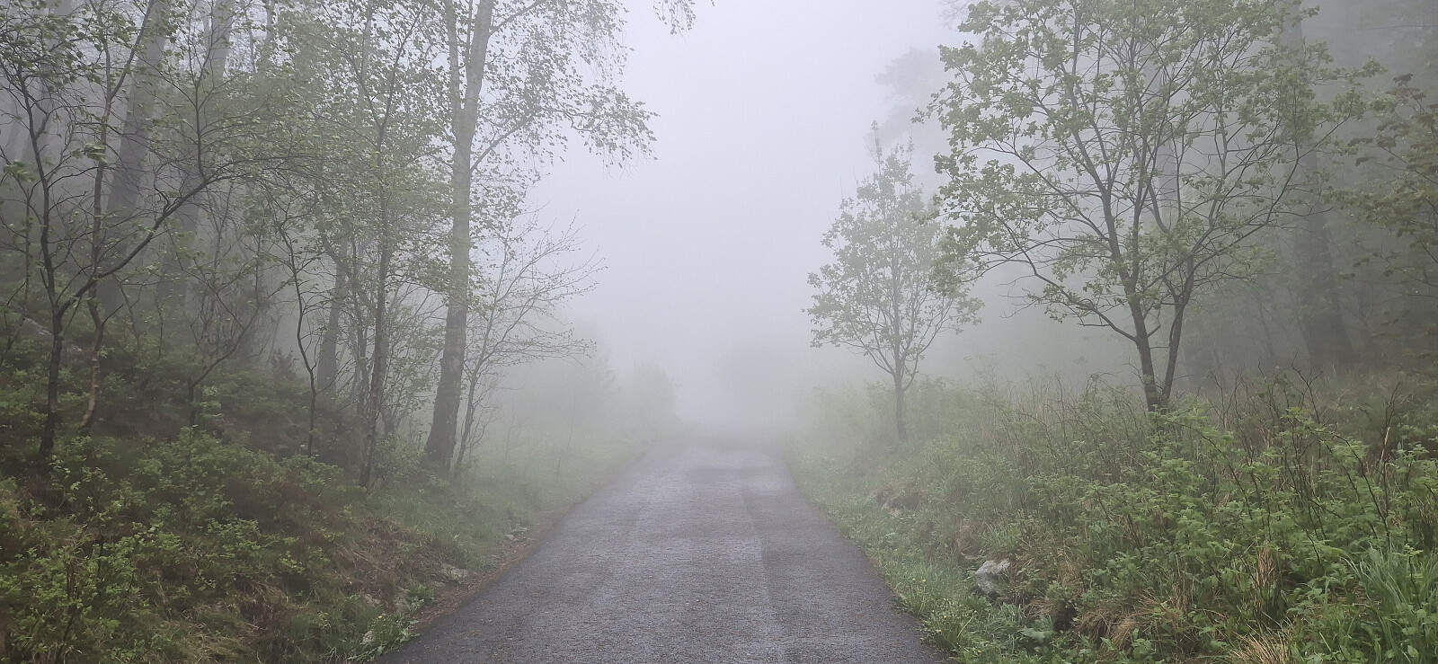 Short local Saturday hike in dense fog.
Across Hellen festning
- Dato:
- 22.05.2026
- Turtype:
- Fottur
- Turlengde:
- 0:49t
- Distanse:
- 3,9km
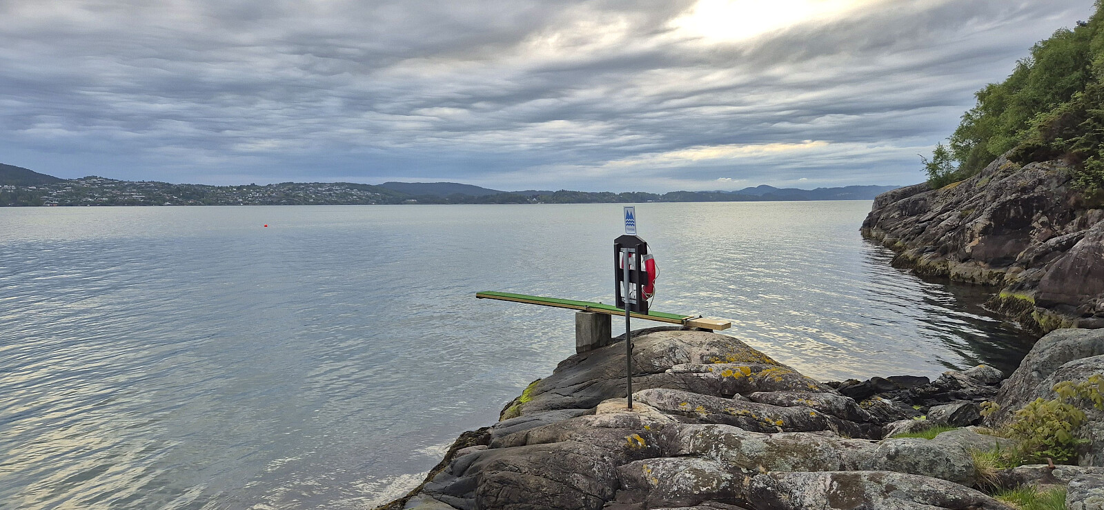 Short local evening hike.
Cycling: Eidsvåg and Munkebotn
- Dato:
- 21.05.2026
- Turtype:
- Gatesykling
- Turlengde:
- 0:46t
- Distanse:
- 11,2km
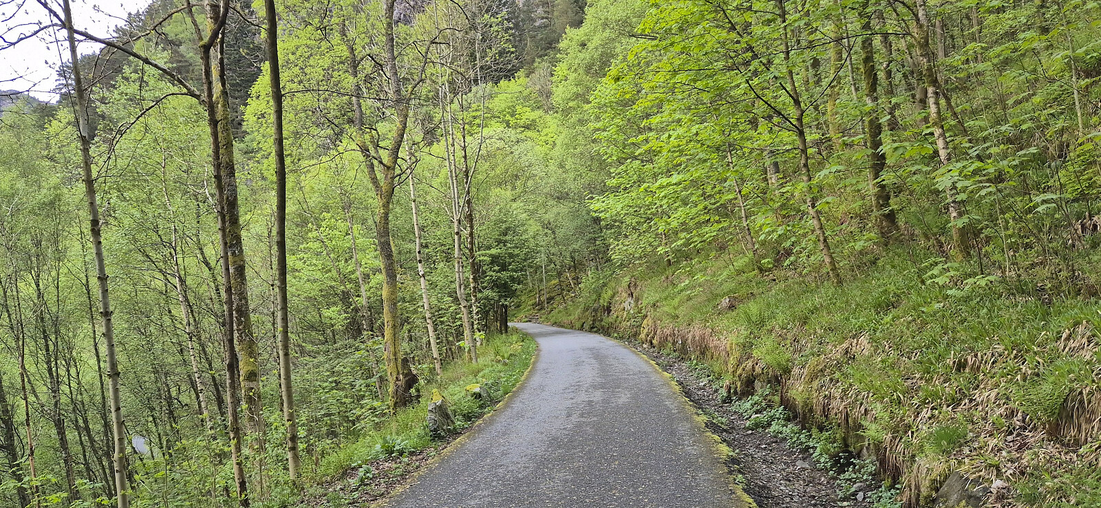 Short local evening cycling trip.
Across Hellen festning
- Dato:
- 19.05.2026
- Turtype:
- Fottur
- Turlengde:
- 0:37t
- Distanse:
- 3,1km
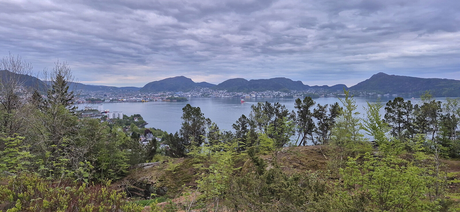 Short local evening hike.
Ørneberget and Furukammen
- Dato:
- 17.05.2026
- Turtype:
- Fjelltur
- Turlengde:
- 0:54t
- Distanse:
- 3,9km
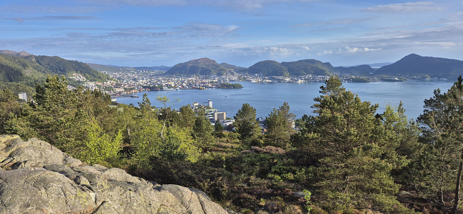 Short local evening hike that included my 250th ascent of Ørneberget (since 2016).
Cycling: Eidsvåg and Munkebotn
- Dato:
- 16.05.2026
- Turtype:
- Gatesykling
- Turlengde:
- 0:49t
- Distanse:
- 11,2km
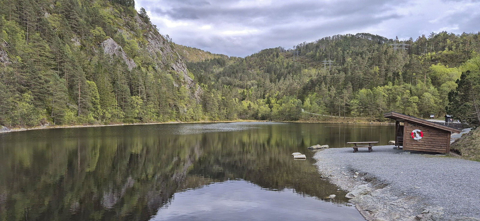 An easy start to the cycling season of 2026 after the long hike in Gulen the day before.
Svabergfjellet from Sollibotn
- Dato:
- 15.05.2026
- Turtype:
- Fjelltur
- Turlengde:
- 7:31t
- Distanse:
- 20,5km
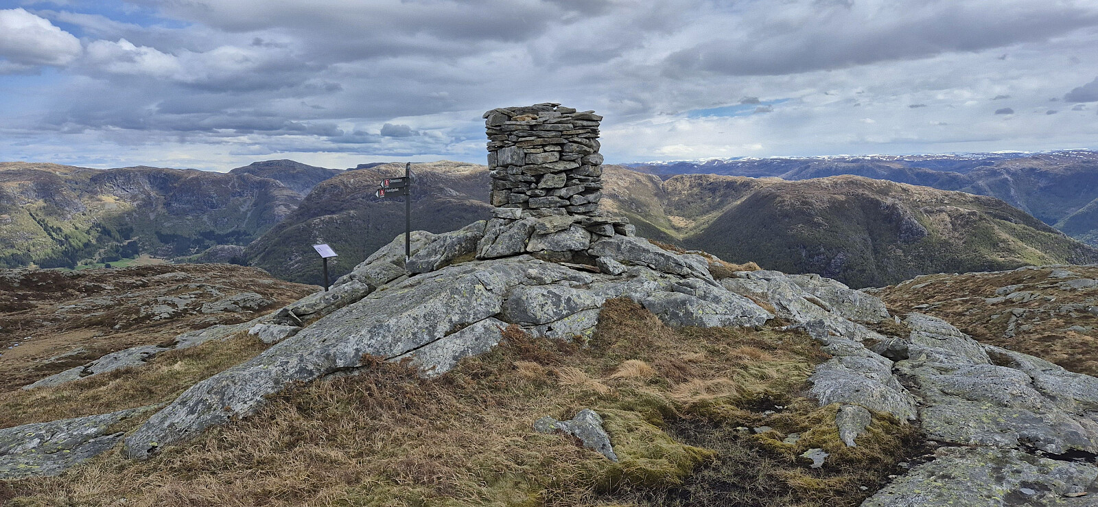 A return to Gulen to complete the ascent of Svabergfjellet that I had to abandon due to running out of time during my hike three weeks earlier . Once more I took the express boat from Bergen and followed the gravel path towards Eivindvik but this time skipping the visit of Gulakvila and Kvitebergnova and instead heading directly to Undertun and the marked trailhead for the hike around Undertundalen.
After a quick stop at Flogefjellet , I continued east towards Svabergfjellet via Flolifjellet on a rather weak and (at best) inconsistently marked trail. But at least the otherwise potentially challenging descent into Floliskardet was clearly marked and the overall direction, except for the descent to Floliskardet, was pretty obvious.
Due to a strong and cold wind at the summit, I did not stay long at Svabergfjellet but quickly continued towards Heia and Ormekletten , still on a rather weak and inconsistently >>>
A return to Gulen to complete the ascent of Svabergfjellet that I had to abandon due to running out of time during my hike three weeks earlier . Once more I took the express boat from Bergen and followed the gravel path towards Eivindvik but this time skipping the visit of Gulakvila and Kvitebergnova and instead heading directly to Undertun and the marked trailhead for the hike around Undertundalen.
After a quick stop at Flogefjellet , I continued east towards Svabergfjellet via Flolifjellet on a rather weak and (at best) inconsistently marked trail. But at least the otherwise potentially challenging descent into Floliskardet was clearly marked and the overall direction, except for the descent to Floliskardet, was pretty obvious.
Due to a strong and cold wind at the summit, I did not stay long at Svabergfjellet but quickly continued towards Heia and Ormekletten , still on a rather weak and inconsistently >>>
Across Hellen festning
- Dato:
- 14.05.2026
- Turtype:
- Fottur
- Turlengde:
- 0:37t
- Distanse:
- 3,1km
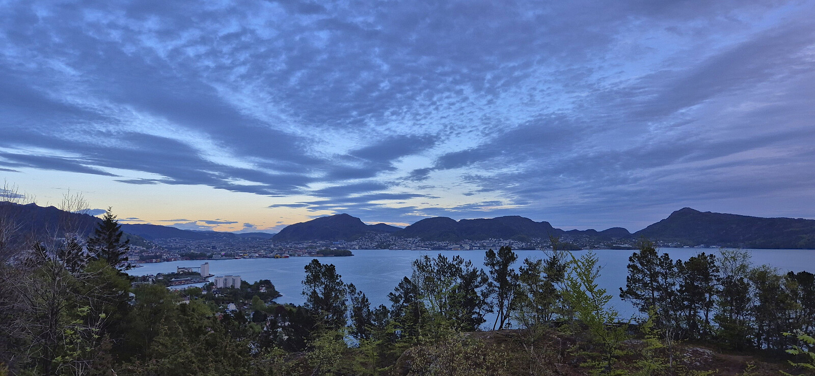 Short local evening hike after spending Ascension Day at the home office.


