Arkiv - dato
Arkiv - aktivitet
-
Annen tur (3)
- Kajakkpadling (3)
- Fottur (1897)
-
Kjøretur (9)
- Biltur (9)
-
Skitur (116)
- Fjellskitur (69)
- Langrennstur (47)
-
Sykkeltur (111)
- Blandet sykling (25)
- Gatesykling (86)
Lister jeg samler etter
-
Utvalgte topper og turmål i Bergen
(349/351)
 99%
99% -
Alle topper i Bergen
(393/400)
98%
-
Voss ≥ 100m pf.
(96/98)
97%
-
Opptur Hordaland
(144/159)
90%
-
Stasjoner på Bergensbanen
(33/40)
82%
-
Ulvik ≥ 100m pf.
(30/38)
78%
-
Hordaland ≥ 100m pf.
(624/863)
72%
-
Mjølfjell PF > 100m
(21/31)
67%
-
Jondal ≥ 100m pf.
(15/23)
65%
-
Dagsturhyttene i Vestland
(36/61)
59%
-
Sunnhordland PF >= 100m
(105/186)
56%
-
Hordaland: Hardanger PF>=100m
(196/359)
54%
-
DNT-hytter i Hordaland
(23/45)
51%
-
Kvinnherad ≥ 100m pf.
(40/79)
50%
-
Eidfjord ≥ 100m pf.
(13/42)
30%
-
Sogndal ≥ 100m pf.
(23/81)
28%
-
Gulen ≥ 100m pf.
(15/54)
27%
-
Vik i Sogn ≥ 100m pf.
(10/46)
21%
-
Sogn - Sør for Sognefjorden PF>=100m
(31/159)
19%
-
DNT-hytter i Sogn og Fjordane
(8/47)
17%

Across Hellen festning
- Dato:
- 11.08.2023
- Turtype:
- Fottur
- Turlengde:
- 0:45t
- Distanse:
- 3,7km
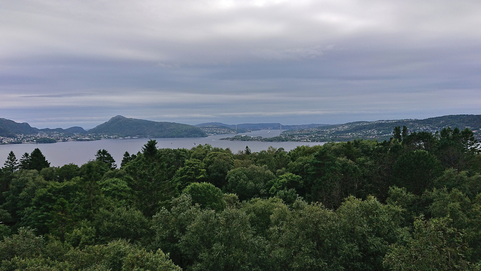 Short local hike after work.
Across Hellen festning
- Dato:
- 09.08.2023
- Turtype:
- Fottur
- Turlengde:
- 0:39t
- Distanse:
- 3,2km
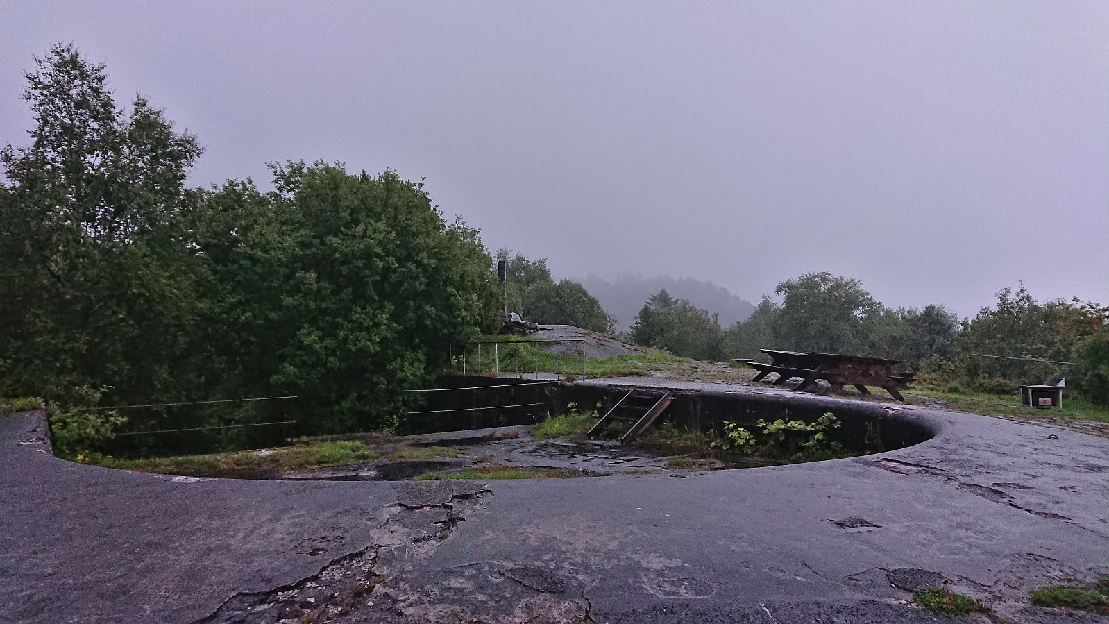 Short local evening hike in the rain.
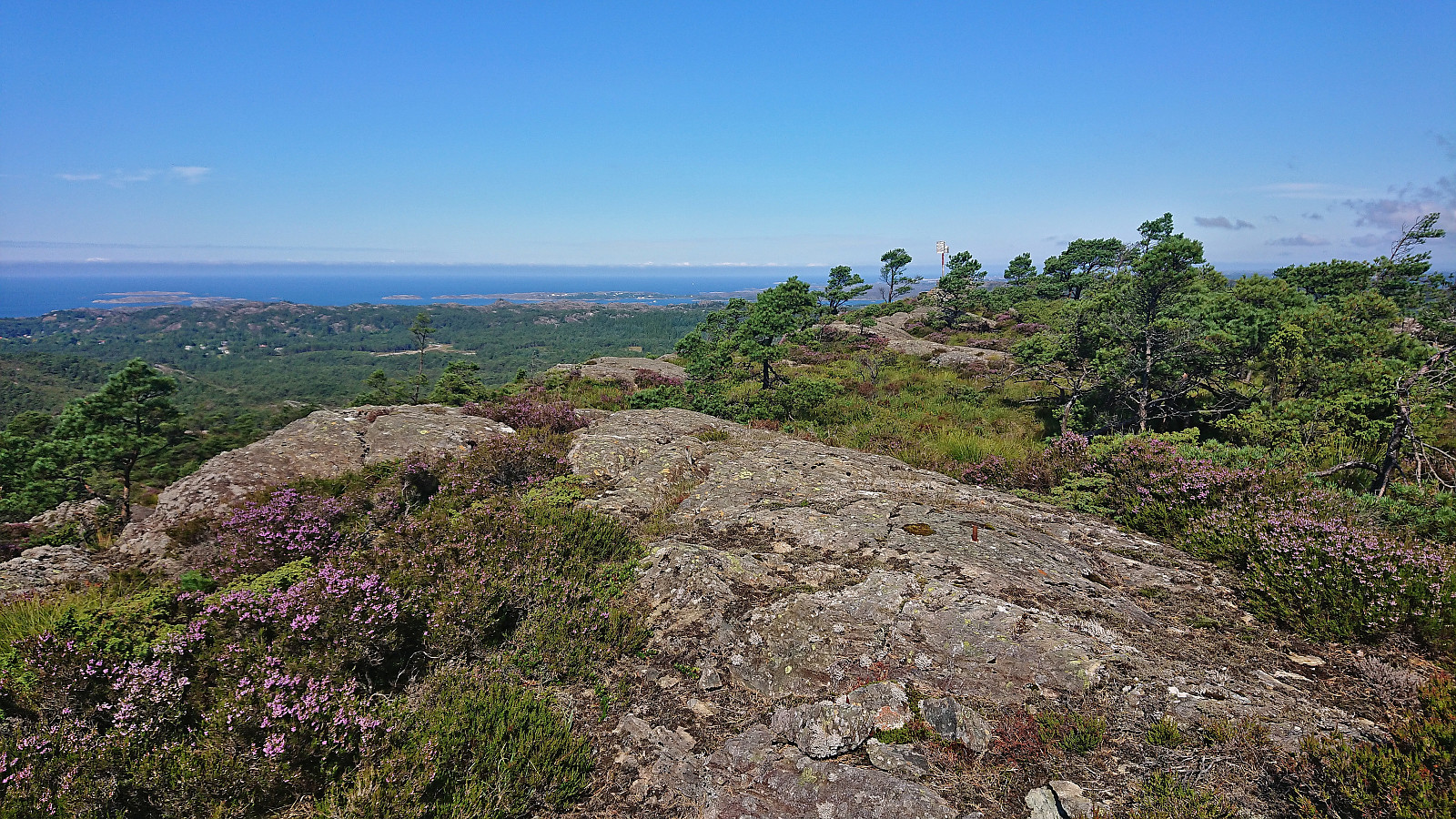
Borgundnuten
- Dato:
- 06.08.2023
- Turtype:
- Fjelltur
- Turlengde:
- 2:32t
- Distanse:
- 7,1km
 The last day of my 2023 summer holiday was spent travelling to Borgundøya for an ascent of Borgundnuten . I started by taking the high-speed passenger ferry from Strandkaien in Bergen to Borgundøy. This included a transfer to a corresponding ferry at Leirvik and in total took about two hours.
Upon arriving at Borgundøya I followed the paved road to the marked trailhead southeast of the summit and from there followed the marked trail all the way to the large summit cairn. Besides meeting maybe a dozen other hikers at the start of the hike (and one during the descent), I had the mountain all to myself and could fully enjoy the excellent panoramic views.
Descended along the same route to the paved road (only adding a short detour to Storaskarnuten ), making sure to call the boat to let them know that I would like to be picked up on their way >>>
The last day of my 2023 summer holiday was spent travelling to Borgundøya for an ascent of Borgundnuten . I started by taking the high-speed passenger ferry from Strandkaien in Bergen to Borgundøy. This included a transfer to a corresponding ferry at Leirvik and in total took about two hours.
Upon arriving at Borgundøya I followed the paved road to the marked trailhead southeast of the summit and from there followed the marked trail all the way to the large summit cairn. Besides meeting maybe a dozen other hikers at the start of the hike (and one during the descent), I had the mountain all to myself and could fully enjoy the excellent panoramic views.
Descended along the same route to the paved road (only adding a short detour to Storaskarnuten ), making sure to call the boat to let them know that I would like to be picked up on their way >>>
Vossavardane, Hotten and Nordnuken
- Dato:
- 05.08.2023
- Turtype:
- Fjelltur
- Turlengde:
- 5:50t
- Distanse:
- 13,7km
 A return to Tjørndalen to visit a couple of minor not previously visited peaks and to see if there were any cloudberries to be found. The former went all according to plan, but the latter was not a big success as we found maybe ten berries in total. There were lots of blueberries though. On the way back to the car I also made a minor detour on my own to the summit of Nordnuken where I managed to find a route that was much better than expected.
Across Hellen festning
- Dato:
- 04.08.2023
- Turtype:
- Fottur
- Turlengde:
- 0:45t
- Distanse:
- 3,6km
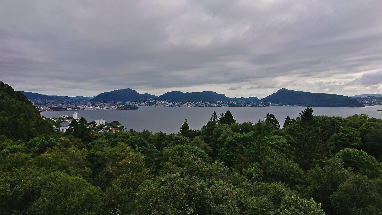 Short local afternoon hike.
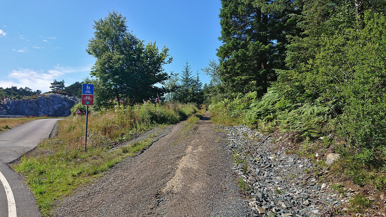
Hellemyrstien
- Dato:
- 03.08.2023
- Turtype:
- Fottur
- Turlengde:
- 1:07t
- Distanse:
- 5,7km
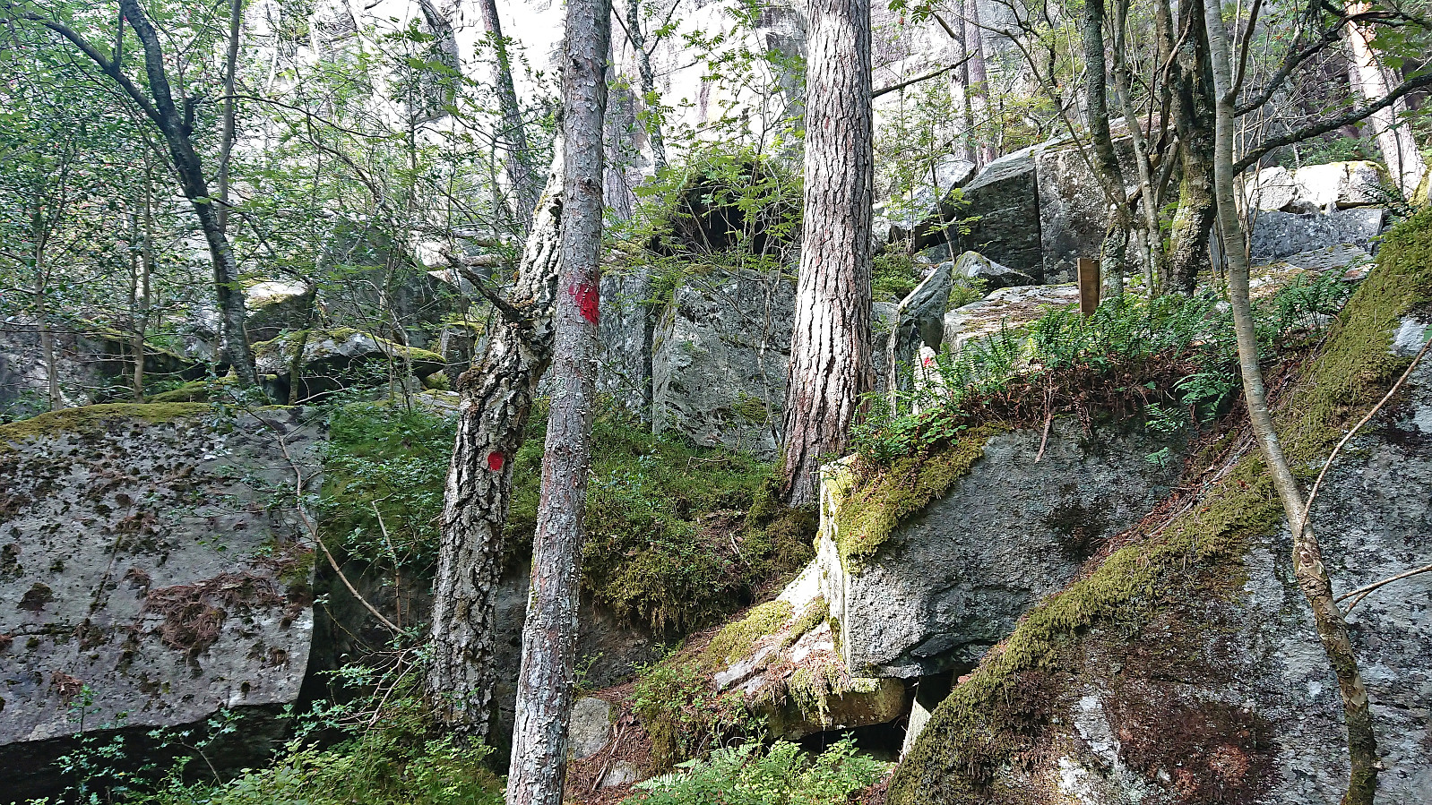
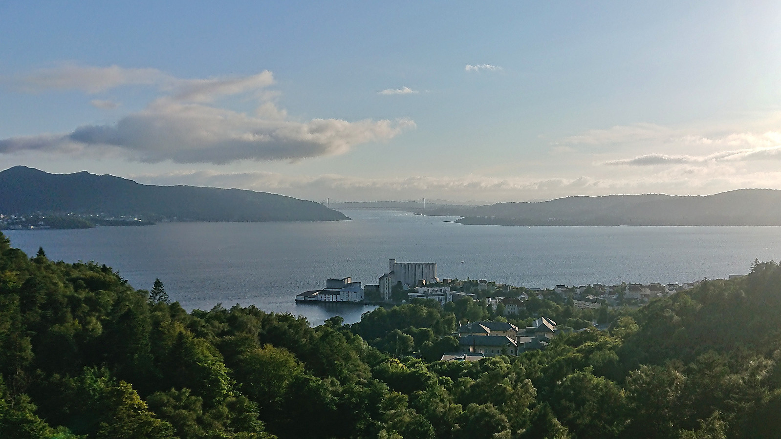 Short local evening hike.
Ørneberget and Rognåsen
- Dato:
- 02.08.2023
- Turtype:
- Fjelltur
- Turlengde:
- 1:24t
- Distanse:
- 6,4km
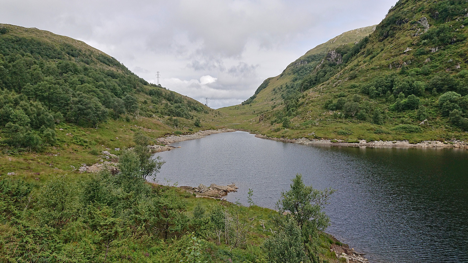
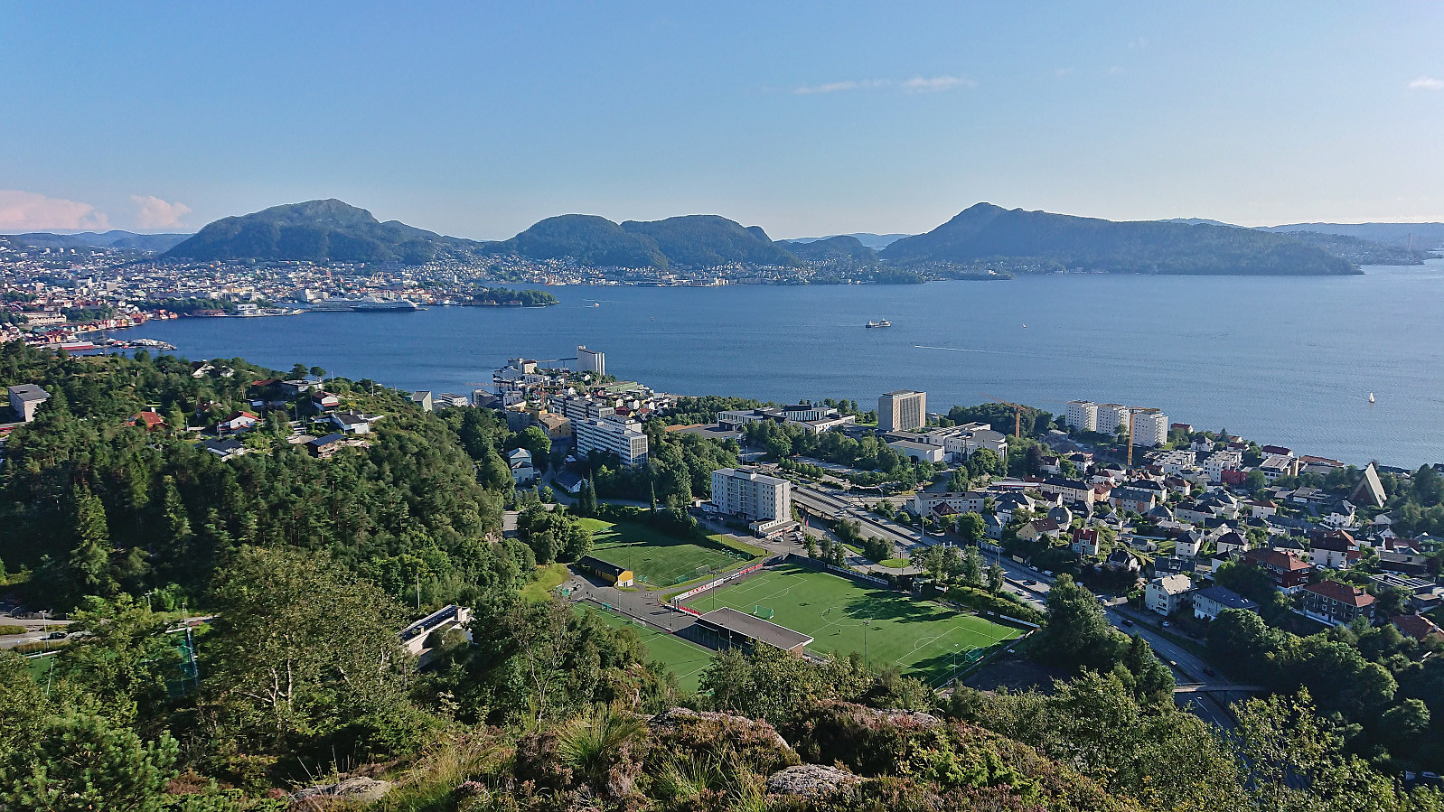 Short local afternoon hike.
Kurebu
- Dato:
- 01.08.2023
- Turtype:
- Fjelltur
- Turlengde:
- 0:44t
- Distanse:
- 2,3km
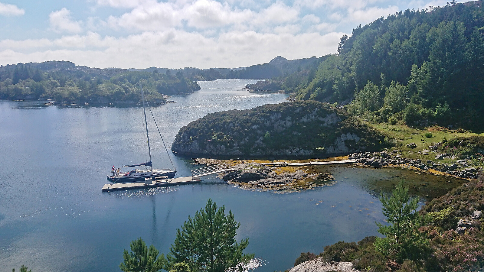 I left my bike at the marked trailhead and simply followed the marked trail all the way to Kurebu . More up and down than perhaps I had expected but otherwise straightforward. Great views along the way. I considered returning along the alternative route to the east, but as it would be slightly longer, and I did not want to risk missing the boat at Rubbestadneset, I ended up just returning the same way.
Lyklingfjellet from Bømlavegen
- Dato:
- 01.08.2023
- Turtype:
- Fjelltur
- Turlengde:
- 1:01t
- Distanse:
- 2,5km
 After ascending Børøysåta and Børøyklampen , I cycled the short distance to the marked trailhead for Lyklingfjellet (or I guess more correctly the marked trailhead for Hovda , as Lyklingfjellet was not actually mentioned on any of the signs). While it would have been possible to cycle further along the tractor road, it got increasingly more muddy, hence I quickly decided to leave the bike and continue on foot.
The tractor road later passed through a gate with grazing sheep on the other side. The sheep were however soon left behind when crossing the fence via a wooden ladder and starting on the marked trail towards Hovda.
When the trail later forked I continued on an unmarked trail that, to my surprise, took me all the way to the summit of Lyklingfjellet. There were even red painted trail markers towards the end and a wooden ladder to navigate >>>
After ascending Børøysåta and Børøyklampen , I cycled the short distance to the marked trailhead for Lyklingfjellet (or I guess more correctly the marked trailhead for Hovda , as Lyklingfjellet was not actually mentioned on any of the signs). While it would have been possible to cycle further along the tractor road, it got increasingly more muddy, hence I quickly decided to leave the bike and continue on foot.
The tractor road later passed through a gate with grazing sheep on the other side. The sheep were however soon left behind when crossing the fence via a wooden ladder and starting on the marked trail towards Hovda.
When the trail later forked I continued on an unmarked trail that, to my surprise, took me all the way to the summit of Lyklingfjellet. There were even red painted trail markers towards the end and a wooden ladder to navigate >>>
Sør for Børøysåta and Børøyklampen
- Dato:
- 01.08.2023
- Turtype:
- Fjelltur
- Turlengde:
- 1:34t
- Distanse:
- 3,3km
 Most hikers seem to ascend Børøyklampen from the parking lot at Nautsundet. I had however come across JoSo (Johan Solberg) 's trip report from 2015 where he referred to a marked trail starting further north. At the top of the last hill before descending to Nautsundet I therefore instead followed a short dead end gravel road to an unmarked trailhead named Falkastigen on the map. Here I left the bike behind and continued on foot.
While I did not see any of the trail markers Johan mentioned in his report, the trail was there, although rather weak and disappearing several times, most notably when crossing wet areas. As far as I could tell the trail did not go via the highest point at neither Børøysåta nor Sør for Børøysåta but as it was less than 100 meters to the latter I made a quick off-trail visit before returning to the trail.
As the trail later turned west towards Børøyklampen it turned >>>
Most hikers seem to ascend Børøyklampen from the parking lot at Nautsundet. I had however come across JoSo (Johan Solberg) 's trip report from 2015 where he referred to a marked trail starting further north. At the top of the last hill before descending to Nautsundet I therefore instead followed a short dead end gravel road to an unmarked trailhead named Falkastigen on the map. Here I left the bike behind and continued on foot.
While I did not see any of the trail markers Johan mentioned in his report, the trail was there, although rather weak and disappearing several times, most notably when crossing wet areas. As far as I could tell the trail did not go via the highest point at neither Børøysåta nor Sør for Børøysåta but as it was less than 100 meters to the latter I made a quick off-trail visit before returning to the trail.
As the trail later turned west towards Børøyklampen it turned >>>
