Arkiv - dato
Arkiv - aktivitet
-
Annen tur (3)
- Kajakkpadling (3)
- Fottur (1897)
-
Kjøretur (9)
- Biltur (9)
-
Skitur (116)
- Fjellskitur (69)
- Langrennstur (47)
-
Sykkeltur (111)
- Blandet sykling (25)
- Gatesykling (86)
Lister jeg samler etter
-
Utvalgte topper og turmål i Bergen
(349/351)
 99%
99% -
Alle topper i Bergen
(393/400)
98%
-
Voss ≥ 100m pf.
(96/98)
97%
-
Opptur Hordaland
(144/159)
90%
-
Stasjoner på Bergensbanen
(33/40)
82%
-
Ulvik ≥ 100m pf.
(30/38)
78%
-
Hordaland ≥ 100m pf.
(624/863)
72%
-
Mjølfjell PF > 100m
(21/31)
67%
-
Jondal ≥ 100m pf.
(15/23)
65%
-
Dagsturhyttene i Vestland
(36/61)
59%
-
Sunnhordland PF >= 100m
(105/186)
56%
-
Hordaland: Hardanger PF>=100m
(196/359)
54%
-
DNT-hytter i Hordaland
(23/45)
51%
-
Kvinnherad ≥ 100m pf.
(40/79)
50%
-
Eidfjord ≥ 100m pf.
(13/42)
30%
-
Sogndal ≥ 100m pf.
(23/81)
28%
-
Gulen ≥ 100m pf.
(15/54)
27%
-
Vik i Sogn ≥ 100m pf.
(10/46)
21%
-
Sogn - Sør for Sognefjorden PF>=100m
(31/159)
19%
-
DNT-hytter i Sogn og Fjordane
(8/47)
17%

Hellemyrstien and Furukammen
- Dato:
- 29.01.2023
- Turtype:
- Fottur
- Turlengde:
- 2:05t
- Distanse:
- 8,3km
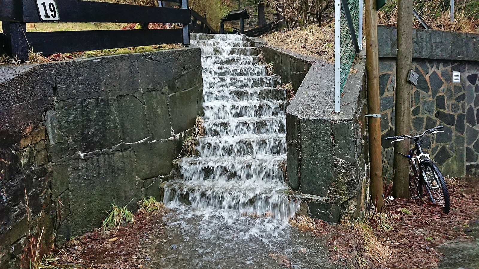 Short local hike on an unusually wet Sunday, even by Bergen standards.
Ramboghøyen and Rambua
- Dato:
- 28.01.2023
- Turtype:
- Fjelltur
- Turlengde:
- 1:20t
- Distanse:
- 6,0km
 A return to Øygarden for a visit of the recently opened Rambua ( officially opened January 14th ). Started from the bus stop called "Blomvåg terminal" and planned to follow the suggested roundtrip from ut.no . I however missed the sign for the trailhead and continued further south than necessary. When the road later forked I also picked the wrong option (Fagerdalsvegen instead of Knarrvikvegen). In my defense the map indicated a trail at the end of both of these roads (and none from Stølemyrvegen where the real trailhead was located). But I shortly connected with the proper marked trail which I then proceeded to follow all the way to Ramboghøyen and Rambua.
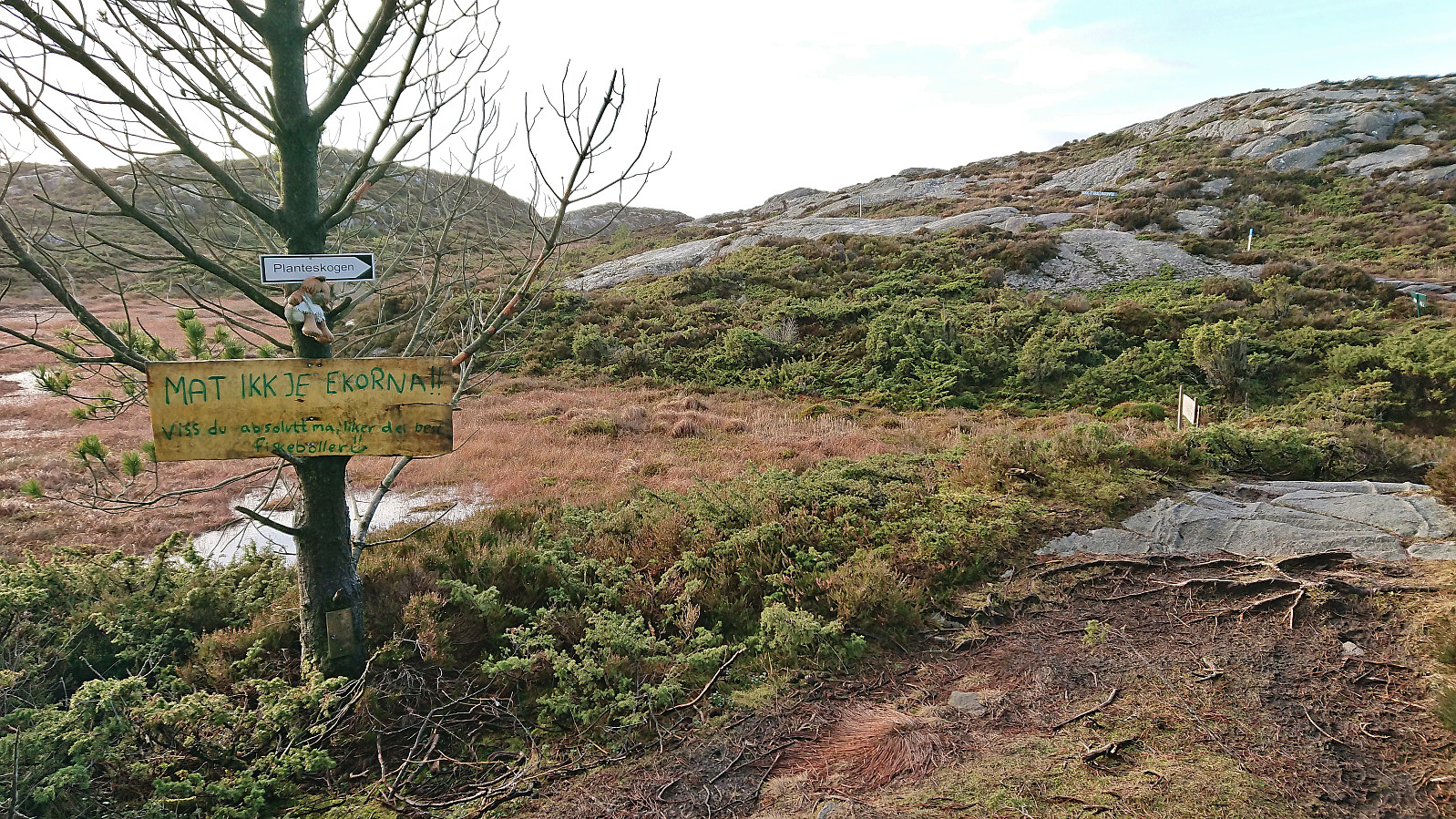
After briefly enjoying the excellent views, I continued south via Planteskogen before returning northeast. This time trying Knarrvikvegen, which towards the end consisted of a gravel-covered trail and thus >>>
A return to Øygarden for a visit of the recently opened Rambua ( officially opened January 14th ). Started from the bus stop called "Blomvåg terminal" and planned to follow the suggested roundtrip from ut.no . I however missed the sign for the trailhead and continued further south than necessary. When the road later forked I also picked the wrong option (Fagerdalsvegen instead of Knarrvikvegen). In my defense the map indicated a trail at the end of both of these roads (and none from Stølemyrvegen where the real trailhead was located). But I shortly connected with the proper marked trail which I then proceeded to follow all the way to Ramboghøyen and Rambua.
After briefly enjoying the excellent views, I continued south via Planteskogen before returning northeast. This time trying Knarrvikvegen, which towards the end consisted of a gravel-covered trail and thus >>>
Across Hellen festning
- Dato:
- 26.01.2023
- Turtype:
- Fottur
- Turlengde:
- 0:39t
- Distanse:
- 3,2km
 Short local evening hike after dark.
Åsen and Solhaug
- Dato:
- 22.01.2023
- Turtype:
- Fjelltur
- Turlengde:
- 2:24t
- Distanse:
- 9,5km
 Started by taking the bus (or rather buses, four in total) from Bergen to Ulvik, and got off at the stop "Ulvik sentrum". The reason for starting my hike from there, instead of taking the bus all the way to the final stop at Hjeltnes, was that it would allow me to take full advantage of the available sunlight on this late January day (as analyzed in advance using ShadeMap ). Thus, I could enjoy the sunshine almost until starting the real ascent to Åsen .
At Håheim I did an unnecessary detour, as I later discovered that the marked route to Åsen simply follows the road to Håheim and then south via a tractor road. Shortly after reconnecting with the main route, I continued on another tractor road south, forking right when the road split after just 50 meters, before finally turning southwest towards >>>
Started by taking the bus (or rather buses, four in total) from Bergen to Ulvik, and got off at the stop "Ulvik sentrum". The reason for starting my hike from there, instead of taking the bus all the way to the final stop at Hjeltnes, was that it would allow me to take full advantage of the available sunlight on this late January day (as analyzed in advance using ShadeMap ). Thus, I could enjoy the sunshine almost until starting the real ascent to Åsen .
At Håheim I did an unnecessary detour, as I later discovered that the marked route to Åsen simply follows the road to Håheim and then south via a tractor road. Shortly after reconnecting with the main route, I continued on another tractor road south, forking right when the road split after just 50 meters, before finally turning southwest towards >>>
Vardetangen and Årvika
- Dato:
- 21.01.2023
- Turtype:
- Fottur
- Turlengde:
- 1:10t
- Distanse:
- 5,5km
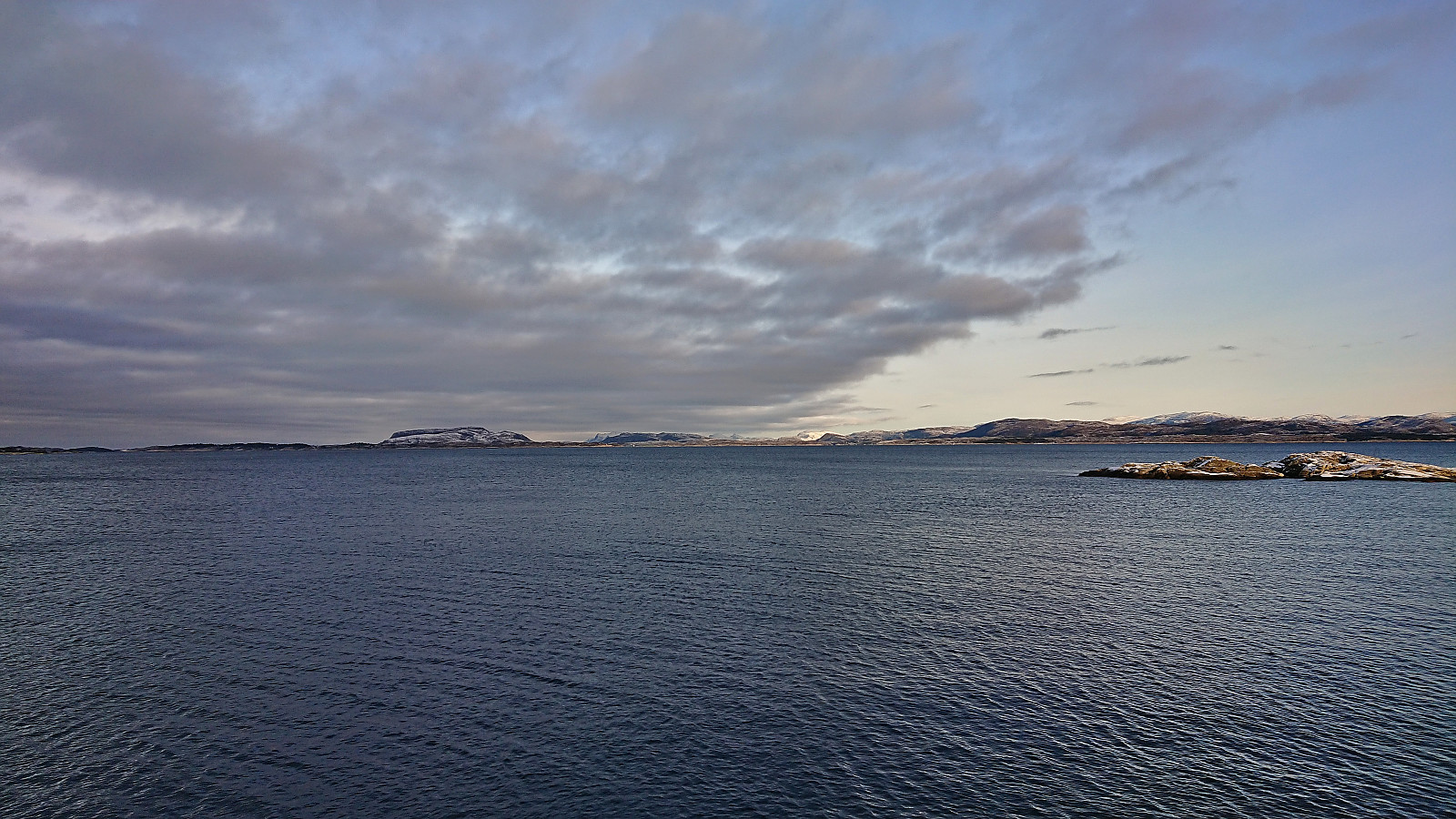 I took the bus to Fonnes and from there followed the suggested roundtrip via Vardetangen and Årvika. Overall a very nice hike along either roads with limited traffic or gravel-covered hiking paths. Excellent views along the way and from the westernmost mainland point in Norway . Highly recommended!
Skiing at Fløyen
- Dato:
- 17.01.2023
- Turtype:
- Langrennstur
- Turlengde:
- 2:41t
- Distanse:
- 13,7km
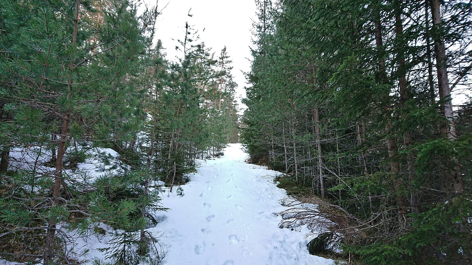
 The first skiing trip of 2023! (Although not the first this winter .) Ok, but not great conditions. Even so, the skis came on just above the upper station of Fløibanen and stayed on until Smådiket (the small dam below Storevatnet), where the frequency of small rocks visible in the already rather thin layer of snow simply got too high. However, the skies were put back on between Munkebotsvatnet and the top of Øyjorden.
Orretua
- Dato:
- 15.01.2023
- Turtype:
- Fjelltur
- Turlengde:
- 2:19t
- Distanse:
- 8,1km
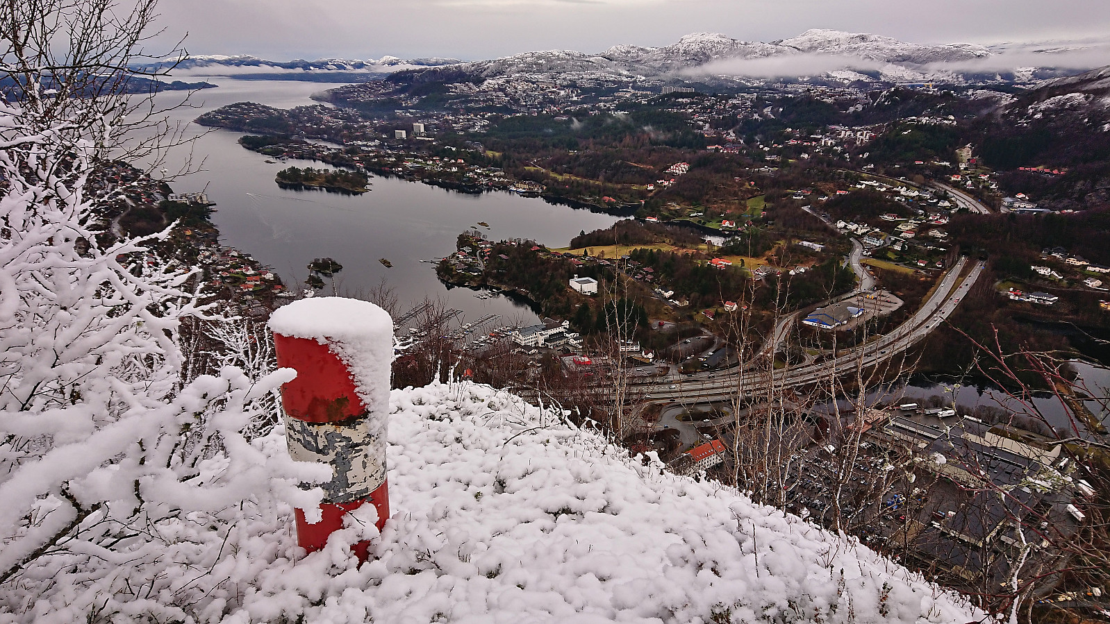 Local Sunday hike across Orretua to look for a trig marker north of the summit that knutsverre (Knut S. Andersen) had detected as part of his search for such markers all over Bergen. The marker was located less than 50 meters from the trail, could be reached without any real issues and provided excellent views. After a quick visit to the summit of Orretua, I descended via Ravneberg and also included a revisit of the recently renovated Birkelid . On my last visit this cabin had been in a sorry state, but now it looked almost brand new!
Vardebu, Kolåsfjellet and Steinfjellet
- Dato:
- 14.01.2023
- Turtype:
- Fjelltur
- Turlengde:
- 1:56t
- Distanse:
- 7,8km
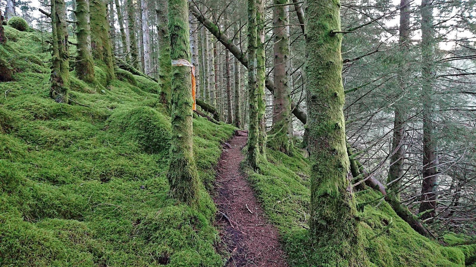 A return to Lindås and Kolåsfjellet with the main objective of visiting Vardebu , which had not been there at my last visit of Kolåsfjellet in 2018 . After visiting both Vardebu and Kolåsfjellet I continued northwest to Steinfjellet , which provided excellent views and was well worth the short detour. From Steinfjellet I followed a trail via Hæddena that later turned southwest and headed back towards Vardebu. I however did not reascend to Vardebu/ Vardefjellet , but instead followed an alternative trail marked with orange ribbons back to the parking lot and from there returned to the bus stop at Kolås kryss. This last trail was not of the same overall high quality as the other trails, but it had plenty of trail markers and was easy to follow.
Ørneberget and Hellen festning
- Dato:
- 12.01.2023
- Turtype:
- Fjelltur
- Turlengde:
- 0:58t
- Distanse:
- 4,2km
 Short local hike just after sunset.
Starefossen to Munkebotn
- Dato:
- 08.01.2023
- Turtype:
- Fottur
- Turlengde:
- 1:07t
- Distanse:
- 5,7km
 Short hike on a wet Sunday where I managed to avoid almost all of the rain showers.
