Arkiv - dato
Arkiv - aktivitet
-
Annen tur (3)
- Kajakkpadling (3)
- Fottur (1897)
-
Kjøretur (9)
- Biltur (9)
-
Skitur (116)
- Fjellskitur (69)
- Langrennstur (47)
-
Sykkeltur (111)
- Blandet sykling (25)
- Gatesykling (86)
Lister jeg samler etter
-
Utvalgte topper og turmål i Bergen
(349/351)
 99%
99% -
Alle topper i Bergen
(393/400)
98%
-
Voss ≥ 100m pf.
(96/98)
97%
-
Opptur Hordaland
(144/159)
90%
-
Stasjoner på Bergensbanen
(33/40)
82%
-
Ulvik ≥ 100m pf.
(30/38)
78%
-
Hordaland ≥ 100m pf.
(624/863)
72%
-
Mjølfjell PF > 100m
(21/31)
67%
-
Jondal ≥ 100m pf.
(15/23)
65%
-
Dagsturhyttene i Vestland
(36/61)
59%
-
Sunnhordland PF >= 100m
(105/186)
56%
-
Hordaland: Hardanger PF>=100m
(196/359)
54%
-
DNT-hytter i Hordaland
(23/45)
51%
-
Kvinnherad ≥ 100m pf.
(40/79)
50%
-
Eidfjord ≥ 100m pf.
(13/42)
30%
-
Sogndal ≥ 100m pf.
(23/81)
28%
-
Gulen ≥ 100m pf.
(15/54)
27%
-
Vik i Sogn ≥ 100m pf.
(10/46)
21%
-
Sogn - Sør for Sognefjorden PF>=100m
(31/159)
19%
-
DNT-hytter i Sogn og Fjordane
(8/47)
17%

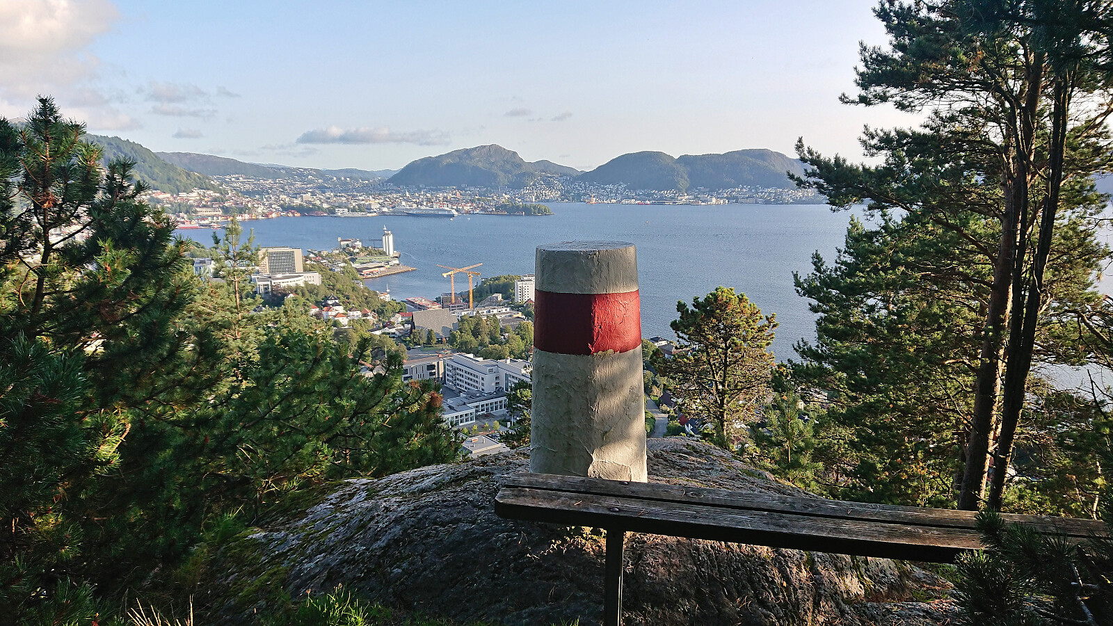
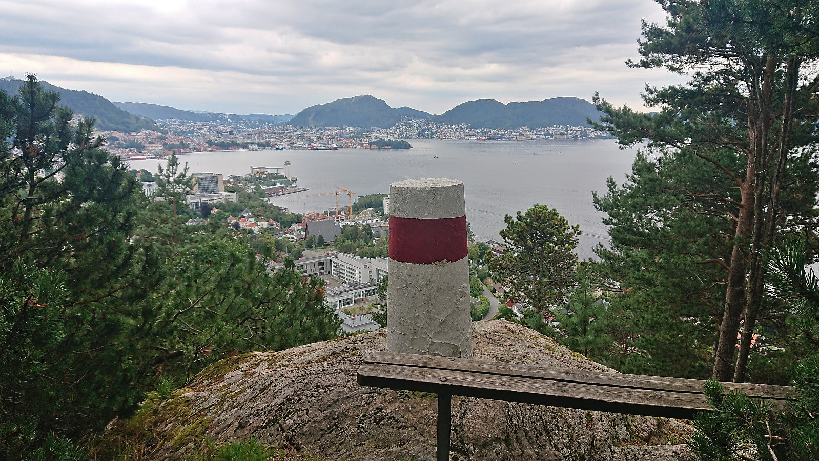
Ørneberget and Hellen festning
- Dato:
- 09.09.2023
- Turtype:
- Fjelltur
- Turlengde:
- 1:04t
- Distanse:
- 4,8km
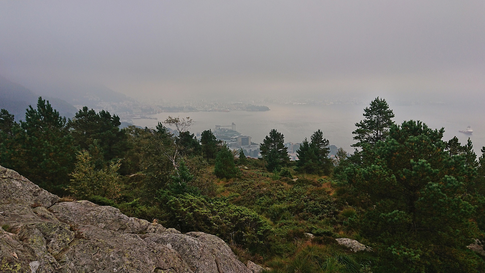 Short local Saturday hike on a day with limited views due to low-hanging clouds/fog.
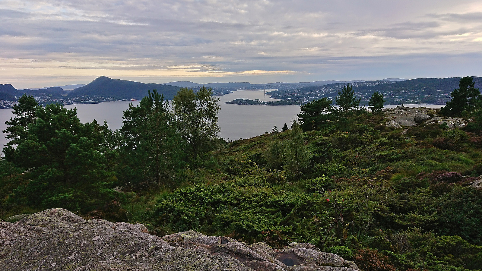
Hauggjelsvarden and Ulriken Vest from Sædalen
- Dato:
- 06.09.2023
- Turtype:
- Fjelltur
- Turlengde:
- 4:15t
- Distanse:
- 11,9km
 Hike after work with a colleague taking part in Stolpejakten (hence the odd detour after leaving Hauggjelsvarden ).
Across Hellen festning
- Dato:
- 05.09.2023
- Turtype:
- Fottur
- Turlengde:
- 0:36t
- Distanse:
- 3,1km
 Short local evening hike.
Raundalsryggen from Reimegrend to Øyeflaten
- Dato:
- 02.09.2023
- Turtype:
- Fjelltur
- Turlengde:
- 10:14t
- Distanse:
- 30,4km
 Started by taking the train to Reimegrend and after safely crossing to the south side of the railroad tracks I followed the river east, first off-trail and then on a little used path that included a small wooden bridge. Just after the bridge I turned south towards the river along a trail which I thought would bring me to the bridge across Raundalselvi . This trail however pretty much came to an end at a small island northwest of the bridge and I had to find my own way to the bridge from there. Thankfully, the water level in the river was not very high and I managed to leave the island and get to the bridge without getting wet.
After crossing the bridge I followed a trail southeast to Vetlaheggstølen and Mysedalen. While walking along the river was nice, the trail was clearly not very frequently used and disappeared several times. From Vetlaheggstølen >>>
Started by taking the train to Reimegrend and after safely crossing to the south side of the railroad tracks I followed the river east, first off-trail and then on a little used path that included a small wooden bridge. Just after the bridge I turned south towards the river along a trail which I thought would bring me to the bridge across Raundalselvi . This trail however pretty much came to an end at a small island northwest of the bridge and I had to find my own way to the bridge from there. Thankfully, the water level in the river was not very high and I managed to leave the island and get to the bridge without getting wet.
After crossing the bridge I followed a trail southeast to Vetlaheggstølen and Mysedalen. While walking along the river was nice, the trail was clearly not very frequently used and disappeared several times. From Vetlaheggstølen >>>
Hellen festning, Furukammen and Ørneberget NV
- Dato:
- 01.09.2023
- Turtype:
- Fottur
- Turlengde:
- 2:10t
- Distanse:
- 6,0km
 Short local evening hike.
Dyrdalsrunden
- Dato:
- 30.08.2023
- Turtype:
- Fjelltur
- Turlengde:
- 6:30t
- Distanse:
- 14,3km
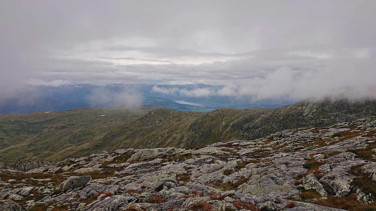
 Left work early for a hike with two colleagues following the so-called Dyrdalsrunden, i.e. a hike following the ridges around Dyrdalsvatnet . Excellent views along the way but the trails were overall not of the best quality and rather muddy. On the way back to the car I made a small detour on my own to Bontveit søyle . This included a steep ascent from the east with lots of fallen trees to crawl over/under as a I got close to the trig marker and an equally steep descent south along the ridge. So while the main hike can be highly recommended, a visit of Bontveit søyle is clearly more of an acquired taste.
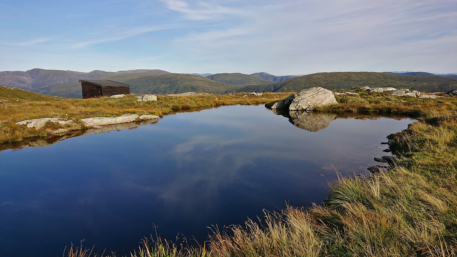
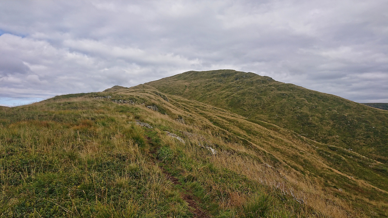
Sundagsfjellet, Fridalsnova and Vest for Vestrebotn
- Dato:
- 26.08.2023
- Turtype:
- Fjelltur
- Turlengde:
- 11:26t
- Distanse:
- 25,9km
 A return to Modalen with Petter to visit the final two peaks he had not yet visited in Nordhordland. Petter picked me up at my place at 06:30 and after around 1.5 hours of driving we parked at the small parking lot in Heimdal and were soon ready to begin our hike up Norddalen.
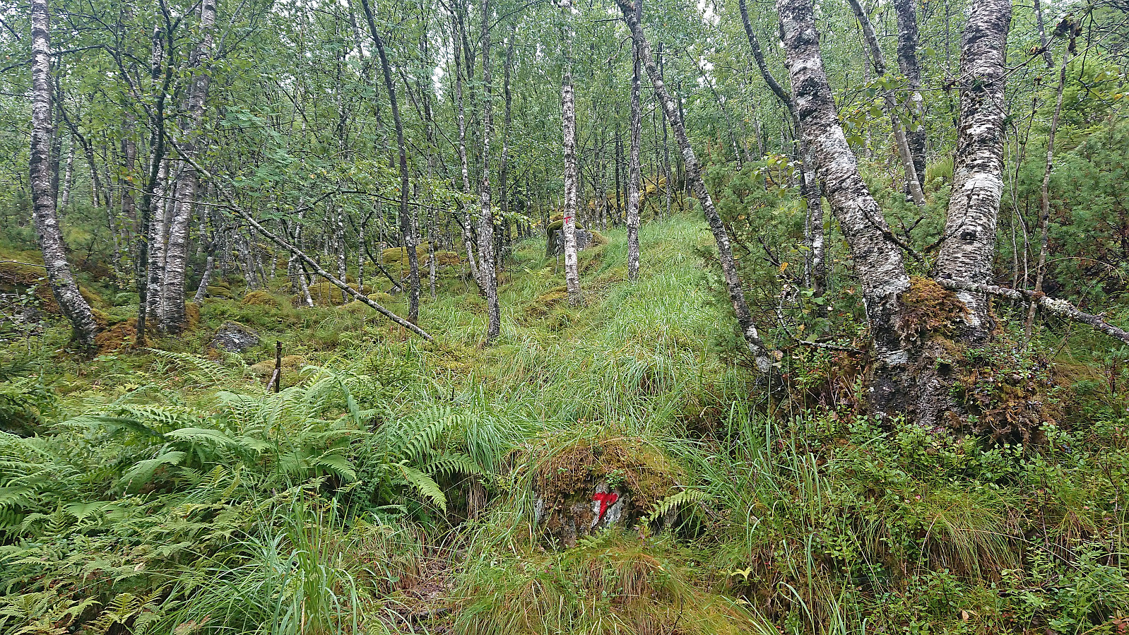
In Norddalen there is a trail marked with red T's, however both the trail and the trail markers were often difficult to spot and we ended up losing the trail a couple of times. But given that the main direction was pretty obvious, i.e. head up the valley, this was not a big problem. The wet surfaces and the many slippery rocks however provided more of a challenge and meant that we had to proceed with care. Note that trying to follow the markers is still very much recommended as there were several maze-like passages in between large boulders where the markers >>>
A return to Modalen with Petter to visit the final two peaks he had not yet visited in Nordhordland. Petter picked me up at my place at 06:30 and after around 1.5 hours of driving we parked at the small parking lot in Heimdal and were soon ready to begin our hike up Norddalen.
In Norddalen there is a trail marked with red T's, however both the trail and the trail markers were often difficult to spot and we ended up losing the trail a couple of times. But given that the main direction was pretty obvious, i.e. head up the valley, this was not a big problem. The wet surfaces and the many slippery rocks however provided more of a challenge and meant that we had to proceed with care. Note that trying to follow the markers is still very much recommended as there were several maze-like passages in between large boulders where the markers >>>
Ørneberget and Furukammen
- Dato:
- 24.08.2023
- Turtype:
- Fjelltur
- Turlengde:
- 0:55t
- Distanse:
- 3,9km
 Short local evening hike.
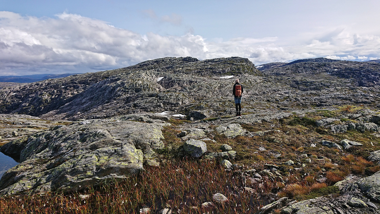
Taket, Vardadalsbu and Eldhusfjellet
- Dato:
- 20.08.2023
- Turtype:
- Fjelltur
- Turlengde:
- 7:50t
- Distanse:
- 18,2km
 After Friday's long hike from Hamlagrøvatnet to Norheimsund I was not really planning on more long hikes this weekend. However, when Petter contacted me and asked if I wanted to go hiking on Sunday I of course could not resist and quickly said yes. We decided on Modalen and an attempt at visiting three of the four peaks that Petter had not yet visited in this area.
Petter picked me up at 07:30 and after a 1.5 hours drive we arrived at Steinsland where we found parking right next to the marked trailhead for Vardadalsbu . While the trailhead was marked, the trail quality was low. In fact, early on we were wondering if we were on a trail at all. Soon the familiar red trail markers however started appearing, and while the trail was still weak, it could now be followed without too much difficulty.
The trail was quite steep though. From the trailhead the trail climbed >>>
After Friday's long hike from Hamlagrøvatnet to Norheimsund I was not really planning on more long hikes this weekend. However, when Petter contacted me and asked if I wanted to go hiking on Sunday I of course could not resist and quickly said yes. We decided on Modalen and an attempt at visiting three of the four peaks that Petter had not yet visited in this area.
Petter picked me up at 07:30 and after a 1.5 hours drive we arrived at Steinsland where we found parking right next to the marked trailhead for Vardadalsbu . While the trailhead was marked, the trail quality was low. In fact, early on we were wondering if we were on a trail at all. Soon the familiar red trail markers however started appearing, and while the trail was still weak, it could now be followed without too much difficulty.
The trail was quite steep though. From the trailhead the trail climbed >>>
Furukammen
- Dato:
- 19.08.2023
- Turtype:
- Fottur
- Turlengde:
- 1:49t
- Distanse:
- 4,8km
 Short local Saturday hike.
