Arkiv - dato
Arkiv - aktivitet
-
Annen tur (3)
- Kajakkpadling (3)
- Fottur (1897)
-
Kjøretur (9)
- Biltur (9)
-
Skitur (116)
- Fjellskitur (69)
- Langrennstur (47)
-
Sykkeltur (111)
- Blandet sykling (25)
- Gatesykling (86)
Lister jeg samler etter
-
Utvalgte topper og turmål i Bergen
(349/351)
 99%
99% -
Alle topper i Bergen
(393/400)
98%
-
Voss ≥ 100m pf.
(96/98)
97%
-
Opptur Hordaland
(144/159)
90%
-
Stasjoner på Bergensbanen
(33/40)
82%
-
Ulvik ≥ 100m pf.
(30/38)
78%
-
Hordaland ≥ 100m pf.
(624/863)
72%
-
Mjølfjell PF > 100m
(21/31)
67%
-
Jondal ≥ 100m pf.
(15/23)
65%
-
Dagsturhyttene i Vestland
(36/61)
59%
-
Sunnhordland PF >= 100m
(105/186)
56%
-
Hordaland: Hardanger PF>=100m
(196/359)
54%
-
DNT-hytter i Hordaland
(23/45)
51%
-
Kvinnherad ≥ 100m pf.
(40/79)
50%
-
Eidfjord ≥ 100m pf.
(13/42)
30%
-
Sogndal ≥ 100m pf.
(23/81)
28%
-
Gulen ≥ 100m pf.
(15/54)
27%
-
Vik i Sogn ≥ 100m pf.
(10/46)
21%
-
Sogn - Sør for Sognefjorden PF>=100m
(31/159)
19%
-
DNT-hytter i Sogn og Fjordane
(8/47)
17%

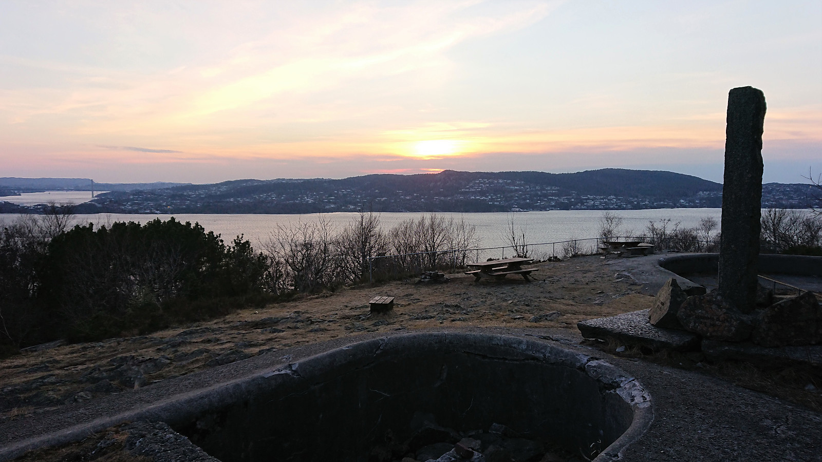
Across Hellen festning
- Dato:
- 15.03.2022
- Turtype:
- Fottur
- Turlengde:
- 0:34t
- Distanse:
- 3,2km
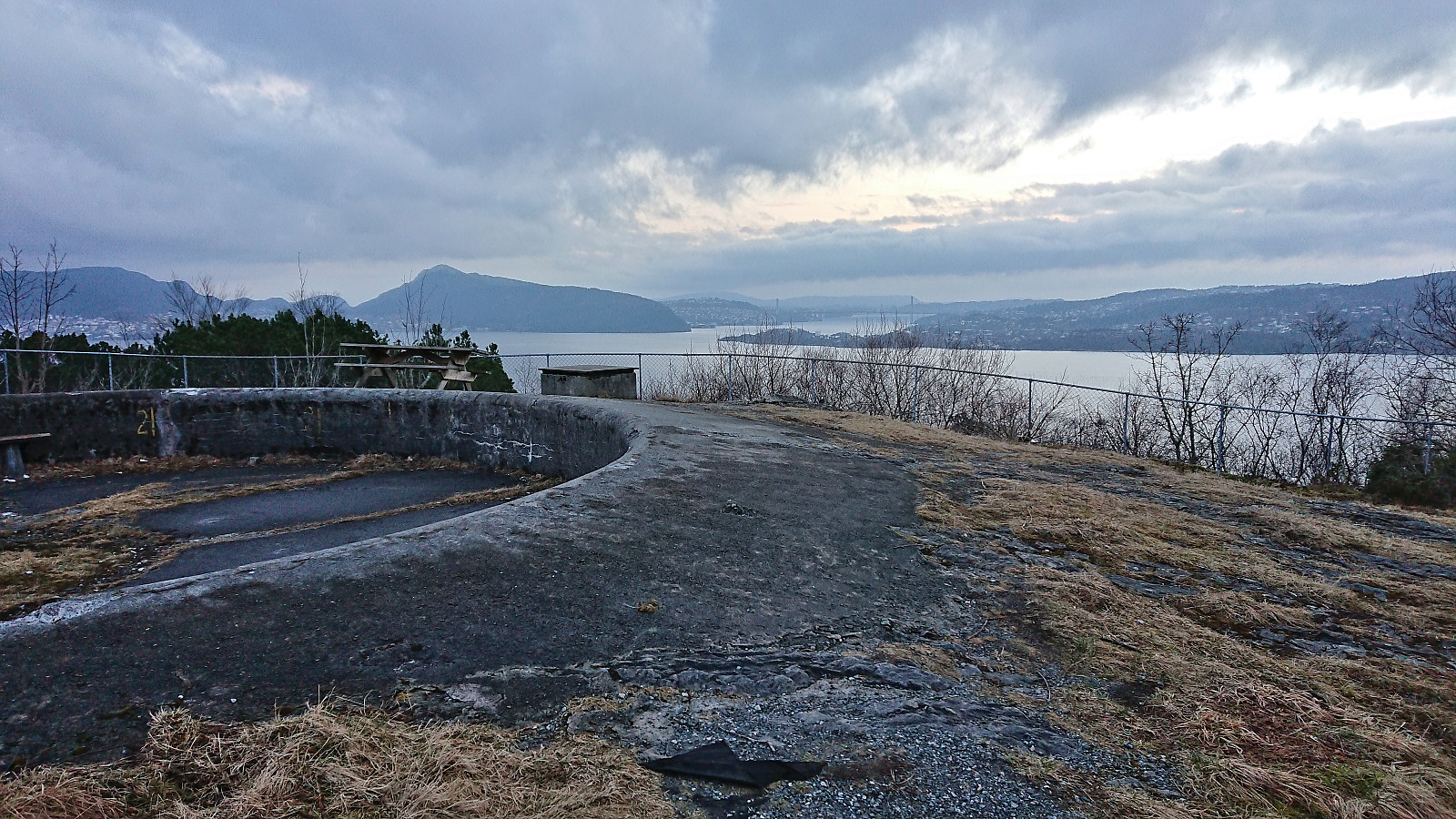 Short local hike after work.
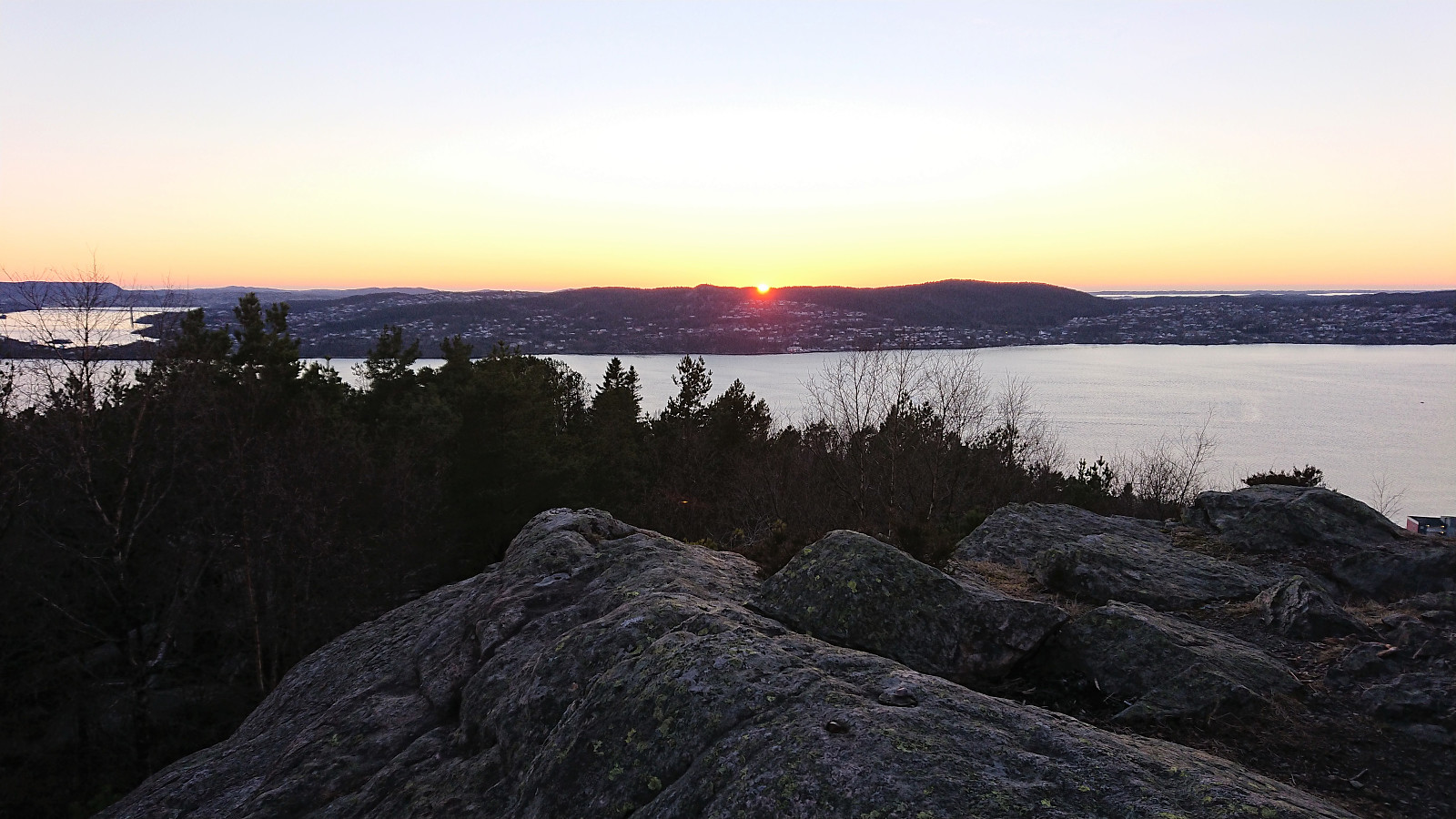
Across Hellen festning
- Dato:
- 13.03.2022
- Turtype:
- Fottur
- Turlengde:
- 0:37t
- Distanse:
- 3,2km
 Short local Sunday hike after spending all of Saturday on a hike in Kvinnherad.
Hovdaberget, Hatlesteinen and Geitaknottane
- Dato:
- 12.03.2022
- Turtype:
- Fjelltur
- Turlengde:
- 5:43t
- Distanse:
- 17,3km
 I started by taking the bus to Gjermundshamn where I ended up taking the bus one stop too far, but thankfully managed to get off before the bus drove onto the ferry. After returning to the crossroads a couple hundred meters to the southwest, I walked along the road to Ølve until reaching the marked trailhead for Blånuten . No sidewalks, but very limited traffic.
I left the road/trail heading for Blånuten at the first crossroads and instead followed a tractor road taking me all the way to Hovdaberget and its spectacular views. Very easy to get to and highly recommended for its excellent views towards the many mountains across the fjord. Especially beautiful at this time of the year due to the snow-capped peaks.
After a quick off-trail visit of the summit of Hjortlandshovda , a major let down after the views at Hovdaberget and >>>
I started by taking the bus to Gjermundshamn where I ended up taking the bus one stop too far, but thankfully managed to get off before the bus drove onto the ferry. After returning to the crossroads a couple hundred meters to the southwest, I walked along the road to Ølve until reaching the marked trailhead for Blånuten . No sidewalks, but very limited traffic.
I left the road/trail heading for Blånuten at the first crossroads and instead followed a tractor road taking me all the way to Hovdaberget and its spectacular views. Very easy to get to and highly recommended for its excellent views towards the many mountains across the fjord. Especially beautiful at this time of the year due to the snow-capped peaks.
After a quick off-trail visit of the summit of Hjortlandshovda , a major let down after the views at Hovdaberget and >>>
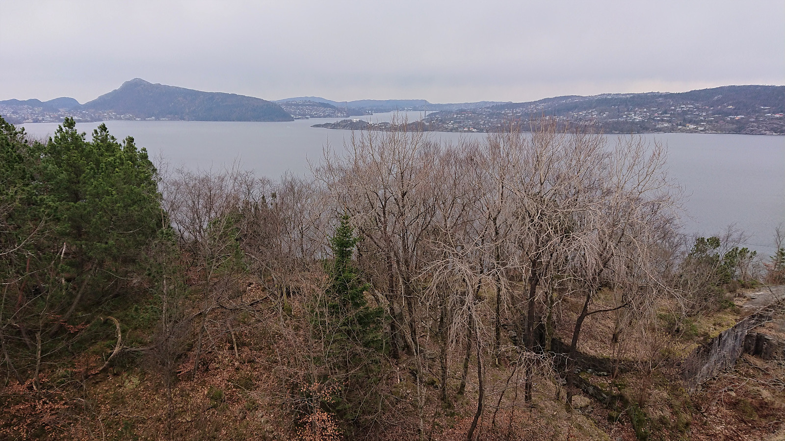
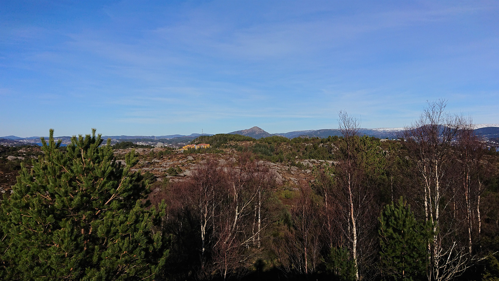
Ørneberget and Hellen festning
- Dato:
- 11.03.2022
- Turtype:
- Fjelltur
- Turlengde:
- 0:58t
- Distanse:
- 4,6km
 Short local hike after work.
Across Hellen festning
- Dato:
- 09.03.2022
- Turtype:
- Fottur
- Turlengde:
- 0:37t
- Distanse:
- 3,0km
 Short local hike after work.
Ørneberget and Ørneberget NV
- Dato:
- 08.03.2022
- Turtype:
- Fjelltur
- Turlengde:
- 0:52t
- Distanse:
- 3,6km
 Short local hike after work. (The GPS stopped working shortly into the hike, and not detect until almost back home, hence no GPS track. See Ørneberget and Ørneberget NV for an identical hike.)
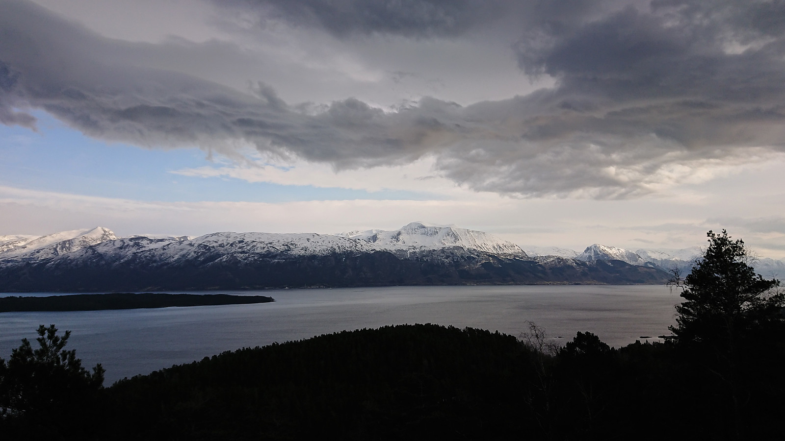
Småbrekkebukken from Småbrekkene
- Dato:
- 06.03.2022
- Turtype:
- Fjellskitur
- Turlengde:
- 5:42t
- Distanse:
- 16,9km
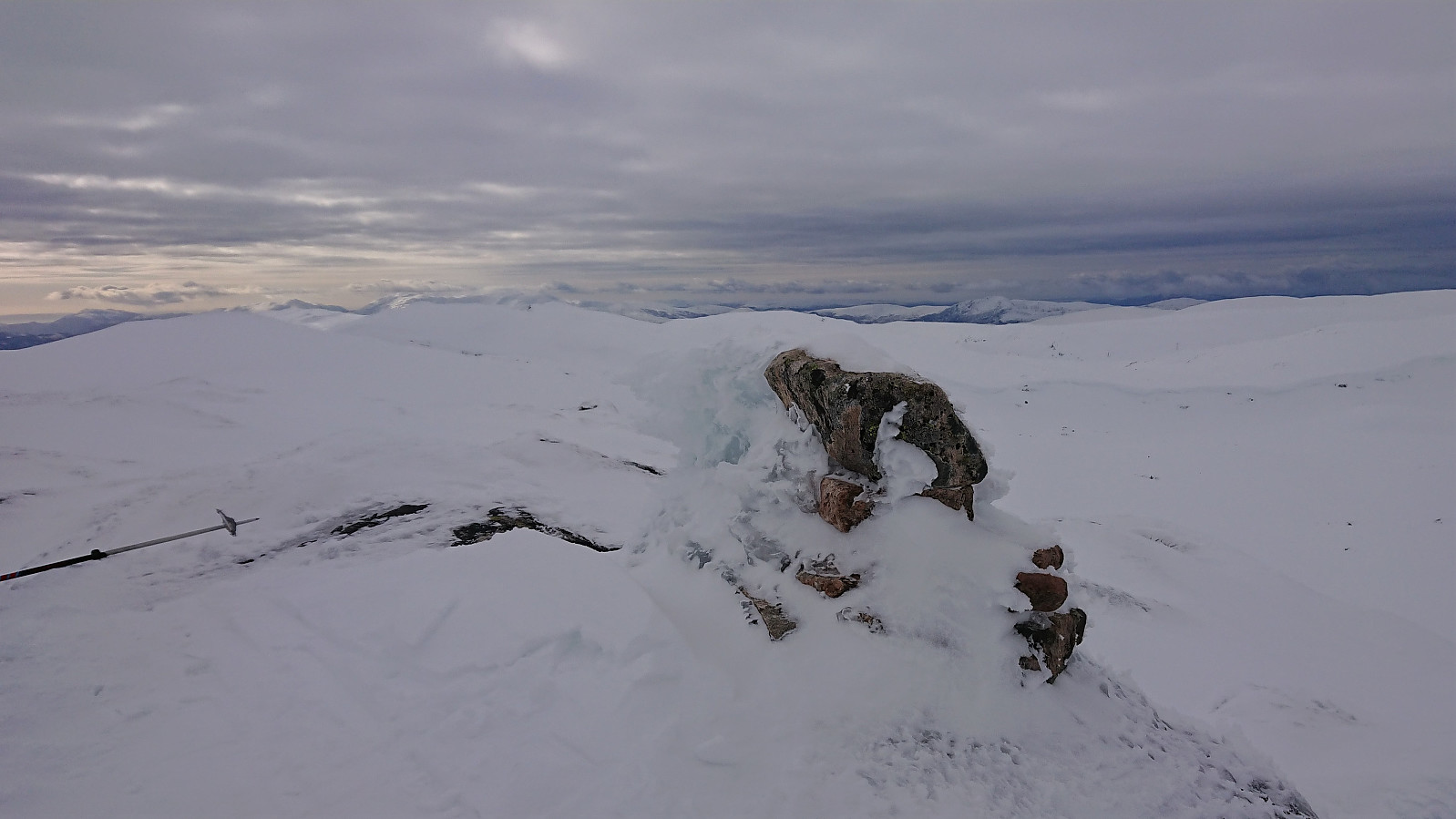 For more than a year, Småbrekkebukken had been my last remaining summit on the Samnanger ≥ 100m pf. list . So when The Norwegian Trekking Association (DNT) , or more specifically Voss Utferdslag , organized a guided skiing trip, I was of course among the first to sign up.
After taking the train to Voss, I joined the others at Holbergsplass, from where we carpooled to Småbrekkene to start the real trip. We initially followed the marked trail/road towards Gullhorgabu , but after a short break northeast of Småbrekkebukken, we had left the marked trail and instead continued up the valley northwest of the summit.
Here we came across an area where most of the snow had been removed by strong winds, and we therefore had to backtrack a bit to find a slightly different route than planned. This however did not present any real issues and after a large U-turn to avoid the steepest areas we soon arrived at the summit, which >>>
For more than a year, Småbrekkebukken had been my last remaining summit on the Samnanger ≥ 100m pf. list . So when The Norwegian Trekking Association (DNT) , or more specifically Voss Utferdslag , organized a guided skiing trip, I was of course among the first to sign up.
After taking the train to Voss, I joined the others at Holbergsplass, from where we carpooled to Småbrekkene to start the real trip. We initially followed the marked trail/road towards Gullhorgabu , but after a short break northeast of Småbrekkebukken, we had left the marked trail and instead continued up the valley northwest of the summit.
Here we came across an area where most of the snow had been removed by strong winds, and we therefore had to backtrack a bit to find a slightly different route than planned. This however did not present any real issues and after a large U-turn to avoid the steepest areas we soon arrived at the summit, which >>>
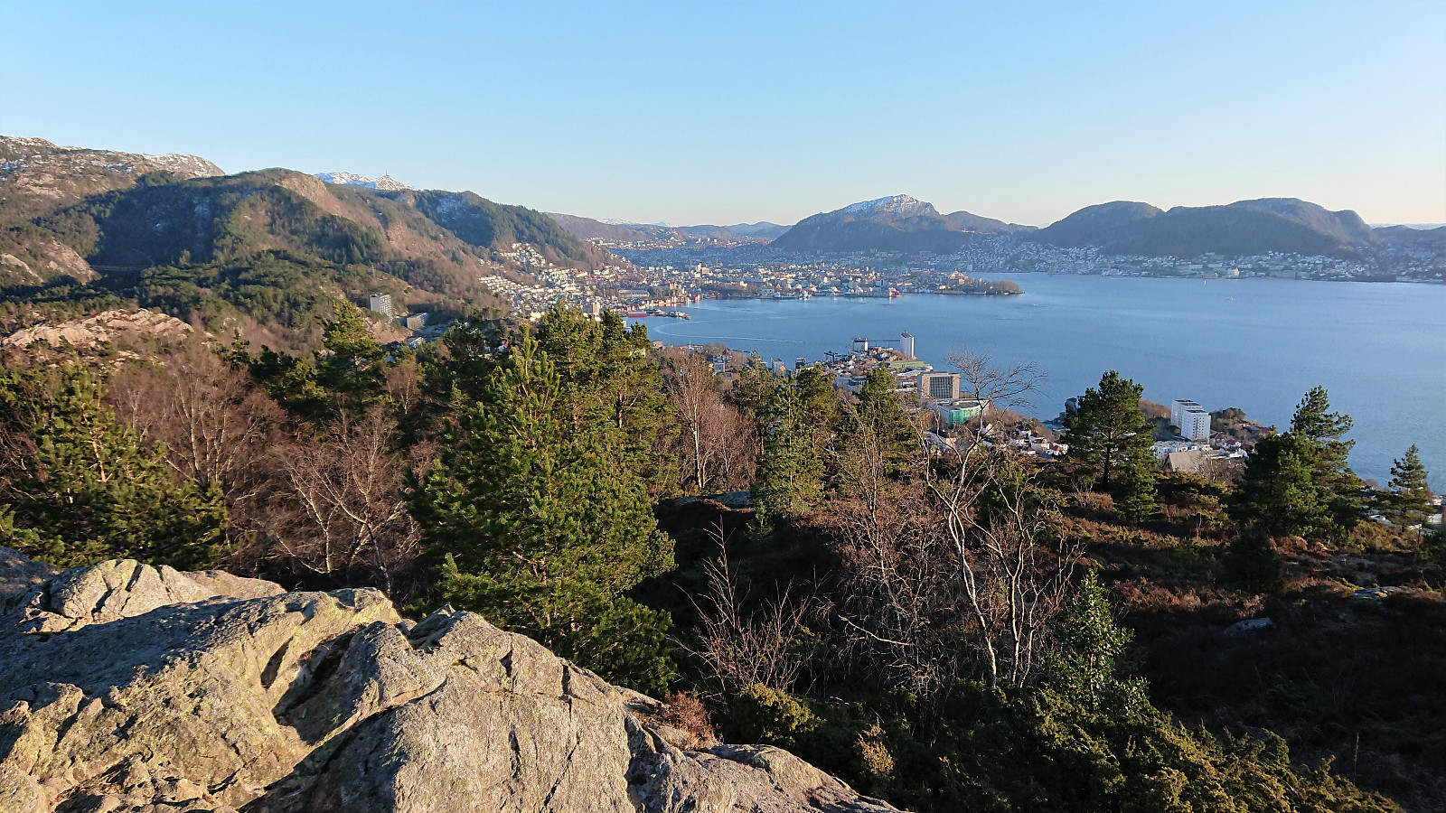
Fagerdalsfjellet and Eidsvågsneset/Furubotn
- Dato:
- 04.03.2022
- Turtype:
- Fjelltur
- Turlengde:
- 0:54t
- Distanse:
- 3,7km
 Short local hike after work including an exploration of the northern tip of Eidsvågsneset/Furubotn, an area I had previously assumed was only available via trespassing. This was however far from the case, and it was even set up as a local recreational area that was easily accessible.
Bjorøyna: Nibben and Rundelen
- Dato:
- 03.03.2022
- Turtype:
- Fjelltur
- Turlengde:
- 0:59t
- Distanse:
- 2,5km
 After our hike at Tyssøyna , we made the short drive to the parking lot in front of Bjorøy skule. From there we walked about 250 meters south along the road to an unmarked trailhead taking us via Langafjellet (although not via the highest point, which is on a small ridge less than 150 meters to the west) to Nibben . Pretty good views from the summit, although not as great as from Varden on Tyssøyna.
So far, the trail had been ok and even had the occasional trail marker, but shortly after turning northeast for Rundelen the trail pretty much disappeared (even though we were following the trail indicated on the map). We did however connect with a marked trail shortly before turning north towards the summit. Hence there should be a better route in between these two summits.
This new trail took us almost to the summit of Rundelen, except >>>
After our hike at Tyssøyna , we made the short drive to the parking lot in front of Bjorøy skule. From there we walked about 250 meters south along the road to an unmarked trailhead taking us via Langafjellet (although not via the highest point, which is on a small ridge less than 150 meters to the west) to Nibben . Pretty good views from the summit, although not as great as from Varden on Tyssøyna.
So far, the trail had been ok and even had the occasional trail marker, but shortly after turning northeast for Rundelen the trail pretty much disappeared (even though we were following the trail indicated on the map). We did however connect with a marked trail shortly before turning north towards the summit. Hence there should be a better route in between these two summits.
This new trail took us almost to the summit of Rundelen, except >>>
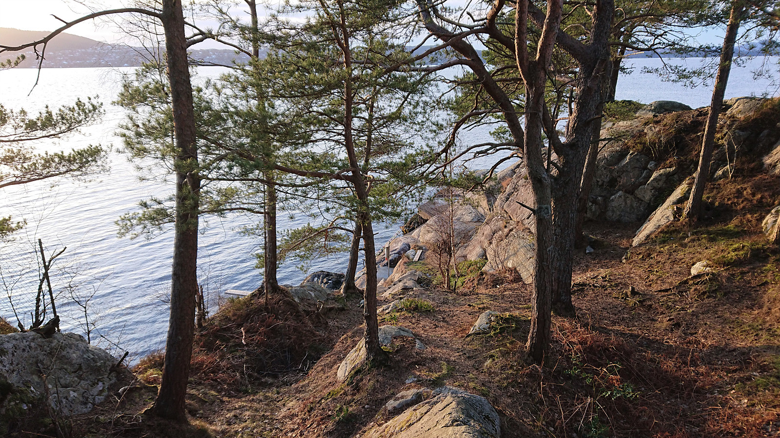
Tyssøyna: Varden and Smivågen
- Dato:
- 03.03.2022
- Turtype:
- Fjelltur
- Turlengde:
- 1:42t
- Distanse:
- 4,7km
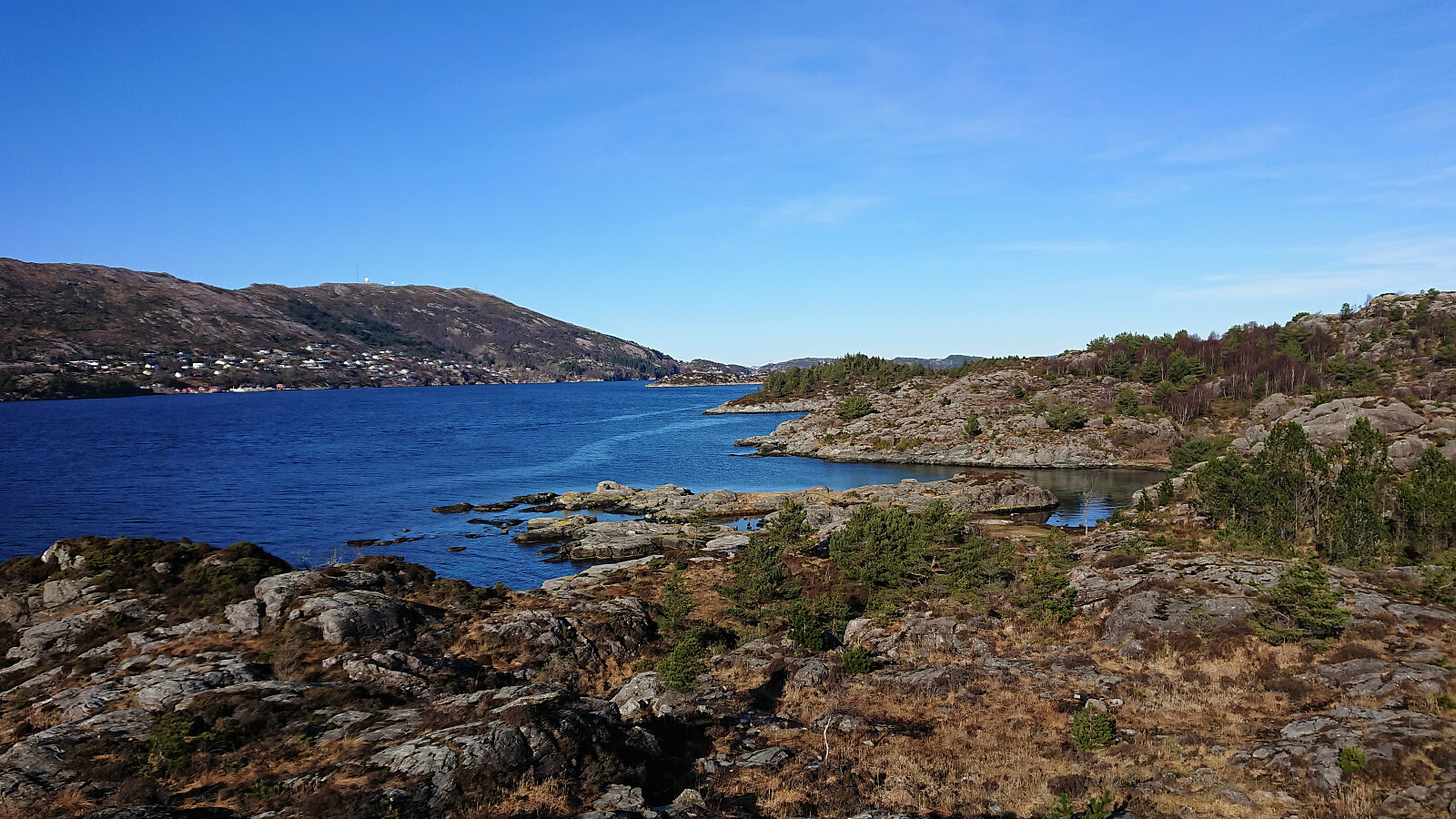 Given the excellent weather forecast, I decided to take half a day of "vinterferie" to explore Tyssøyna and Bjorøyna. First up was Tyssøyna. We parked at Tyssøyna p-plass and from there followed the roads towards the marked trailhead for the short detour to Varden , which provided great views despite being only 80 meters above sea level. We continued south, and later west, still along a marked trail until reconnecting with the gravel road east of the summit. After a visit of Simvågen we followed yet another marked trail along the coast via Skjervika and Tyssøyvågen before getting to the paved road and from there returning to the car. Overall, a very nice short trip that can be highly recommended.
