Arkiv - dato
Arkiv - aktivitet
-
Annen tur (3)
- Kajakkpadling (3)
- Fottur (1897)
-
Kjøretur (9)
- Biltur (9)
-
Skitur (116)
- Fjellskitur (69)
- Langrennstur (47)
-
Sykkeltur (111)
- Blandet sykling (25)
- Gatesykling (86)
Lister jeg samler etter
-
Utvalgte topper og turmål i Bergen
(349/351)
 99%
99% -
Alle topper i Bergen
(393/400)
98%
-
Voss ≥ 100m pf.
(96/98)
97%
-
Opptur Hordaland
(144/159)
90%
-
Stasjoner på Bergensbanen
(33/40)
82%
-
Ulvik ≥ 100m pf.
(30/38)
78%
-
Hordaland ≥ 100m pf.
(624/863)
72%
-
Mjølfjell PF > 100m
(21/31)
67%
-
Jondal ≥ 100m pf.
(15/23)
65%
-
Dagsturhyttene i Vestland
(36/61)
59%
-
Sunnhordland PF >= 100m
(105/186)
56%
-
Hordaland: Hardanger PF>=100m
(196/359)
54%
-
DNT-hytter i Hordaland
(23/45)
51%
-
Kvinnherad ≥ 100m pf.
(40/79)
50%
-
Eidfjord ≥ 100m pf.
(13/42)
30%
-
Sogndal ≥ 100m pf.
(23/81)
28%
-
Gulen ≥ 100m pf.
(15/54)
27%
-
Vik i Sogn ≥ 100m pf.
(10/46)
21%
-
Sogn - Sør for Sognefjorden PF>=100m
(31/159)
19%
-
DNT-hytter i Sogn og Fjordane
(8/47)
17%

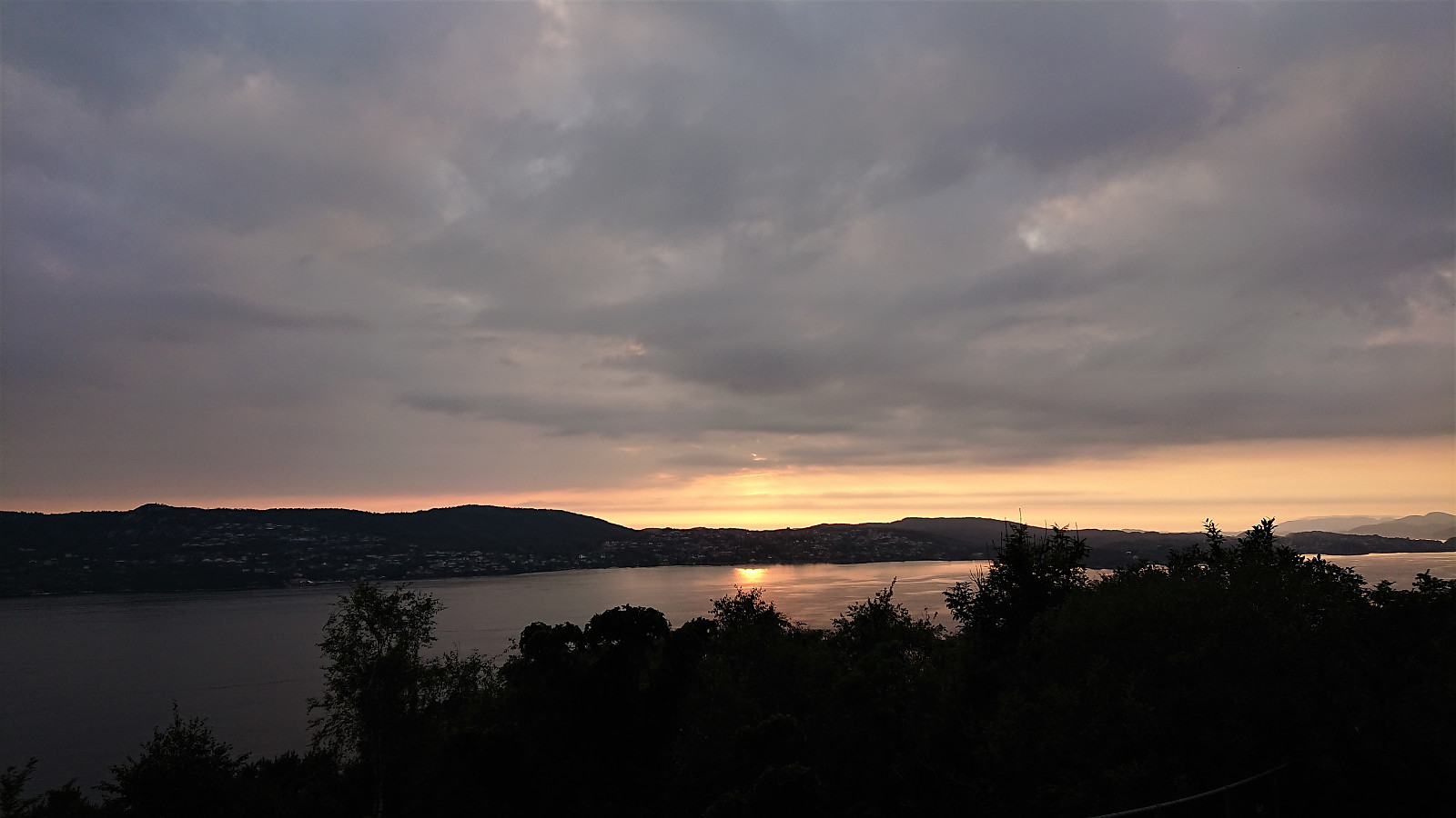
Sandviksfjellet
- Dato:
- 18.08.2020
- Turtype:
- Fjelltur
- Turlengde:
- 2:29t
- Distanse:
- 12,2km
 Local evening hike.
Ørneberget and Rognåsen
- Dato:
- 17.08.2020
- Turtype:
- Fjelltur
- Turlengde:
- 1:28t
- Distanse:
- 6,0km
 Short local evening hike after work.
Tverrvassfjellet from Gamlesæter
- Dato:
- 16.08.2020
- Turtype:
- Fjelltur
- Turlengde:
- 7:12t
- Distanse:
- 19,0km
 On this very warm late August Sunday, I stared by taking the bus to Gamlesæter and from there walking north along the main road for about 500 meters (mainly outside of the guard rails, except for the short stretch across the bridge). Next, I followed the road up Stussdalen to the parking lot at Øvre Sætravatnet , where I shortly after met the only two people I would see for the entire hike.
After crossing the bridge in between Nedre and Øvre Sætravatnet, I continued on the unmarked northern trail towards Steinsetdalssætret , deciding to stay on the trail all the way until reaching the small lake next to the trail at 551 meters above sea level, where I took a break before continuing off-trail towards the summit of Tverrvassfjellet .
In order to avoid the steepest areas, I first headed north and later turned northwest aiming more directly for the highest point. >>>
On this very warm late August Sunday, I stared by taking the bus to Gamlesæter and from there walking north along the main road for about 500 meters (mainly outside of the guard rails, except for the short stretch across the bridge). Next, I followed the road up Stussdalen to the parking lot at Øvre Sætravatnet , where I shortly after met the only two people I would see for the entire hike.
After crossing the bridge in between Nedre and Øvre Sætravatnet, I continued on the unmarked northern trail towards Steinsetdalssætret , deciding to stay on the trail all the way until reaching the small lake next to the trail at 551 meters above sea level, where I took a break before continuing off-trail towards the summit of Tverrvassfjellet .
In order to avoid the steepest areas, I first headed north and later turned northwest aiming more directly for the highest point. >>>
Munkebotn and Furukammen
- Dato:
- 15.08.2020
- Turtype:
- Fottur
- Turlengde:
- 1:53t
- Distanse:
- 8,3km
 Short local hike after yesterday's long excursion in Osterfjorden.
Verafjellet
- Dato:
- 14.08.2020
- Turtype:
- Fjelltur
- Turlengde:
- 1:33t
- Distanse:
- 2,8km
 After visiting the three island-summits at Paddøy and Hokøy, there was time for also including a visit to Verafjellet , another summit most easily reached by boat. I was dropped off at the private dock at Langeneset, made slightly more challenging by there already being a large boat docked there. Did not see any people though and the building 50 meters from the shore also looked rather abandoned.
Previous trip reports showed that there are no trails and indicated a key location I ought to hit on the ascent. With this in mind, I therefore used elbow (Vegard Magnussen) 's GPS-track as a rough guide, thus hitting the important key location straight on. From there the summit was relatively easy to reach, although the terrain's many ups and downs required more of a detour than I had perhaps expected.
Limited views from the summit itself. >>>
After visiting the three island-summits at Paddøy and Hokøy, there was time for also including a visit to Verafjellet , another summit most easily reached by boat. I was dropped off at the private dock at Langeneset, made slightly more challenging by there already being a large boat docked there. Did not see any people though and the building 50 meters from the shore also looked rather abandoned.
Previous trip reports showed that there are no trails and indicated a key location I ought to hit on the ascent. With this in mind, I therefore used elbow (Vegard Magnussen) 's GPS-track as a rough guide, thus hitting the important key location straight on. From there the summit was relatively easy to reach, although the terrain's many ups and downs required more of a detour than I had perhaps expected.
Limited views from the summit itself. >>>
Hokøy Sørtoppen
- Dato:
- 14.08.2020
- Turlengde:
- 0:29t
- Distanse:
- 1,2km
 The visit of Hokøy Nordtoppen was followed by a short boat ride to Pynten for the day's second hike at Hokøy. Again the brief use of the private dock made it easy to get ashore and I soon passed the single building at Pynten, which seemed well-maintained, although I did not take a closer look.
I ended up heading too far southwest, and thus had to rely on some light climbing in order to avoid backtracking. Unlike the positive experience at Hokøy Nordtoppen , I here failed to locate any trails, and also had to fight my way through several bush-covered areas before the terrain open up higher up. The summit itself was not marked, and provided limited views due to lots of trees. However, much better views could be obtained just west of the summit, which was marked by a small cairn. I did not stay long before returning along the same >>>
The visit of Hokøy Nordtoppen was followed by a short boat ride to Pynten for the day's second hike at Hokøy. Again the brief use of the private dock made it easy to get ashore and I soon passed the single building at Pynten, which seemed well-maintained, although I did not take a closer look.
I ended up heading too far southwest, and thus had to rely on some light climbing in order to avoid backtracking. Unlike the positive experience at Hokøy Nordtoppen , I here failed to locate any trails, and also had to fight my way through several bush-covered areas before the terrain open up higher up. The summit itself was not marked, and provided limited views due to lots of trees. However, much better views could be obtained just west of the summit, which was marked by a small cairn. I did not stay long before returning along the same >>>
Hokøy Nordtoppen
- Dato:
- 14.08.2020
- Turtype:
- Fjelltur
- Turlengde:
- 0:28t
- Distanse:
- 1,5km
 After the visit of Storgjelsknausen , I was picked up and transported to Liabakken for the ascent to Hokøy Nordtoppen .
Briefly borrowing the private dock made it straightforward to get ashore, from where I followed the road up to the three farm buildings indicated on the map. I did not see any people today, but there was clear evidence of recent activity and several sheep.
Just northwest of the three buildings I found a weak trail that soon turned less weak and even included what looked like old man-made steps. By following this trail I quickly arrived at the summit marked by a small antenna making an annoying high-pitched noise.
I therefore did not stay long before starting my descent, only making a quick detour to the southern tip of the summit area to check out the views from there as well.
Overall, a short easy hike, taking >>>
After the visit of Storgjelsknausen , I was picked up and transported to Liabakken for the ascent to Hokøy Nordtoppen .
Briefly borrowing the private dock made it straightforward to get ashore, from where I followed the road up to the three farm buildings indicated on the map. I did not see any people today, but there was clear evidence of recent activity and several sheep.
Just northwest of the three buildings I found a weak trail that soon turned less weak and even included what looked like old man-made steps. By following this trail I quickly arrived at the summit marked by a small antenna making an annoying high-pitched noise.
I therefore did not stay long before starting my descent, only making a quick detour to the southern tip of the summit area to check out the views from there as well.
Overall, a short easy hike, taking >>>
Storgjelsknausen
- Dato:
- 14.08.2020
- Turtype:
- Fjelltur
- Turlengde:
- 1:49t
- Distanse:
- 4,4km
 Part one of today's excursion to hard-to-reach island peaks in Osterfjorden. Starting from Litlebergen, it took us about 45 minutes to reach Midtsundet and Hatlehaug, in the process leaving the fog and low-handing clouds behind and replacing them with sun and blue sky.
My friend and colleague did not have much interest in joining me on my visits to these rather special-interest peaks, hence he stayed in the boat and had a go at fishing instead. The initial plan had therefore been for him to drop me off at Setervika, but this option was quickly rejected and I was instead put ashore at the private dock in front of the southern-most cabin at Hatlehaug.
This last-minute change required some minor trespassing to get behind the cabin, but it soon turned more challenging given the small vertical drop >>>
Part one of today's excursion to hard-to-reach island peaks in Osterfjorden. Starting from Litlebergen, it took us about 45 minutes to reach Midtsundet and Hatlehaug, in the process leaving the fog and low-handing clouds behind and replacing them with sun and blue sky.
My friend and colleague did not have much interest in joining me on my visits to these rather special-interest peaks, hence he stayed in the boat and had a go at fishing instead. The initial plan had therefore been for him to drop me off at Setervika, but this option was quickly rejected and I was instead put ashore at the private dock in front of the southern-most cabin at Hatlehaug.
This last-minute change required some minor trespassing to get behind the cabin, but it soon turned more challenging given the small vertical drop >>>
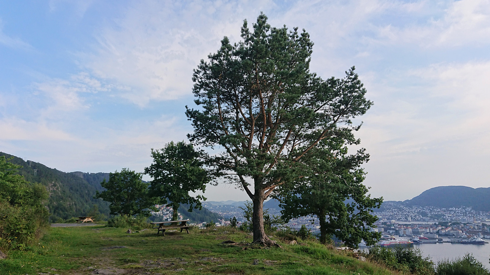
Across Hellen festning
- Dato:
- 13.08.2020
- Turtype:
- Fottur
- Turlengde:
- 0:36t
- Distanse:
- 3,1km
 Short local evening hike.
Sandviksbatteriet
- Dato:
- 12.08.2020
- Turtype:
- Fottur
- Turlengde:
- 1:52t
- Distanse:
- 8,9km
 Local evening hike after work.
