Arkiv - dato
Arkiv - aktivitet
-
Annen tur (3)
- Kajakkpadling (3)
- Fottur (1897)
-
Kjøretur (9)
- Biltur (9)
-
Skitur (116)
- Fjellskitur (69)
- Langrennstur (47)
-
Sykkeltur (111)
- Blandet sykling (25)
- Gatesykling (86)
Lister jeg samler etter
-
Utvalgte topper og turmål i Bergen
(349/351)
 99%
99% -
Alle topper i Bergen
(393/400)
98%
-
Voss ≥ 100m pf.
(96/98)
97%
-
Opptur Hordaland
(144/159)
90%
-
Stasjoner på Bergensbanen
(33/40)
82%
-
Ulvik ≥ 100m pf.
(30/38)
78%
-
Hordaland ≥ 100m pf.
(624/863)
72%
-
Mjølfjell PF > 100m
(21/31)
67%
-
Jondal ≥ 100m pf.
(15/23)
65%
-
Dagsturhyttene i Vestland
(36/61)
59%
-
Sunnhordland PF >= 100m
(105/186)
56%
-
Hordaland: Hardanger PF>=100m
(196/359)
54%
-
DNT-hytter i Hordaland
(23/45)
51%
-
Kvinnherad ≥ 100m pf.
(40/79)
50%
-
Eidfjord ≥ 100m pf.
(13/42)
30%
-
Sogndal ≥ 100m pf.
(23/81)
28%
-
Gulen ≥ 100m pf.
(15/54)
27%
-
Vik i Sogn ≥ 100m pf.
(10/46)
21%
-
Sogn - Sør for Sognefjorden PF>=100m
(31/159)
19%
-
DNT-hytter i Sogn og Fjordane
(8/47)
17%

Beljaråsen
- Dato:
- 26.10.2019
- Turtype:
- Fjelltur
- Turlengde:
- 1:00t
- Distanse:
- 3,9km
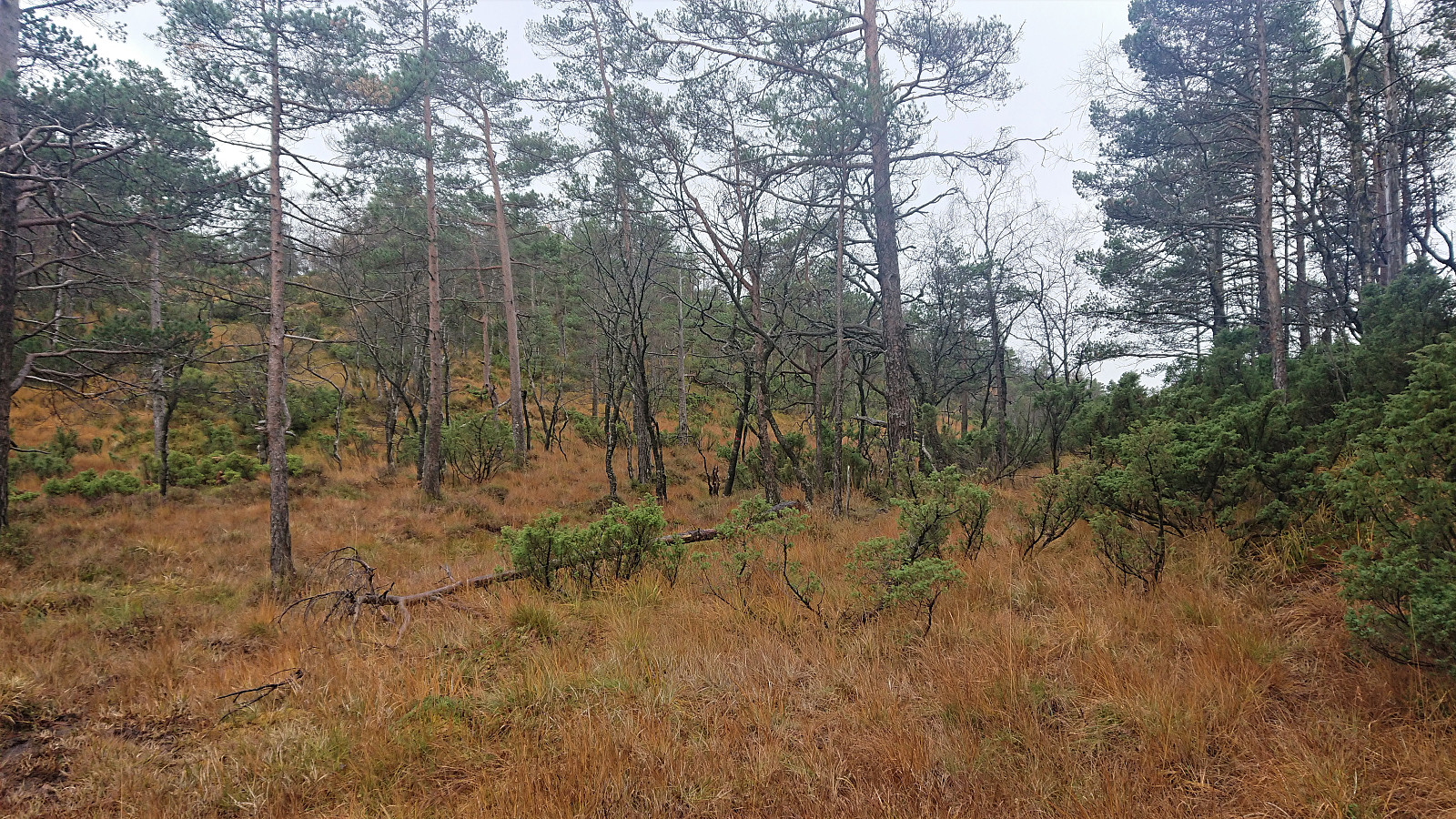
 Given that Endre ( Fjellsamleren (Endre Myrdal Olsen) ) had not yet visited Beljaråsen , and given that we were very close after completing our hike to Dormannsnipen , he managed to convince me to join him for my second visit. This time ascending via the old tractor road east of the summit, which when ending turned into a trail that easily took us all the way to the summit. We returned along the same route, as I suggested avoiding the "shortcut" me and Helwig ( HHauser (Helwig Hauser) ) used on our previous visit: Skarsnuten, Vardafjellet, Grytefjellet and Beljaråsen .
Dormannsnipen
- Dato:
- 26.10.2019
- Turtype:
- Fjelltur
- Turlengde:
- 1:10t
- Distanse:
- 3,4km
 On a rainy Saturday morning, me and Endre ( Fjellsamleren (Endre Myrdal Olsen) ) decided to postpone our planned hike to Skrott until tomorrow and instead spend this day visiting a couple of smaller peaks along Samnanger-/Eikelandsfjorden. The first being Dormannsnipen . Upon arriving at Hafskordalen Parkering we noticed one other car, which turned out to contain a deer hunter and three kids. They were just about to go hunting in the area north of Dormannsnipen and were more than willing to show us the way, as long as we did not move too far north after visiting the summit.
We were more than happy with this arrangement and soon found ourselves following the hunters along a weak unmarked trail, with a hidden trailhead that we probably would not have found on our own. The trail was very wet and did not head straight for the summit, but it is most likely still the easiest >>>
On a rainy Saturday morning, me and Endre ( Fjellsamleren (Endre Myrdal Olsen) ) decided to postpone our planned hike to Skrott until tomorrow and instead spend this day visiting a couple of smaller peaks along Samnanger-/Eikelandsfjorden. The first being Dormannsnipen . Upon arriving at Hafskordalen Parkering we noticed one other car, which turned out to contain a deer hunter and three kids. They were just about to go hunting in the area north of Dormannsnipen and were more than willing to show us the way, as long as we did not move too far north after visiting the summit.
We were more than happy with this arrangement and soon found ourselves following the hunters along a weak unmarked trail, with a hidden trailhead that we probably would not have found on our own. The trail was very wet and did not head straight for the summit, but it is most likely still the easiest >>>
Mykkeltveitveten from Evanger (roundtrip)
- Dato:
- 20.10.2019
- Turtype:
- Fjelltur
- Turlengde:
- 6:05t
- Distanse:
- 20,5km
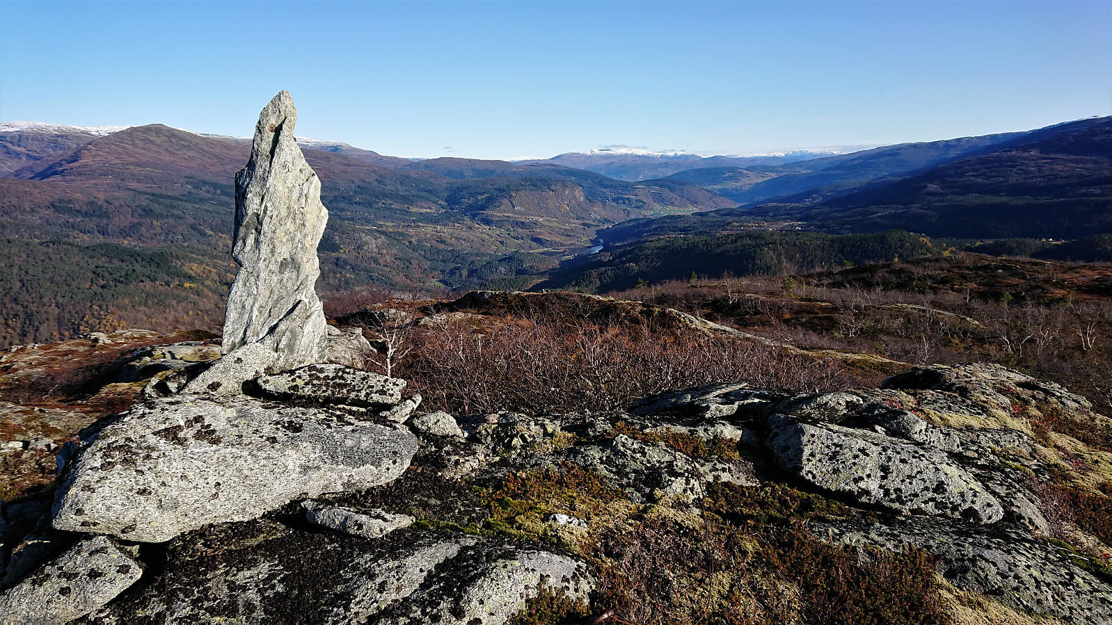 Took the train to Evanger and from there walked along the gravel road up Vossedalen. The gravel road continued much longer than expected and did not come to an end until around 800 meters north of Vossedalstølen . When the road ended I realized that I had missed the start of the trail 200 meters earlier, but instead of going back I headed diagonally southwest, assuming I would connect with the trail soon enough.
A sign at the start of the hike had indicated that there should be a marked trail, but while the trail I soon came across was marked with a red T, this would be the only marker I would find. Not too long after passing Vossedalstølen the trail pretty much disappeared completely, and though I made attempts at relocating it, I could not find any traces of it.
I still more or less followed the route of >>>
Took the train to Evanger and from there walked along the gravel road up Vossedalen. The gravel road continued much longer than expected and did not come to an end until around 800 meters north of Vossedalstølen . When the road ended I realized that I had missed the start of the trail 200 meters earlier, but instead of going back I headed diagonally southwest, assuming I would connect with the trail soon enough.
A sign at the start of the hike had indicated that there should be a marked trail, but while the trail I soon came across was marked with a red T, this would be the only marker I would find. Not too long after passing Vossedalstølen the trail pretty much disappeared completely, and though I made attempts at relocating it, I could not find any traces of it.
I still more or less followed the route of >>>
Hellen festning, Furukammen and Sandviksbatteriet
- Dato:
- 19.10.2019
- Turtype:
- Fottur
- Turlengde:
- 2:01t
- Distanse:
- 9,5km
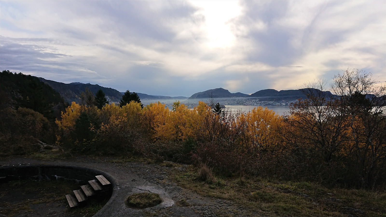 Local hike in nice October weather.
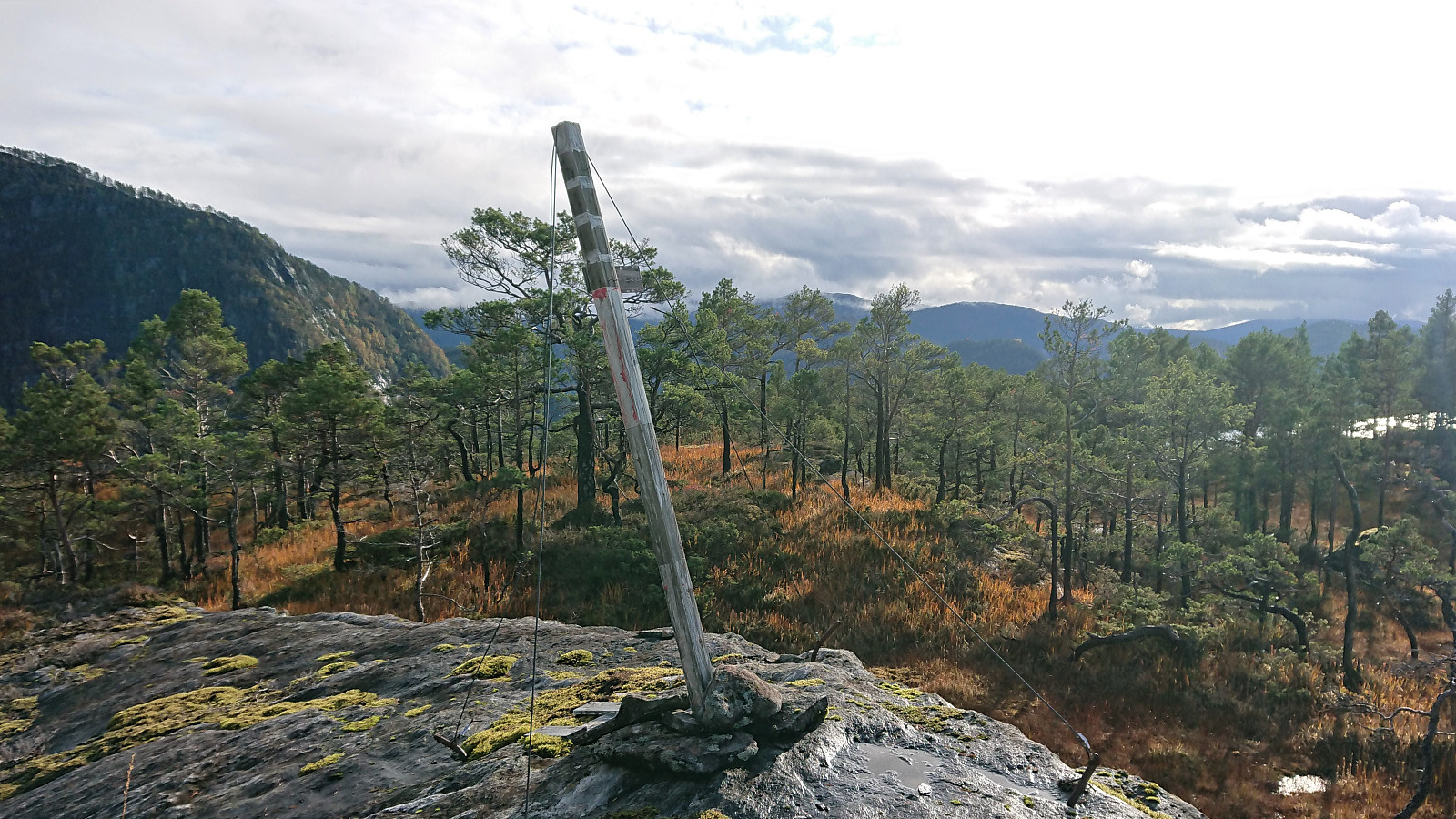
Bergsfjellet
- Dato:
- 17.10.2019
- Turtype:
- Fjelltur
- Turlengde:
- 3:12t
- Distanse:
- 11,2km
 Yet another meeting ending at Solstrand, meant, as usual, yet another hike in Fusa. Today's goal being Bergsfjellet , including an attempt at making the hike into something close to a roundtrip by following this hike suggestion by Fusa kommune: https://ut.no/turforslag/1110763/bergsfjellet , albeit in the reverse order.
I started by taking the bus (and ferry) to the bus stop “Dorganeset”, and from there followed the gravel road along Lammanesheiane, quickly coming across a sign with information about the same roundtrip hike (but with one important detail that I will come back to later). The gravel road later turned into a tractor road, getting rougher the higher up I got. After around 3 km (at about 300 meters above sea level) the tractor road (or rather the tractor tracks, as there was little to no actual road left at this point) split. The road >>>
Yet another meeting ending at Solstrand, meant, as usual, yet another hike in Fusa. Today's goal being Bergsfjellet , including an attempt at making the hike into something close to a roundtrip by following this hike suggestion by Fusa kommune: https://ut.no/turforslag/1110763/bergsfjellet , albeit in the reverse order.
I started by taking the bus (and ferry) to the bus stop “Dorganeset”, and from there followed the gravel road along Lammanesheiane, quickly coming across a sign with information about the same roundtrip hike (but with one important detail that I will come back to later). The gravel road later turned into a tractor road, getting rougher the higher up I got. After around 3 km (at about 300 meters above sea level) the tractor road (or rather the tractor tracks, as there was little to no actual road left at this point) split. The road >>>
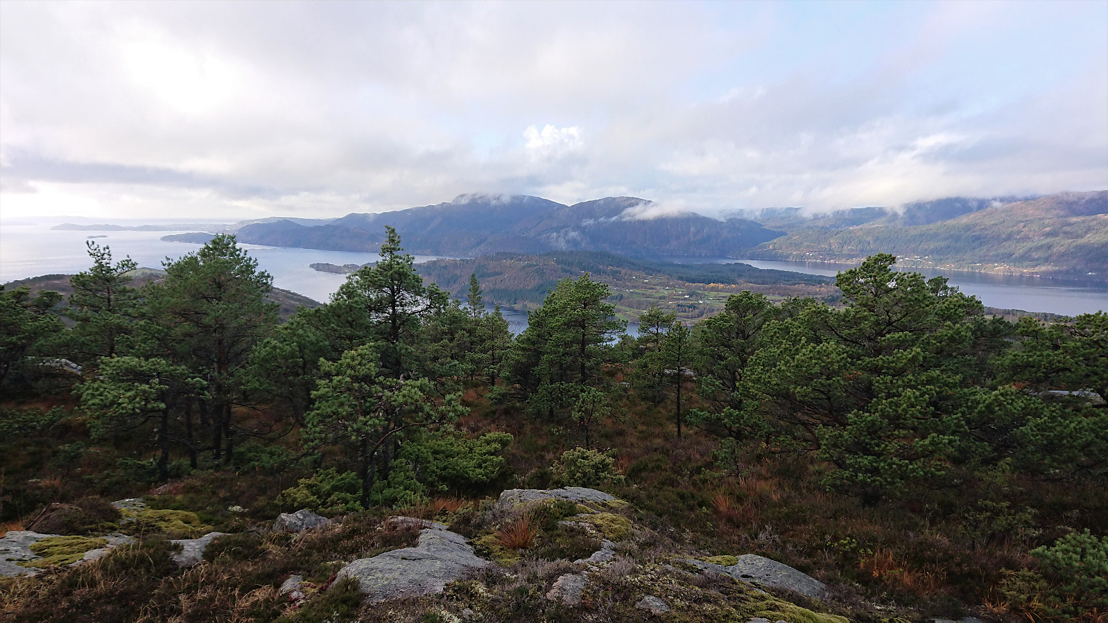
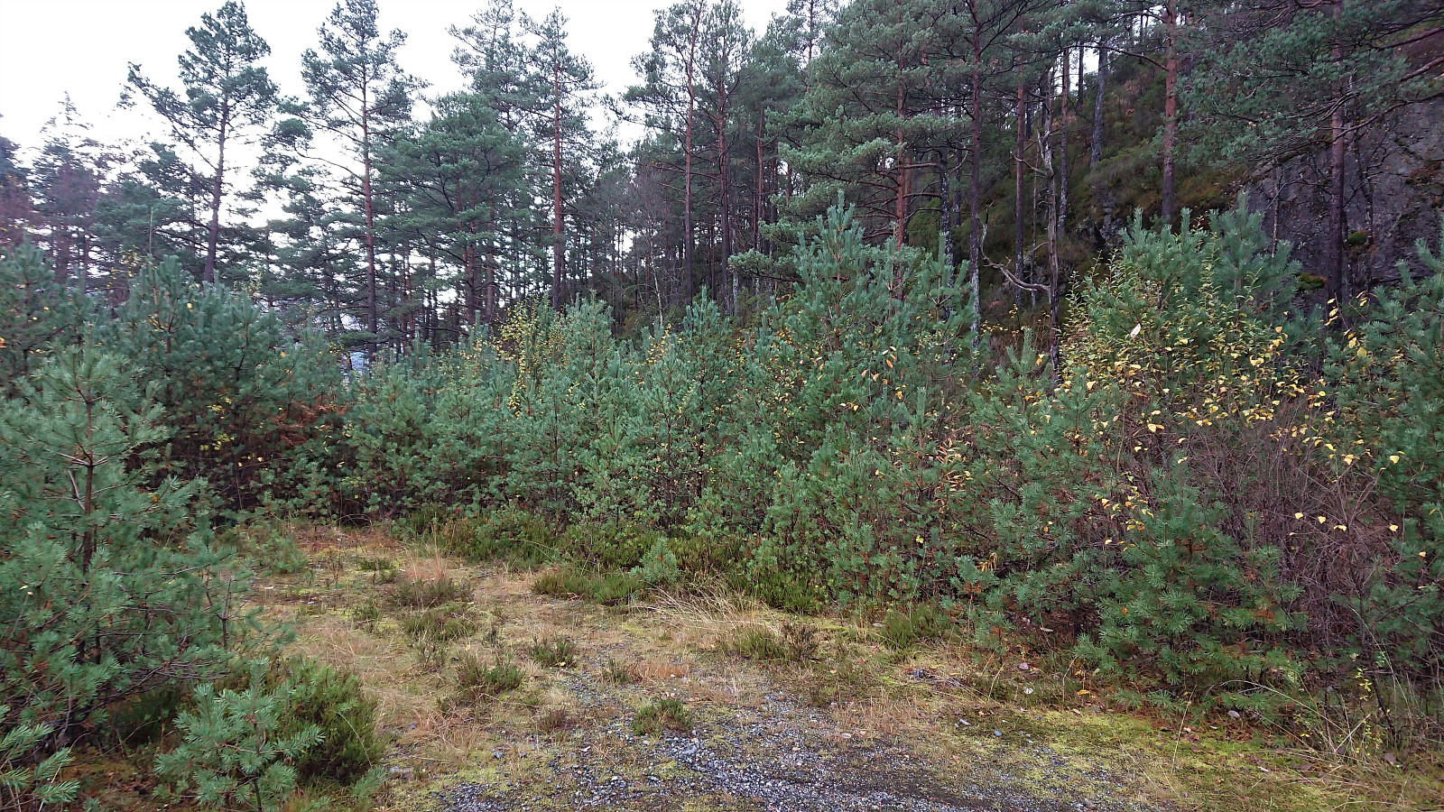
Storfjellet (Lindås)
- Dato:
- 13.10.2019
- Turtype:
- Fjelltur
- Turlengde:
- 0:33t
- Distanse:
- 1,9km
 On the way back to Bergen from our hike to Blåfjellet and Storevarden from Olsbotnen me and Fjellsamleren (Endre Myrdal Olsen) made a quick visit to the rather oddly named Storfjellet , reaching the summit only 15 minutes after leaving the car, first along an old tractor road and then off-trail in wet but easy terrain. Limited views from the summit, except for nice views towards Stussfjellet . It may however be possible to obtain better views across Romarheimsfjorden if continuing south beyond the summit, but we did not have the time to explore this possibility today, and instead quickly returned to the car, following more or less the same route as for the ascent.
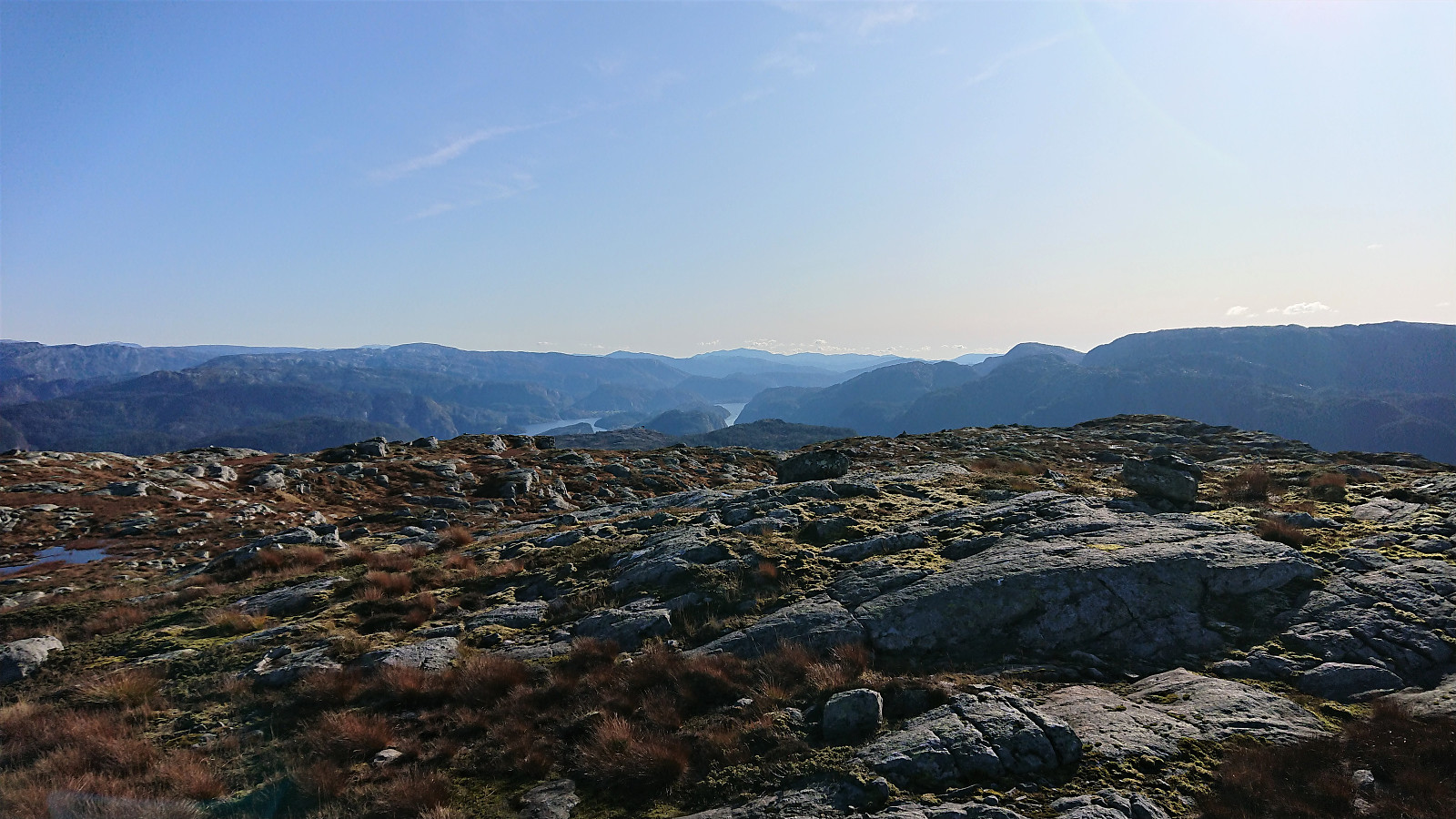
Blåfjellet and Storevarden from Olsbotnen
- Dato:
- 13.10.2019
- Turtype:
- Fjelltur
- Turlengde:
- 3:48t
- Distanse:
- 13,0km
 My first hike together with Endre started with us driving to Olsbotnen where we, after parking on a small parking lot/side road, were welcomed by a sign stating that "the marked trail to Stussdalen has been shut down" (Norwegian: nedlagt). I remembered seeing a similar sign in Stussdalen for the trail going in the opposite direction. But given that the sign did not say that the trail was closed, we assumed it just meant that the markings were no longer maintained, and decided to still give it a go.
After crossing the small river on an old concrete bridge, we quickly lost the trail and had to make our own way for a couple hundred meters before suddenly reconnecting with the trail. And while the trail may no longer be marked with red paint, there were still plenty of small cairns to follow >>>
My first hike together with Endre started with us driving to Olsbotnen where we, after parking on a small parking lot/side road, were welcomed by a sign stating that "the marked trail to Stussdalen has been shut down" (Norwegian: nedlagt). I remembered seeing a similar sign in Stussdalen for the trail going in the opposite direction. But given that the sign did not say that the trail was closed, we assumed it just meant that the markings were no longer maintained, and decided to still give it a go.
After crossing the small river on an old concrete bridge, we quickly lost the trail and had to make our own way for a couple hundred meters before suddenly reconnecting with the trail. And while the trail may no longer be marked with red paint, there were still plenty of small cairns to follow >>>
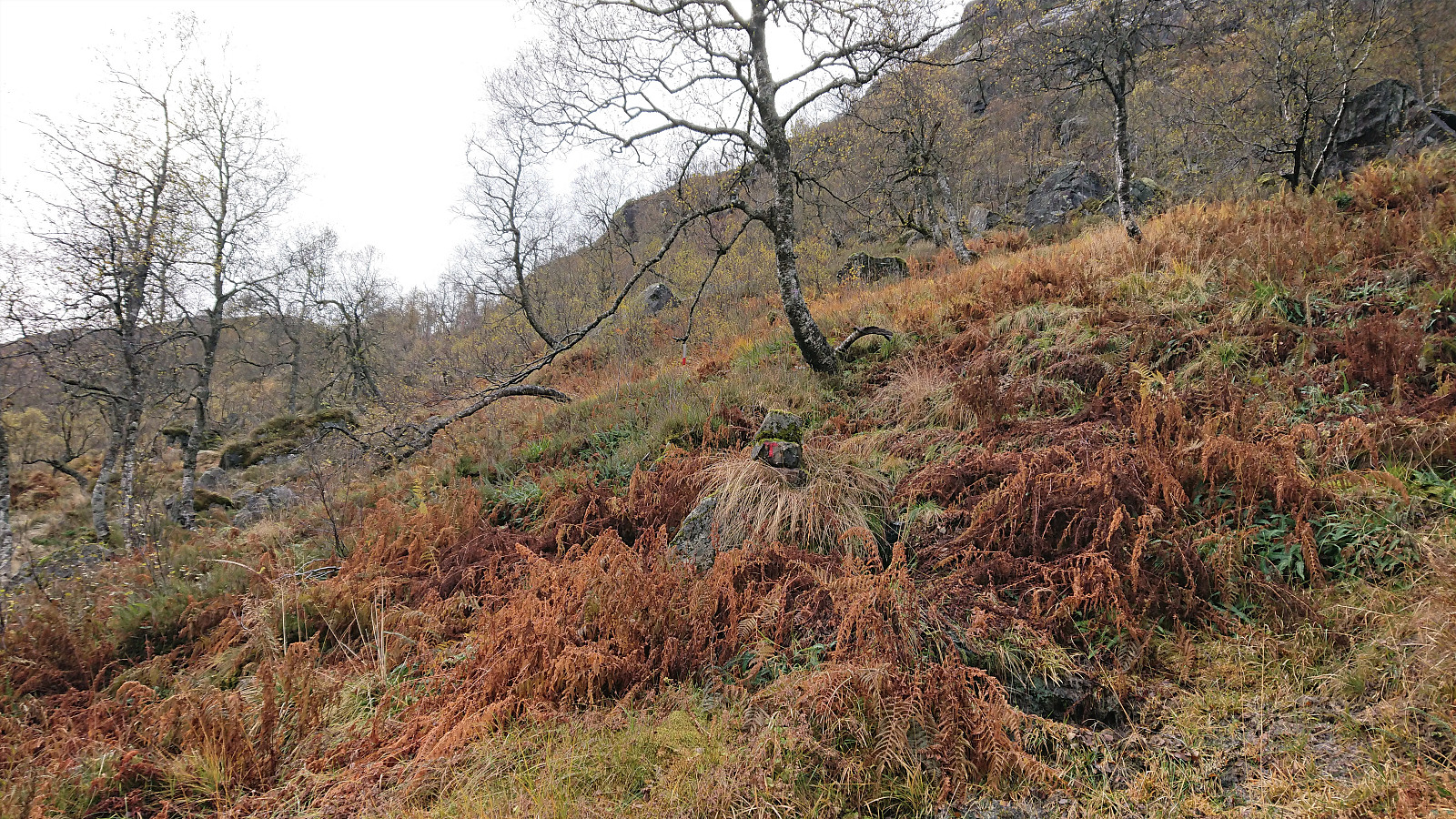
Gråsida, Steinhusfjellet and Stussfjellet
- Dato:
- 06.10.2019
- Turtype:
- Fjelltur
- Turlengde:
- 5:05t
- Distanse:
- 16,4km
 A return to Stussdalen, but this time on my own and without a car, thus the hike started from the bus stop at Gamlesæter and with a walk up Stussdalen. Just before the road turns north towards the parking lot at Øvre Sætravatnet I crossed the small river and headed south, coming across some deer tracks, but mainly having to find my own way.
I took the advice from knutsverre (Knut S. Andersen) 's trip report and waited a bit before finally turning southwest towards the summit of Gråsida . My ascent was therefore straightforward and did not present any challenges. I still conferred with my GPS several times though, as even after leaving the trees behind the exact direction for the summit was not obvious, given the several options to choose from.
When getting closer, the summit was however clearly marked by a large cairn and the thus easy to spot. From the cairn I moved west, >>>
A return to Stussdalen, but this time on my own and without a car, thus the hike started from the bus stop at Gamlesæter and with a walk up Stussdalen. Just before the road turns north towards the parking lot at Øvre Sætravatnet I crossed the small river and headed south, coming across some deer tracks, but mainly having to find my own way.
I took the advice from knutsverre (Knut S. Andersen) 's trip report and waited a bit before finally turning southwest towards the summit of Gråsida . My ascent was therefore straightforward and did not present any challenges. I still conferred with my GPS several times though, as even after leaving the trees behind the exact direction for the summit was not obvious, given the several options to choose from.
When getting closer, the summit was however clearly marked by a large cairn and the thus easy to spot. From the cairn I moved west, >>>
Hellen festning and Furukammen
- Dato:
- 05.10.2019
- Turtype:
- Fottur
- Turlengde:
- 0:51t
- Distanse:
- 4,7km
 Short local hike across Hellen festning and Furukammen.
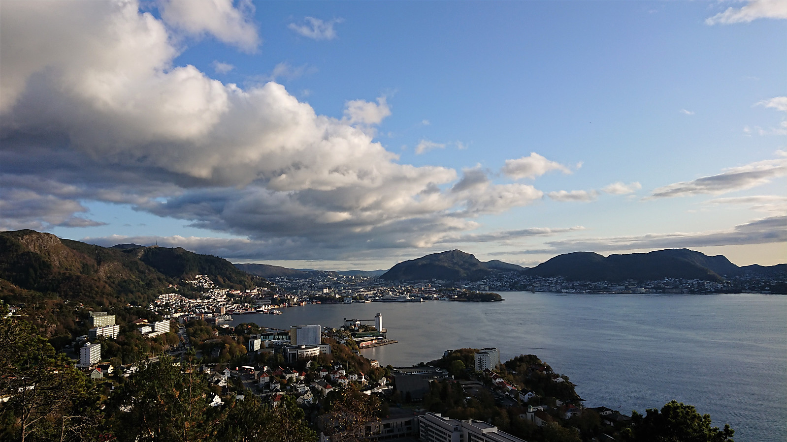
Ulriken
- Dato:
- 04.10.2019
- Turtype:
- Fjelltur
- Turlengde:
- 2:49t
- Distanse:
- 5,8km
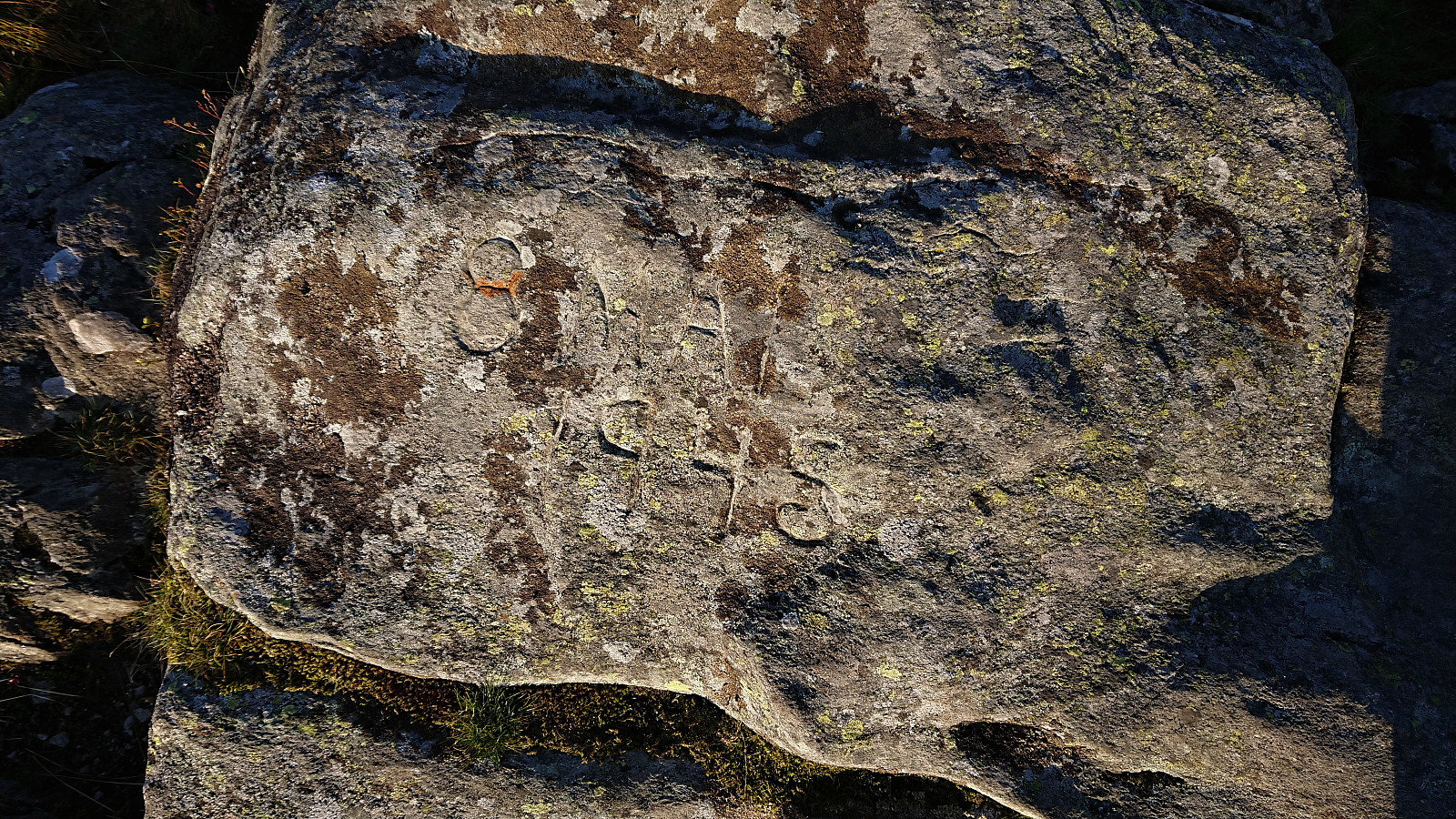 Hike after work with two colleagues, including a visit to 8. mai-steinen .
