Arkiv - dato
Arkiv - aktivitet
-
Annen tur (3)
- Kajakkpadling (3)
- Fottur (1897)
-
Kjøretur (9)
- Biltur (9)
-
Skitur (116)
- Fjellskitur (69)
- Langrennstur (47)
-
Sykkeltur (111)
- Blandet sykling (25)
- Gatesykling (86)
Lister jeg samler etter
-
Utvalgte topper og turmål i Bergen
(349/351)
 99%
99% -
Alle topper i Bergen
(393/400)
98%
-
Voss ≥ 100m pf.
(96/98)
97%
-
Opptur Hordaland
(144/159)
90%
-
Stasjoner på Bergensbanen
(33/40)
82%
-
Ulvik ≥ 100m pf.
(30/38)
78%
-
Hordaland ≥ 100m pf.
(624/863)
72%
-
Mjølfjell PF > 100m
(21/31)
67%
-
Jondal ≥ 100m pf.
(15/23)
65%
-
Dagsturhyttene i Vestland
(36/61)
59%
-
Sunnhordland PF >= 100m
(105/186)
56%
-
Hordaland: Hardanger PF>=100m
(196/359)
54%
-
DNT-hytter i Hordaland
(23/45)
51%
-
Kvinnherad ≥ 100m pf.
(40/79)
50%
-
Eidfjord ≥ 100m pf.
(13/42)
30%
-
Sogndal ≥ 100m pf.
(23/81)
28%
-
Gulen ≥ 100m pf.
(15/54)
27%
-
Vik i Sogn ≥ 100m pf.
(10/46)
21%
-
Sogn - Sør for Sognefjorden PF>=100m
(31/159)
19%
-
DNT-hytter i Sogn og Fjordane
(8/47)
17%

Barsnesfjorden
- Dato:
- 30.07.2018
- Turtype:
- Fottur
- Turlengde:
- 0:52t
- Distanse:
- 4,7km
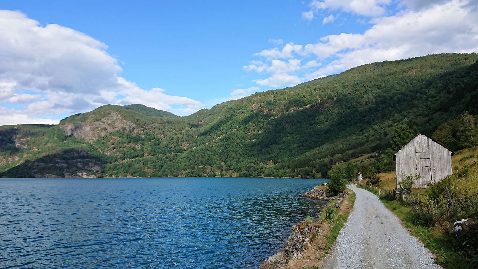 Short walk along Barsnesfjorden.
(Note that the road this hike follows is private, i.e. no cars allowed. There are however a couple of parking spaces down by the small wharf along Barsnesfjorden just before the road turns west and starts climbing slightly towards the crossroads at Barsnes.)
Short walk along Barsnesfjorden.
(Note that the road this hike follows is private, i.e. no cars allowed. There are however a couple of parking spaces down by the small wharf along Barsnesfjorden just before the road turns west and starts climbing slightly towards the crossroads at Barsnes.)
Storehaugen and Storehaugfjellet
- Dato:
- 29.07.2018
- Turtype:
- Fjelltur
- Turlengde:
- 5:27t
- Distanse:
- 18,0km
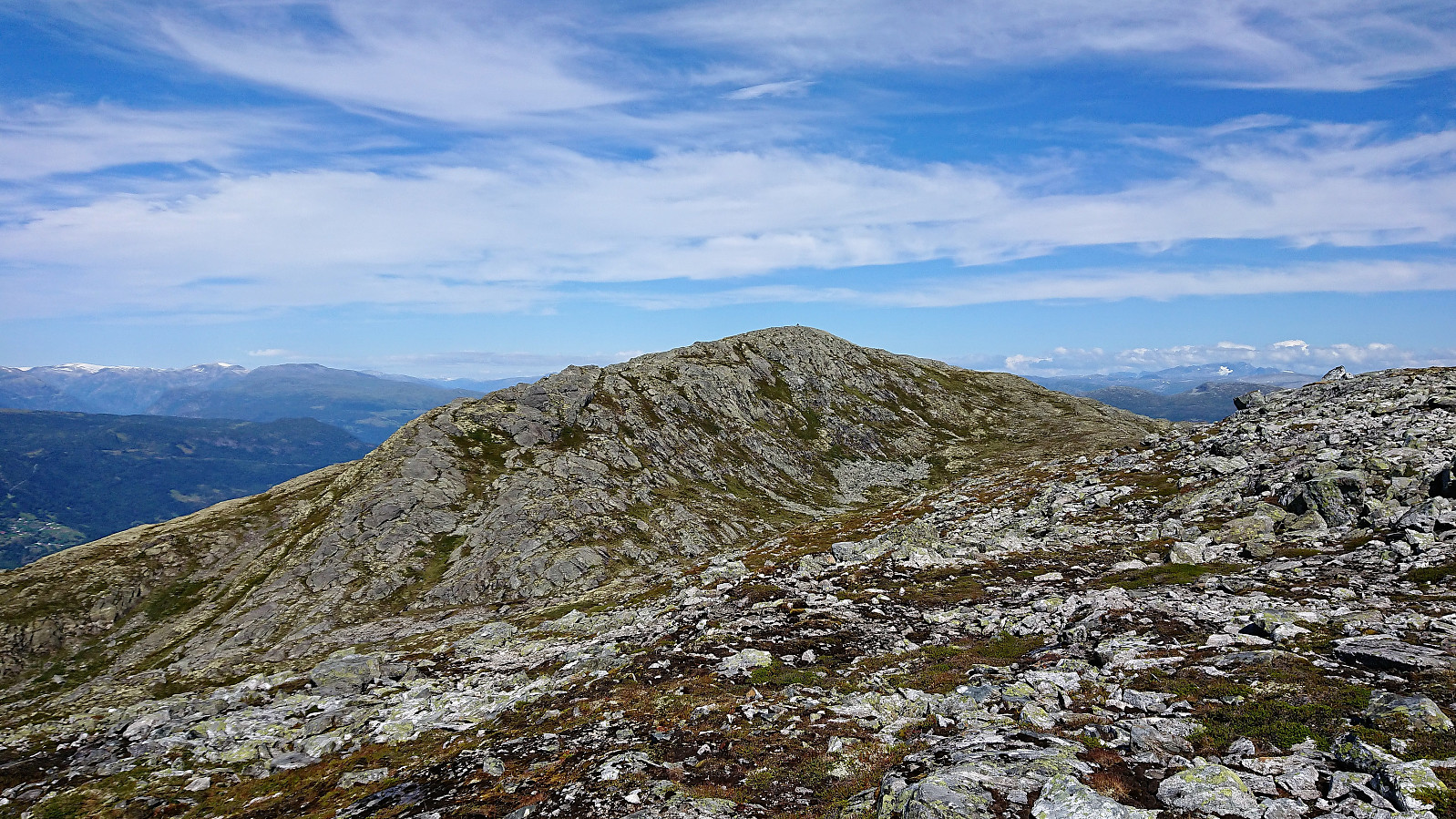 We parked at the small parking lot next to Flyplassvegen and followed the marked trail via Bjørkestølen , including a stop at Storehaugen on the way to Storehaugfjellet . Storehaugen provided spectacular views in all directions. Well worth a visit even though Storehaugfjellet is the slightly higher of the two.
After a break for lunch at Storehaugfjellet, it was decided to follow the gravel road southwest (and later east) down to the airport at Haukåsen and from there walk along the road back to the car. But while this did make the hike into a roundtrip, it cannot really be recommended, as it ends with a rather long and boring walk with limited views.
Probably better to either return the same way, or via the alternative route following the ridge back to the parking lot. An additional option would be to use two cars. Just make sure to not repeat the mistake of one family >>>
We parked at the small parking lot next to Flyplassvegen and followed the marked trail via Bjørkestølen , including a stop at Storehaugen on the way to Storehaugfjellet . Storehaugen provided spectacular views in all directions. Well worth a visit even though Storehaugfjellet is the slightly higher of the two.
After a break for lunch at Storehaugfjellet, it was decided to follow the gravel road southwest (and later east) down to the airport at Haukåsen and from there walk along the road back to the car. But while this did make the hike into a roundtrip, it cannot really be recommended, as it ends with a rather long and boring walk with limited views.
Probably better to either return the same way, or via the alternative route following the ridge back to the parking lot. An additional option would be to use two cars. Just make sure to not repeat the mistake of one family >>>
Bjørndalen
- Dato:
- 28.07.2018
- Turtype:
- Fottur
- Turlengde:
- 1:28t
- Distanse:
- 4,4km
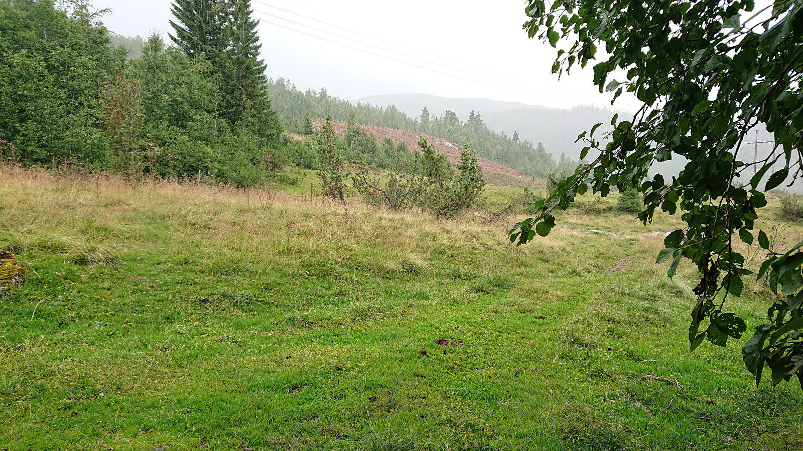 A hike in Øvstedalen that had to be cut short due to a thunder storm. The plan had been to follow the trail indicated on the map towards Fjærlandssetevatnet, but in Bjørndalen we came across a newly marked, but unnamed, trail/tractor road that we decided to try instead. Even though this trail started in the wrong direction, we assumed/hoped it would later turn north and take us where we wanted to go. However, it shortly started raining quite heavily and soon we could also hear thunder. We therefore took shelter as best we could and waited until the storm passed. It would probably not be the last we'd see of the rain though, so after following the trail a bit further, just to see if it turned in the wanted direction (which it seemed to do), we decided to rather return to the car and try again >>>
Cycling: Barsnes toward Fimreite (with an abrupt ending...)
- Dato:
- 27.07.2018
- Turtype:
- Blandet sykling
- Turlengde:
- 1:48t
- Distanse:
- 20,8km
 Today's plan was to cycle from Barsnes to Fimreite, perhaps also trying to visit Bjørnstigfjellet before returning. And it all started out very nicely with excellent cycling conditions, quickly making it to Kjørnes and the start of the old forest road towards Eide. The old forest road with its numerous roots was also easily traversed (with the exception of a short unnecessary detour towards the end).
Now all that remained was to follow the limited-traffic paved road to Fimreite. Something I'd done several times before. However, in the second sharp bend down to Eide I suddenly felt my front wheel slipping on fine sand, and, no longer able to control the bike, ended up hitting and sliding along the pavement. Luckily my speed had not been very high, thanks to the very sharp bend, and I was thus not too badly >>>
Today's plan was to cycle from Barsnes to Fimreite, perhaps also trying to visit Bjørnstigfjellet before returning. And it all started out very nicely with excellent cycling conditions, quickly making it to Kjørnes and the start of the old forest road towards Eide. The old forest road with its numerous roots was also easily traversed (with the exception of a short unnecessary detour towards the end).
Now all that remained was to follow the limited-traffic paved road to Fimreite. Something I'd done several times before. However, in the second sharp bend down to Eide I suddenly felt my front wheel slipping on fine sand, and, no longer able to control the bike, ended up hitting and sliding along the pavement. Luckily my speed had not been very high, thanks to the very sharp bend, and I was thus not too badly >>>
Cycling: From Barsnes to Rubbeskallen
- Dato:
- 26.07.2018
- Turtype:
- Gatesykling
- Turlengde:
- 1:51t
- Distanse:
- 17,2km
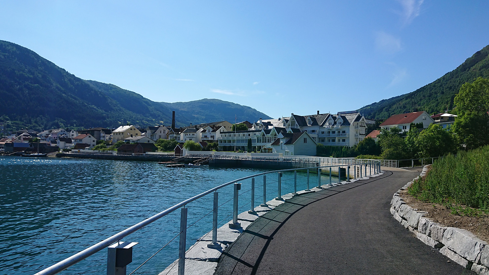 Short cycling trip from Barsnes to Rubbeskallen (and back), following the new almost completed Fjordstien and later the cycling and walking path to Rubbeskallen.
Dulpeknatten from Ivarsbu
- Dato:
- 23.07.2018
- Turtype:
- Fjelltur
- Turlengde:
- 1:36t
- Distanse:
- 4,6km
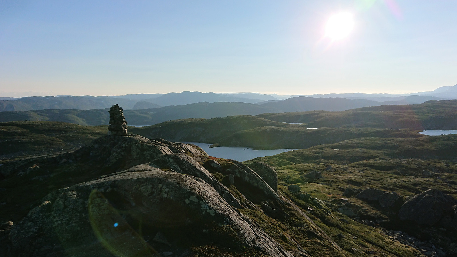
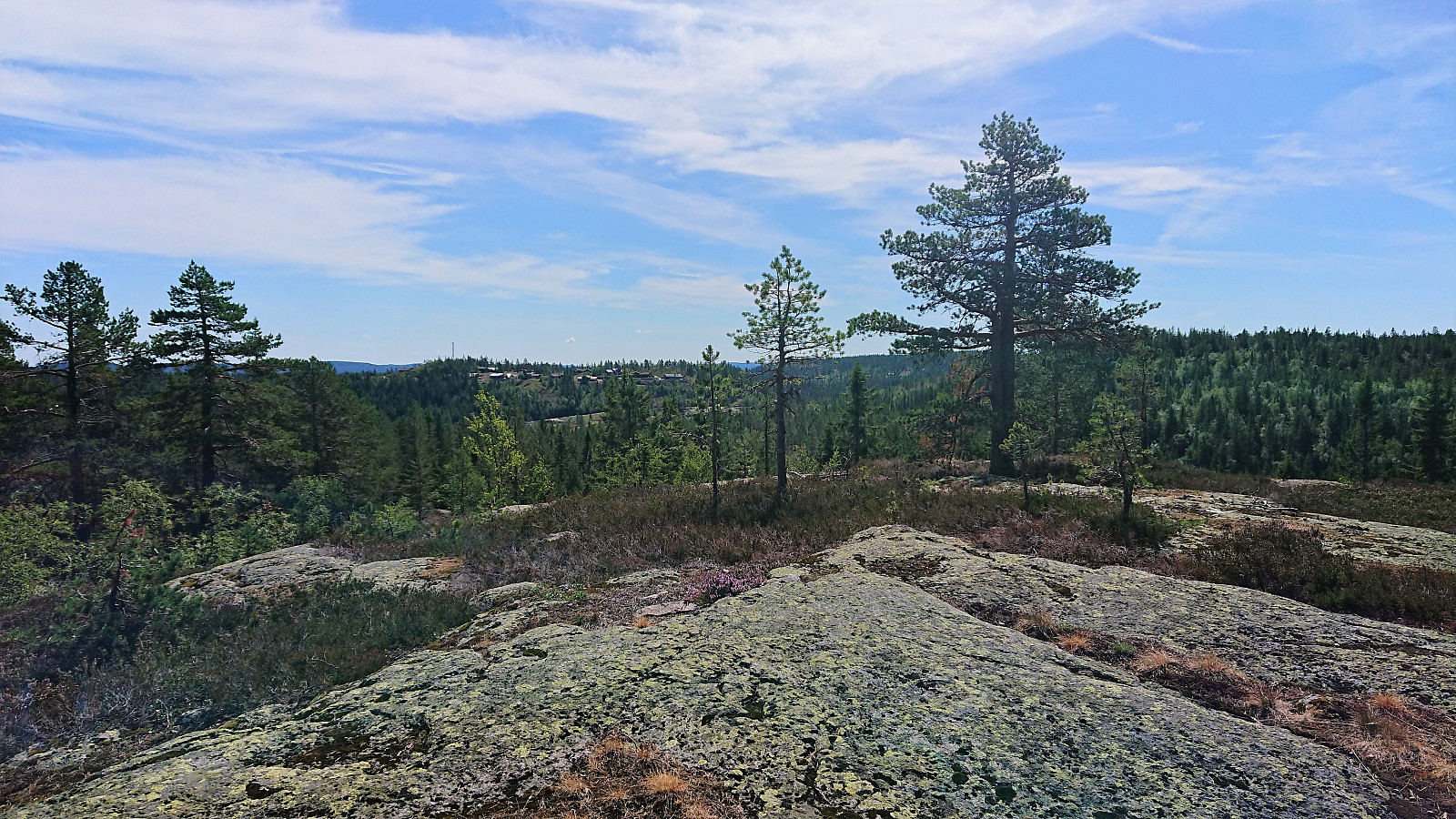 After the rather short hike to Stølefjell some of us decided to go straight for a second hike, this time south to Dulpeknatten . We followed trails (almost) all the way, adding an extra loop around Velse Stølevann on the way back to Ivarsbu . Dulpeknatten did not have a distinct highest point, more of a summit area, and the views where also rather limited. Still a nice short hike, but clearly not the kind of summit one travels long distances to visit.
Stølefjell from Ivarsbu
- Dato:
- 23.07.2018
- Turtype:
- Fjelltur
- Turlengde:
- 2:02t
- Distanse:
- 3,3km
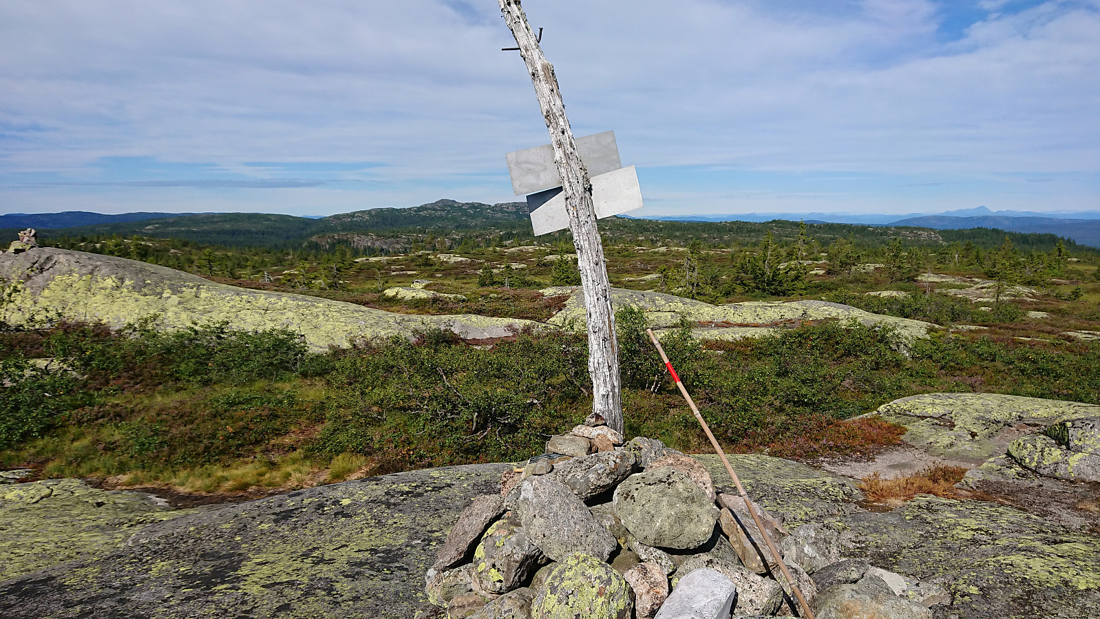 Short morning hike from Ivarsbu up the surprisingly steep trail to the cairn at Stølefjell . Great views from the summit, especially for such a short hike. Almost on par with yesterday's views from Styggmann . After a quick bite we returned the same way to Ivarsbu.
Styggmann from Ivarsbu
- Dato:
- 22.07.2018
- Turtype:
- Fjelltur
- Turlengde:
- 6:39t
- Distanse:
- 16,7km
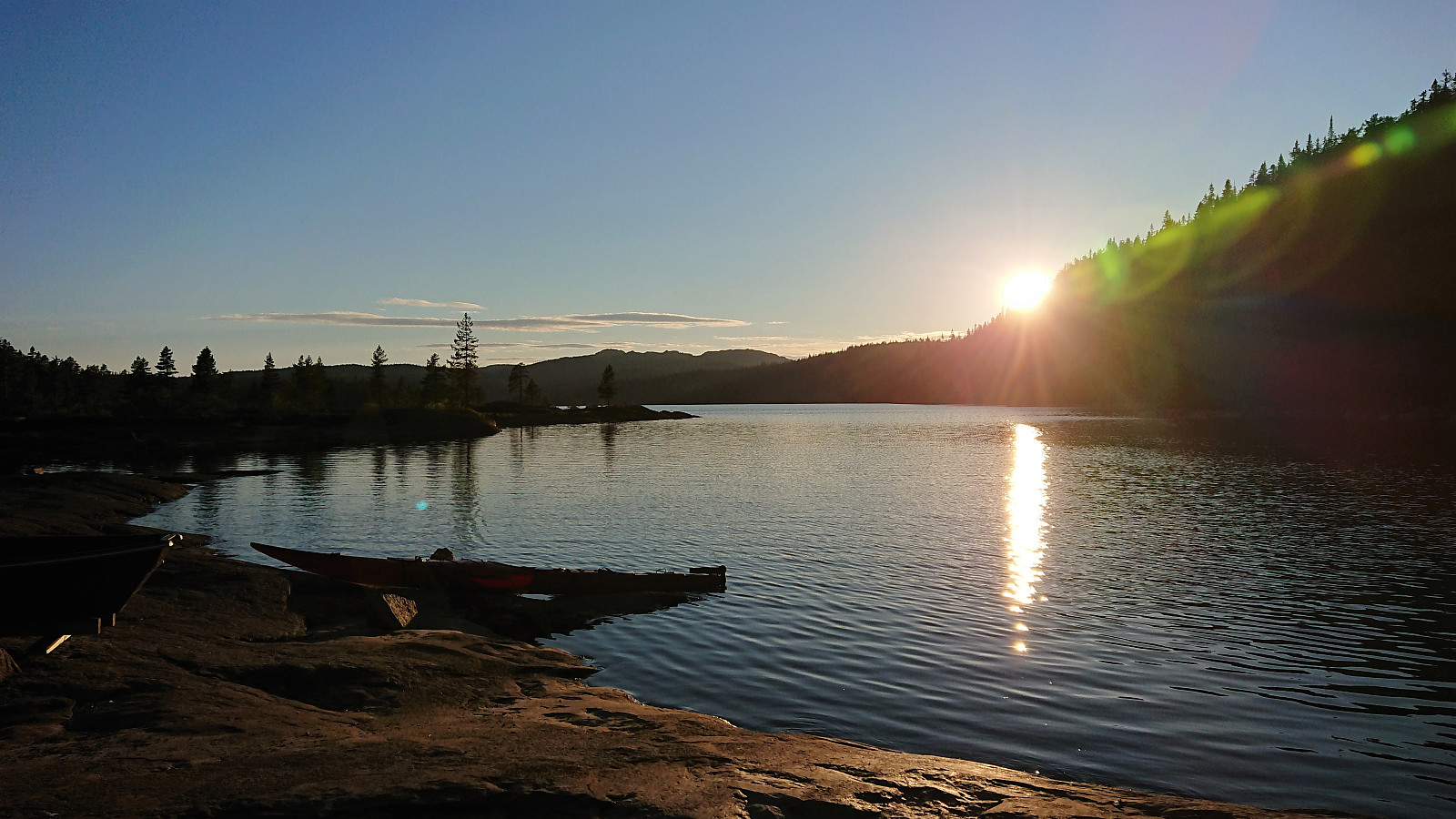 After spending the night at Ivarsbu we started out along the trails to Styggmann . Overall the trails where easy to follow. The only exception was in the area around Store Kongstjern where we ended up losing the trail for a short time. Just before reaching our main goal, we also made a short off-trail detour to visit the oddly shaped Rønseterfjellet . After reconnecting with the trail we continued to Styggmann where we had a brief lunch before starting our descent, choosing the alternative southern trail in order to make it into more of a roundtrip. Overall a nice hike that felt slightly longer than expected. Perhaps due to the large stretches inside the forest with limited views.
Prestholtskarvet
- Dato:
- 21.07.2018
- Turtype:
- Fjelltur
- Turlengde:
- 3:08t
- Distanse:
- 8,9km
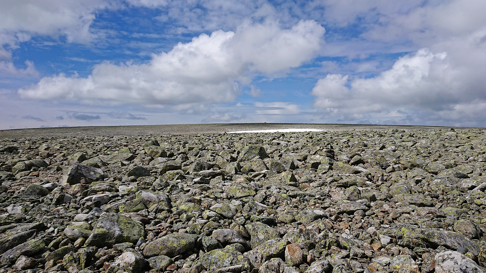 We used the standard route up Prestholtskardet from the parking lot at Prestholtseter before trying to follow the partially marked trail across the numerous rocks, and some remaining snow, towards the summit of Prestholtskarvet . Good views from the summit, but due to all the rocks, it is probably nicer to visit this summit in the winter time.
Kvasshovd
- Dato:
- 20.07.2018
- Turtype:
- Fjelltur
- Turlengde:
- 1:58t
- Distanse:
- 7,4km
 Short evening hike before spending the night at Haugastøl. All of the hike was along clear and easy-to-follow trails, although Kvasshovd itself was not indicated on any of the signs. The only trouble I had was missing my exit when heading east after visiting the summit, but the trail was quickly relocated. Much better views from the summit than expected, especially towards Hallingskarvet.
