Arkiv - dato
Arkiv - aktivitet
-
Annen tur (3)
- Kajakkpadling (3)
- Fottur (1897)
-
Kjøretur (9)
- Biltur (9)
-
Skitur (116)
- Fjellskitur (69)
- Langrennstur (47)
-
Sykkeltur (111)
- Blandet sykling (25)
- Gatesykling (86)
Lister jeg samler etter
-
Utvalgte topper og turmål i Bergen
(349/351)
 99%
99% -
Alle topper i Bergen
(393/400)
98%
-
Voss ≥ 100m pf.
(96/98)
97%
-
Opptur Hordaland
(144/159)
90%
-
Stasjoner på Bergensbanen
(33/40)
82%
-
Ulvik ≥ 100m pf.
(30/38)
78%
-
Hordaland ≥ 100m pf.
(624/863)
72%
-
Mjølfjell PF > 100m
(21/31)
67%
-
Jondal ≥ 100m pf.
(15/23)
65%
-
Dagsturhyttene i Vestland
(36/61)
59%
-
Sunnhordland PF >= 100m
(105/186)
56%
-
Hordaland: Hardanger PF>=100m
(196/359)
54%
-
DNT-hytter i Hordaland
(23/45)
51%
-
Kvinnherad ≥ 100m pf.
(40/79)
50%
-
Eidfjord ≥ 100m pf.
(13/42)
30%
-
Sogndal ≥ 100m pf.
(23/81)
28%
-
Gulen ≥ 100m pf.
(15/54)
27%
-
Vik i Sogn ≥ 100m pf.
(10/46)
21%
-
Sogn - Sør for Sognefjorden PF>=100m
(31/159)
19%
-
DNT-hytter i Sogn og Fjordane
(8/47)
17%

Fagerdalsfjellet, Rognåsen and Ørneberget
- Dato:
- 08.12.2018
- Turtype:
- Fjelltur
- Turlengde:
- 2:25t
- Distanse:
- 8,3km
 Local hike in familiar territory but along several less common paths.
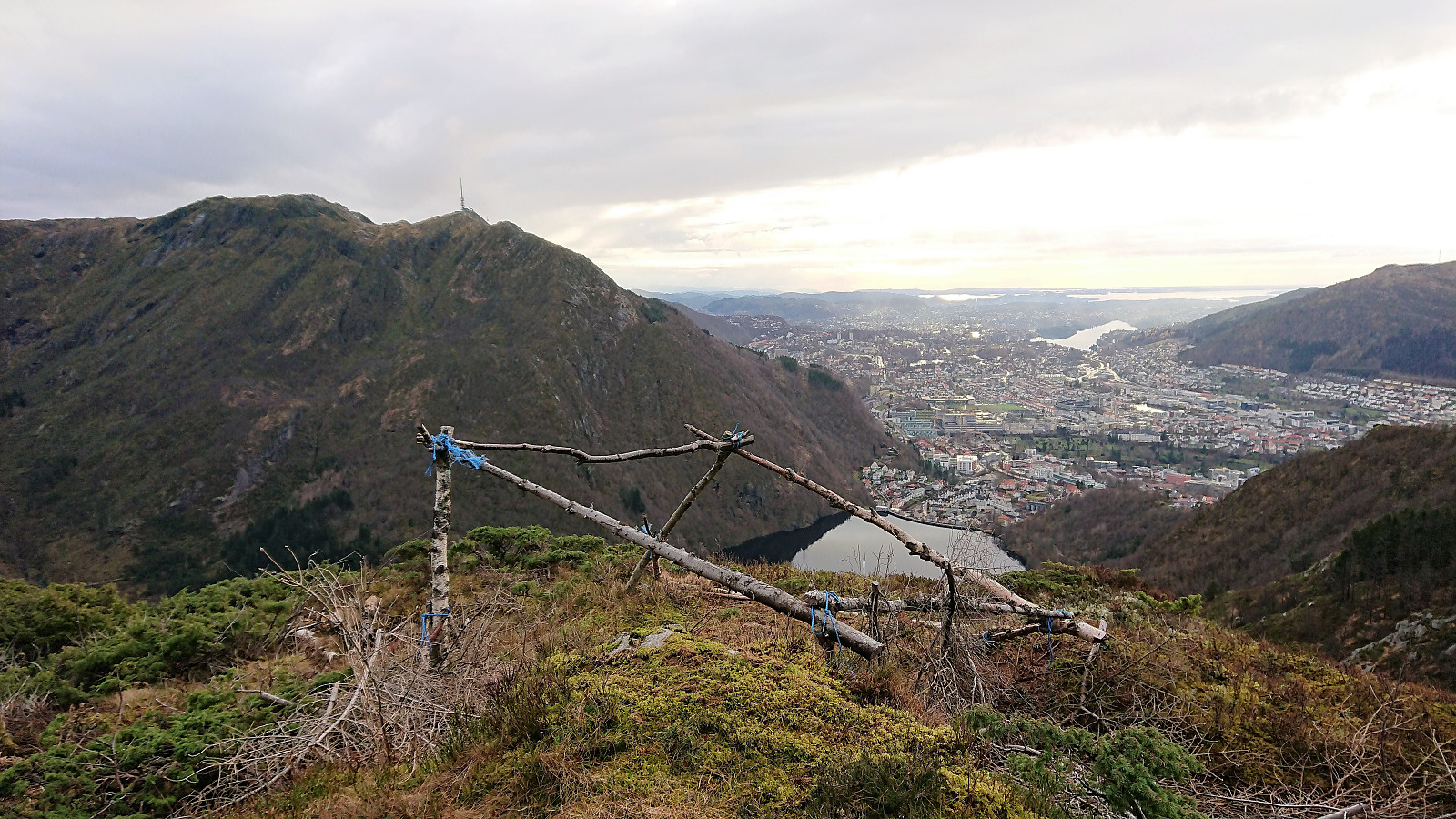
Fjellveien, Sandviksbatteriet, Håmanen and Ørneberget
- Dato:
- 02.12.2018
- Turtype:
- Fjelltur
- Turlengde:
- 4:16t
- Distanse:
- 15,6km
 Local hike with a visit to the newly added viewpoint at Ørneberget.
Nordnes, Bryggen and Sverresborg
- Dato:
- 01.12.2018
- Turtype:
- Fottur
- Turlengde:
- 2:53t
- Distanse:
- 10,8km
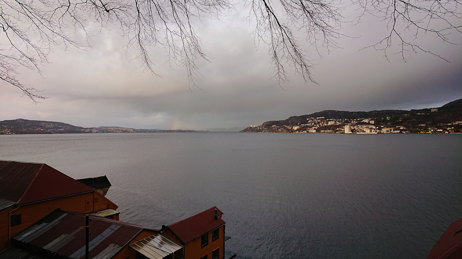 Walking around the Bergen city center with a colleague.
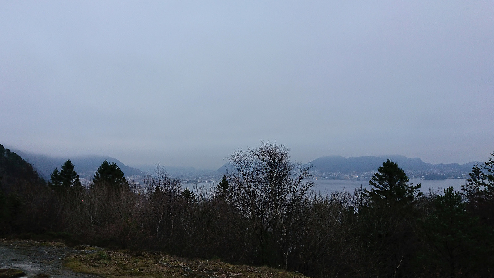
Hellemyrstien and Sandviksbatteriet
- Dato:
- 25.11.2018
- Turtype:
- Fottur
- Turlengde:
- 1:52t
- Distanse:
- 7,0km
 Local Sunday hike along Hellemyrstien with a quick visit to Sandviksbatteriet.
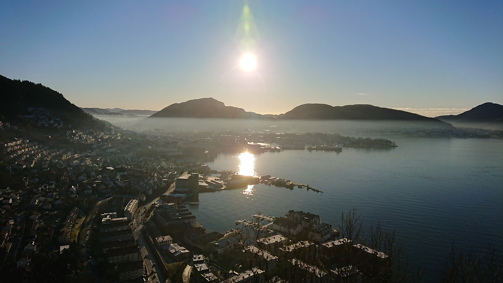
Isdalen
- Dato:
- 24.11.2018
- Turtype:
- Fjelltur
- Turlengde:
- 4:15t
- Distanse:
- 10,6km
 Hiking up Isdalen and then down to Montana via Oppstemten (i.e. the new stone steps) with a colleague, making it to the gravel road just as it got dark.
Furukammen
- Dato:
- 18.11.2018
- Turtype:
- Fottur
- Turlengde:
- 0:21t
- Distanse:
- 2,0km
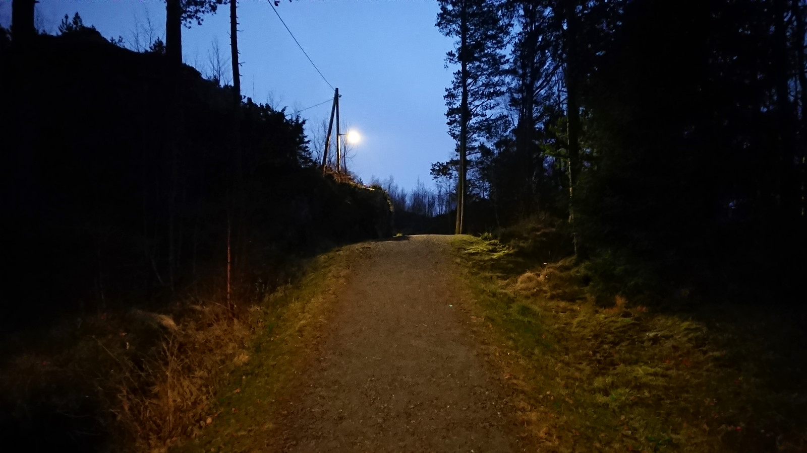 Another very short local hike due to my injured heel.
Across Hellen festning
- Dato:
- 17.11.2018
- Turtype:
- Fottur
- Turlengde:
- 0:36t
- Distanse:
- 3,2km
 Only a short local hike today due to a problematic heel/achilles that had been hurting ever since last weekend's long walks on mainly asphalt and gravel. Significant improvement, but sadly more rest will still be needed to fully recover and be ready for longer and more interesting hikes.
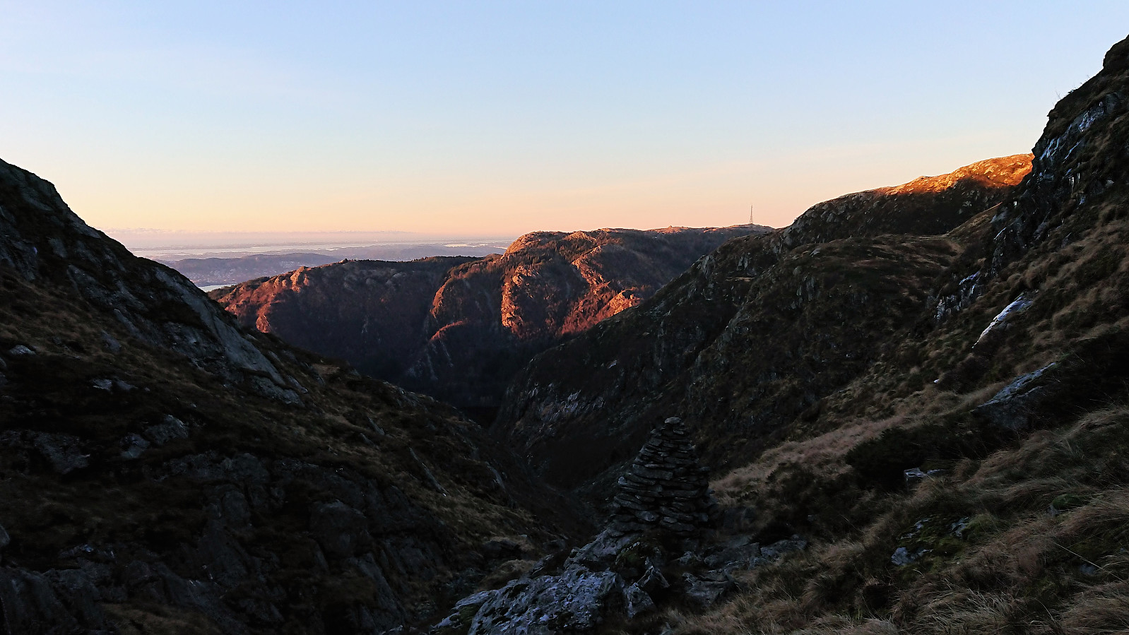
Søre Midtfjellet, Lørdagsknausen and Blåmanen SØ
- Dato:
- 11.11.2018
- Turtype:
- Fjelltur
- Turlengde:
- 3:47t
- Distanse:
- 15,5km
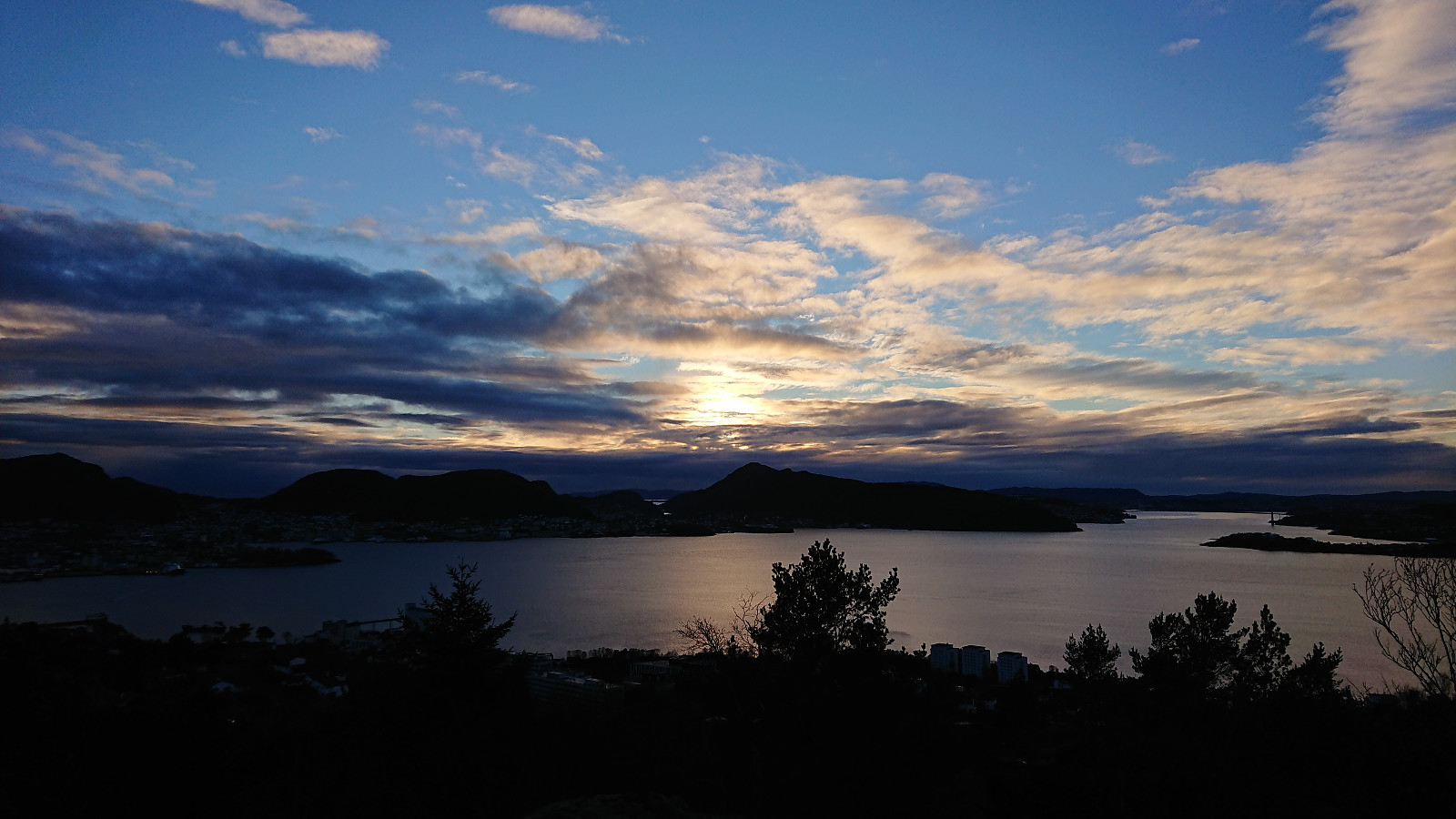
 Walked from the city center to Kalfaret, from where I followed a (for me) new route up to Starefossen and onward to Søre Kamveien. Before Søre Kamveien connected with the main road toward Fløyen, I took the trail northeast via Heimtun to Fjellhytten . Continued north, but turned east before reaching the gravel road, instead following the old trail/road south, and later east, of the gravel road toward Blåmanen.
This path is clearly not very heavily used anymore, but it could be followed without much difficulty. On the way I also made a quick stop at Lørdagsknausen , which to my surprise included the remains of a small shelter. I assume this small hill, with its great views, was more frequently visited when the old trail was still in use.
Shortly after reconnecting with the main trail, I also made a quick visit of Blåmanen SØ , which could >>>
Walked from the city center to Kalfaret, from where I followed a (for me) new route up to Starefossen and onward to Søre Kamveien. Before Søre Kamveien connected with the main road toward Fløyen, I took the trail northeast via Heimtun to Fjellhytten . Continued north, but turned east before reaching the gravel road, instead following the old trail/road south, and later east, of the gravel road toward Blåmanen.
This path is clearly not very heavily used anymore, but it could be followed without much difficulty. On the way I also made a quick stop at Lørdagsknausen , which to my surprise included the remains of a small shelter. I assume this small hill, with its great views, was more frequently visited when the old trail was still in use.
Shortly after reconnecting with the main trail, I also made a quick visit of Blåmanen SØ , which could >>>
Solåsen and Hagåsen
- Dato:
- 10.11.2018
- Turtype:
- Fjelltur
- Turlengde:
- 4:16t
- Distanse:
- 18,2km
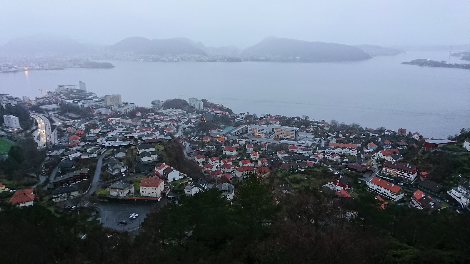
 I wanted to cover both Solåsen and Hagåsen with a single continuous hike, which seemed reasonable given their close proximity. But from what I could tell, all of the hiking reports on PB ascended Hagåsen from the southwest. I was therefore very happy to find arntfla (Arnt Flatmo) external report ( http://www.westcoastpeaks.com/Peaks/hagaasen.html ) indicating a trail towards Hagåsen from the northeast.
Having found this missing piece of the puzzle, I got up way too early on a Saturday morning and took the first bus toward Haga, getting off at the last bus stop before Hagåstunellen (bus stop: Lønnebakken). From there I walked along the smaller roads before starting my descent up Hagabakkene.
Just before the road started heading downward again, I noticed an unmarked trail heading south. After conferring with the GPS, I was pretty convinced that this had to be the trail arntfla (Arnt Flatmo) was >>>
I wanted to cover both Solåsen and Hagåsen with a single continuous hike, which seemed reasonable given their close proximity. But from what I could tell, all of the hiking reports on PB ascended Hagåsen from the southwest. I was therefore very happy to find arntfla (Arnt Flatmo) external report ( http://www.westcoastpeaks.com/Peaks/hagaasen.html ) indicating a trail towards Hagåsen from the northeast.
Having found this missing piece of the puzzle, I got up way too early on a Saturday morning and took the first bus toward Haga, getting off at the last bus stop before Hagåstunellen (bus stop: Lønnebakken). From there I walked along the smaller roads before starting my descent up Hagabakkene.
Just before the road started heading downward again, I noticed an unmarked trail heading south. After conferring with the GPS, I was pretty convinced that this had to be the trail arntfla (Arnt Flatmo) was >>>
Ulriken
- Dato:
- 07.11.2018
- Turtype:
- Fjelltur
- Turlengde:
- 1:35t
- Distanse:
- 5,7km
 Another go at the continuous competition at work for the fastest time from Montana to the upper station of Ulriksbanen, this time together with a colleague. Ended up lowering my personal best by more than 40 seconds. New record: 24 minutes and 15 seconds. After catching our breaths, we made a short detour to the summit of Ulriken, before returning to Montana.
