Bunuten and Vatnasetenuten (08.11.2025)


Startsted Bu terminal (115moh)
Sluttsted Valavikvegen (19moh)
Turtype Fjelltur
Turlengde 7t 32min
Distanse 22,2km
Høydemeter 1485m
GPS
Bestigninger Bunuten (1014moh) 08.11.2025 12:12
Vatnasetenuten (1314moh) 08.11.2025 14:11

Bunuten and Vatnasetenuten

Starting out from Bu terminal
Bunuten from Bu
Bunuten from Bu
Indre Bu
Indre Bu
Gravel road from Indre Bu
The start of the tractor road
The end of the tractor road
The first easy stream crossing
The initially marked trail
Approaching the top of the pass
Osafjorden and Vassfjøro

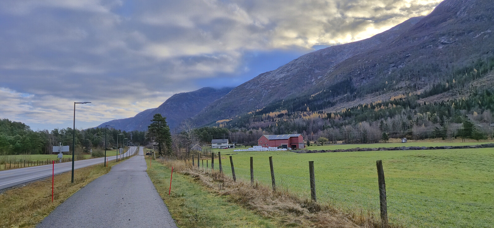
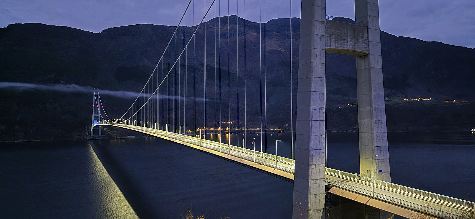
I started by taking an early train from Bergen to Voss and then the bus to Bu terminal just south of Hardangerbroen. Here I could have switched to a connecting bus heading towards Eidfjord, but I did not think of this until it was too late, and in any case it would only have saved me around 1 km along the paved road.

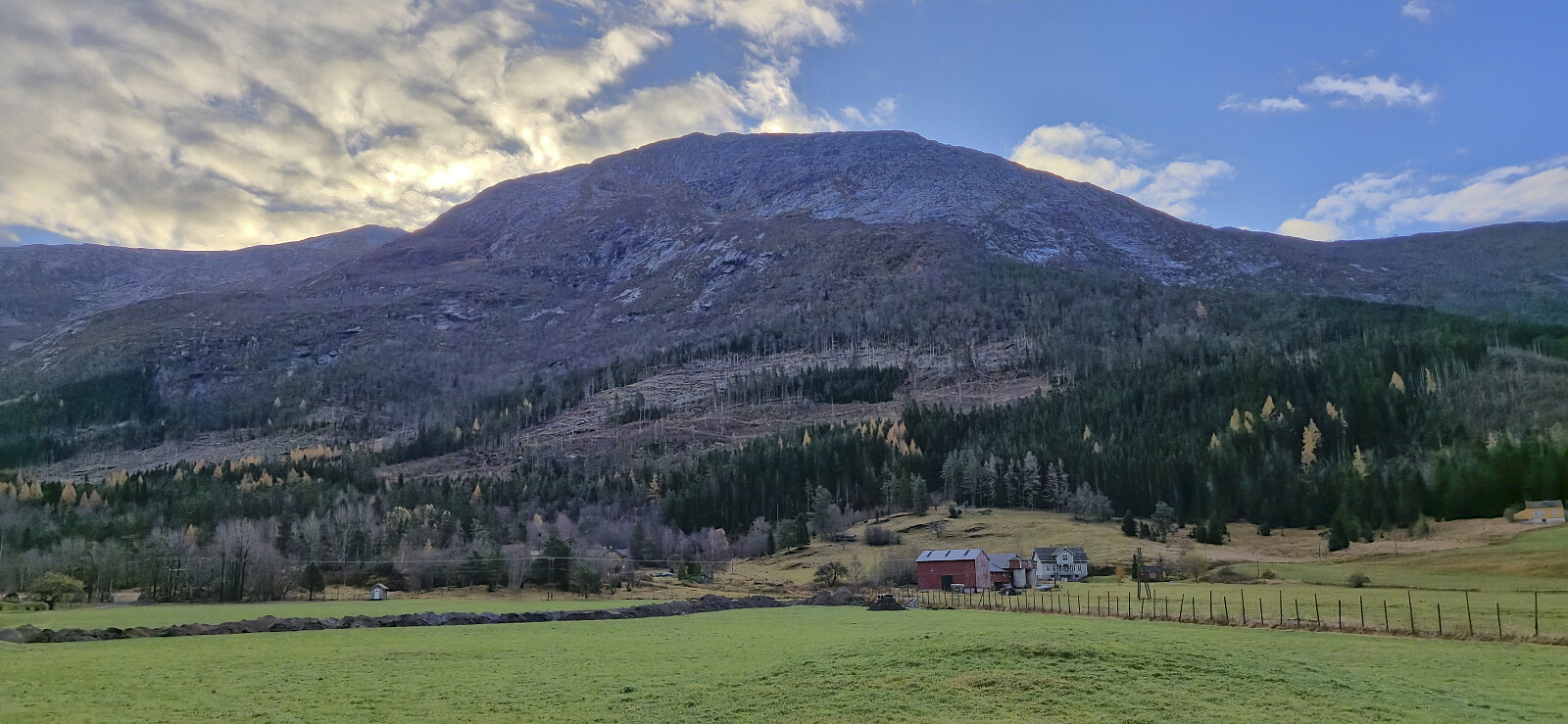
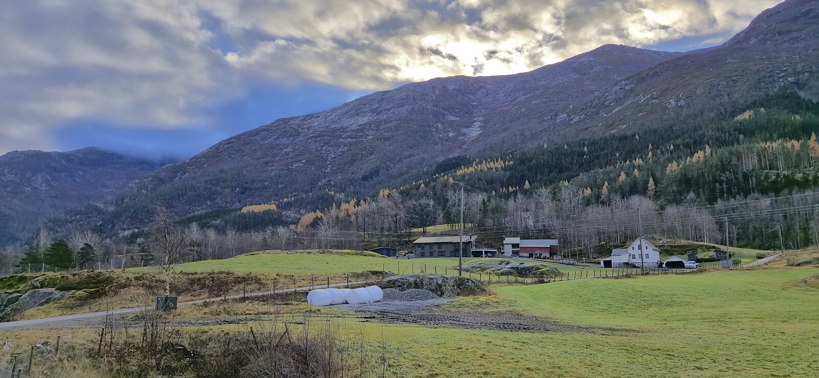
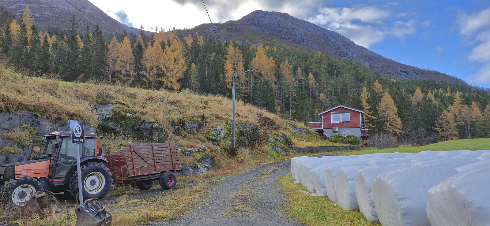
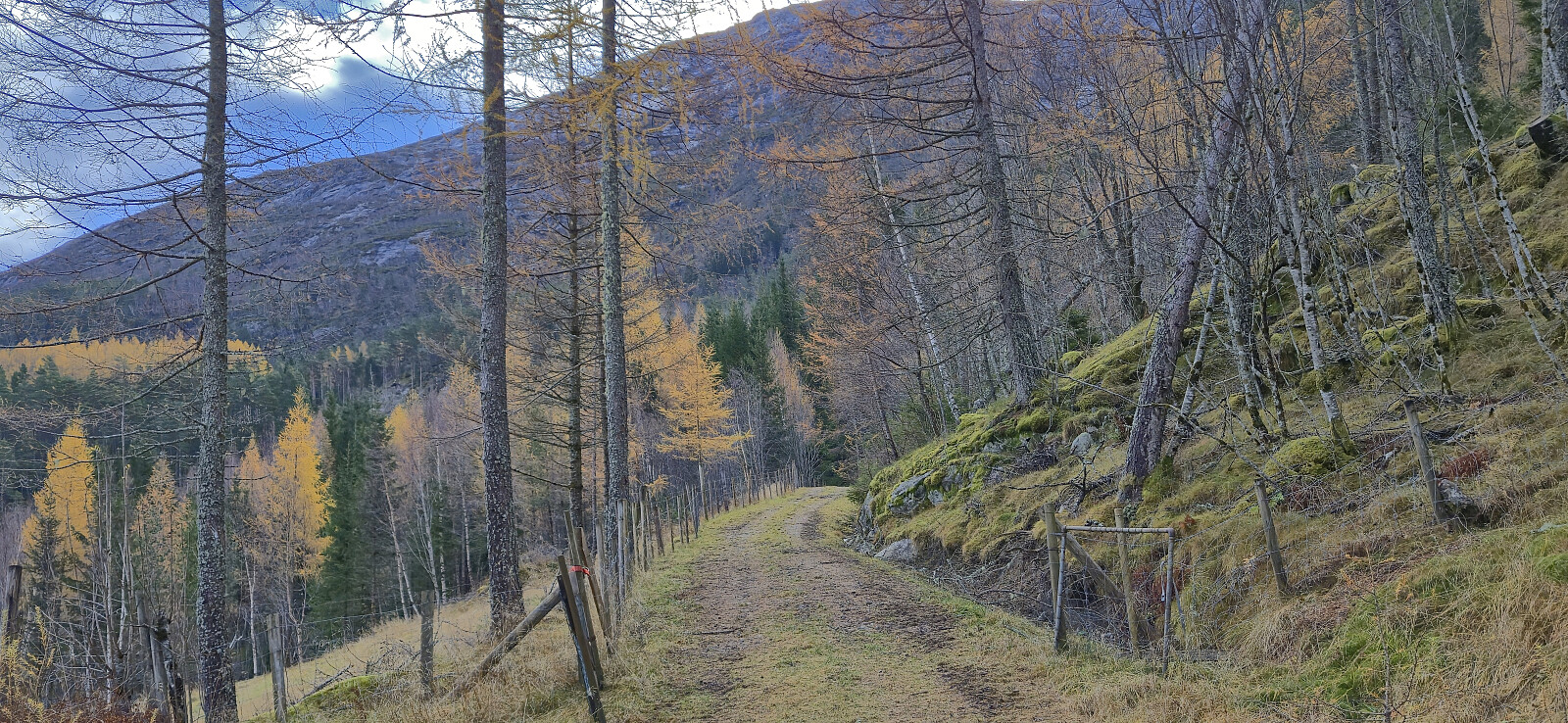
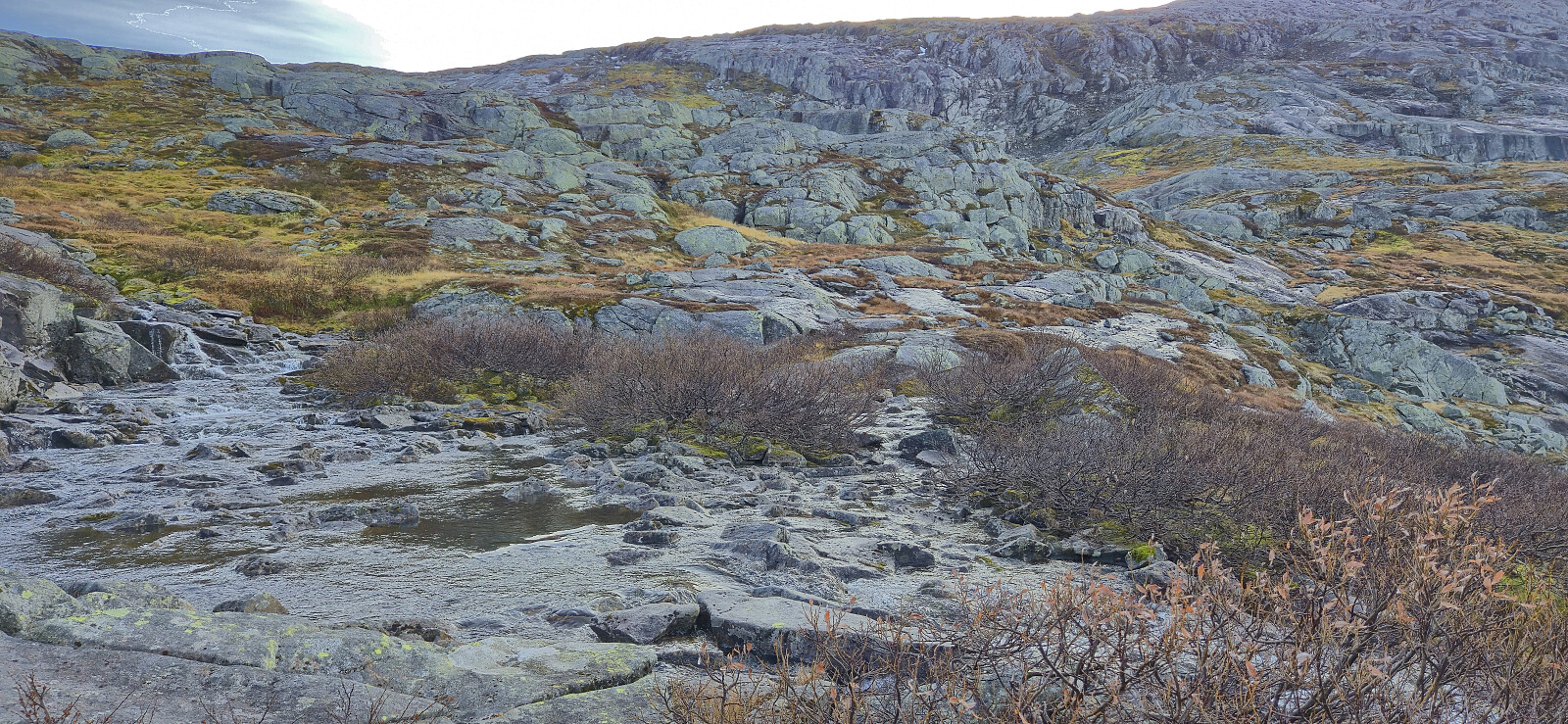
After a short walk east on the separate cycling and walking path, I left the main road and followed a smaller side road via Indre Bu to the start of a tractor road west of Bugjelet. When the tractor road came to an end at a small stream, I easily crossed to the other side and continued on an initially marked trail. The markers soon disappeared though, but the trail was still generally easy follow.

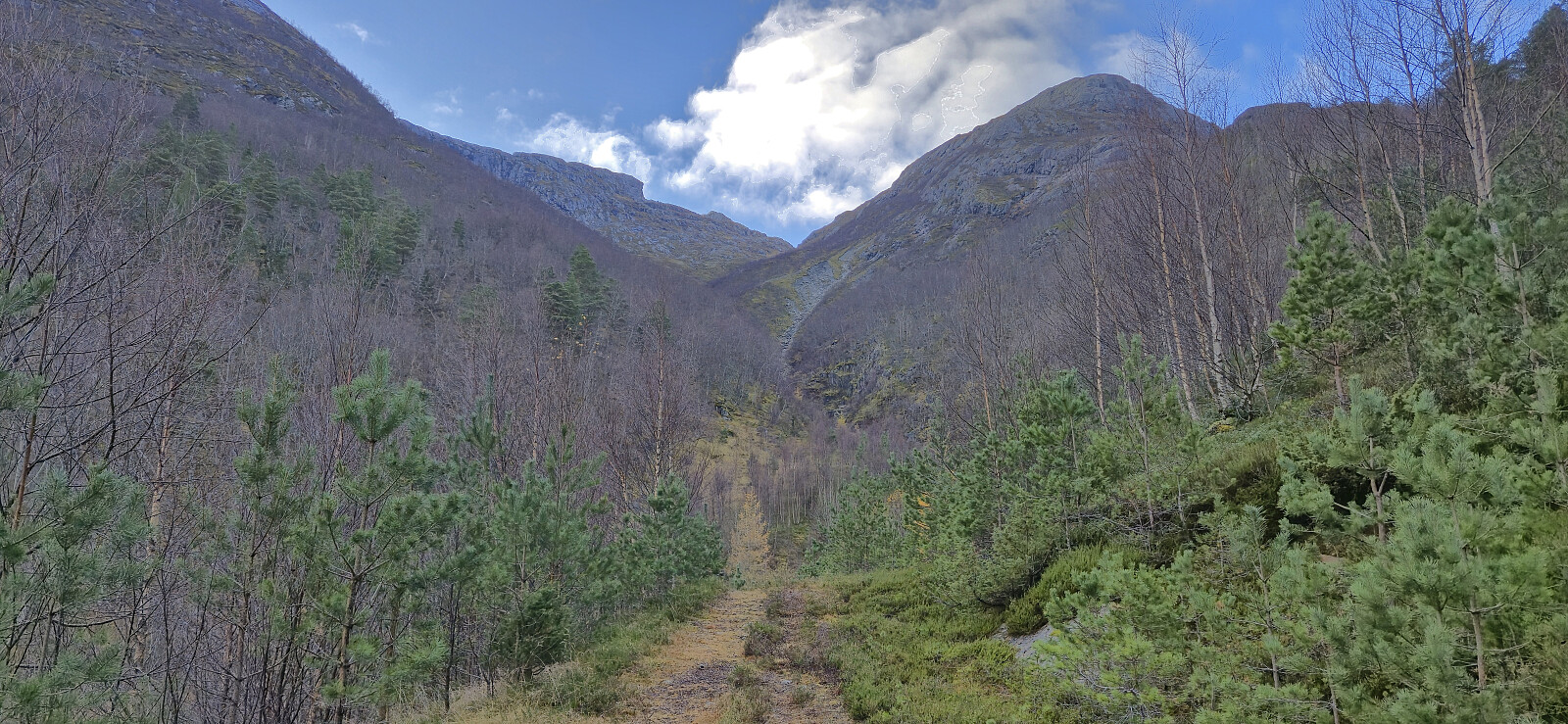
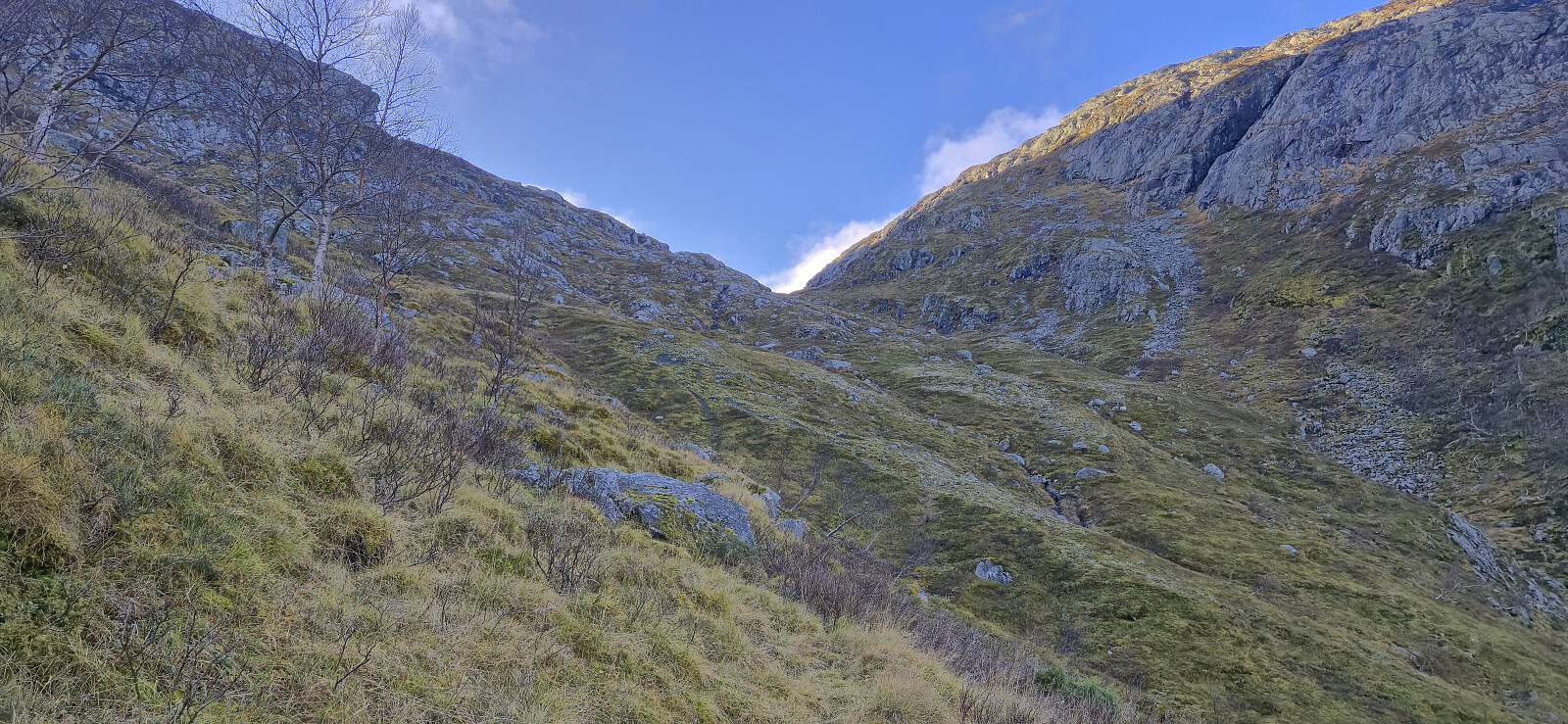
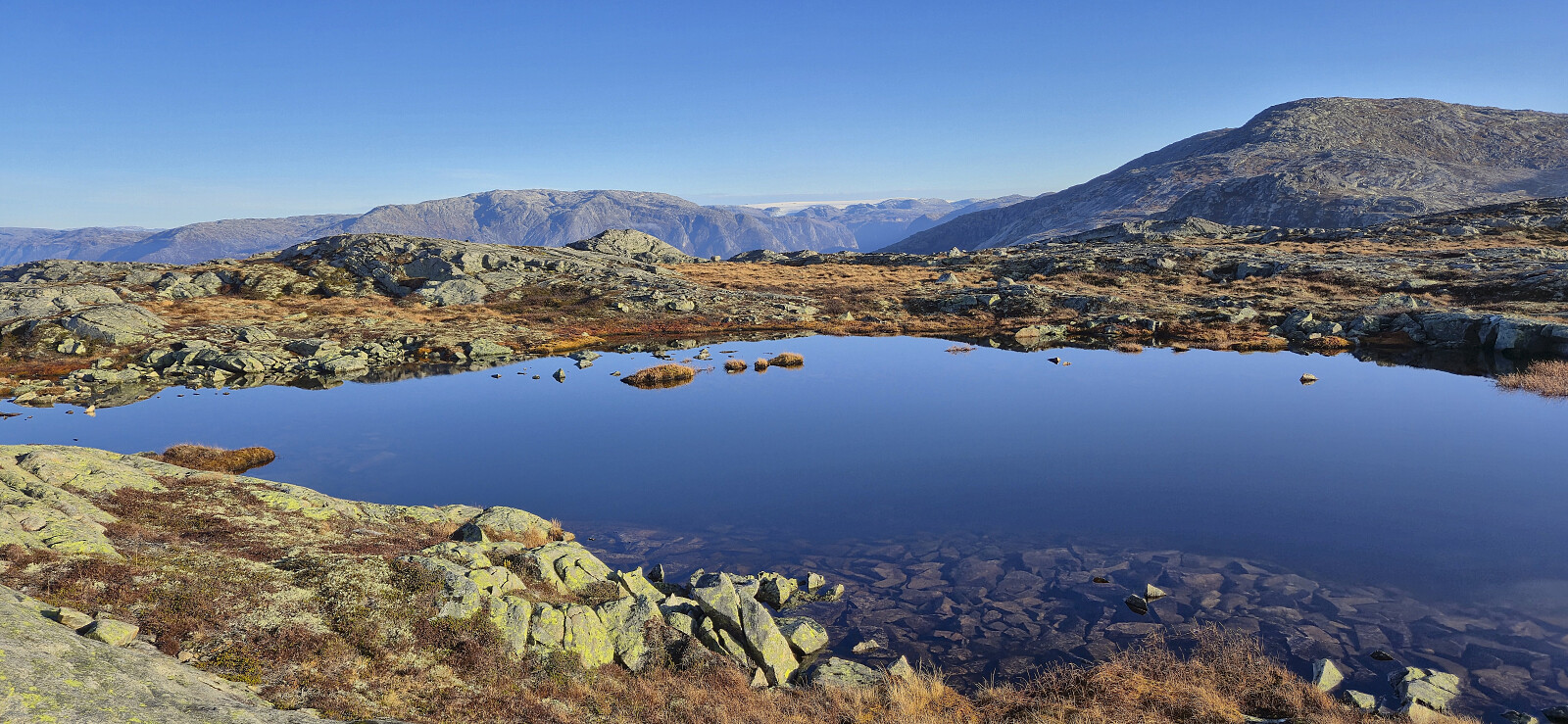
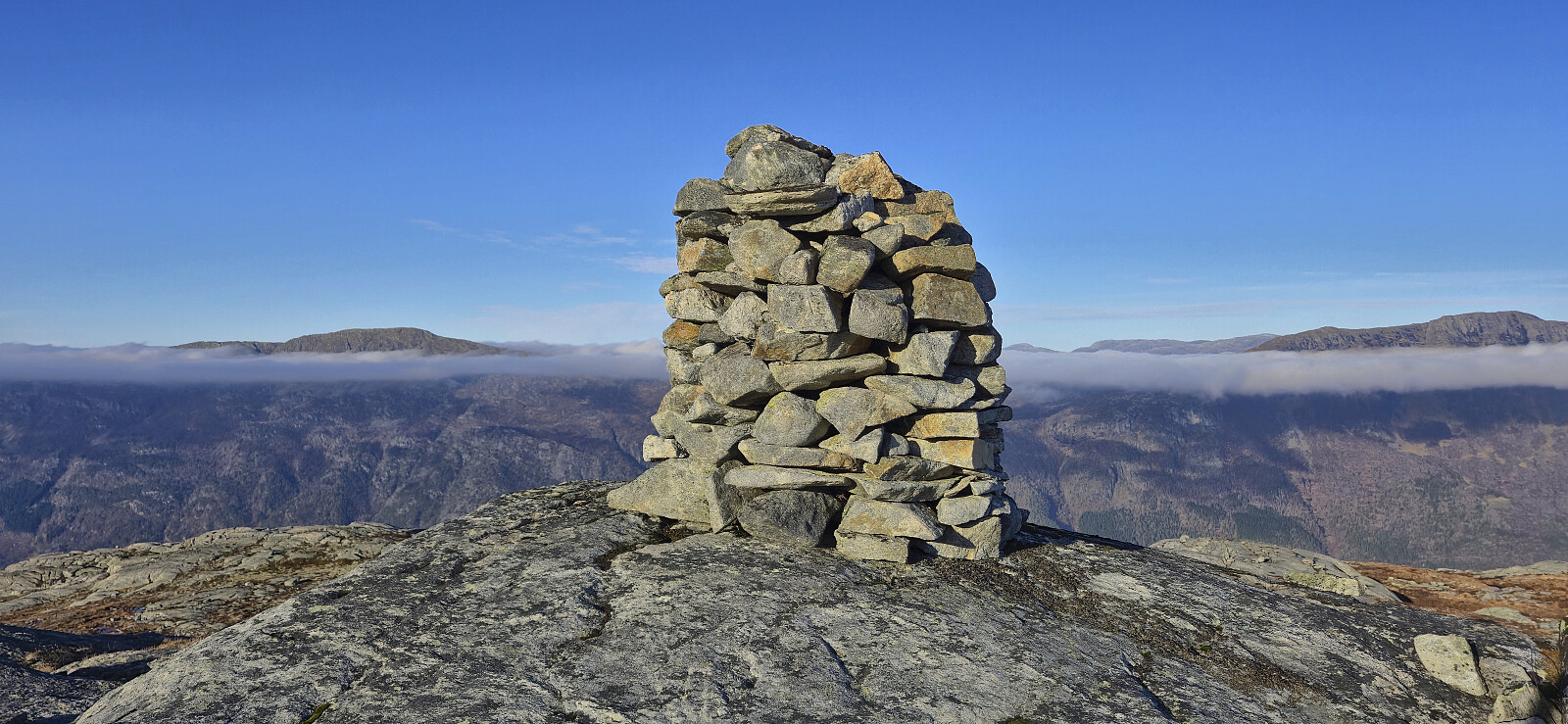
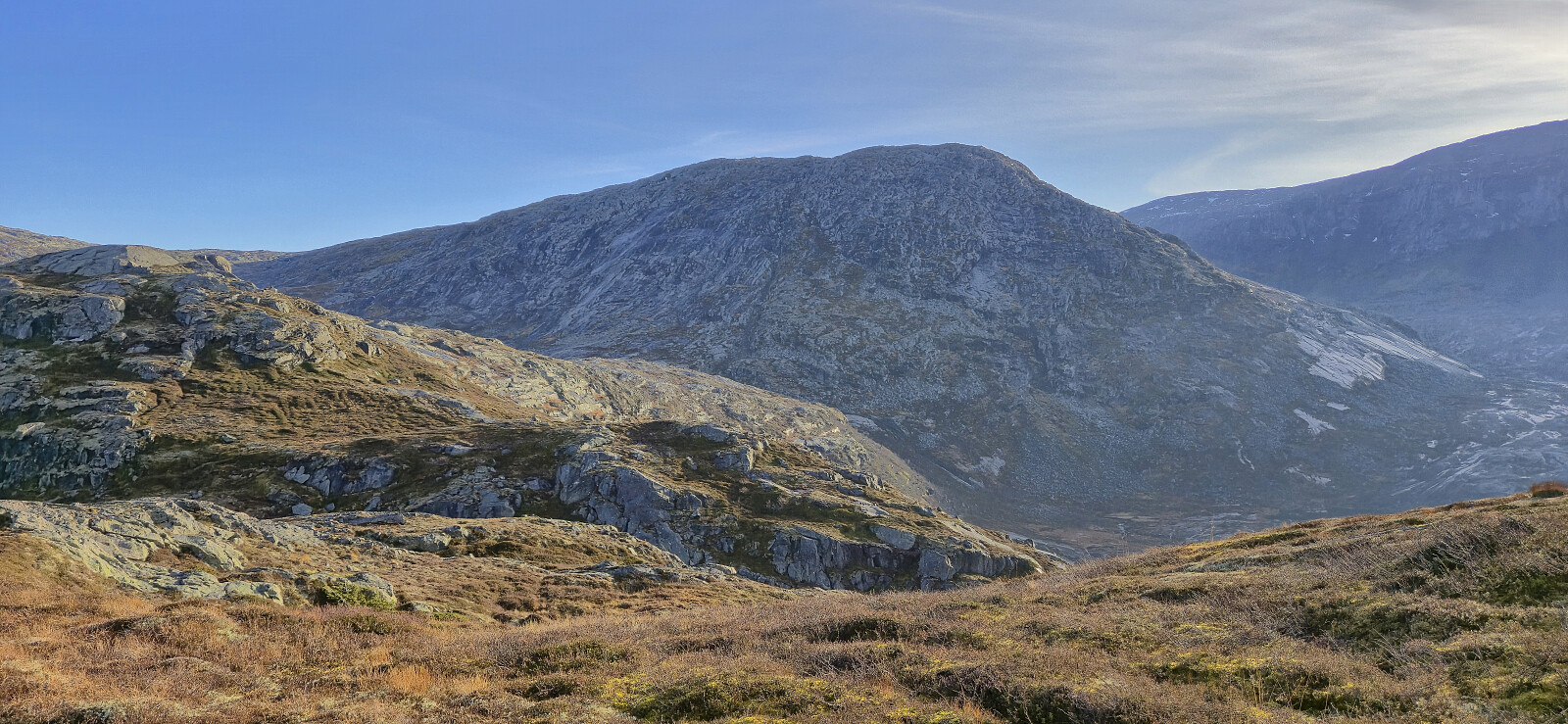
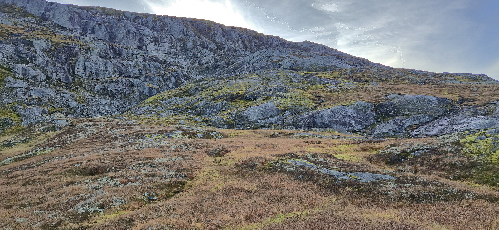
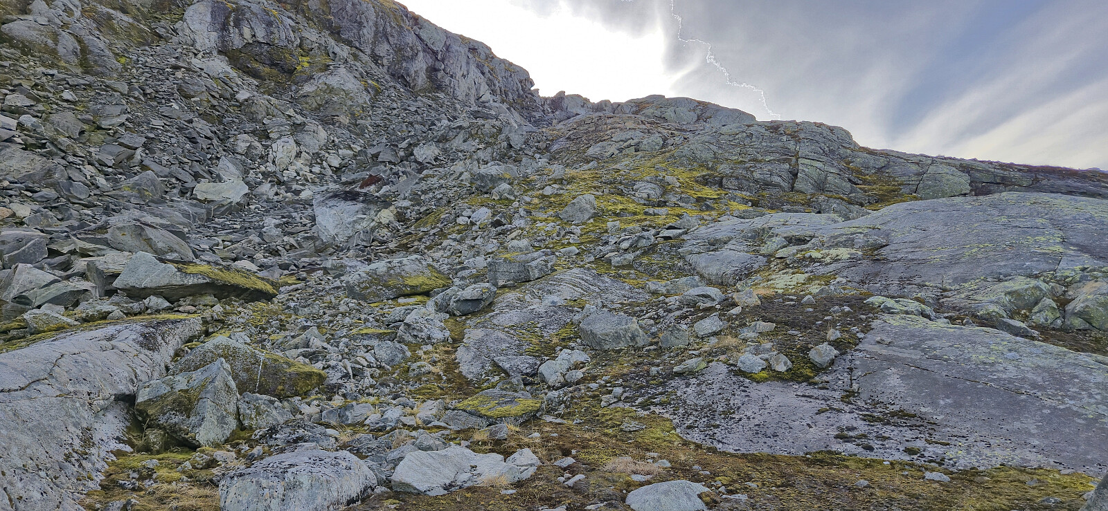
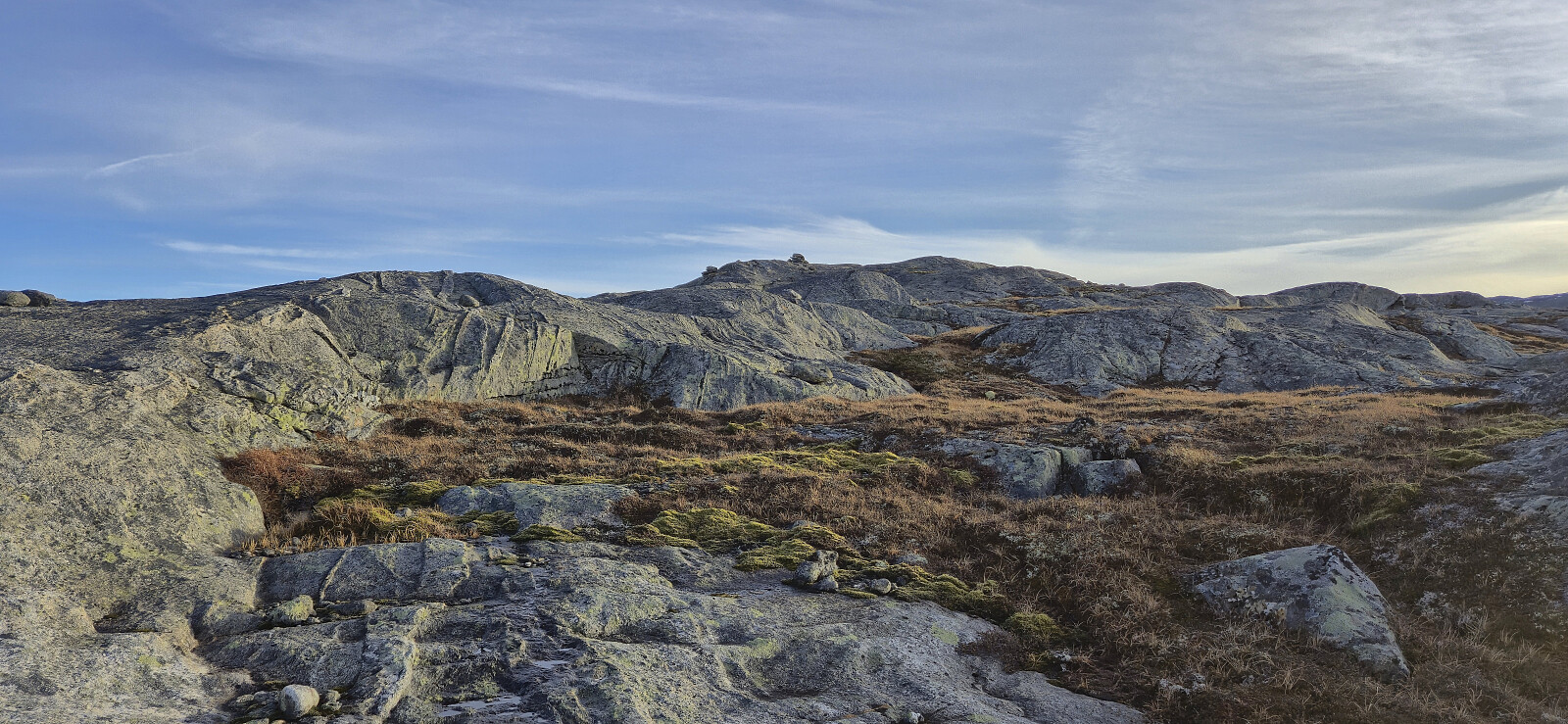
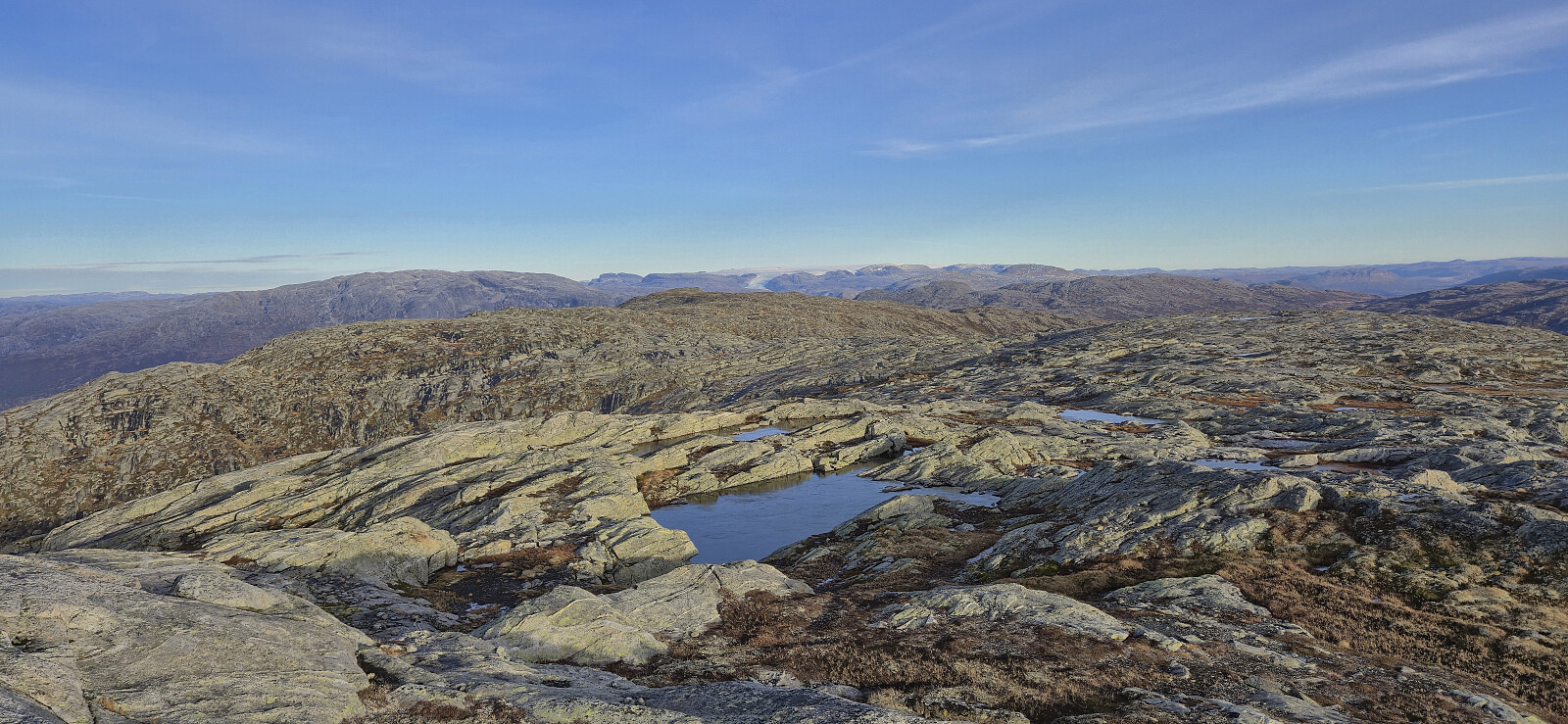
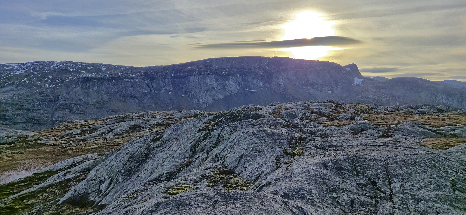
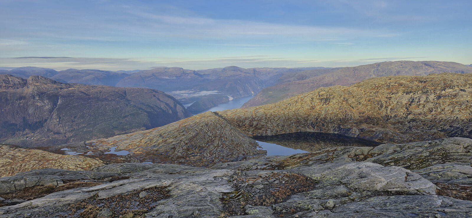
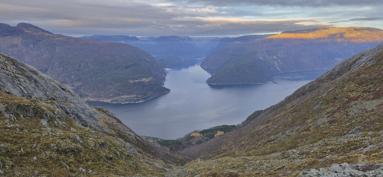
When getting close to the top of the pass, the trail split and I followed the option heading to Smyttet and from there followed a rather weak trail to the summit of Bunuten. After a couple of pictures of the excellent views, I returned the same way to Smyttet and tried to follow an even weaker trail up to point 998 to reconnect with the proper trail. This worked out ok, but it would probably have been easier to return northeast and reconnect with the trail there instead.

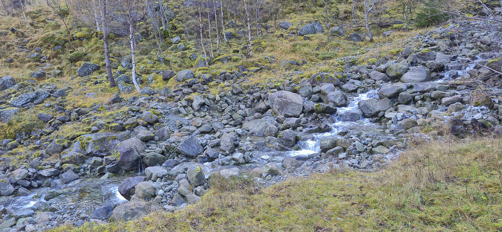
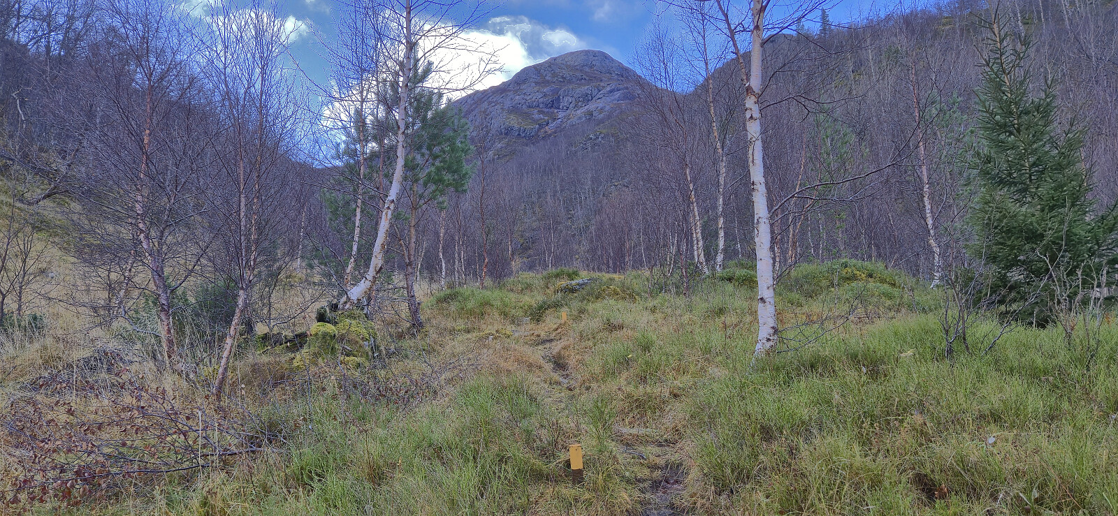
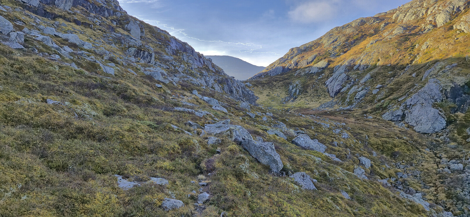
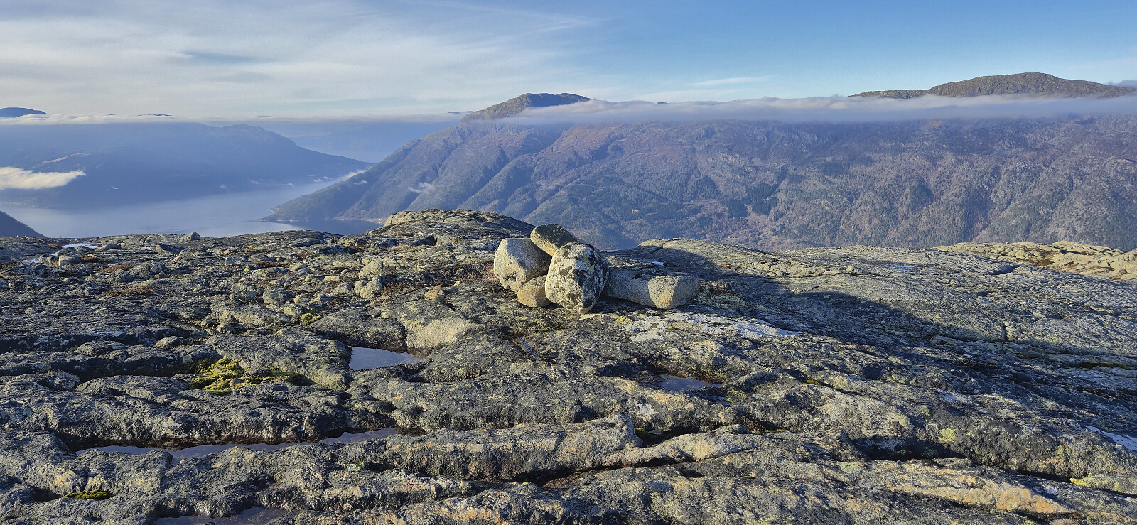
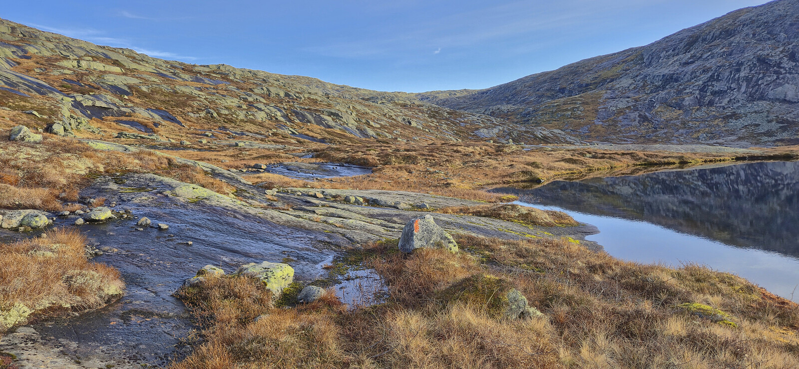
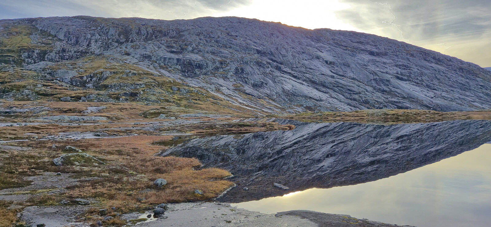
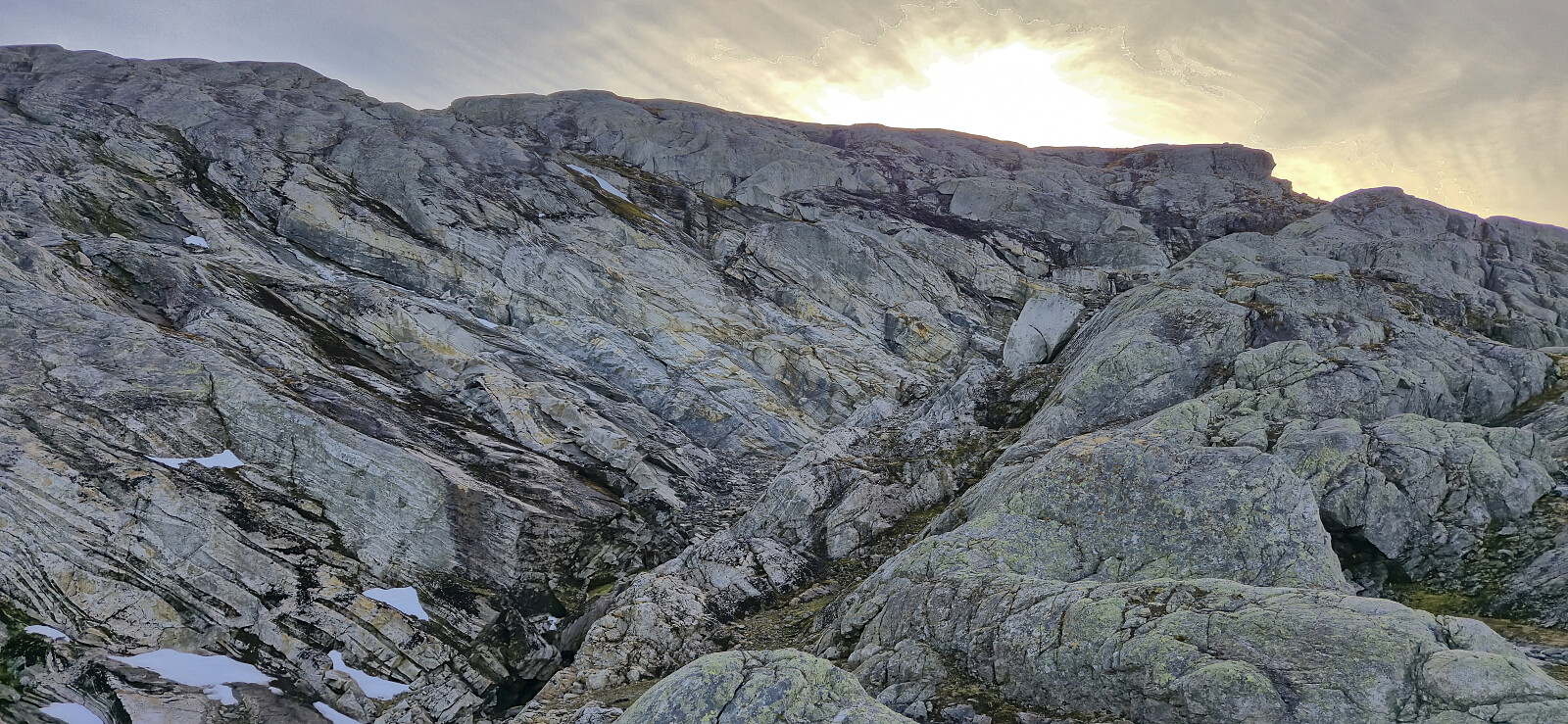
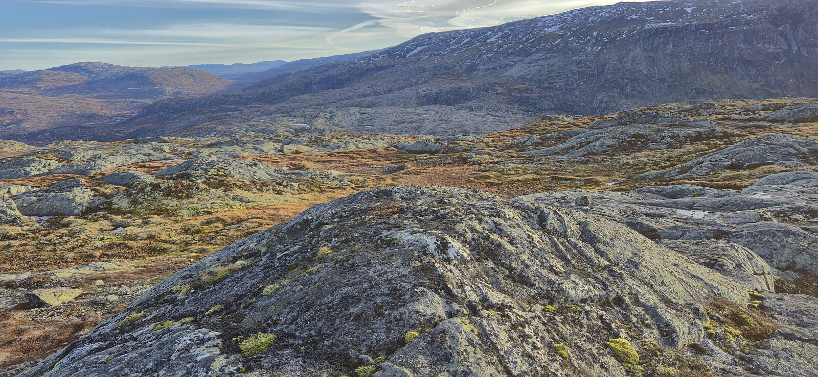
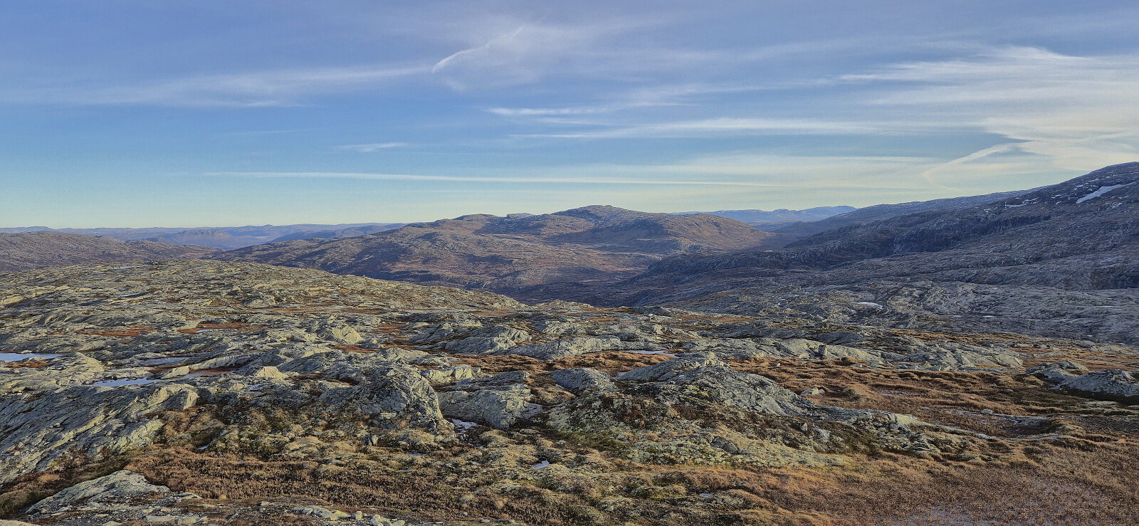
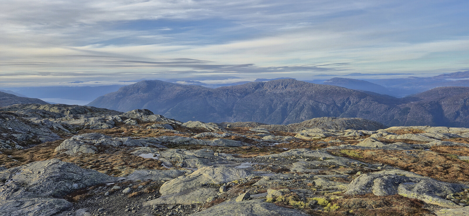
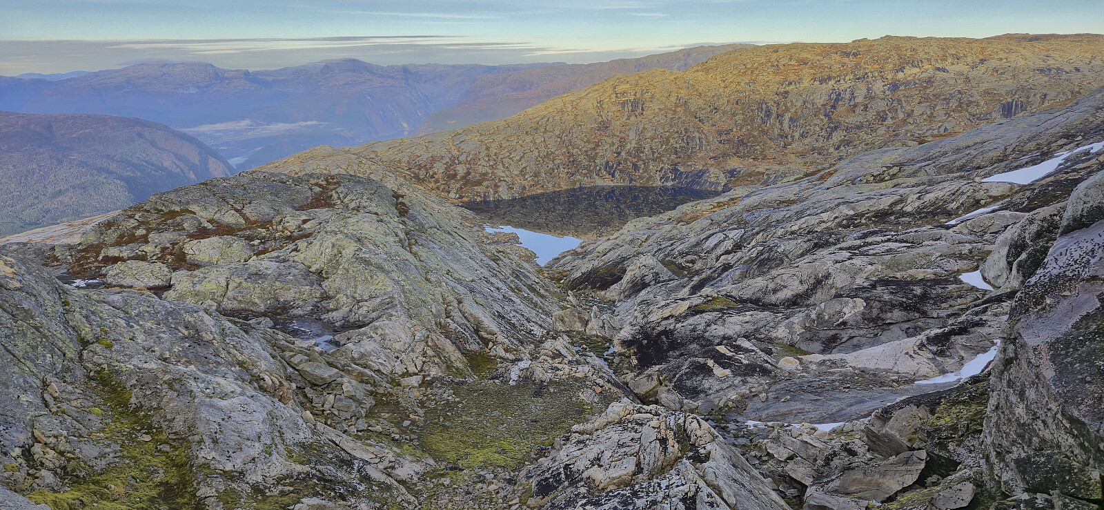
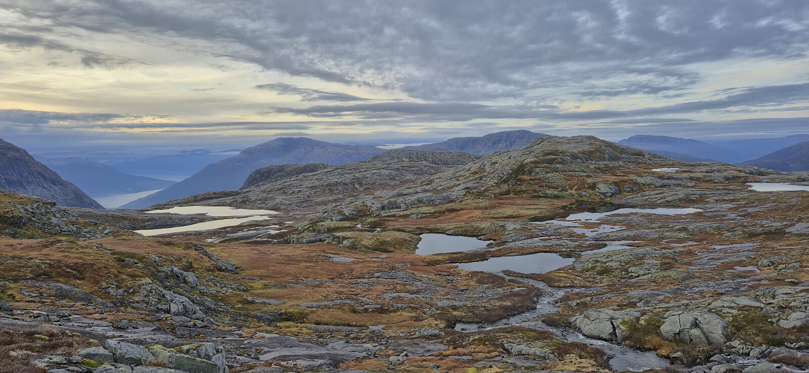
Now I was on a trail marked with a combination of orange paint and small cairns that could be easily followed east/southeast, with the only challenge being the wet and slippery surfaces. After another easy stream crossing west of Storavatnet, I however soon left the marked trail and headed off-trail towards Vatnasetenuten. The terrain here was a bit more complicated than expected with lots of micro terrain to navigate, and slippery surfaces that did not make it any easier.

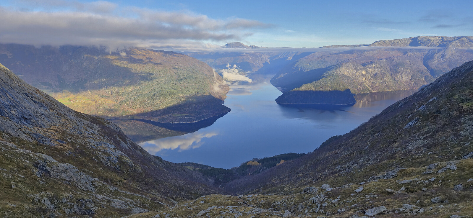
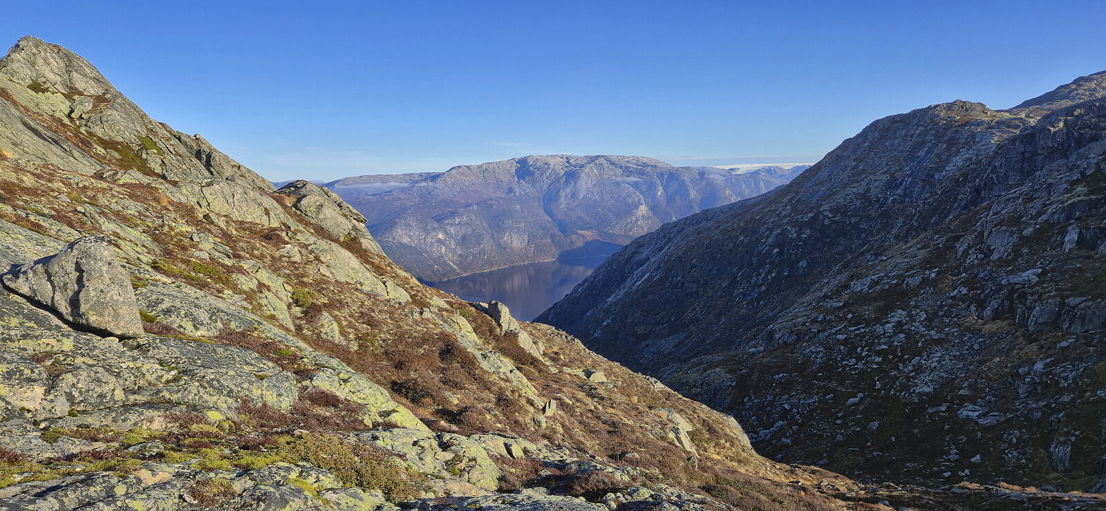
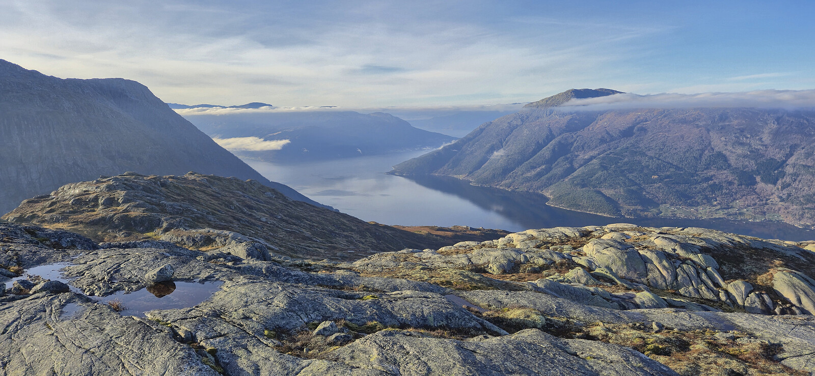
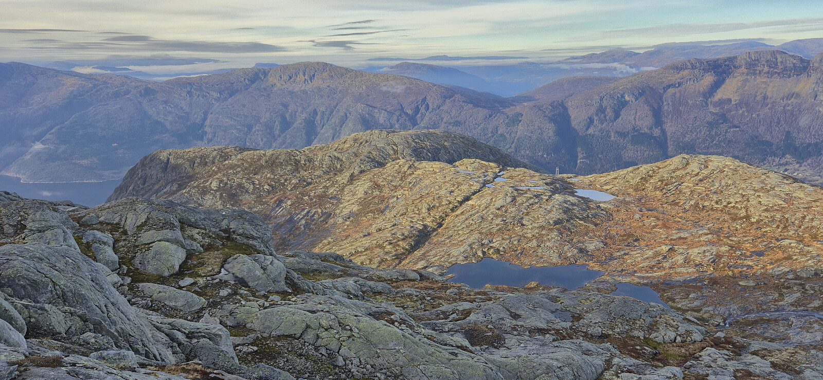
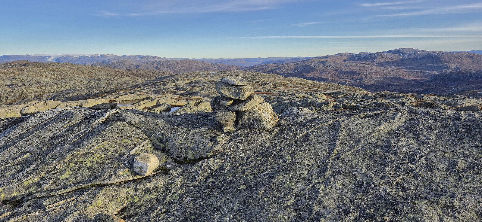
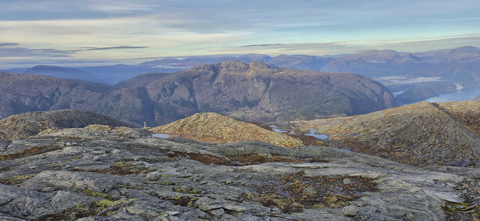
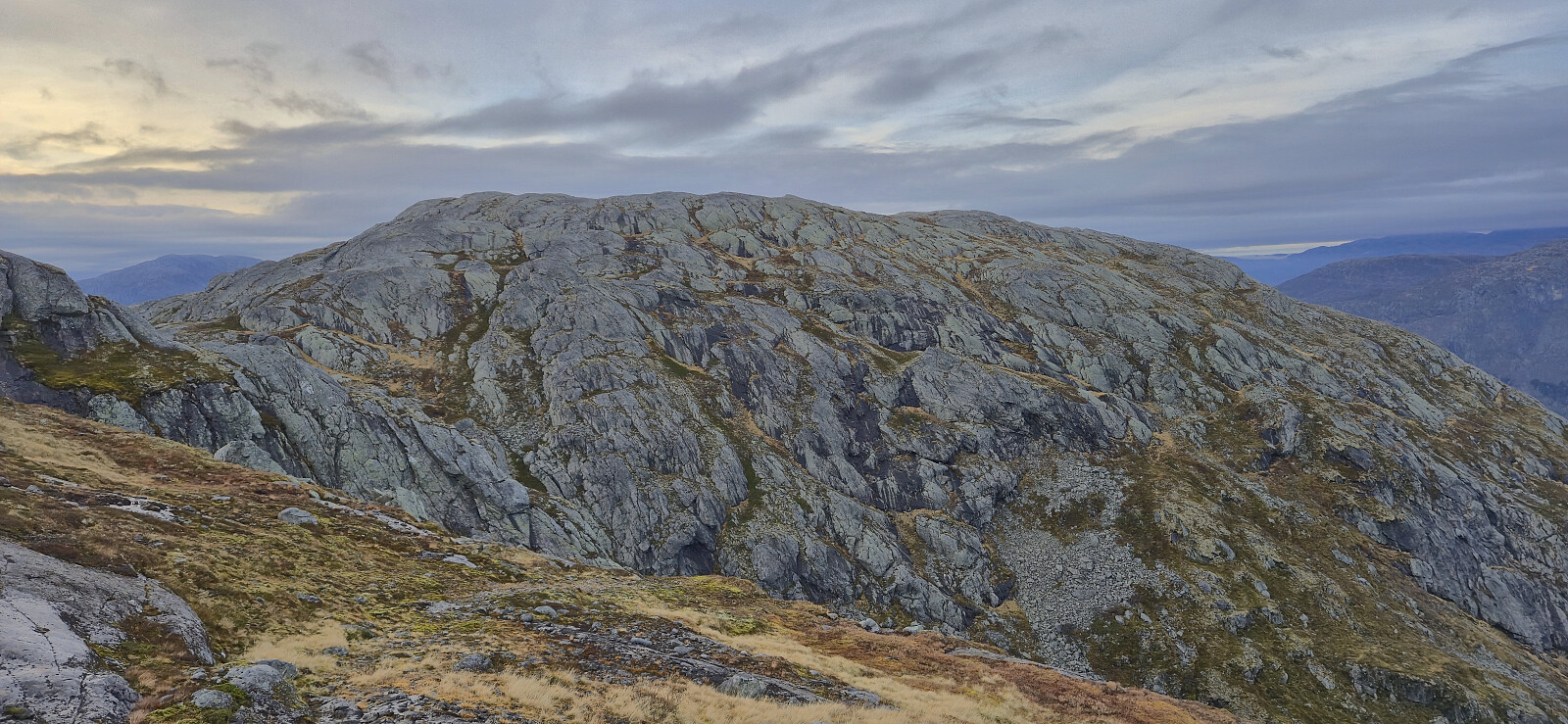
In the end, I managed to find a relatively straightforward route to the summit and could enjoy the spectacular panoramic views. After a short break, I started my descent along more or less the same route and later returned to Indre Bu without any issues.

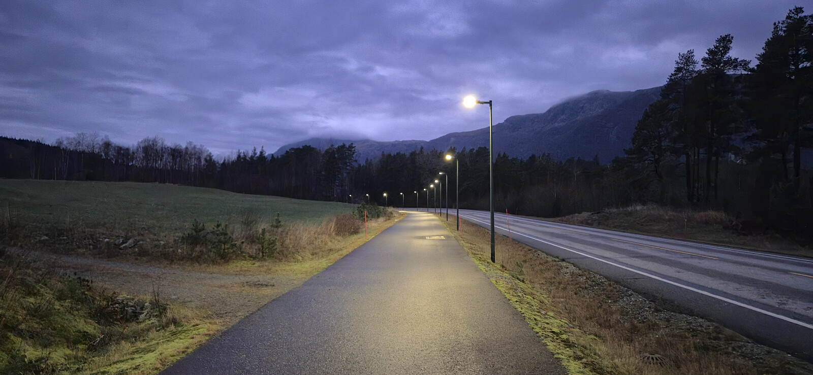
All that remained was then to get to the bus stop for the bus back to Voss. This required a crossing of Hardangerbroen, as it was too long to wait for the next bus from Bu terminal, but by using the separate cycling and walking paths and I easily arrived at the bus stop with around 20 minutes to spare.

To conclude, an excellent hike with great views that can be highly recommended. Note that due to the slippery surfaces between the two peaks, it is probably not recommended to do this hike under icy conditions.


Approaching Smyttet southeast of Bunuten
Onen from the final ascent to Bunuten
Hardangerjøkulen from near the summit of Bunuten
The large cairn at Bunuten (not at the summit!)
The highest point at Bunuten with Oksen in the background. Ingebjørgfjellet to the right.
Eidfjorden from Bunuten with Grimsnuten to the left and Oksen to the right
Vatnasetenuten from the descent from Bunuten
The marked trail to Storavatnet
Vatnasetenuten from the unnamed smaller lake west of Storavatnet
Easy stream crossing west of Storavatnet
The start of my off-trail ascent to Vatnasetenuten
Off-trail ascent to Vatnasetenuten
Example of the slippery micro terrain north of Vatnasetenuten
Looking back at Bunuten from the ascent to Vatnasetenuten
Approaching the ascent of Vatnasetenuten
The cairn at Vatnasetenuten (not at the highest point!)
The highest point at Vatnasetenuten
Ovaldsnuten from Vatnasetenuten
Hardangerjøkulen from Vatnasetenuten
Oksen and Ingebjørgfjellet from Vatnasetenuten
Storeflåtten from Vatnasetenuten
Midtfjell from the descent from Vatnasetenuten
Vassfjøro and Osafjorden from the descent from Vatnasetenuten
Descending towards Storavatnet
towards Bunuten from west of Storavatnet
Looking back up at Bunuten from the east
Osafjorden from the descent with Onen to the right
Following the cycling and walking path back to Bu
Hardangerbroen
Hardangerbroen
The rainbow colored lights in the walking/cycling tunnel used get on/off the bridge

Starttidspunkt 08.11.2025 09:58
(UTC+01:00)
Sluttidspunkt 08.11.2025 17:31
(UTC+01:00)
Totaltid 7t 32min
Bevegelsestid 6t 52min
Pausetid 0t 40min
Snittfart totalt 2,9km/t
Snittfart bevegelsestid 3,2km/t
Distanse 22,2km
Høydemeter 1484m

Kommentarer

Tittel:
Tilgjengelige tegn: 1000
Kommentartekst:
Du må være innlogget for å skrive kommentarer.