Hetlebakksåta, Svartafjellet, Kletten and Eika (27.06.2025)

| Startsted | Myrsæter (58moh) |
|---|---|
| Sluttsted | Arnavegen (100moh) |
| Turtype | Fjelltur |
| Turlengde | 2t 17min |
| Distanse | 6,8km |
| Høydemeter | 372m |
| GPS |
|
| Bestigninger | Hetlebakksåta (334moh) | 27.06.2025 18:24 |
|---|---|---|
| Svartafjellet (265moh) | 27.06.2025 18:36 | |
| Eika (186moh) | 27.06.2025 19:07 |
Hetlebakksåta, Svartafjellet, Kletten and Eika
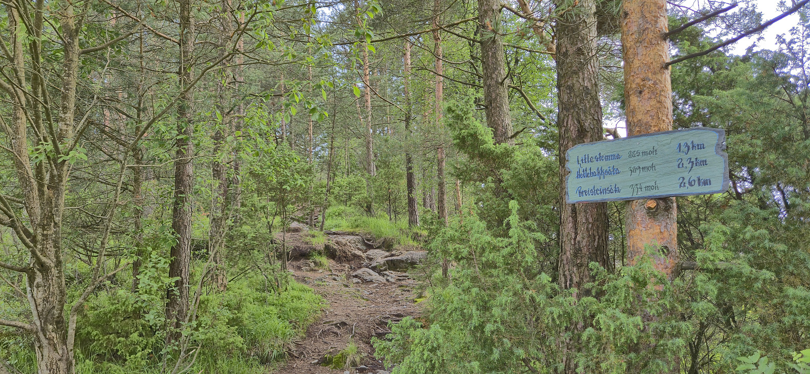
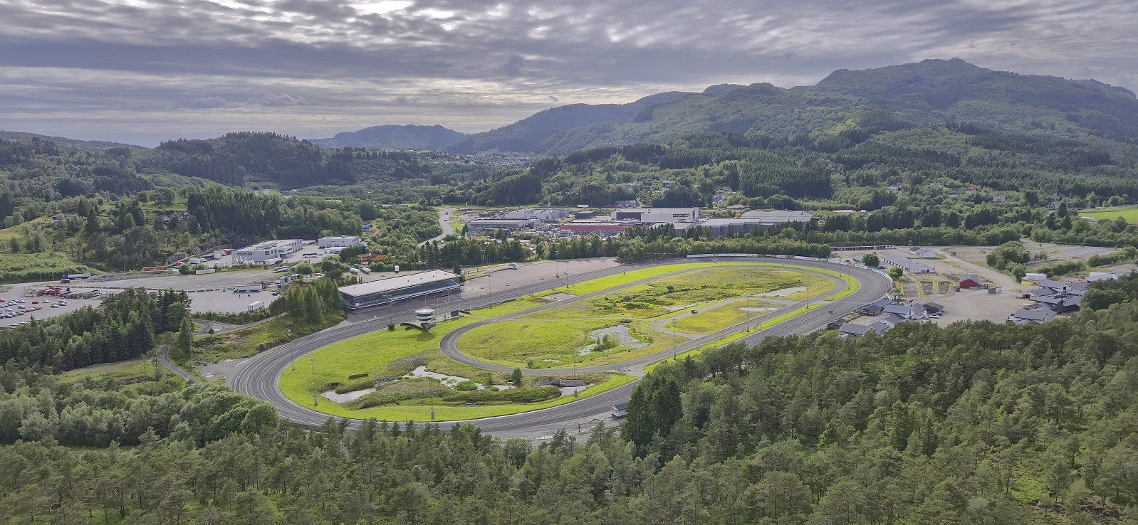
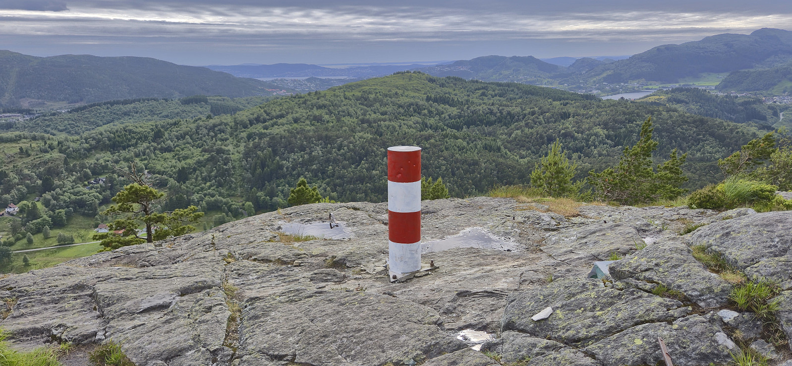
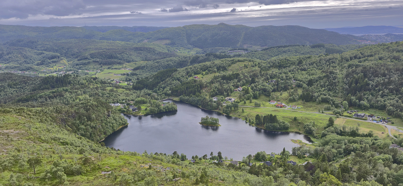
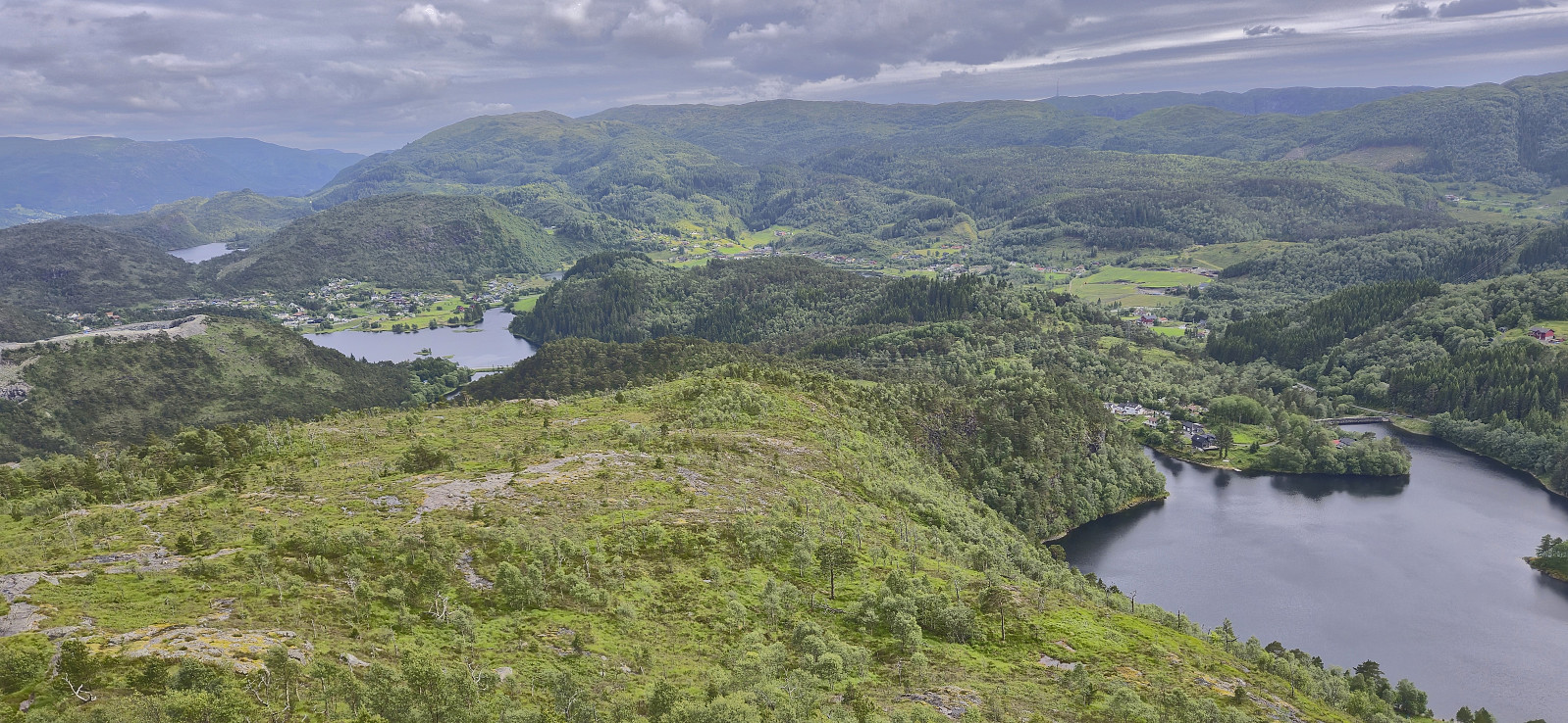
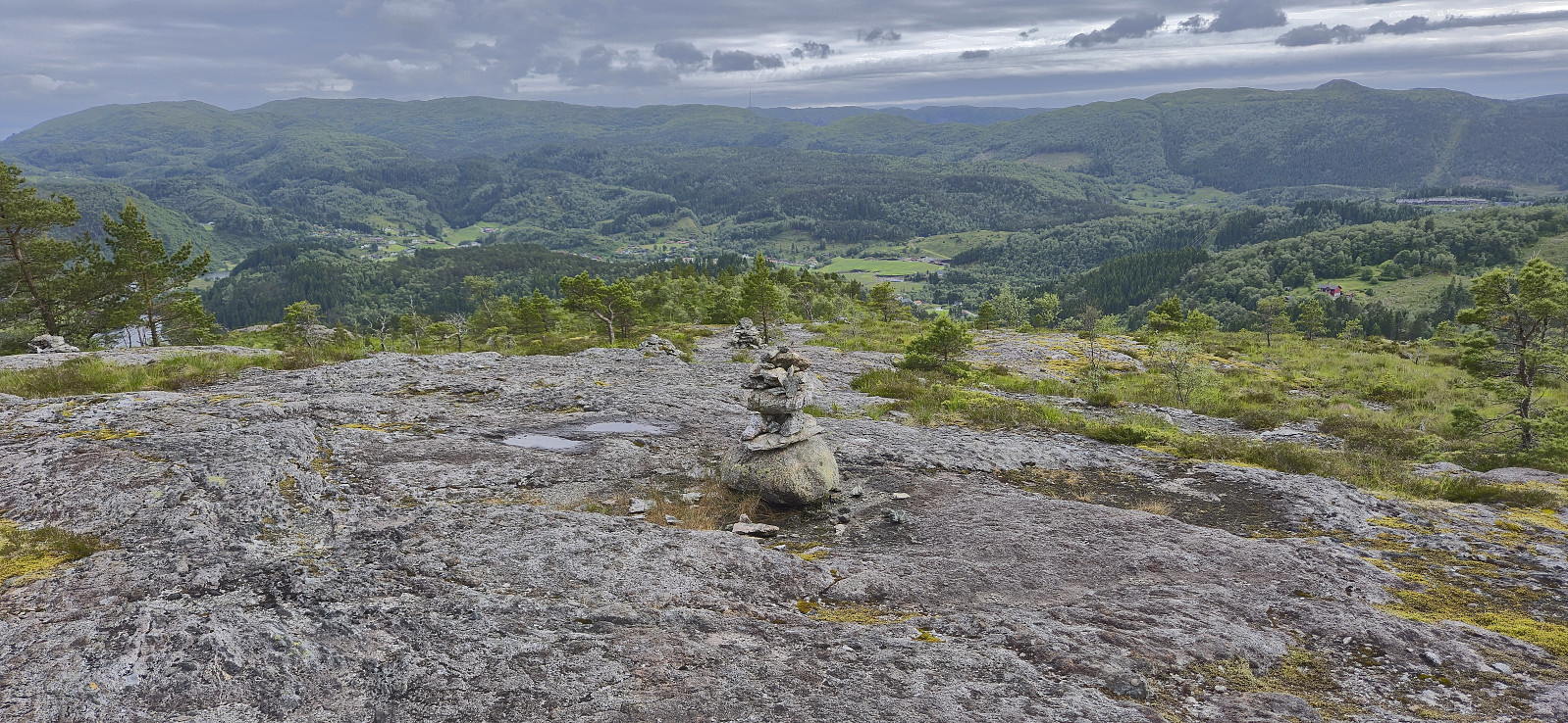
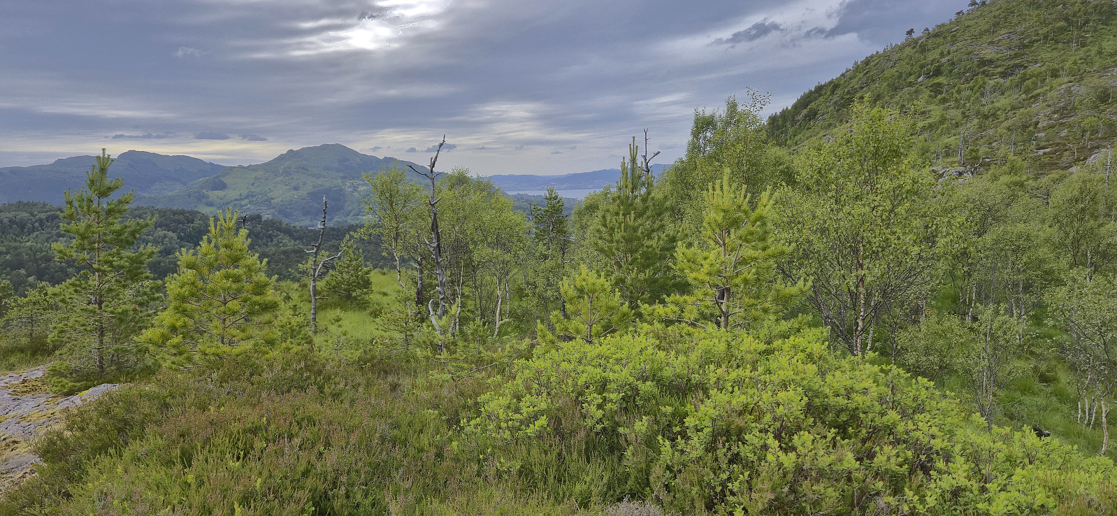
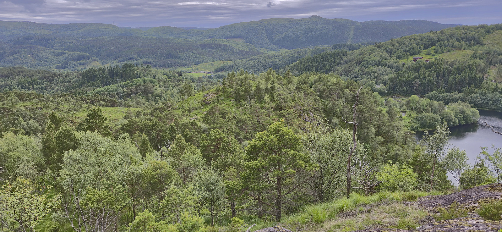
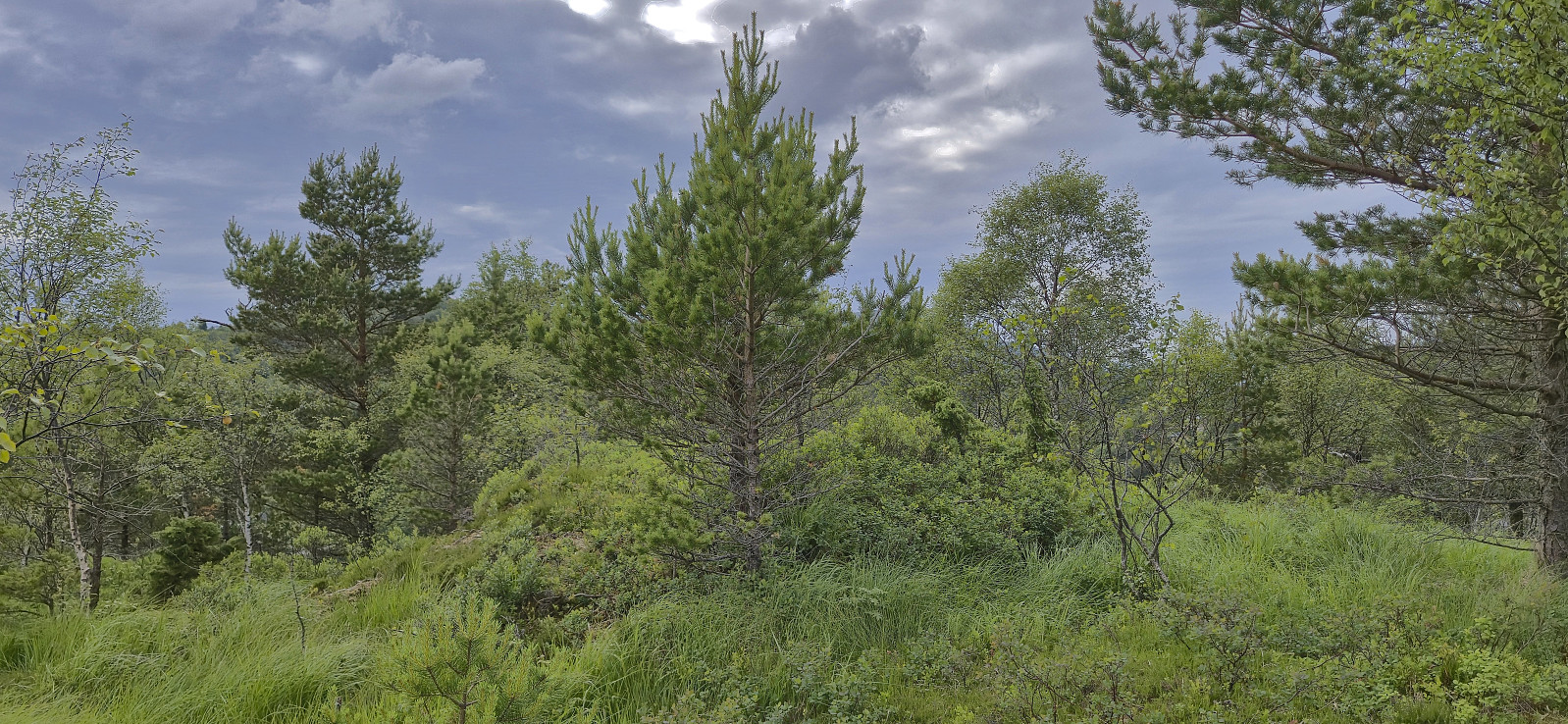
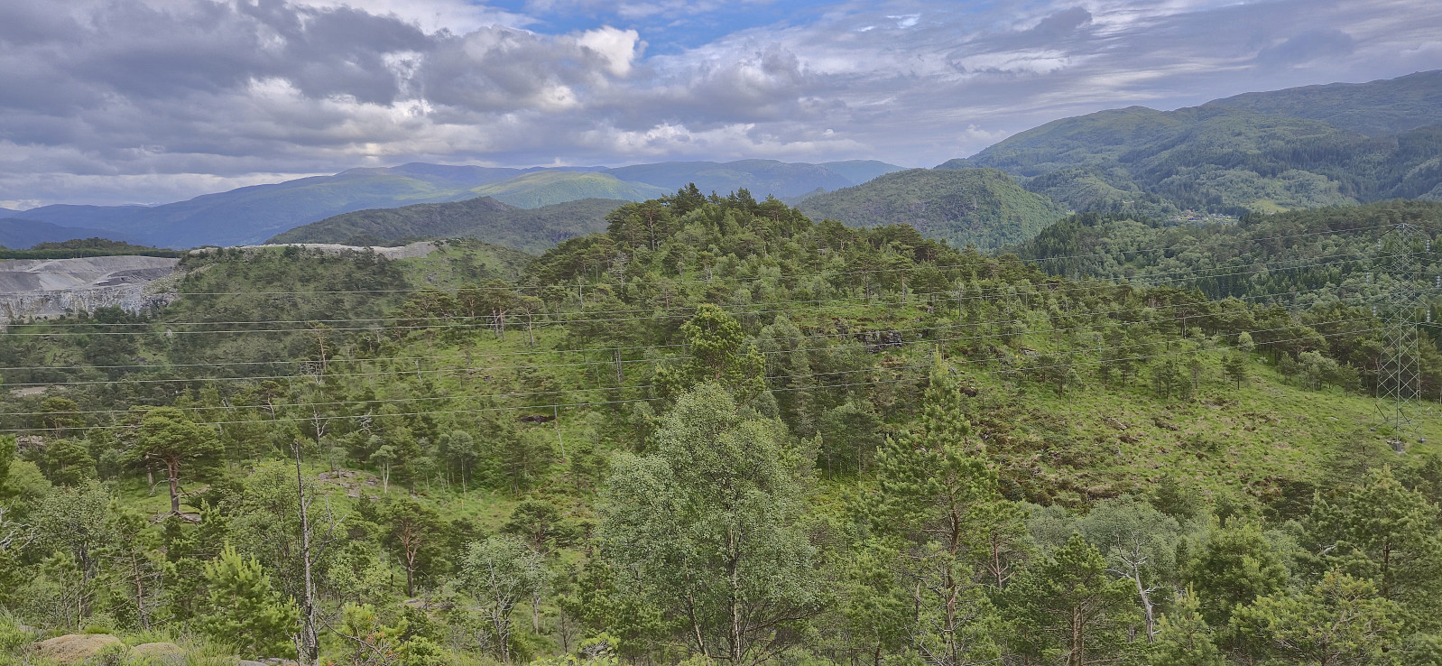
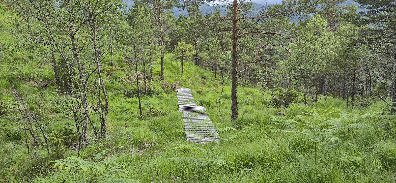
A revisit of Hetlebakksåta with the main objective of also ascending a recent addition to the Alle topper i Bergen list: Eika. After following the usual trail from the north along the ridge to the top of Hetlebakksåta, I continued on the trail towards Svartafjellet. Here I had a short break before descending off-trail to Eika, making a short detour on the way to ascend Kletten - a slightly higher hill a bit further north. I then headed west to the southern end of Hetlebakkstemma where I connected with a weak trail that also had a couple of wooden bridges seemingly built for mountain biking. After passing by the houses at the end of the street, the hike was concluded by following the road to Blindheim from where I took the bus home to Lønborg.

| Starttidspunkt | 27.06.2025 17:28 (UTC+01:00 ST) |
| Sluttidspunkt | 27.06.2025 19:46 (UTC+01:00 ST) |
| Totaltid | 2t 17min |
| Bevegelsestid | 2t 02min |
| Pausetid | 0t 14min |
| Snittfart totalt | 3,0km/t |
| Snittfart bevegelsestid | 3,3km/t |
| Distanse | 6,8km |
| Høydemeter | 371m |

Kommentarer