Olsokfjellet and Lyreneset (16.04.2024)

| Startsted | Gyldenpris (23moh) |
|---|---|
| Sluttsted | Lyderhornsveien (24moh) |
| Turtype | Fjelltur |
| Turlengde | 3t 39min |
| Distanse | 10,6km |
| Høydemeter | 533m |
| GPS |
|
| Bestigninger | Damsgårdsfjellet (344moh) | 16.04.2024 |
|---|---|---|
| Olsokfjellet (353moh) | 16.04.2024 | |
| Andre besøkte PBE'er | Trigpunkt nord på Damsgårdfjellet (315moh) | 16.04.2024 |
| Lyreneset (5moh) | 16.04.2024 |
Olsokfjellet and Lyreneset
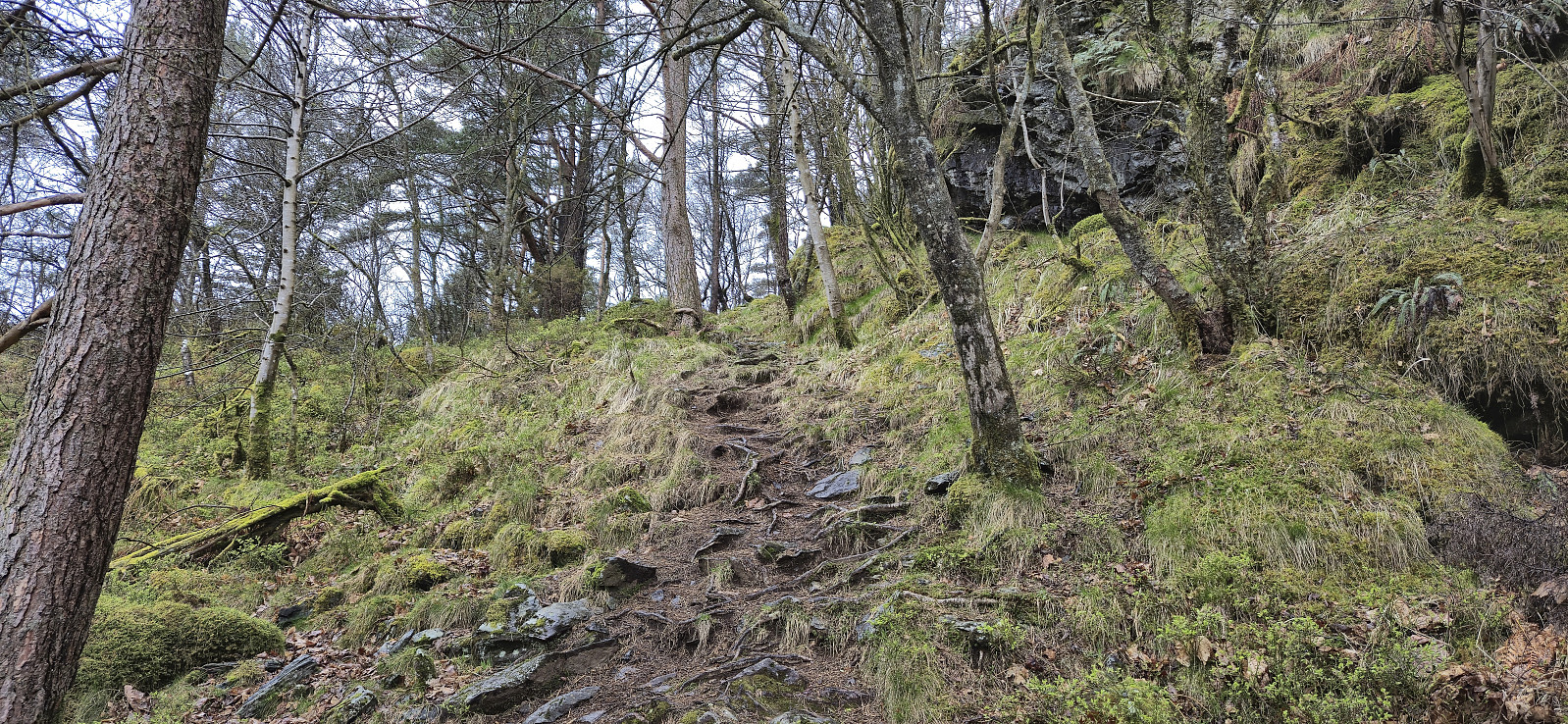
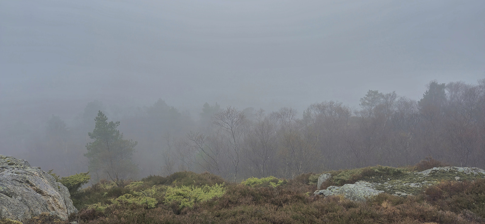
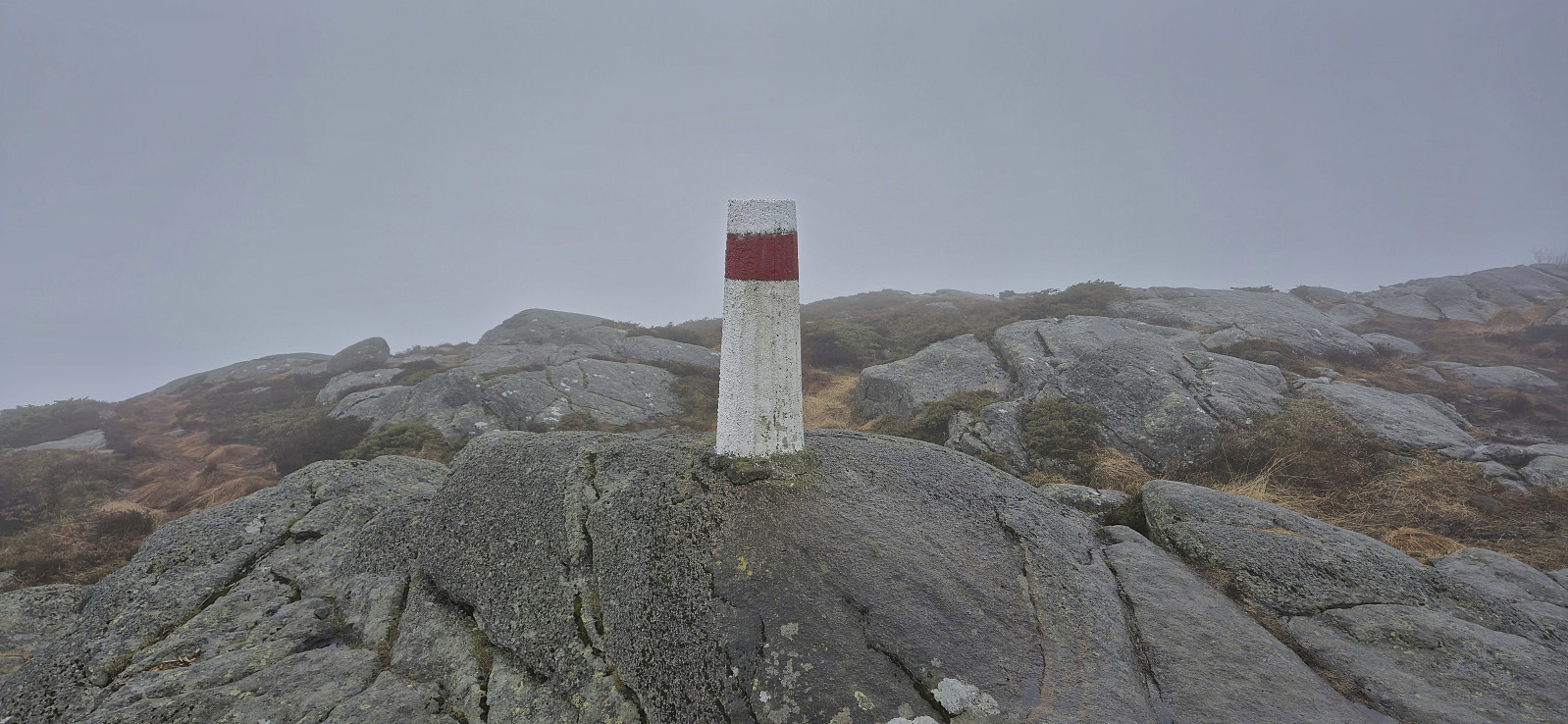
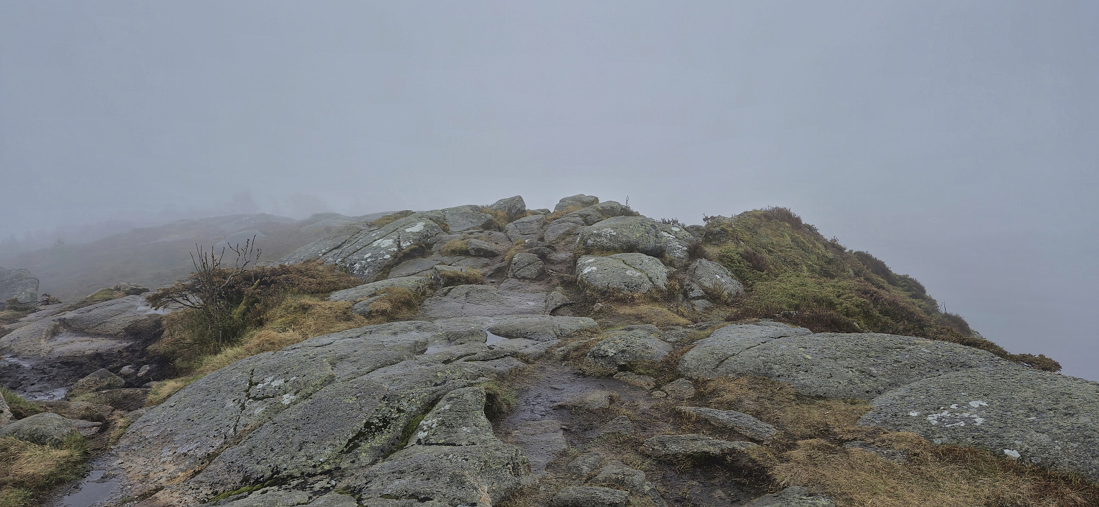
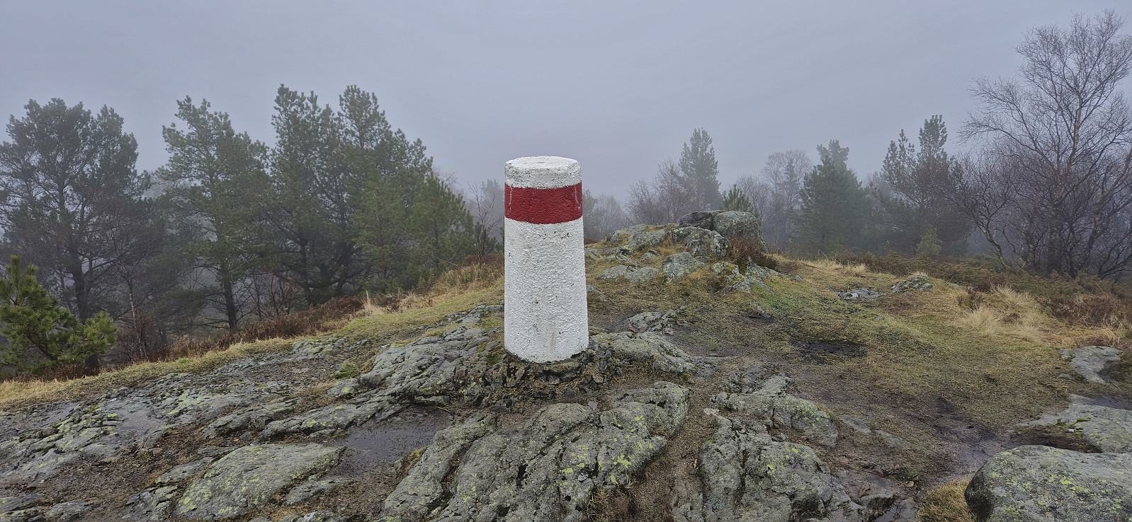
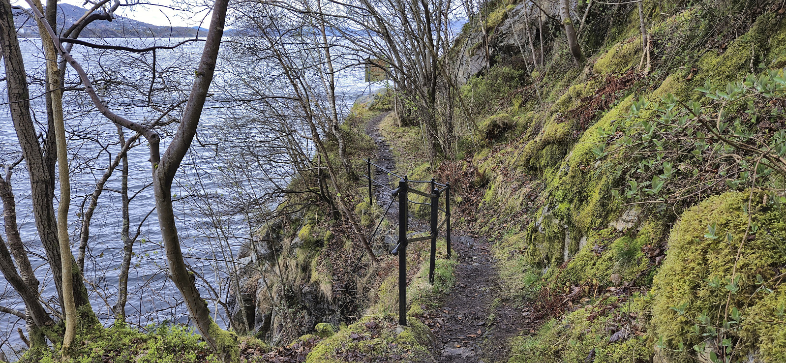
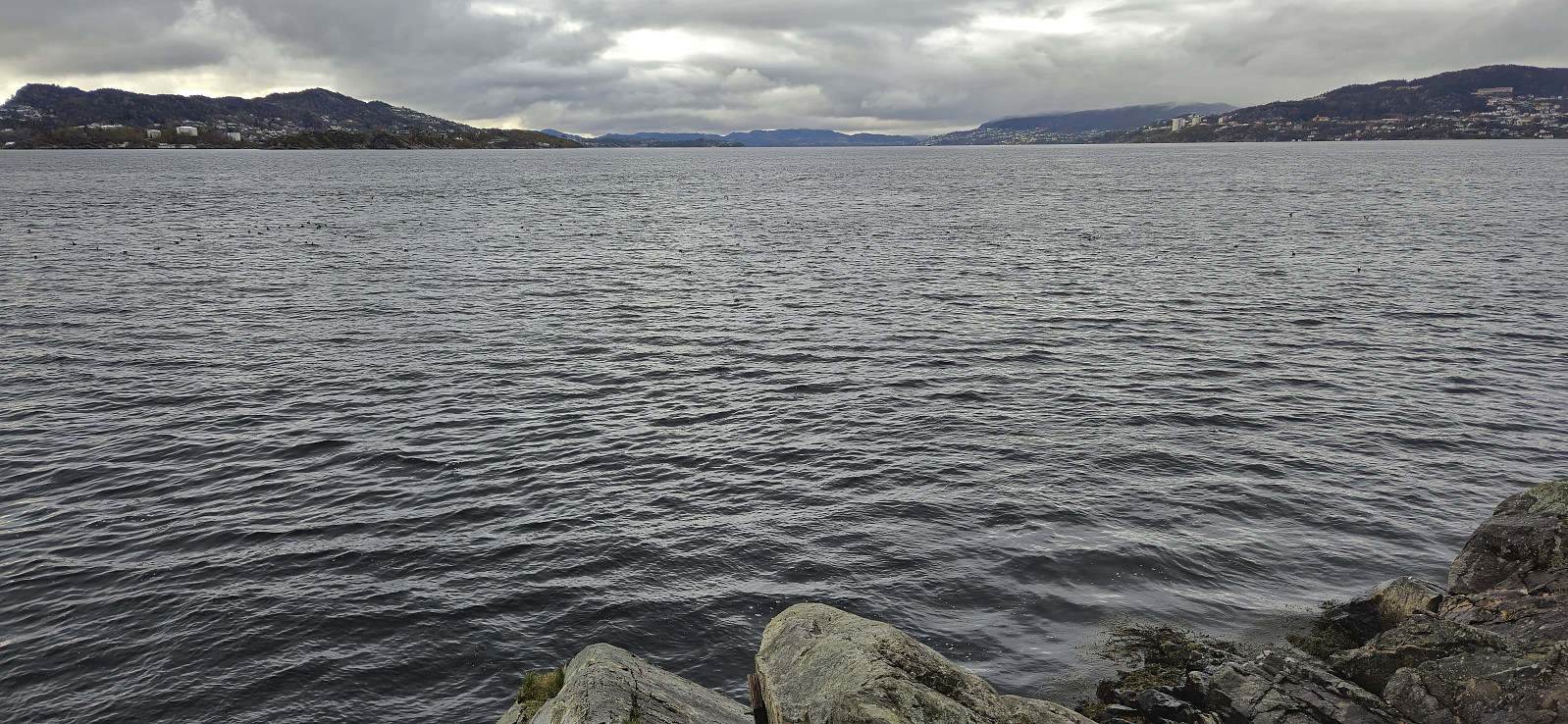
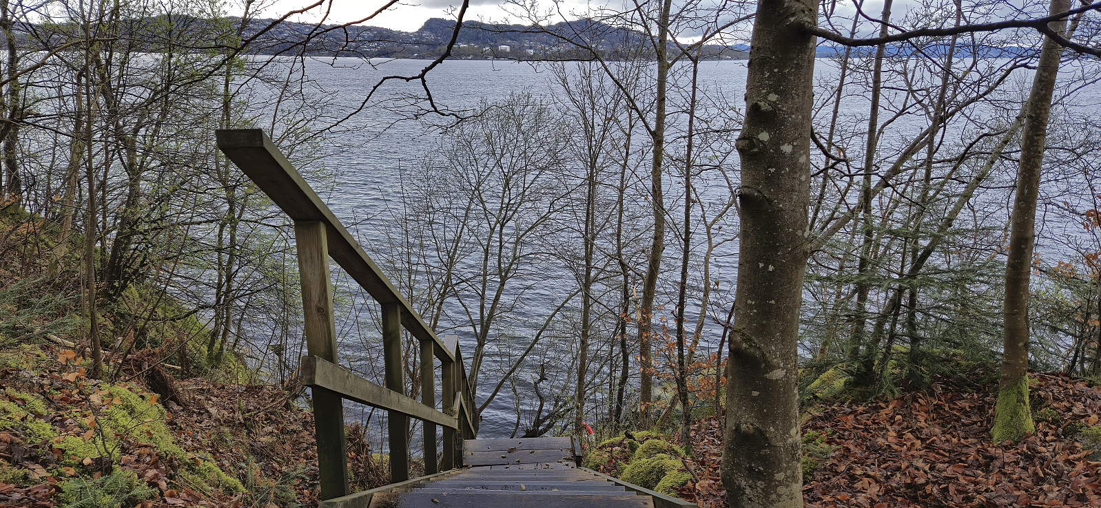
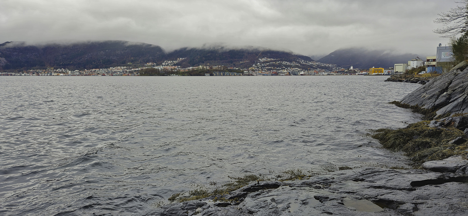
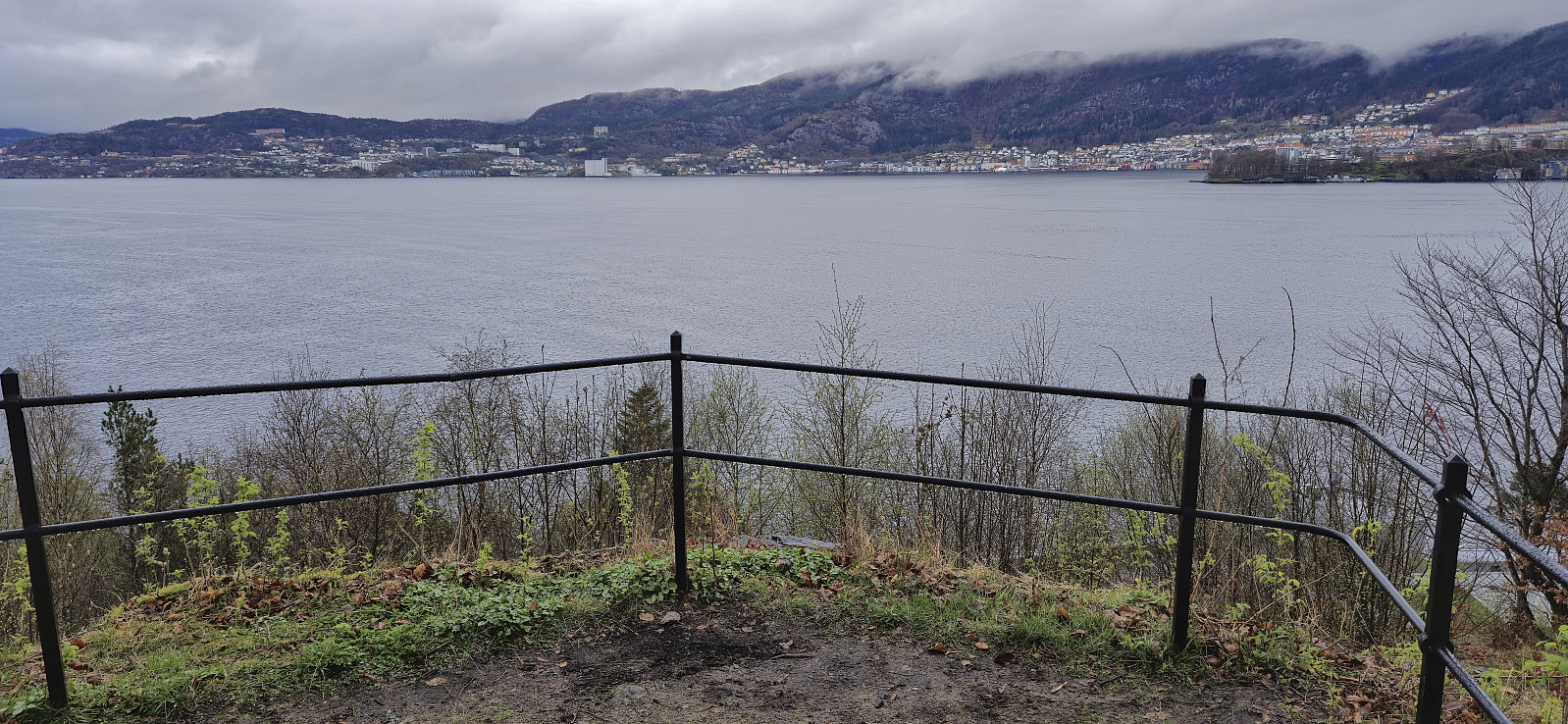
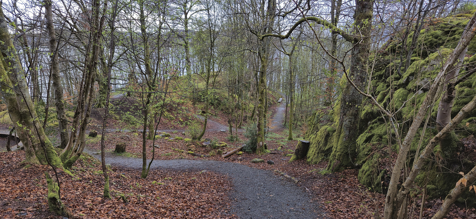
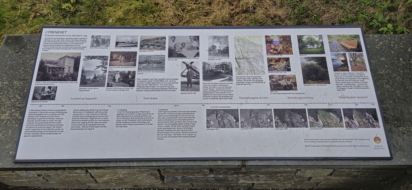
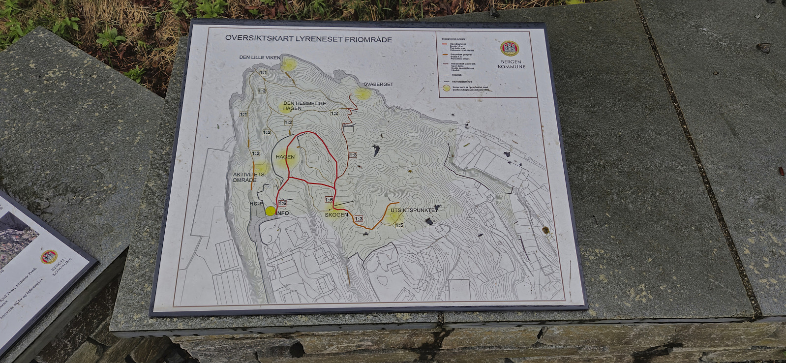
One of my colleagues suggested that we should do a short hike to Olsokfjellet after work, mainly so that she could collect more "stolper" for Stolpejakten, and we managed to get one additional colleague to join. The nice weather we had been promised when deciding on the hike the day before was however replaced by rain showers for the first part of the hike and a dense fog hiding most of the views. After descending via Damsgårdsfjellet to Laksevåg, two of us continued north to finish of the hike with an interesting exploration of Lyreneset.

| Starttidspunkt | 16.04.2024 15:52 (UTC+01:00 ST) |
| Sluttidspunkt | 16.04.2024 19:32 (UTC+01:00 ST) |
| Totaltid | 3t 39min |
| Bevegelsestid | 3t 30min |
| Pausetid | 0t 9min |
| Snittfart totalt | 2,9km/t |
| Snittfart bevegelsestid | 3,0km/t |
| Distanse | 10,6km |
| Høydemeter | 533m |

Kommentarer