Marøy (01.05.2023)

| Startsted | Marøy p-plass (18moh) |
|---|---|
| Sluttsted | Marøy p-plass (18moh) |
| Turtype | Fottur |
| Turlengde | 1t 14min |
| Distanse | 3,2km |
| Høydemeter | 113m |
| GPS |
|
| Bestigninger | Marøy (34moh) | 01.05.2023 |
|---|---|---|
| Andre besøkte PBE'er | Marøy p-plass (18moh) | 01.05.2023 |
Marøy
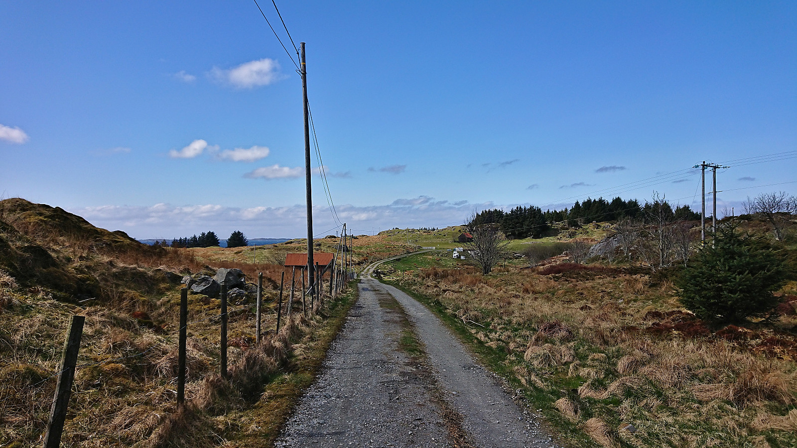
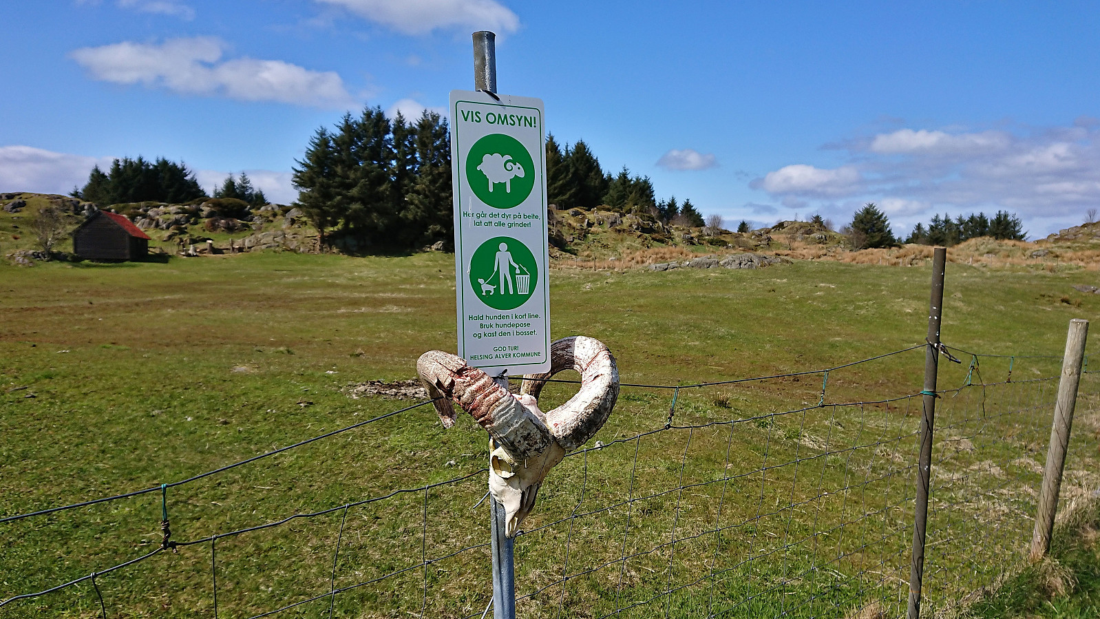
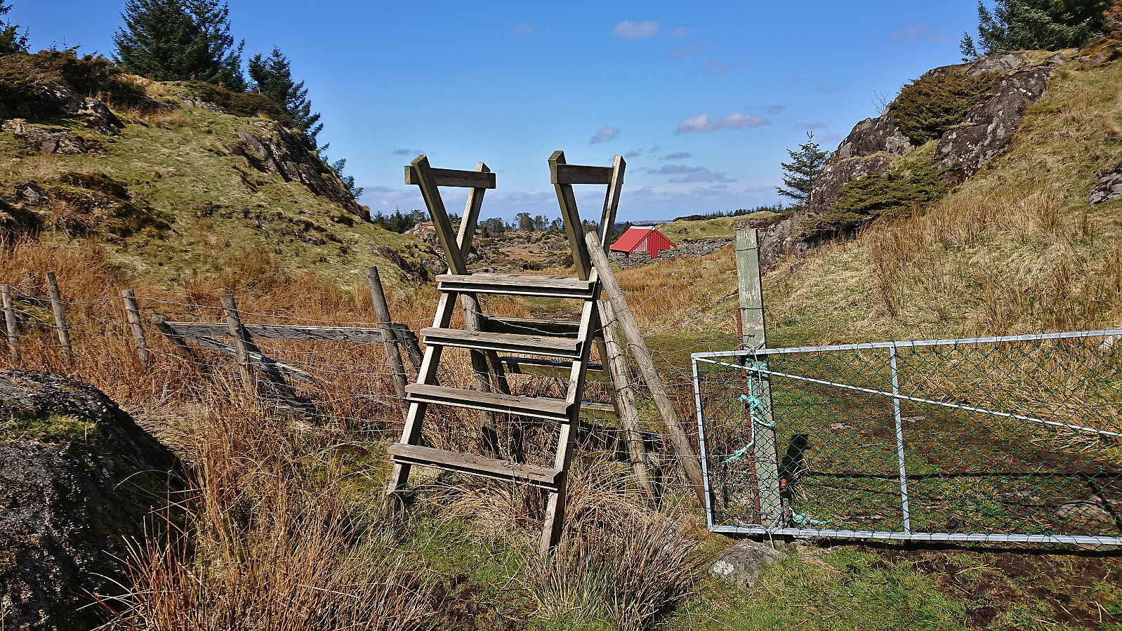
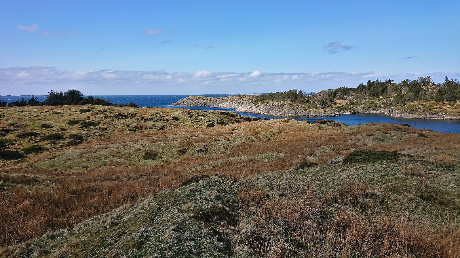
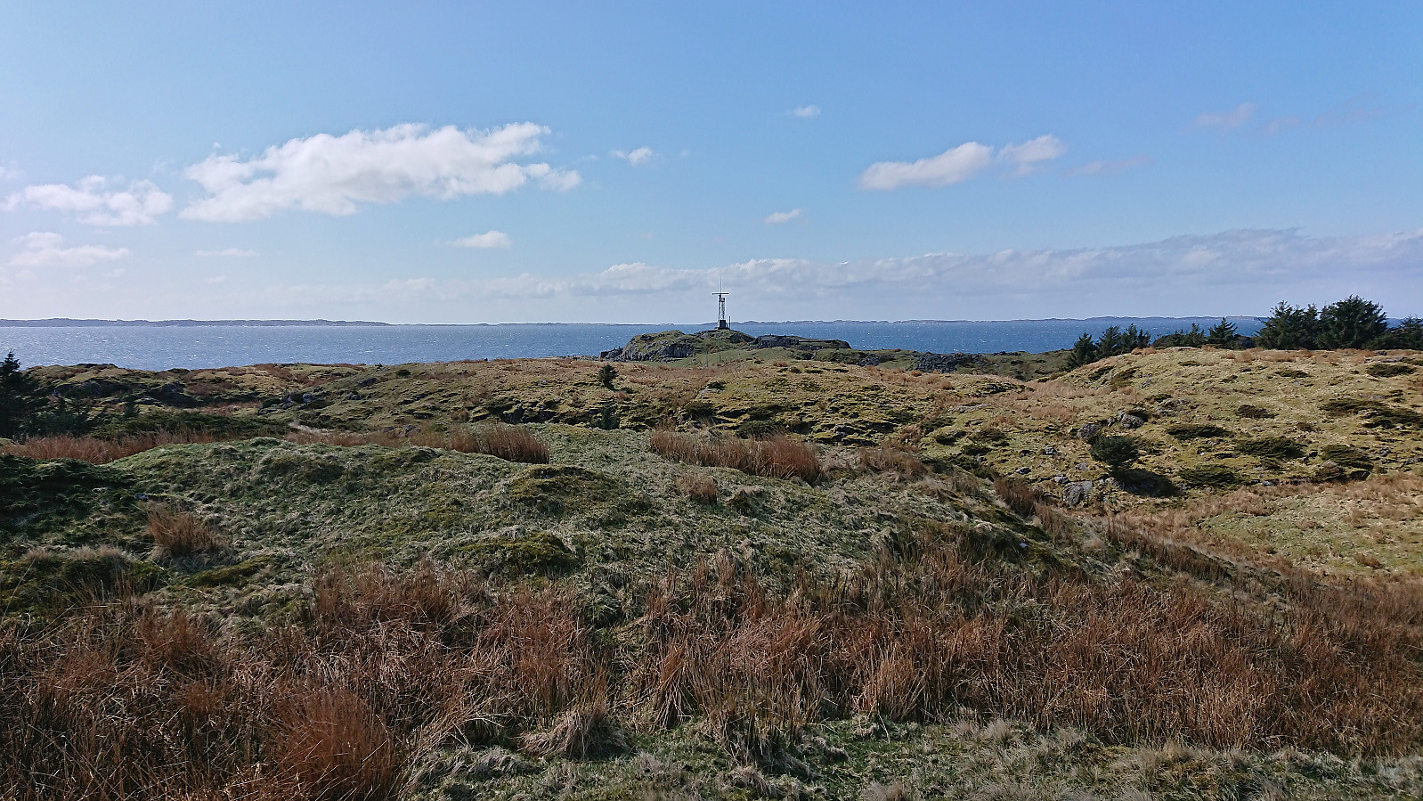
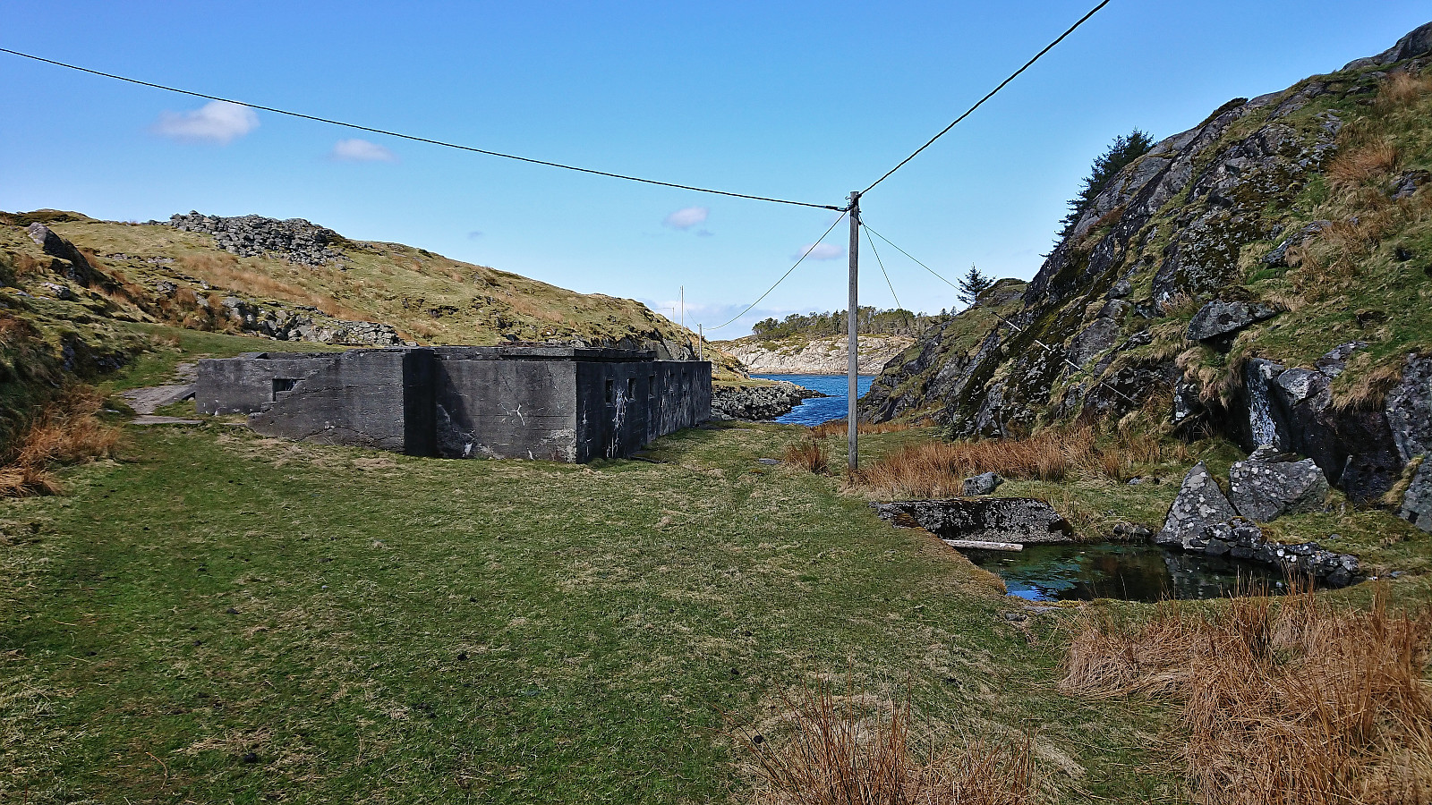
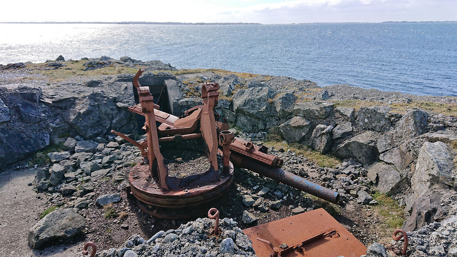
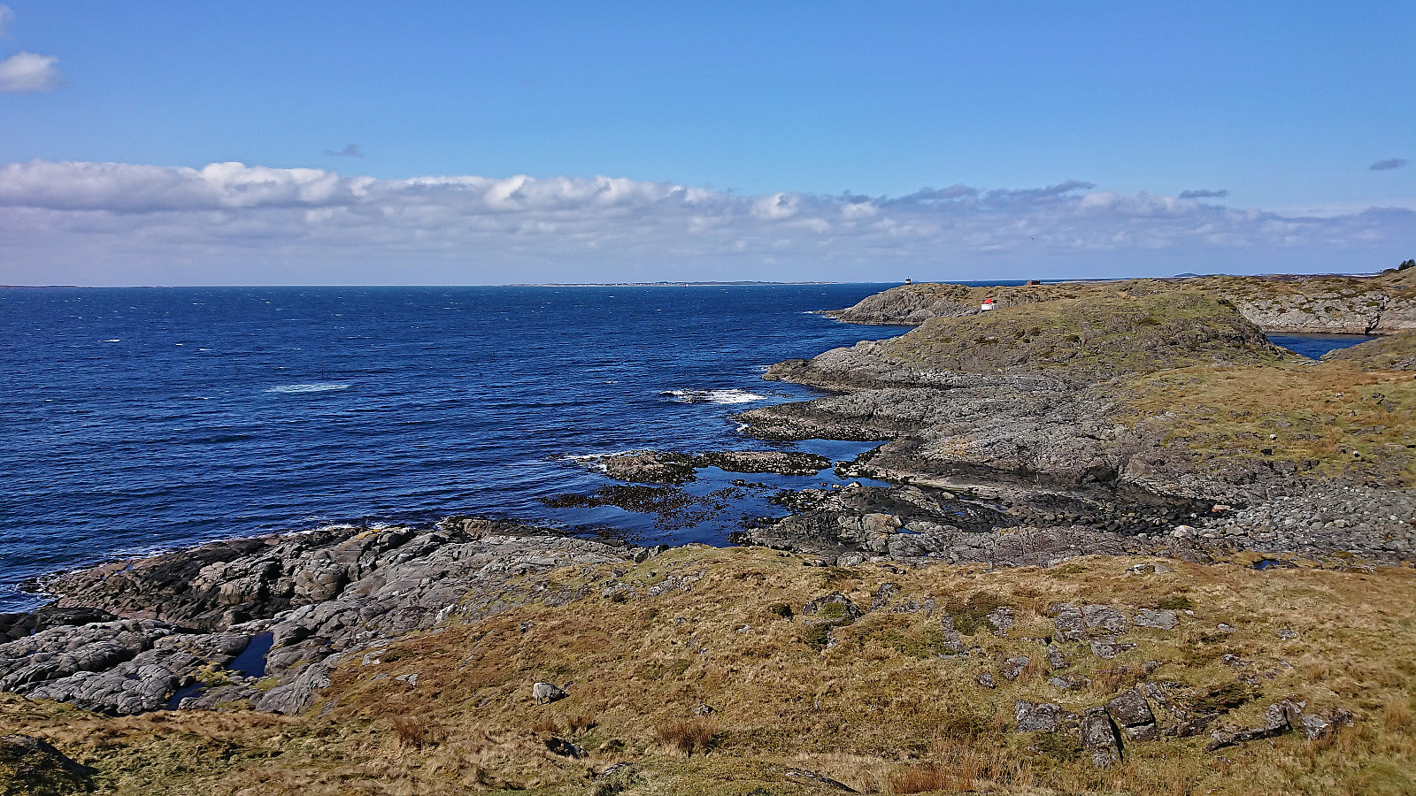
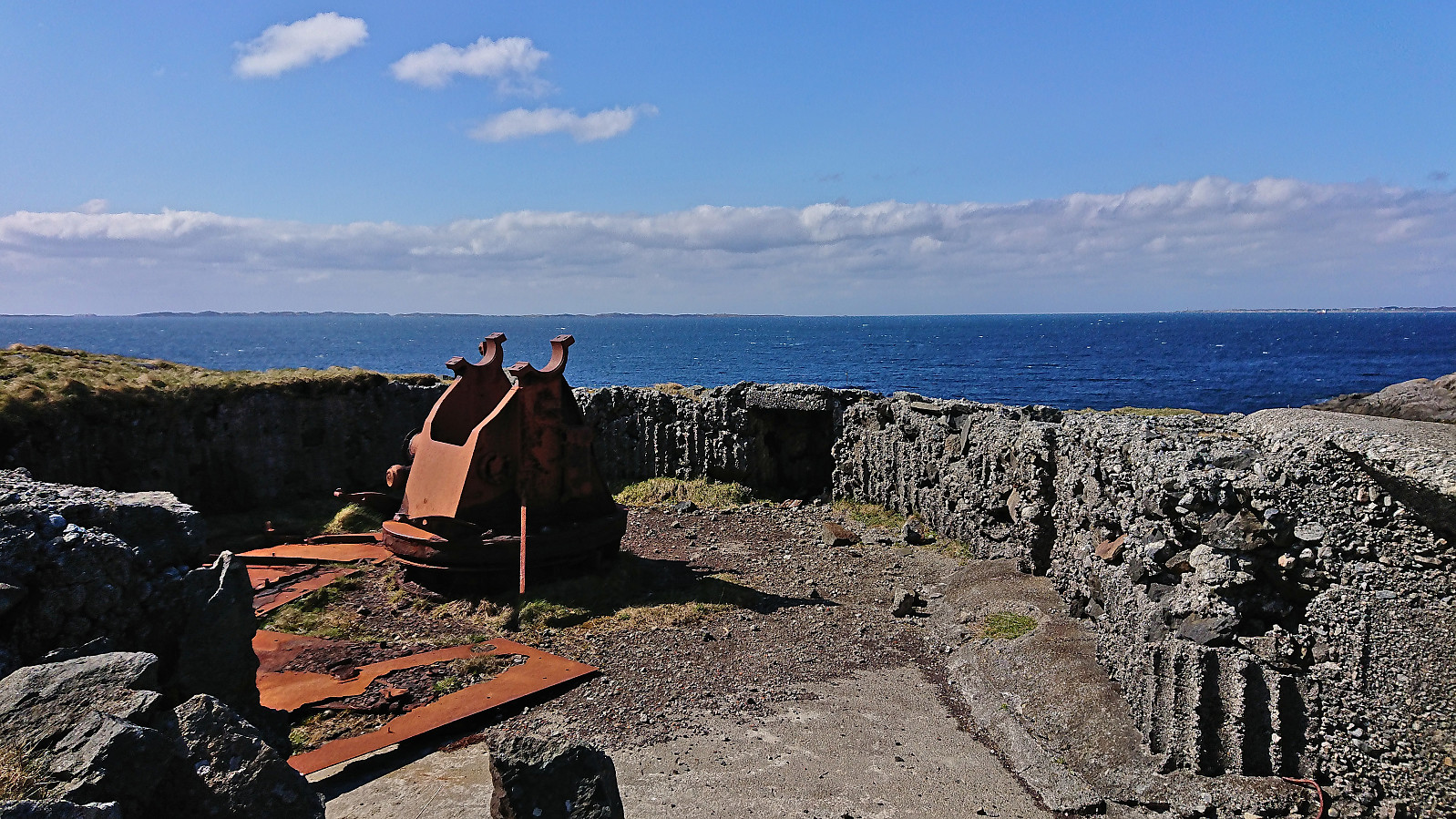
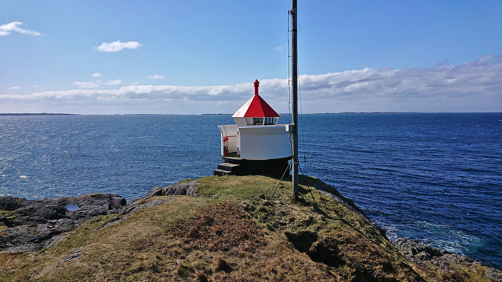
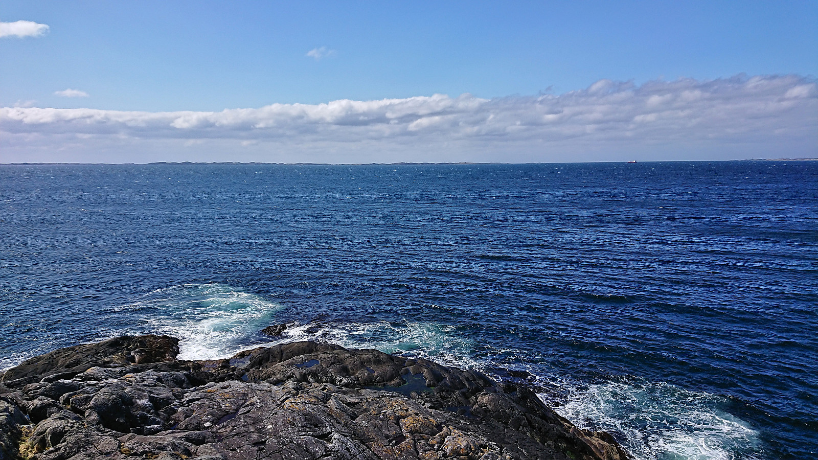
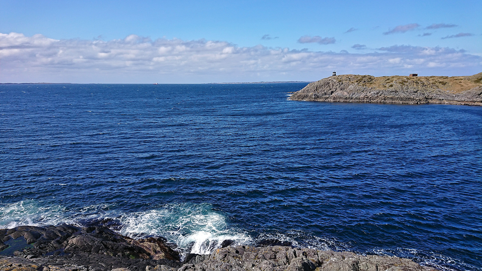
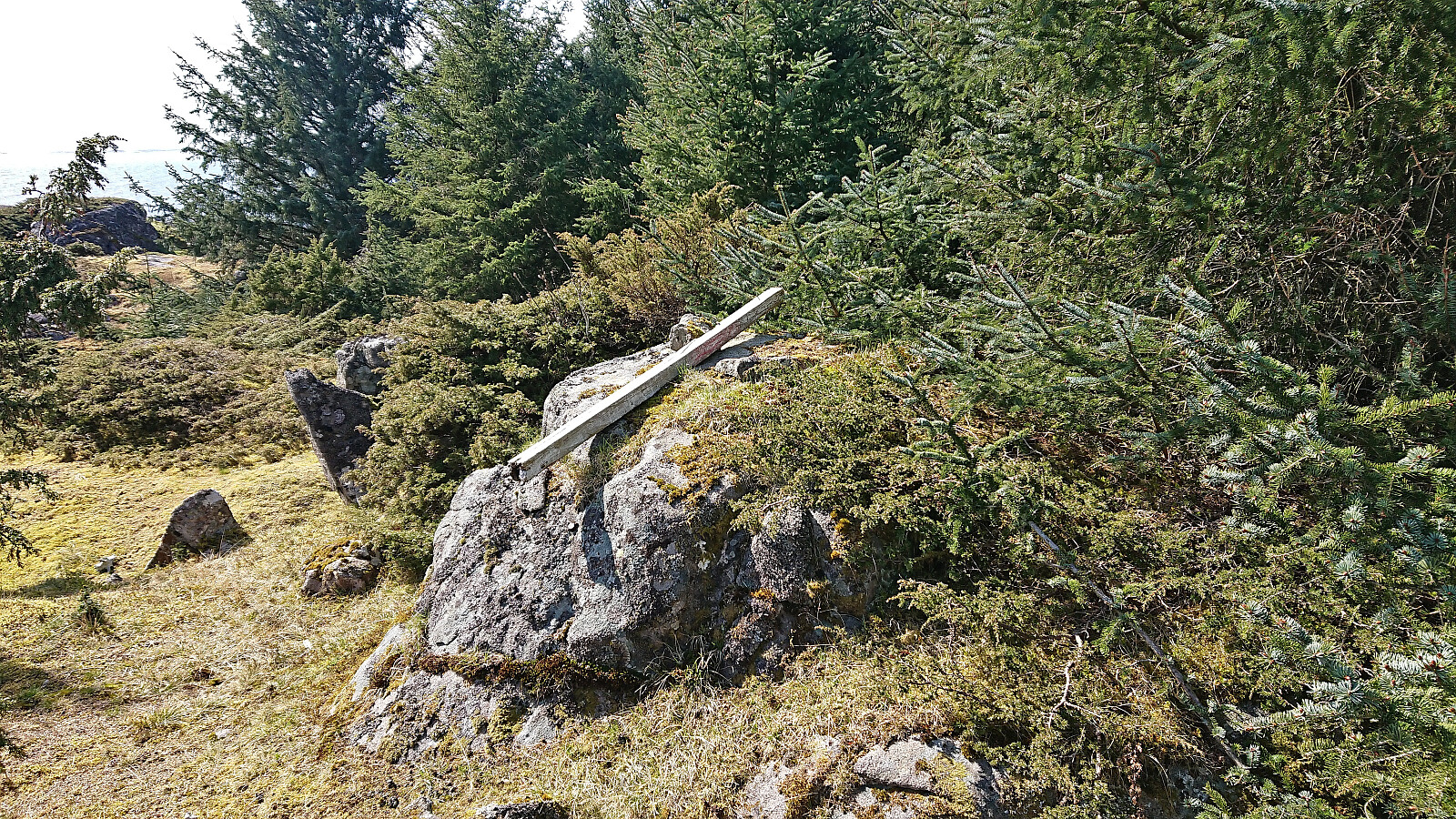
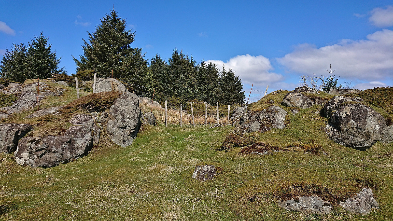
Upon completing our trip to Sjøbua, we decided to take inspiration from Kjell51 (Kjell Øijorden)'s earlier hike at Marøy. We therefore drove the short distance northeast to a parking lot intended for hikers and followed the trails west/northwest. Here there were lots of traces of buildings made by the Germans during the second world war. Again, the strong northerly wind reduced our desire to explore. I did however make a short detour on my own to the small lighthouse at the northwestern tip of the island, for some great views towards the sea and the island of Fedje. When returning to the parking lot, I also made a minor detour to visit the highest point on Marøy.
| Starttidspunkt | 01.05.2023 13:39 (UTC+01:00 ST) |
| Sluttidspunkt | 01.05.2023 14:53 (UTC+01:00 ST) |
| Totaltid | 1t 14min |
| Bevegelsestid | 1t 00min |
| Pausetid | 0t 14min |
| Snittfart totalt | 2,6km/t |
| Snittfart bevegelsestid | 3,2km/t |
| Distanse | 3,2km |
| Høydemeter | 112m |

Kommentarer