Bjørnehaugen from Gjermundshamn (26.03.2022)

| Startsted | Gjermundshamn (16moh) |
|---|---|
| Sluttsted | Gjermundshamn (18moh) |
| Turtype | Fjelltur |
| Turlengde | 5t 44min |
| Distanse | 21,4km |
| Høydemeter | 589m |
| GPS |
|
| Bestigninger | Bjørnehaugen (265moh) | 26.03.2022 |
|---|---|---|
| Andre besøkte PBE'er | Bakkhidlaren (gruve) (75moh) | 26.03.2022 |
| Dronninga (gullgruve) (50moh) | 26.03.2022 | |
| Hedlebergshidlaren (gruve) (124moh) | 26.03.2022 | |
| Smidjehidlaren (gruve) (31moh) | 26.03.2022 |
Bjørnehaugen from Gjermundshamn

A return to Gjermundshamn for a visit of Bjørnehaugen. Note that on the map the area is referred to as Bjørnehaugen, i.e. one extra 's', while the summit is named Bjørnahaugen, but for simplicity I will stick with name used on PB.
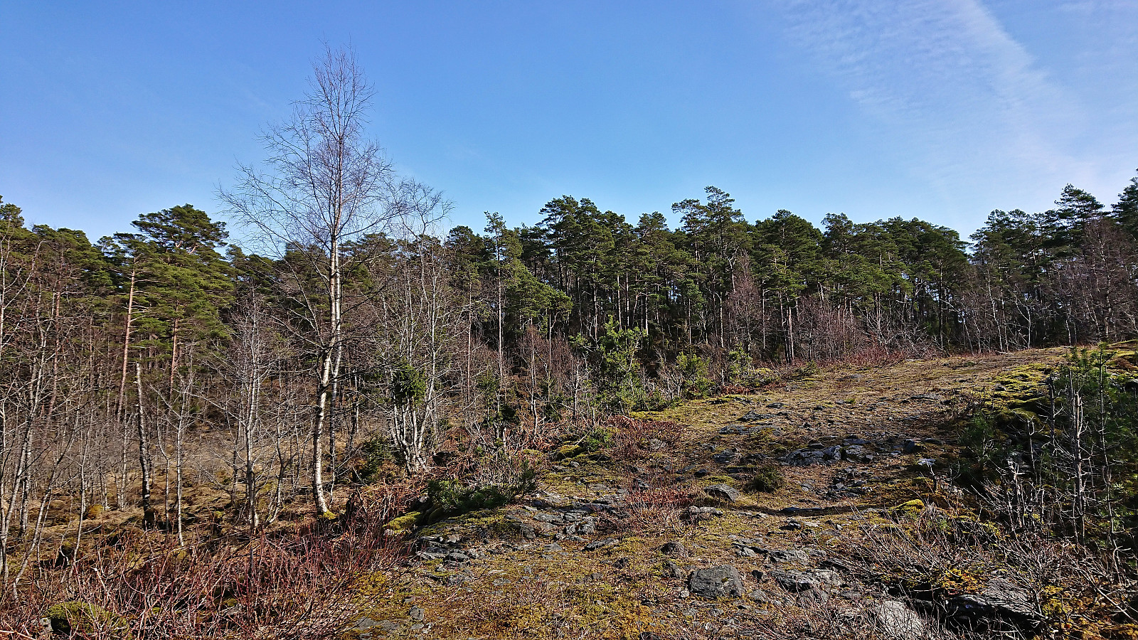
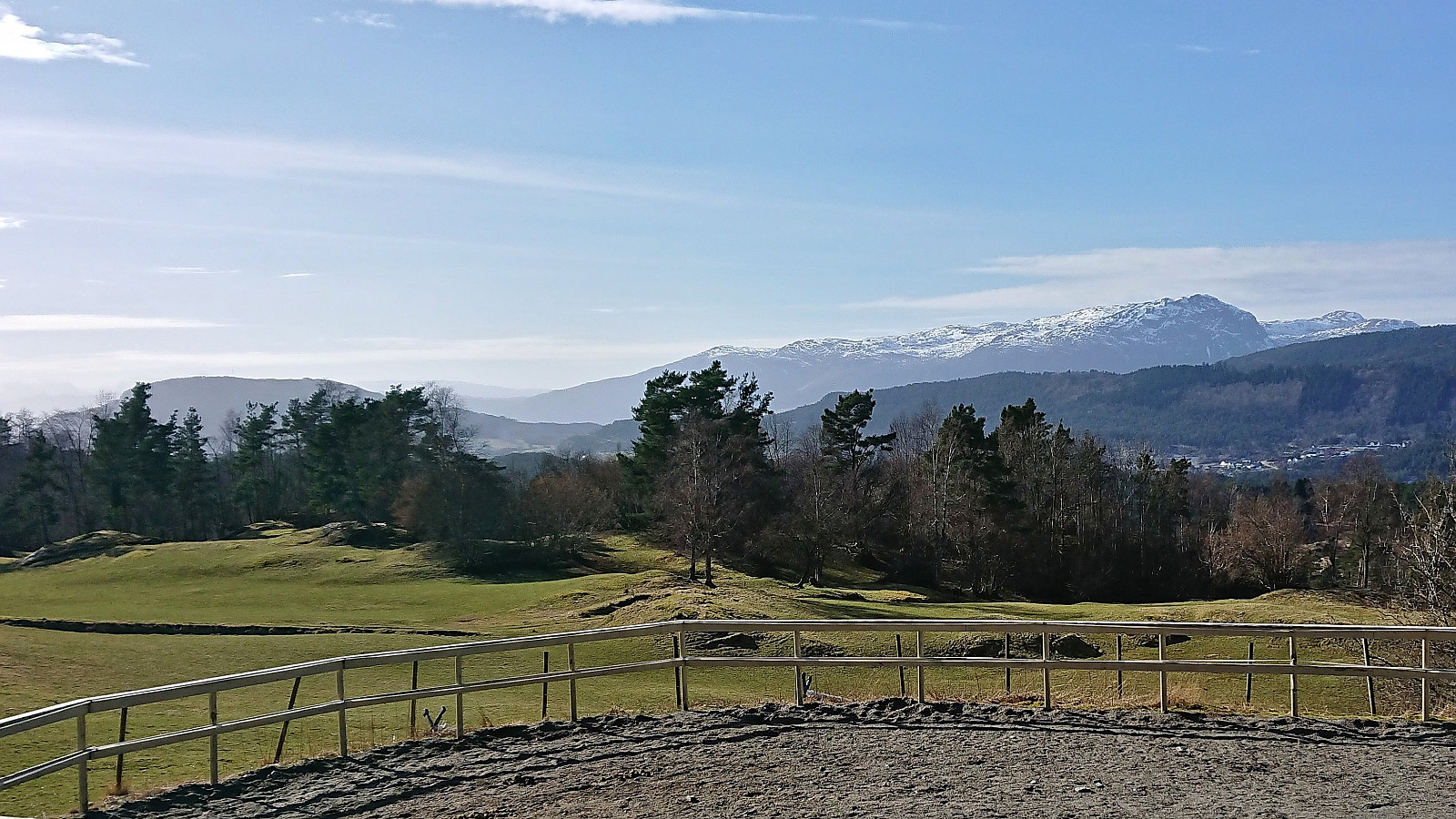
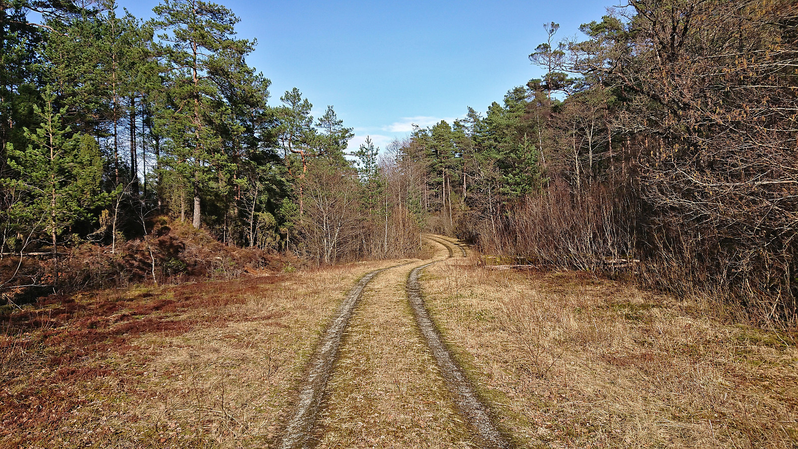
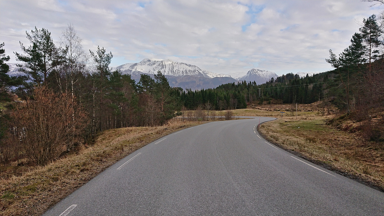
As usual when visiting a remote minor summit with limited views, I made it into a longer trip to make it slightly more interesting. In this particular case this was only partly voluntary, as the only way for me to get anywhere close to Bjørnehaugen (without needing a car) was to first take the bus to Gjermundshamn and then start my hike from there. And while this initial walk along the road may seem boring, the limited traffic and the excellent views towards the snow-capped mountains across the fjord made for a rather enjoyable start to the trip.
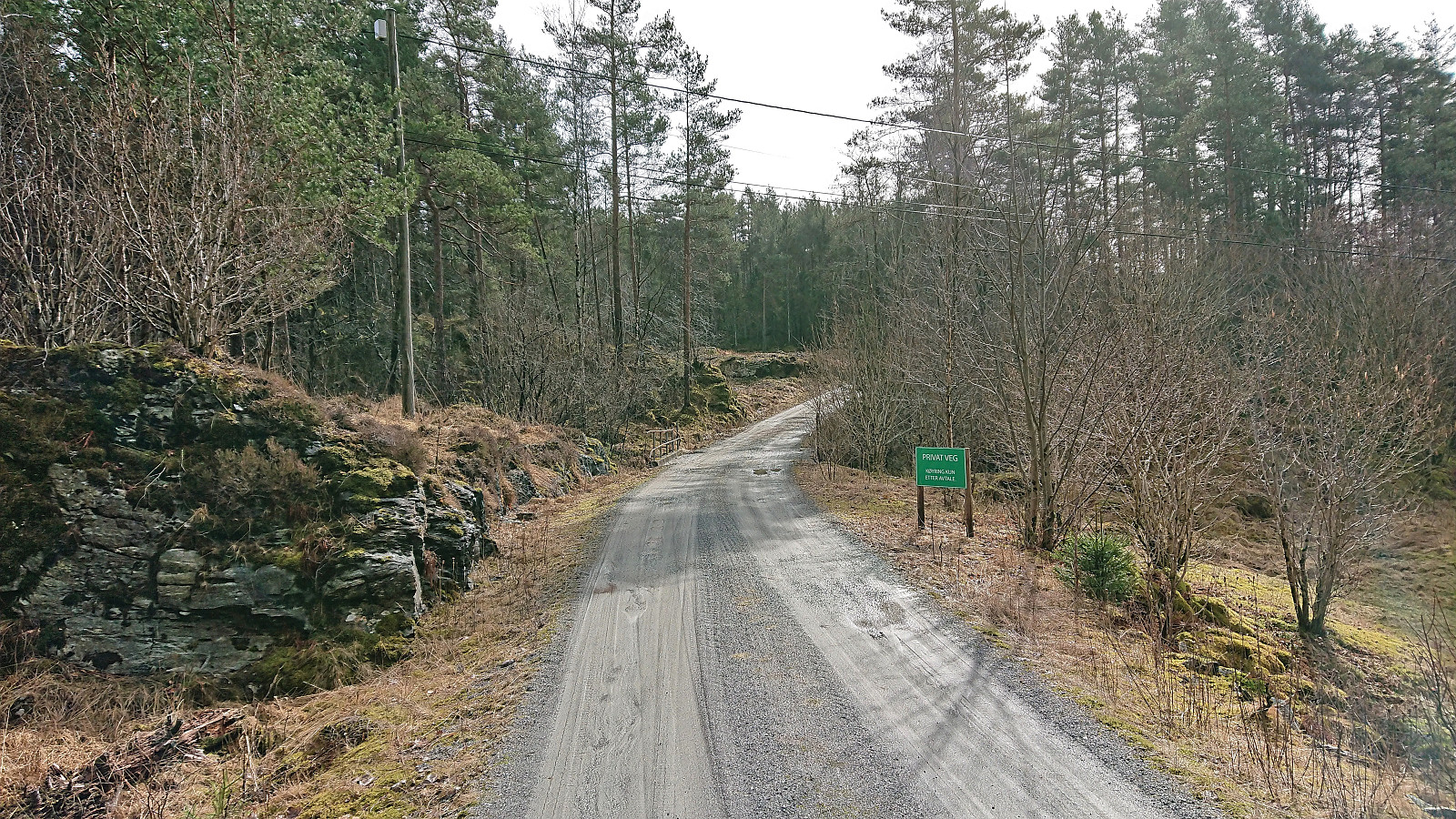
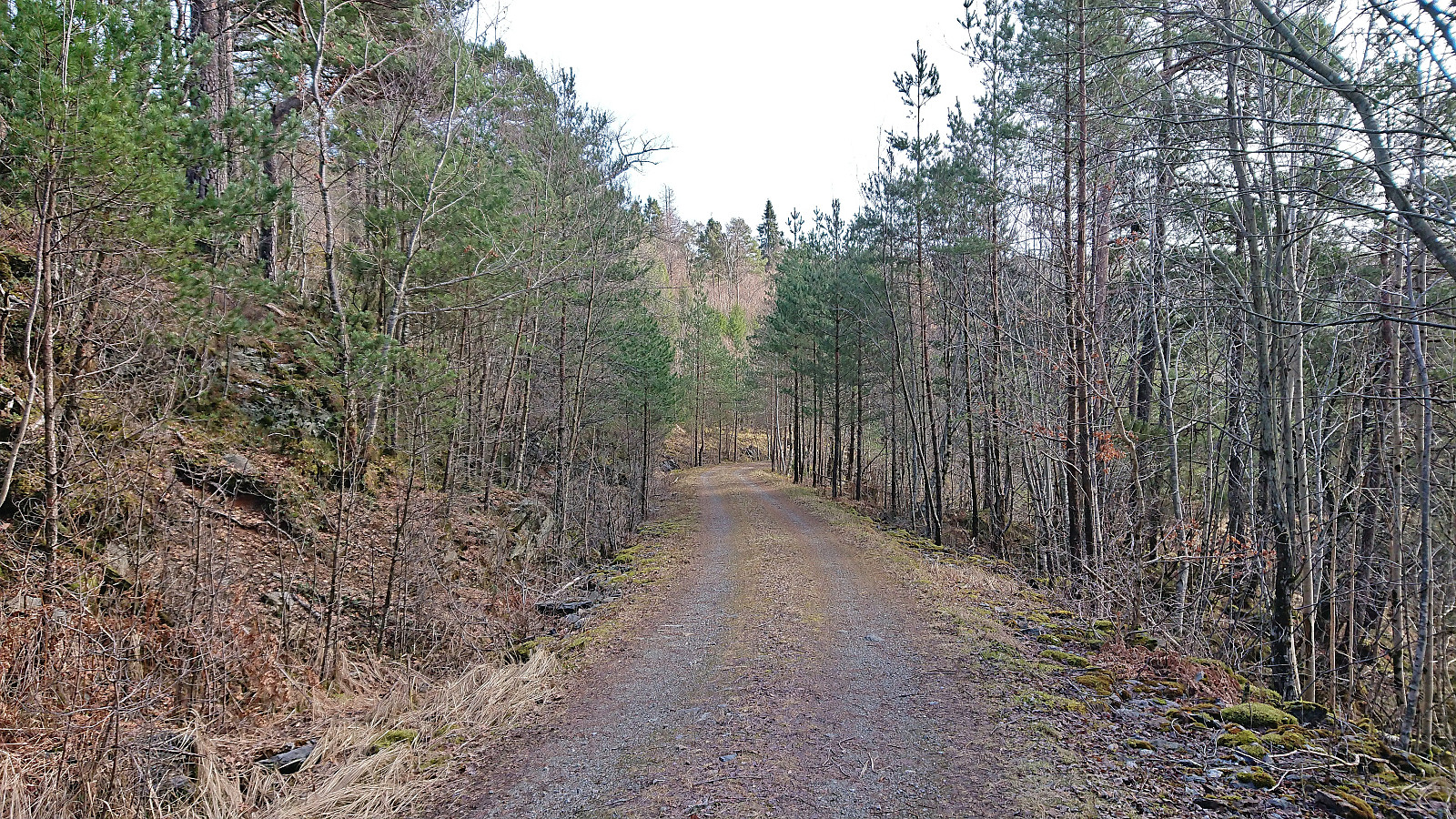
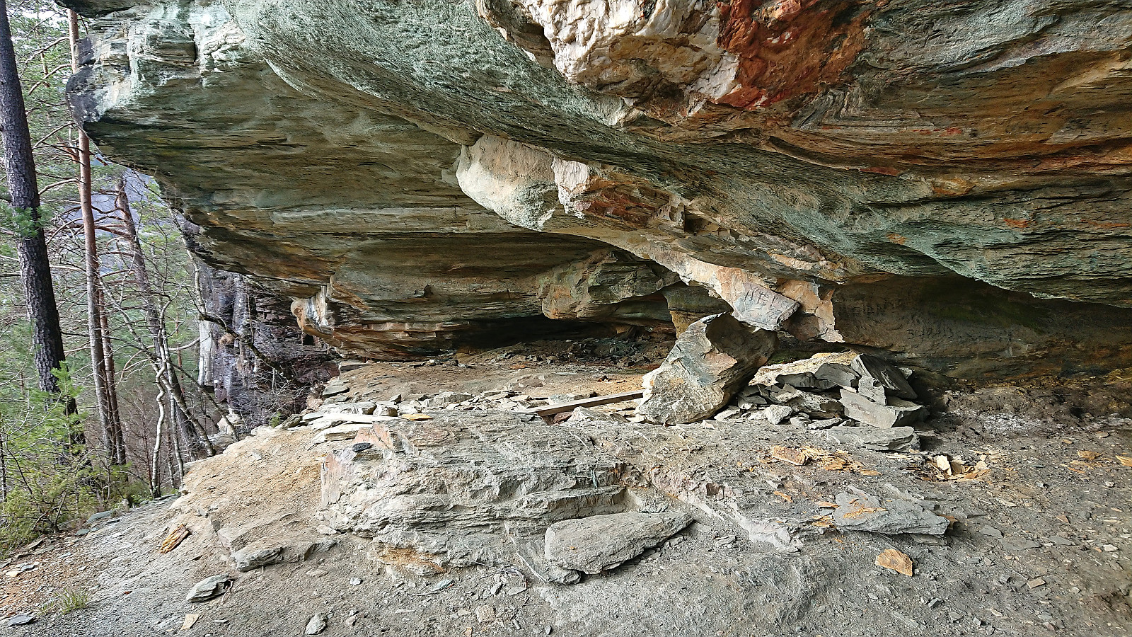
Shortly after passing Tveitane, I left the main road and instead followed a private gravel road to Atrmadalen. As I continued south along the gravel road beyond the last houses, I started seeing lots of traces of the old mining activity in the area. But except for the mines right next to the road, I decided to leave the exploring of these for later.
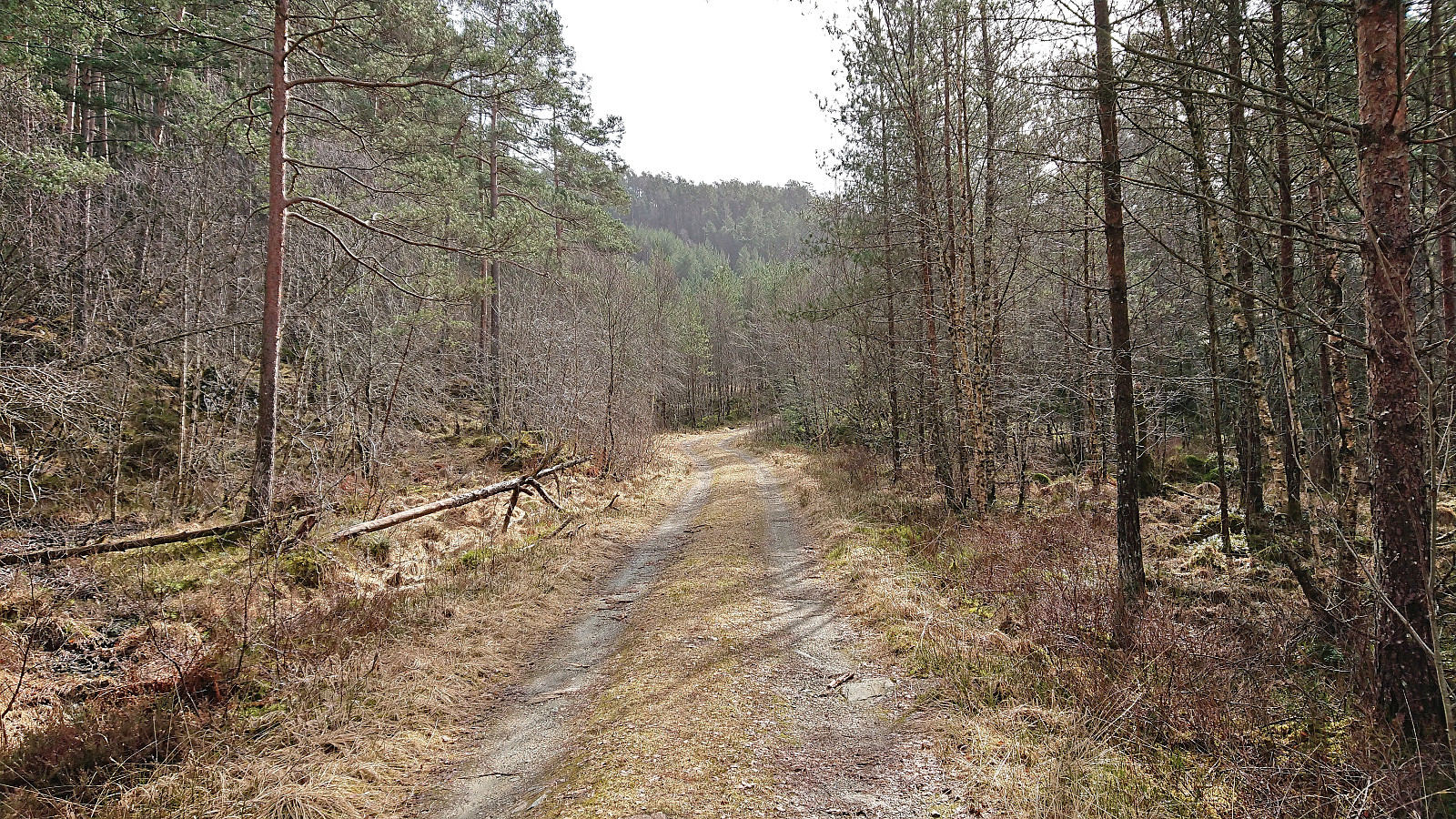
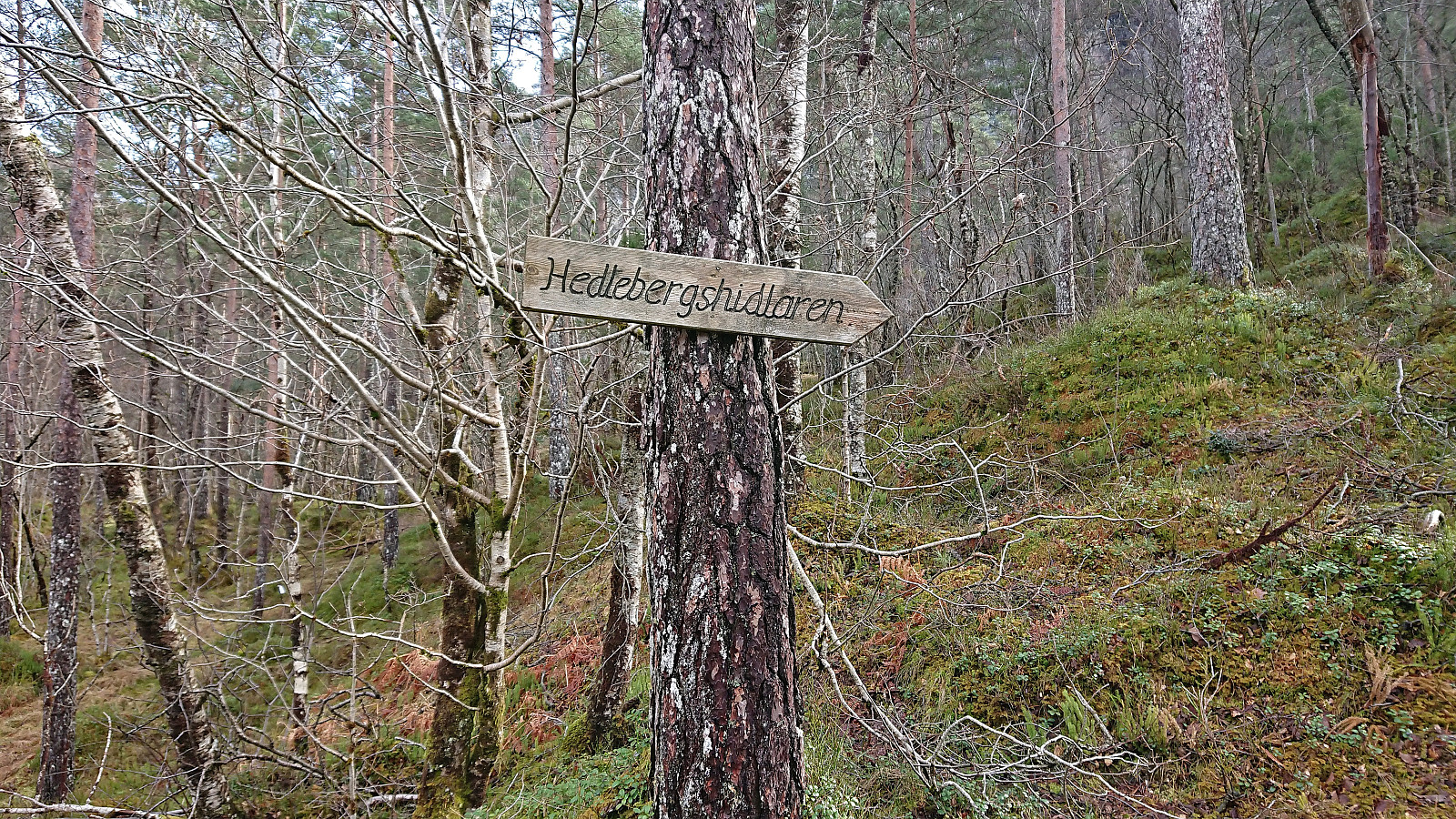
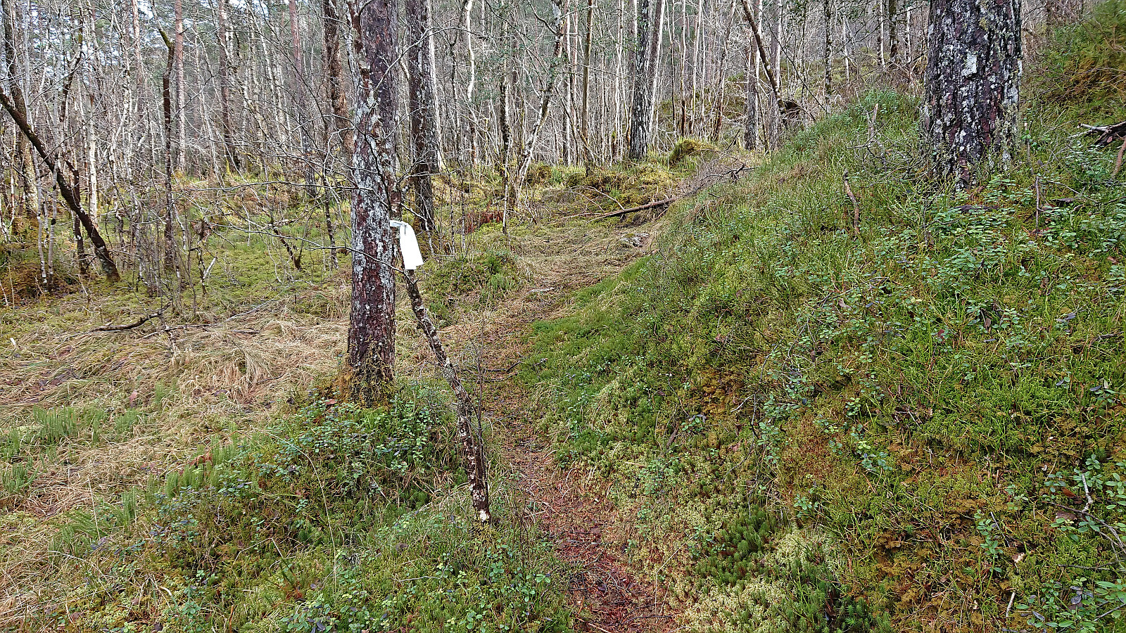
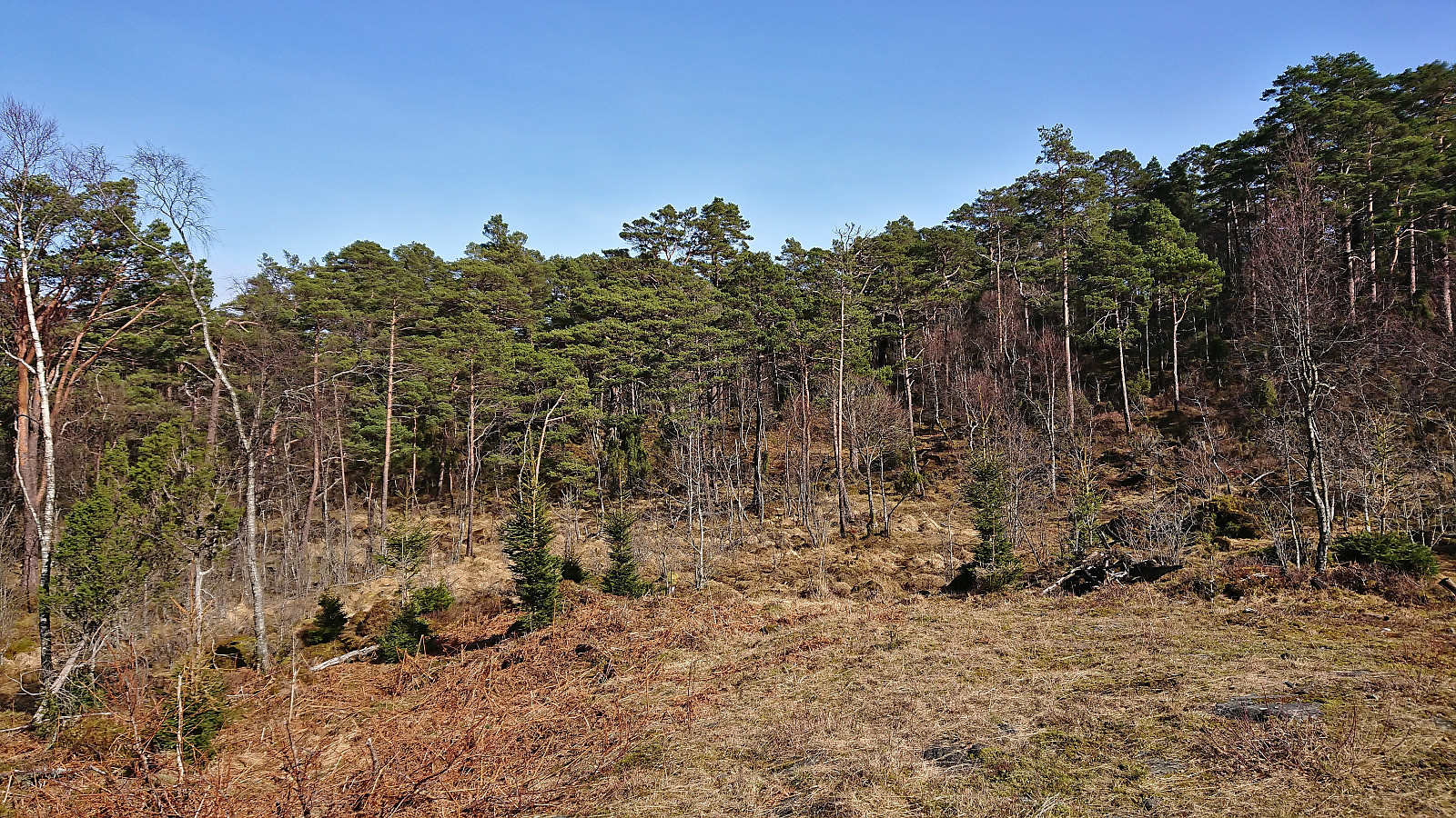
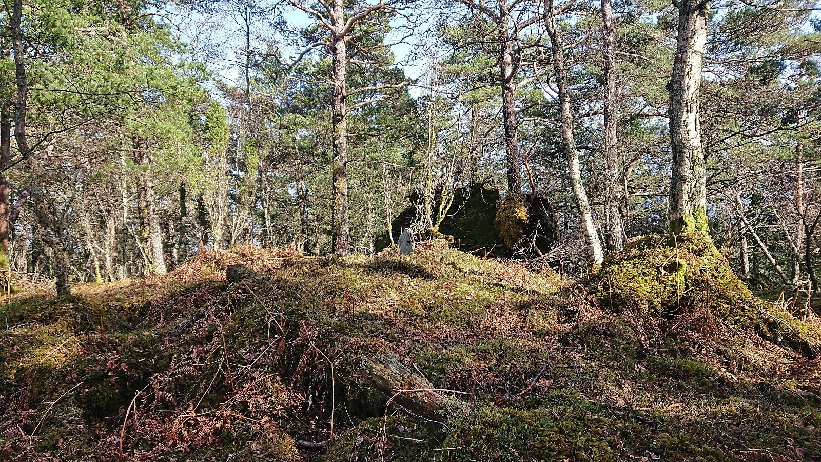
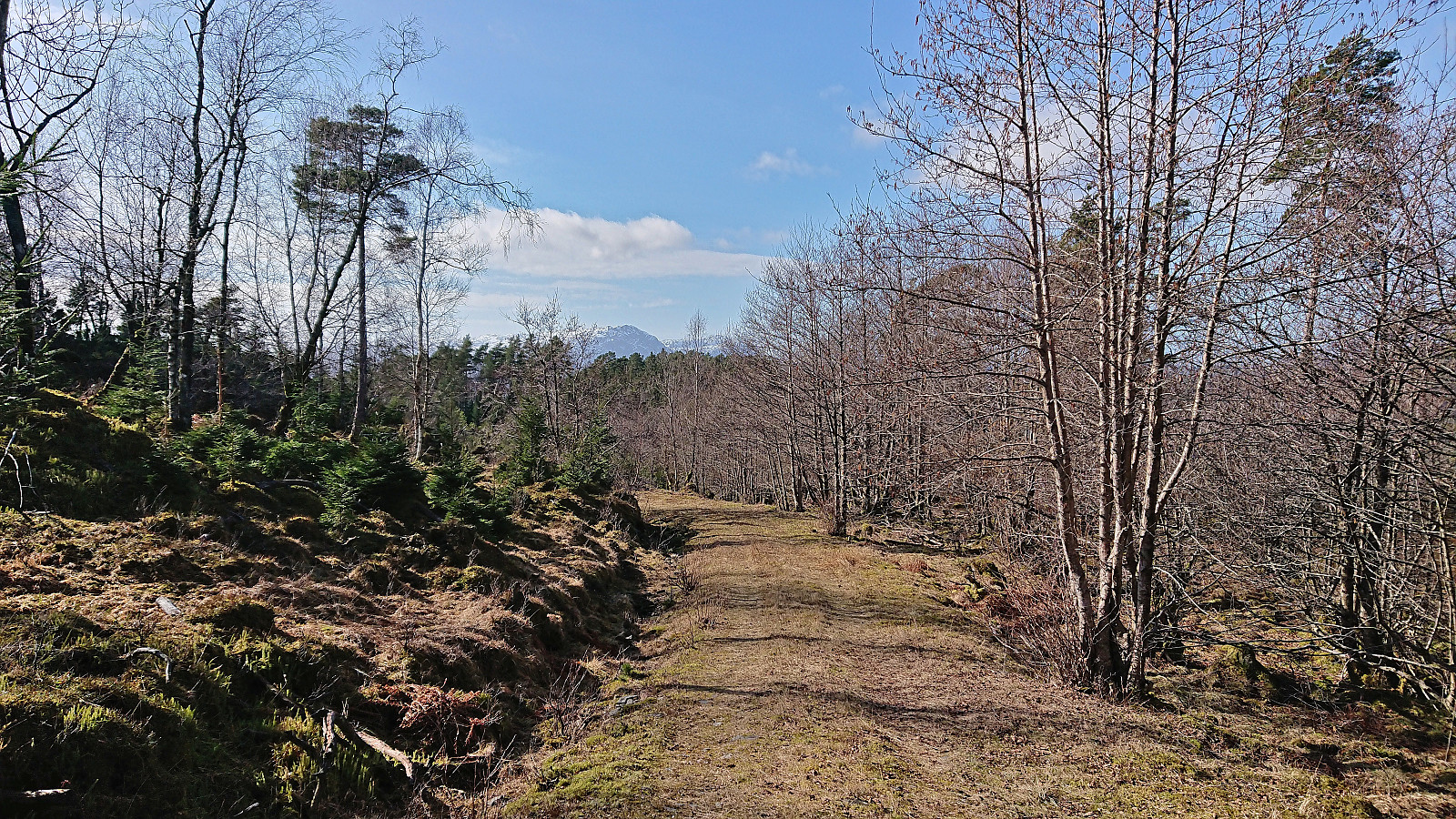
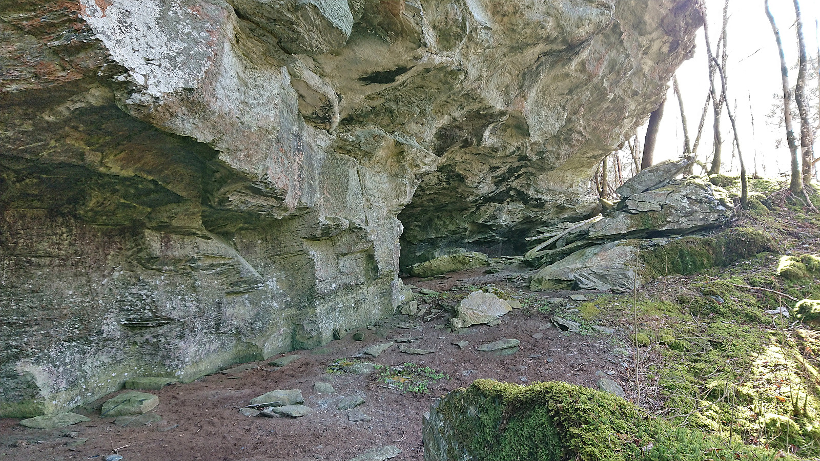
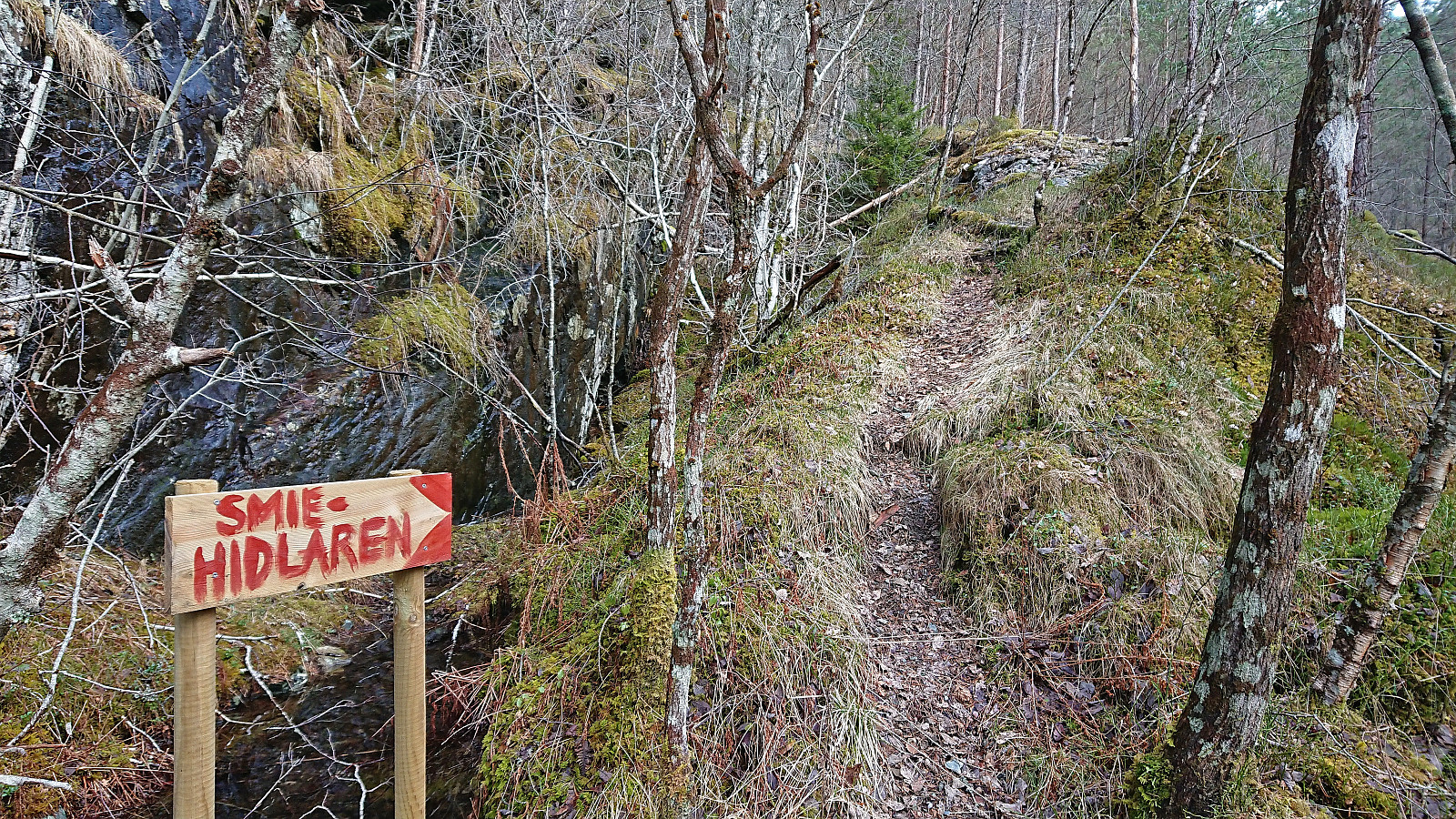
Given that the map indicated potential shortcuts from the gravel road I was on up towards the other gravel road northwest of the summit, I kept a lookout of any trails heading in the wanted direction, however none of the trails shown on the map could be found. But just as I was about to give up and simply follow the gravel road to Bakken, I came across a marked trail for Hedlebergshidlaren. Assuming that it would also take me all the way to the upper gravel road, I started ascending, following white plastic ribbons.
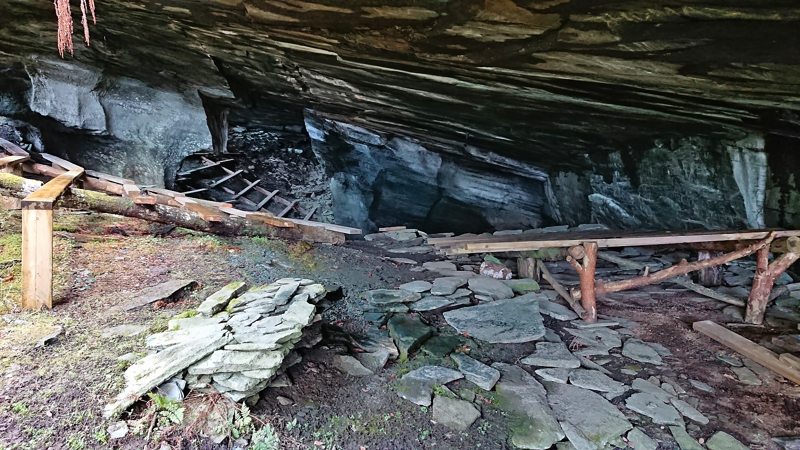
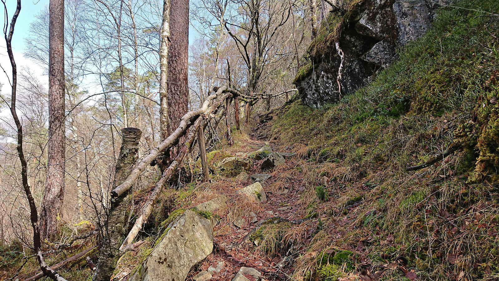
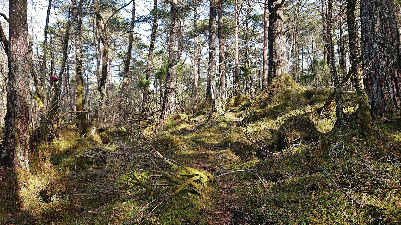
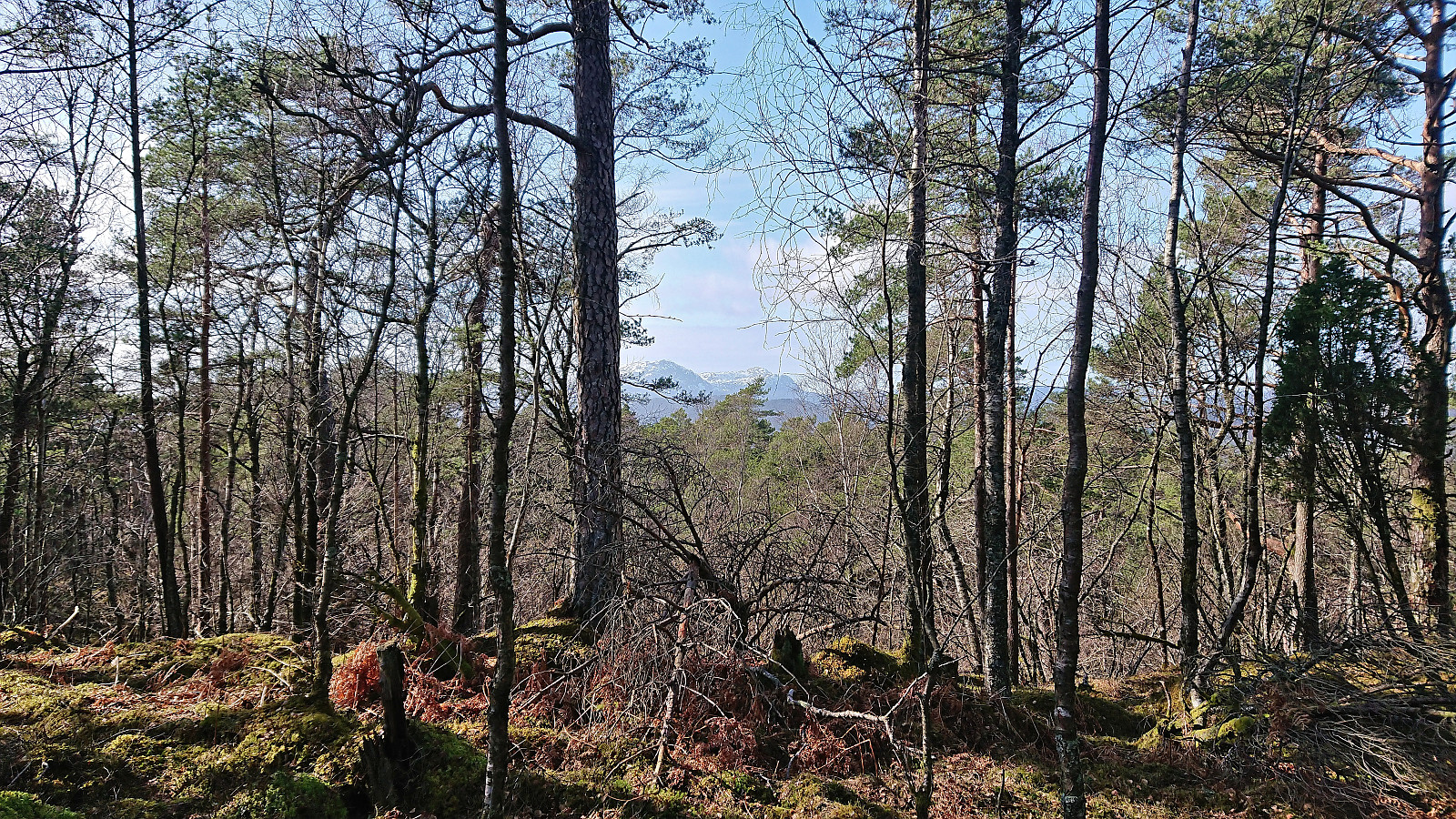
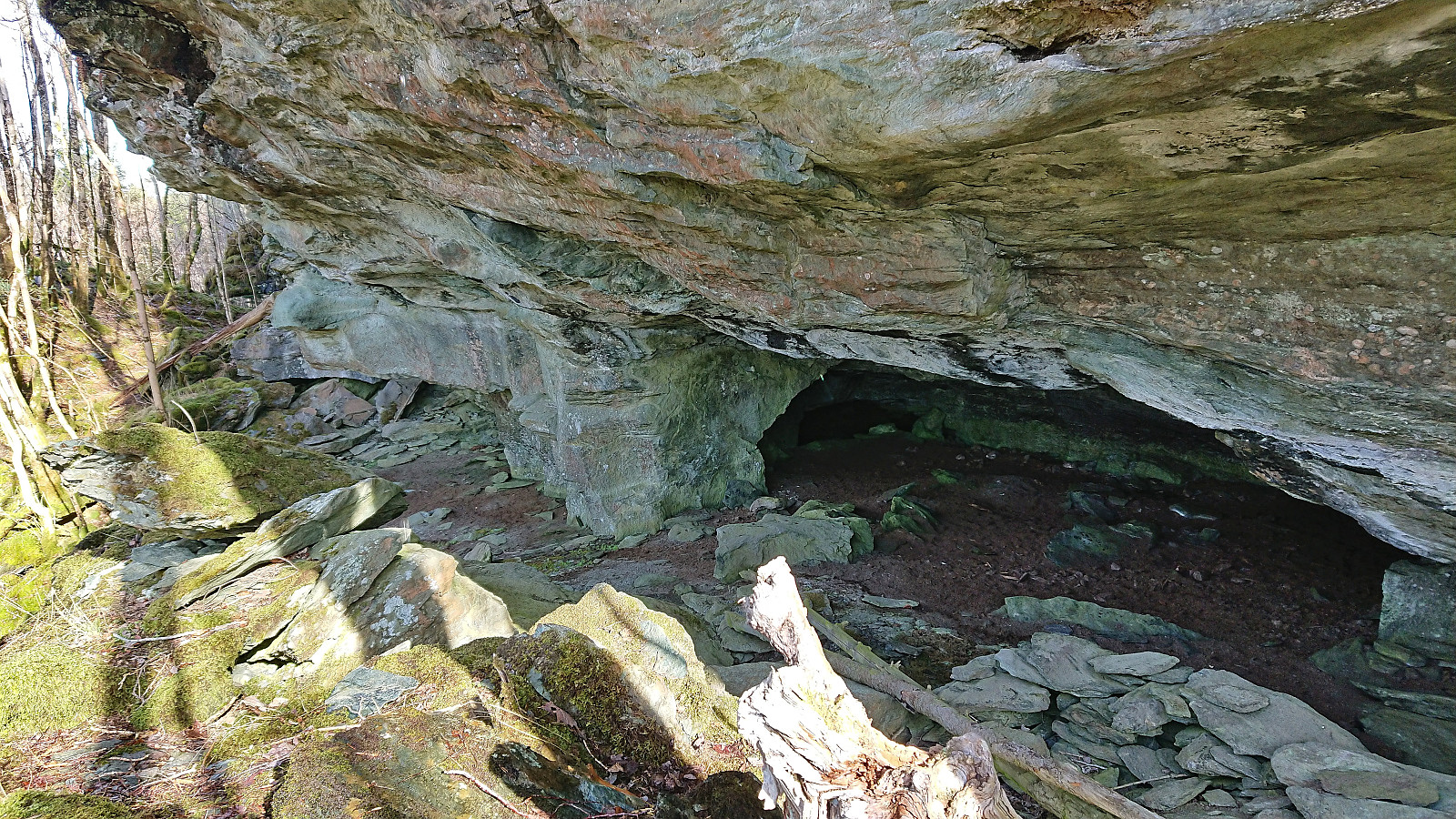
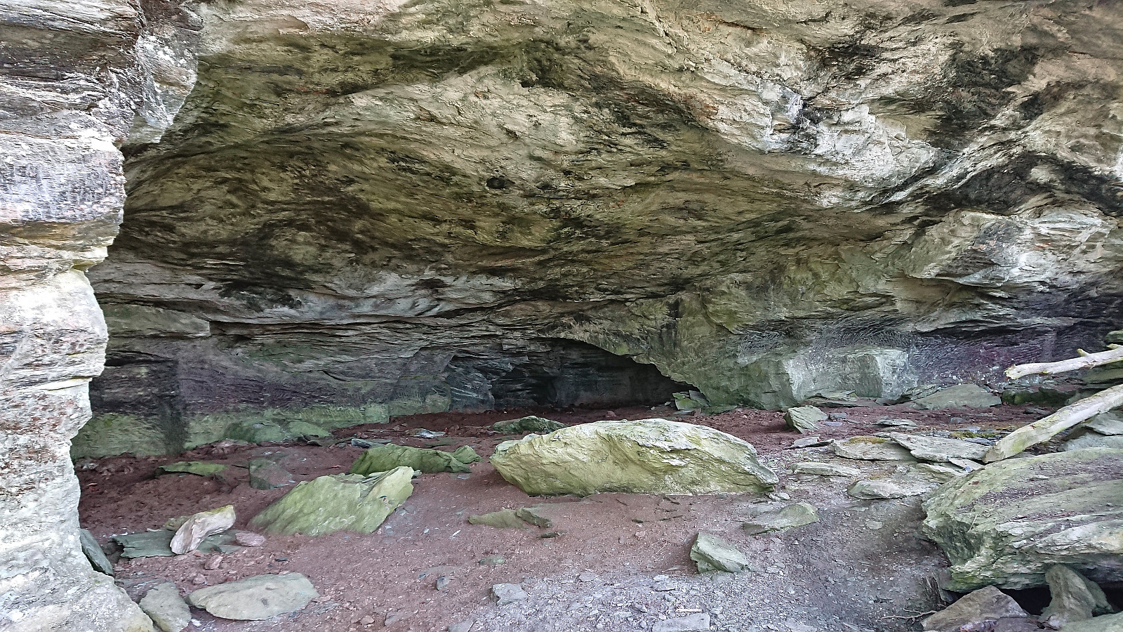
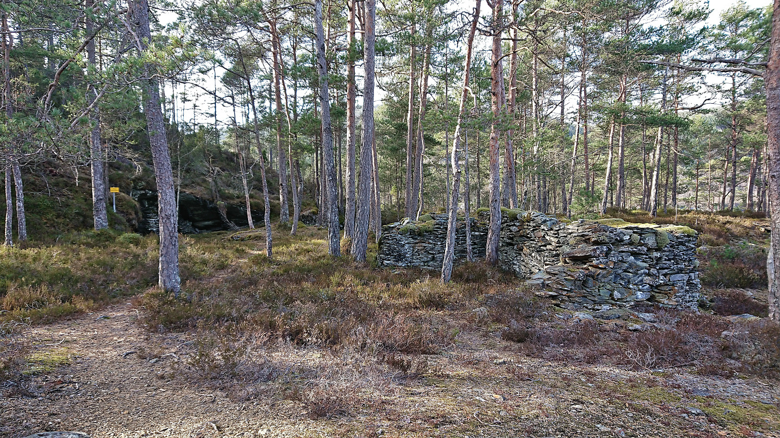
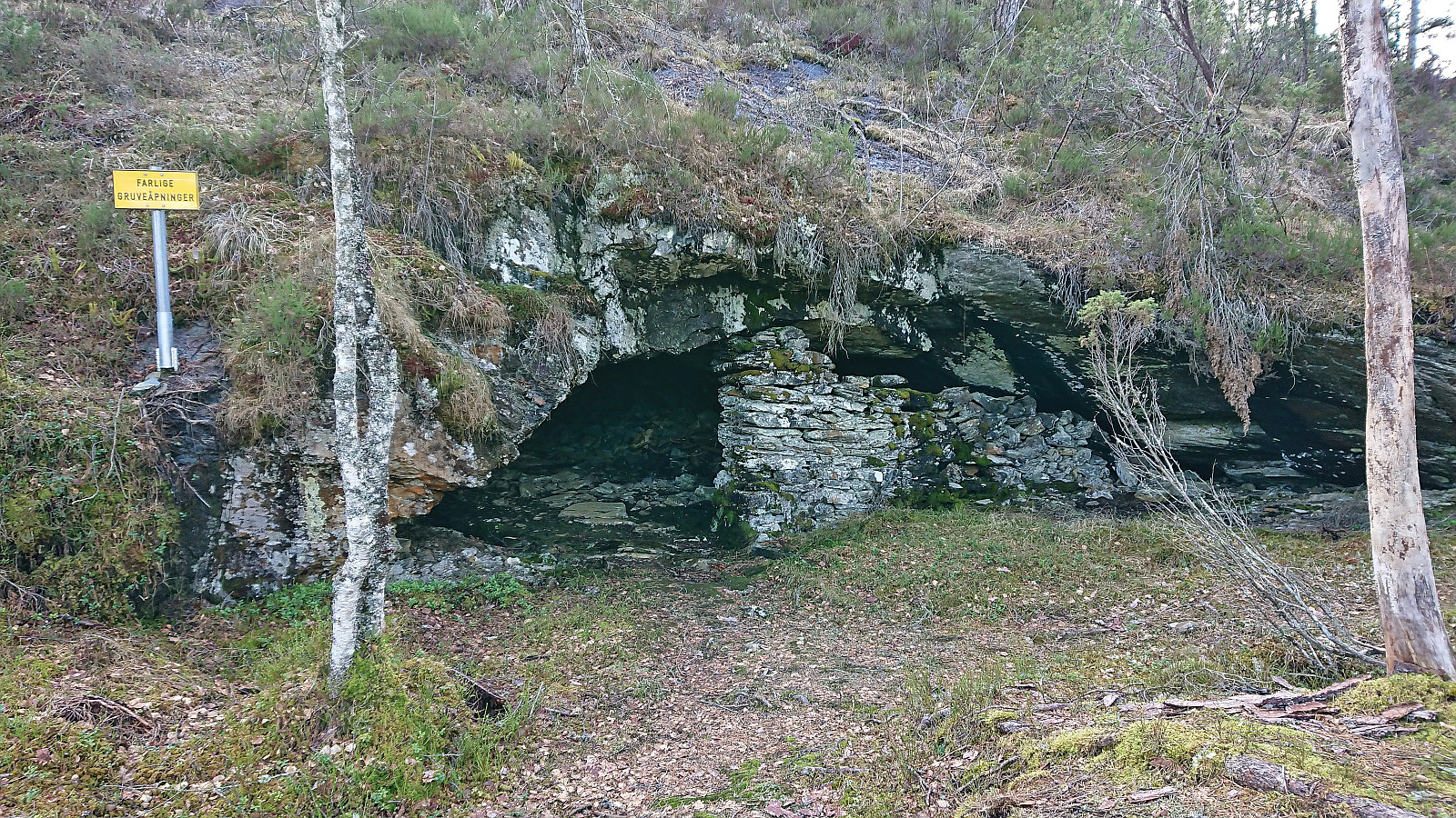
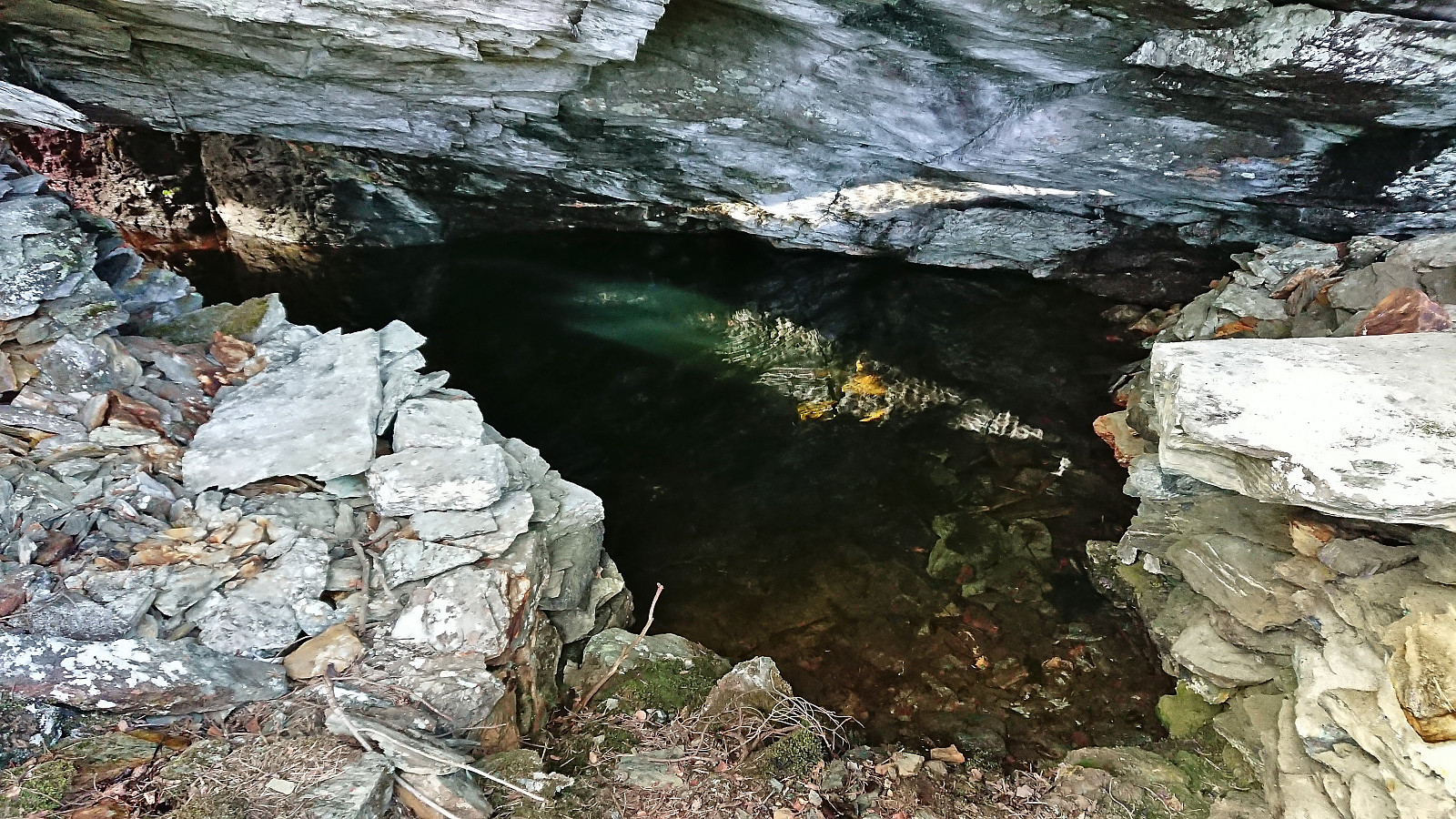
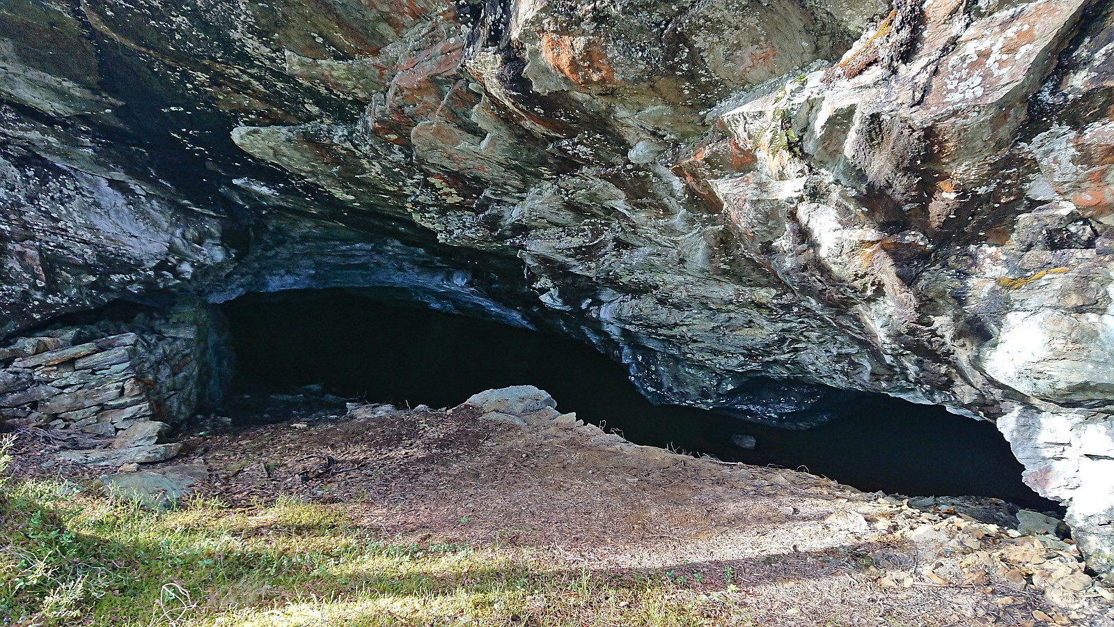
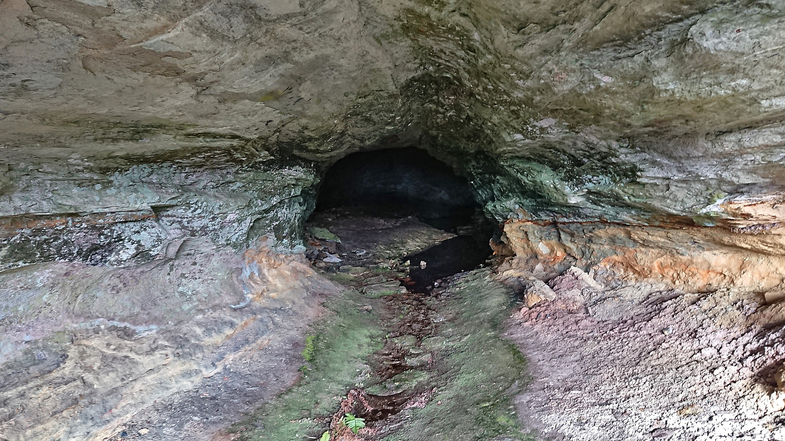
Shortly, I arrived at Hedlebergshidlaren, or Hellebergshillaren as it is also called, an old mine that is today sometimes used as a concert venue. No concerts today, but still an interesting location worth a visit. From Hedlebergshidlaren, I continued along the trail up to the gravel road northwest of the summit of Bjørnehaugen, which I then proceeded to follow until it came to an end less than 300 meters southwest of the summit. Here I spooked a couple of deer as I made my own way along the ridge to the summit, partly following in their tracks and arriving at the summit without any issues. Limited views due to all the trees, however both Hovlandsnuten and Tysnessåta could clearly be spotted in the distance.
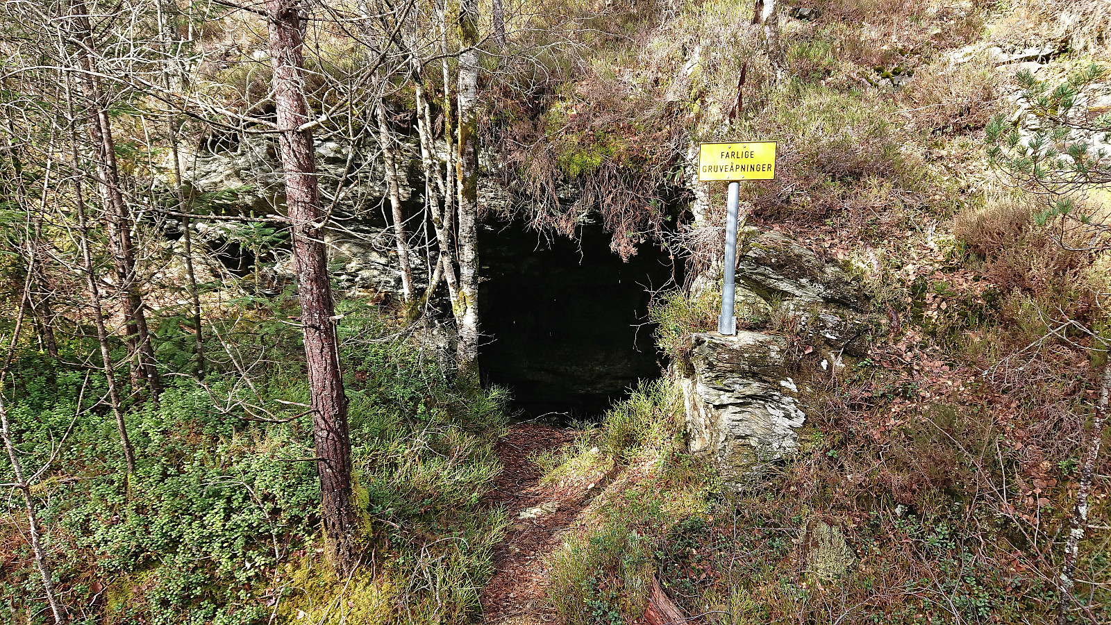
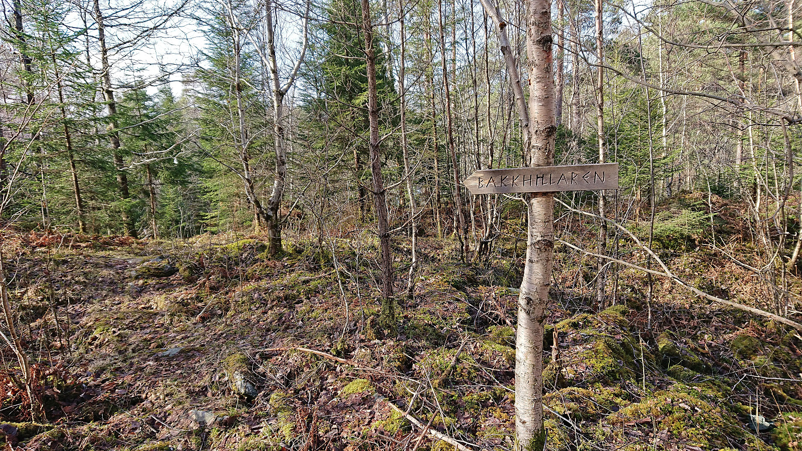
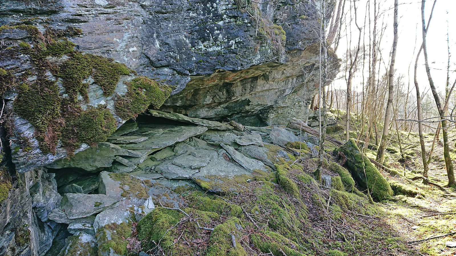
I returned to the gravel road along the same route and after a short lunch break continued southwest to Bakken where I turned northeast along in order to return to Atrmadalen, still along a gravel road. Shortly I came across a sign for Bakkhillaren, which turned out to be yet another old mine, only requiring a very short detour from the gravel road along a marked trail.
After returning to the gravel road, I continued northeast, before exploring the other mining areas I had passed by at the start of the hike. One of these was a gold mine called Dronninga, and a mine called Smidjehidlaren. Both easily accessible by short marked detours from the gravel road. There were also lots of additional unnamed mines in the area. I recommend taking a look at kulturminnesok.no for more details.
All that was left was then the walk back to Gjermundshamn for the bus back to Bergen, thus concluding a very enjoyable hike with lots of interesting things to see along the way. So while many hikers will perhaps not see much point in visiting the summit of Bjørnehaugen itself, a visit to the area is still very much worth considering on its own given its fascinating mining history.
| Starttidspunkt | 26.03.2022 12:14 (UTC+01:00 ST) |
| Sluttidspunkt | 26.03.2022 17:58 (UTC+01:00 ST) |
| Totaltid | 5t 44min |
| Bevegelsestid | 4t 55min |
| Pausetid | 0t 48min |
| Snittfart totalt | 3,7km/t |
| Snittfart bevegelsestid | 4,3km/t |
| Distanse | 21,4km |
| Høydemeter | 589m |

Kommentarer