Bjørnshiklanten from Stordalsstølen (28.11.2021)

| Startsted | Stordalsstølen (518moh) |
|---|---|
| Sluttsted | Stordalsstølen (518moh) |
| Turtype | Fjelltur |
| Turlengde | 3t 53min |
| Distanse | 9,3km |
| Høydemeter | 572m |
| GPS |
|
| Bestigninger | Bjørnshiklanten (817moh) | 28.11.2021 09:30 |
|---|
Bjørnshiklanten from Stordalsstølen
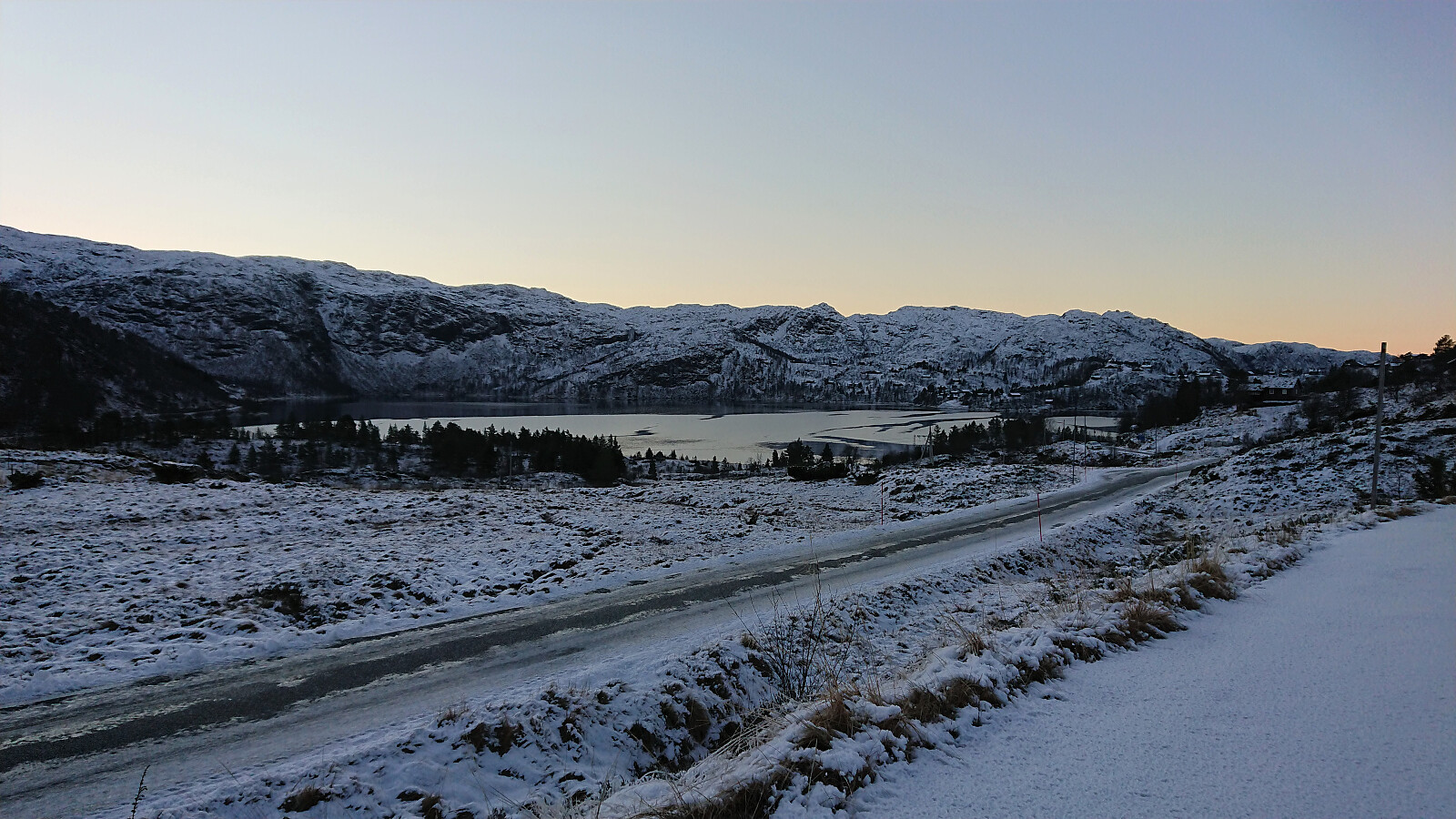
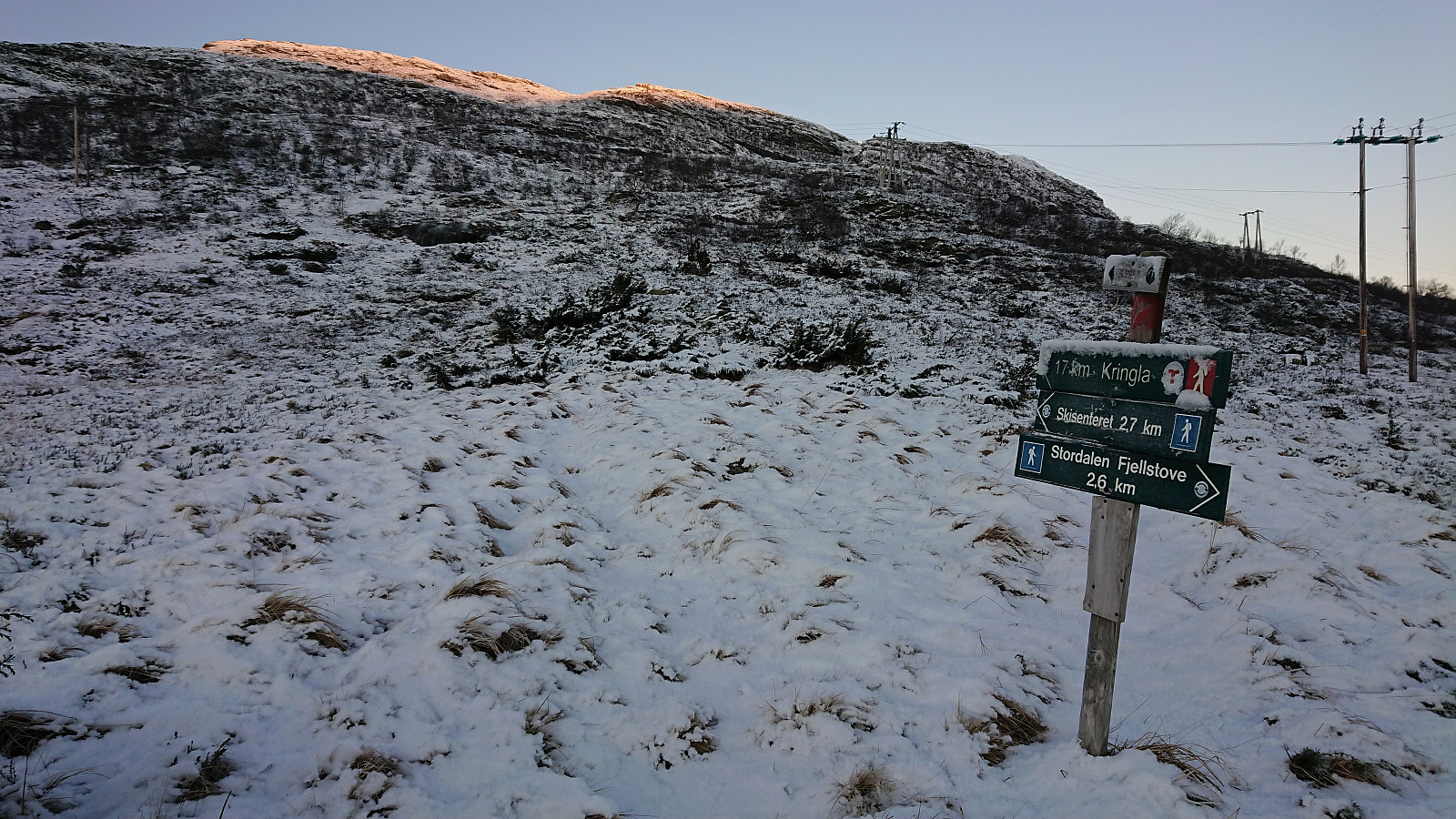
Another return to Masfjorden, and once again together with petter (Petter Bjørstad). We drove early from Bergen and arrived at a relatively cold Stordalsstølen just as the first rays of sunlight hit the higher peaks to the east. At the last minute we had decided to bring our skis, but it quickly became clear that there was far from enough snow for skiing, and we instead set out on foot following the marked trail towards Kringla. (Note that the parking lot we used is most likely meant for the cabins in the area, but as there were no signs indicating that it was private, and there was only one other car present, we assumed that we would not be hindering anybody by parking there for a couple of hours.)
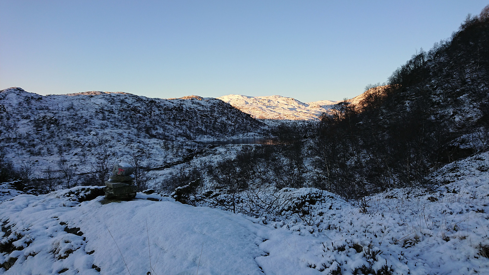
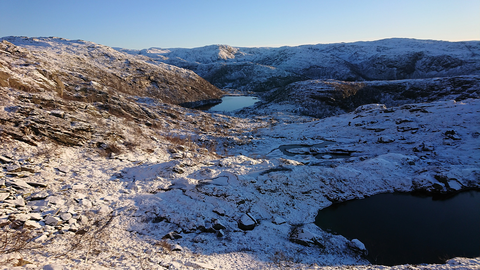
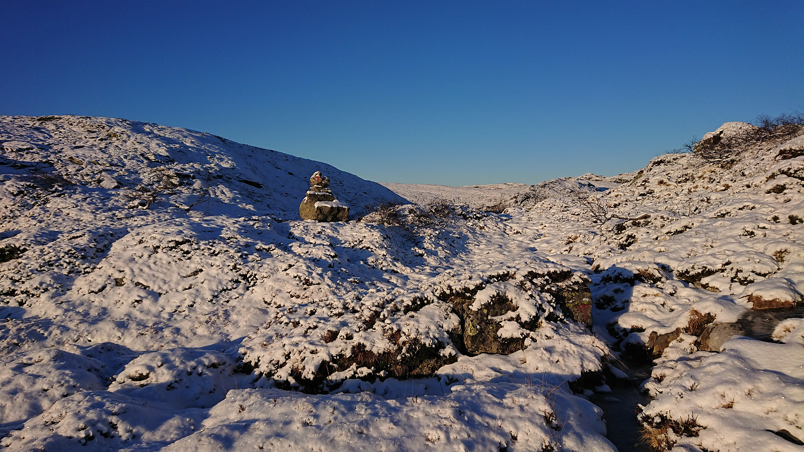
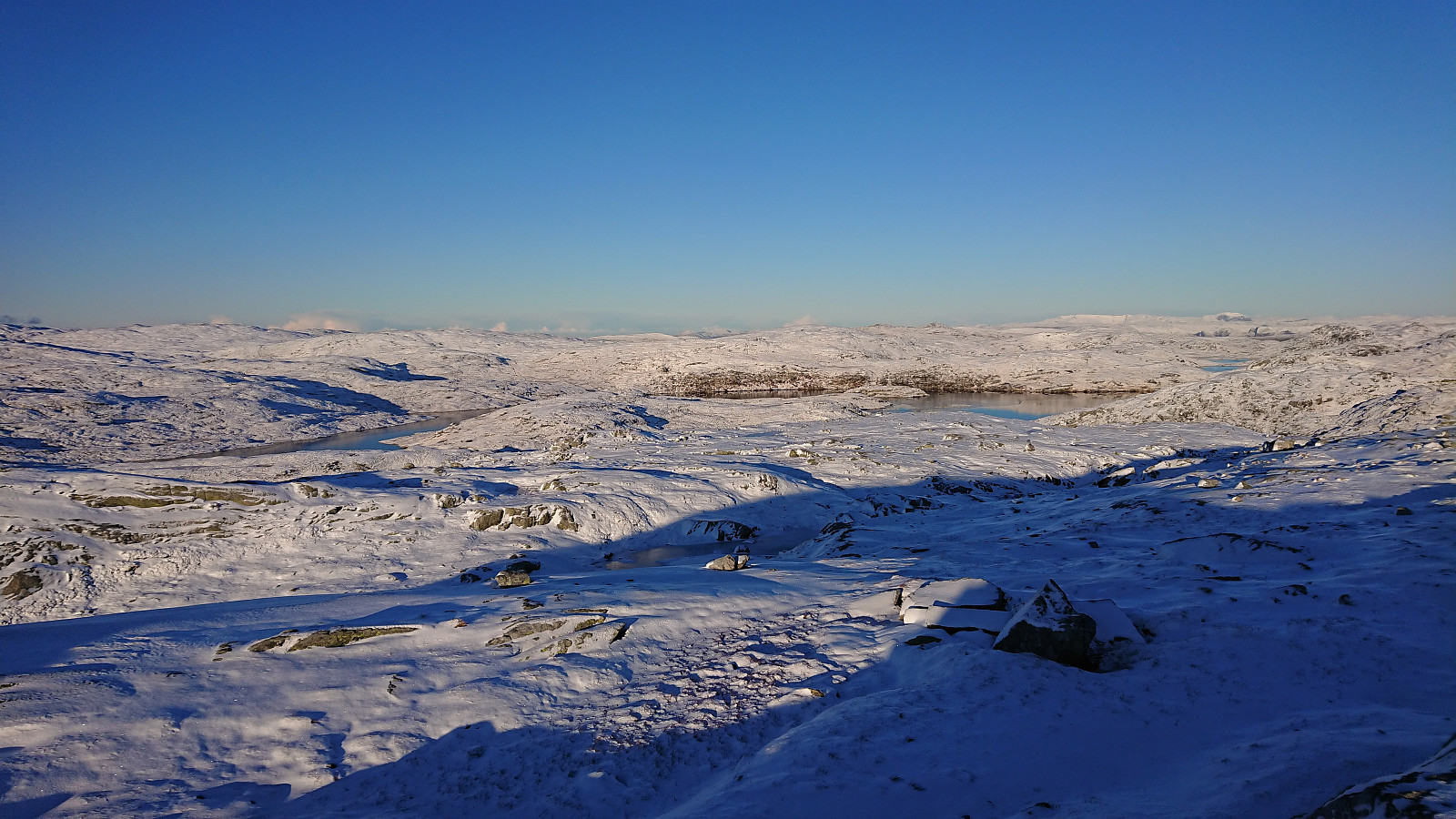
While the trail was marked with red T's and overall easy to follow (at least at the start), significant parts of it was also covered by ice, sometimes partially hidden underneath the snow. But with a bit of care, most of the ice could be easily avoided. Upon reaching Hellersbotnvatnet, the trail became less clear, but there were still the occasional red T that could be use as guidance.
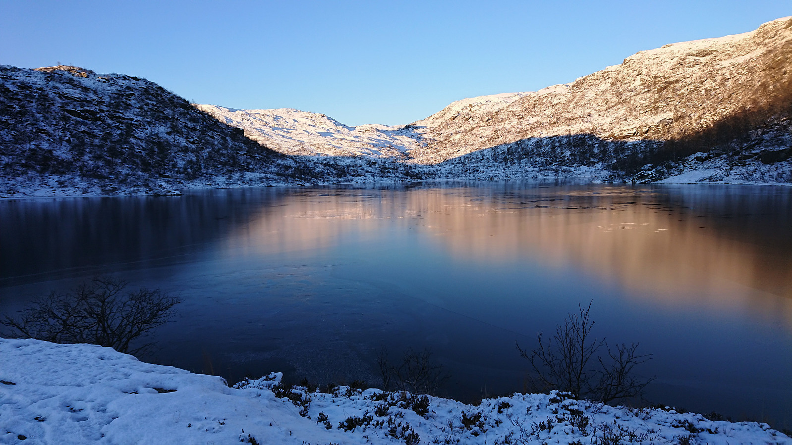
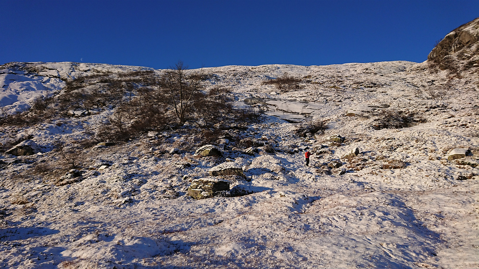
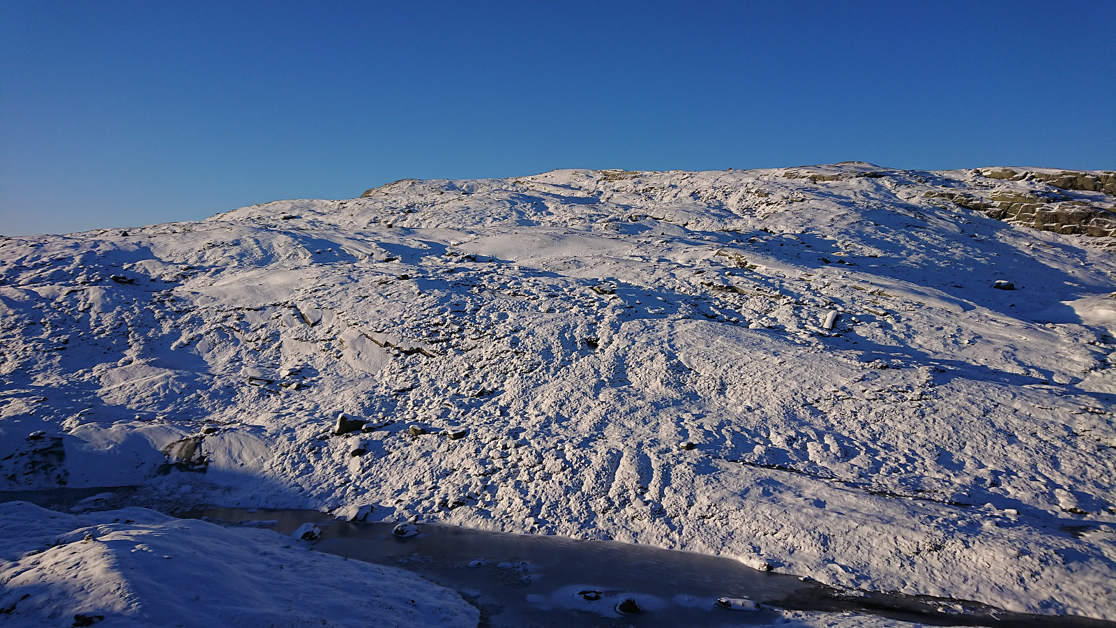
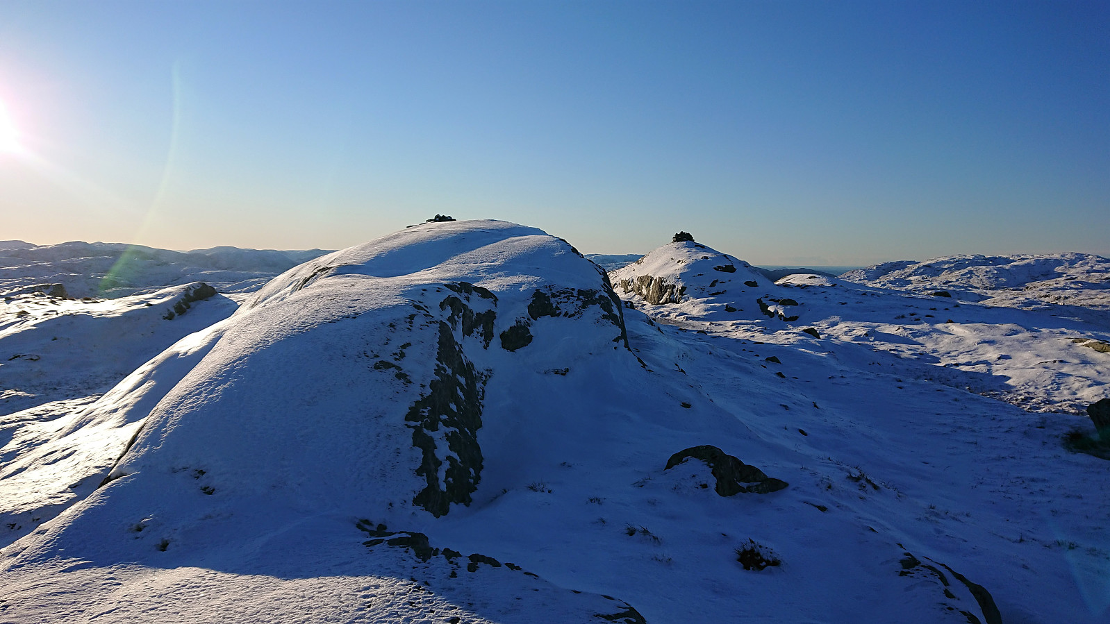
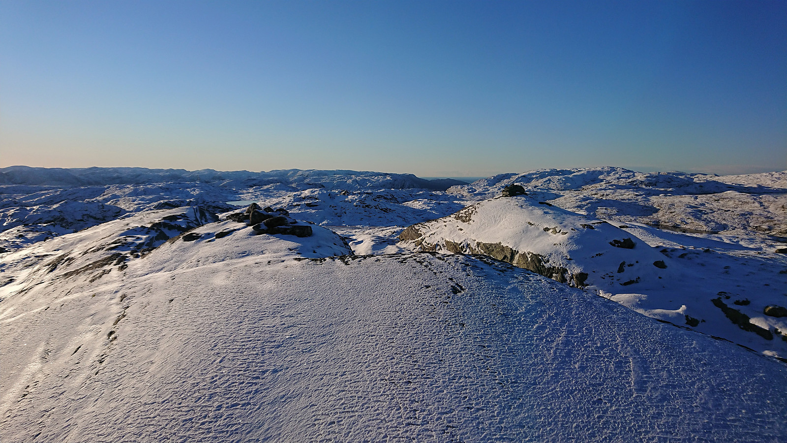
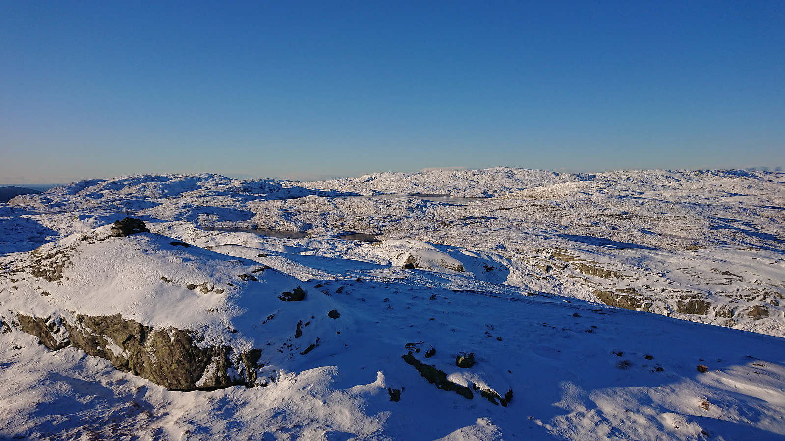
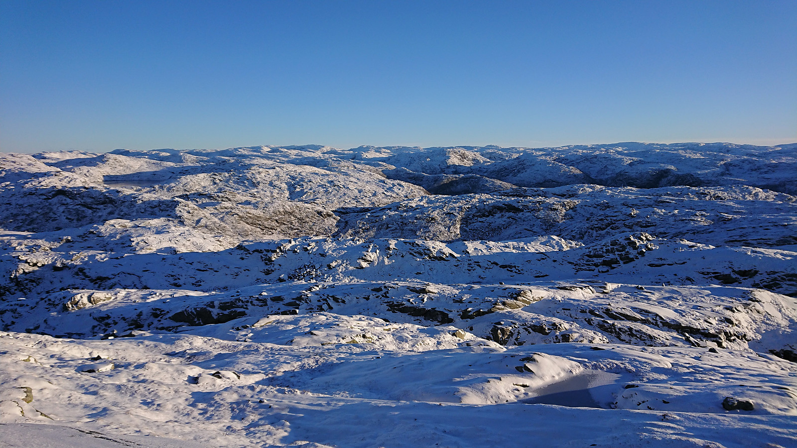
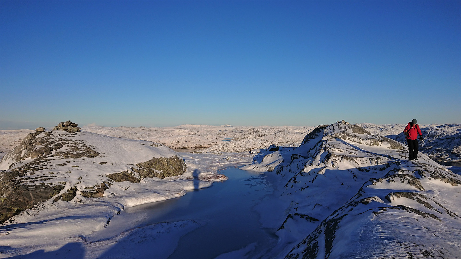
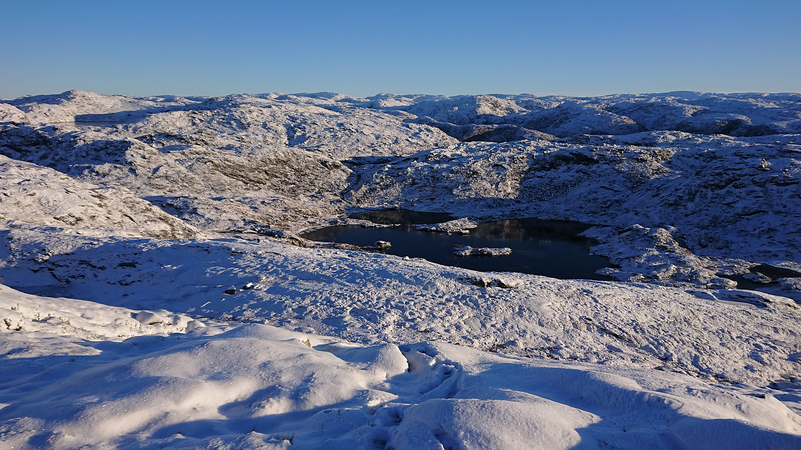
After having descended to Mosedalsvatna, we continued on the marked trail until reaching the western end of the lake. Here we left the trail and headed off-trail in the direction of the summit of Bjørnshiklanten, which was reached without any real challenges. The summit provided excellent views and consisted of two small hills where the eastern one is slightly higher. From the summit, we returned along pretty much the same route, only making a couple of minor shortcuts when possible.
In conclusion, an excellent hike that can be very highly recommended, and it is probably much easier to follow the marked trail when it is not hidden under the snow.

| Starttidspunkt | 28.11.2021 09:45 (UTC+01:00) |
| Sluttidspunkt | 28.11.2021 13:38 (UTC+01:00) |
| Totaltid | 3t 53min |
| Bevegelsestid | 3t 33min |
| Pausetid | 0t 19min |
| Snittfart totalt | 2,4km/t |
| Snittfart bevegelsestid | 2,6km/t |
| Distanse | 9,3km |
| Høydemeter | 572m |

Kommentarer