Vardehaugen, Bjørnhaugen and Vadmyra (16.10.2021)

| Startsted | Sotraveien (57moh) |
|---|---|
| Sluttsted | Vadmyra (23moh) |
| Turtype | Fottur |
| Turlengde | 1t 44min |
| Distanse | 6,5km |
| Høydemeter | 208m |
| GPS |
|
| Bestigninger | Bjørnhaugen (83moh) | 16.10.2021 |
|---|---|---|
| Vadmyra (72moh) | 16.10.2021 | |
| Vardehaugen (88moh) | 16.10.2021 | |
| Andre besøkte PBE'er | Slettebakksmyren (42moh) | 16.10.2021 |
Vardehaugen, Bjørnhaugen and Vadmyra
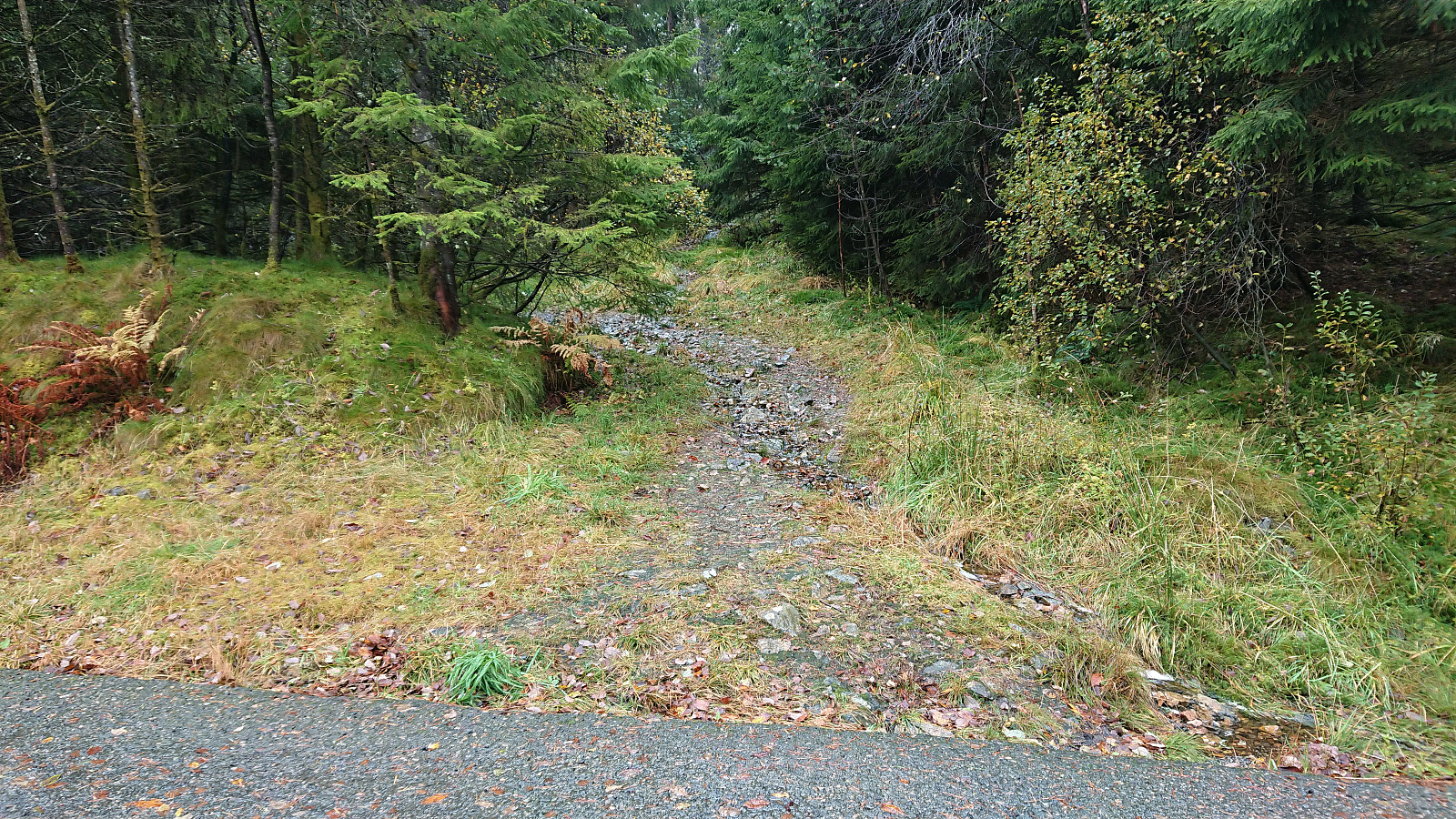
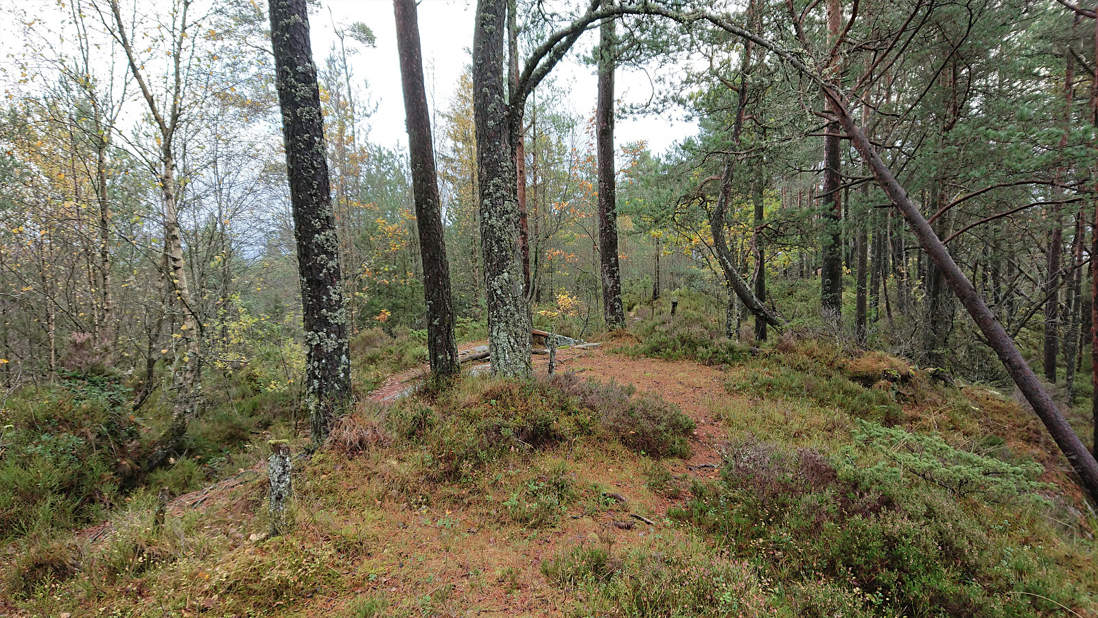
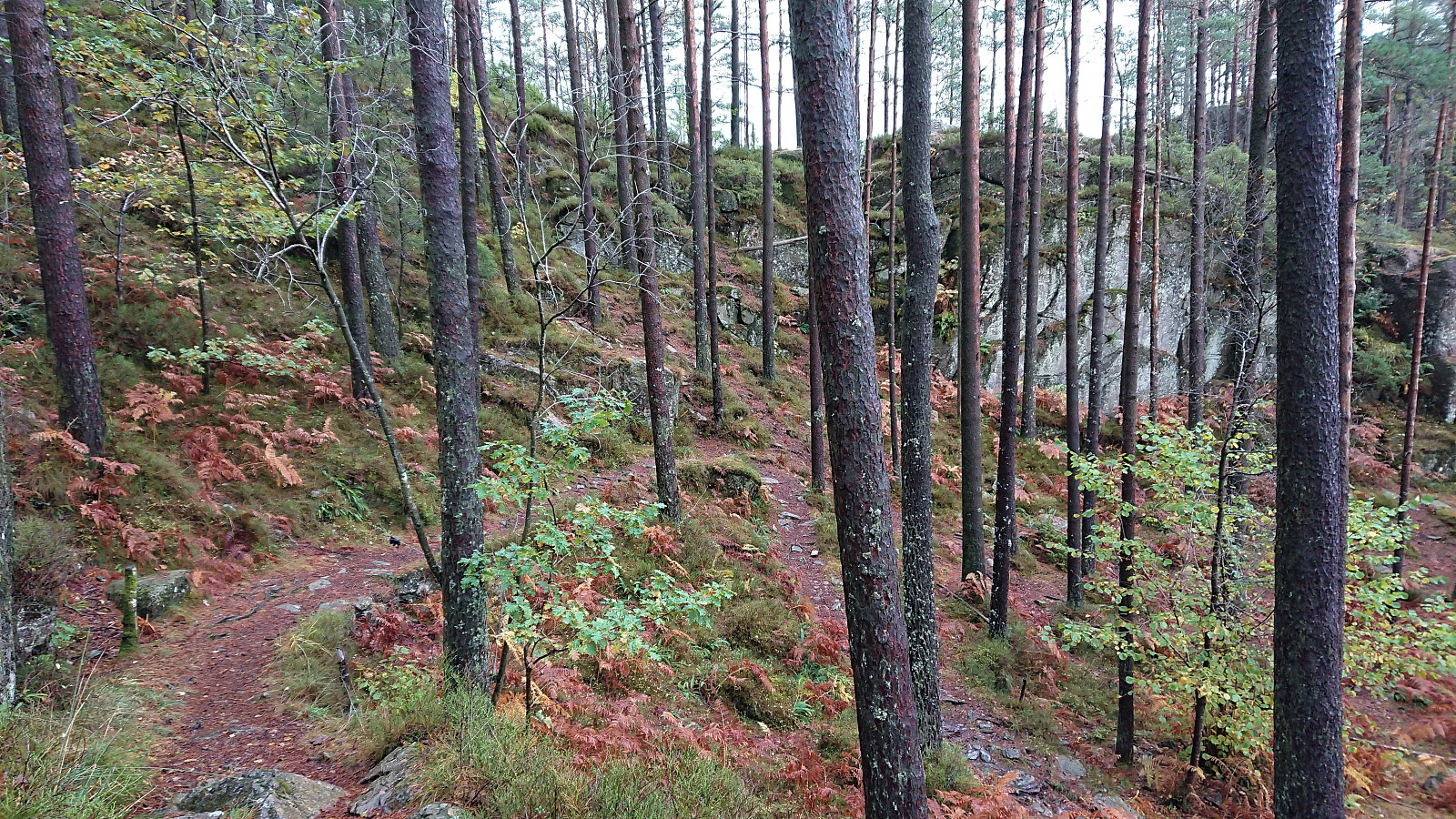
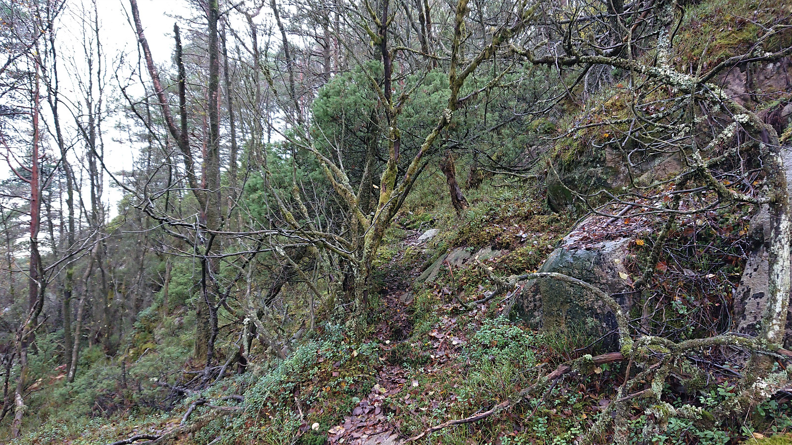
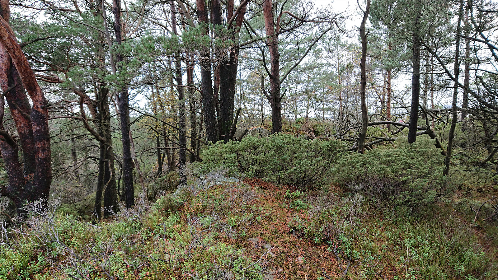
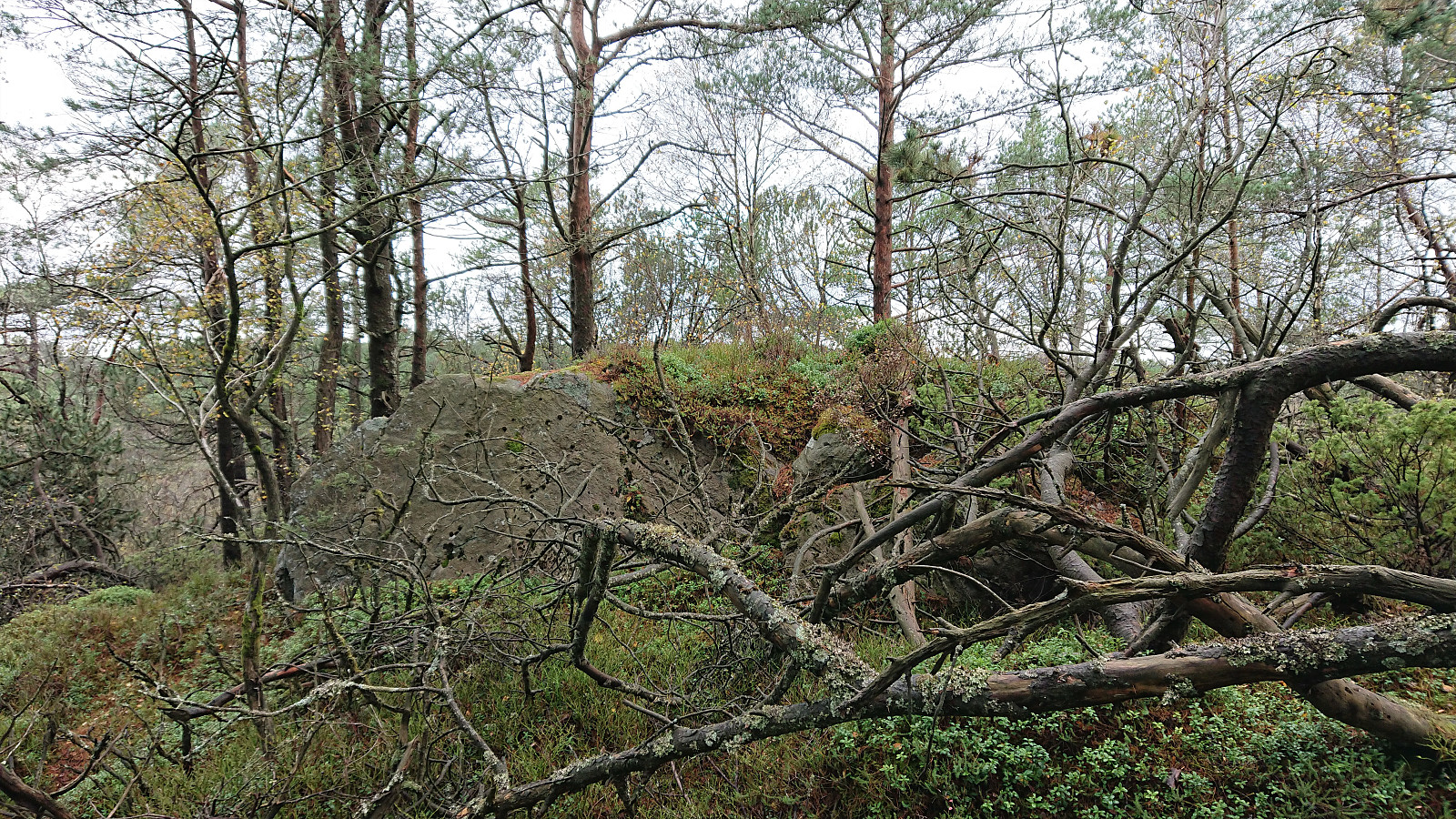
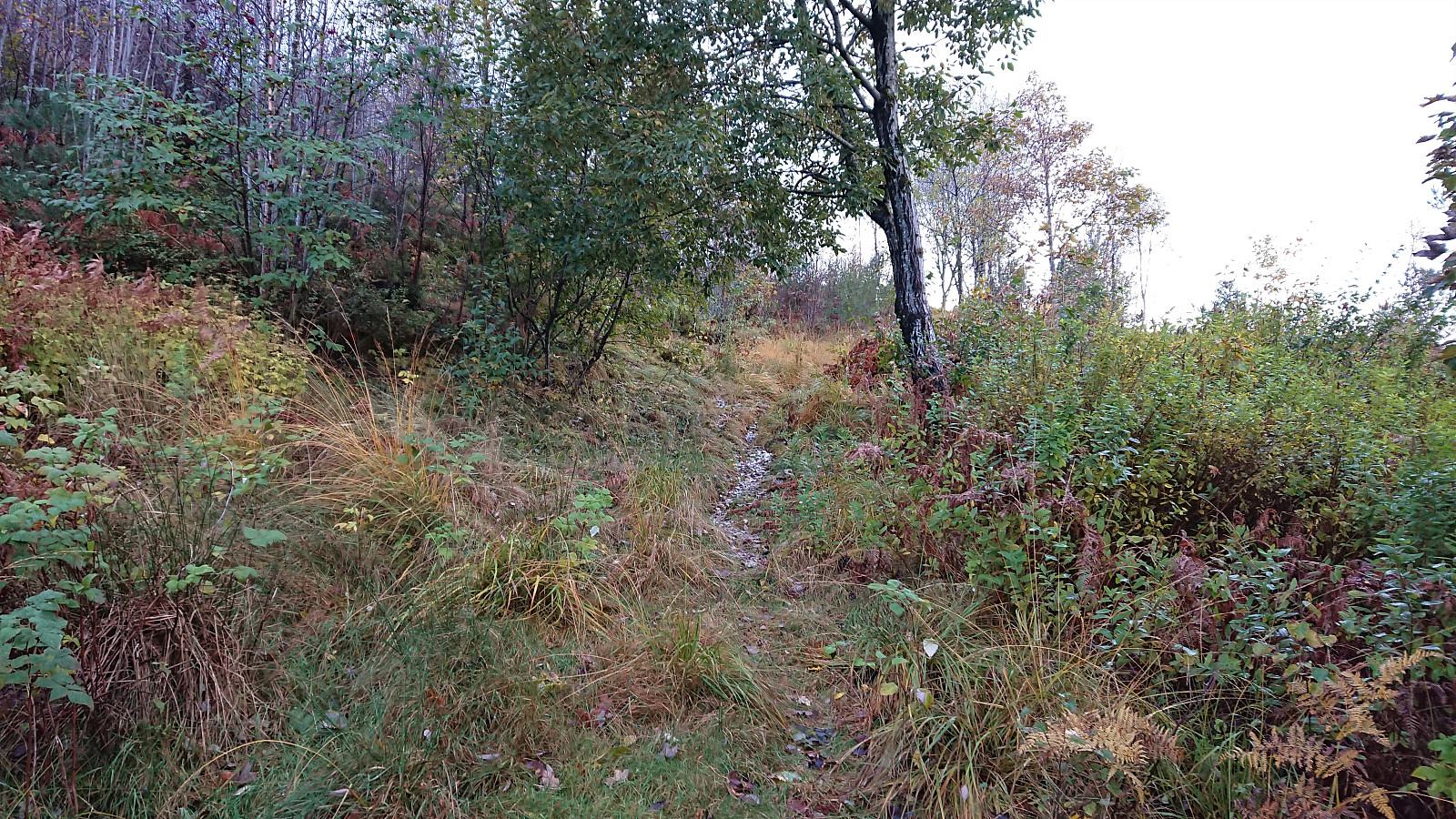
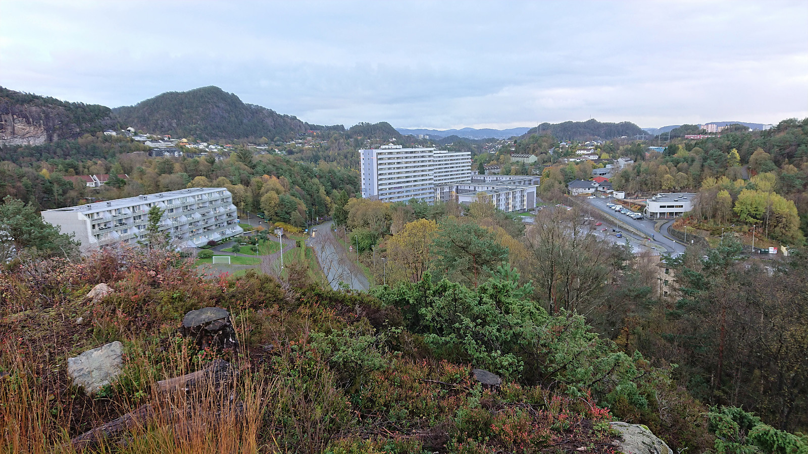
Yet another short hike to visit new peaks on the Alle topper i Bergen list. First up was Vardehaugen, which was easily accessible via a trail from the north. Limited views from the summit, but Bildøybakken could be spotted in the distance. When continuing south along the trail across the summit, I also came across a metal trig marker on a slightly smaller hill. This trail later turned into a narrow gravel road before connecting with the wider gravel road east of Vardevatnet.
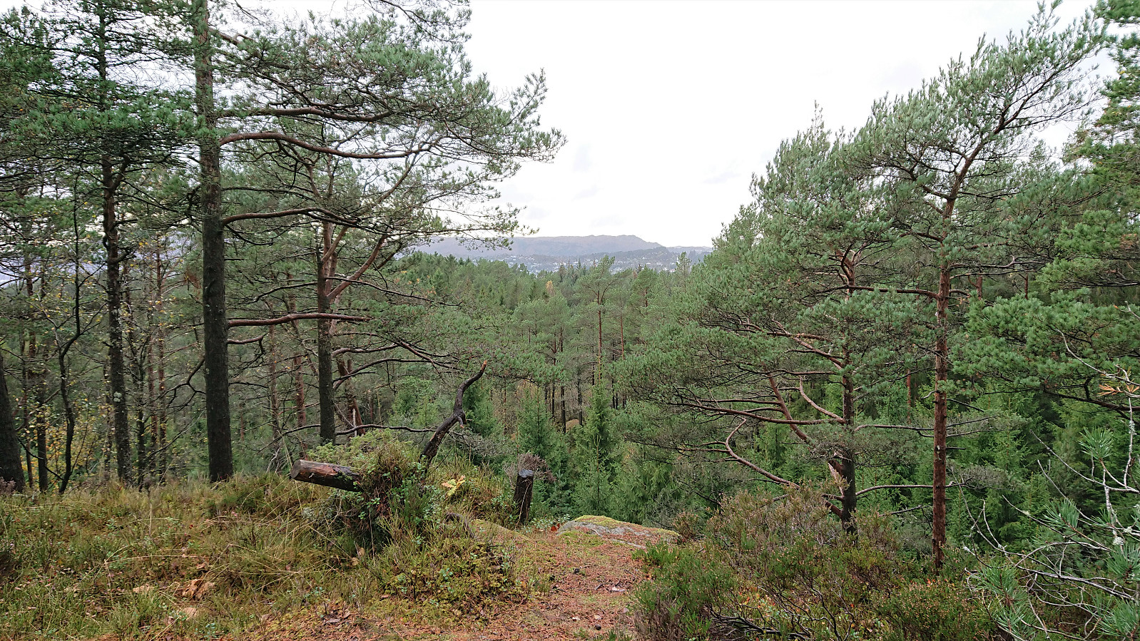
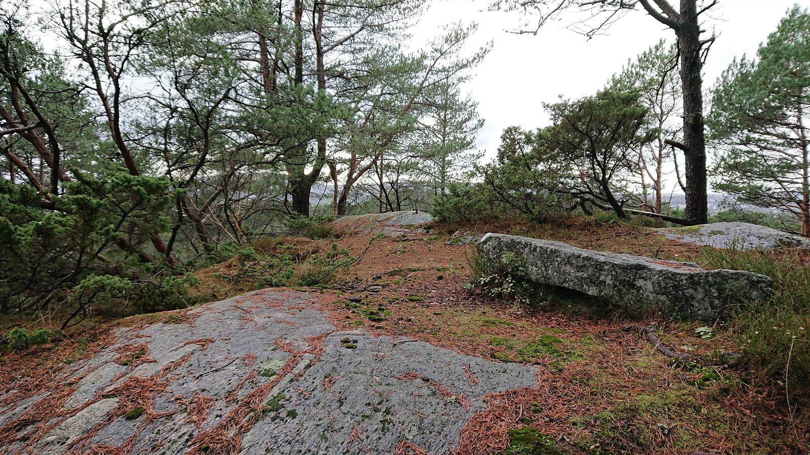
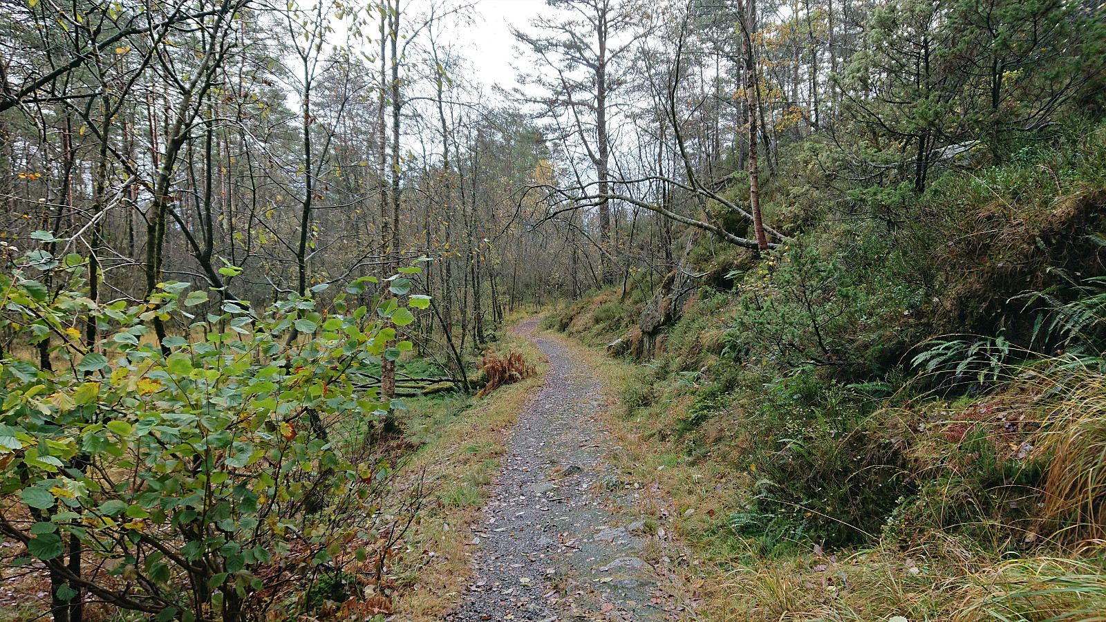
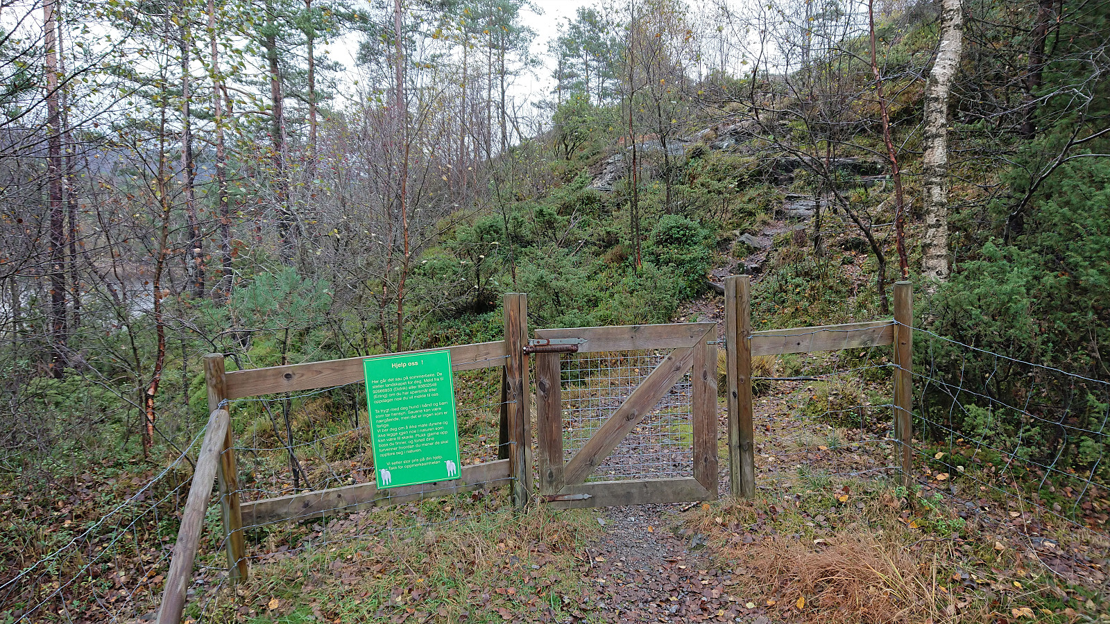
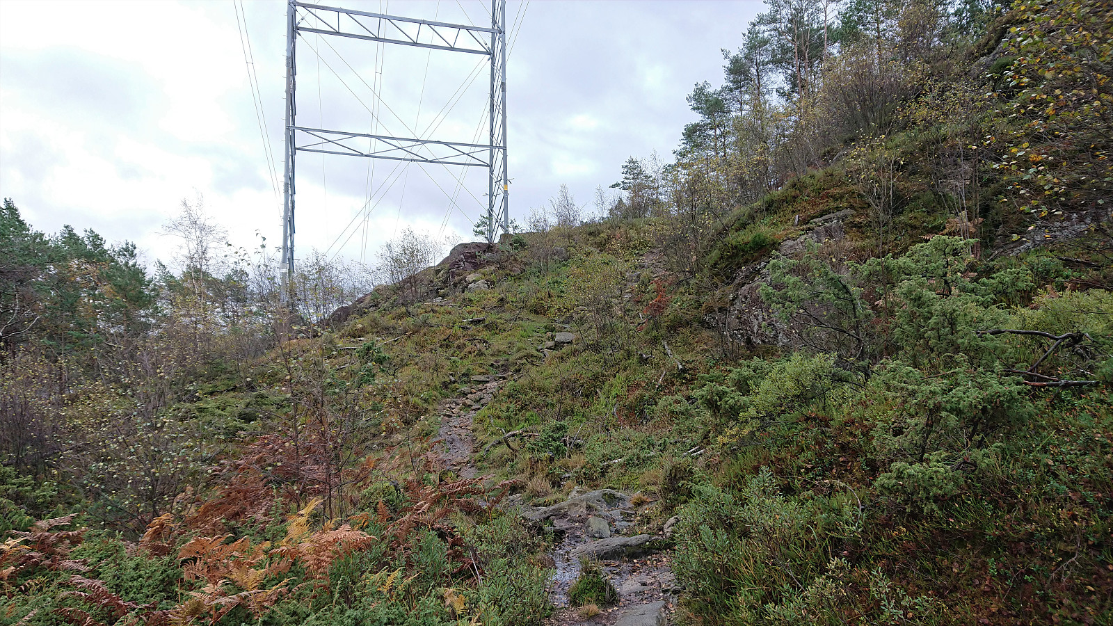
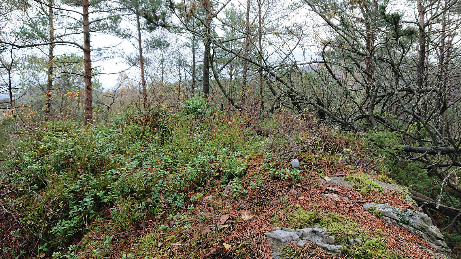
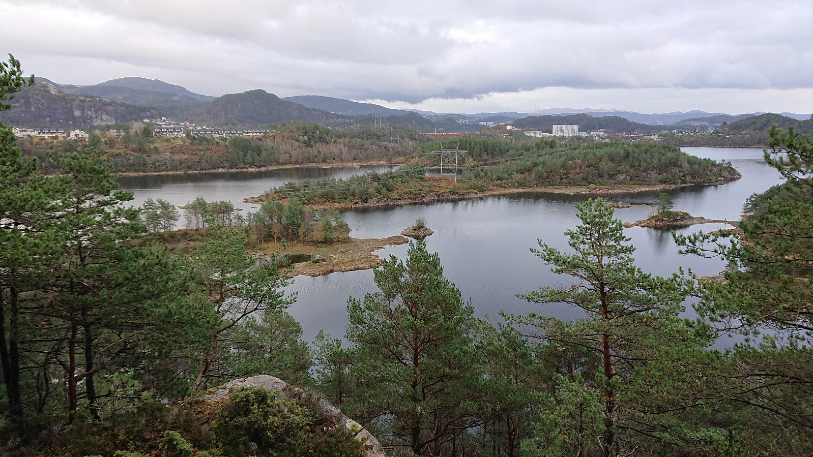
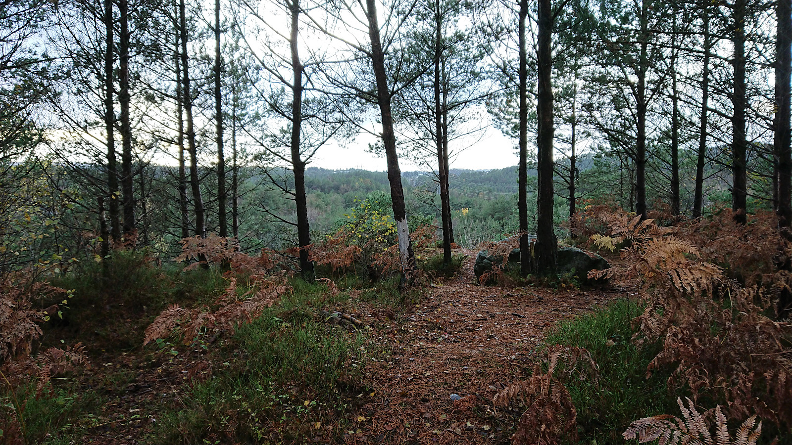
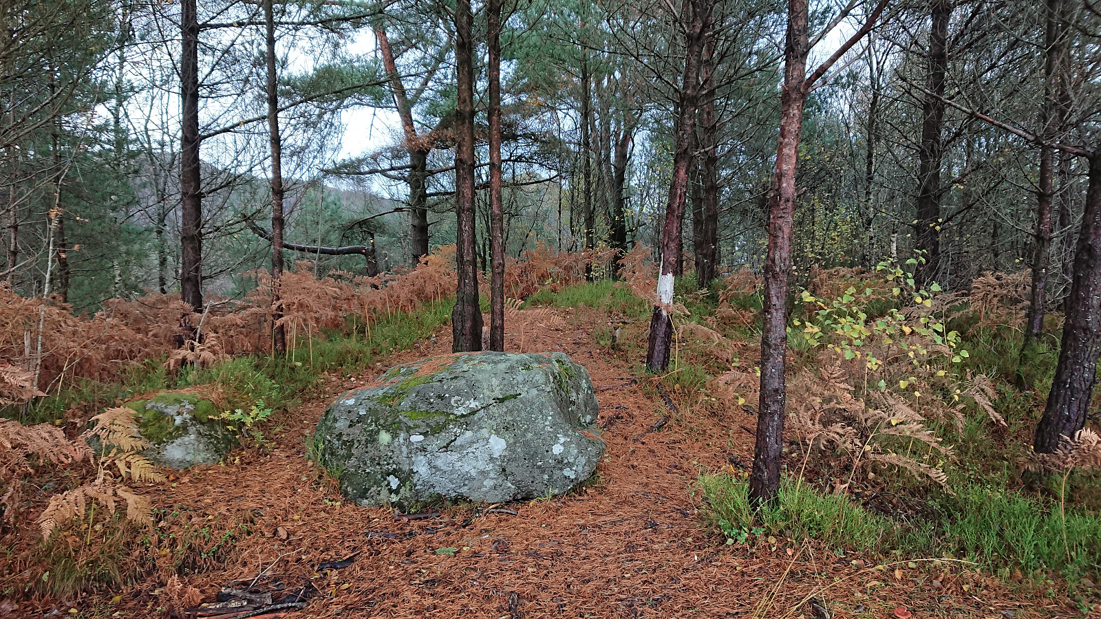
I proceeded to follow the gravel roads until getting just north of Bjørnhaugen. Here I passed through a gate and continued on a trail which later turned into an animal track taking me all the way to the summit. Bjørnhaugen consisted of two small hills in which the northern one was slightly higher and contained a small metal trig marker. The best views were however achieved south of the summit with great view across Storavatnet.
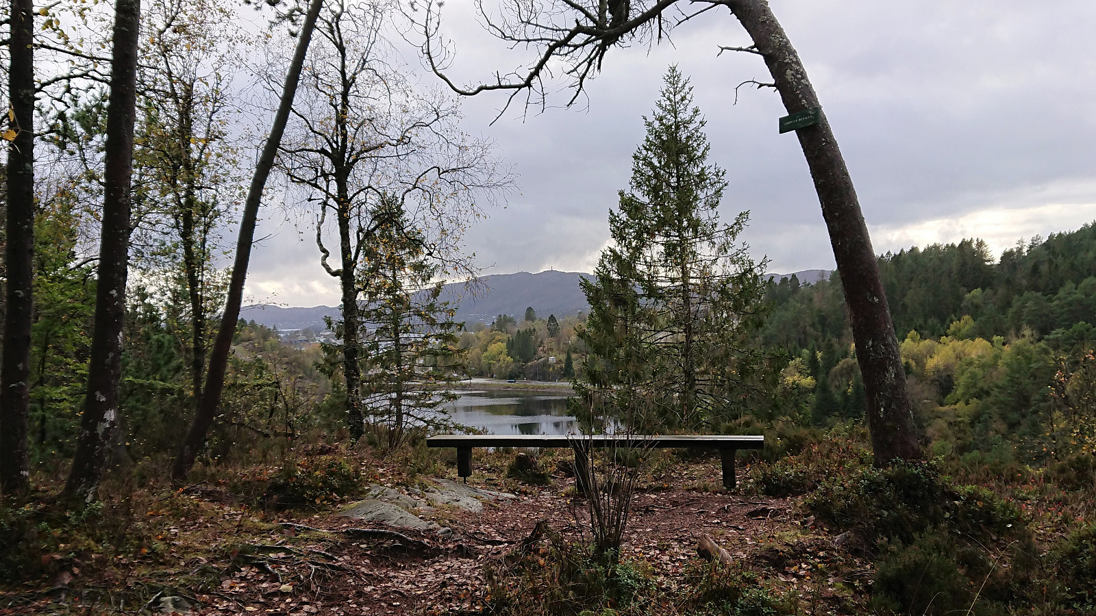
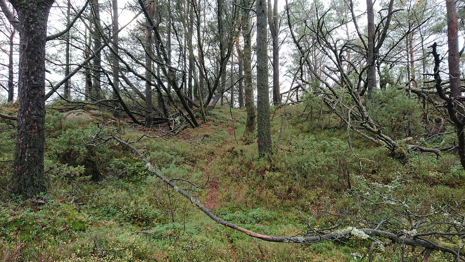
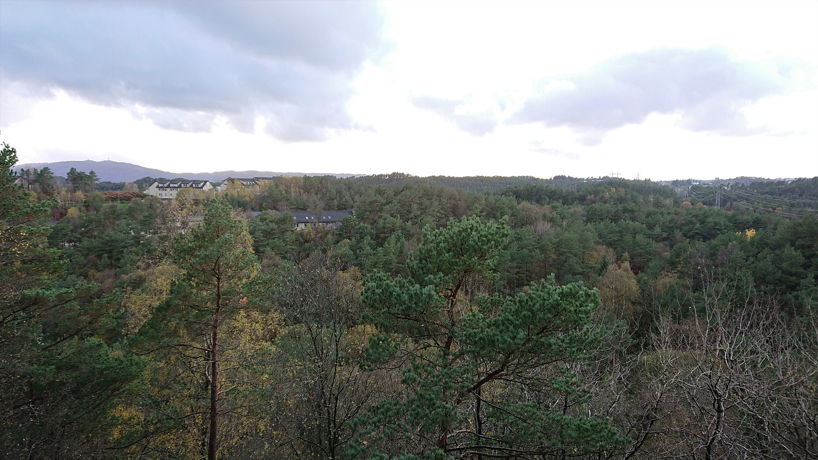
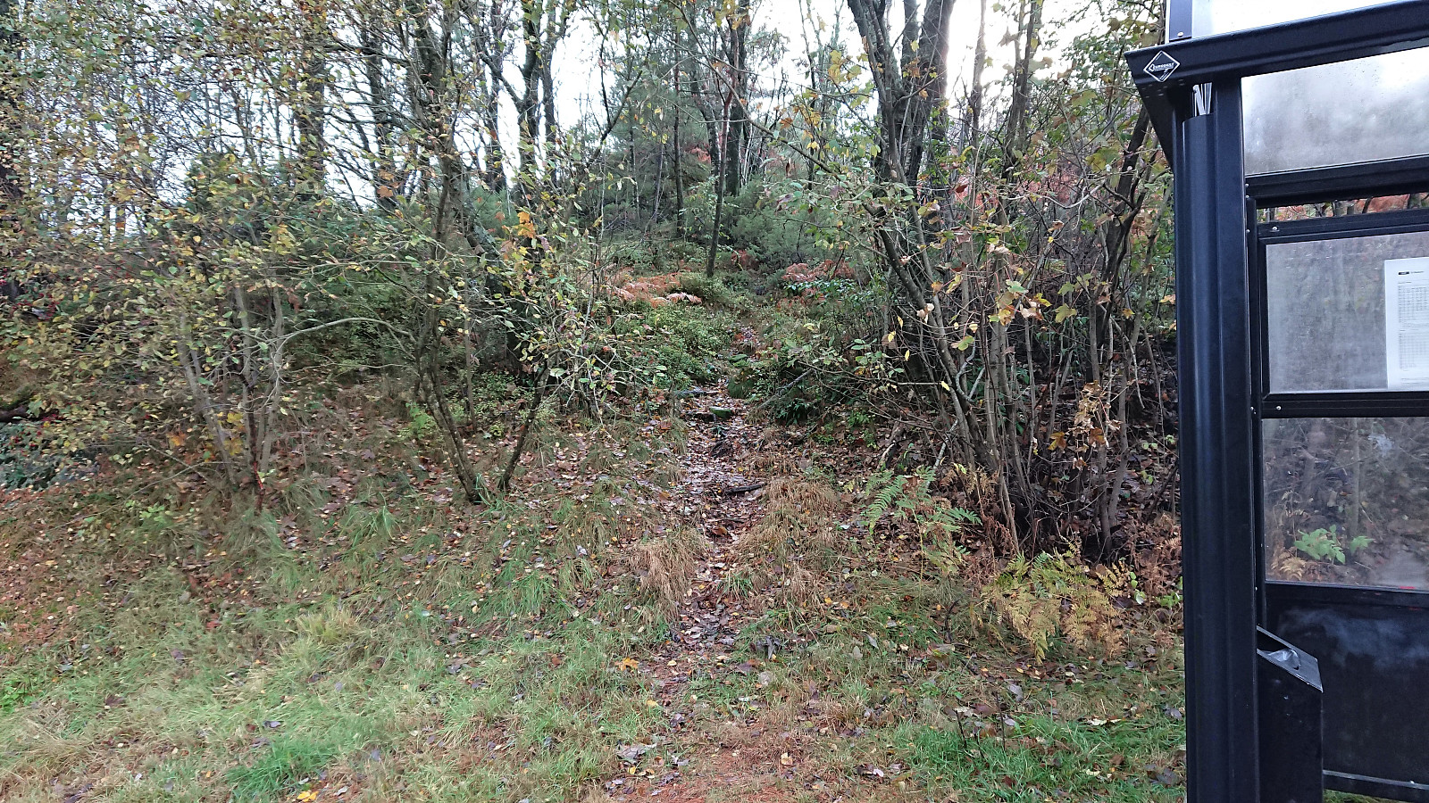
After returning to the gravel road, I walked along the roads to Vadmyra for the final small hill of the day which was simply named Vadmyra. I easily located a trail starting from just behind a small playground northeast of the summit, which took me all the way to the top. While it did not seem like this trail is very heavily used, it did make it straightforward to reach the summit which provided views across the forest to the west with Pyttane visible in the distance. From the summit, I followed the trail south and then east, ending up right next to the bus stop at Vadmyra. I still had a couple of minutes until the bus though, and ended up walking to the next stop before hopping on the bus back to Lønborg.
In summary, each of these three small summits can be reached without any difficulties. Given the limited views I'm not sure many hikers will bother though. The walk along the gravel roads in between the summits can however be more highly recommended.
| Starttidspunkt | 16.10.2021 15:30 (UTC+01:00 ST) |
| Sluttidspunkt | 16.10.2021 17:14 (UTC+01:00 ST) |
| Totaltid | 1t 44min |
| Bevegelsestid | 1t 31min |
| Pausetid | 0t 12min |
| Snittfart totalt | 3,7km/t |
| Snittfart bevegelsestid | 4,2km/t |
| Distanse | 6,5km |
| Høydemeter | 208m |

Kommentarer