Cycling: Osterøybroen (25.07.2019)

| Startsted | Lønborg (55moh) |
|---|---|
| Sluttsted | Lønborg (56moh) |
| Turtype | Gatesykling |
| Turlengde | 3t 41min |
| Distanse | 62,8km |
| Høydemeter | 1077m |
| GPS |
|
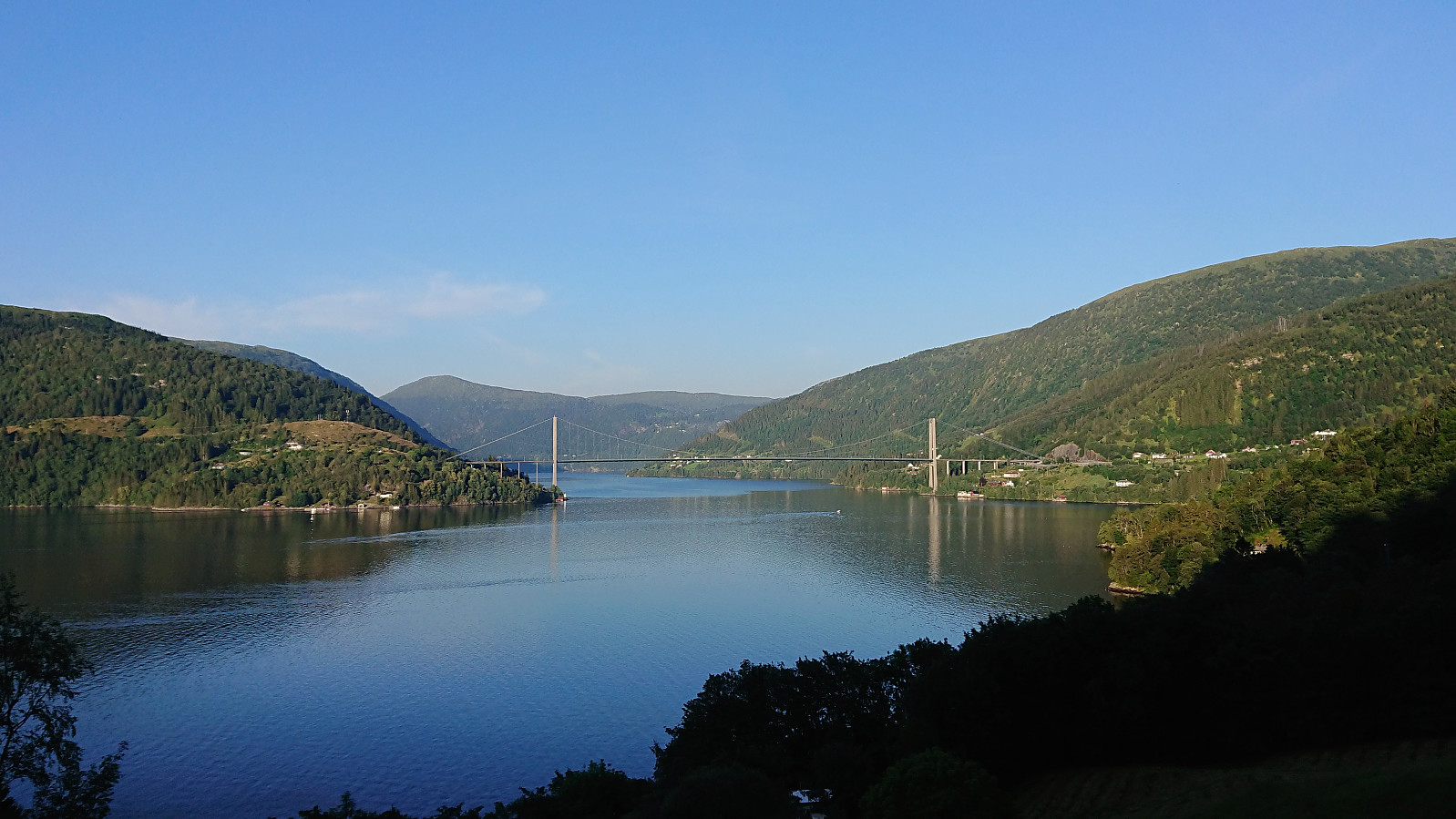
Cycling: Osterøybroen
Partial trial run to test the feasibility of using the bike as the means of transportation for a visit of Hikletten. Should be doable, but will be a very long trip (more than 120 km for the cycling alone...). However, this test did not include the 400 meters ascent from Bruvik to the parking lot at Båtaleitet, which will clearly be the hardest part.
| Starttidspunkt | 25.07.2019 18:20 (UTC+01:00 ST) |
| Sluttidspunkt | 25.07.2019 22:02 (UTC+01:00 ST) |
| Totaltid | 3t 41min |
| Bevegelsestid | 3t 37min |
| Pausetid | 0t 3min |
| Snittfart totalt | 17,0km/t |
| Snittfart bevegelsestid | 17,3km/t |
| Distanse | 62,8km |
| Høydemeter | 1177m |
Note: The strange zero meters above sea level in the middle of the profile is actually the crossing of Osterøybroen, which is not picked up when correcting the GPS elevation values.

Kommentarer