Håøytoppen (10.12.2016)

| Startsted | Flatøy (16moh) |
|---|---|
| Sluttsted | Tellevik (30moh) |
| Turtype | Fjelltur |
| Turlengde | 3t 07min |
| Distanse | 11,3km |
| Høydemeter | 464m |
| GPS |
|
| Bestigninger | Håøytoppen (171moh) | 10.12.2016 |
|---|---|---|
| Andre besøkte PBE'er | Flatøy p-plass (41moh) | 10.12.2016 |
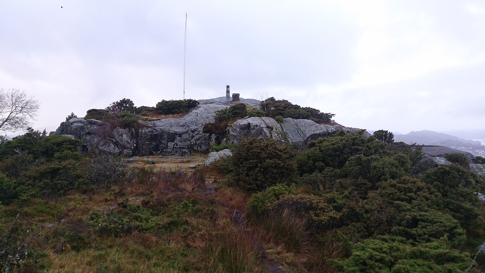
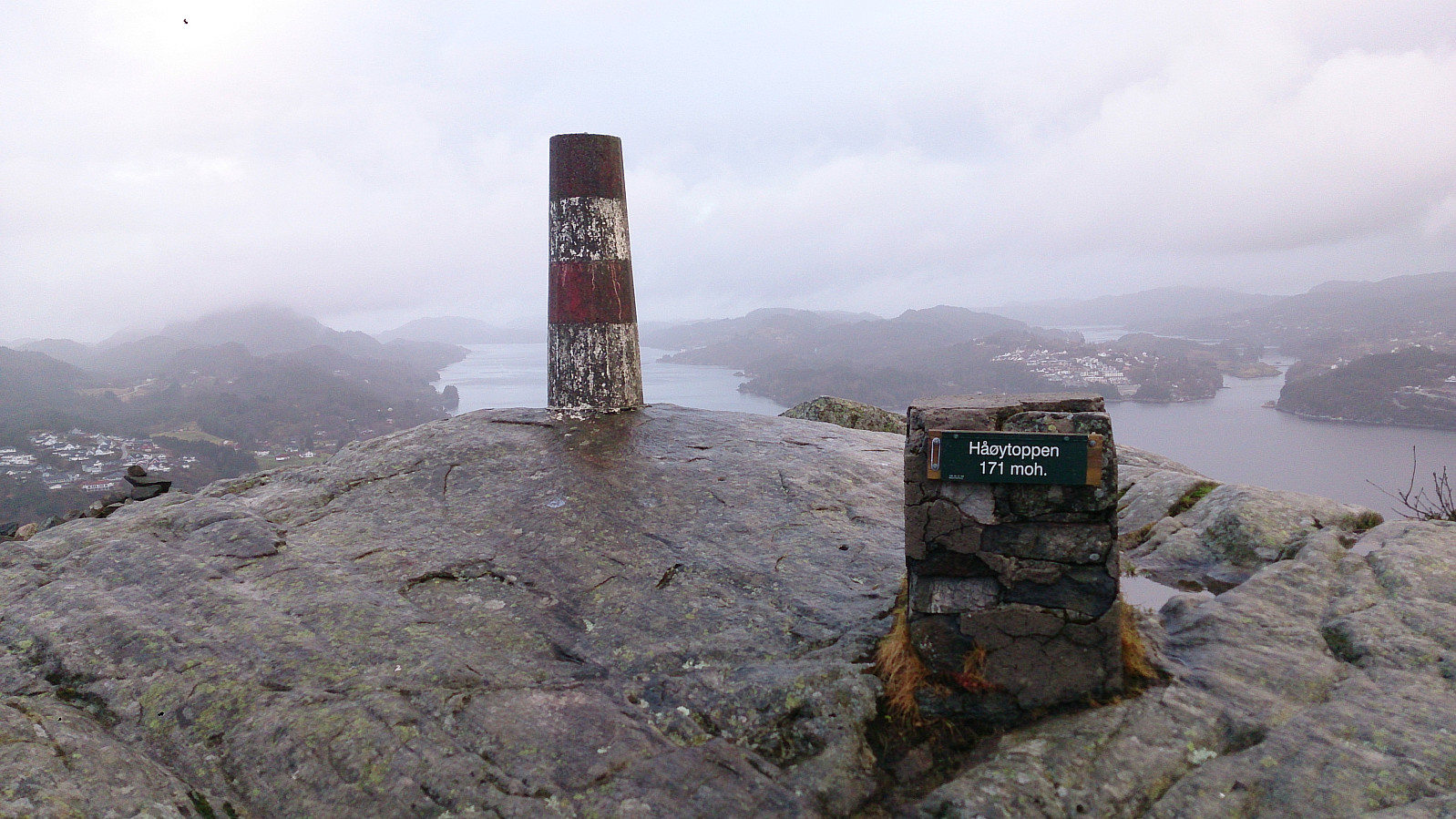
Håøytoppen
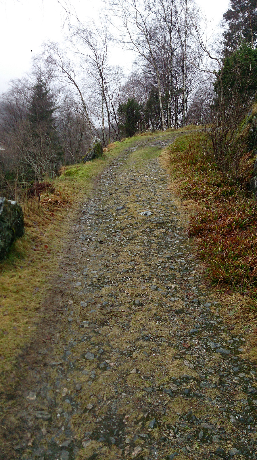
Started by talking the bus to Flatøy and walking along the main road (on a nice wide sidewalk) to a parking lot next to E39 where I found the hiking signs to Håøytoppen. I then followed a varied and easy to follow trail to the southern end of Håøyna, where the trail turned into a gravel road that lead me all the way to the summit of Håøytoppen.
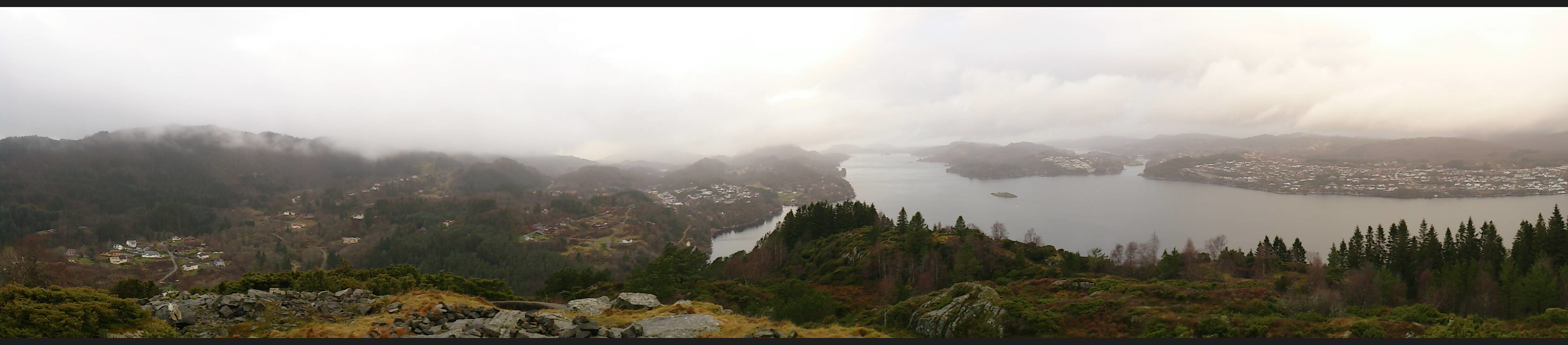
I spent some time at the top exploring the different views before taking (more or less) the same route back to the starting point of the hike. There I figured out that I had to wait quite a while for the bus, so I decided to rather extend the hike by also crossing Nordhordlandsbroen and take the bus from there.

| Starttidspunkt | 10.12.2016 12:48 (UTC+01:00) |
| Sluttidspunkt | 10.12.2016 15:55 (UTC+01:00) |
| Totaltid | 3t 07min |
| Bevegelsestid | 2t 54min |
| Pausetid | 0t 12min |
| Snittfart totalt | 3,6km/t |
| Snittfart bevegelsestid | 3,9km/t |
| Distanse | 11,3km |
| Høydemeter | 463m |

Kommentarer