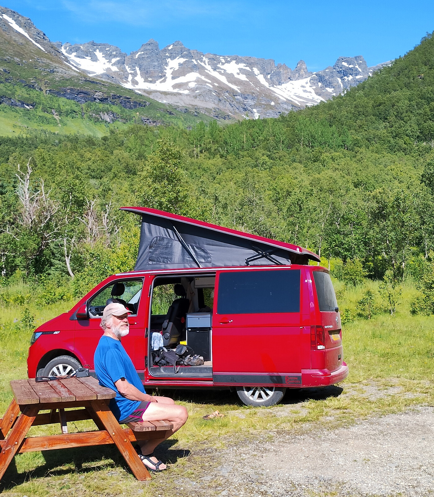
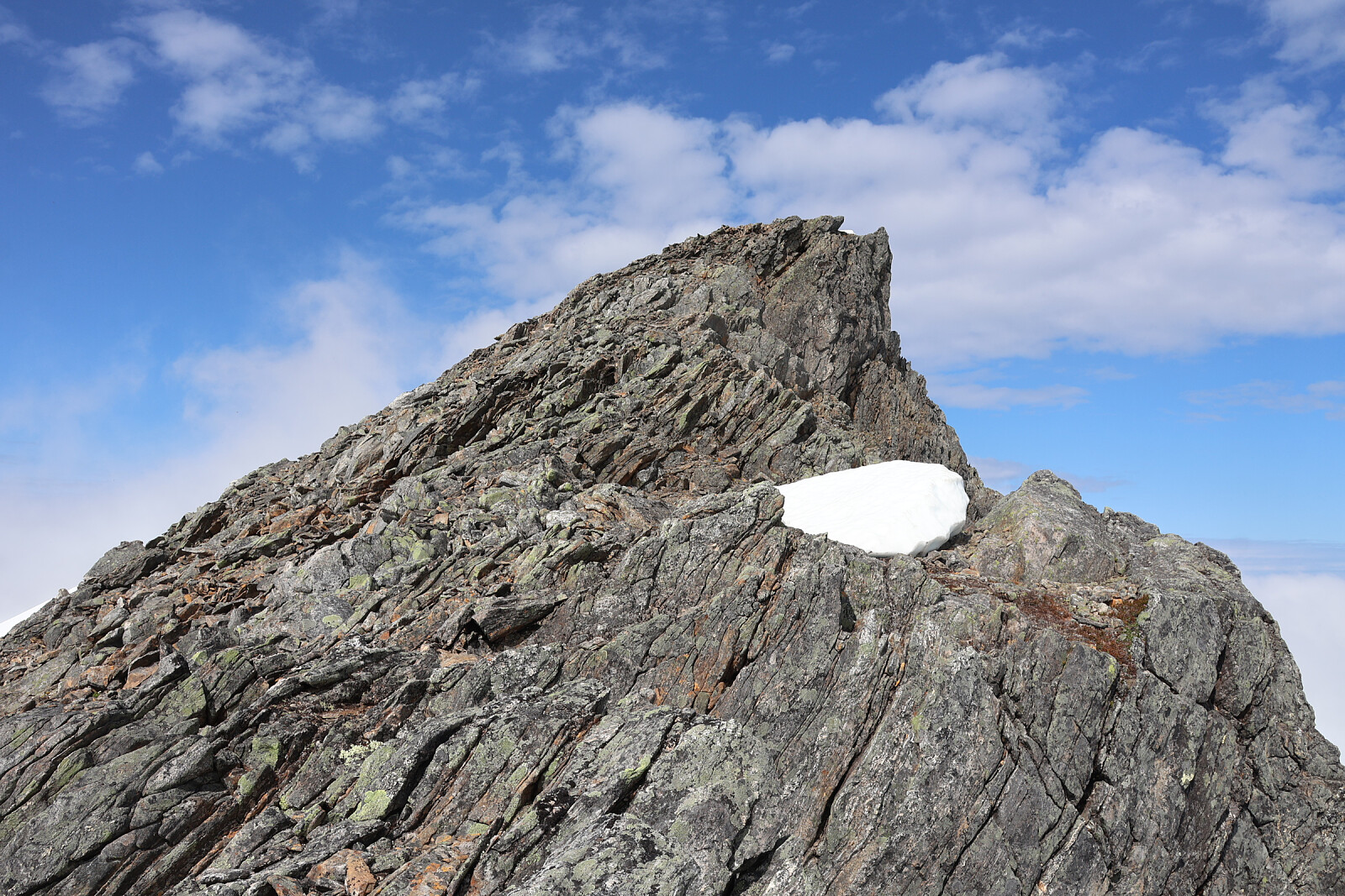
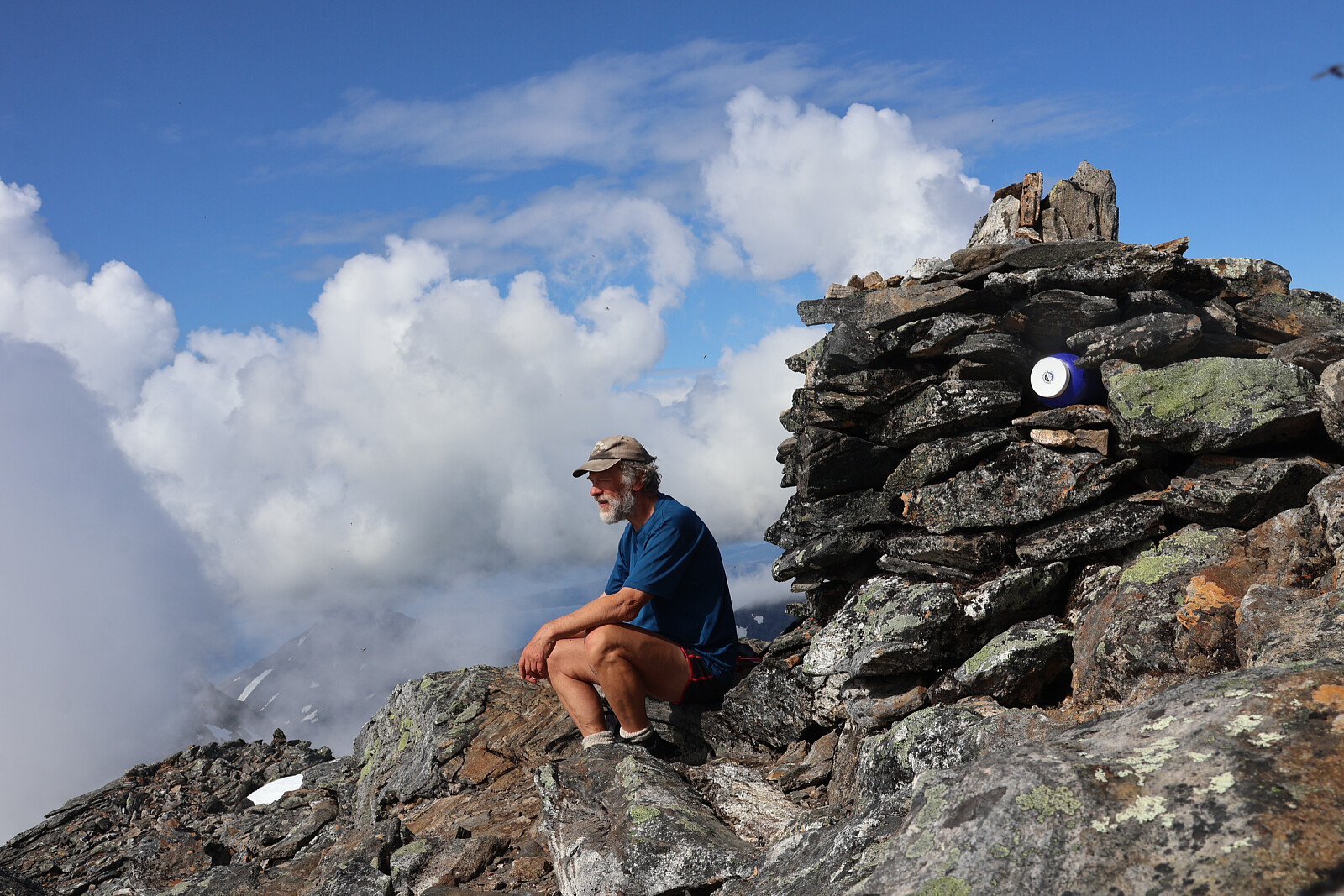
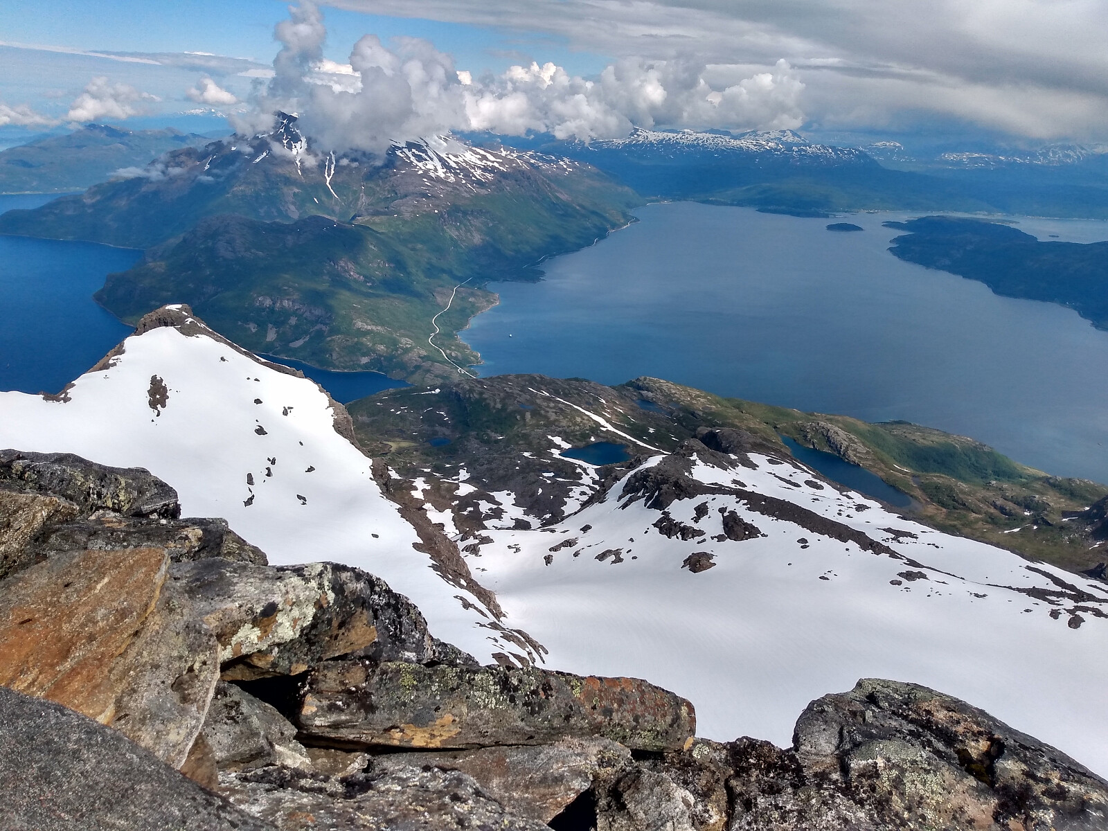
From Straumsbotn by narrow waymarked trail hrough the woods to a junction (pole). Judith continued to Juliusvatnet. I continued on her route too far and had to traverse across the slope to my route. Continued as small trail with red paintmarks to Innerholvatnet (frozen), then up rocky ridge. Numerous small scrambling steps. Snow fields up side of ridge to a col overlooking a corrie falling the other side. In mist for a while up snow patches. Lost any semblance of a trail and scrambled up rough rock to summit ridge (right of summit) above 1200m. Threaded my way along a very narrow ridge and crossed a snow patch. Scrambled to 1276m summit. Descended more directly, some paintmarks, back to high snow patches, then reversed ascent route down scramble steps to lake and across top of wooded slope down to Straumsbotn.


Kommentarer