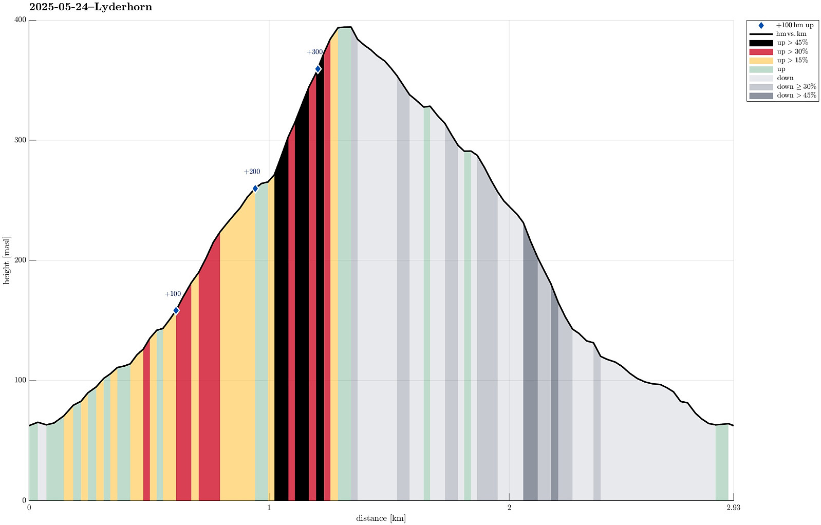
Lyderhorn (24.05.2025)

| Startsted | Kjøkkelvikveien (60moh) |
|---|---|
| Sluttsted | Kjøkkelvikveien (60moh) |
| Turtype | Fjelltur |
| Turlengde | 1t 30min |
| Distanse | 2,9km |
| Høydemeter | 346m |
| GPS |
|
| Bestigninger | Lyderhorn (396moh) | 24.05.2025 |
|---|---|---|
| Andre besøkte PBE'er | Lyderhornhytten (lokalitet) (396moh) | 24.05.2025 |
| Lyderhornslien parkering (90moh) | 24.05.2025 |
Note that this track has been created from memory, i.e., it was not recorded automatically.
Trip Summary
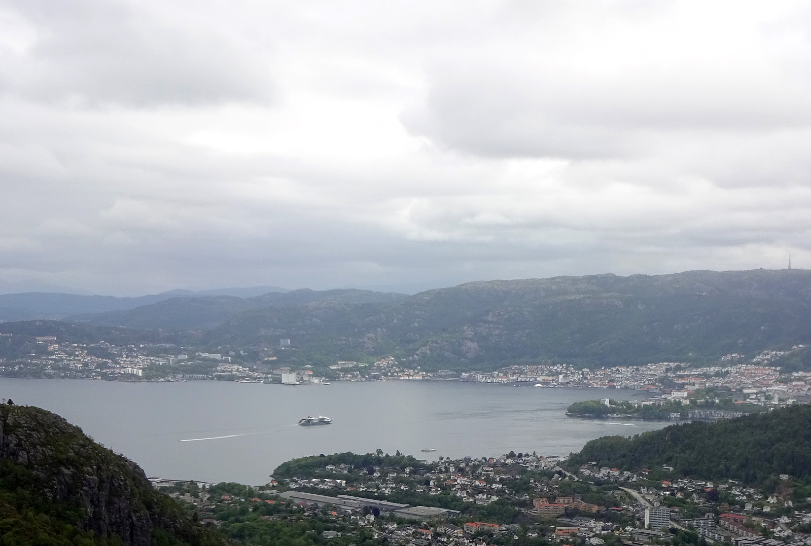
We had something like two hours available and thus aimed at "just" Lyderhorn in the neighborhood. Always nice to hike up and down this little mountain with nonetheless impressive views! :-)
Photos
Selected photos are available as Google photo album.
Useful Resources
See also the related FB-page Hiking around Bergen, Norway.
Petter Bjørstad has a useful page about Lyderhorn and also web page WestCoastPeaks.com provides useful information about Lyderhorn and Ørnafjellet.

Kommentarer