Jurefethaugen and Vikåsen (27.10.2024)

| Startsted | Turøyvegen (15moh) |
|---|---|
| Sluttsted | Turøyvegen (15moh) |
| Turtype | Fottur |
| Turlengde | 2t 00min |
| Distanse | 4,9km |
| Høydemeter | 245m |
| GPS |
|
| Bestigninger | Jurfedthaugen (49moh) | 27.10.2024 |
|---|---|---|
| Vikåsen (55moh) | 27.10.2024 |

Trip Summary
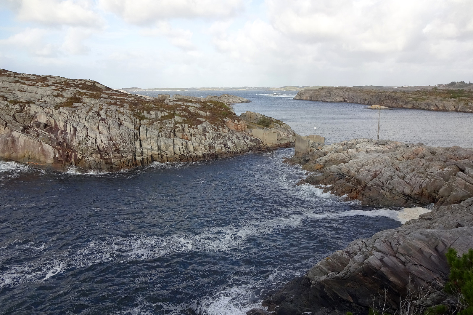
The main idea was to use a window between some predicted rain showers and to go and have a look at the place, where some 40 years ago two wave power stations were built at Kalvøyna in Øygarden. To make this at least somewhat a hike, also, we parked near Balsvågen right next to Turøyvegen. From there, our first goal was to step up to Jurefethaugen (or Gjugrefethaugen or ...). This worked out without difficulties (we only needed to walk around a rather wet spot between the street and the hill). Close to the top, we passed a really impressive stone wall. From Jurefethaugen, we aimed at Lykleneset a bit further north. The idea was to see if we could make it there via the wild west-side of this peninsula. This worked well, but it should be noted that progress is not necessarily possible everywhere. Even though this stretch was all-in-all rather short, we still got to enjoy a number of amazing views (towards the west, mostly). Once on Lykleneset (and looking down into Lyklholet), we immediately got to see that the bridge to Kalvøyna had disappeared. We still descended to Bølgekraftvegen and took a closer look. Without a bridge, though, there was no way to get over and thus we instead continued along our planned hiking route (next goal: Vikåsen). To approach Vikåsen, we first crossed the bridge to Ådråtten, but turned right (southwards) right after the bridge, walking parallel to the water right under some quite impressive cliffs. A bit further south, close to a house, we stepped into the valley of a small stream, coming down from the east. After crossing the stream, we quickly made a couple of height meters, also stepping out of the forest. Within a few minutes, we connected to a nice trail that brought us to Vikåsen (or Stegevikåsen). From there, we then took another trail in southward direction, until we got to Turøyvegen. To get back to our car, we then crossed the road and found a nice way to return back northwards without walking along the road. Only the last few meters, we eventually followed the road. Even though we did not make it to the Kalvøyna and the place, where the wave power stations were, we still enjoyed this hike and the wild impressions (wind, waves, etc.). :-)
Photos
Selected photos are available as Google photo album.
Useful Resources
See also the related FB-page Hiking around Bergen, Norway. See also the related Wikipedia page about the wave power stations at Toftestallen (in Norwegian). Ketil Moland Olsen wrote a report about visiting Kalvøyna about 10 years ago.

Kommentarer