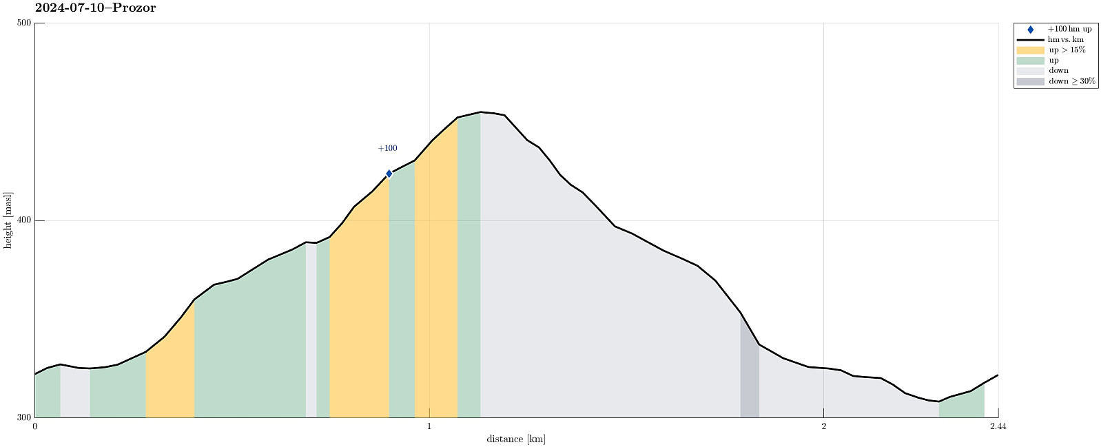
Prozor from Arapovac (10.07.2024)

| Startsted | Arapovac (320moh) |
|---|---|
| Sluttsted | Arapovac (320moh) |
| Turtype | Fjelltur |
| Turlengde | 2t 00min |
| Distanse | 2,4km |
| Høydemeter | 149m |
| GPS |
|
| Bestigninger | Prozor (458moh) | 10.07.2024 |
|---|
Note that this track has been created from memory, i.e., it was not recorded automatically.
Trip Summary
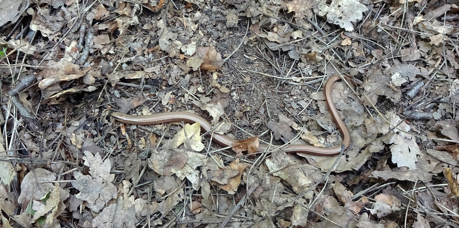
We were up for a short hike, given the quite hot weather. From Arapovac, we made our way up to Prozor, mostly without any trail. To get back to Arapovac, we chose another route, also (partly) without any (proper) trail. Hiking in those parts, which are covered by some older forest, was nice and without challenges; hiking through newer forest, however, was challenging due to the extra-dense vegetation! :-)
Photos
Selected photos are available as Google photo album.
Useful Resources
See also the related FB-page Hiking around Bergen, Norway.

Kommentarer