Tverrfjellet (21.08.2021)

| Startsted | Nordvik (65moh) |
|---|---|
| Sluttsted | Nordvik (65moh) |
| Turtype | Fjelltur |
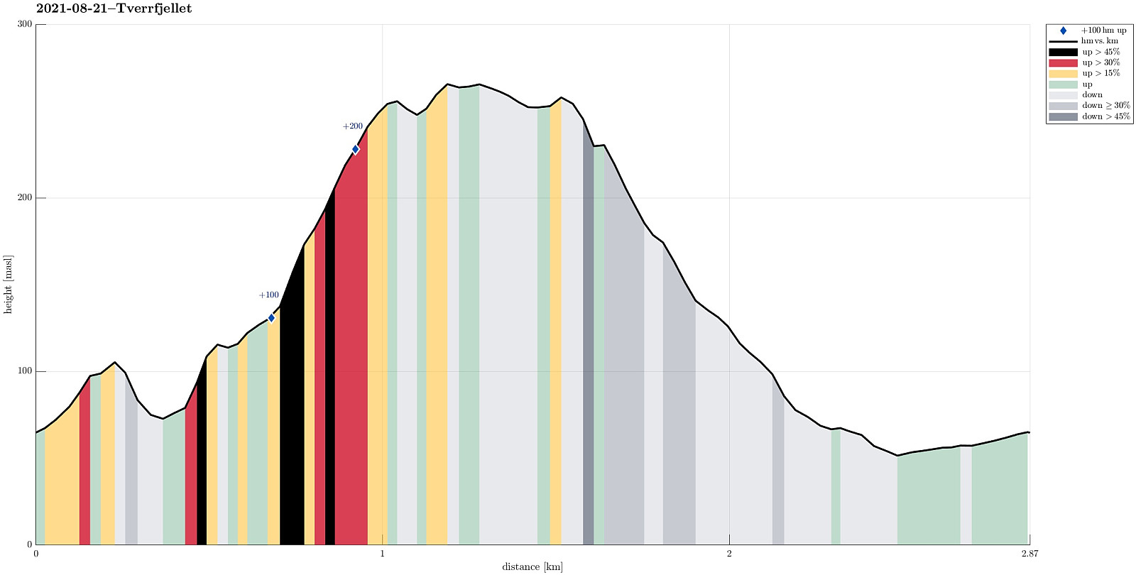
| Turlengde | 1t 30min |
| Distanse | 2,9km |
| Høydemeter | 275m |
| GPS |
|
| Bestigninger | Tverrfjellet (268moh) | 21.08.2021 |
|---|
Trip Summary
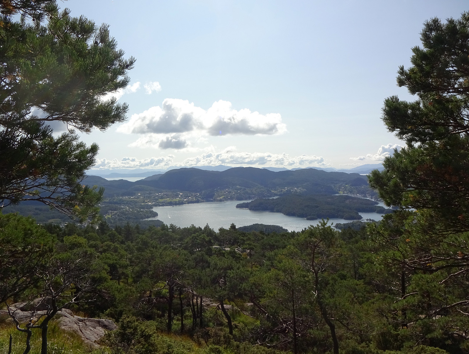
With just a little bit of time available, we simply headed for a short exploration of the forest north of Nordvik (south of Fanafjellet). After driving over Fanafjellet from Bergen, we parked along road 5158 just northeast of Nordvik. From there, we proceeded right into the forest (in western direction), coming by Klubnehaugen in its north only a short while later, before entering the valley of Moldstigen north of Nordvik. Instead of following the main trail up this valley, we ascended into the direction of Tverrfjellet, leaving the valley in western direction. After a bit of an ascent through the forest, we arrived first at a smaller side-top of Tverrfjellet in its southeast. Even though we already had some nice views from there (between the trees), we still made it across a little wet area to the actual "top" of Tverrfjellet from which we enjoyed some nice views, also. To get back, we headed eastwards (northeast first) and towards the somewhat upper section of Moldstigen. Avoiding some of the rather steep eastern sides of Tverrfjellet, we found a convenient slope that lead us down to Moldstigen (and the trail). Once back on the trail, we just walked out the valley and back to our car. Nice little excurision, after all! :-)
Photos
Selected photos are available as Google photo album.
Useful Resources
See also the related FB-page Hiking around Bergen, Norway.

Kommentarer