Around Vinddalen (19.01.2020)

| Startsted | Jordalen (40moh) |
|---|---|
| Sluttsted | Jordalen (40moh) |
| Turtype | Fottur |
| Turlengde | 2t 30min |
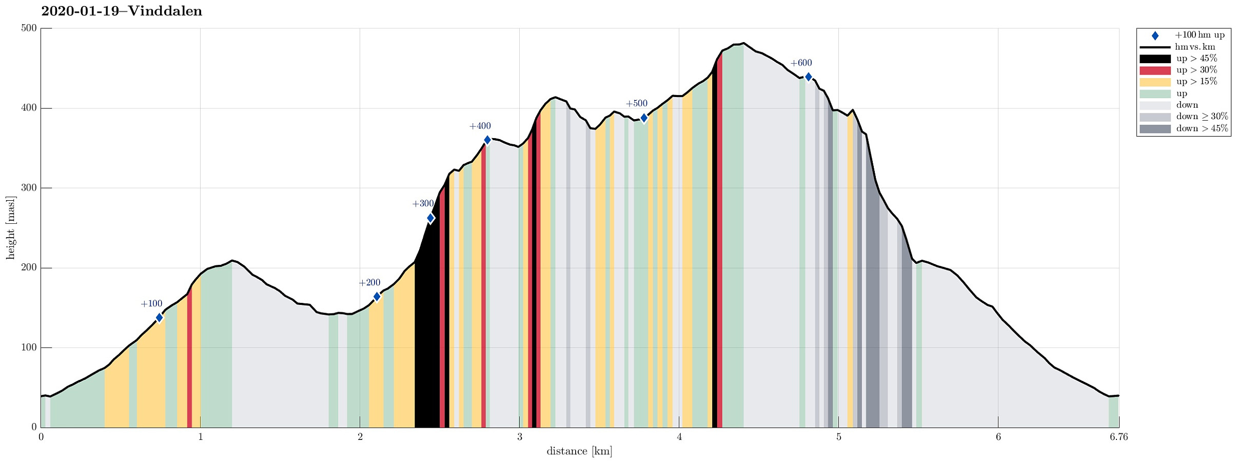
| Distanse | 6,8km |
| Høydemeter | 623m |
| GPS |
|
| Bestigninger | Stangelifjellet (372moh) | 19.01.2020 |
|---|---|---|
| Ulskebjørnen (446moh) | 19.01.2020 | |
| Øst for Stangelifjellet (418moh) | 19.01.2020 | |
| Andre besøkte PBE'er | Jordalsveien p-lomme (40moh) | 19.01.2020 |
| Stallane (207moh) | 19.01.2020 |

Trip Summary
With not so very many daylight hours available, we aimed at something "local". Ever since I read about Sofusstien, I thought that it would be nice to try this way (up to Stangelifjellet). We thus drove to Jordalen and parked near the bridge over the little stream, which comes down from southeast. We then hiked first into the direction of Jordalsskaret, but turned left (and upwards) soon after we had come to the end of the road. This way, on a proper forest road, we ascended about 100 height meters into the direction of Ulskebjørnen, before we connected to Stallane, which sits on a small saddle more or less directly under Ulskebjørnen. Later, during this hike, we then came down from Ulskebjørnen there. In order to get to Sofusstien, we followed the road Stallane down towards Vinddalen. Only a few meters after turning right onto Vinddalsveien, we saw a sign guiding us onto Sofusstien (and up to Stangelifjellet). Sofusstien is easy to find, once there, even though Norgeskart does not show it in their map. It leads steeply upwards on the very northwestern end of Vinddalen and joins the trail, which comes up from the dam of Setervatnet, at about 325mosl. From there, it's then up towards Stangelifjellet along the main ridge north of Vinddalen. Since both sides of this ridge are substantially steep, one has really nice views in many directions from several spots along this trail. Once at Stangelifjellet, we followed the "upper edge" of Vinddalen into the direction of Vinddalsskaret (up there in southeastern direction). At Vinddalsskaret, another trail joins (from Simsedalen). From there, it's then again upwards (towards Ørnafjellet), passing under a major power line shortly after Blomtørne. At Ørnafjellet one needs to decide, whether to continue towards Vikinghytten, or towards Ulskebjørnen. More or less exactly when we were at Ørnafjellet, some not-so-very-nice weather came over Vidden. We thus decided to take the shorter route back, descending from Ulskebjørnen to Stallane. This trail is very steep and thus offers great views over Jordalen! Once down at Stallane, we took the same route back to the car, which we had taken up there in the beginning.
Photos
Selected photos are available as Google photo album.
Useful Resources
See also the related FB-page Hiking around Bergen, Norway.
Web page WestCoastPeaks.com provides useful information about Storsåta, Raunfjellet, Nukane, and Slettafjellet.
Web page UT.no from the Norwegian Trekking Association recommends a similar hike around Vinddalen.

Kommentarer
Sofusstien
Skrevet av hbar 20.01.2020 22:52Great to see my discovery being used by others! Looks like a nice roundtrip. :)
Re: Sofusstien
Skrevet av HHauser 20.01.2020 23:17You're inspiring -- again and again! :-) Hiking around Vinddalen was on my list for a while -- spectacular views for sure and Vinddalen, with its particular round shape, is clearly a special place near Bergen!