From Weissenbach to the Haleswiessee and back (04.07.2005)

| Startsted | Weissenbach (478moh) |
|---|---|
| Sluttsted | Weissenbach (478moh) |
| Turtype | Fottur |
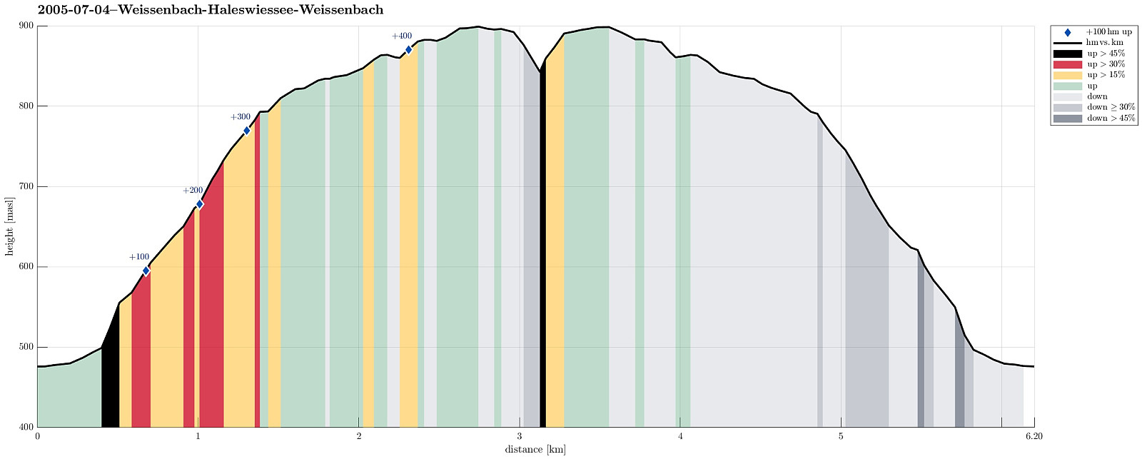
| Turlengde | 4t 00min |
| Distanse | 6,2km |
| Høydemeter | 488m |
| GPS |
|
| Andre besøkte PBE'er | Fachbergsattel (922moh) | 04.07.2005 |
|---|
Note that this track has been created from memory, i.e., it was not recorded automatically.
Trip Summary
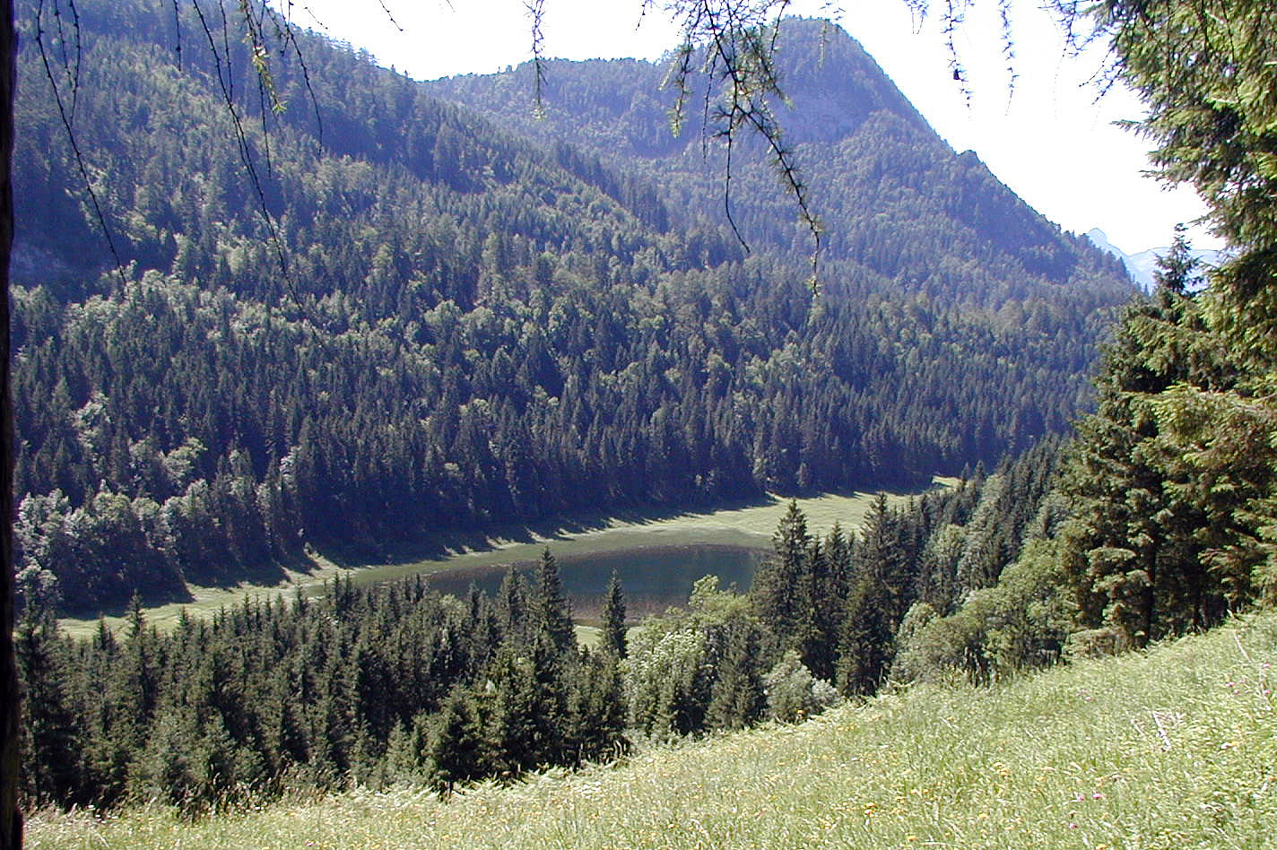
We started from the Waldsiedlung in Weissenbach am Attersee and ascended on the southern side of the valley until we came to an intermediate height, almost meeting Loidlbach, which nearby takes a turn to the left and towards the Burgaubach further down (west of Weissenbach). Instead of continuing further up to one of the nearby mountains, we instead crossed a saddle to get further towards Haleswiessee, a nice little lake, surrounded by the mountains around it. We enjoyed some time up there, before we returned, basically along the same path that we had taken up first.
Useful Resources
See also the related FB-page Hiking around Bergen, Norway.

Kommentarer