Rotterdam-exploration 08: To Brielle and back (10.09.2017)

| Startsted | Rotterdam Centrum (5moh) |
|---|---|
| Sluttsted | Rotterdam Centrum (5moh) |
| Turtype | Sykkeltur |
| Turlengde | 5t 00min |
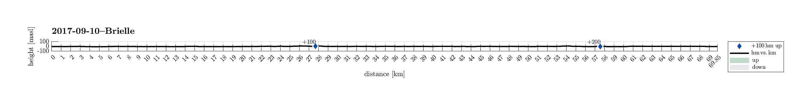
| Distanse | 69,8km |
| Høydemeter | 222m |
| GPS |
|
| Andre besøkte PBE'er | 't Vliegend Hert (5moh) | 10.09.2017 |
|---|---|---|
| Rotterdam Centraal (5moh) | 10.09.2017 |
Trip Summary
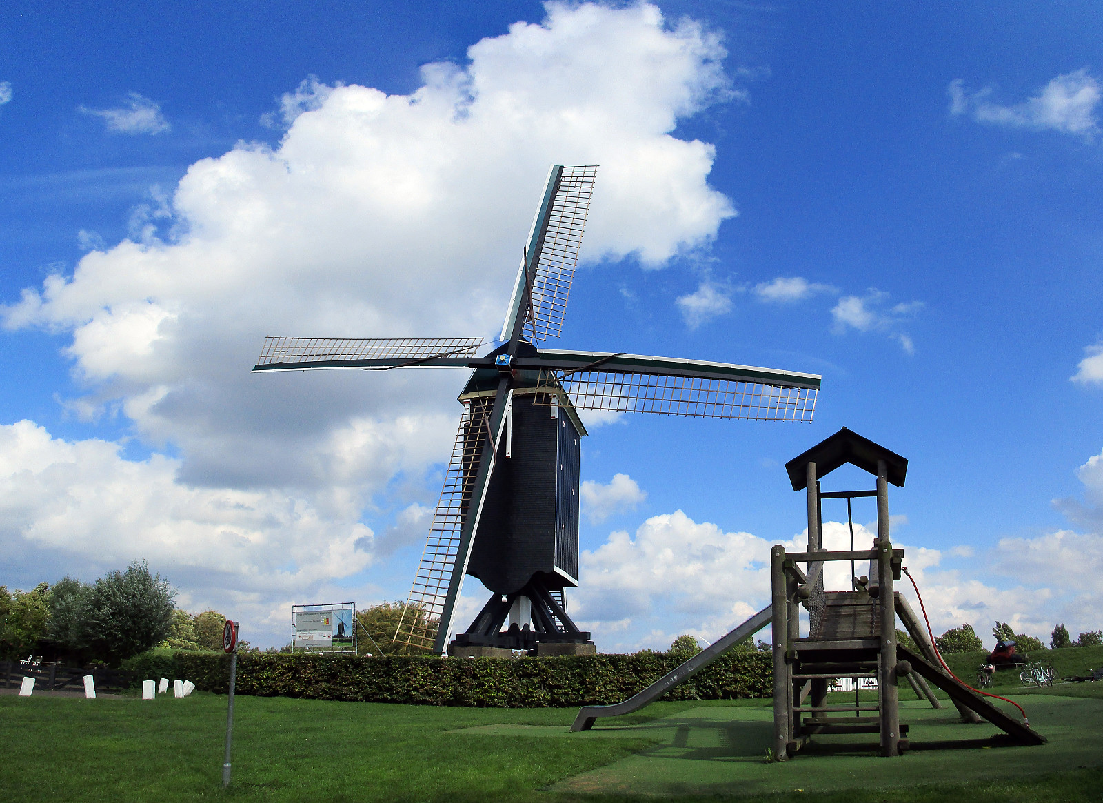
We started from the center of Rotterdam and cycled first northwards, into the direction of the airport of Rotterdam. Near the airport we turned left, then mostly in western direction, and soon reached the Old Overschie at the knee of the Delftsche Schie. We then crossed over to another city part, Kethel en Spaland. Crossing the highway A4, next, we came through city part Holy, continuing further to the large recreation area Broekpolder. Circling this area in its east and south, we ended up on Broekpolderweg, cycling parallel to highway A20 into western direction and towards Maassluis. In Maassluis, we found our way southwards to Deltaweg from where a ferry took us over the Maas to the southern side. There, we crossed Rozenburg to get onto large bridges, which led us over Calandkanaal, Hartelkanaal, and the Brielse Meer, which we then followed on its southern side into the west and towards Brielle. In Brielle, after a nice little lunch, we made a short round through the old town, looking at the St. Catharijnekerk and especially also at the massive fortifications around the old town. We then followed the Brielse Meer back (into eastern direction), heading back towards Rotterdam. This brought us through Zwartewaal, Heenvliet, and Geervliet to Hoogwerf, from where we used Spijkenisserbrug to get over the Oude Maas to Hoogvliet. From there, we continued through some very green areas to Waalhaven and along it to the tunnel under the Maas. On the other, northern side, we then only passed by EuroMast to get back to the city center.
Photos
Selected photos are available as Google photo album.
Useful Resources
See also the related FB-page Hiking around Bergen, Norway.

Kommentarer