Evening hike on Algrøyna (23.06.2016)

| Startsted | Algrøyna (5moh) |
|---|---|
| Sluttsted | Algrøyna (5moh) |
| Turtype | Fottur |
| Turlengde | 3t 00min |
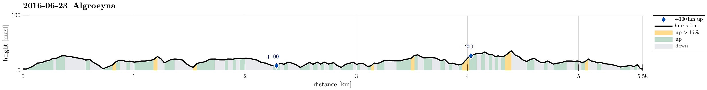
| Distanse | 5,6km |
| Høydemeter | 255m |
| GPS |
|
| Andre besøkte PBE'er | Langtrotten (22moh) | 23.06.2016 |
|---|
Trip Summary
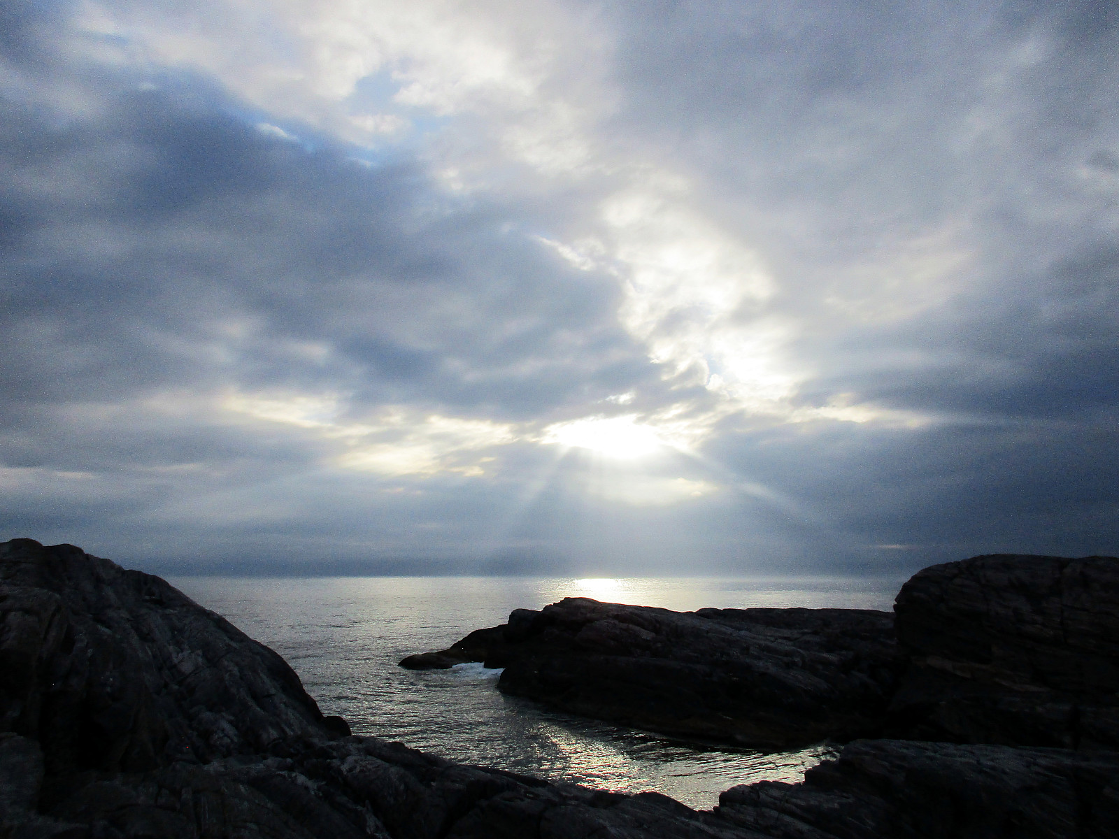
We drove to Algrøyna (out on Sotra) and parked along Vestavegen. From there, we walked a little along the small roads, following Kongvikvegen---basically straight to the west. Near Kongvikvegen 51 (on the left side of the road), we descended towards a path that leads around this building and then southwards towards Kungvika. There, we crossed over to the south of Kungvika, in order to walk out towards Barmaneset. Following the path, we quickly reached the western end of this peninsula, called Langtrotten. There, we had a nice break, before returning. On the way back, we chose a different path, walking along Storavatnet (in the north of it). Walking this way, one ends up in a narrow valley that connects to Storvegen. From there, it's just a few steps back to Vestavegen.
Photos
Selected photos are available as Google photo album.
Useful Resources
See also the related FB-page Hiking around Bergen, Norway.

Kommentarer