
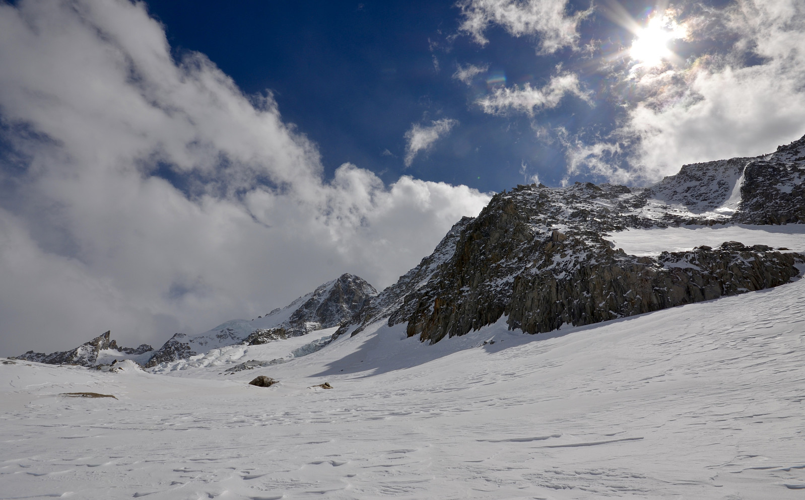
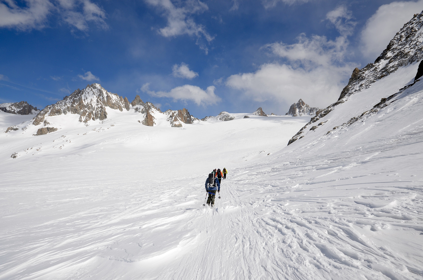
Haute Route, dag 2. Trient - Chamex - Mont Fort (17.04.2016)


| Start point | Cabane du Trient (2,354m) |
|---|---|
| Endpoint | Mont Fort (2,487m) |
| Characteristic | Randonnée/Telemark |
| Duration | 0h 42min |
| Distance | 17.3km |
| Vertical meters | 1,654m |
| GPS |
|
| Visits of other PBEs | Cabane Du Trient (3,170m) | 17.04.2016 |
|---|
Cabane Du Trient - Champex - (Buss) - Verbier - Cabane du Mont Fort.

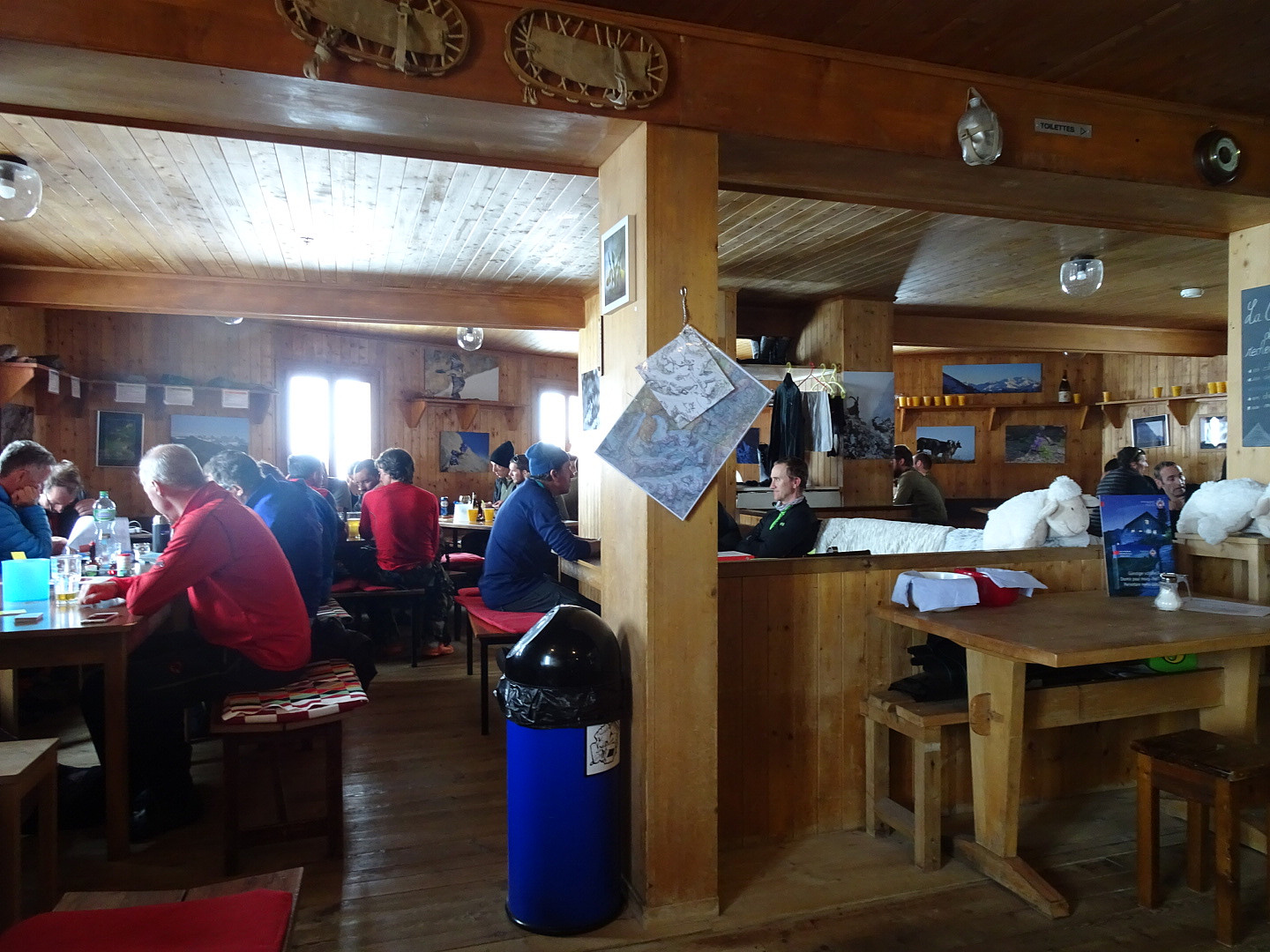


User comments