Archive - Date
Archive - Activity
-
Climbing (43)
- Alpine climbing (31)
- Ice climbing (3)
- Mixed climbing (1)
- Sport climbing (3)
- Via ferrata (1)
-
Other trip (5)
- Expedition (5)
-
Other winter trip (5)
- Snowshoe trip (5)
-
Ski trip (449)
- Backcountry skiing (4)
- Cross-country skiing (2)
- Randonnée/Telemark (441)
-
Trip by foot (507)
- Alpine trip (47)
- Hike (196)
- Hillwalk (205)
- Jogging (4)
- Walk (55)
Peakbook-Friends


Aonach Eagach traverse
- Date:
- 28.02.2008
- Characteristic:
- Alpine trip
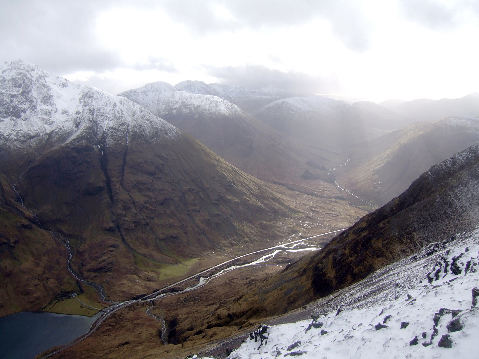 Glencoe's finest ridge traverse done in winter conditions with my university climbing friend Tim while on a long weekend trip in Scotland. I regret not having written a report straight after but the photos can speak for themselves!
Langdale to Scafell round
- Date:
- 16.02.2008
- Characteristic:
- Hillwalk
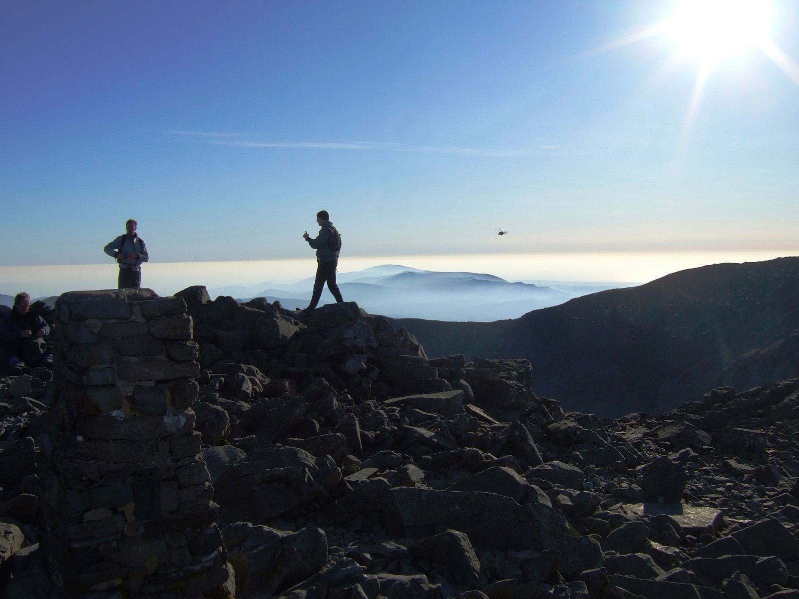 A classic all-time favourite of mine, done in perfect spring-like weather with crystal clear blue skies and warm enough to wear a t shirt without a jacket on top. I started the hike at 11am from Great Langdale, hoping to be 'late enough' on top of Scafell Pike to see a sunset without having to wait around on the top for too long. Bow Fell was busy with many people having lunch when I got there, enjoying the gorgeous views over Great Moss and the hazy layer of sunshine below the summits.
It was nice to be in the company of other enthusiastic hikers and even though some people might prefer to have a mountain to themselves, I think a dozen other hillwalkers in good spirits is better than no one at all. From Bow Fell I took the usual descent northwards and across to Esk Pike, enjoying the views >>>
A classic all-time favourite of mine, done in perfect spring-like weather with crystal clear blue skies and warm enough to wear a t shirt without a jacket on top. I started the hike at 11am from Great Langdale, hoping to be 'late enough' on top of Scafell Pike to see a sunset without having to wait around on the top for too long. Bow Fell was busy with many people having lunch when I got there, enjoying the gorgeous views over Great Moss and the hazy layer of sunshine below the summits.
It was nice to be in the company of other enthusiastic hikers and even though some people might prefer to have a mountain to themselves, I think a dozen other hillwalkers in good spirits is better than no one at all. From Bow Fell I took the usual descent northwards and across to Esk Pike, enjoying the views >>>
Grasmere to Swirls via Helvellyn
- Date:
- 10.02.2008
- Characteristic:
- Hillwalk
- Duration:
- 4:00h
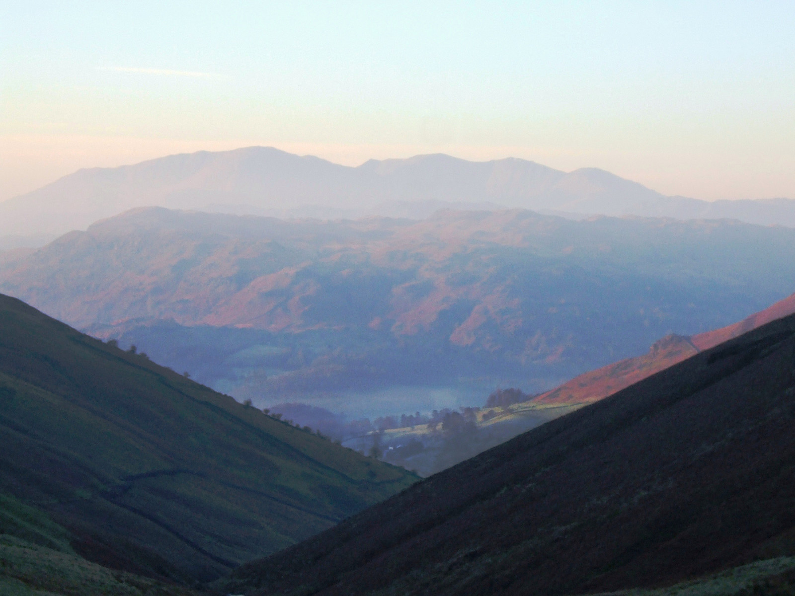 This was a rather straightforward but satisfyingly scenic route from Grasmere in a northerly direction. Since I had a bus to catch before midday, I left the youth hostel at about 7.30am, well on schedule, and made the route into a bit of a time trial by attempting to complete it in as fast a time as possible.
It basically follows the A591 northwards for a while until the foot of the valley starts that leads up to Grisedale Tarn from the south (and not the valley going up here from Dunmail Raise). From Grisedale Tarn it was a bit of hard slog up Dollywagon Pike with a heavy rucksack to carry, but after that there is very little more ascent to make to pass over both Nethermost Pike and Helvellyn. Great views all to myself at the summit, since I arrived there at about 9.30am on a Monday morning >>>
This was a rather straightforward but satisfyingly scenic route from Grasmere in a northerly direction. Since I had a bus to catch before midday, I left the youth hostel at about 7.30am, well on schedule, and made the route into a bit of a time trial by attempting to complete it in as fast a time as possible.
It basically follows the A591 northwards for a while until the foot of the valley starts that leads up to Grisedale Tarn from the south (and not the valley going up here from Dunmail Raise). From Grisedale Tarn it was a bit of hard slog up Dollywagon Pike with a heavy rucksack to carry, but after that there is very little more ascent to make to pass over both Nethermost Pike and Helvellyn. Great views all to myself at the summit, since I arrived there at about 9.30am on a Monday morning >>>
Grasmere circuit
- Date:
- 09.02.2008
It was a misty start to the day, but we took a nice little route from the Grasmere youth hostel, up onto the low ridge above the Langdale valley, following Silver How all the way up to Sergeant Man. It was actually a rather pleasant day after we walked above the cloud line. Then we had uninterrupted sunshine and a beautiful blanket of cloud all below us while enjoying some late morning snacks at the top. From here we walked across High Raise and over Greenup Edge but descending down the Wythburn route by mistake. We eventually had to do a big job in locating something looking like a path, but not very successfully finding one! So it was very wet underfoot as a result and somewhat an adventure too, leaving us with only a very short time to spare before catching the bus to the train station for >>>
Coniston round
- Date:
- 02.02.2008
University mountaineering club meet, staying at the hut opposite the Coppermines youth hostel. I opted for a hike by myself since being typical students, the rest of the club had had a late night on the alcohol and as a result were still in bed at 10am. So I took the route up Wetherlam and followed the natural line of the ridge round to Swirl How, and then toward the Old Man of Coniston. It made for a rough day out on the fells with low cloud, high wind and generally not much to see in the way of views. It was quite a relief to get back into the hut again afterwards!

