
Blanc de Moming (14.07.2020)

| Startpunkt | Cabane du Grand Mountet (2.880m) |
|---|---|
| Tourcharakter | Hochtour |
| Tourlänge | 5h 32min |
| Entfernung | 8,0km |
| Höhenmeter | 1.190m |
| GPS |
|
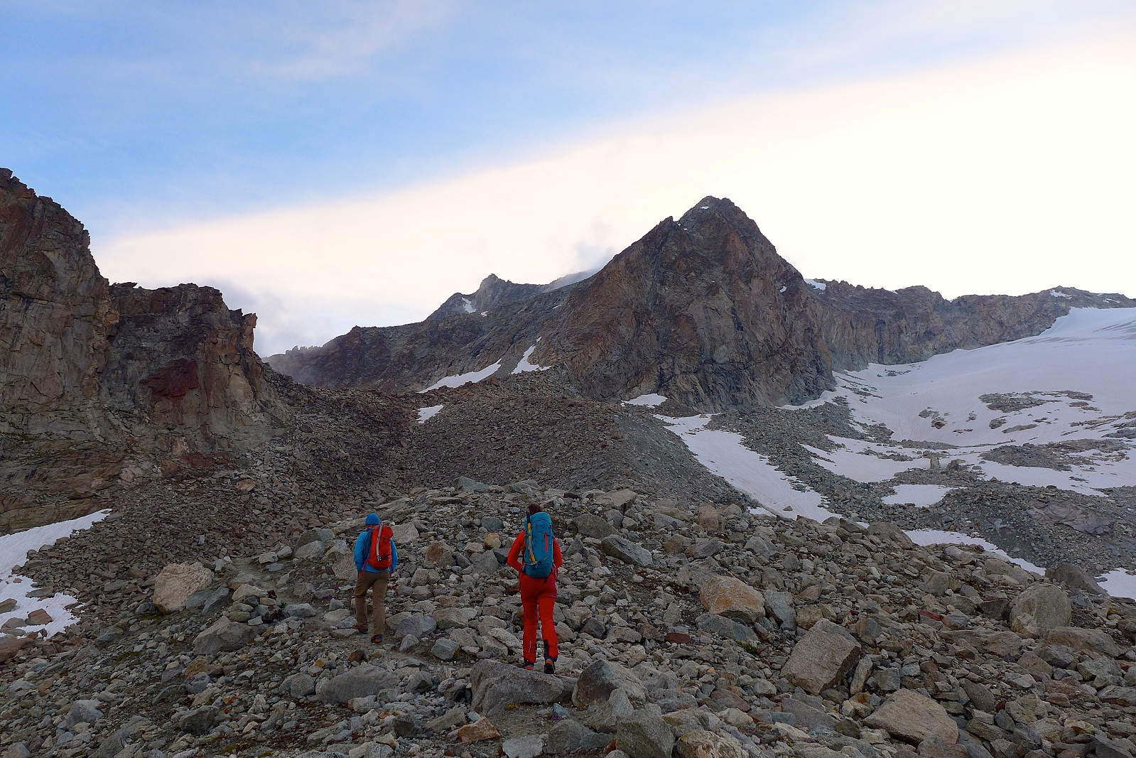
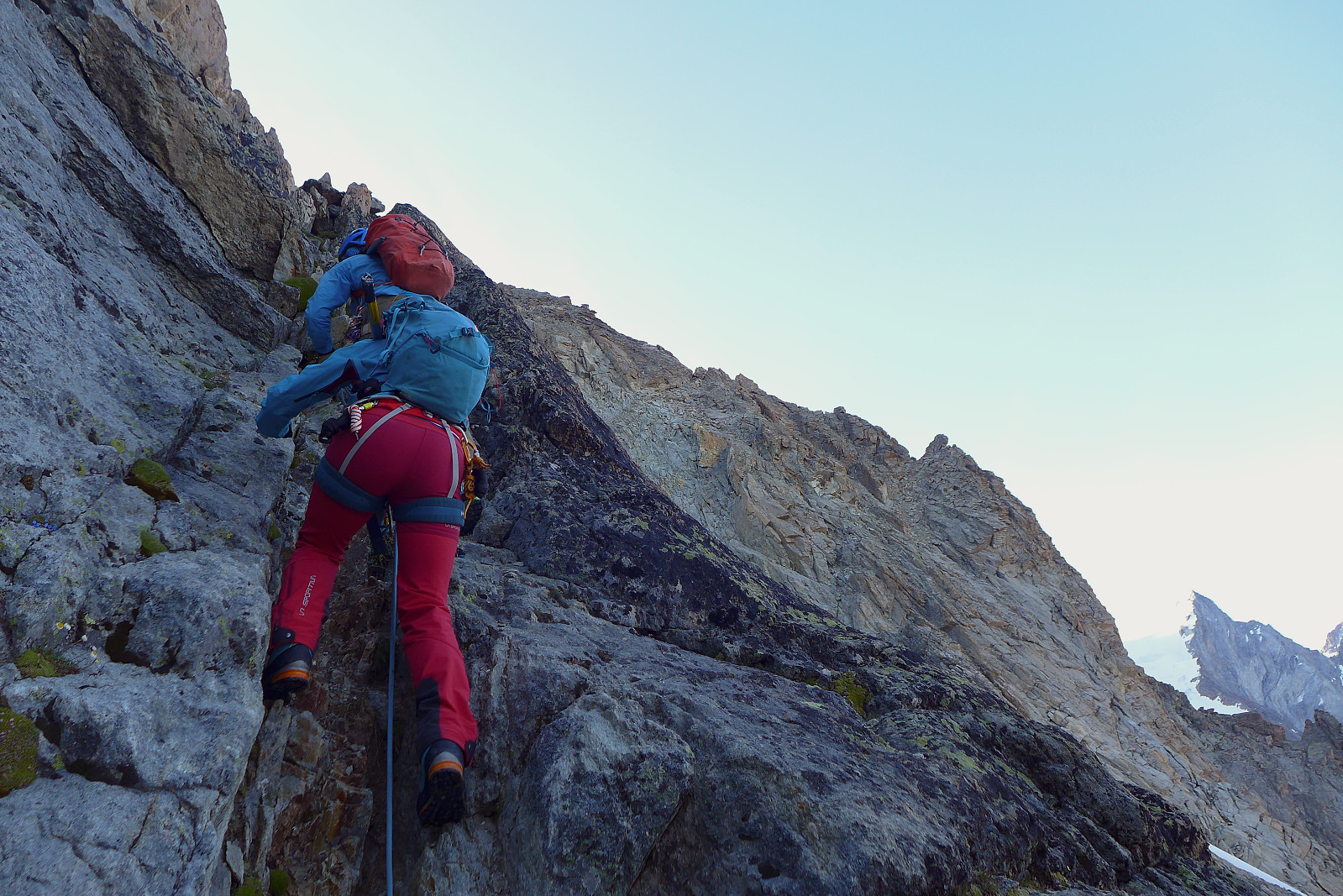
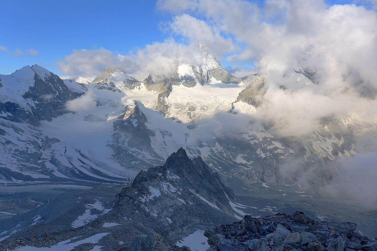
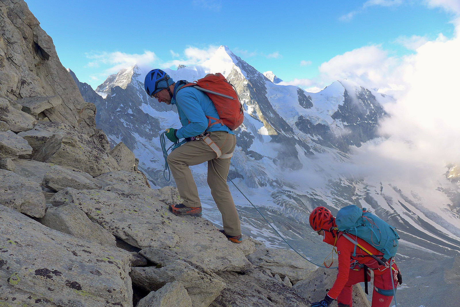
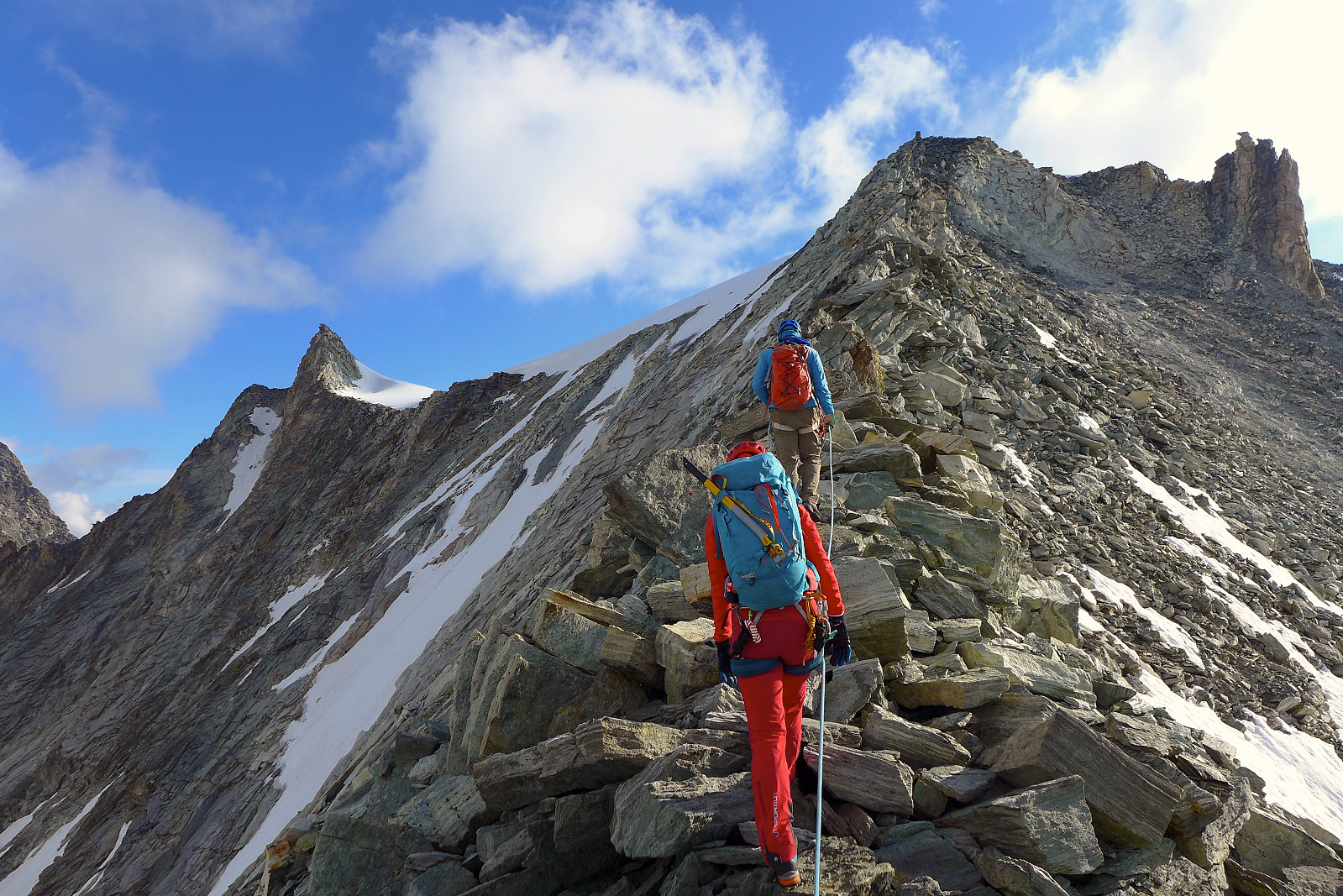
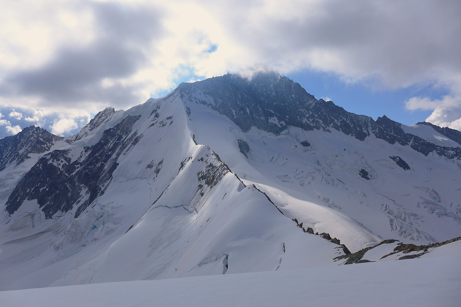
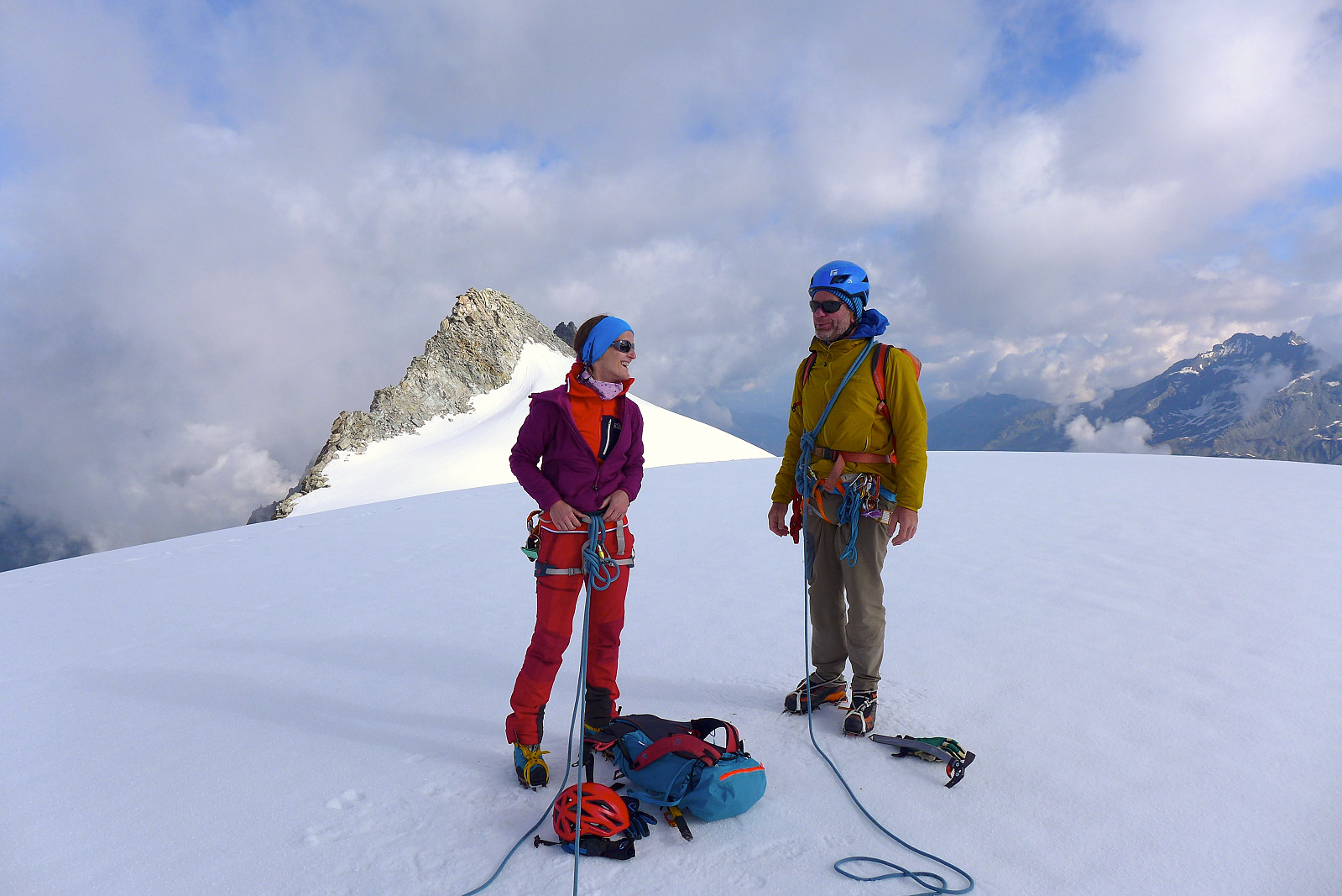
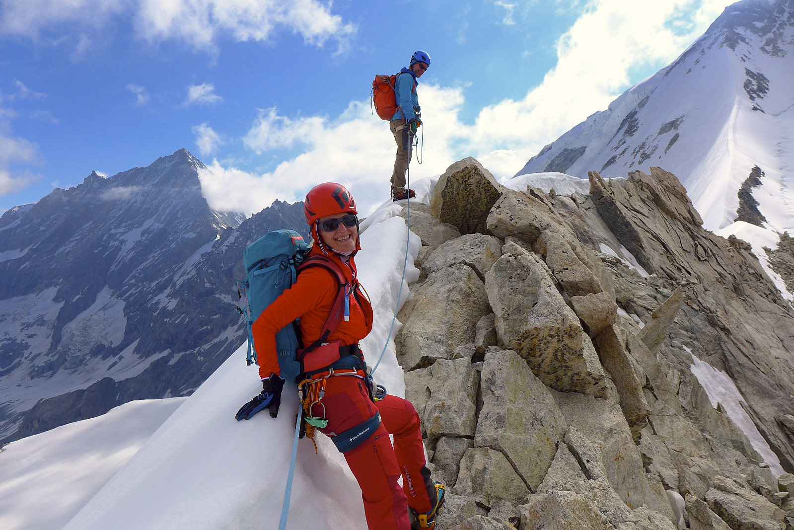
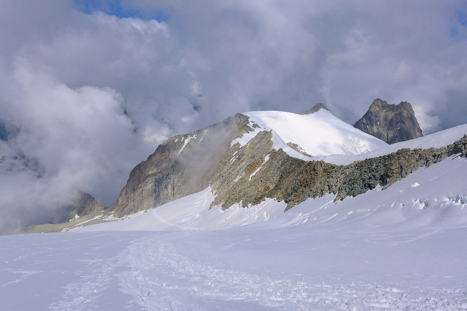
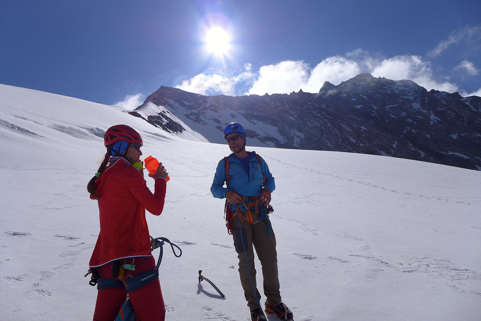
Blanc de Moming, another mid-3000er easily accessed from the Grand Mountet hut was decided to be the objective for our second day. Initially we had thought to have the Besso-Blanc de Moming traverse as an option, which I was more keen to do since it was more interesting, but since the weather forecast had changed a bit when we woke up, we decided to go conservative and choose the easier of the two in case we needed to make a rapid retreat. I’d had a better night’s sleep at least and we took breakfast a little later this morning, leaving the hut just before dawn. The southwest ridge of Blanc de Moming was to be our route up, and this was basically gained by following the same path up the moraine ridge behind the hut and following it up to the col we’d ended the Mammouth traverse at the previous afternoon. From there a short scramble across a boulder field brought us to the somewhat unexciting start of the ridge. The SW ridge is not exactly the most well-defined ridge in the world, and for the most part was done on loose-ish rock. The views were however very good – when the low level fog cleared enough to give us a brief glimpse of the mountains around! The final part of the ridge up to the Dome, a broad snowy plateau at the top, was probably the better part with more solid rock, but parts of it were a bit slippery where moisture from the morning fog had partly frozen on the surface. Anyway, the summit was totally clear and it was still only about 8am when we got there, so it was a nice start to the day at least. Clearly we’d been mis-lead by the weather forecast, since it was not nearly as bad as expected....
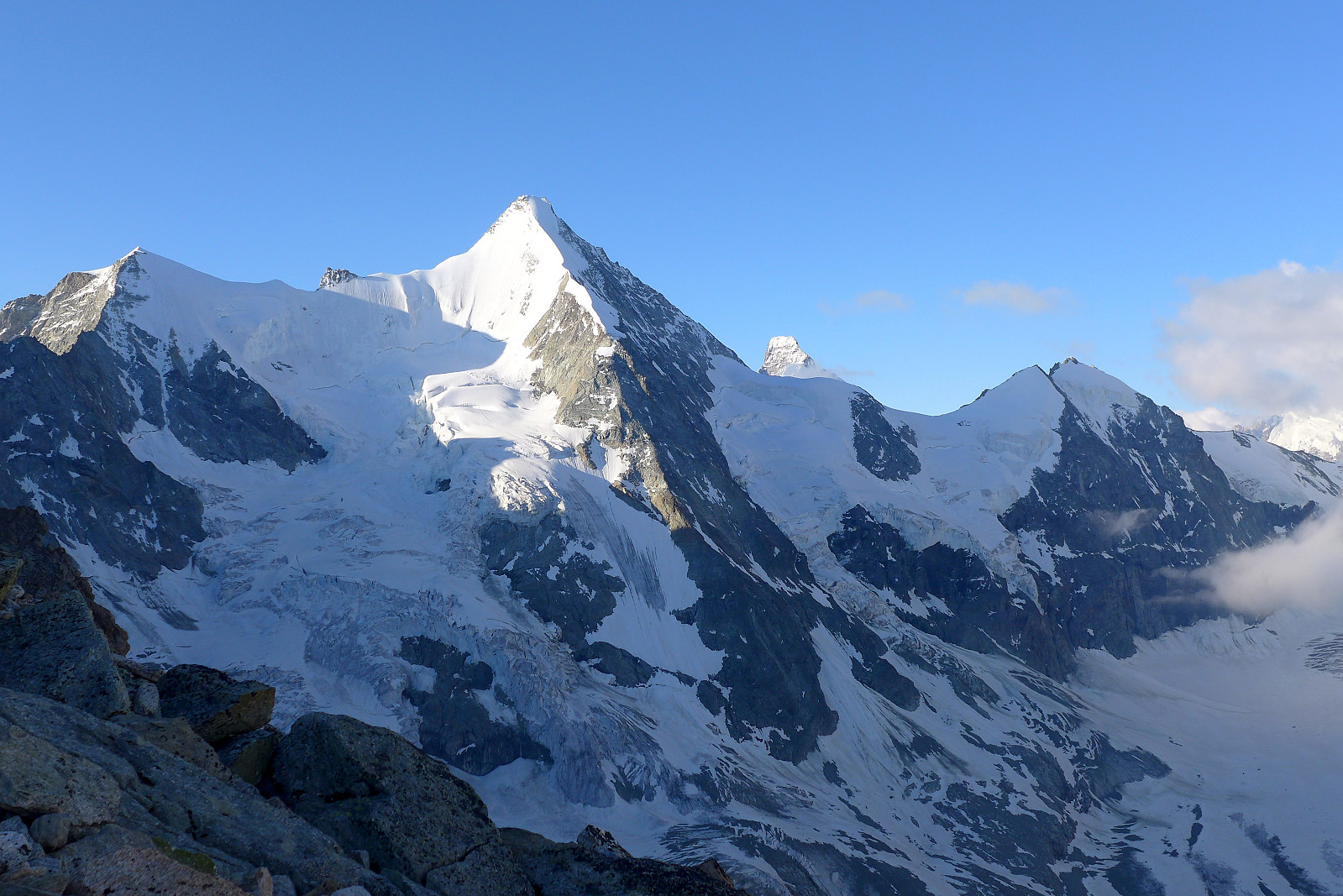
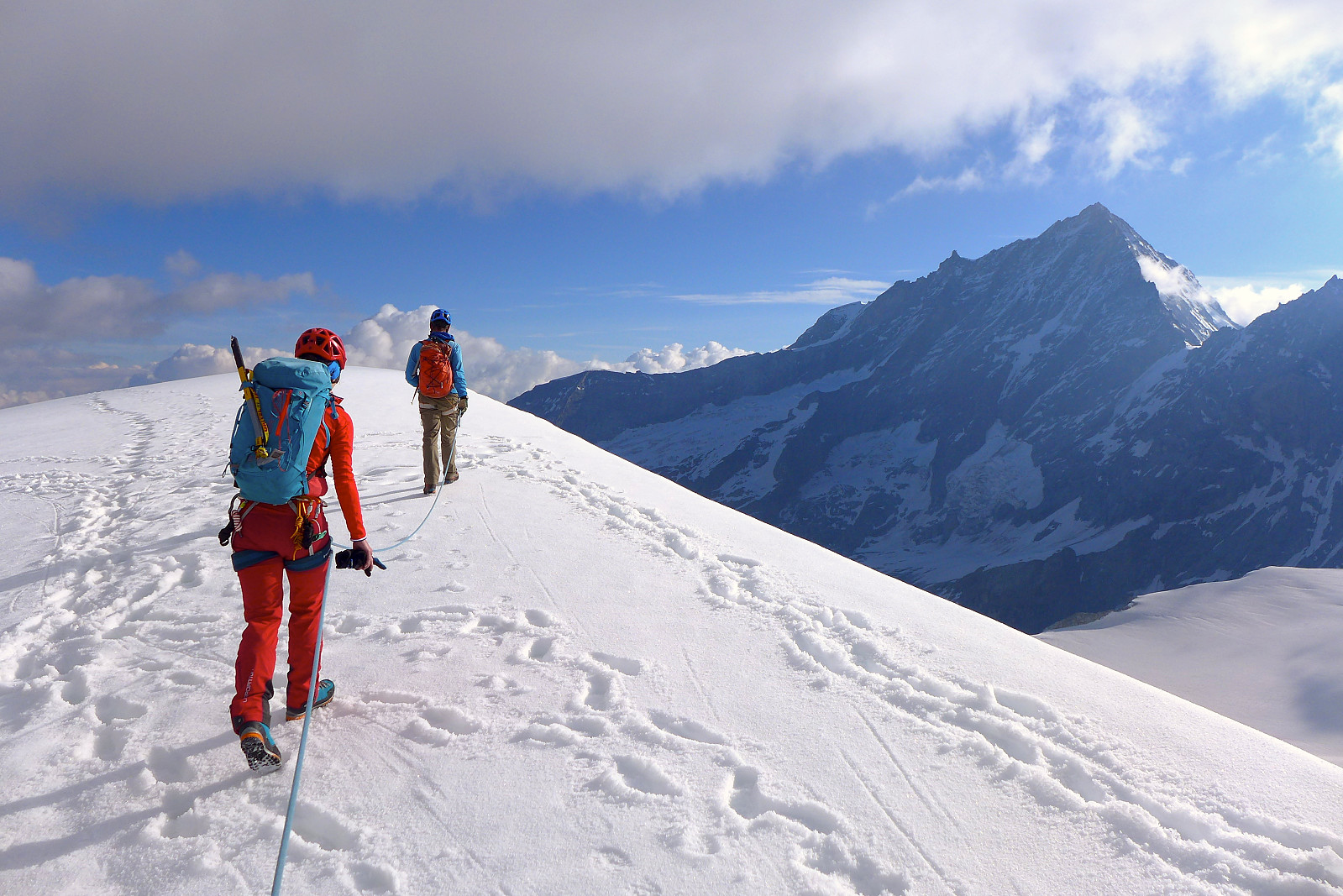
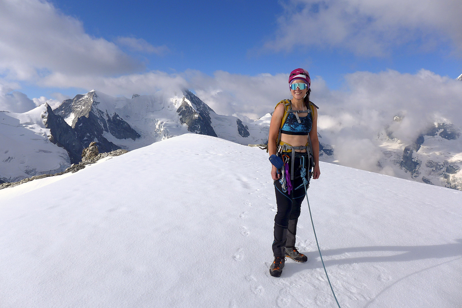
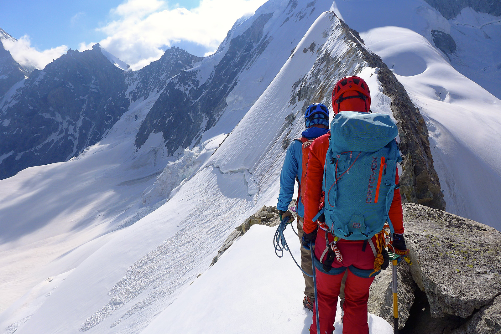
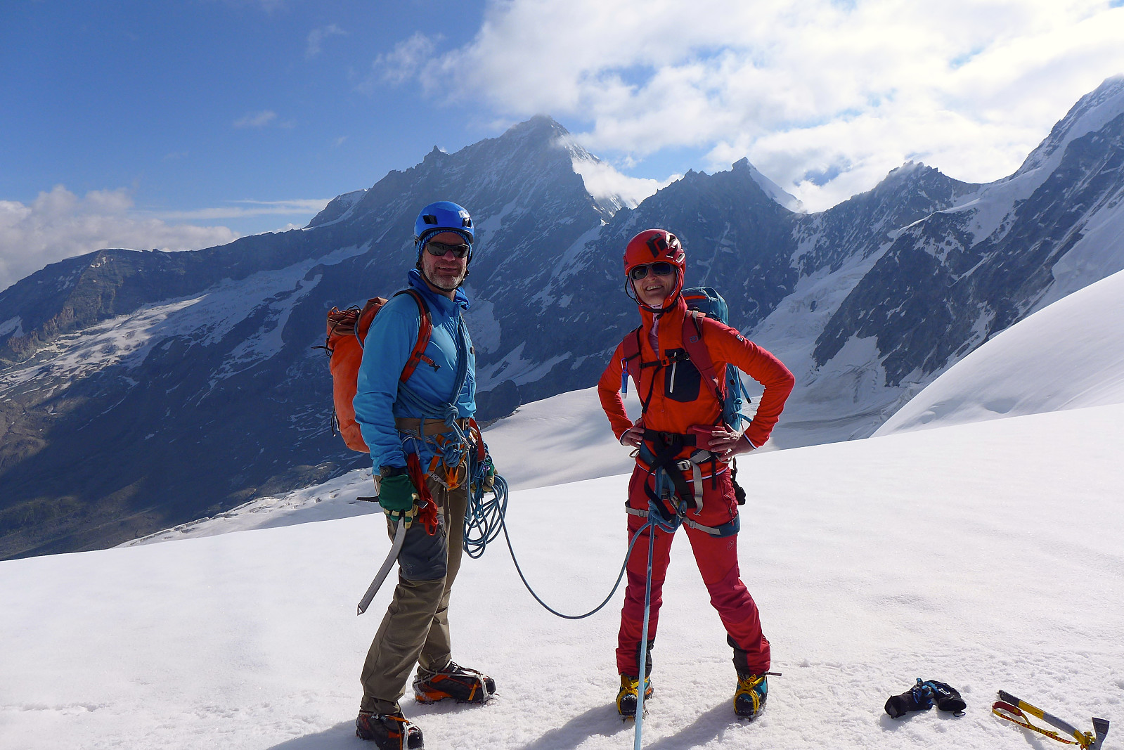
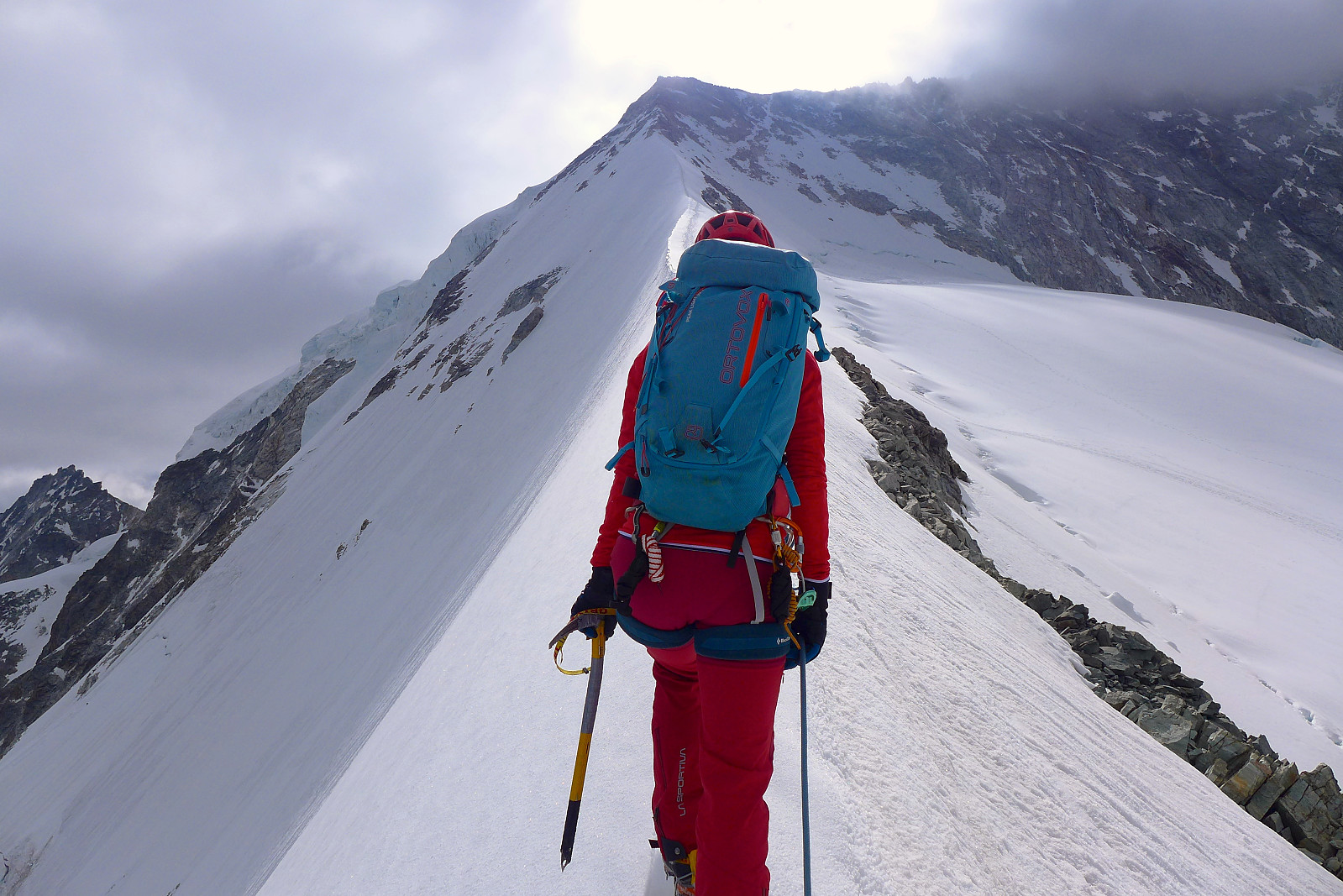
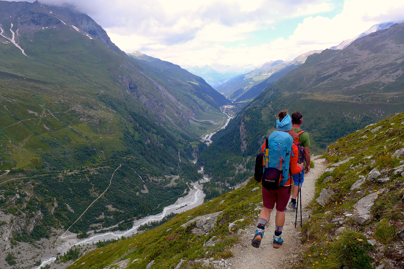
For a nice round trip we descended the east ridge and ascended partway up the Epaule du Zinalrothorn to join the track on the glacier leading up to the North ridge of the Zinalrothorn. It was a surprisingly fine ridge, mixed snow/rock in places and then eventually a narrow snow crest. A good variation compared to the loose rock of the SW ridge. The descent down the glacier was fairly swift since the snow was still firm, but softening quickly in the morning sun, and we were able to get quite far down before traversing across a loose boulder field to join the moraine ridge again. By now the sun was roasting hot and I was down to my sports bra for the rest of the walk back to the hut! Graham treated us to a round of chocolate cake and coffee, which tasted extremely good... and then we finished off packing up rucksacks for the walk back down to Zinal. It started off hot, but fortunately a blanket of clouds descended upon the valley not long after we left the hut, so the remainder of the 9km(ish?) walk back down to Zinal was actually very pleasant, even though it felt like we'd been walking forever by the time we actually got back to the car park. Great few days!
| Startzeitpunkt | 14.07.2020 05:40 (UTC+01:00 SZ) |
| Endzeitpunkt | 14.07.2020 11:12 (UTC+01:00 SZ) |
| Gesamtzeit | 5h 32min |
| Zeit in Bewegung | 4h 55min |
| Pausenzeit | 0h 37min |
| Gesamtschnitt | 1,4km/h |
| Bewegungsschnitt | 1,6km/h |
| Entfernung | 8,0km |
| Höhenmeter | 1.190m |


Benutzerkommentare