
Pointe de Tsalion (05.08.2018)

| Start point | Arolla |
|---|---|
| Characteristic | Alpine climbing |
| Duration | 11h 00min |
| Map |
|
| Ascents | Pointe de Tsalion (3,512m) | 05.08.2018 |
|---|
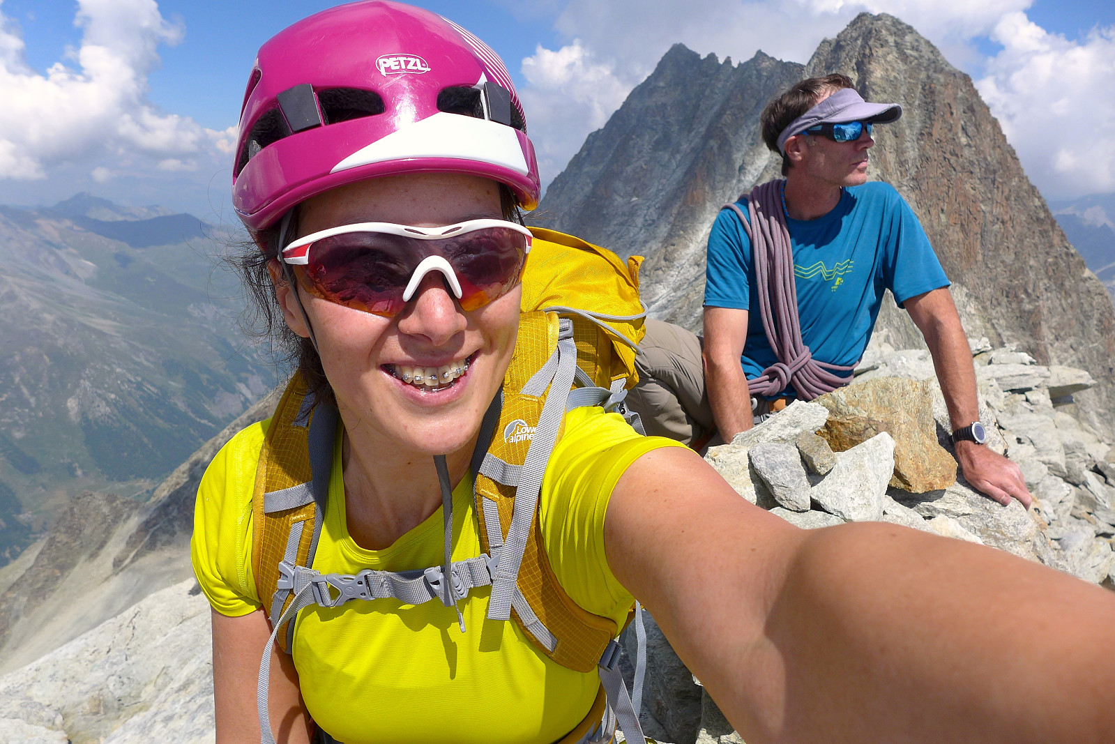
For the past 5 years I have tended to spend my annual summer holiday in the Alps climbing with a guide and in keeping with tradition I did the same this year with Evolene as the main base for 2 weeks. I’d been paired up with David for the first half of the week and British mountain guide Tim Neill. David’s climbing CV was probably at least 5 times longer than mine so it was going to prove a challenge to decide on climbing objectives to do which he hadn’t already done! With somewhat unstable weather forecasted for the week we ended up making the most of the good weather for our first day and headed off to Arolla at 6am to do a day trip up Pointe de Tsalion and climb the route Voie de la Cabane (D-), which basically follows a not-so-prominent spine that goes up the west side of the mountain. A good choice for staying out of the sun for as much of the day as possible! The car park was at around 1900m and the summit at 3512m so it was going to be a fairly long day – hence the early start. Fortunately the walk-in consists of a nice mountain path that leads up to the Cabane de la Tsa at 2600m which takes about 1.5 hours in a gentle pace and carrying a decent sized rucksack. It was already around 15 degrees when we left Arolla so definitely shorts-and-t-shirt weather.
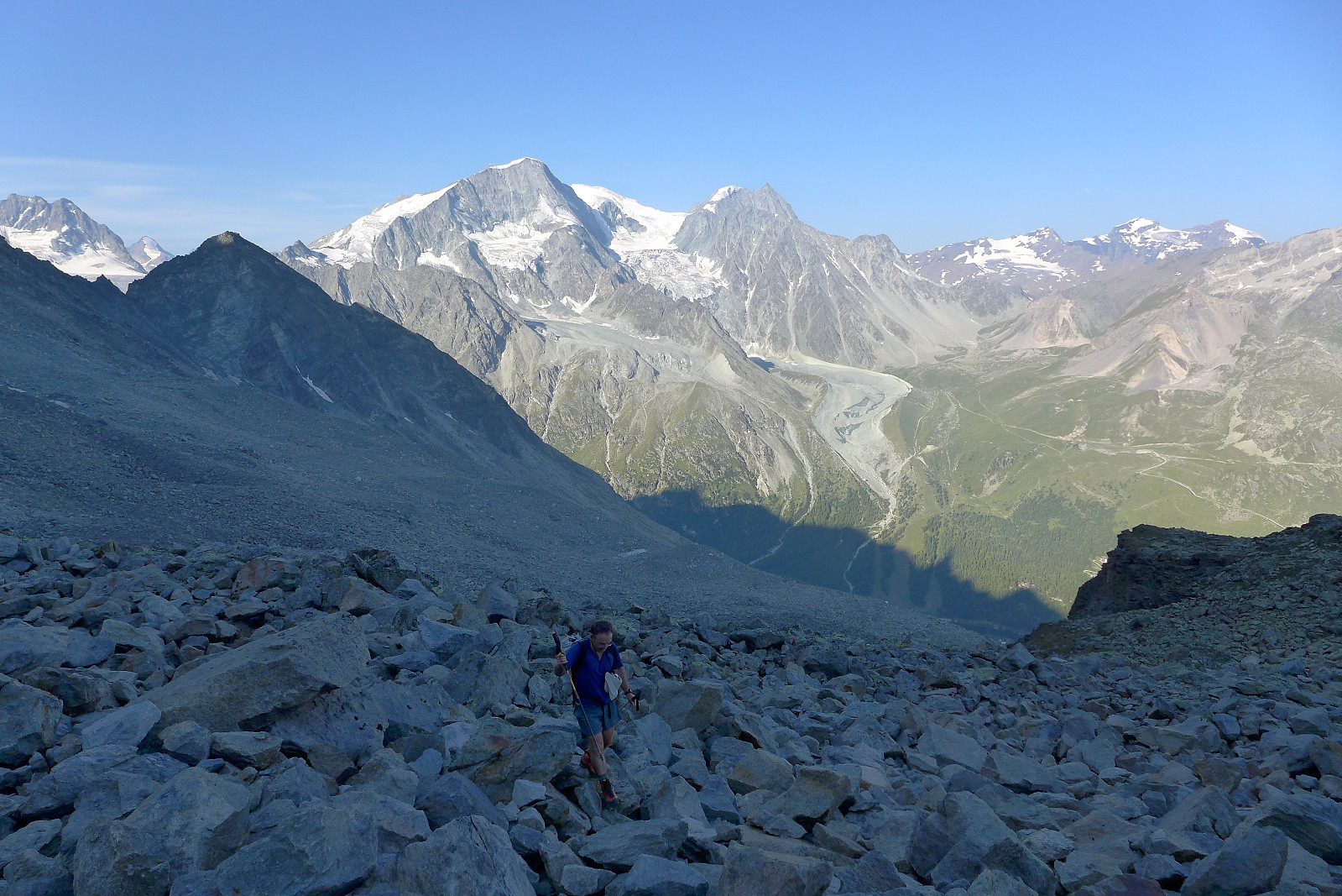
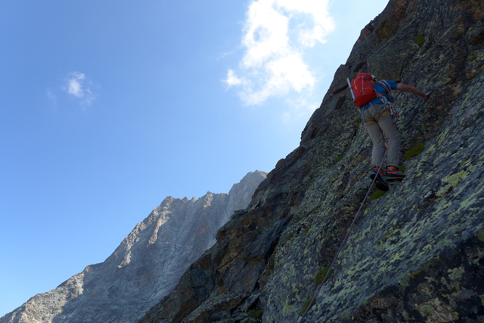
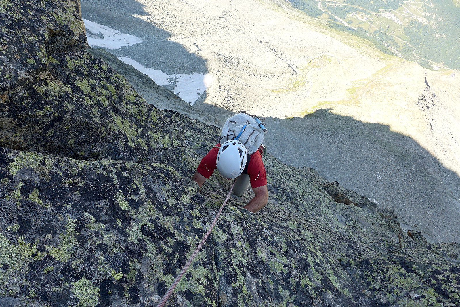
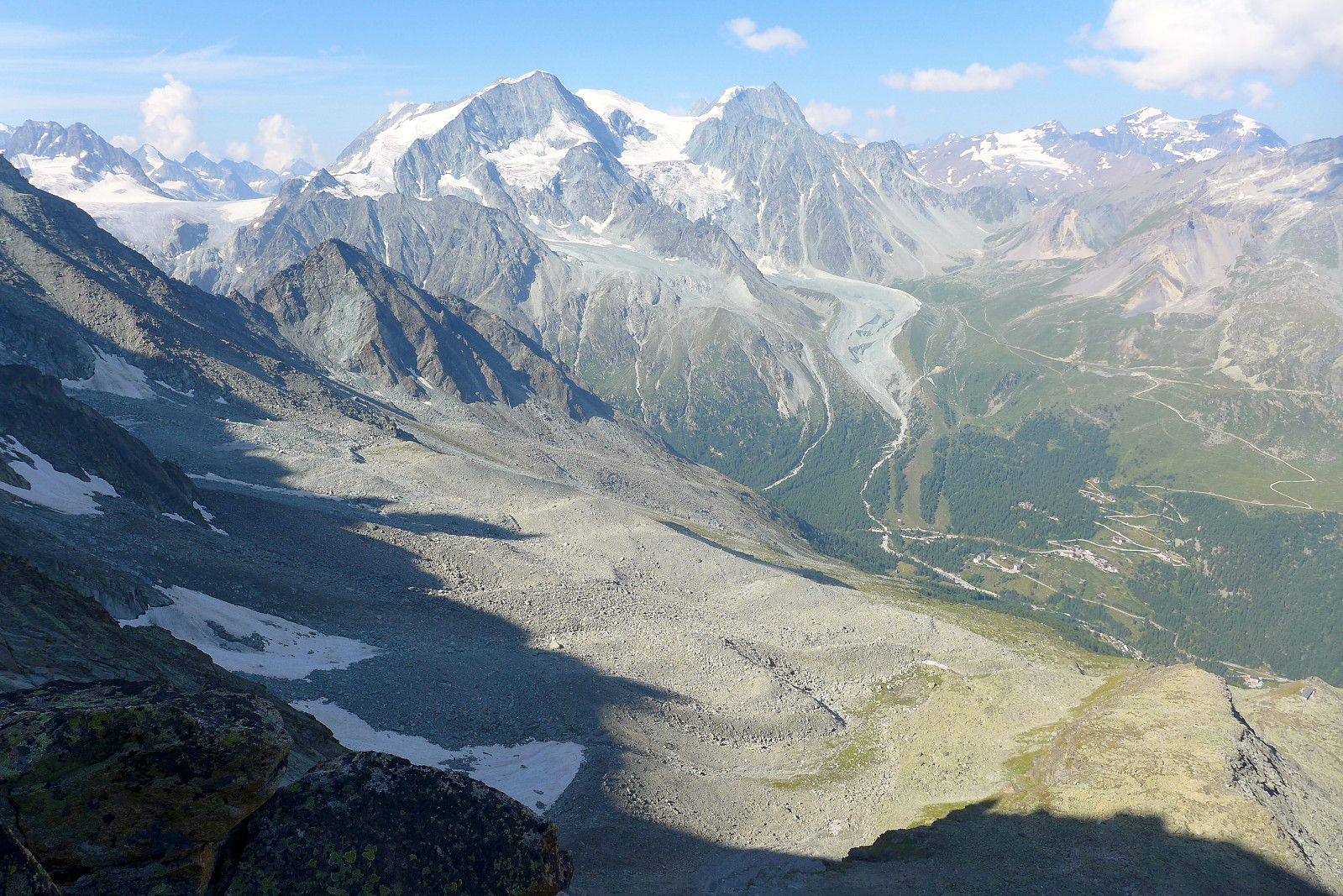
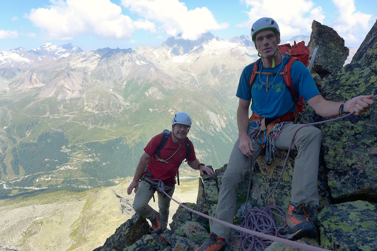
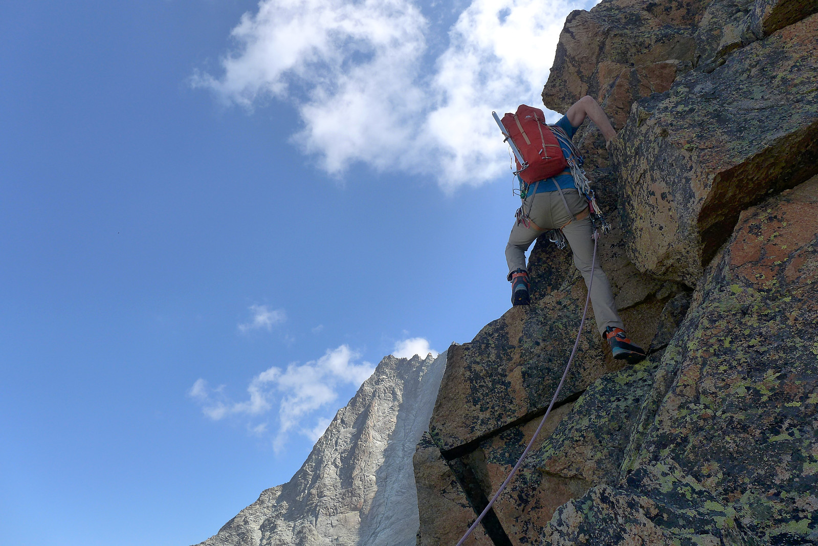
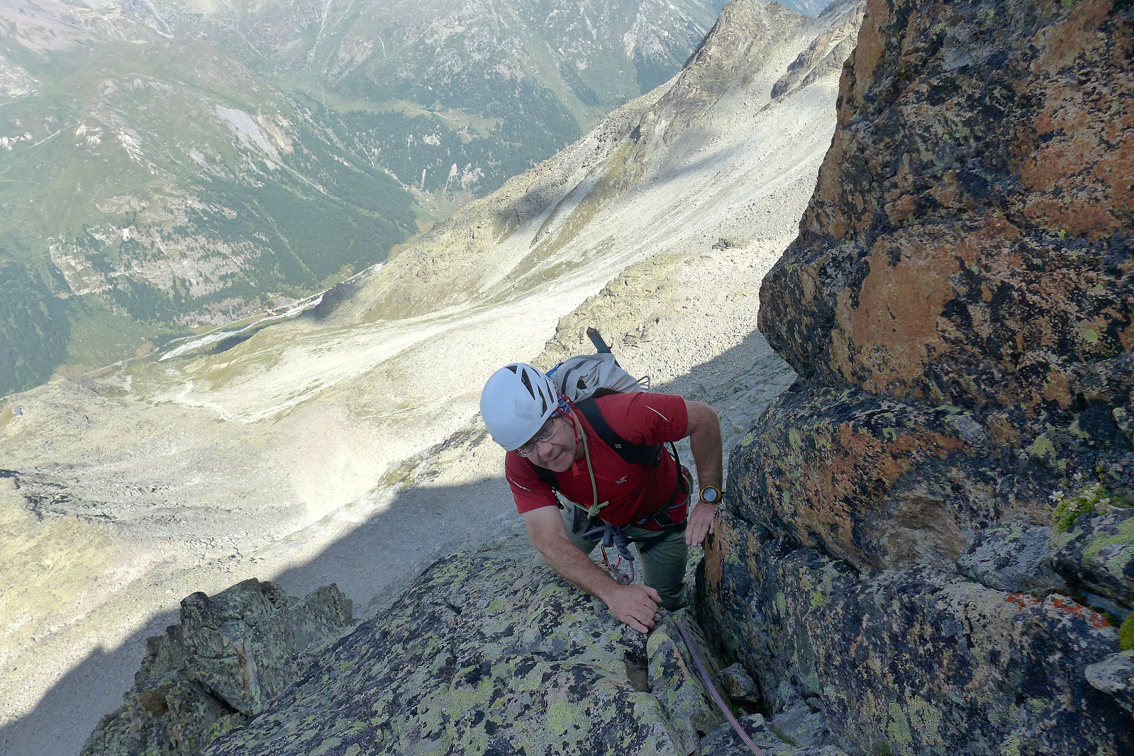
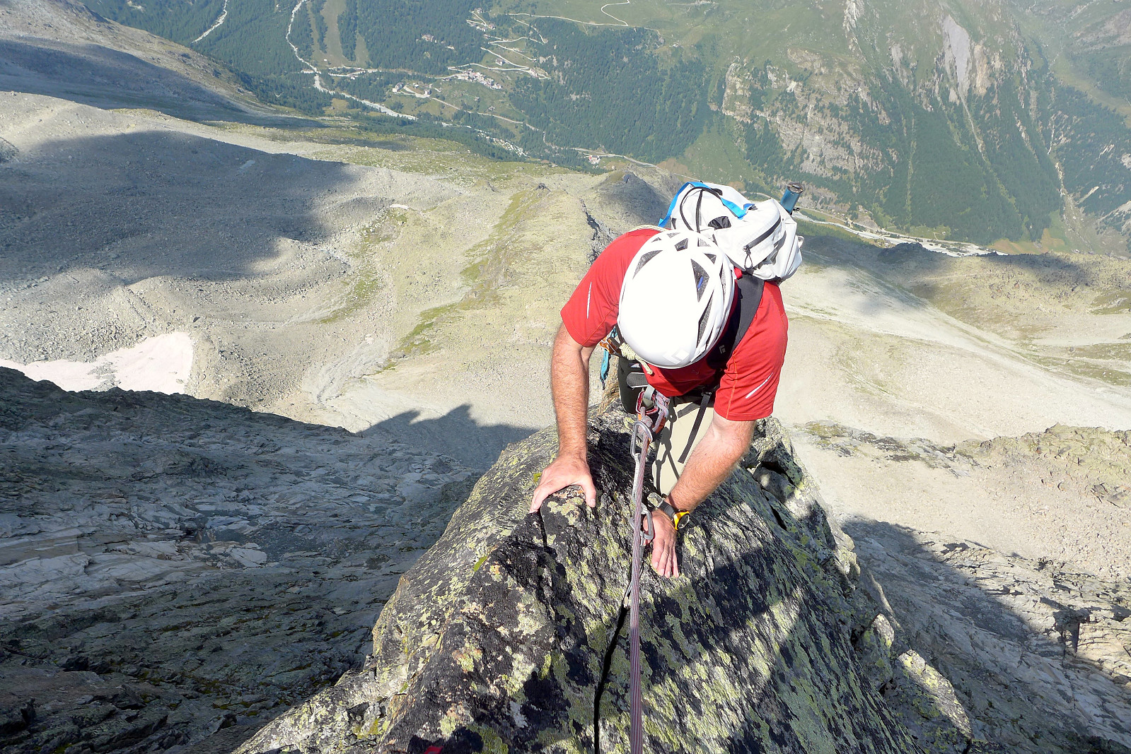
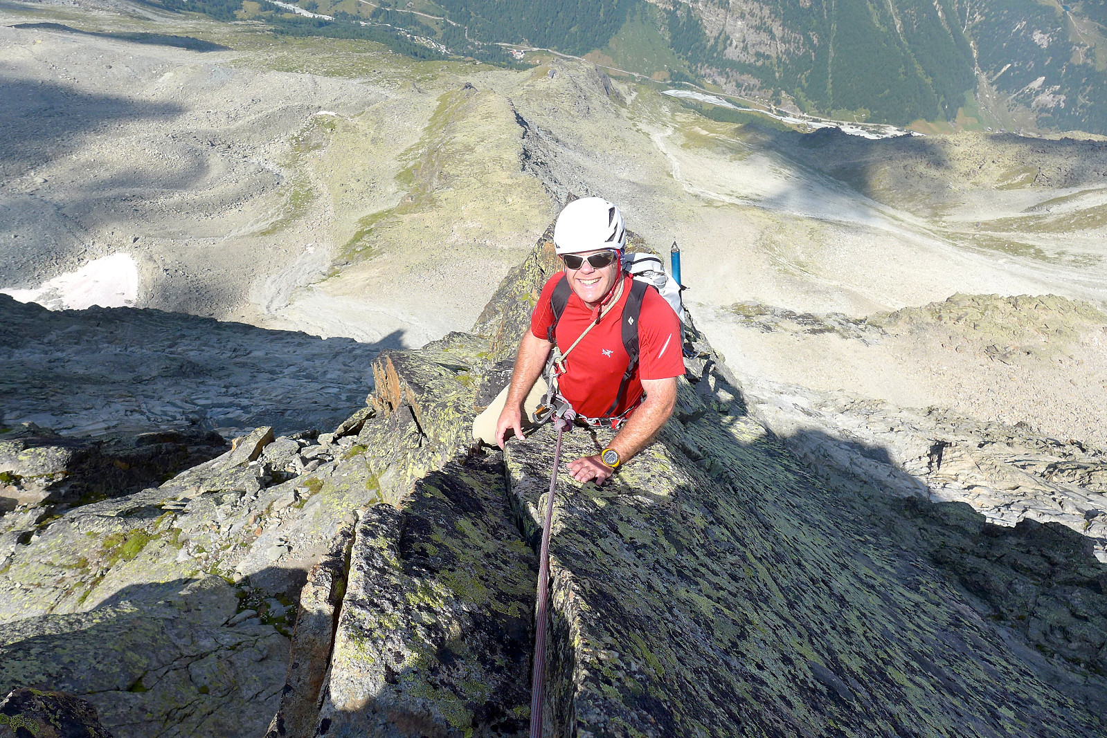
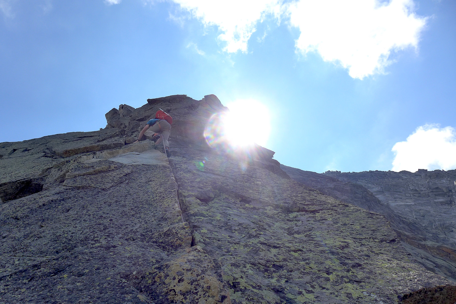
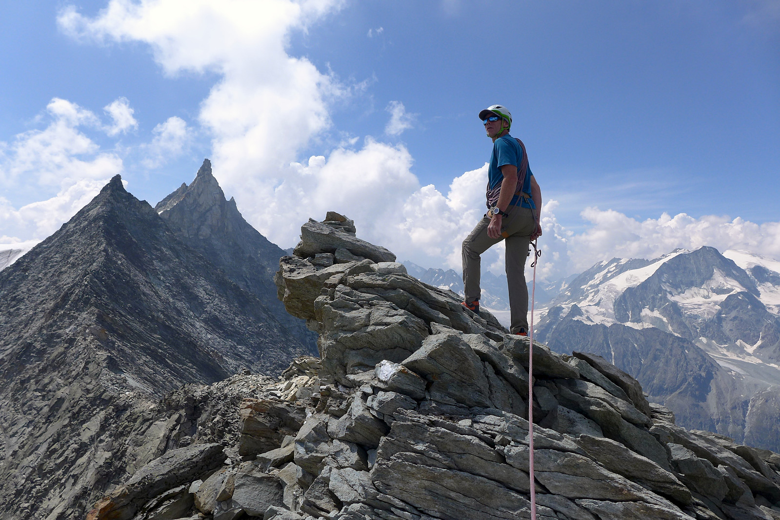
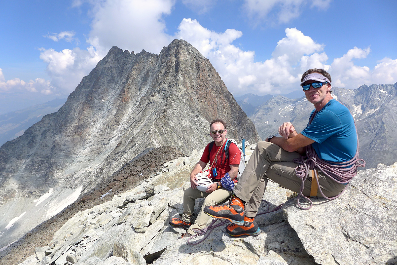
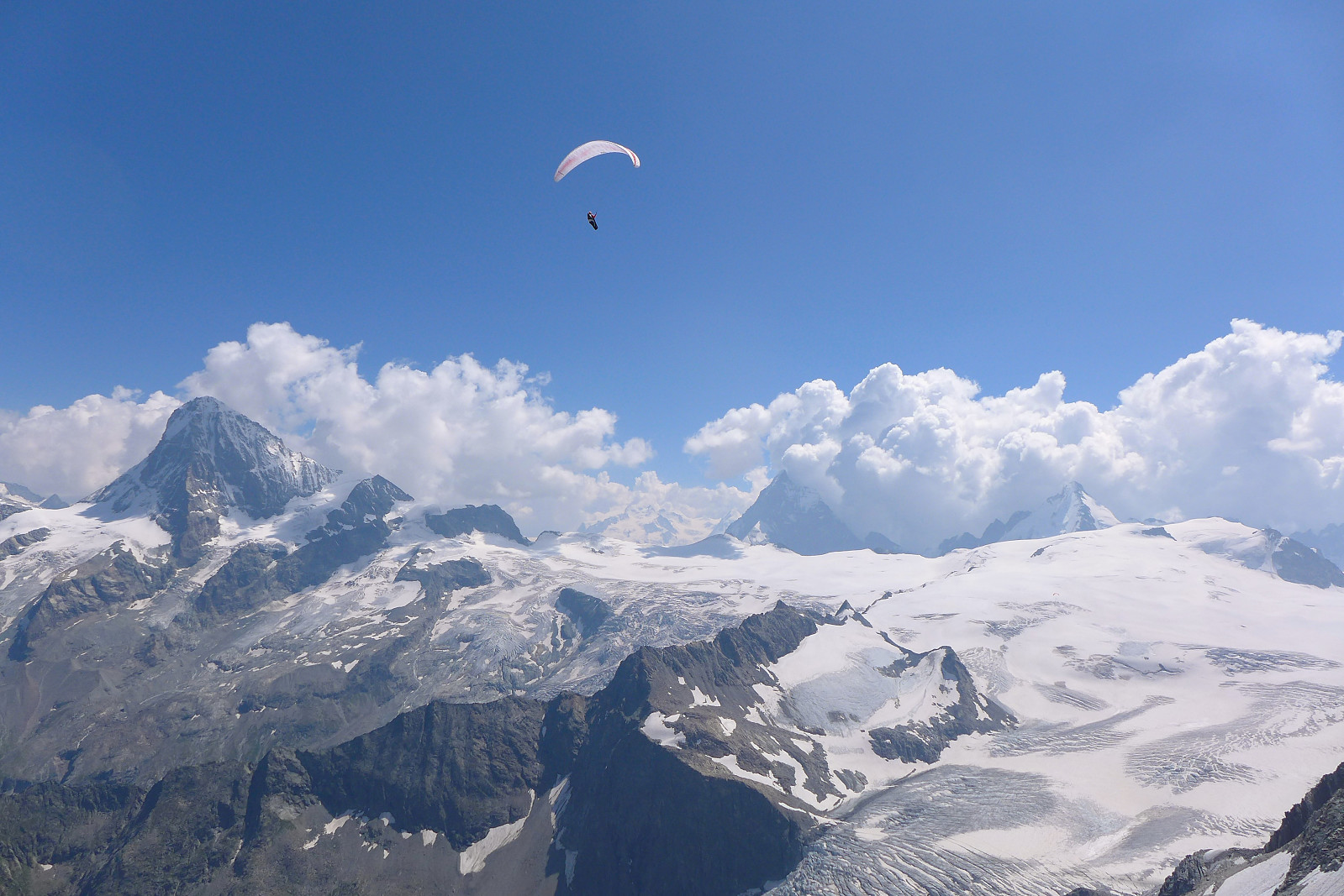
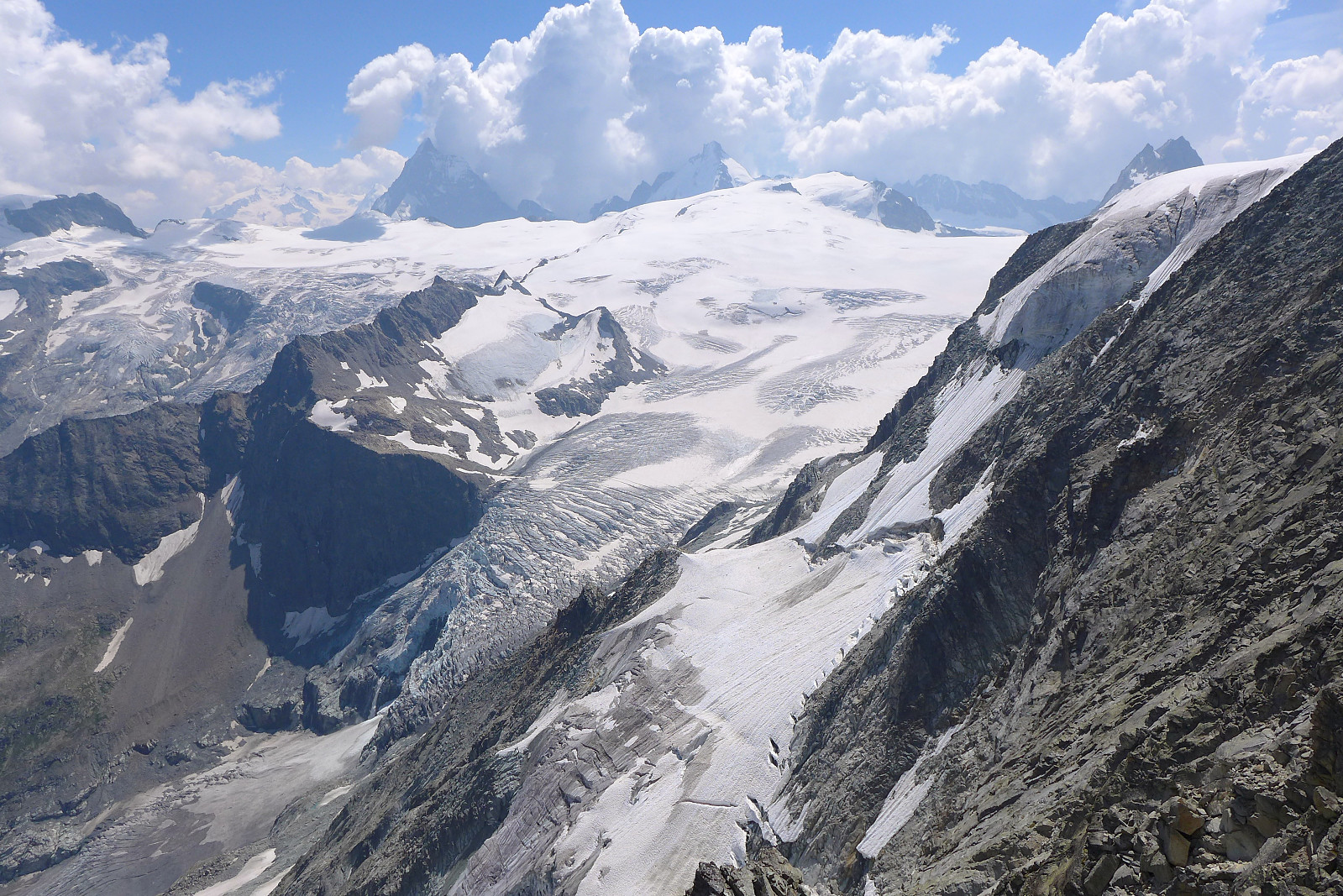
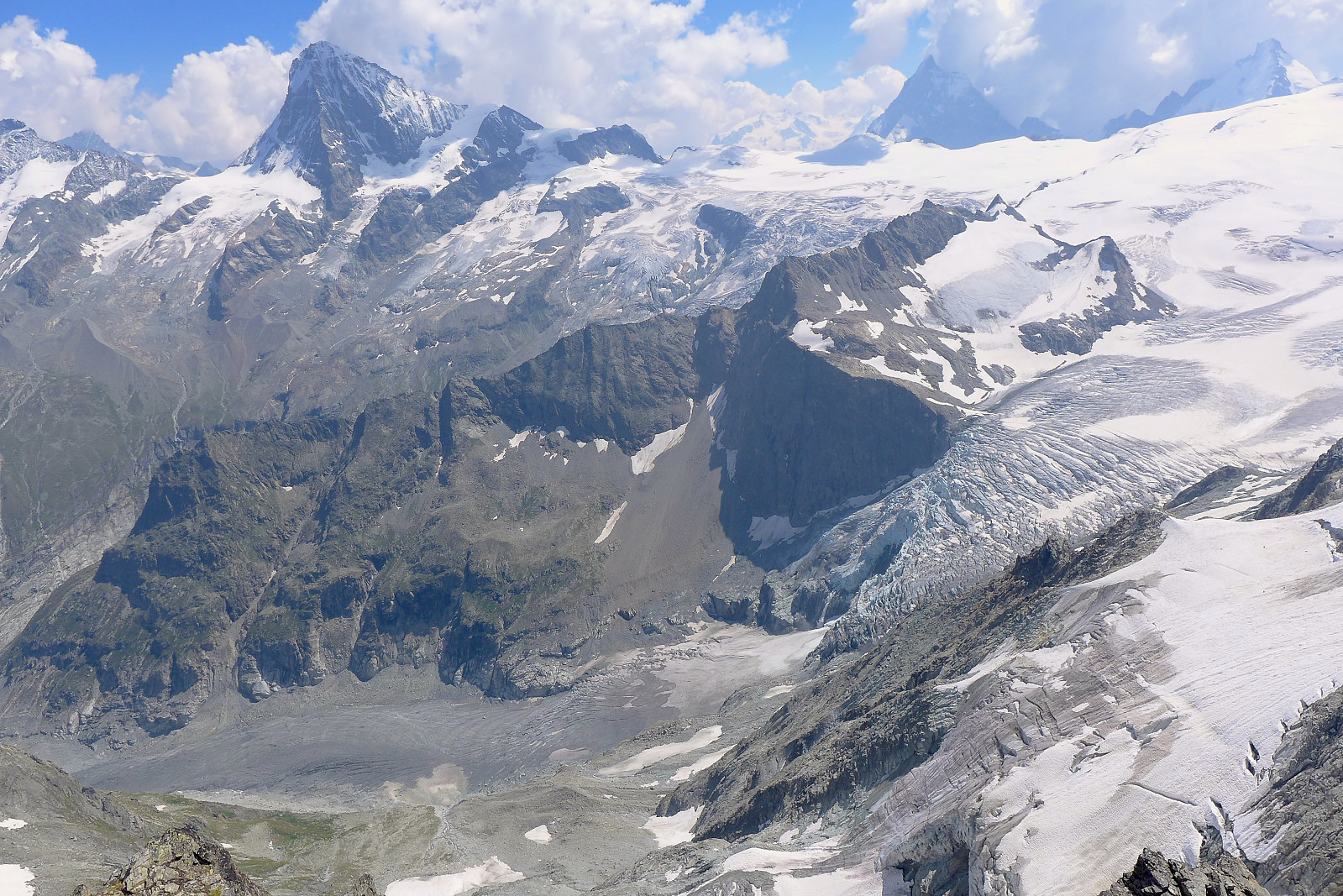
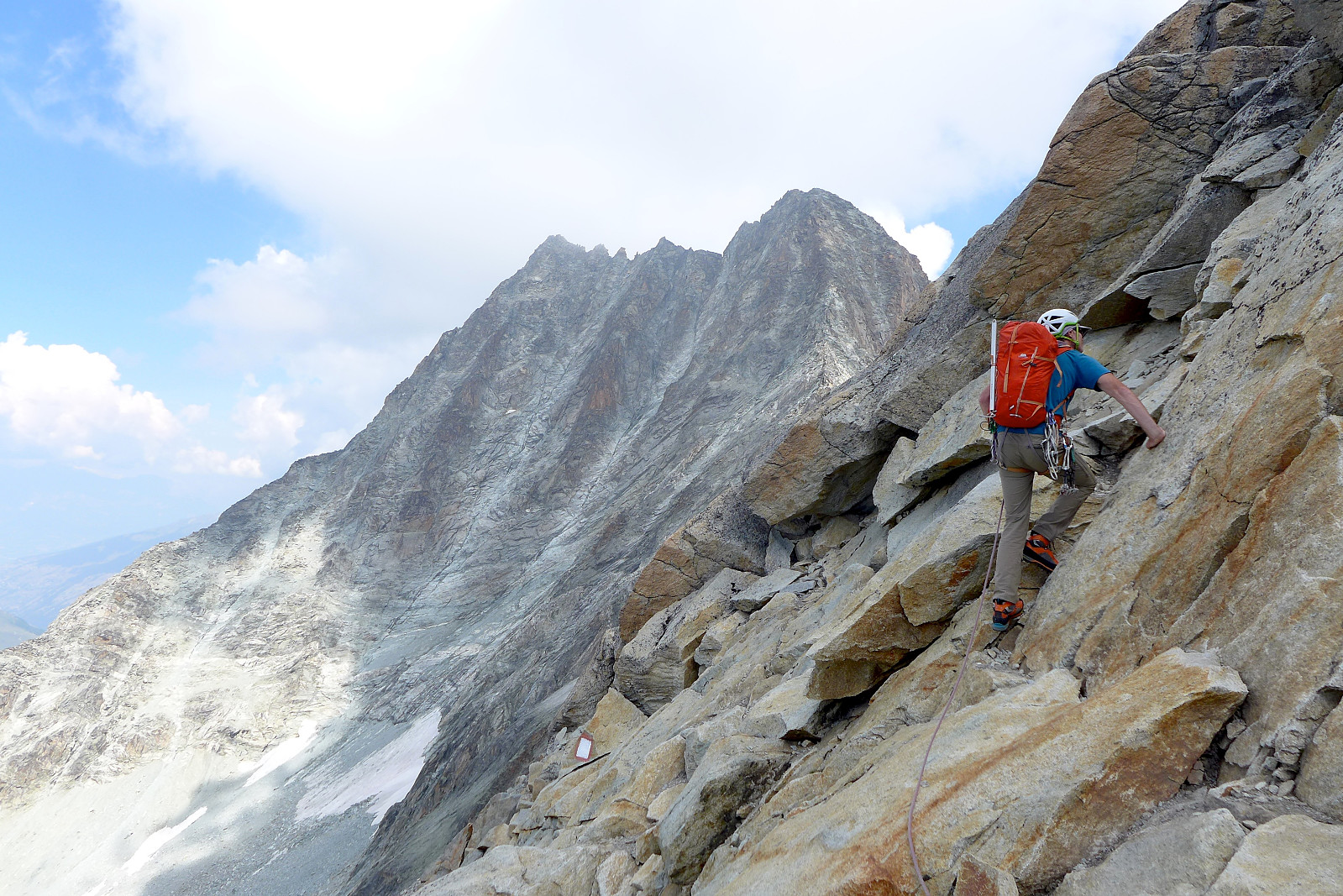
From just before Cabane de la Tsa we took a short break to drink before continuing up a sort of boulder field, across a flat grassy river valley and finally across more scree and boulders towards the foot of the ridge. There were traces of path here and there but otherwise it was a matter of reading the terrain and trying to find the most pleasant approach possible. Most of the lower part of the ridge is straightforward scrambling terrain but covered by gravel in many places, so many of the foot placements felt loose even though they weren’t. As the ridge narrowed the climbing was more enjoyable, the rock was solid and the gravel/sand disappeared. Most of the climbing consisted of many pitches of slabs, cracks and solid, knife-edge ridge with good views across to Pigne d’Arolla and the Aiguilles Rouges d’Arolla behind us, the majority graded at III with passages of up to IV . A couple of hours later and with the main part of the ridge finished, there was just a bit more loose bouldery terrain to cross to get up to the summit of Pointe de Tsalion. And here the views on the other side were pretty spectacular, with big peaks such as the Dent Blanche, Dent d’Herens and Matterhorn in sight. Further down the ridge to the south we could look across to the more pointy summits of Dent de Tsalion and Aiguille de la Tsa (both of which I’d been on in 2016) and to the north were the elegant summits of Pointe de Genevois and Dent de Perroc. I think Pointe de Tsalion is an excellent viewpoint, even if the mountain itself was not particularly interesting to look at!

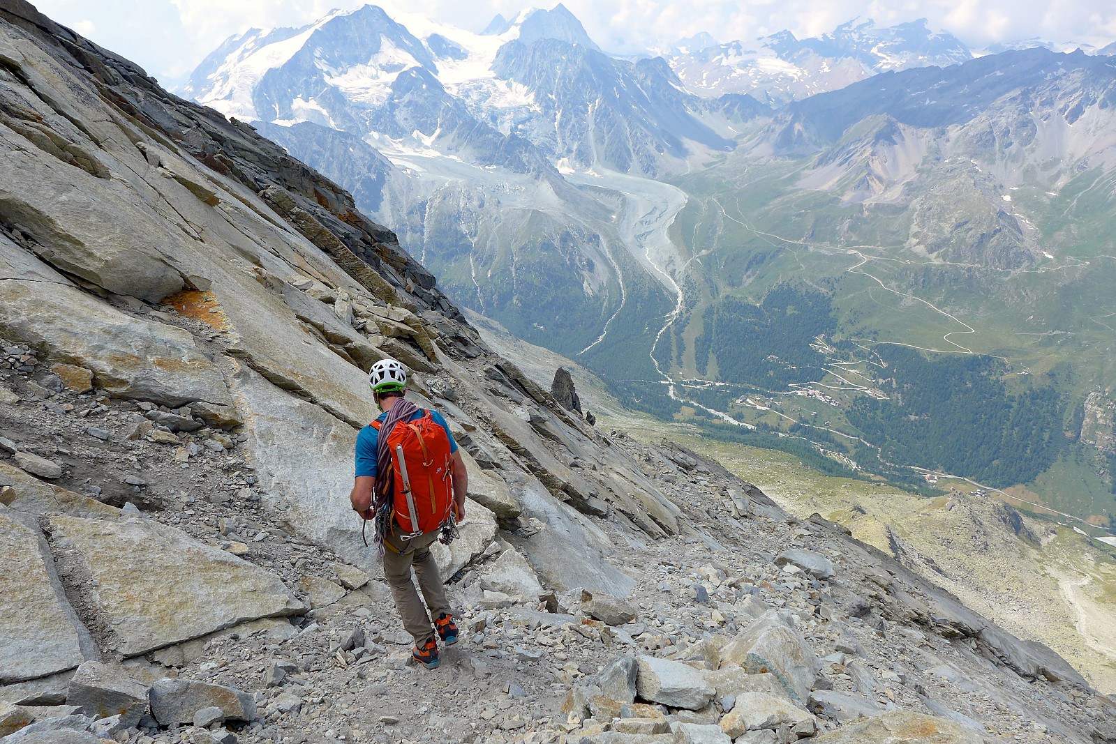
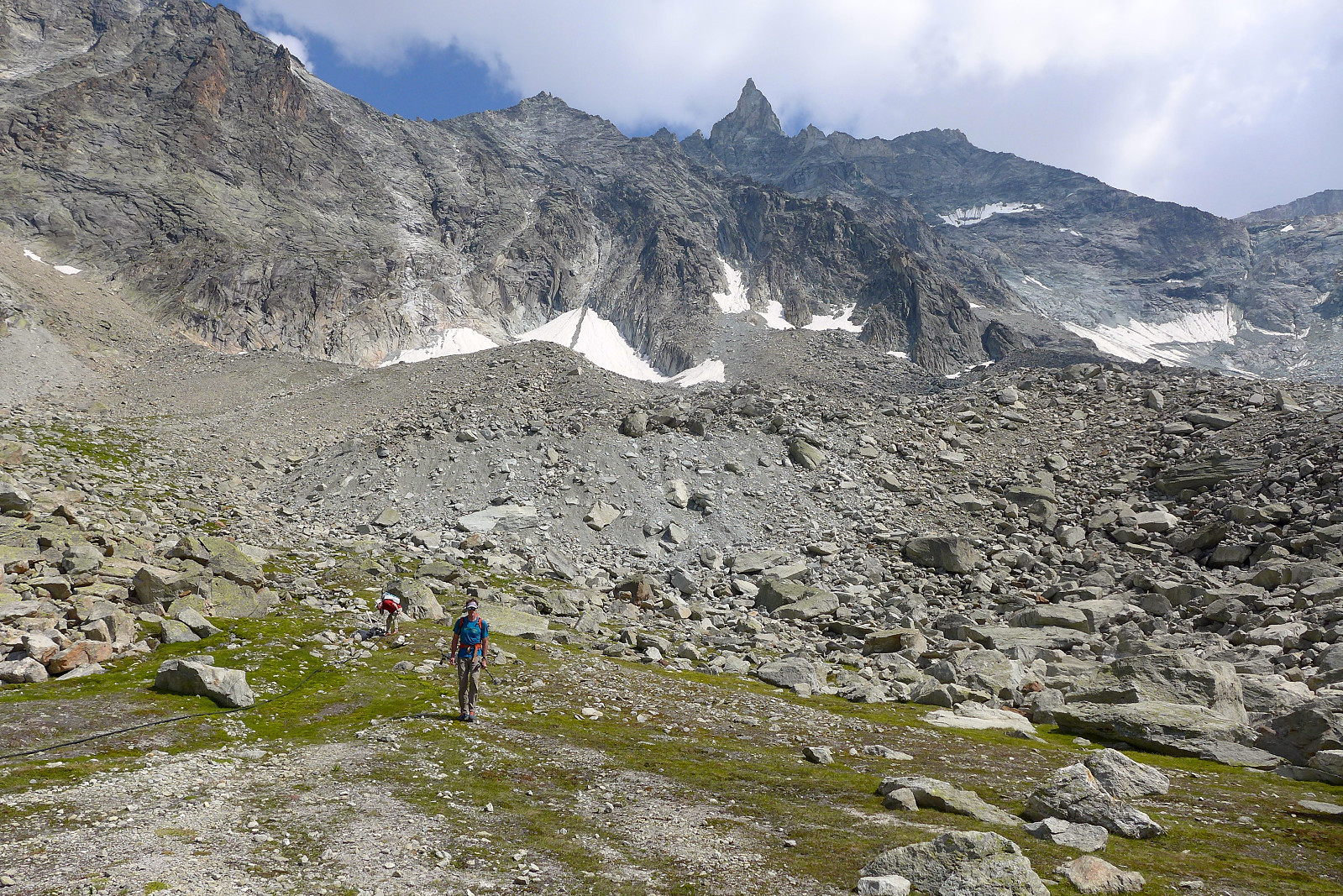
The descent followed a marked climbers trail, also characterised by a lot of loose rock (or ”choss” as rubbish rock is usually referred to by English speaking climbers…), sometimes covered in a bit of gravel, sometimes not, followed by more boulder fields to get back down to the grassy flat area which we’d walked past earlier in the day and the last boulder field just above the Cabane de la Tsa. I was out of water by the time we’d reached the flat grassy spot so I took the opportunity to fill up from the stream, which seems to be OK given that I didn’t suffer from any stomach problems afterwards! At the hut we took a half hour break to chill out and eat/drink/put on more sun cream before the final walk down to the car park. David was unfortunately suffering from some pain in his knees by this point so I think he appreciated a temporary rest here. The walk down from the hut to the car park seemed longer than expected but it was a nice walk in the late afternoon sunshine and not too hot. We were down by 5.30pm, so it had been around 11 hours altogether but in a very relaxed pace with plenty of breaks, so my legs weren’t actually feeling particularly tired by the time we were finished. I guess I would conclude that there were definitely nice parts to the climb, but I think it’s easily forgotten considering how much choss is encountered on the approach and the descent. At least the views from the summit were worth the effort :)


User comments