Arkiv - dato
Arkiv - aktivitet
-
Annen tur (3)
- Kajakkpadling (3)
- Fottur (1897)
-
Kjøretur (9)
- Biltur (9)
-
Skitur (116)
- Fjellskitur (69)
- Langrennstur (47)
-
Sykkeltur (111)
- Blandet sykling (25)
- Gatesykling (86)
Lister jeg samler etter
-
Utvalgte topper og turmål i Bergen
(349/351)
 99%
99% -
Alle topper i Bergen
(393/400)
98%
-
Voss ≥ 100m pf.
(96/98)
97%
-
Opptur Hordaland
(144/159)
90%
-
Stasjoner på Bergensbanen
(33/40)
82%
-
Ulvik ≥ 100m pf.
(30/38)
78%
-
Hordaland ≥ 100m pf.
(624/863)
72%
-
Mjølfjell PF > 100m
(21/31)
67%
-
Jondal ≥ 100m pf.
(15/23)
65%
-
Dagsturhyttene i Vestland
(36/61)
59%
-
Sunnhordland PF >= 100m
(105/186)
56%
-
Hordaland: Hardanger PF>=100m
(196/359)
54%
-
DNT-hytter i Hordaland
(23/45)
51%
-
Kvinnherad ≥ 100m pf.
(40/79)
50%
-
Eidfjord ≥ 100m pf.
(13/42)
30%
-
Sogndal ≥ 100m pf.
(23/81)
28%
-
Gulen ≥ 100m pf.
(15/54)
27%
-
Vik i Sogn ≥ 100m pf.
(10/46)
21%
-
Sogn - Sør for Sognefjorden PF>=100m
(31/159)
19%
-
DNT-hytter i Sogn og Fjordane
(8/47)
17%

Øksefjellet
- Dato:
- 30.11.2025
- Turtype:
- Fjelltur
- Turlengde:
- 0:45t
- Distanse:
- 1,7km
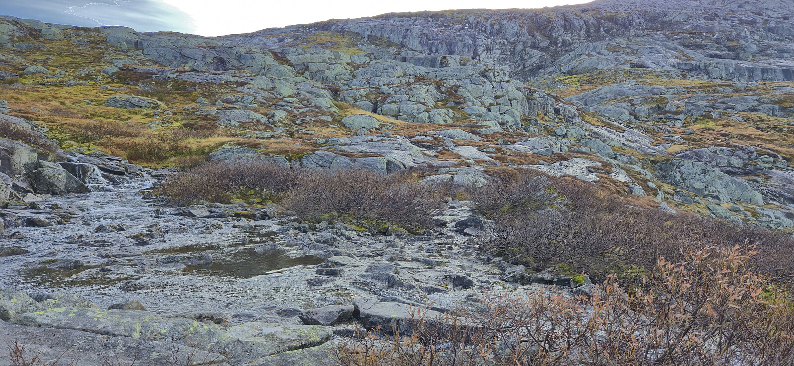
 After ascending Midtbøfjellet , we drove east where we easily located the marked trailhead for Øksefjellet . Finding a place to park required a bit more searching, but we managed to find a spot next to the road just north of the trailhead. The marked trail, although rather wet, could be followed with relative ease all the way to the summit cairn. With the rain now finally having caught up with us, we did not stay long before returning the same way and then continued south for the sixth ascent of the day, namely Orretuva .
Midtbøfjellet
- Dato:
- 30.11.2025
- Turtype:
- Fjelltur
- Turlengde:
- 0:31t
- Distanse:
- 1,4km
 With three peaks in the bag, the last being Lifjellet , we drove south to the small parking lot west of Midtbøfjellet and quickly completed the short ascent along a marked trail to the summit before returning the same way. Note that the information sign at the parking lot said that the hike would take 1.5 hours, however it only took us around 30 minutes.
We then left Sandøyna and drove east to Brandangervegen to ascend Øksefjellet .
With three peaks in the bag, the last being Lifjellet , we drove south to the small parking lot west of Midtbøfjellet and quickly completed the short ascent along a marked trail to the summit before returning the same way. Note that the information sign at the parking lot said that the hike would take 1.5 hours, however it only took us around 30 minutes.
We then left Sandøyna and drove east to Brandangervegen to ascend Øksefjellet .
Lifjellet
- Dato:
- 30.11.2025
- Turtype:
- Fjelltur
- Turlengde:
- 0:42t
- Distanse:
- 2,0km
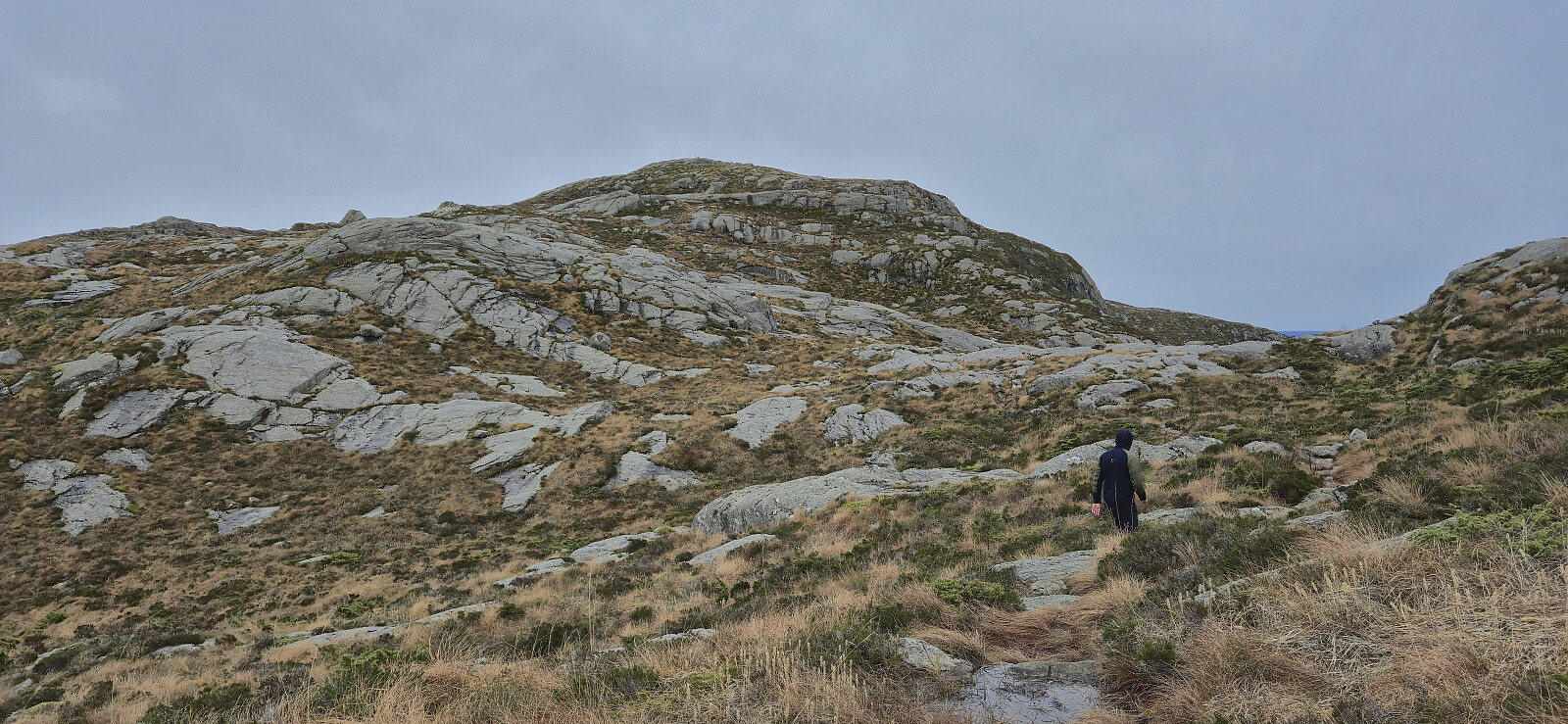
 Having successfully ascended Piltevarden , we drove the short distance east to Vassvikdalen. Here we easily found parking next to the road due to a longer section where the road had recently been made wider. As we did not know of any trails to Lifjellet , we simply headed off-trail in the direction of the summit, and besides the first section being a bit cumbersome we later arrived at the summit without any real challenges. The exact location of the highest point was not obvious but it had to be in the area near the large cairn, hence we just visited all of the most likely candidates.
During our ascent we had noticed a couple of small cairns north of where we ascended and perhaps some faint traces of a trail, but as there was no real difference we ended up following the same route as used for the ascent. It should however be noted that >>>
Having successfully ascended Piltevarden , we drove the short distance east to Vassvikdalen. Here we easily found parking next to the road due to a longer section where the road had recently been made wider. As we did not know of any trails to Lifjellet , we simply headed off-trail in the direction of the summit, and besides the first section being a bit cumbersome we later arrived at the summit without any real challenges. The exact location of the highest point was not obvious but it had to be in the area near the large cairn, hence we just visited all of the most likely candidates.
During our ascent we had noticed a couple of small cairns north of where we ascended and perhaps some faint traces of a trail, but as there was no real difference we ended up following the same route as used for the ascent. It should however be noted that >>>
Piltevarden roundtrip
- Dato:
- 30.11.2025
- Turtype:
- Fjelltur
- Turlengde:
- 1:10t
- Distanse:
- 4,3km
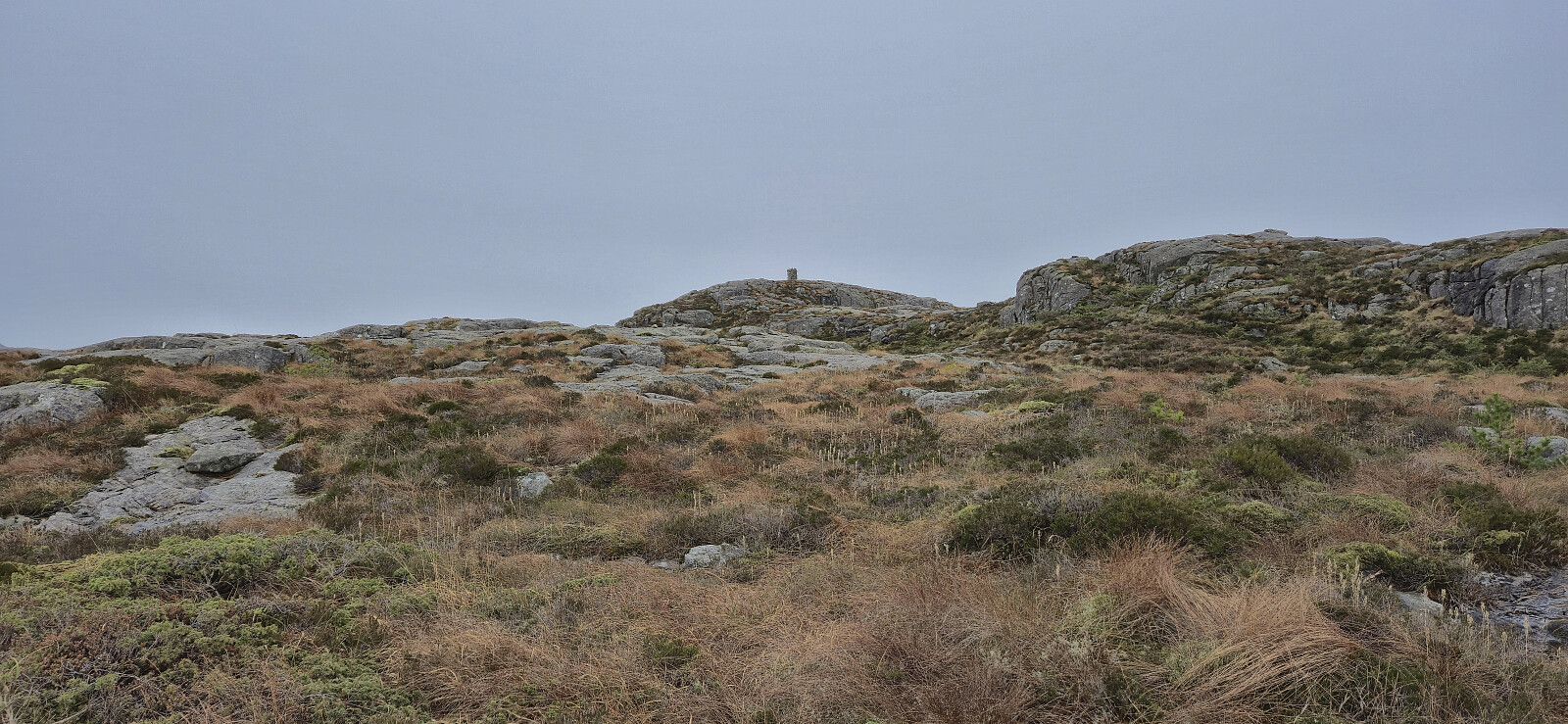
 After our ascent of Byrknesveten , we drove north to Mjømna where we found parking next to the Mjømna kyrkje to ascent Piltevarden . There was a sign saying that the parking lot was only for visitors of the church or the connected graveyard, but as we were not staying long and there were no other cars, we assumed it was still ok.
We had initially intended to follow the most direct route to the summit but ended up missing a fork in the marked trail early on and therefore decided to instead turn the hike into a short roundtrip. This would first take us north along the sea before later turning east and finally south to the summit, all the time along a marked trail.
From the summit we followed our intended ascent route taking us via a steep but unproblematic descent. We ended up losing the marked trail shortly after the steep descent >>>
After our ascent of Byrknesveten , we drove north to Mjømna where we found parking next to the Mjømna kyrkje to ascent Piltevarden . There was a sign saying that the parking lot was only for visitors of the church or the connected graveyard, but as we were not staying long and there were no other cars, we assumed it was still ok.
We had initially intended to follow the most direct route to the summit but ended up missing a fork in the marked trail early on and therefore decided to instead turn the hike into a short roundtrip. This would first take us north along the sea before later turning east and finally south to the summit, all the time along a marked trail.
From the summit we followed our intended ascent route taking us via a steep but unproblematic descent. We ended up losing the marked trail shortly after the steep descent >>>
Byrknesveten
- Dato:
- 30.11.2025
- Turtype:
- Fjelltur
- Turlengde:
- 0:48t
- Distanse:
- 2,9km
 When our original plan to go skiing at Vikafjellet had to be cancelled due to bad weather, and the same happened to our backup plan to go hiking to peaks in Omvikdalen/Myklebustdalen south of Rosendal, Endre and I settled on plan C which included driving north to Gulen in an attempt to escape the heavy rain/snow showers further south and east.
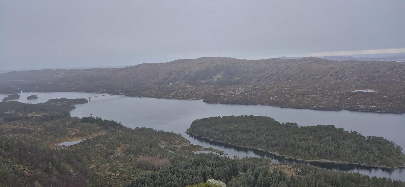
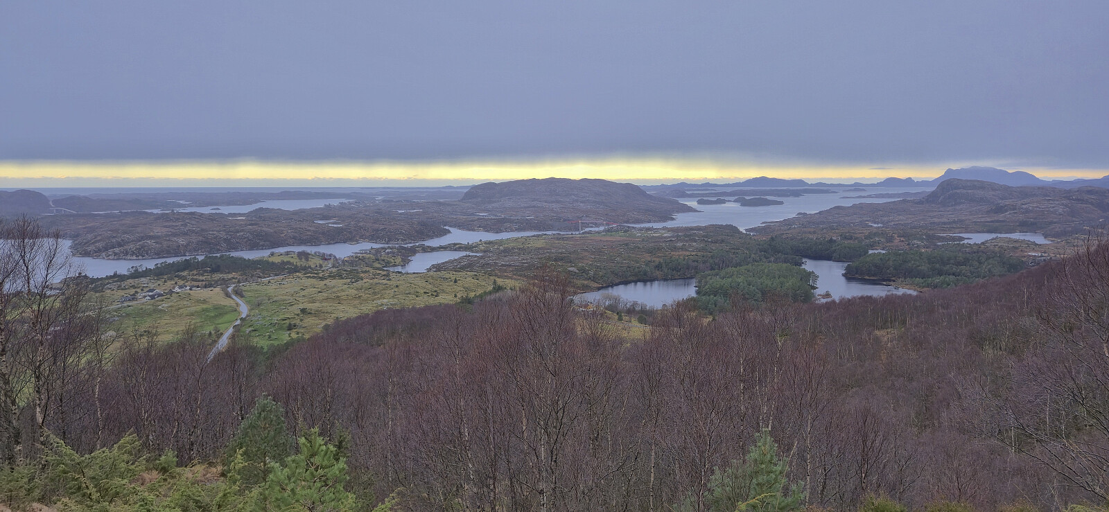
After taking the ferry across Fensfjorden to Sløvågen, we continued west towards our first goal of the day: Byrknesveten . Here we found parking west of the summit , with room for at least two cars, and from there simply followed the marked trail all the way to the summit cairn. Excellent views from the summit, and a nice short hike along a nice trail that can be recommended.
We returned the same way and then drove the short distance north to Mjømna in order to ascend Piltevarden .
When our original plan to go skiing at Vikafjellet had to be cancelled due to bad weather, and the same happened to our backup plan to go hiking to peaks in Omvikdalen/Myklebustdalen south of Rosendal, Endre and I settled on plan C which included driving north to Gulen in an attempt to escape the heavy rain/snow showers further south and east.
After taking the ferry across Fensfjorden to Sløvågen, we continued west towards our first goal of the day: Byrknesveten . Here we found parking west of the summit , with room for at least two cars, and from there simply followed the marked trail all the way to the summit cairn. Excellent views from the summit, and a nice short hike along a nice trail that can be recommended.
We returned the same way and then drove the short distance north to Mjømna in order to ascend Piltevarden .
Ørneberget and Hellen festning
- Dato:
- 23.11.2025
- Turtype:
- Fjelltur
- Turlengde:
- 1:02t
- Distanse:
- 4,2km
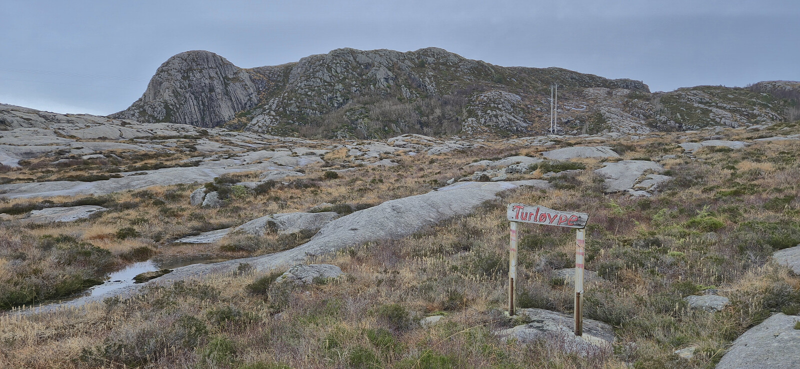
 Short local Sunday hike.
Klauvaneset to Støbotn via Tellevikafjellet
- Dato:
- 15.11.2025
- Turtype:
- Fjelltur
- Turlengde:
- 2:32t
- Distanse:
- 7,1km
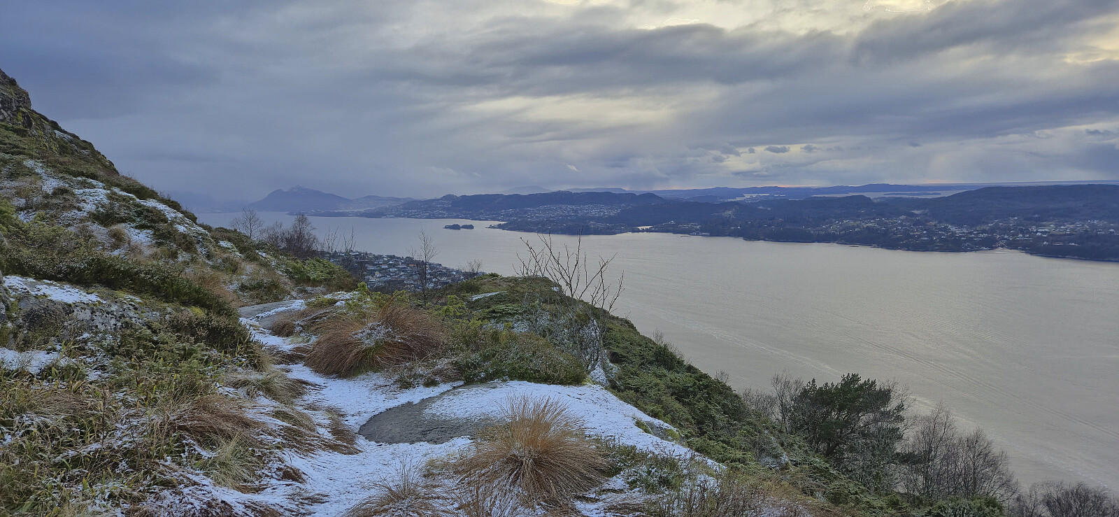 A revisit of Tellevikafjellet via a trail from the north and ending up at Støbotn. The hike started with snow showers and ended with rain.
Olsokfjellet and Damsgårdsfjellet
- Dato:
- 14.11.2025
- Turtype:
- Fjelltur
- Turlengde:
- 2:42t
- Distanse:
- 7,1km
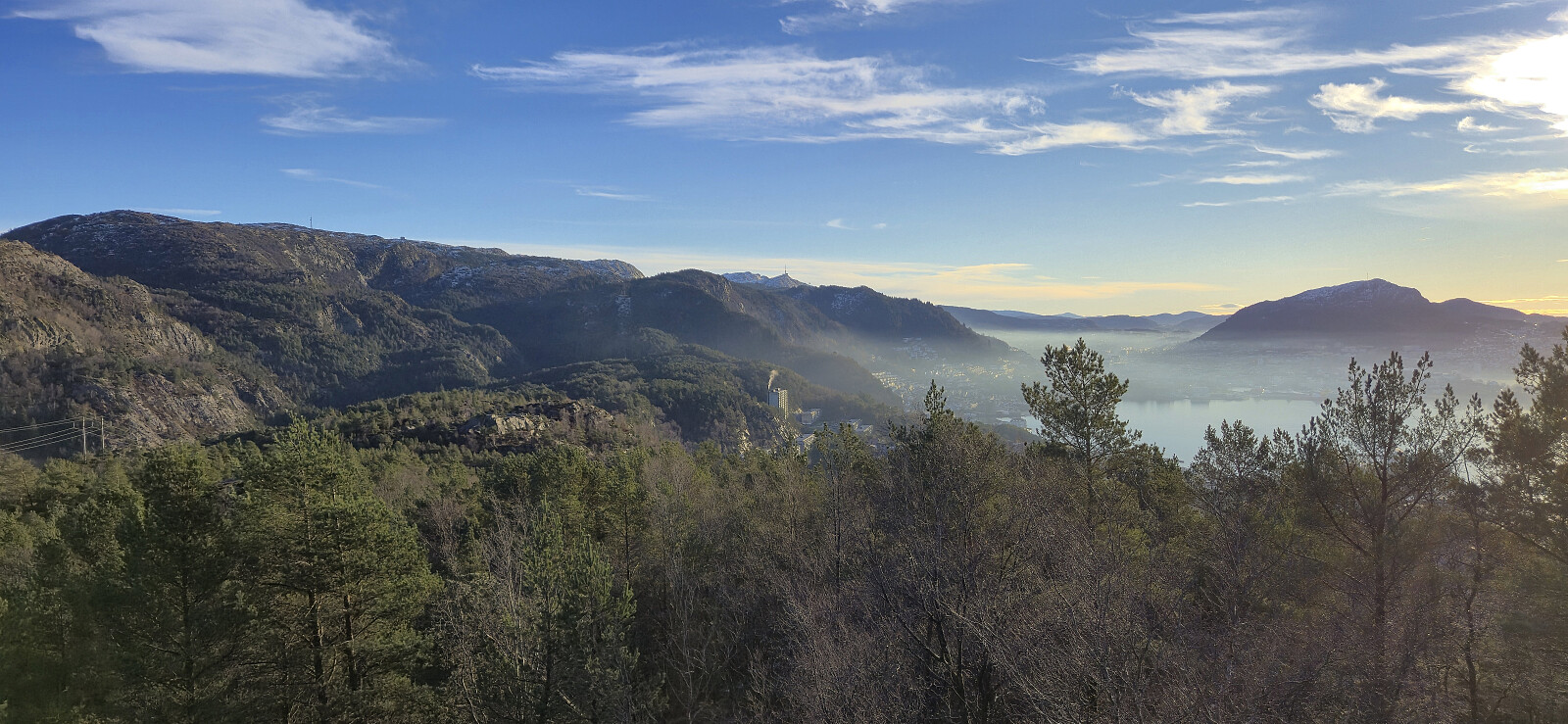
 Short afternoon hike with some of my colleagues.
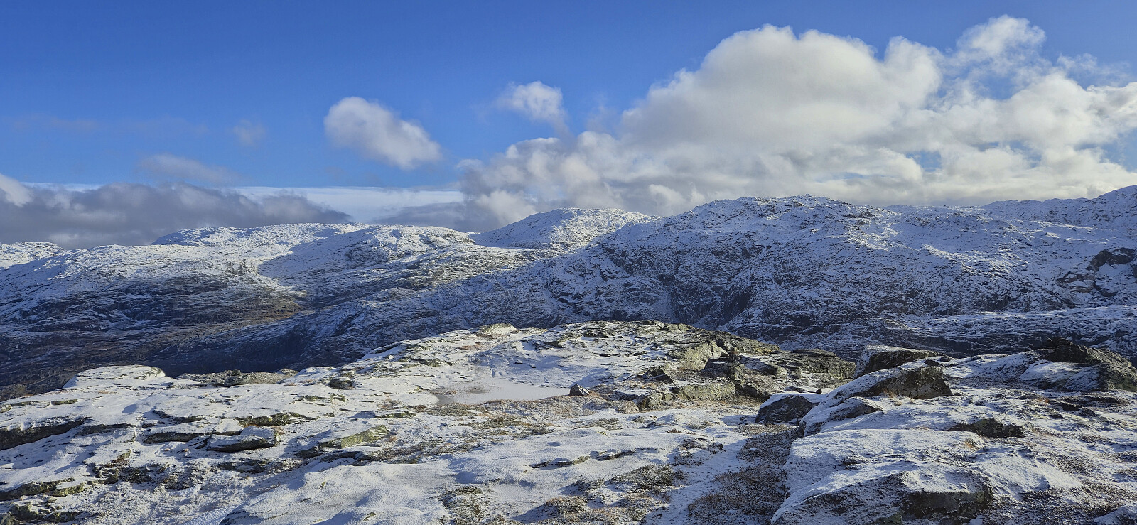
Bunuten and Vatnasetenuten
- Dato:
- 08.11.2025
- Turtype:
- Fjelltur
- Turlengde:
- 7:32t
- Distanse:
- 22,2km
 I started by taking an early train from Bergen to Voss and then the bus to Bu terminal just south of Hardangerbroen. Here I could have switched to a connecting bus heading towards Eidfjord, but I did not think of this until it was too late, and in any case it would only have saved me around 1 km along the paved road.
After a short walk east on the separate cycling and walking path, I left the main road and followed a smaller side road via Indre Bu to the start of a tractor road west of Bugjelet. When the tractor road came to an end at a small stream, I easily crossed to the other side and continued on an initially marked trail. The markers soon disappeared though, but the trail was still generally easy follow.
When getting close to the top of the pass, the trail split and I followed the option >>>
I started by taking an early train from Bergen to Voss and then the bus to Bu terminal just south of Hardangerbroen. Here I could have switched to a connecting bus heading towards Eidfjord, but I did not think of this until it was too late, and in any case it would only have saved me around 1 km along the paved road.
After a short walk east on the separate cycling and walking path, I left the main road and followed a smaller side road via Indre Bu to the start of a tractor road west of Bugjelet. When the tractor road came to an end at a small stream, I easily crossed to the other side and continued on an initially marked trail. The markers soon disappeared though, but the trail was still generally easy follow.
When getting close to the top of the pass, the trail split and I followed the option >>>
Jonstein roundtrip from Bottsvatnet
- Dato:
- 02.11.2025
- Turtype:
- Fjelltur
- Turlengde:
- 3:26t
- Distanse:
- 8,1km
 Endre and I tried to make the most out of a window of nicer weather east of Bergen and decided on Jonstein as our goal. After the drive to Tørvikbygd and the ferry to Jondal we continued up Folgefonnvegen before following the smaller gravel road to the parking lot at Bottsvatnet (or Botsvatn as used on the information poster).
We had considered to also include an ascent of Saksaklepp , but this could already be ruled out given that the road to the glacier was closed for the winter immediately after our exit to Bottsvatnet. After passing a locked barrier we proceeded along the gravel road to Skarvabotnen. Here the road turned into a marked trail that could be easily followed all the way to the summit, with the only challenging being the occasional patches of ice.
Due to low-hanging clouds and a light snow shower, the >>>
Endre and I tried to make the most out of a window of nicer weather east of Bergen and decided on Jonstein as our goal. After the drive to Tørvikbygd and the ferry to Jondal we continued up Folgefonnvegen before following the smaller gravel road to the parking lot at Bottsvatnet (or Botsvatn as used on the information poster).
We had considered to also include an ascent of Saksaklepp , but this could already be ruled out given that the road to the glacier was closed for the winter immediately after our exit to Bottsvatnet. After passing a locked barrier we proceeded along the gravel road to Skarvabotnen. Here the road turned into a marked trail that could be easily followed all the way to the summit, with the only challenging being the occasional patches of ice.
Due to low-hanging clouds and a light snow shower, the >>>
