Archive - Date
Archive - Activity
-
Bike trip (128)
- Bike trip - mixed (29)
- Bike trip - road (99)
-
Drive (9)
- Car drive (9)
-
Other trip (4)
- Kayaking (4)
-
Ski trip (116)
- Backcountry skiing (69)
- Cross-country skiing (47)
- Trip by foot (1989)
Collected lists
-
Utvalgte topper og turmål i Bergen
(354/355)
 99%
-
Alle topper i Bergen
(398/404)
98%
-
Opptur Hordaland
(148/159)
93%
-
Jondal ≥ 100m pf.
(19/23)
82%
-
Stasjoner på Bergensbanen
(33/40)
82%
-
Ulvik ≥ 100m pf.
(31/38)
81%
-
Hordaland ≥ 100m pf.
(653/863)
75%
-
Mjølfjell PF > 100m
(21/31)
67%
-
Sunnhordland PF >= 100m
(122/186)
65%
-
Dagsturhyttene i Vestland
(39/62)
62%
-
Kvinnherad ≥ 100m pf.
(49/79)
62%
-
Hordaland: Hardanger PF>=100m
(208/359)
57%
-
DNT-hytter i Hordaland
(25/46)
54%
-
Eidfjord ≥ 100m pf.
(15/42)
35%
-
Etne ≥ 100m pf.
(16/51)
31%
-
Sogndal ≥ 100m pf.
(24/81)
29%
-
Gulen ≥ 100m pf.
(15/54)
27%
-
Sogn - Sør for Sognefjorden PF>=100m
(43/159)
27%
-
Vik i Sogn ≥ 100m pf.
(12/46)
26%
-
Ullensvang ≥ 100m pf.
(31/153)
20%


Ørneberget, Rognåsen and Hellen festning
- Datum:
- 06.04.2026
- Characteristic:
- Hillwalk
- Délka túry:
- 1:38h
- Vzdálenost:
- 6.7km
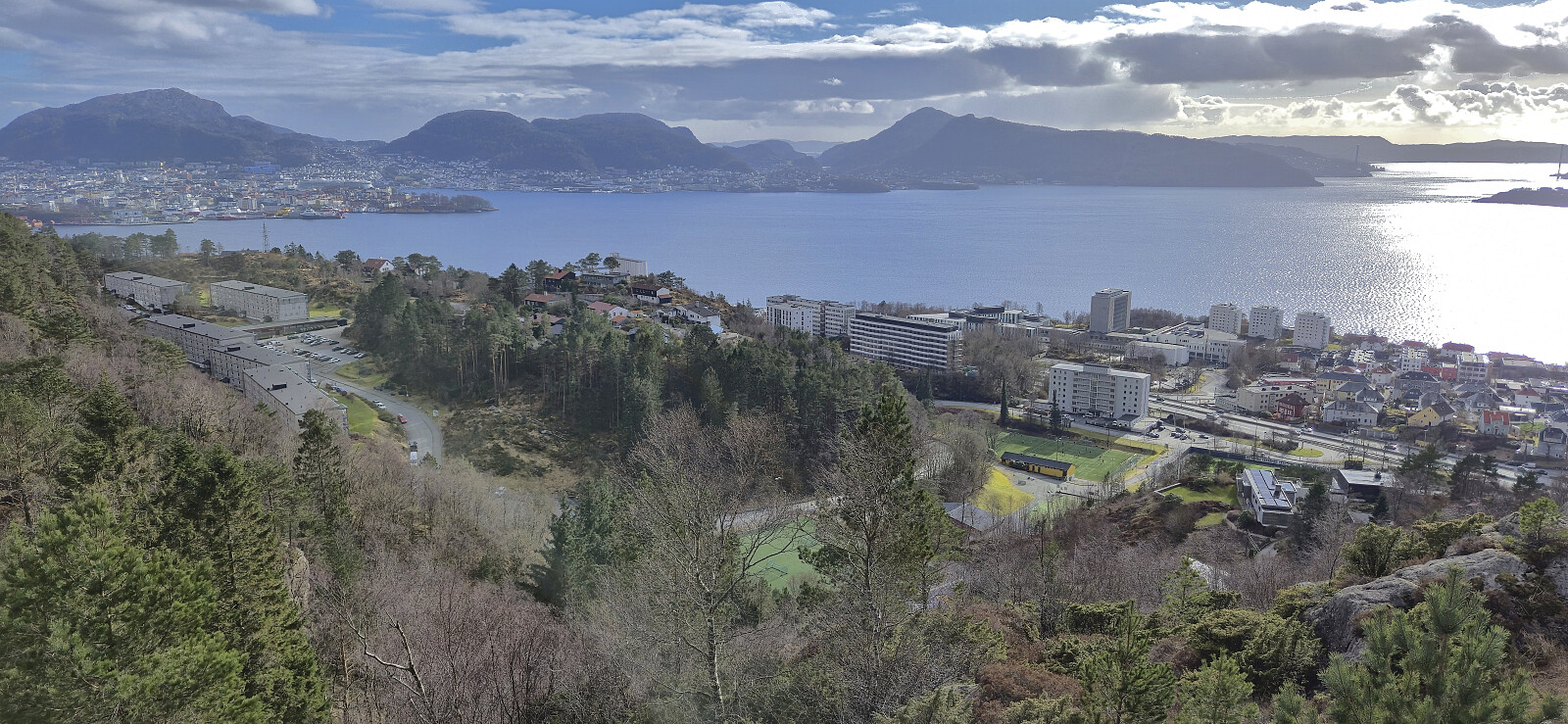 Short local hike after returning to Bergen from Sogndal the day before.

Mjølkeflathytta
- Datum:
- 31.03.2026
- Characteristic:
- Hillwalk
- Délka túry:
- 0:46h
- Vzdálenost:
- 2.4km
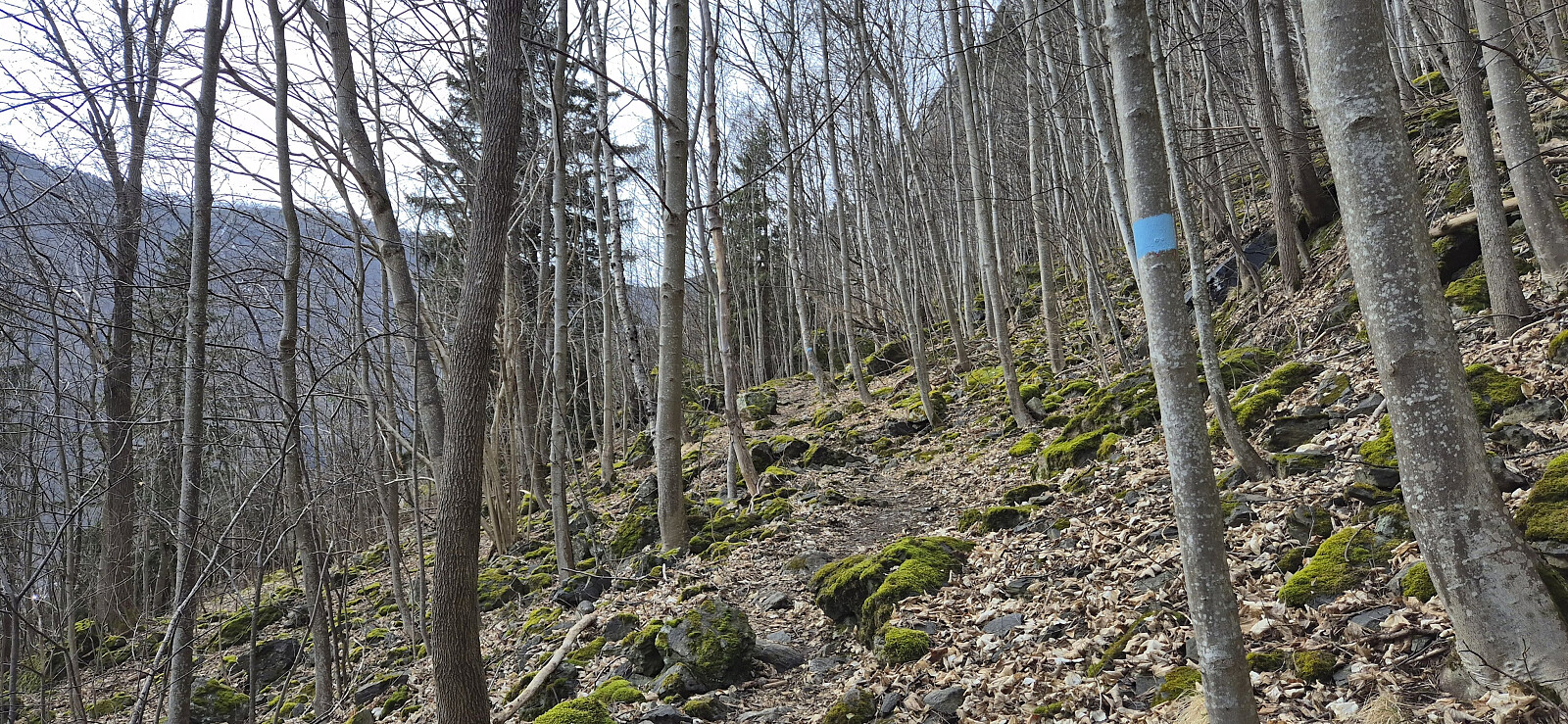 Short stop in Lærdal to visit Mjølkeflathytta when driving from Bergen to Sogndal for Easter. I got dropped off at the marked trailhead at Stødno and proceeded to follow the marked trail southwest to the cabin. The trail was easy to follow but might be more tricky under wet and in particular icy conditions. From the cabin I continued west along the trail until arriving at the bridge across Lærdalselvi. The sidewalk along the bridge then easily took me across the river where I was picked up for the remainder of the drive to Sogndal. Overall, a nice short hike with good views.
Ørneberget and Hellefjellet
- Datum:
- 29.03.2026
- Characteristic:
- Hillwalk
- Délka túry:
- 0:59h
- Vzdálenost:
- 4.0km
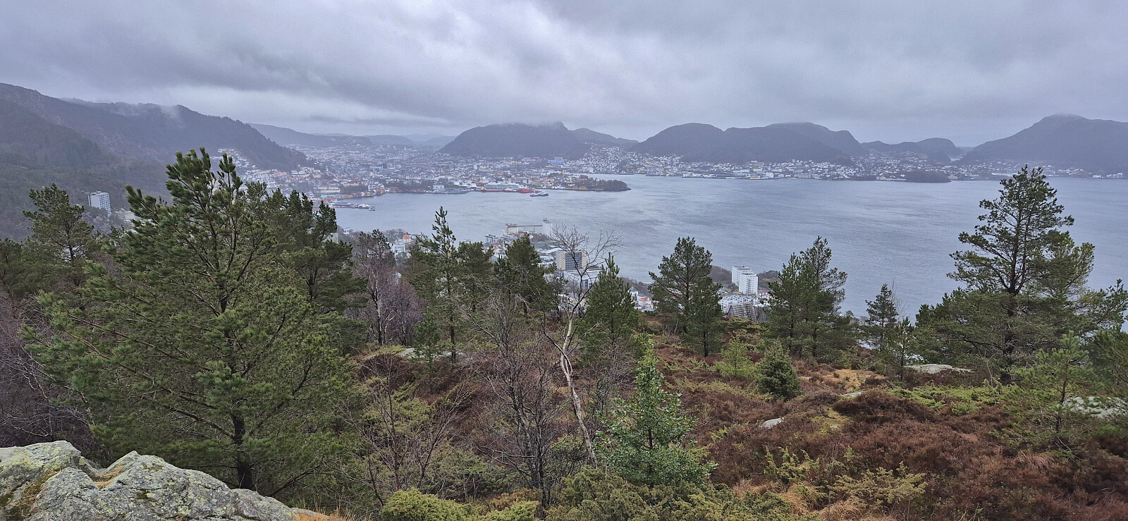 Short local Sunday hike between the rain showers.
Sjuråsen from Stussvikhovda snuplass
- Datum:
- 24.03.2026
- Characteristic:
- Hillwalk
- Délka túry:
- 1:55h
- Vzdálenost:
- 8.3km
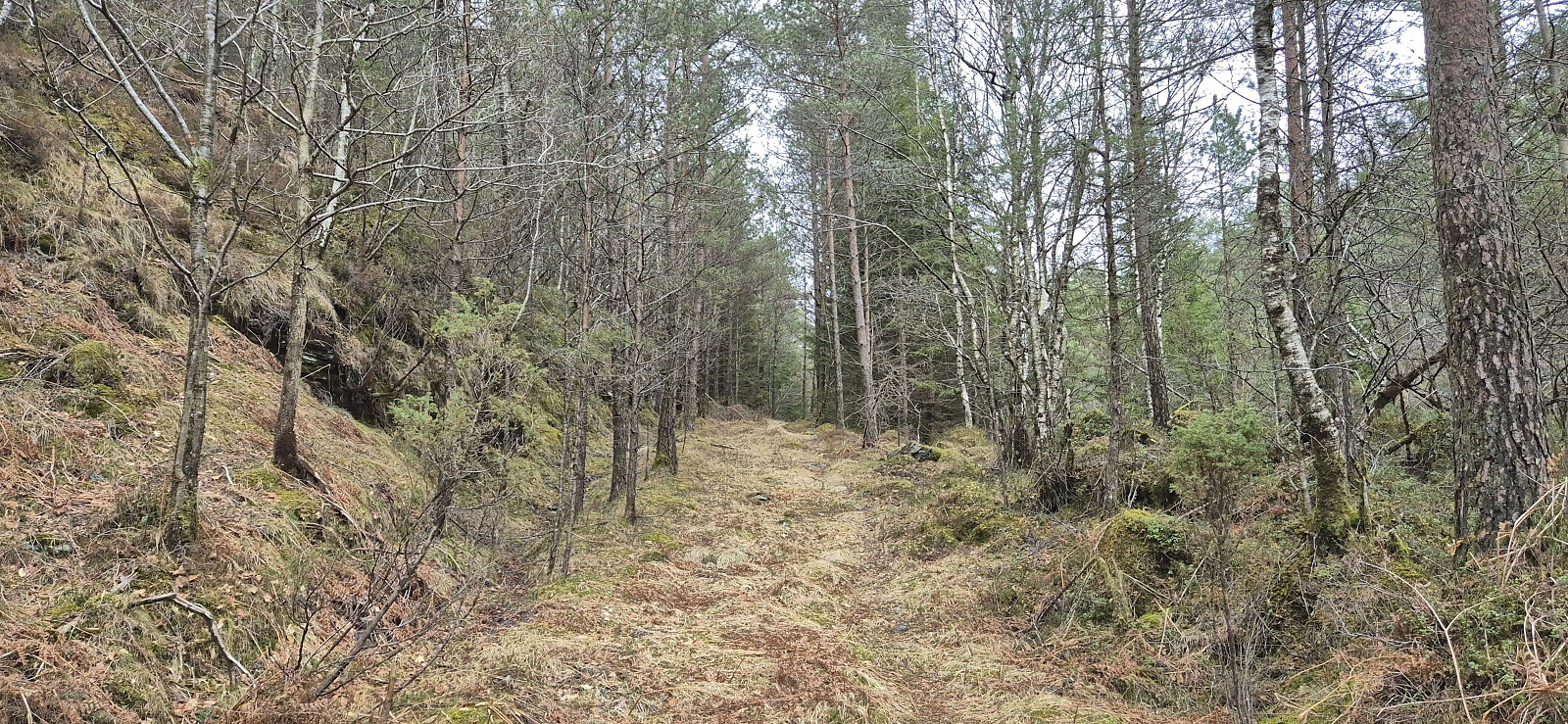 When another two-day meeting at Solstrand came to an end, I did what has now almost become a tradition, i.e. I made a long solo detour to a new peak before finally heading back to Bergen later in the evening. This time I had settled on Sjuråsen as my target, even though it has a vertical separation of only 99.4. The required motivation to still visit this peak came from Peakbagger where, due to only storing integer values, the prominence value is set to 100 .
By taking the bus (and ferry) south from Solstrand, I got as far as Stussvikhovda snuplass from where I had to walk the remaining 4.3 km to the start of a tractor road southwest of the summit. Note that unless you count the grass-covered area on the outside of the guard rails, which I partially made use of, there were no sidewalks, however the traffic was thankfully limited.
Just before getting to the tractor road, >>>
Ørneberget and Furukammen
- Datum:
- 22.03.2026
- Characteristic:
- Hillwalk
- Délka túry:
- 0:58h
- Vzdálenost:
- 4.1km
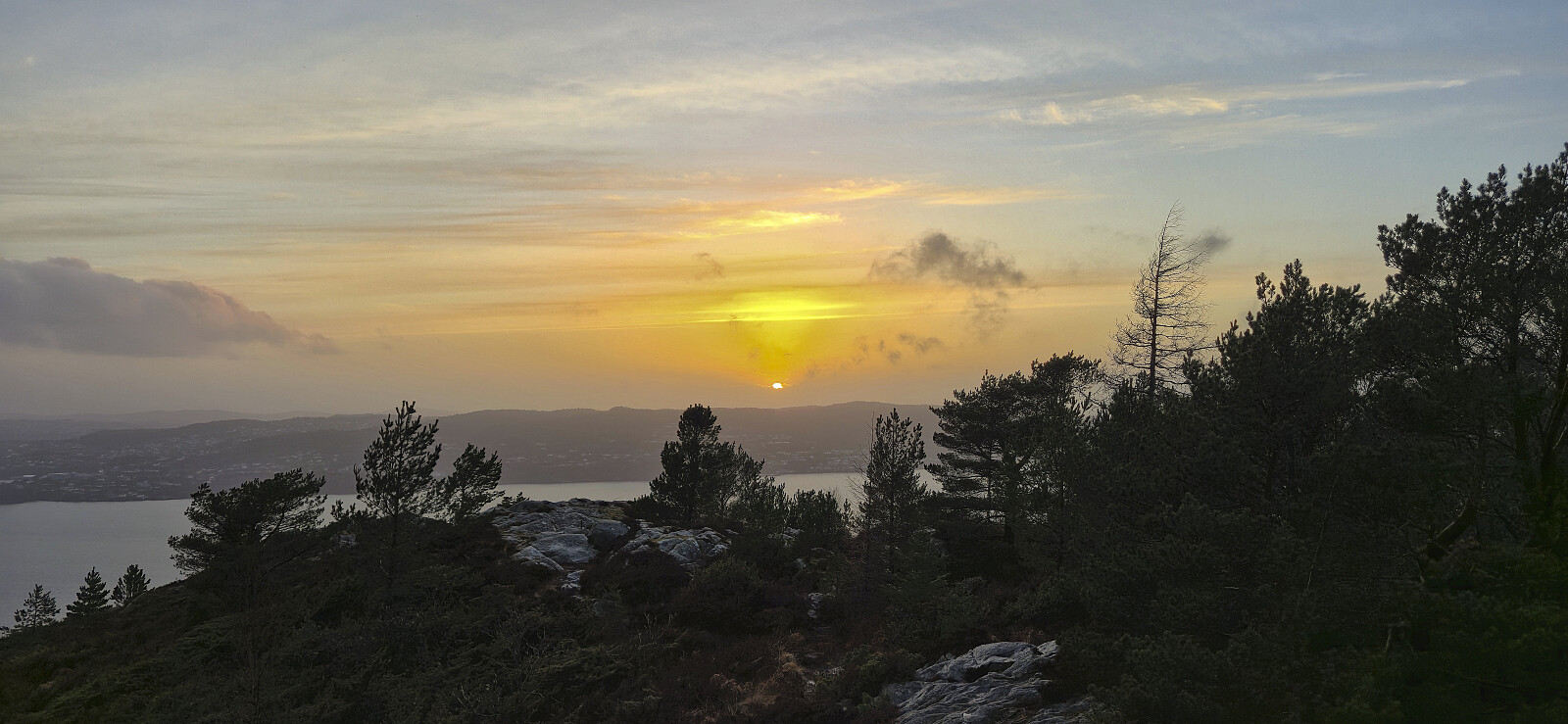 Short local Sunday hike after it finally stopped raining.
Rundemanen via Brakhaugen
- Datum:
- 20.03.2026
- Characteristic:
- Hillwalk
- Délka túry:
- 3:07h
- Vzdálenost:
- 13.6km
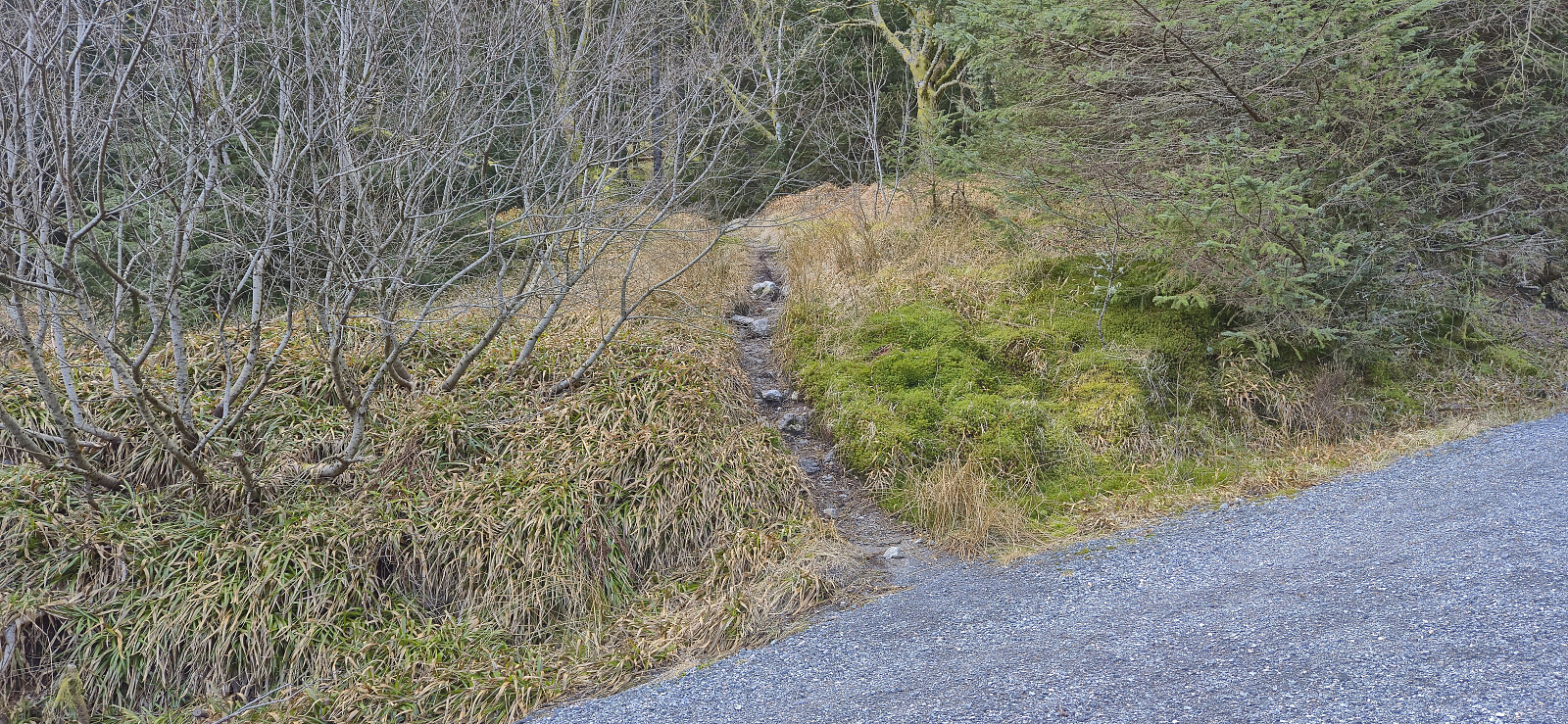 Before heading home from work I decided to try a (for me) new trail to Rundemanen from Tarlebøveien via Brakhaugen. The trail seemed to mainly be used for downhill cycling, although I did not see cyclists, or anyone else for that matter, this evening. Overall, the route can be recommended and provided some relatively unusual views. Even the very familiar antenna at Rundemanen felt different when approached from the southeast.
Fjellveien, Sandviksbatteriet and Håmanen
- Datum:
- 15.03.2026
- Characteristic:
- Hillwalk
- Délka túry:
- 2:16h
- Vzdálenost:
- 8.8km
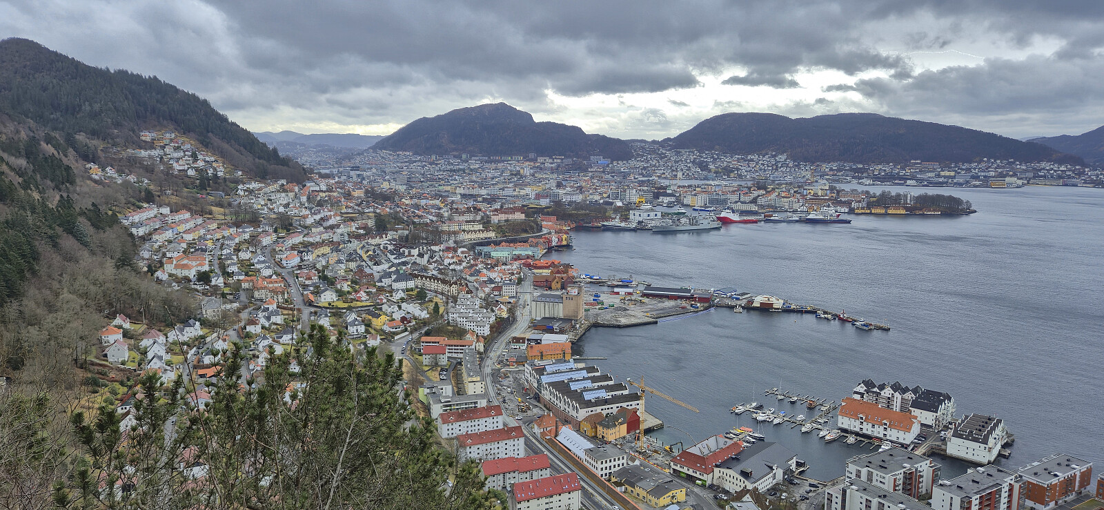 Local Sunday hike.
Ørneberget, Furukammen and Hellen festning
- Datum:
- 14.03.2026
- Characteristic:
- Hillwalk
- Délka túry:
- 1:03h
- Vzdálenost:
- 4.0km
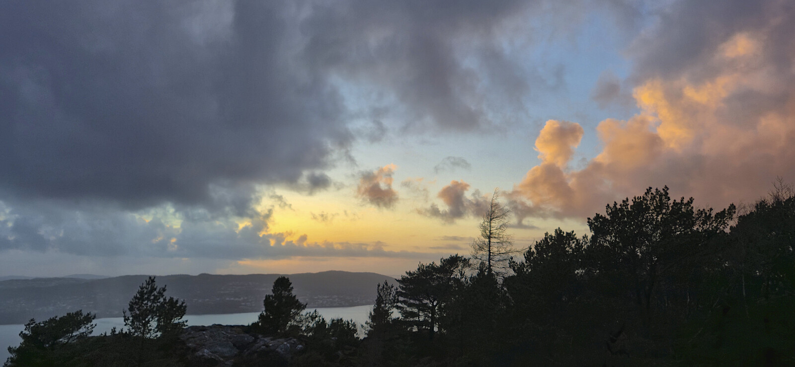 Short local Saturday hike around sunset.
Oppstemten, Ulriken and Landåseggen
- Datum:
- 04.03.2026
- Characteristic:
- Hillwalk
- Délka túry:
- 1:57h
- Vzdálenost:
- 6.8km
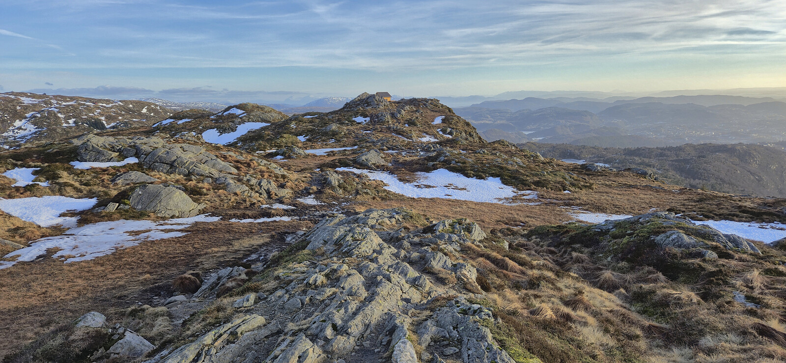 Short hike before heading home from work. Sunny, but cold wind at the top.
Hanøyna and Ramsøyna
- Datum:
- 01.03.2026
- Characteristic:
- Hillwalk
- Délka túry:
- 3:02h
- Vzdálenost:
- 9.3km
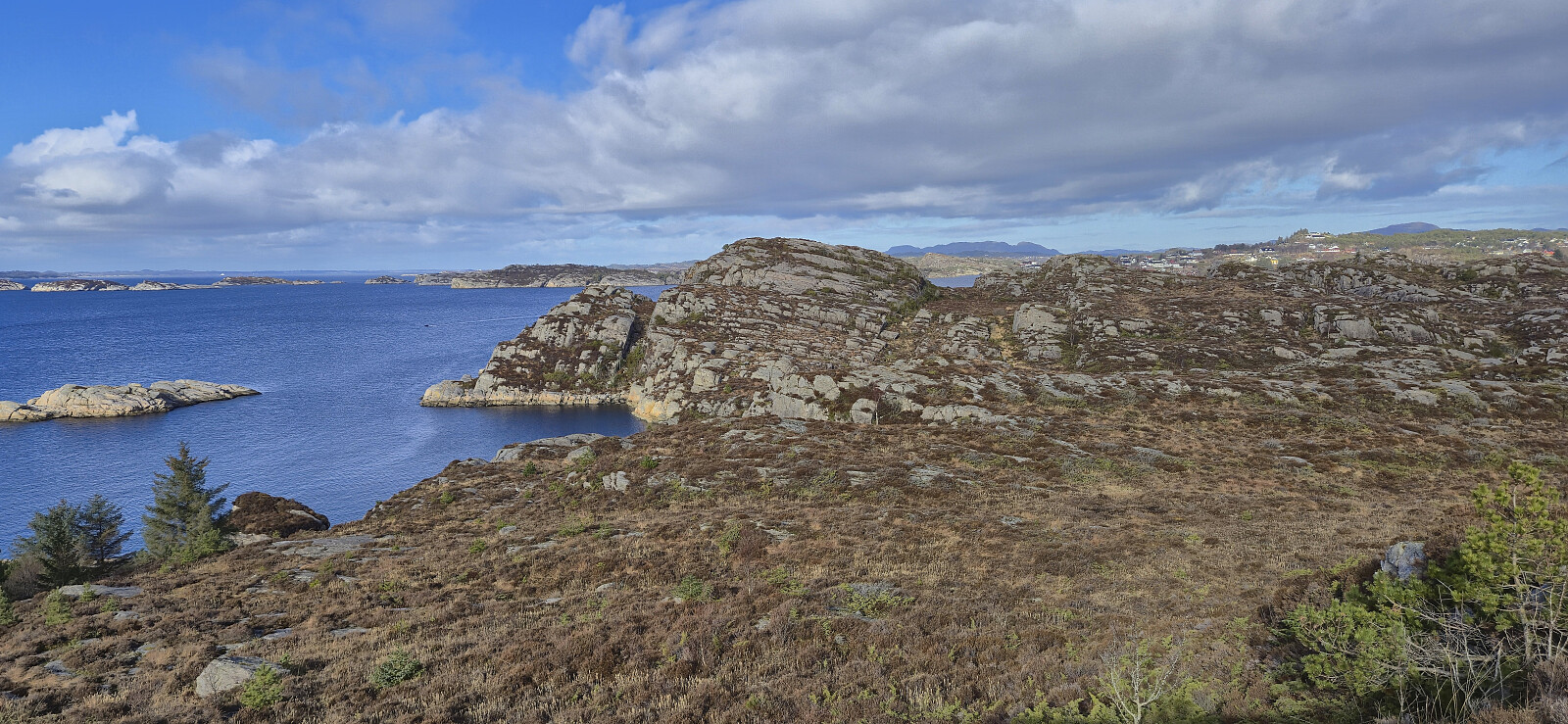 Inspired by Kjell 's trip to Ramsøyna almost exactly one year ago, we drove to Hanøyna were we parked at the almost empty parking lot outside Hanøy Skole (it was Sunday after all). From there we followed the main road southwest to Ramsøyna for a visit of Ramsøy Fort and Nordvestre Ramsøytangen. On the way back to the car we made quick stops at Stora Lauvøyna and Hanøyklubben , both accessible via ok trails. Note that the latter is part of Hanøyklubben naturreservat and is off limits for hikers between April 15th and July 31st due to the seabird nesting season.


