Archive - Date
Archive - Activity
-
Bike trip (110)
- Bike trip - mixed (25)
- Bike trip - road (85)
-
Drive (9)
- Car drive (9)
-
Other trip (3)
- Kayaking (3)
-
Ski trip (116)
- Backcountry skiing (69)
- Cross-country skiing (47)
- Trip by foot (1884)
Collected lists
-
Utvalgte topper og turmål i Bergen
(348/349)
 99%
99% -
Alle topper i Bergen
(391/398)
98%
-
Voss ≥ 100m pf.
(96/98)
97%
-
Opptur Hordaland
(144/159)
90%
-
Stasjoner på Bergensbanen
(33/40)
82%
-
Ulvik ≥ 100m pf.
(28/38)
73%
-
Hordaland ≥ 100m pf.
(622/863)
72%
-
Mjølfjell PF > 100m
(21/31)
67%
-
Jondal ≥ 100m pf.
(15/23)
65%
-
Dagsturhyttene i Vestland
(36/61)
59%
-
Sunnhordland PF >= 100m
(105/186)
56%
-
Hordaland: Hardanger PF>=100m
(194/359)
54%
-
DNT-hytter i Hordaland
(23/45)
51%
-
Kvinnherad ≥ 100m pf.
(40/79)
50%
-
Eidfjord ≥ 100m pf.
(13/42)
30%
-
Sogndal ≥ 100m pf.
(23/81)
28%
-
Gulen ≥ 100m pf.
(15/54)
27%
-
Vik i Sogn ≥ 100m pf.
(10/46)
21%
-
Sogn - Sør for Sognefjorden PF>=100m
(31/159)
19%
-
DNT-hytter i Sogn og Fjordane
(8/47)
17%

Stanghelle to Dale via Smørstakken
- Date:
- 27.07.2024
- Characteristic:
- Hillwalk
- Duration:
- 3:53h
- Distance:
- 12.0km
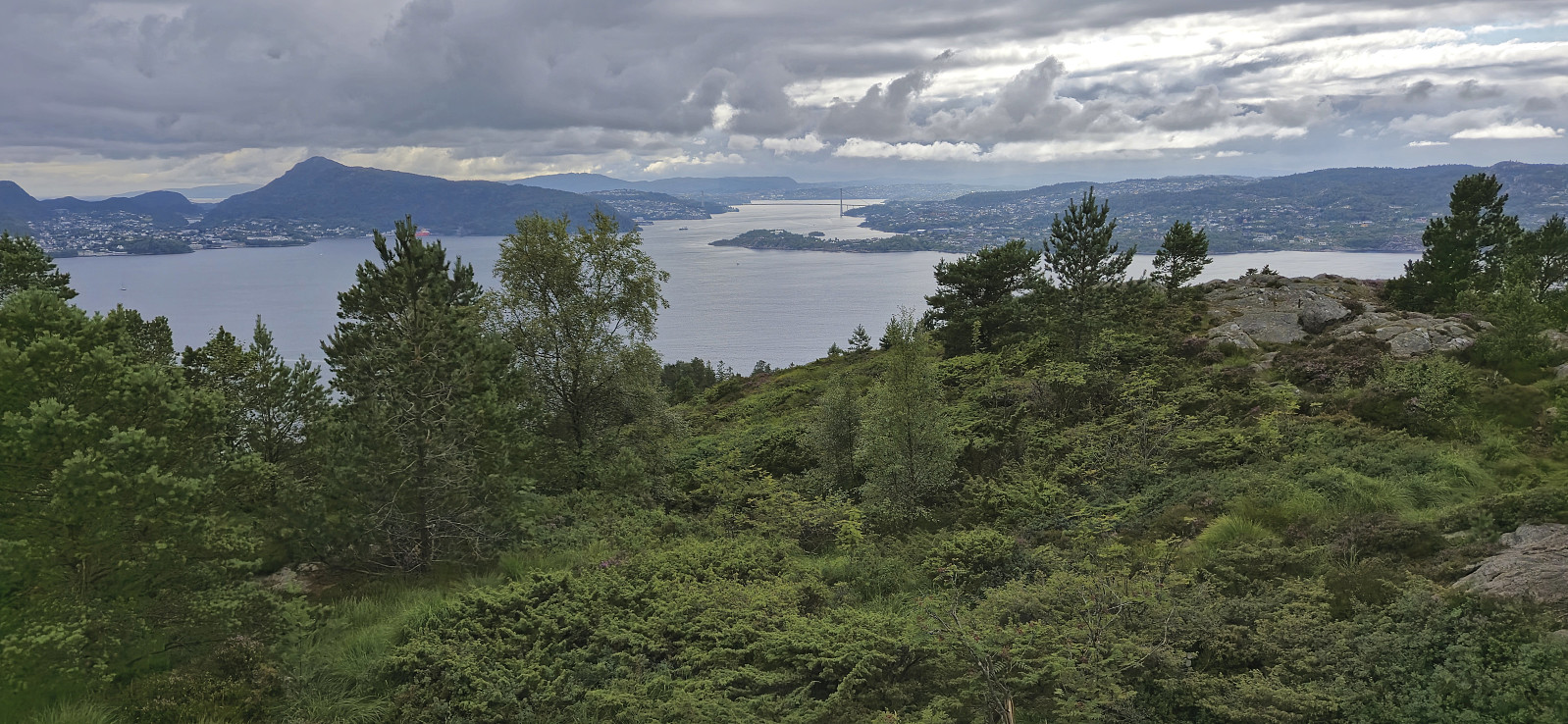
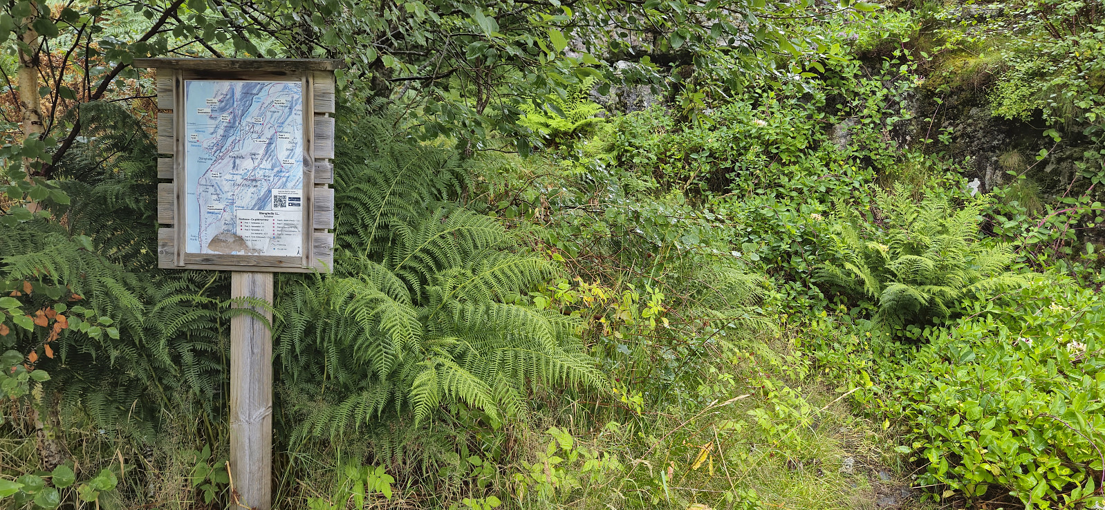 Due to an unstable weather forecast I opted for a return to Stanghelle with the main objective of visiting Smørstakken . As I got off the train I was welcomed by an intensive rain shower. I tried waiting it out at the station, but finally gave up and started the hike, and except for short breaks it would not really stop raining for another 2.5 hours.
I started along the same trail as for my previous hike in the area , but quickly deviated and instead followed the marked trail to Varden på Åsen for some nice views. After turning back I followed the marked trail to Berget and Smørstakken . The trail was overall easy to follow but there was a short steep section along the ridge with overhanging powerlines. There was a wire to hold on to though. Both Berget and Smørstakken provided excellent views, especially north along Veafjorden from Smørstakken.
From Smørstakken >>>
Due to an unstable weather forecast I opted for a return to Stanghelle with the main objective of visiting Smørstakken . As I got off the train I was welcomed by an intensive rain shower. I tried waiting it out at the station, but finally gave up and started the hike, and except for short breaks it would not really stop raining for another 2.5 hours.
I started along the same trail as for my previous hike in the area , but quickly deviated and instead followed the marked trail to Varden på Åsen for some nice views. After turning back I followed the marked trail to Berget and Smørstakken . The trail was overall easy to follow but there was a short steep section along the ridge with overhanging powerlines. There was a wire to hold on to though. Both Berget and Smørstakken provided excellent views, especially north along Veafjorden from Smørstakken.
From Smørstakken >>>
Ørneberget and Hellen festning
- Date:
- 26.07.2024
- Characteristic:
- Hillwalk
- Duration:
- 1:07h
- Distance:
- 4.8km
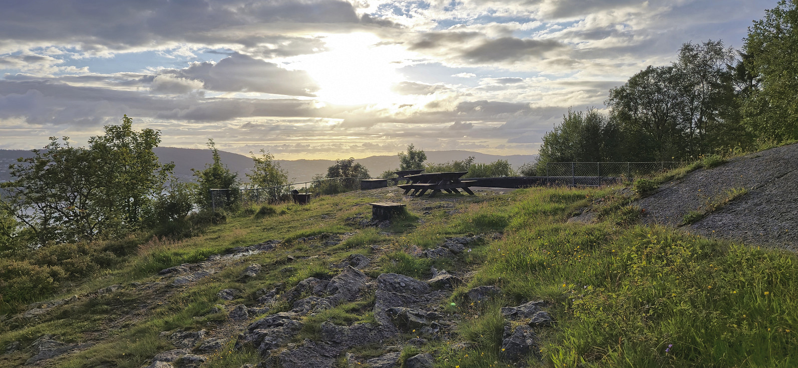 Short local evening hike on a day with highly variable weather.
Urdeggi, Skjelinganosi and Skabotsvarden
- Date:
- 23.07.2024
- Characteristic:
- Hillwalk
- Duration:
- 6:16h
- Distance:
- 18.7km
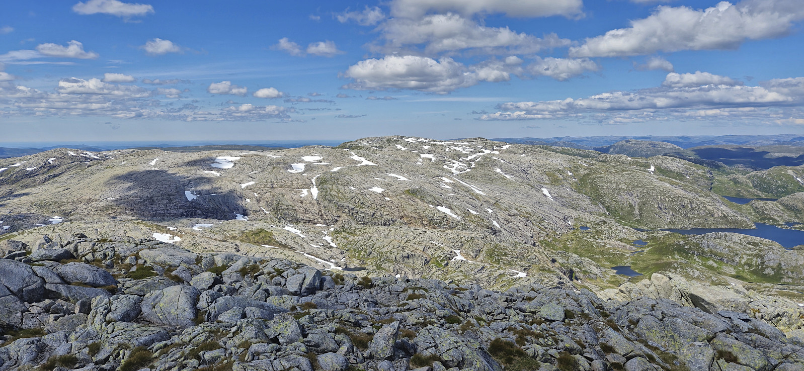
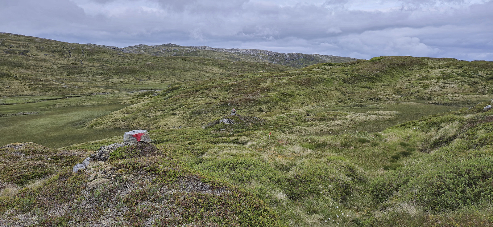
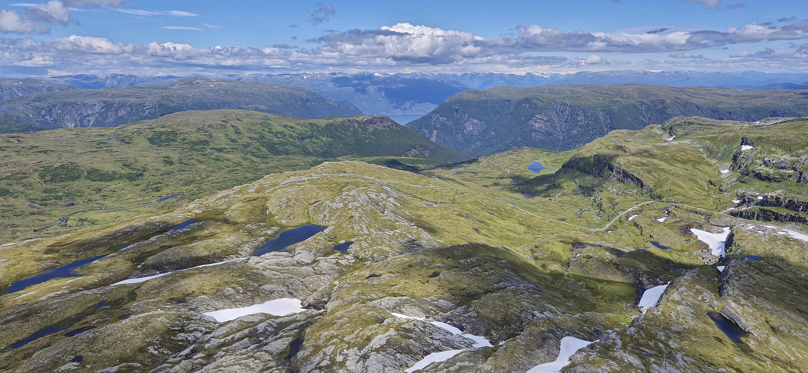 For the second time this summer I hitched a ride to Vikafjellet where I was dropped off at Nordre Skjelingen and could start my ascent of Urdeggi via the gravel road between the cabins. After passing the final cabin I found my own way to the summit. This was straightforward and the summit provided spectacular views.
From Urdeggi I first walked south on a trail along the ridge, but later headed more directly to the gravel road to the southwest to begin my ascent of Skjelinganosi . The ascent looked steep from a distance but turned out to be a marked trail with small cairns leading the way. Once more the views were impressive, especially near the steep north face.
After a short lunch break, I headed south/southwest via Skjelinganosi Sør to Skabotsvarden . No trails here as far as I could tell but the terrain was easy to traverse and did not present >>>
For the second time this summer I hitched a ride to Vikafjellet where I was dropped off at Nordre Skjelingen and could start my ascent of Urdeggi via the gravel road between the cabins. After passing the final cabin I found my own way to the summit. This was straightforward and the summit provided spectacular views.
From Urdeggi I first walked south on a trail along the ridge, but later headed more directly to the gravel road to the southwest to begin my ascent of Skjelinganosi . The ascent looked steep from a distance but turned out to be a marked trail with small cairns leading the way. Once more the views were impressive, especially near the steep north face.
After a short lunch break, I headed south/southwest via Skjelinganosi Sør to Skabotsvarden . No trails here as far as I could tell but the terrain was easy to traverse and did not present >>>
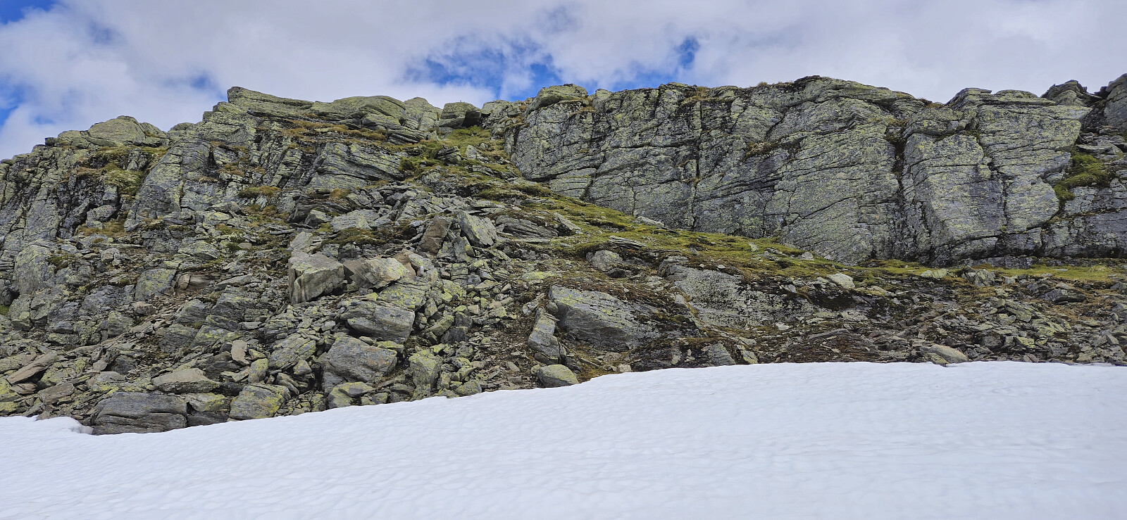
Joskarfjellet and Høgafjellet
- Date:
- 18.07.2024
- Characteristic:
- Hillwalk
- Duration:
- 9:30h
- Distance:
- 30.0km
 Warning: This hike contains a steep off-trail descent. Please read the report carefully to see if this is something you are comfortable with.
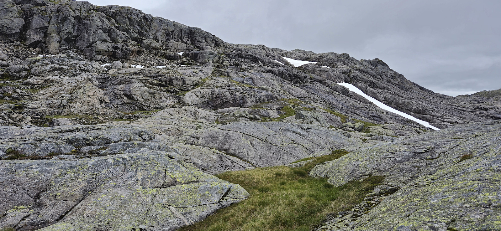
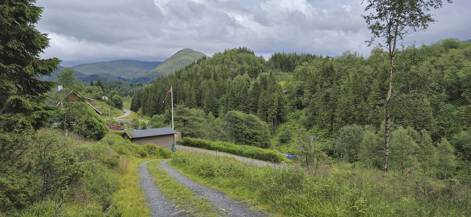
I started by taking the train to Dale and the bus to Eksingedalen where I got off at "Modalstunnelen sør" (the bus continued through the tunnel). The first part of the hike therefore consisted of walking east along the road to Vetlejord. Here I easily located the marked trailhead for Vetlejordsstølen and proceeded to follow the marked trail until it ended at two cabins. The trail was overall rather wet and muddy but except for a small herd of cattle that had to be avoided early on, it could be followed without any issues.
From Vetlejordsstølen I headed off-trail to the start of the ridge of Joskarfjellet (or Joskardfjellet as it is named on PB). This was overall straightforward >>>
Warning: This hike contains a steep off-trail descent. Please read the report carefully to see if this is something you are comfortable with.
I started by taking the train to Dale and the bus to Eksingedalen where I got off at "Modalstunnelen sør" (the bus continued through the tunnel). The first part of the hike therefore consisted of walking east along the road to Vetlejord. Here I easily located the marked trailhead for Vetlejordsstølen and proceeded to follow the marked trail until it ended at two cabins. The trail was overall rather wet and muddy but except for a small herd of cattle that had to be avoided early on, it could be followed without any issues.
From Vetlejordsstølen I headed off-trail to the start of the ridge of Joskarfjellet (or Joskardfjellet as it is named on PB). This was overall straightforward >>>
Ørneberget
- Date:
- 17.07.2024
- Characteristic:
- Hillwalk
- Duration:
- 1:34h
- Distance:
- 5.7km
 Short local afternoon hike.
Høghaugen and Frotveit søyle
- Date:
- 16.07.2024
- Characteristic:
- Hillwalk
- Duration:
- 2:06h
- Distance:
- 7.5km
 An afternoon hike to visit Høghaugen , another minor peak on the Alle topper i Bergen list . As a bonus I would get Frotveit søyle for free as it is located right next to the summit. I took the bus to "Frotveit snuplass" and briefly continued north along the road before crossing the river via an old stone bridge and following the same trail I had used when ascending Lundåsane in 2017 . I soon left this trail though and instead simply headed off-trail towards the highest point, which was reached without any issues. From the summit I could spot the trig marker and thus easily completed the final distance to Frotveit søyle. For the descent I tried a more direct shortcut back to the stone bridge but given the relatively steep terrain I probably did not save much, if any, time. The hike was concluded by taking the same route to Totland as for my hike to Lundåsane >>>
Bergsdalen to Eikedalen
- Date:
- 13.07.2024
- Characteristic:
- Hillwalk
- Duration:
- 9:11h
- Distance:
- 29.2km
 For the second Saturday in a row I took the train to Dale and the bus to Bergsdalen, but where I last week walked north to Evanger , this time I was heading south to Eikedalen. I got off the bus at the start of the road to Raunehaugen where I soon located the unmarked trailhead for Kjerringafjellet . The trail quality varied quite a lot and except for small cairns (mainly) towards the end it was unmarked. At several points I therefore had to check the GPS to make sure I was heading the right way. Near the summit there was also a boulder obstacle course that had to be traversed. The summit provided great views and a nice location for a short lunch break.
In order to next go to Storliknausen I first returned north towards Såta before carefully navigating my way down to the valley between Kjerringafjellet and Storliknausen. This was overall straightforward, >>>
For the second Saturday in a row I took the train to Dale and the bus to Bergsdalen, but where I last week walked north to Evanger , this time I was heading south to Eikedalen. I got off the bus at the start of the road to Raunehaugen where I soon located the unmarked trailhead for Kjerringafjellet . The trail quality varied quite a lot and except for small cairns (mainly) towards the end it was unmarked. At several points I therefore had to check the GPS to make sure I was heading the right way. Near the summit there was also a boulder obstacle course that had to be traversed. The summit provided great views and a nice location for a short lunch break.
In order to next go to Storliknausen I first returned north towards Såta before carefully navigating my way down to the valley between Kjerringafjellet and Storliknausen. This was overall straightforward, >>>
Ulvvatnet
- Date:
- 11.07.2024
- Characteristic:
- Hillwalk
- Duration:
- 1:22h
- Distance:
- 4.8km
 Yet another trip to a minor peak on the Alle topper i Bergen list , this time to Nord for Ulvvatnet . I got off at the bus stop "Samdal sag" and briefly continued northeast along the main road before turning right and following a tractor road to Ulvvatnet. From there I headed off-trail to the summit. The ascent was very wet from the unexpected rain shower from the start of the hike but otherwise straightforward. Very limited views. I descended via deer tracks that disappeared towards the end. The hike was concluded by walking around Ulvvatnet and then returning to the bus stop. Note that while the lake has a tractor road on the west side, the east side only has a wet trail at best, so don't expect to keep your feet dry.
Bjørndalskamben and Sollifjellet
- Date:
- 09.07.2024
- Characteristic:
- Hillwalk
- Duration:
- 6:53h
- Distance:
- 18.3km
 I was lucky to hitch a ride to Kvassdalen and was dropped off next to the unmarked trailhead for Bjørndalen . The first part of the ascent looked very steep but thanks to earlier trip reports, e.g. Arnt 's external trip report , I was pretty sure that it would be ok. As expected, the trail was steep but did not present any real challenges, although it may not be for everyone due to a couple of semi-exposed sections.
After the initial steep ascent, the terrain levelled off and I followed a nice trail along the river to Bjørndalen for the first look at Bjørndalskamben . The trail continued south, I however made a detour for better views into Kvassdalen. Upon reconnecting with the trail I did not stay on it for long and instead followed various sheep tracks. There were occasional cairns but no trail as far as I could tell. Closer to the summit, >>>
I was lucky to hitch a ride to Kvassdalen and was dropped off next to the unmarked trailhead for Bjørndalen . The first part of the ascent looked very steep but thanks to earlier trip reports, e.g. Arnt 's external trip report , I was pretty sure that it would be ok. As expected, the trail was steep but did not present any real challenges, although it may not be for everyone due to a couple of semi-exposed sections.
After the initial steep ascent, the terrain levelled off and I followed a nice trail along the river to Bjørndalen for the first look at Bjørndalskamben . The trail continued south, I however made a detour for better views into Kvassdalen. Upon reconnecting with the trail I did not stay on it for long and instead followed various sheep tracks. There were occasional cairns but no trail as far as I could tell. Closer to the summit, >>>
Bergsdalen to Evanger via Hamlagrøhornet
- Date:
- 06.07.2024
- Characteristic:
- Hillwalk
- Duration:
- 5:24h
- Distance:
- 18.4km
 I started by taking the train to Dale and from there the bus up to Bergsdalen where I got off at the start of the gravel road to Alexander Grieghytten . After a quick look at the cabin I continued on a marked trail north towards Evanger. At the top of the pass I however turned right, left the marked trail, and headed off-trail to the summit of Hamlagrøhornet . Here I visited all of the potential highest points (the one just south of the largest cairn seems to be the real summit) before continuing northeast via Såta to Løva .
Løva stood out from the rest of the terrain but could still be easily ascended. The unusual rock formations making up the ridge seemed to be very good cairn building material, as there were at least four cairns at or near the summit. After a short lunch break, I descended the same way before heading north and >>>
I started by taking the train to Dale and from there the bus up to Bergsdalen where I got off at the start of the gravel road to Alexander Grieghytten . After a quick look at the cabin I continued on a marked trail north towards Evanger. At the top of the pass I however turned right, left the marked trail, and headed off-trail to the summit of Hamlagrøhornet . Here I visited all of the potential highest points (the one just south of the largest cairn seems to be the real summit) before continuing northeast via Såta to Løva .
Løva stood out from the rest of the terrain but could still be easily ascended. The unusual rock formations making up the ridge seemed to be very good cairn building material, as there were at least four cairns at or near the summit. After a short lunch break, I descended the same way before heading north and >>>
