Archiv - Nach Datum
Archiv - Nach Aktivität
-
Andere Tour (3)
- Kayaking (3)
-
Fahrradtour (108)
- Fahrradtour Straße (83)
- Fahrradtour gemischt (25)
-
Fahrzeugtour (9)
- Autotour (9)
-
Fußtour (1844)
- Bergtour (1093)
- Jogging (1)
- Spaziergang (55)
- Wanderung (695)
-
Skitour (113)
- Langlauf (46)
- Tourenskilauf (67)
Gesammelte Listen
-
Utvalgte topper og turmål i Bergen
(343/344)
 99%
99% -
Alle topper i Bergen
(390/397)
98%
-
Voss ≥ 100m pf.
(96/98)
97%
-
Opptur Hordaland
(144/159)
90%
-
Stasjoner på Bergensbanen
(31/40)
77%
-
Ulvik ≥ 100m pf.
(28/38)
73%
-
Hordaland ≥ 100m pf.
(617/863)
71%
-
Mjølfjell PF > 100m
(21/31)
67%
-
Jondal ≥ 100m pf.
(15/23)
65%
-
Sunnhordland PF >= 100m
(105/186)
56%
-
Dagsturhyttene i Vestland
(33/61)
54%
-
Hordaland: Hardanger PF>=100m
(189/359)
52%
-
DNT-hytter i Hordaland
(23/45)
51%
-
Kvinnherad ≥ 100m pf.
(40/79)
50%
-
Sogndal ≥ 100m pf.
(23/81)
28%
-
Eidfjord ≥ 100m pf.
(10/42)
23%
-
Vik i Sogn ≥ 100m pf.
(10/46)
21%
-
Gulen ≥ 100m pf.
(10/54)
18%
-
DNT-hytter i Sogn og Fjordane
(8/47)
17%
-
Sogn - Sør for Sognefjorden PF>=100m
(26/159)
16%

Morkafjellet from Verpelstad
- Datum:
- 18.01.2025
- Tourcharakter:
- Bergtour
- Tourlänge:
- 2:56h
- Entfernung:
- 7,0km
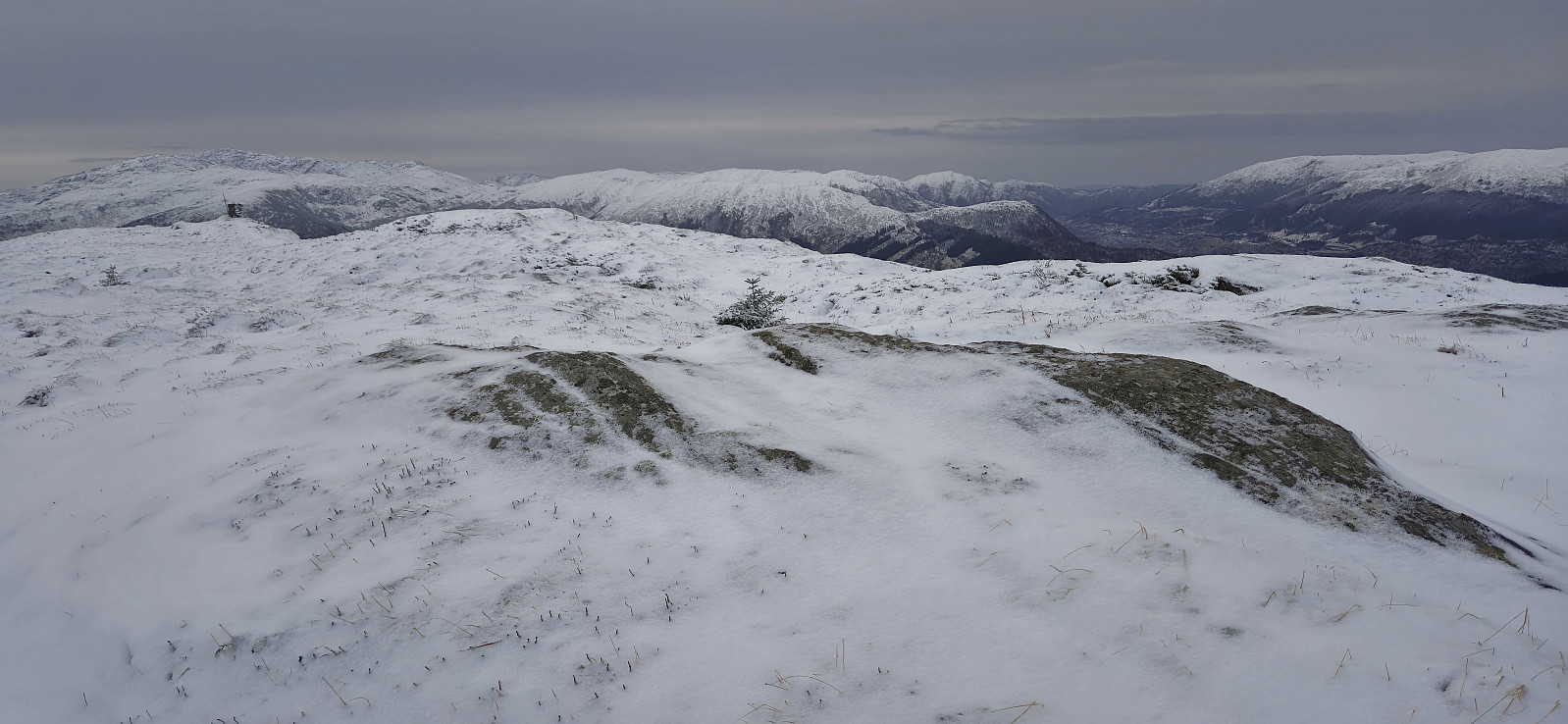
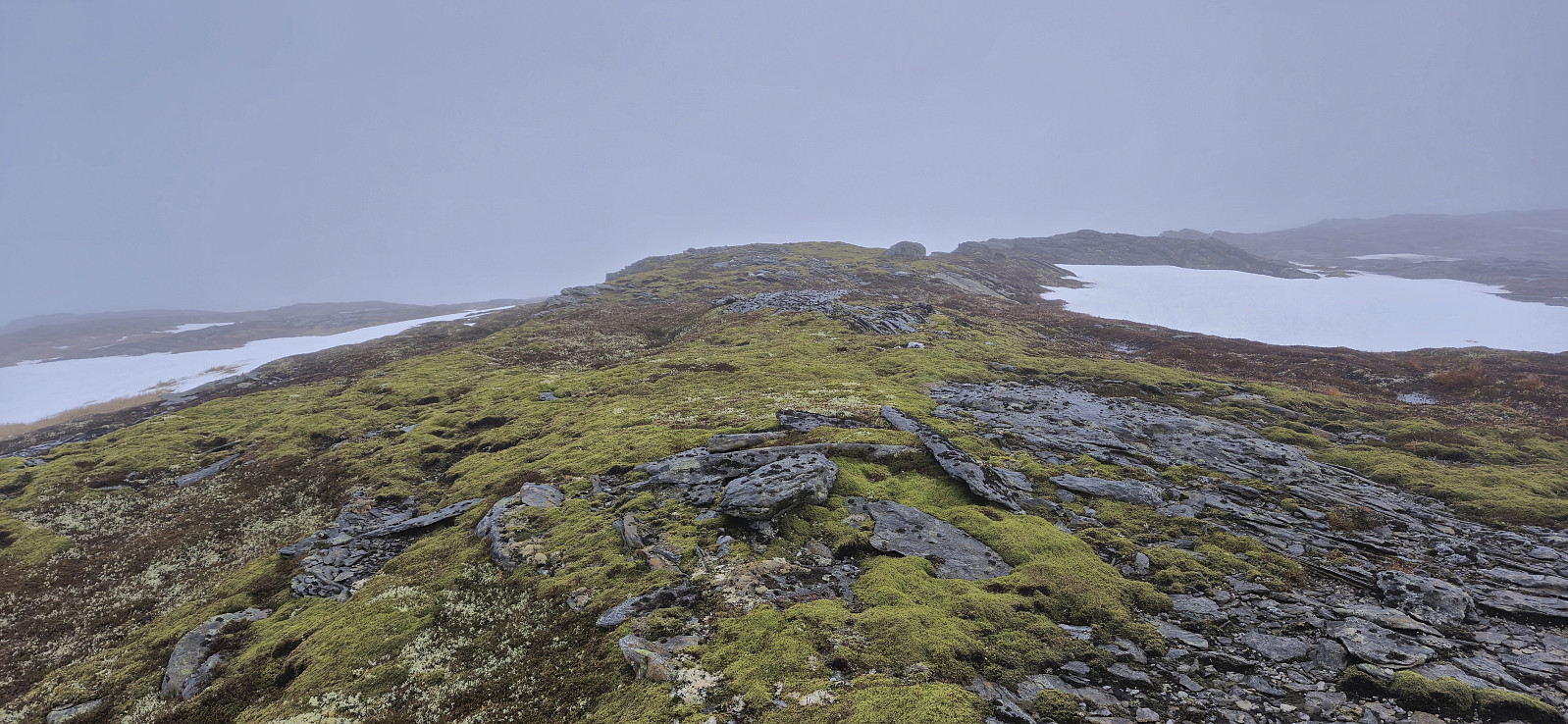 After three days on the couch due to a bad cold, I recovered just in time for a short Saturday hike to Morkafjellet with Petter and Endre . Petter picked me up at my place at 08:00 and we met up with Endre at the surprisingly large parking lot at Verpelstad a bit more than an hour later.
Thanks to an external report we easily located the unmarked trailhead behind the houses just northeast of the parking lot and from there followed a partially marked trail all the way to Verpelstadstølen (except for doing our own "shortcut" just below the cabin when briefly losing the trail, see the return track for the correct route).
From Verpelstadstølen there was a weaker trail up the first steep slope but soon we were simply making our own way towards the summit. There were several large patches of snow that had to be crossed but there was significantly less snow than expected for the middle of >>>
After three days on the couch due to a bad cold, I recovered just in time for a short Saturday hike to Morkafjellet with Petter and Endre . Petter picked me up at my place at 08:00 and we met up with Endre at the surprisingly large parking lot at Verpelstad a bit more than an hour later.
Thanks to an external report we easily located the unmarked trailhead behind the houses just northeast of the parking lot and from there followed a partially marked trail all the way to Verpelstadstølen (except for doing our own "shortcut" just below the cabin when briefly losing the trail, see the return track for the correct route).
From Verpelstadstølen there was a weaker trail up the first steep slope but soon we were simply making our own way towards the summit. There were several large patches of snow that had to be crossed but there was significantly less snow than expected for the middle of >>>
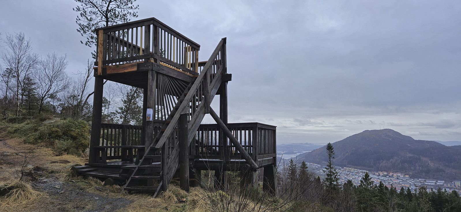
Fjellveien, Gamle Bergen and Hellen festning
- Datum:
- 12.01.2025
- Tourcharakter:
- Wanderung
- Tourlänge:
- 2:06h
- Entfernung:
- 8,3km
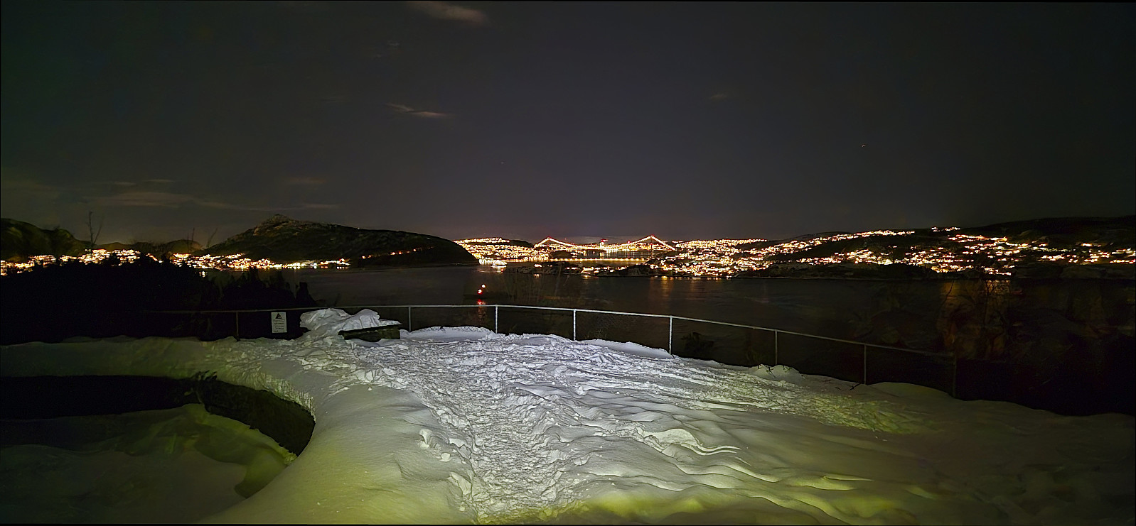
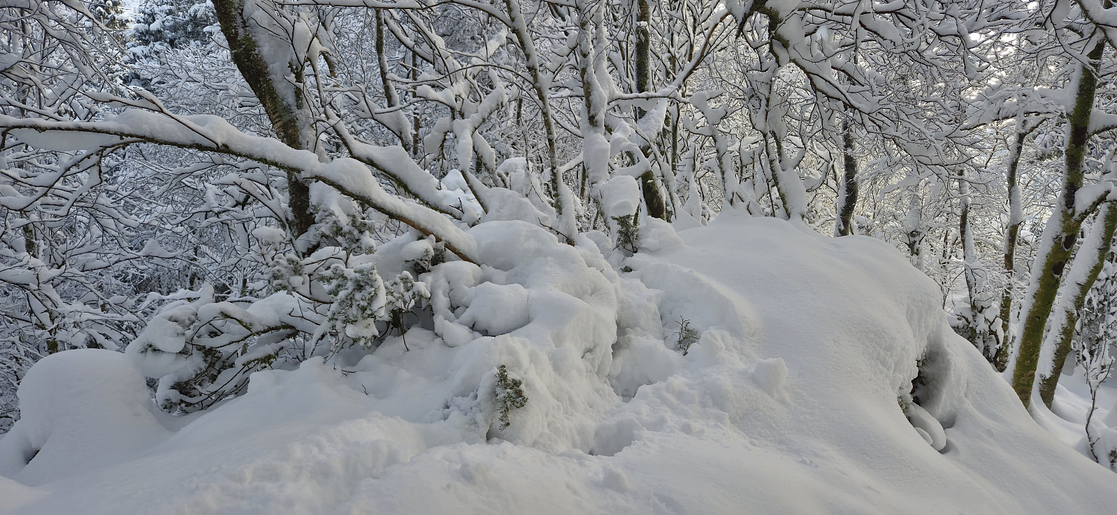
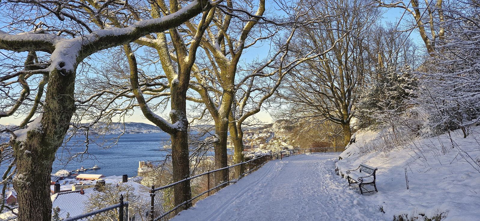
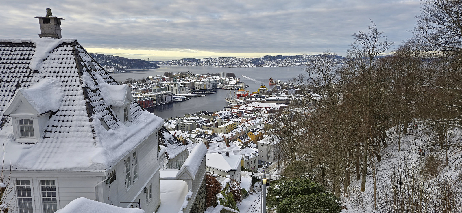 Local Sunday hike on the last day before the recent snow will most likely all melt away given the upcoming heavy rain showers.
Kubrekka from Nedre Sandven
- Datum:
- 11.01.2025
- Tourcharakter:
- Bergtour
- Tourlänge:
- 1:52h
- Entfernung:
- 4,8km
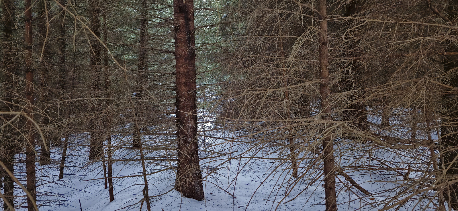 When my initial plan to ski across Vidden was cancelled after seeing a picture of how little snow was left at Rundemanen , I instead went for yet another minor peak on the Alle topper i Bergen list , namely Kubrekka . I started from the bus stop at Nedre Sandven and from there followed the snow-covered gravel road north until being less than 200 meters from the summit. I then put on the gaiters and headed off-trail towards the summit in knee-deep snow. As I got closer to the summit the deep snow was replaced by a dense forest of spruce trees with tons of dry branches trying to block the way. The summit itself had no views and is generally of no interest to normal hikers. I returned the same way and then took the bus back home from Øvre Sandven.
Across Hellen festning
- Datum:
- 09.01.2025
- Tourcharakter:
- Wanderung
- Tourlänge:
- 0:42h
- Entfernung:
- 3,2km
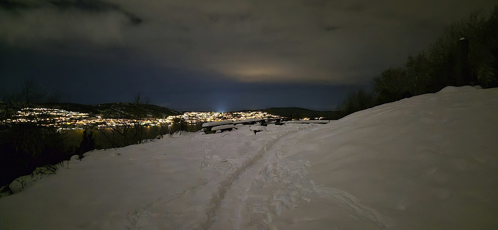 Short local evening hike.
Across Hellen festning
- Datum:
- 07.01.2025
- Tourcharakter:
- Wanderung
- Tourlänge:
- 0:44h
- Entfernung:
- 3,2km
 Short local evening hike in the snow.
Søyleåsen and Storeklubben
- Datum:
- 04.01.2025
- Tourcharakter:
- Bergtour
- Tourlänge:
- 1:39h
- Entfernung:
- 5,0km
 A short winter adventure in Arna to ascend two recently added peaks on the Alle topper i Bergen list . I got off the bus at "Haukeland sør" and after a short walk south along the main road I started my ascent to Søyleåsen , first along the road up to the house south of the summit and then off-trail in knee-deep snow to the highest point. No views from the summit but a nice view across Søylevatnet could be obtained further south.
I followed my footprints back to the main road and then headed east to Eikeli and Storeklubben . The area on the west side of the road north of the houses was blocked by an electric fence and I therefore continued another 200 meters before beginning my off-trail ascent, also here in deep snow. The summit was easily reached and was thankfully just outside the fenced area. Limited views and I quickly returned >>>
A short winter adventure in Arna to ascend two recently added peaks on the Alle topper i Bergen list . I got off the bus at "Haukeland sør" and after a short walk south along the main road I started my ascent to Søyleåsen , first along the road up to the house south of the summit and then off-trail in knee-deep snow to the highest point. No views from the summit but a nice view across Søylevatnet could be obtained further south.
I followed my footprints back to the main road and then headed east to Eikeli and Storeklubben . The area on the west side of the road north of the houses was blocked by an electric fence and I therefore continued another 200 meters before beginning my off-trail ascent, also here in deep snow. The summit was easily reached and was thankfully just outside the fenced area. Limited views and I quickly returned >>>
Sandvikstorget to Lønborg
- Datum:
- 01.01.2025
- Tourcharakter:
- Wanderung
- Tourlänge:
- 1:45h
- Entfernung:
- 7,1km
 Local hike in new snow on the first day of 2025.
Across Hellen festning
- Datum:
- 31.12.2024
- Tourcharakter:
- Wanderung
- Tourlänge:
- 0:38h
- Entfernung:
- 3,2km
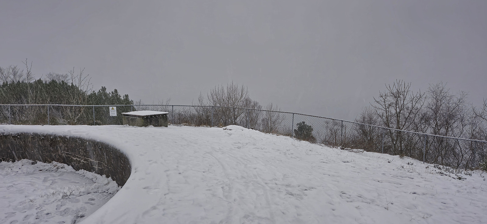 Short local hike across a snow-covered Hellen festning on the last day of 2024.
Stemmesegga from Haus terminal
- Datum:
- 30.12.2024
- Tourcharakter:
- Bergtour
- Tourlänge:
- 3:21h
- Entfernung:
- 10,2km
 A revisit of Stemmesegga at Osterøy for the same reason as my recent revisit of Liafjellet , i.e. to make sure that I had in fact visited the highest point. I started from Haus bus terminal and from there took the steep shortcut via Nedre Verkane to Verkane before following the road up to the marked trailhead. The wet trail was largely covered by snow and thus most likely more difficult to spot than usual. I still managed to ascend to the summit area without too much trouble. The highest point was easily located around 140 meters north of the large cairn, a location I do not remember passing by on my previous visit. After a couple of pictures I descended southeast to Mjelddalen, where the final stretch took longer than expected due lots of traces of recent logging activity. I therefore did not make the planned bus and instead extended the hike >>>
Søre Midtfjellet and Skredderdalen
- Datum:
- 29.12.2024
- Tourcharakter:
- Bergtour
- Tourlänge:
- 1:50h
- Entfernung:
- 7,7km
 Sunday hike from Starefossen to Munkebotn via Søre Midtfjellet and Skredderdalen. Made it to Fjellveien before it started raining.
