Archive - Date
Archive - Activity
-
Bike trip (111)
- Bike trip - mixed (25)
- Bike trip - road (86)
-
Drive (9)
- Car drive (9)
-
Other trip (3)
- Kayaking (3)
-
Ski trip (116)
- Backcountry skiing (69)
- Cross-country skiing (47)
- Trip by foot (1897)
Collected lists
-
Utvalgte topper og turmål i Bergen
(349/351)
 99%
99% -
Alle topper i Bergen
(393/400)
98%
-
Voss ≥ 100m pf.
(96/98)
97%
-
Opptur Hordaland
(144/159)
90%
-
Stasjoner på Bergensbanen
(33/40)
82%
-
Ulvik ≥ 100m pf.
(30/38)
78%
-
Hordaland ≥ 100m pf.
(624/863)
72%
-
Mjølfjell PF > 100m
(21/31)
67%
-
Jondal ≥ 100m pf.
(15/23)
65%
-
Dagsturhyttene i Vestland
(36/61)
59%
-
Sunnhordland PF >= 100m
(105/186)
56%
-
Hordaland: Hardanger PF>=100m
(196/359)
54%
-
DNT-hytter i Hordaland
(23/45)
51%
-
Kvinnherad ≥ 100m pf.
(40/79)
50%
-
Eidfjord ≥ 100m pf.
(13/42)
30%
-
Sogndal ≥ 100m pf.
(23/81)
28%
-
Gulen ≥ 100m pf.
(15/54)
27%
-
Vik i Sogn ≥ 100m pf.
(10/46)
21%
-
Sogn - Sør for Sognefjorden PF>=100m
(31/159)
19%
-
DNT-hytter i Sogn og Fjordane
(8/47)
17%

Ørneberget and Furukammen
- Date:
- 14.02.2022
- Characteristic:
- Hillwalk
- Duration:
- 1:07h
- Distance:
- 4.2km
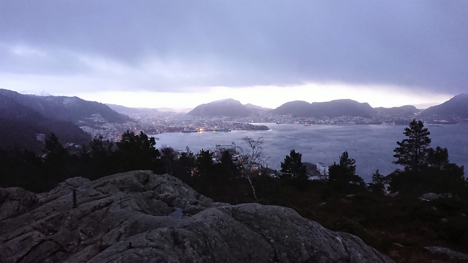
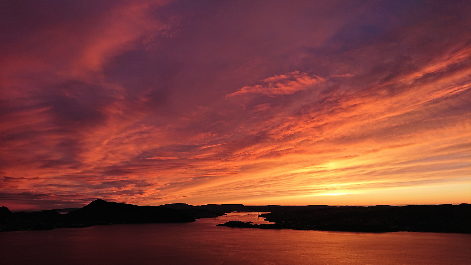 Short local hike after work to catch the sunset at Ørneberget.
Fagerdalsskaret, Ørneberget and Rognåsen
- Date:
- 13.02.2022
- Characteristic:
- Hillwalk
- Duration:
- 1:45h
- Distance:
- 7.1km
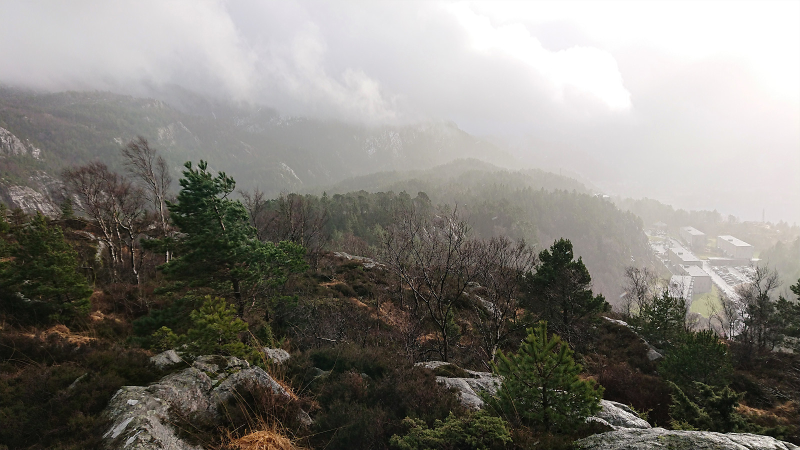 Local Sunday hike in much better weather than expected.
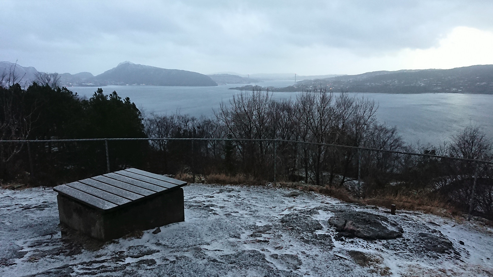
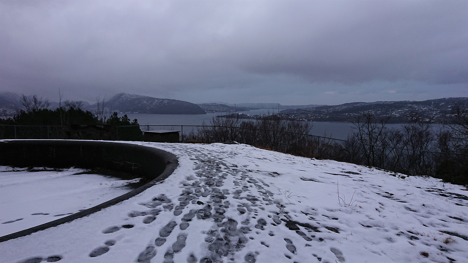
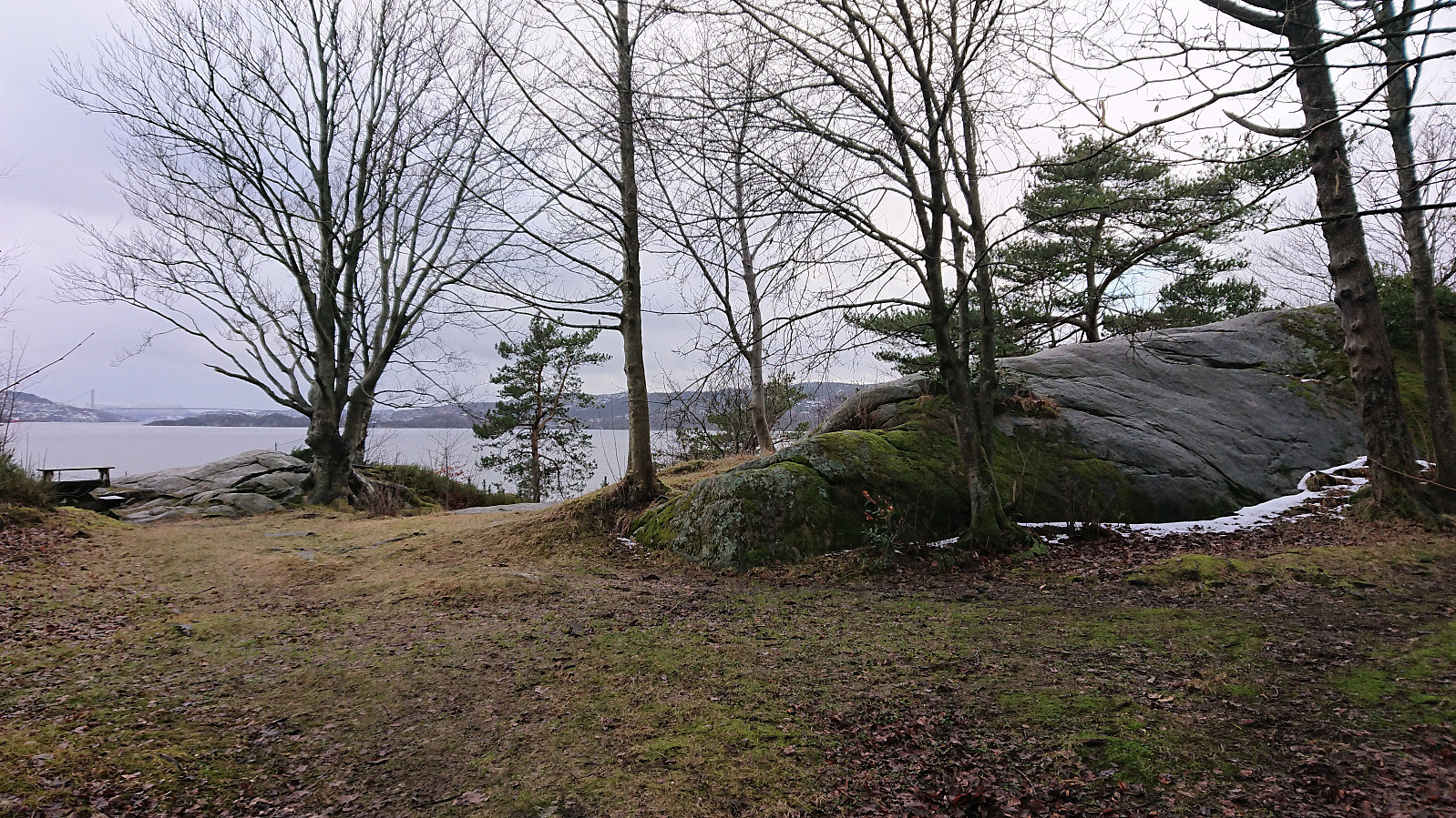
Across Hellen festning
- Date:
- 12.02.2022
- Characteristic:
- Hike
- Duration:
- 0:36h
- Distance:
- 3.2km
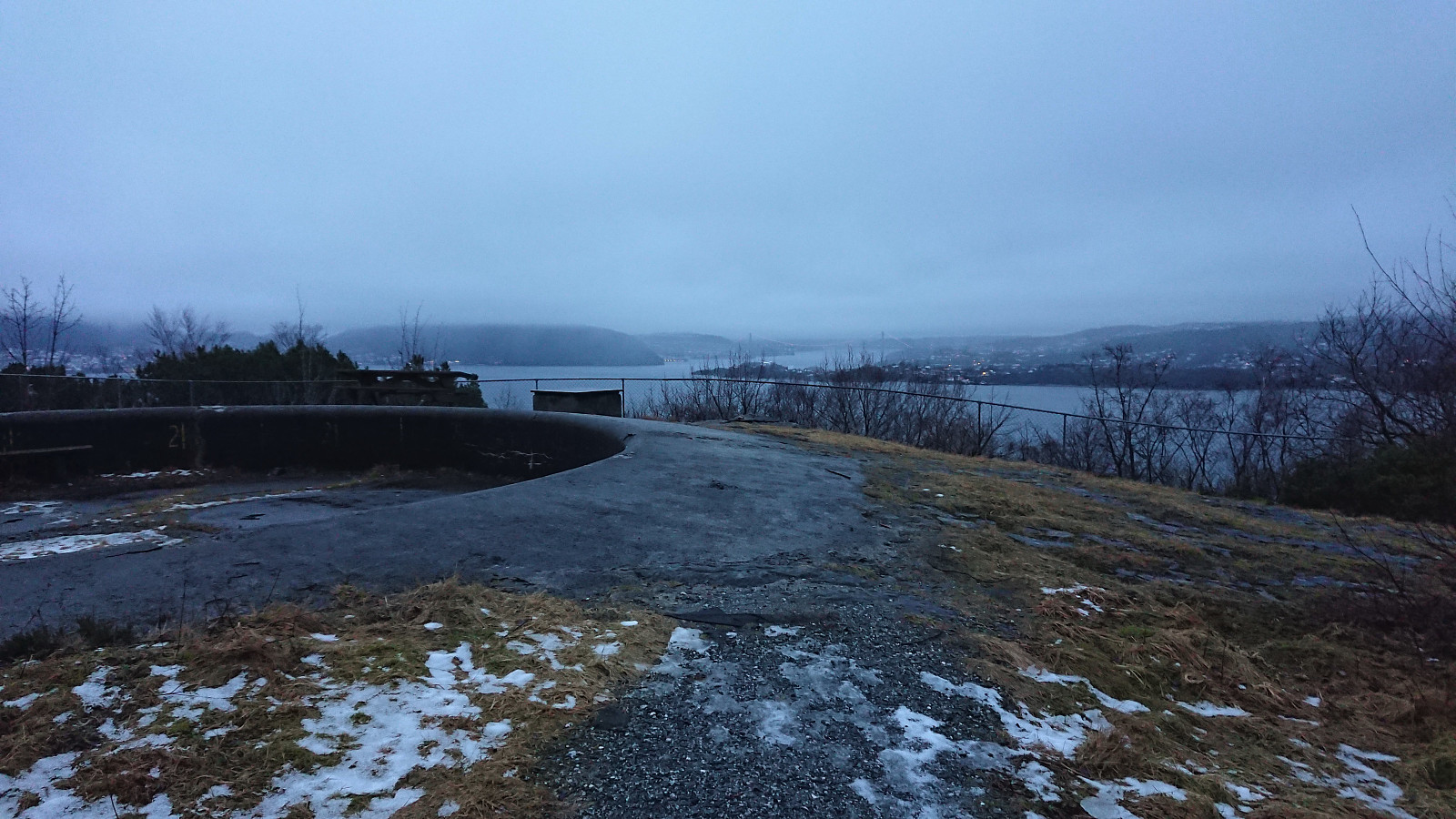
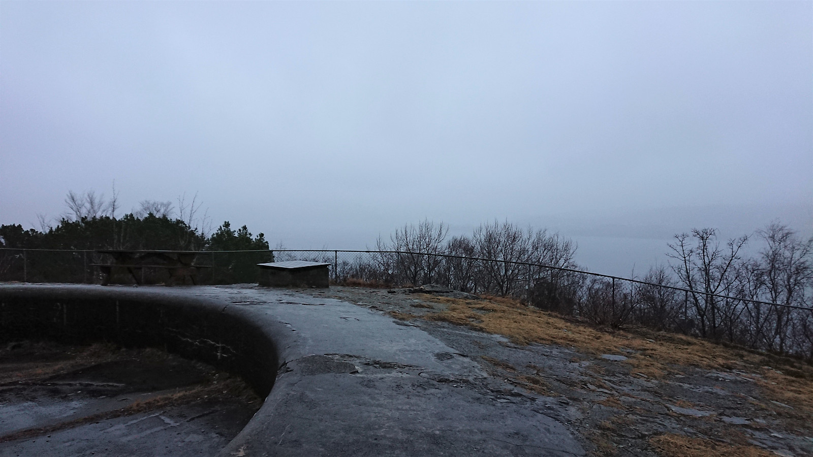 Short local hike on yet another wet and gray Saturday.
Skiing at Fløyen
- Date:
- 11.02.2022
- Characteristic:
- Cross-country skiing
- Duration:
- 4:09h
- Distance:
- 17.8km
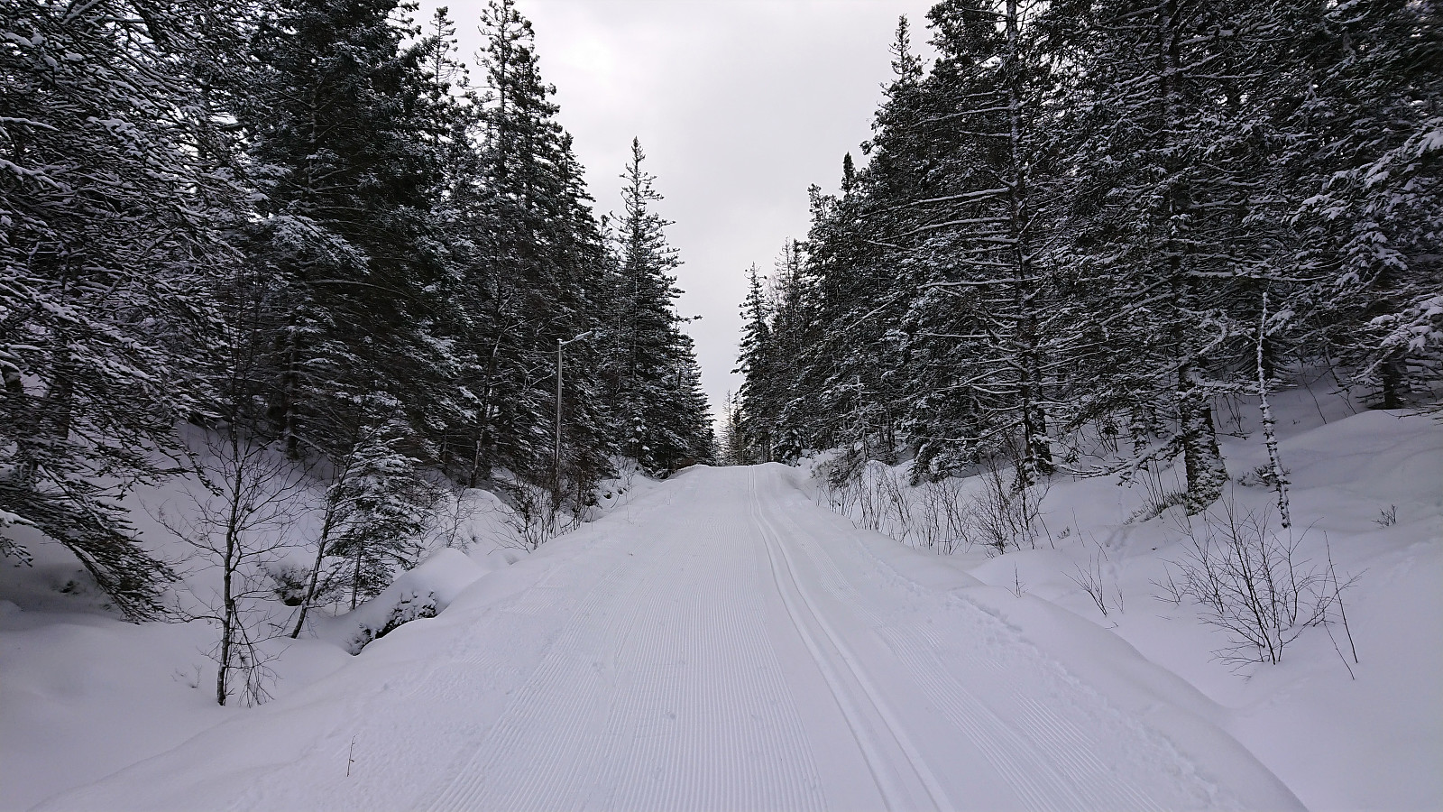 The first skiing trip of 2022! After inspecting the weather forecast for the coming weekend it was very clear that if the recent snow at Fløyen was to be enjoyed at all before it would most likely disappear, it would have to be on the Friday. I therefore pushed all my planned work to the rainy weekend and instead headed for Fløyen via the bus to Starefossen (given that Fløibanen was currently getting an upgrade and not operational). The skis came on just below Skomakerdiket and stayed on until just above Munkebotsvatnet. Except for the last stretch, the skiing conditions were close to perfect! Too bad that most of the snow will probably all be gone after the next couple of rainy days...
Across Hellen festning
- Date:
- 09.02.2022
- Characteristic:
- Hike
- Duration:
- 0:40h
- Distance:
- 3.5km
 Short local hike before it got dark, managing to avoid most of the hail showers.
Across Hellen festning
- Date:
- 07.02.2022
- Characteristic:
- Hike
- Duration:
- 0:36h
- Distance:
- 3.1km
 Short local hike before it got dark.
Utnehagen and Hellemyrstien
- Date:
- 06.02.2022
- Characteristic:
- Hike
- Duration:
- 2:25h
- Distance:
- 10.4km
 From a recent trip report by Kjell51 (Kjell Øijorden) I was made aware of a local area I had not yet visited, namely Utnehagen just north of Biskopshavn. So on a Sunday where the weather forecast recommended staying away from high peaks due to increased chances of lightning strikes (which in the end did not materialize), I took the advice and headed for Utnehagen instead. As an extra bonus I came across an old ruin and an accompanying sign indicating that the location had originally been called Venehaugen . After brief visits of Biskopshavn and Fagernes, I headed home via Skytterveien and Hellemyrstien.
Åstveitskogen, Hestaberget and Griggastemma
- Date:
- 05.02.2022
- Characteristic:
- Hillwalk
- Duration:
- 2:20h
- Distance:
- 9.1km
 On a Saturday where the weather forecast was not very suitable for longer hikes, at least not those also requiring travelling, I decided to rather go for an exploration of Åstveitskogen - an area close by that I had not previously visited. I started by taking the bus to Åstveit and getting off at the stop called "Åstveitvegen". After a short walk along the road I easily located the unmarked trailhead into Åstveitskogen and shortly passed by a shelter with a sign that said "Hundremeterskogen".
Plenty of trails/gravel roads to choose from and I made a quick visit of Åstveitvatnet, or Kanalen as it was called on the signs, before heading north and following a marked trail towards Hestaberget . The summit itself had very limited views, but there was a spot about 200 meters west of the summit with nice views to the south and >>>
On a Saturday where the weather forecast was not very suitable for longer hikes, at least not those also requiring travelling, I decided to rather go for an exploration of Åstveitskogen - an area close by that I had not previously visited. I started by taking the bus to Åstveit and getting off at the stop called "Åstveitvegen". After a short walk along the road I easily located the unmarked trailhead into Åstveitskogen and shortly passed by a shelter with a sign that said "Hundremeterskogen".
Plenty of trails/gravel roads to choose from and I made a quick visit of Åstveitvatnet, or Kanalen as it was called on the signs, before heading north and following a marked trail towards Hestaberget . The summit itself had very limited views, but there was a spot about 200 meters west of the summit with nice views to the south and >>>
Fagerdalsskaret and Ørneberget
- Date:
- 04.02.2022
- Characteristic:
- Hillwalk
- Duration:
- 0:45h
- Distance:
- 3.0km
 Short local hike after work where I ended up in a snow/hail-shower with the sound of thunder from relatively close by.
Across Hellen festning
- Date:
- 03.02.2022
- Characteristic:
- Hike
- Duration:
- 0:34h
- Distance:
- 3.1km
 Short local hike after work.
