Archive - Date
Archive - Activity
-
Bike trip (111)
- Bike trip - mixed (25)
- Bike trip - road (86)
-
Drive (9)
- Car drive (9)
-
Other trip (3)
- Kayaking (3)
-
Ski trip (116)
- Backcountry skiing (69)
- Cross-country skiing (47)
- Trip by foot (1897)
Collected lists
-
Utvalgte topper og turmål i Bergen
(349/351)
 99%
99% -
Alle topper i Bergen
(393/400)
98%
-
Voss ≥ 100m pf.
(96/98)
97%
-
Opptur Hordaland
(144/159)
90%
-
Stasjoner på Bergensbanen
(33/40)
82%
-
Ulvik ≥ 100m pf.
(30/38)
78%
-
Hordaland ≥ 100m pf.
(624/863)
72%
-
Mjølfjell PF > 100m
(21/31)
67%
-
Jondal ≥ 100m pf.
(15/23)
65%
-
Dagsturhyttene i Vestland
(36/61)
59%
-
Sunnhordland PF >= 100m
(105/186)
56%
-
Hordaland: Hardanger PF>=100m
(196/359)
54%
-
DNT-hytter i Hordaland
(23/45)
51%
-
Kvinnherad ≥ 100m pf.
(40/79)
50%
-
Eidfjord ≥ 100m pf.
(13/42)
30%
-
Sogndal ≥ 100m pf.
(23/81)
28%
-
Gulen ≥ 100m pf.
(15/54)
27%
-
Vik i Sogn ≥ 100m pf.
(10/46)
21%
-
Sogn - Sør for Sognefjorden PF>=100m
(31/159)
19%
-
DNT-hytter i Sogn og Fjordane
(8/47)
17%

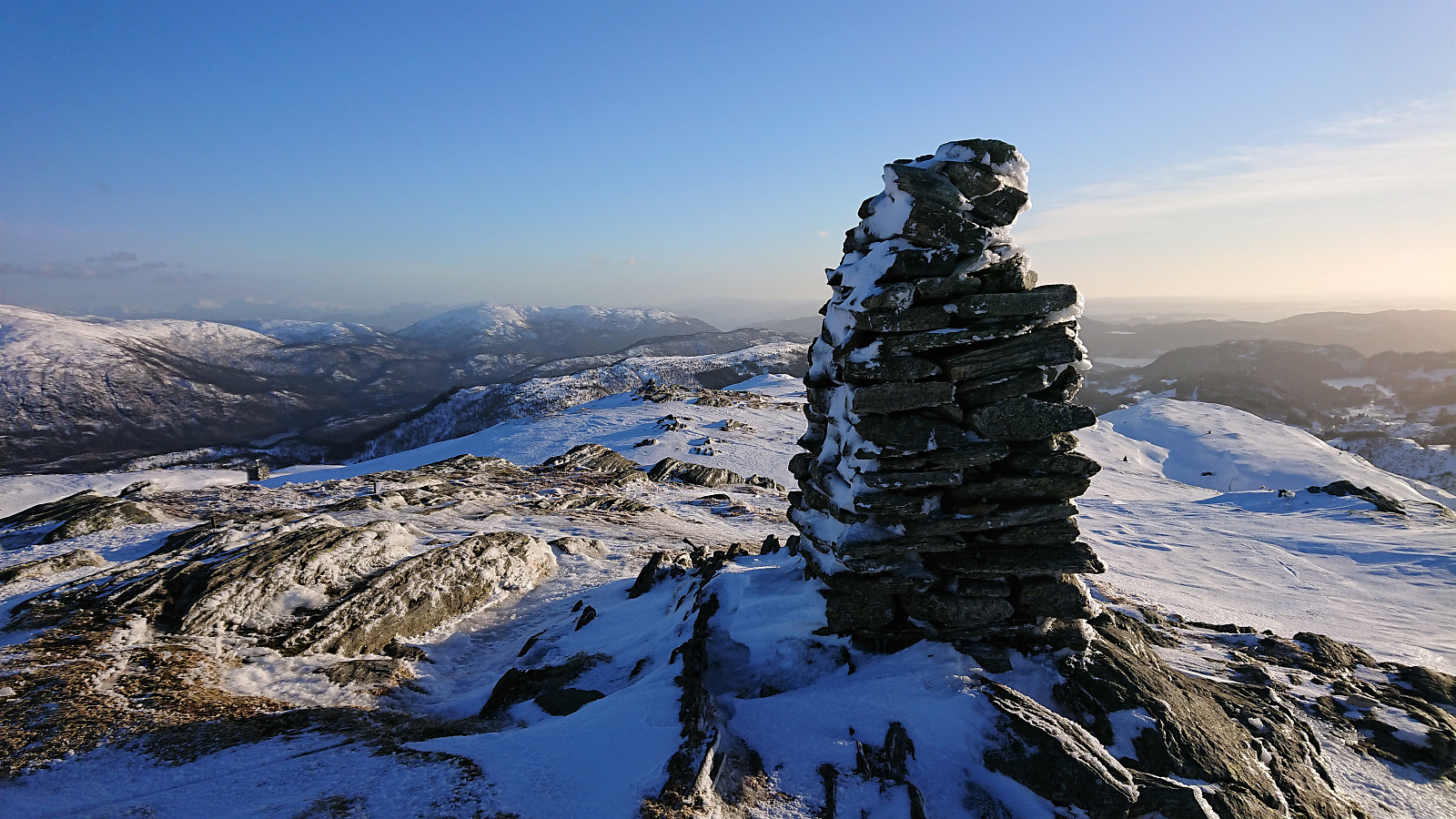
Hestfjellet from Storevatnet
- Date:
- 27.02.2022
- Characteristic:
- Hillwalk
- Duration:
- 3:52h
- Distance:
- 12.2km
 On a Sunday with strong winds at high altitudes, I decided to stay away from the most exposed summits and instead made yet another return to Masfjorden and Storevatnet. This time to visit Hestfjellet .
But after getting off the bus (at the bus stop called Nedre Storavatn), I however started to think that coming here today might have been a mistake, as the road towards Haugsdal was covered with ice and I was now walking into a headwind that I almost had to lean into in order to stay upright. Thankfully, I had brought my snow chains, which took care of the first problem, while it also did not take long before I was sheltered from the worst of the wind. Combined with the warmth from the sun it actually ended up as a rather pleasant walk towards the trailhead next to Kjetland.
The snow chains stayed on until >>>
On a Sunday with strong winds at high altitudes, I decided to stay away from the most exposed summits and instead made yet another return to Masfjorden and Storevatnet. This time to visit Hestfjellet .
But after getting off the bus (at the bus stop called Nedre Storavatn), I however started to think that coming here today might have been a mistake, as the road towards Haugsdal was covered with ice and I was now walking into a headwind that I almost had to lean into in order to stay upright. Thankfully, I had brought my snow chains, which took care of the first problem, while it also did not take long before I was sheltered from the worst of the wind. Combined with the warmth from the sun it actually ended up as a rather pleasant walk towards the trailhead next to Kjetland.
The snow chains stayed on until >>>
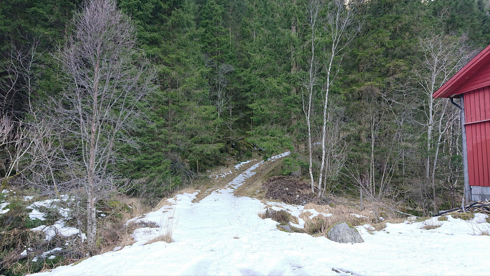
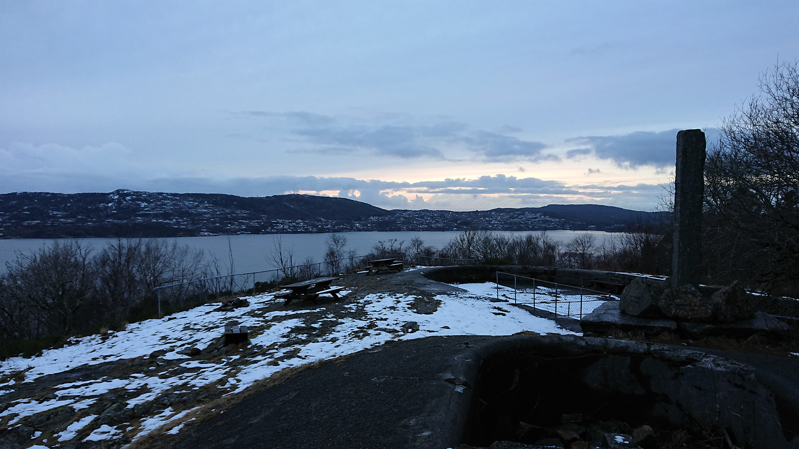
Ørneberget and Hellen festning
- Date:
- 26.02.2022
- Characteristic:
- Hillwalk
- Duration:
- 0:57h
- Distance:
- 4.1km
 Short local hike on an overall gray and windy Saturday.
Livarden from Frotveit via Rambjørgvatnet
- Date:
- 25.02.2022
- Characteristic:
- Backcountry skiing
- Duration:
- 4:00h
- Distance:
- 17.8km
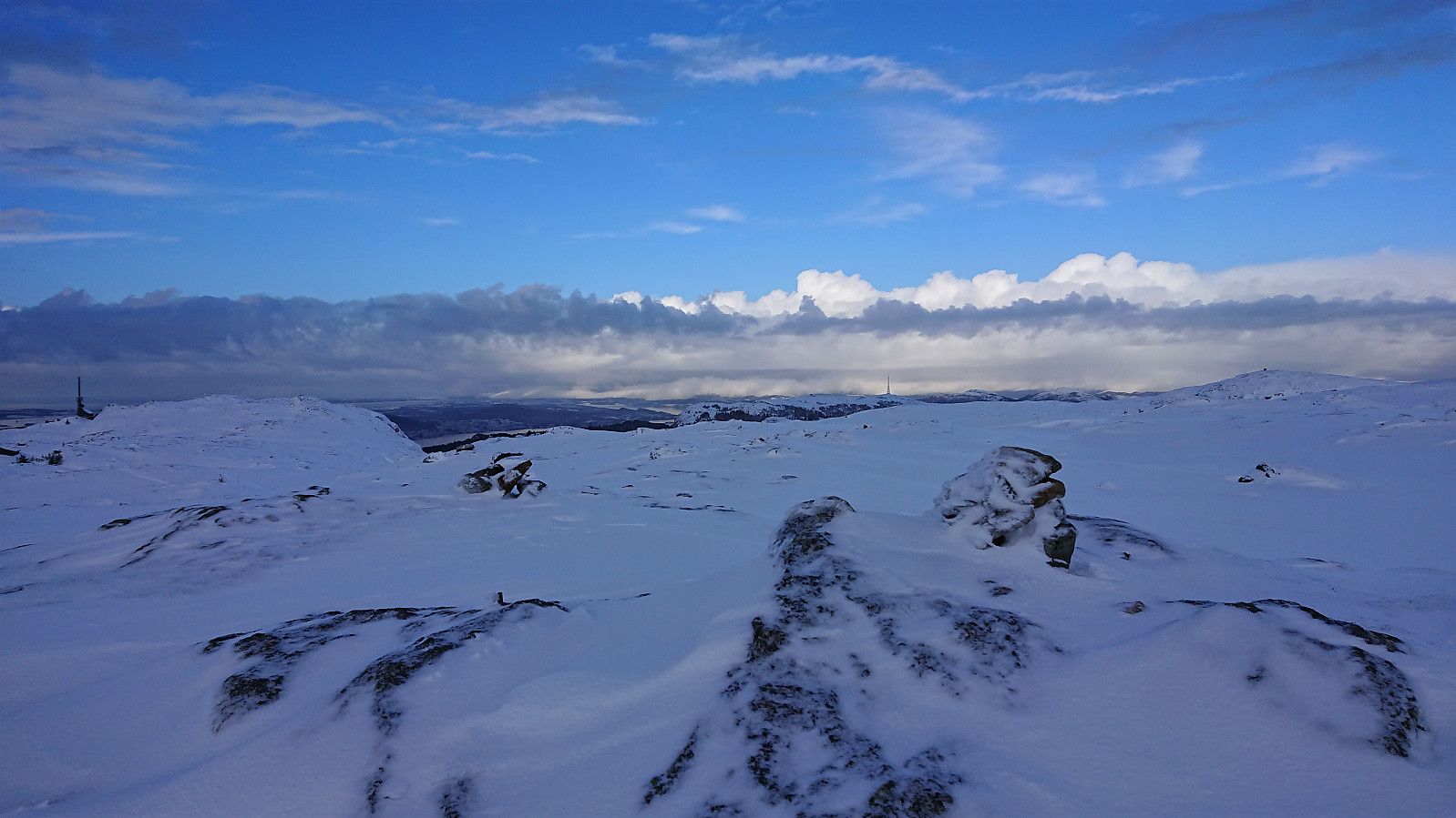
 Initial plans to ski across Vidden with a colleague was changed at the last minute due to strong northerly winds and we instead headed for Frotveit and Livarden . This turned out to be a good choice, as except for the final ascent to the summit we pretty much avoided the cold wind. The snow conditions were highly variable. Excellent along the ski tracks, icy in the areas northeast and south of the summit, and everything in between for the descent. Overall, a very nice roundtrip that can be highly recommended.
Hellen festning and Furukammen
- Date:
- 23.02.2022
- Characteristic:
- Hike
- Duration:
- 2:49h
- Distance:
- 4.5km
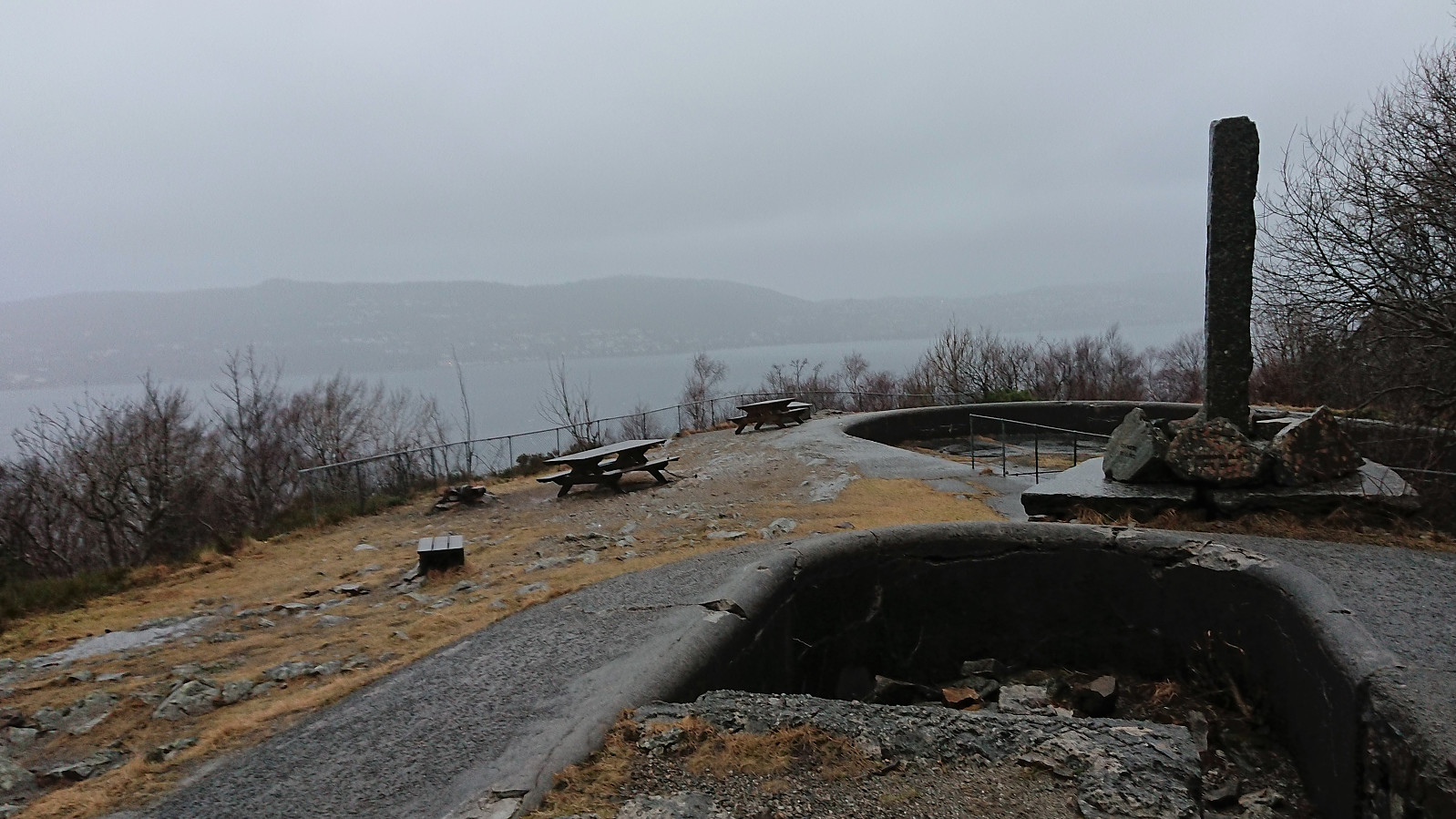 Short local hike after work in strong winds from the south.
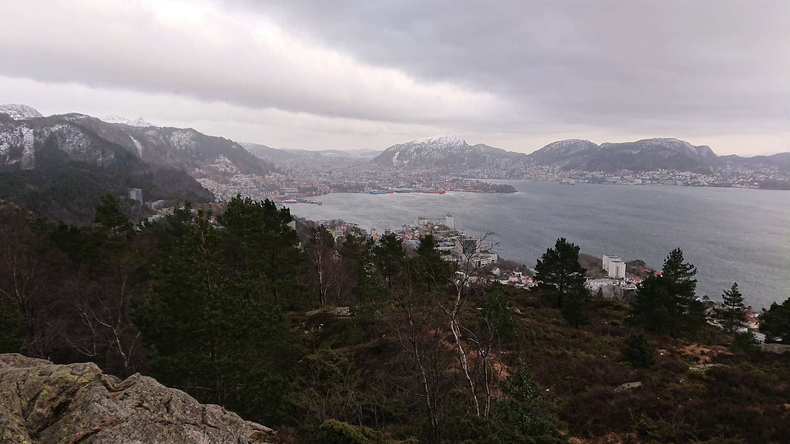
Skiing: Fløyen and Rundemanen
- Date:
- 21.02.2022
- Characteristic:
- Cross-country skiing
- Duration:
- 3:48h
- Distance:
- 18.0km
 Left work early to take advantage of the excellent afternoon weather forecast to go skiing. I started by taking the bus to Starefossen and walked up to Skomakerdiket. The skis came on just below Skomakerdiket and stayed on until the small dam north of Storevatnet. Perfect skiing conditions between Rundemanen and Blåmanen, except for a strong and cold wind from the north. Lysløypen was also quite good. Outside of those areas there was plenty of hard snow/ice with lots of footprints that made skiing slightly more difficult than usual.
Fjellveien, Furukammen and Hellen festning
- Date:
- 20.02.2022
- Characteristic:
- Hike
- Duration:
- 2:16h
- Distance:
- 8.6km
 Local Sunday hike with occasional snow showers along the way.
Skiing across Vidden
- Date:
- 19.02.2022
- Characteristic:
- Backcountry skiing
- Duration:
- 5:31h
- Distance:
- 21.5km
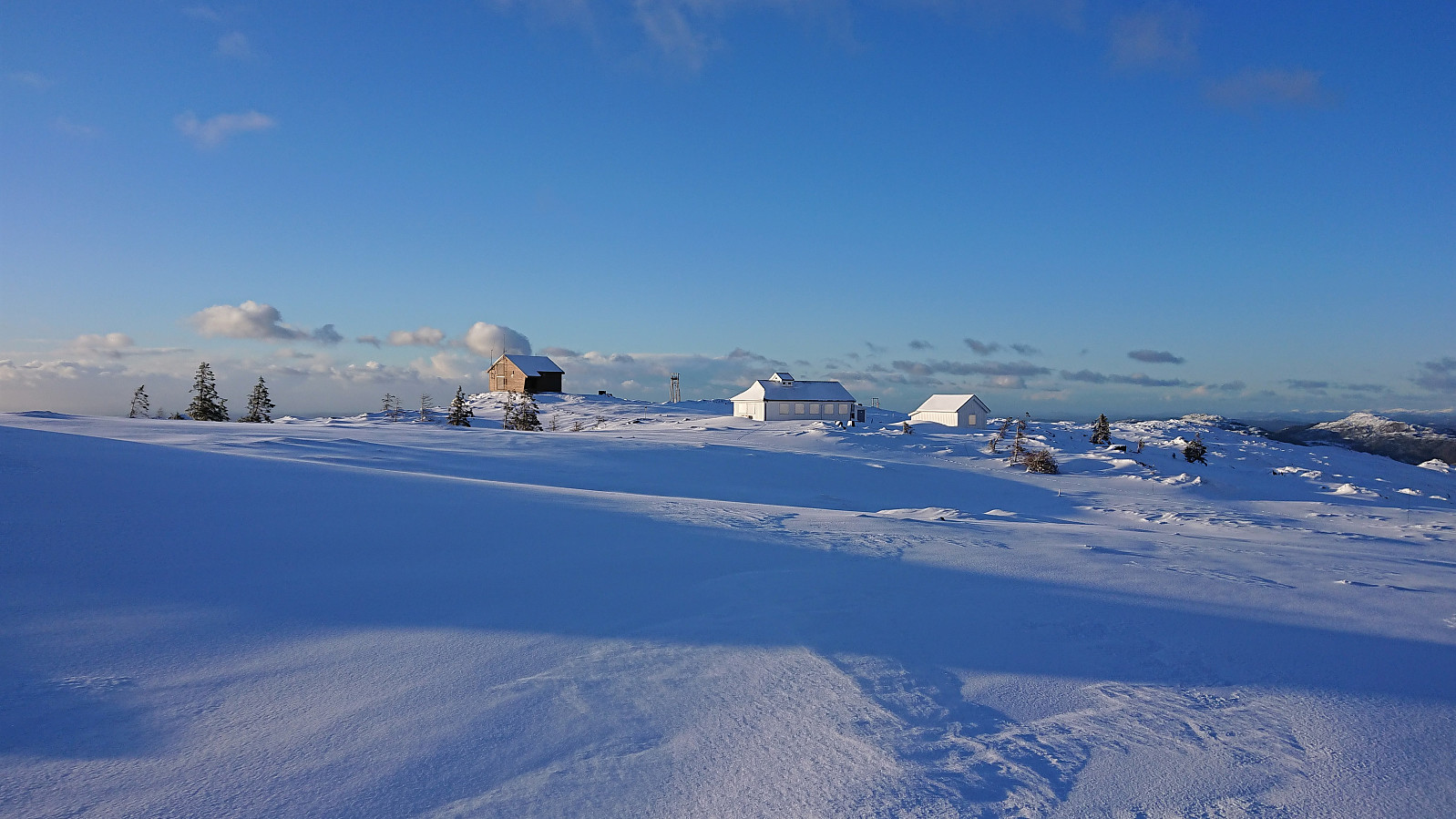
 With reports of excellent skiing conditions at Byfjellene in the local newspaper we decided on the usual skiing trip across Vidden. Thanks to Ulriksbanen (195 kr per person), we easily arrived at the upper station of the cable car where we could confirm that the conditions were in fact excellent! After a short detour via Turnerhytten and Byfjellenes høyeste punkt , we followed the standard skiing route across Vidden. The only real challenge being the dense fog accompanied by a snow shower occurring just as we started our ascent from Borgaskaret to Vardegga . But thankfully it did not last long and we could soon again enjoy the excellent condition when skiing down to Øvre Jordalsvatnet. The skis stayed on until the small dam north of Storevatnet. We could probably have continued a bit further, but the increasing number of small rocks sticking out of the snow made this less appealing. Overall, a close to perfect skiing trip at Byfjellene!
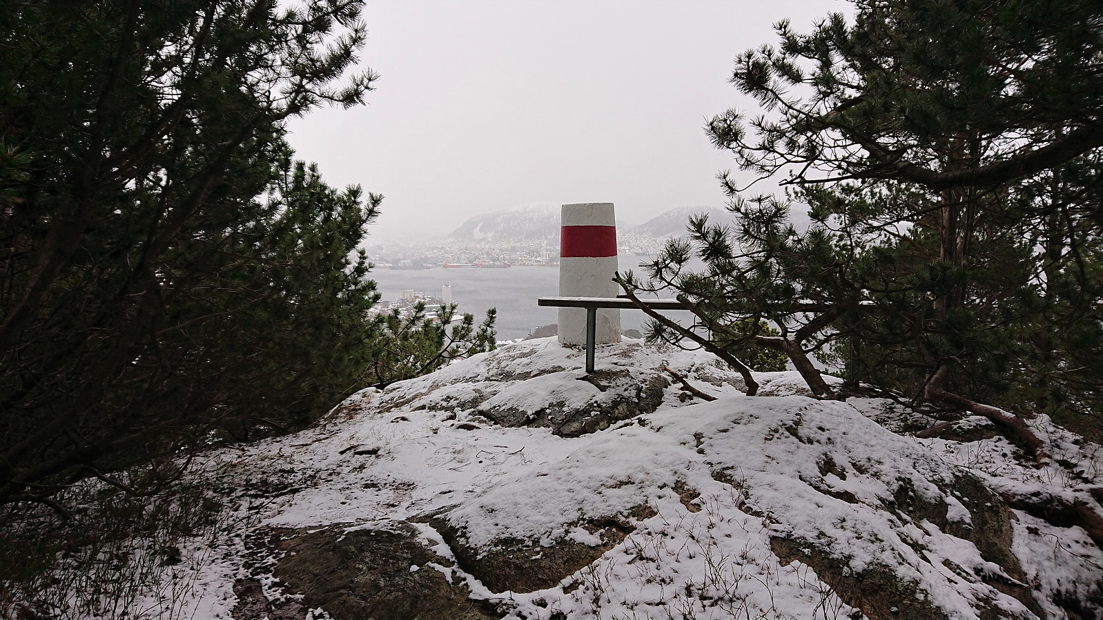
Across Hellen festning
- Date:
- 18.02.2022
- Characteristic:
- Hike
- Duration:
- 0:40h
- Distance:
- 3.5km
 Yet another short local hike after work.
Across Hellen festning
- Date:
- 17.02.2022
- Characteristic:
- Hike
- Duration:
- 0:41h
- Distance:
- 3.6km
 Short local hike before it got dark.
Across Hellen festning
- Date:
- 16.02.2022
- Characteristic:
- Hike
- Duration:
- 0:35h
- Distance:
- 3.1km
 Short local hike before it got dark.
