Archive - Date
Archive - Activity
-
Bike trip (97)
- Bike trip - mixed (22)
- Bike trip - road (75)
-
Drive (6)
- Car drive (6)
-
Other trip (2)
- Kayaking (2)
-
Ski trip (98)
- Backcountry skiing (59)
- Cross-country skiing (39)
- Trip by foot (1475)
Collected lists
-
Utvalgte topper og turmål i Bergen
(300/306)
 98%
98% -
Øytopper Hordaland
(26/27)
96%
-
Alle topper i Bergen
(334/350)
95%
-
Vaksdal ≥ 100m pf.
(58/63)
92%
-
Søyler (fastmerker) i Bergen
(91/100)
91%
-
Nordhordland PF >= 100m
(197/221)
89%
-
Fitjar ≥ 100m pf.
(6/7)
85%
-
Opptur Hordaland
(133/159)
83%
-
Modalen ≥ 100m pf.
(23/30)
76%
-
Hordaland ≥ 500m pf.
(23/30)
76%
-
Masfjorden ≥ 100m pf.
(42/55)
76%
-
Kvam ≥ 100m pf.
(32/44)
72%
-
Stasjoner på Bergensbanen
(26/36)
72%
-
Voss ≥ 100m pf.
(67/97)
69%
-
Hordaland ≥ 100m pf.
(500/862)
58%
-
Dagsturhyttene i Vestland
(31/60)
51%
-
Sunnhordland PF >= 100m
(82/186)
44%
-
DNT-hytter i Hordaland
(18/45)
40%
-
Kvinnherad ≥ 100m pf.
(26/79)
32%
-
Hordaland: Hardanger PF>=100m
(116/357)
32%

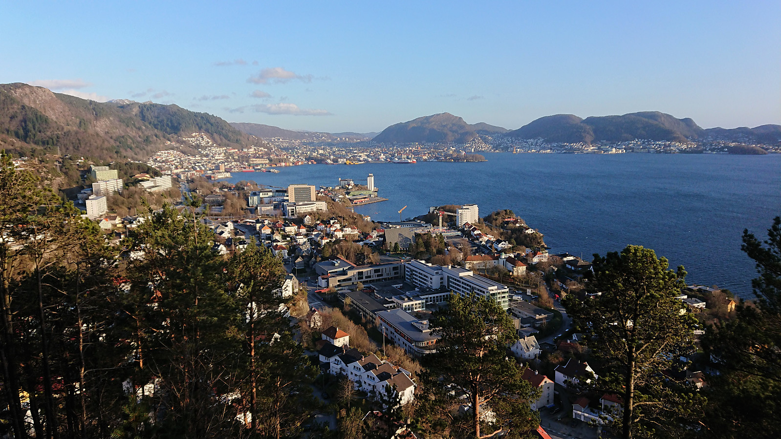
Ørneberget and Rognåsen
- Date:
- 30.04.2021
- Characteristic:
- Hillwalk
- Duration:
- 2:55h
- Distance:
- 5.3km
 Short local evening hike.
Hellen festning and Hellemyrstien
- Date:
- 29.04.2021
- Characteristic:
- Hike
- Duration:
- 1:44h
- Distance:
- 9.3km
 Local evening hike.
Cycling: Mindebakkentoppen
- Date:
- 28.04.2021
- Characteristic:
- Bike trip - mixed
- Duration:
- 2:39h
- Distance:
- 29.0km
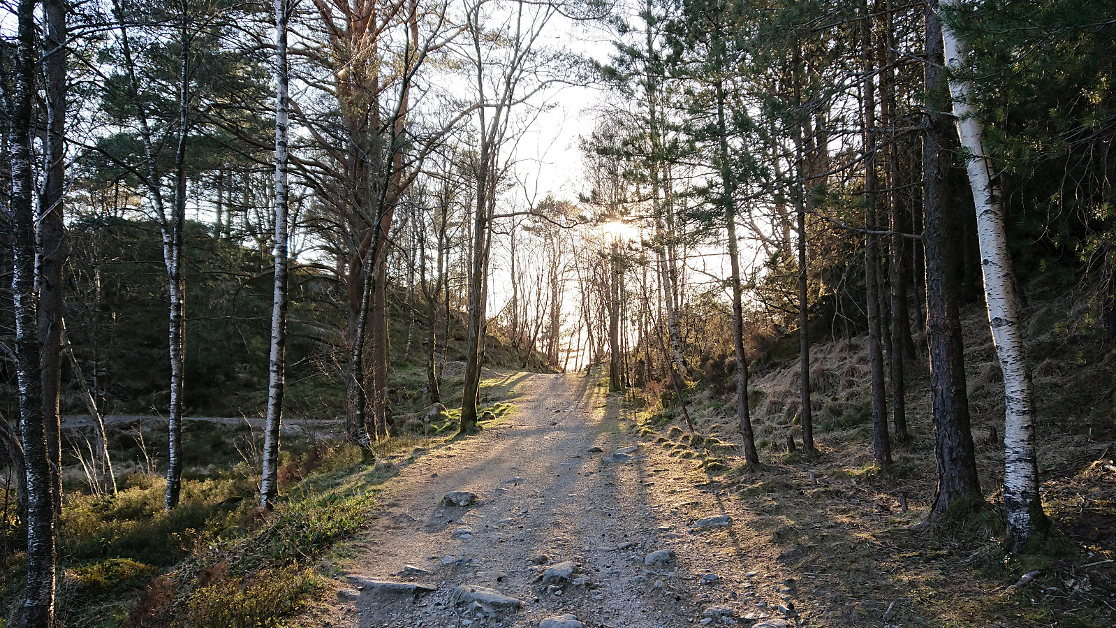
 Evening cycling and hiking trip for a visit of Mindebakkentoppen . I left the bike behind at the bend in Løvstien north of Lisahaugen , from where I continued on foot along a very enjoyable trail marked for Løvstakken . The trail followed a relatively narrow pine-covered ridge which at times even requiring a bit of very light scrambling.
Shortly after passing Langatjørna, I turned east towards the summit. First along a weak trail, and later in a more direct route requiring light scrambling. Not sure if I lost the trail or if the scrambling was indeed part of the trail. At the summit ridge there was however a very clear north-south trail, indicating that my ascent route is probably not the most common option. (More on the history of Mindebakken can be found here and here .)
After a quick visit to the summit, which provided very limited views, >>>
Evening cycling and hiking trip for a visit of Mindebakkentoppen . I left the bike behind at the bend in Løvstien north of Lisahaugen , from where I continued on foot along a very enjoyable trail marked for Løvstakken . The trail followed a relatively narrow pine-covered ridge which at times even requiring a bit of very light scrambling.
Shortly after passing Langatjørna, I turned east towards the summit. First along a weak trail, and later in a more direct route requiring light scrambling. Not sure if I lost the trail or if the scrambling was indeed part of the trail. At the summit ridge there was however a very clear north-south trail, indicating that my ascent route is probably not the most common option. (More on the history of Mindebakken can be found here and here .)
After a quick visit to the summit, which provided very limited views, >>>
Searching for Fjeldborg - Part III
- Date:
- 27.04.2021
- Characteristic:
- Hillwalk
- Duration:
- 3:16h
- Distance:
- 8.7km
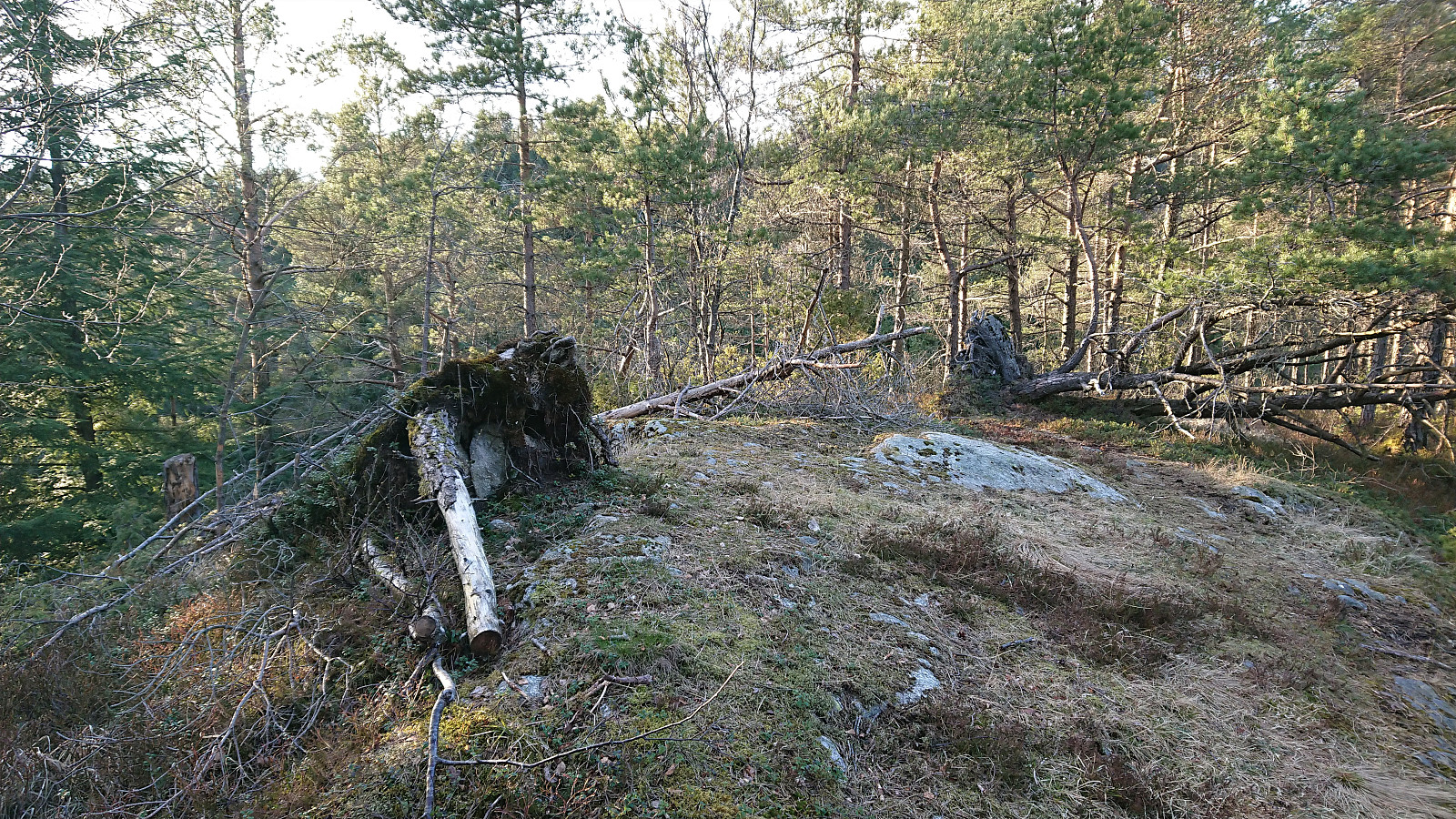
 Another return to Landåsfjellet to continue my search for the ruins of Fjeldborg (see my two earlier attempts here and here ), this time mainly focusing on the area south/southwest of Berlehytten . Fewer locations to inspect here, as the terrain is generally too steep to match the pictures in Bergensernes Fjellverden II, but no success this time either. In order to get something new out of the hike, I then headed for the suggested location of Jotneberg d.e. as Kjell51 (Kjell Øijorden) had indicated in his trip report a month earlier . The suggested spot was easily located, although I could not find any traces of the cabin itself, probably due to most of it having been reused when building the new Jotneberg close by. Before heading home, I also made a detour to the summit of Landåsfjellet before enjoying some excellent views across Nubbevatnet as the sun finally decided to appear. The hike was then concluded by crossing >>>
Hellen festning and Ørneberget
- Date:
- 26.04.2021
- Characteristic:
- Hillwalk
- Duration:
- 1:34h
- Distance:
- 6.8km
 Short local evening hike, managing to pick just the one hour when it rained...
Cycling: Nordåsvatnet and Storrinden
- Date:
- 25.04.2021
- Characteristic:
- Bike trip - road
- Duration:
- 4:12h
- Distance:
- 52.5km
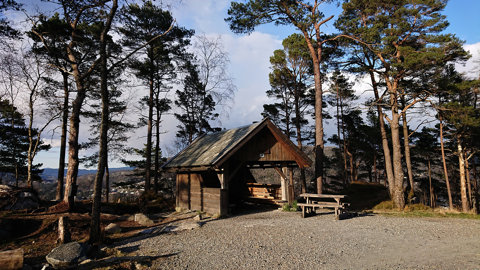
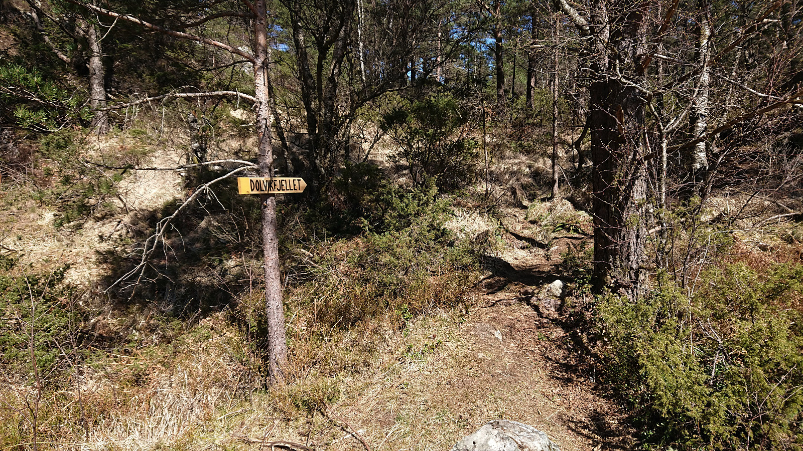 Cycling trip around Nordåsvatnet that included a revisit of Storrinden and the excellent views from southwest of the summit . When descending from Storrinden I made a quick detour on foot to Dolvikfjellet , easily reached via a marked trail, although the views from the summit were limited. Before starting my return journey, I made a short visit of Skranehovden , ascending from the northwest (again leaving the bike behind), thus avoiding the feeling of going through someone's backyard that the ascent from the south seemed to include. To my surprise the small hill was packed with people enjoying the nice weather, most likely as the forested summit area provided shelter from the cold northerly wind. But all the trees also meant that the views were rather limited, however some very nice views towards Knappen and Lyderhorn could be obtained if heading north of the summit.
Gullbotn to Espeland via Gullfjelltoppen
- Date:
- 24.04.2021
- Characteristic:
- Backcountry skiing
- Duration:
- 6:10h
- Distance:
- 20.4km
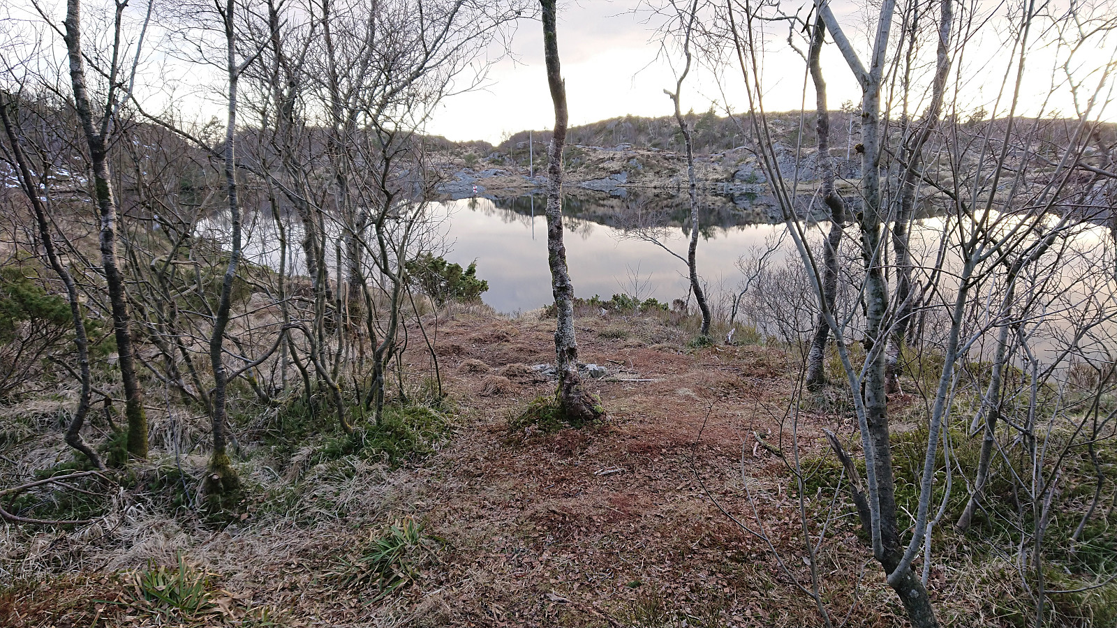
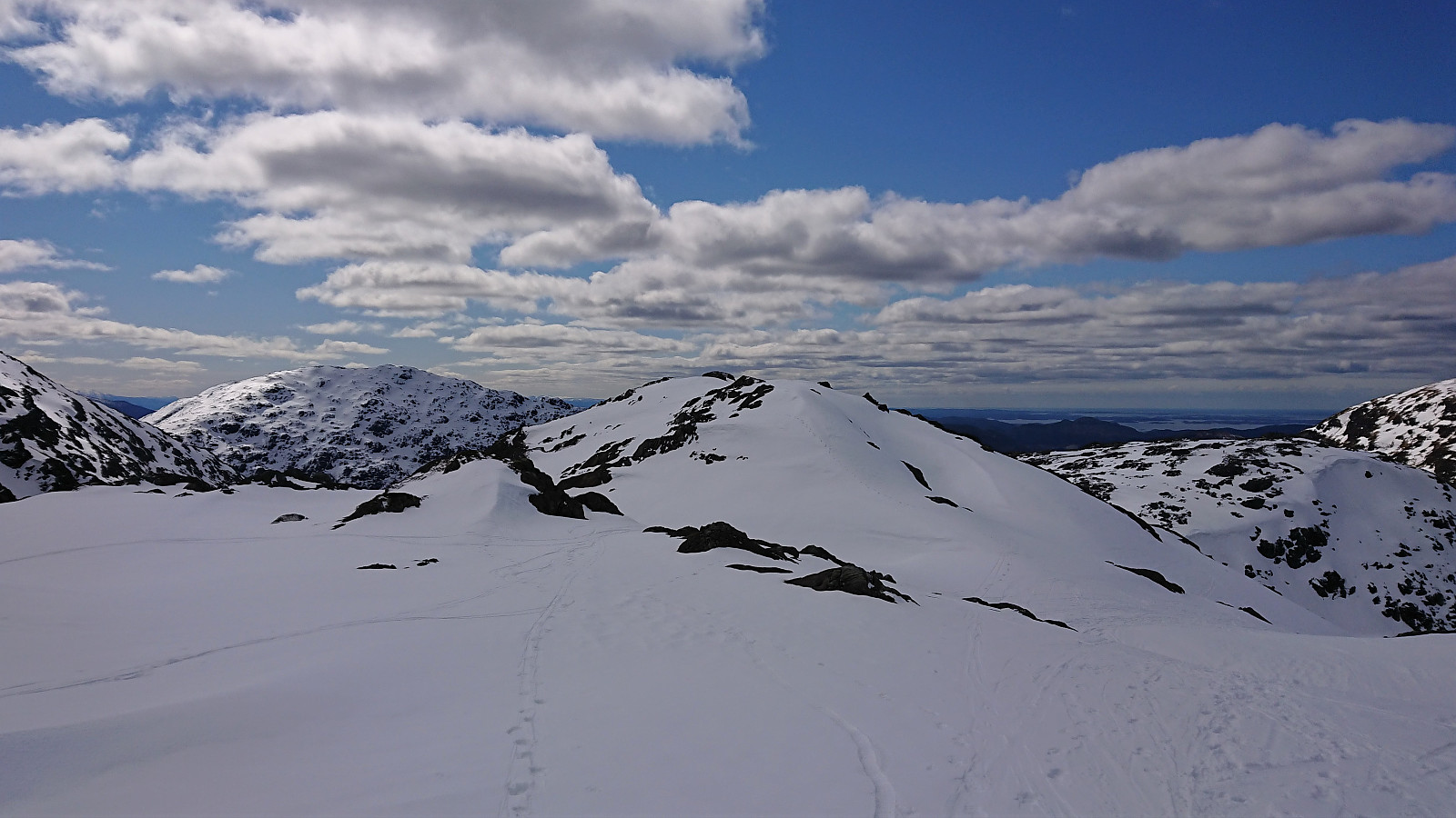 I was dropped off at the parking lot at Gullbotn , from where I carried the skis up to the actual Gullbotn where I could finally put them on. The conditions for skiing were not the best though, with at times more ice than snow, and along the ridge southeast of the summit of Gullfjelltoppen there were also short stretches without any snow at all.
My initial plan had been to descend north via Gullfjellhalsen , Vossavardane and Hotten , but given the limited amount of snow covering the mentioned peaks, combined with a strong cold northerly wind, I instead turned south and followed the normal descent route to Redningshytten , only making a short detour to Hausdalsgullbotntoppen on the way.
Note that Korketrekkeren already had several areas without any snow at all. I could however still keep the skis on until getting to Redningshytten. Here I decided to take a detour via Austefjellet , mainly as I was told by a fellow skier >>>
I was dropped off at the parking lot at Gullbotn , from where I carried the skis up to the actual Gullbotn where I could finally put them on. The conditions for skiing were not the best though, with at times more ice than snow, and along the ridge southeast of the summit of Gullfjelltoppen there were also short stretches without any snow at all.
My initial plan had been to descend north via Gullfjellhalsen , Vossavardane and Hotten , but given the limited amount of snow covering the mentioned peaks, combined with a strong cold northerly wind, I instead turned south and followed the normal descent route to Redningshytten , only making a short detour to Hausdalsgullbotntoppen on the way.
Note that Korketrekkeren already had several areas without any snow at all. I could however still keep the skis on until getting to Redningshytten. Here I decided to take a detour via Austefjellet , mainly as I was told by a fellow skier >>>
Ørneberget, Ørneberget NV and Fagerdalsskaret
- Date:
- 23.04.2021
- Characteristic:
- Hillwalk
- Duration:
- 0:57h
- Distance:
- 3.8km
 Short local evening hike.
Ørneberget and Hellen festning
- Date:
- 22.04.2021
- Characteristic:
- Hillwalk
- Duration:
- 0:56h
- Distance:
- 4.1km
 Short local evening hike.
Across Hellen festning
- Date:
- 20.04.2021
- Characteristic:
- Hike
- Duration:
- 0:36h
- Distance:
- 3.1km
 Short local evening hike.
