Archive - Date
Archive - Activity
-
Bike trip (111)
- Bike trip - mixed (25)
- Bike trip - road (86)
-
Drive (9)
- Car drive (9)
-
Other trip (3)
- Kayaking (3)
-
Ski trip (116)
- Backcountry skiing (69)
- Cross-country skiing (47)
- Trip by foot (1897)
Collected lists
-
Utvalgte topper og turmål i Bergen
(349/351)
 99%
99% -
Alle topper i Bergen
(393/400)
98%
-
Voss ≥ 100m pf.
(96/98)
97%
-
Opptur Hordaland
(144/159)
90%
-
Stasjoner på Bergensbanen
(33/40)
82%
-
Ulvik ≥ 100m pf.
(30/38)
78%
-
Hordaland ≥ 100m pf.
(624/863)
72%
-
Mjølfjell PF > 100m
(21/31)
67%
-
Jondal ≥ 100m pf.
(15/23)
65%
-
Dagsturhyttene i Vestland
(36/61)
59%
-
Sunnhordland PF >= 100m
(105/186)
56%
-
Hordaland: Hardanger PF>=100m
(196/359)
54%
-
DNT-hytter i Hordaland
(23/45)
51%
-
Kvinnherad ≥ 100m pf.
(40/79)
50%
-
Eidfjord ≥ 100m pf.
(13/42)
30%
-
Sogndal ≥ 100m pf.
(23/81)
28%
-
Gulen ≥ 100m pf.
(15/54)
27%
-
Vik i Sogn ≥ 100m pf.
(10/46)
21%
-
Sogn - Sør for Sognefjorden PF>=100m
(31/159)
19%
-
DNT-hytter i Sogn og Fjordane
(8/47)
17%

Fagerdalsfjellet, Ørneberget and Håmanen
- Date:
- 30.07.2019
- Characteristic:
- Hillwalk
- Duration:
- 2:52h
- Distance:
- 8.3km
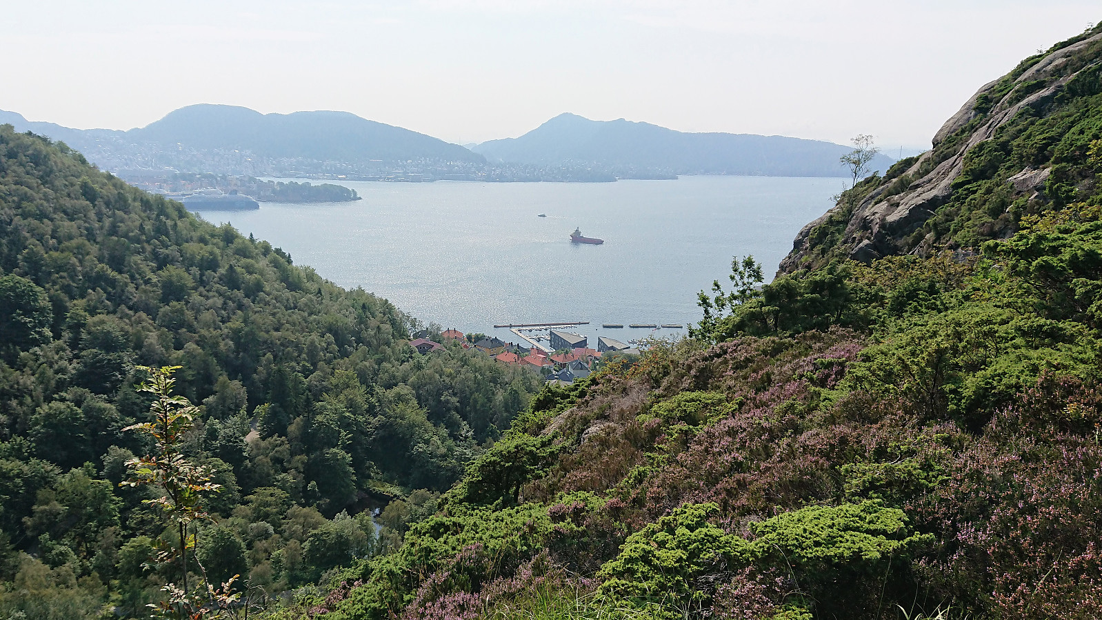 Local hike across Fagerdalsfjellet, Ørneberget and Håmanen.
Cycling: Svartediket
- Date:
- 29.07.2019
- Characteristic:
- Bike trip - road
- Duration:
- 2:04h
- Distance:
- 23.9km
 Evening bike ride to Svartediket and back.
Ørneberget and Rognåsen
- Date:
- 29.07.2019
- Characteristic:
- Hillwalk
- Duration:
- 2:13h
- Distance:
- 6.1km
 Local hike across Ørneberget and Rognåsen.
Cycling: Ulriken Roundtrip
- Date:
- 28.07.2019
- Characteristic:
- Bike trip - road
- Duration:
- 3:17h
- Distance:
- 51.9km
 Too warm for hiking. So I went for a cycling trip around Ulriken instead, passing by Nesttun on the way to the city center.
Grøet, Flæfjellet and Storafjellet
- Date:
- 27.07.2019
- Characteristic:
- Hillwalk
- Duration:
- 4:55h
- Distance:
- 16.5km
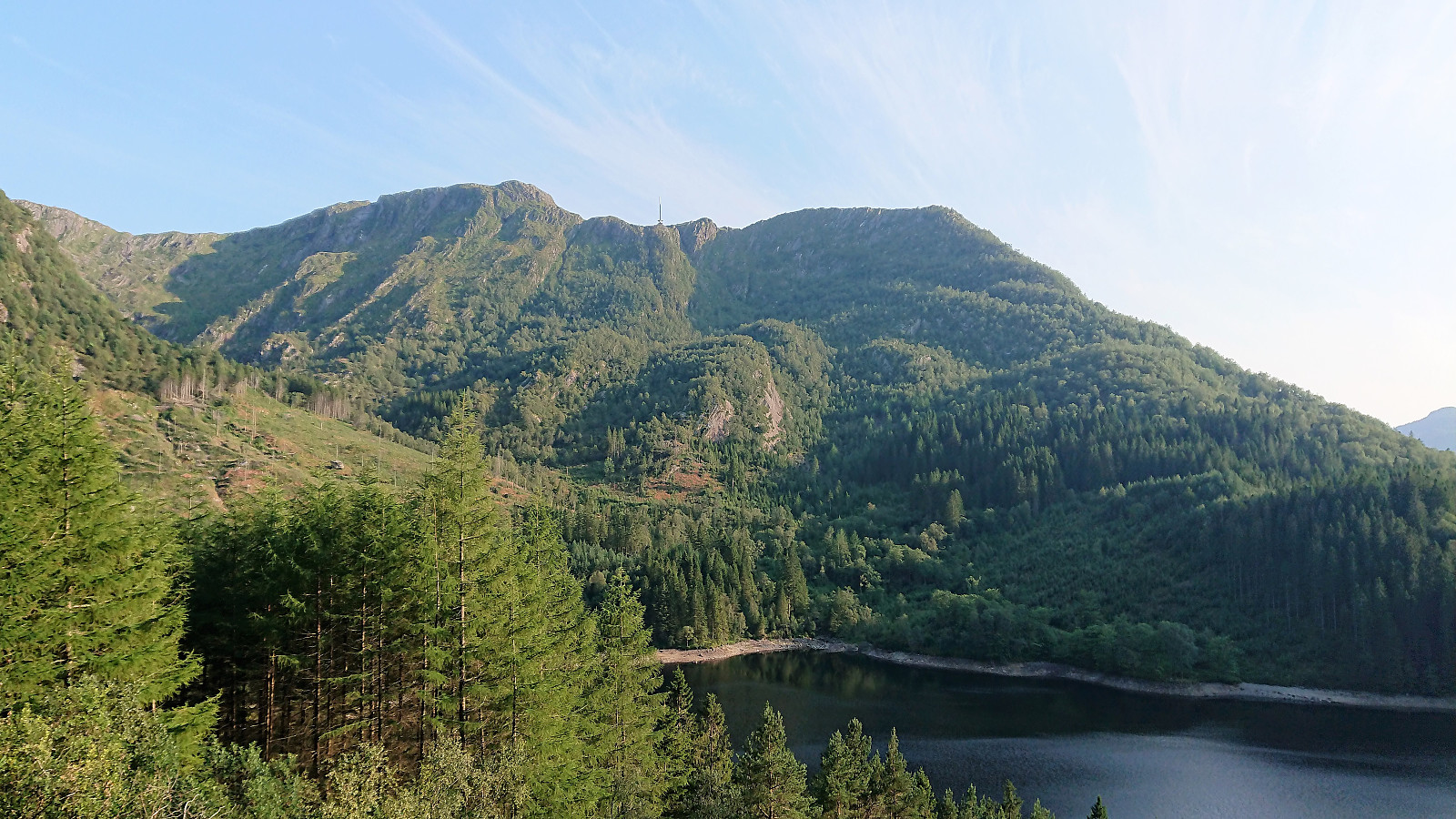
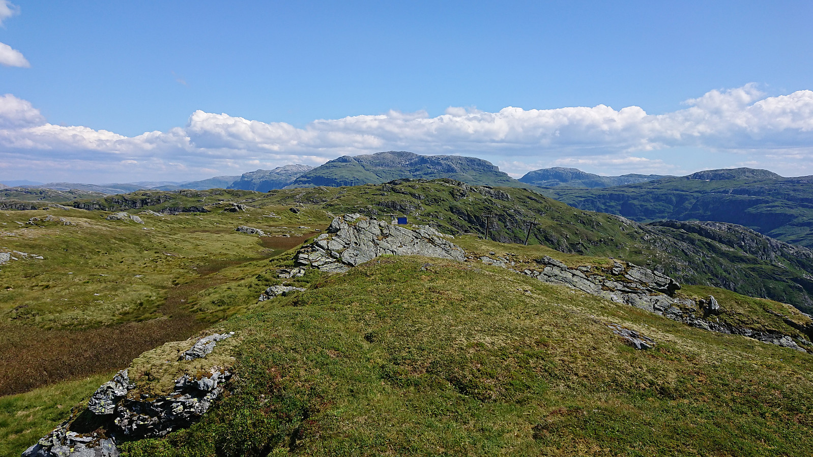 Started by taking the bus to Eikedalen (bus stop called Eikedalen Skisenter) and walked along the road up to the start of the ski slopes. From there I followed a steep tractor road west and later north, taking me almost all the way to the summit of Grøet . The final off-road stretch to the summit was straightforward. By now the light breeze had picked up quite a bit, which was very welcome on this warm summer day, with temperatures even this high probably being above 25.
I made a short detour north for better views down to Kvitingvatnet, before turning east to Flæfjellet , soon coming across a trail/animal track that I could easily follow all the way to the summit. I did make another short detour south just before reaching the summit though, just to be able to look down into Eikedalen.
At Flæfjellet I enjoyed >>>
Started by taking the bus to Eikedalen (bus stop called Eikedalen Skisenter) and walked along the road up to the start of the ski slopes. From there I followed a steep tractor road west and later north, taking me almost all the way to the summit of Grøet . The final off-road stretch to the summit was straightforward. By now the light breeze had picked up quite a bit, which was very welcome on this warm summer day, with temperatures even this high probably being above 25.
I made a short detour north for better views down to Kvitingvatnet, before turning east to Flæfjellet , soon coming across a trail/animal track that I could easily follow all the way to the summit. I did make another short detour south just before reaching the summit though, just to be able to look down into Eikedalen.
At Flæfjellet I enjoyed >>>
Orretua
- Date:
- 26.07.2019
- Characteristic:
- Hillwalk
- Duration:
- 2:01h
- Distance:
- 8.4km
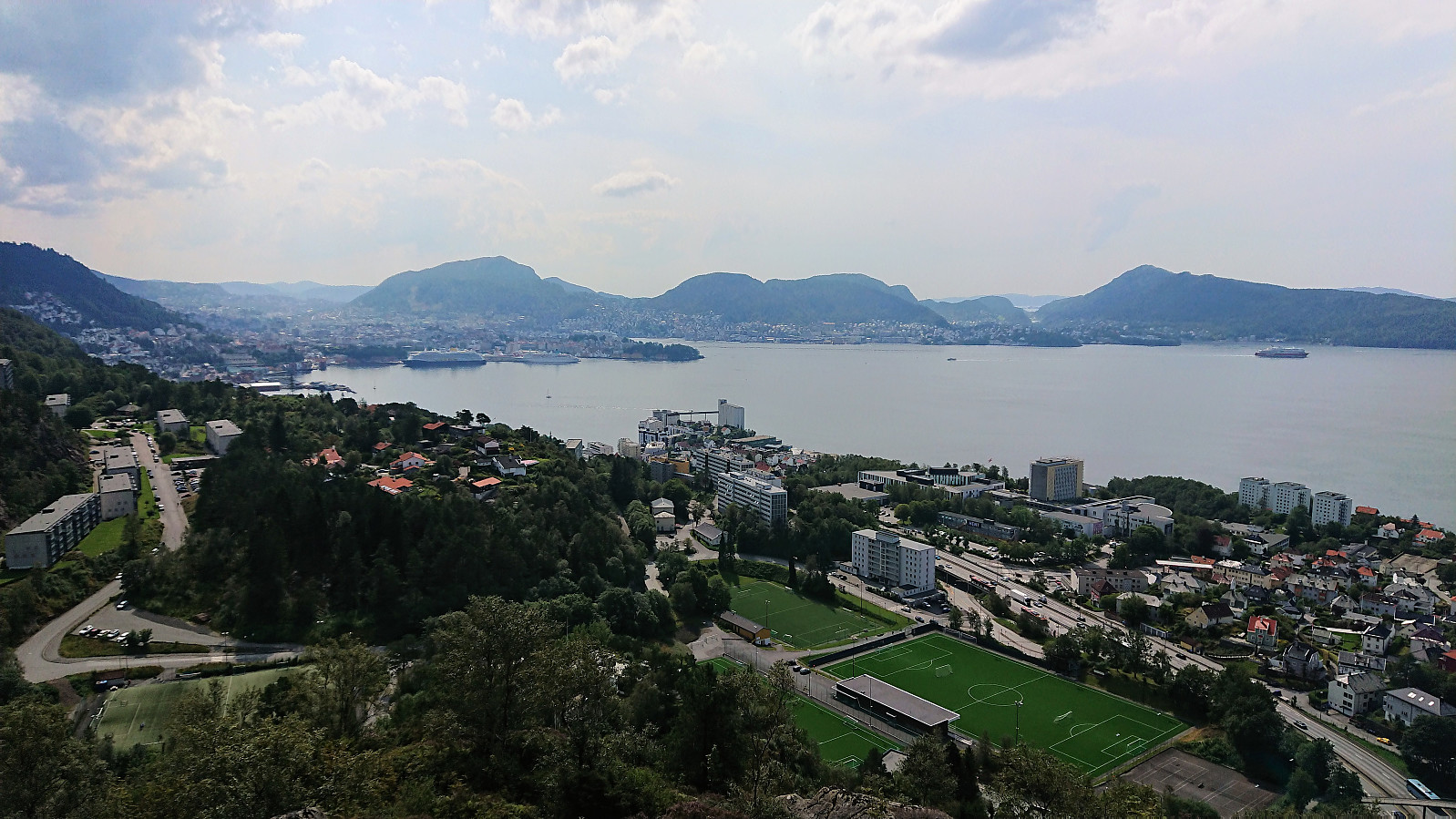
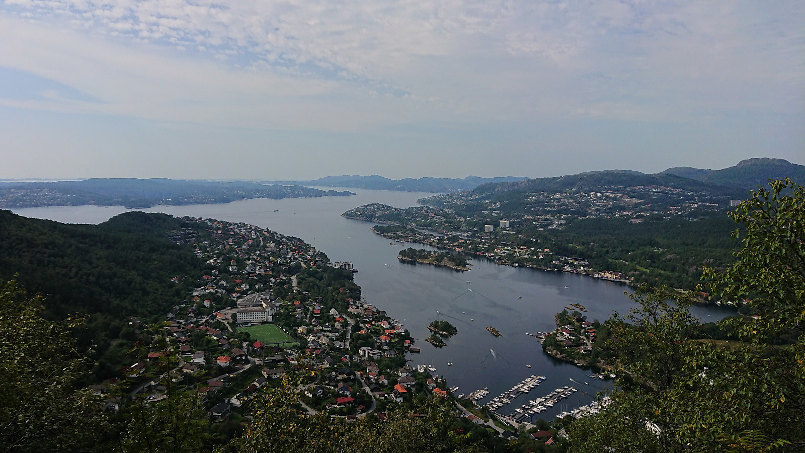 Local afternoon hike on the hottest day in Bergen history. Official record: 33.4. 35 outside my apartment just before I left for the hike though.
Cycling: Osterøybroen
- Date:
- 25.07.2019
- Characteristic:
- Bike trip - road
- Duration:
- 3:41h
- Distance:
- 62.8km
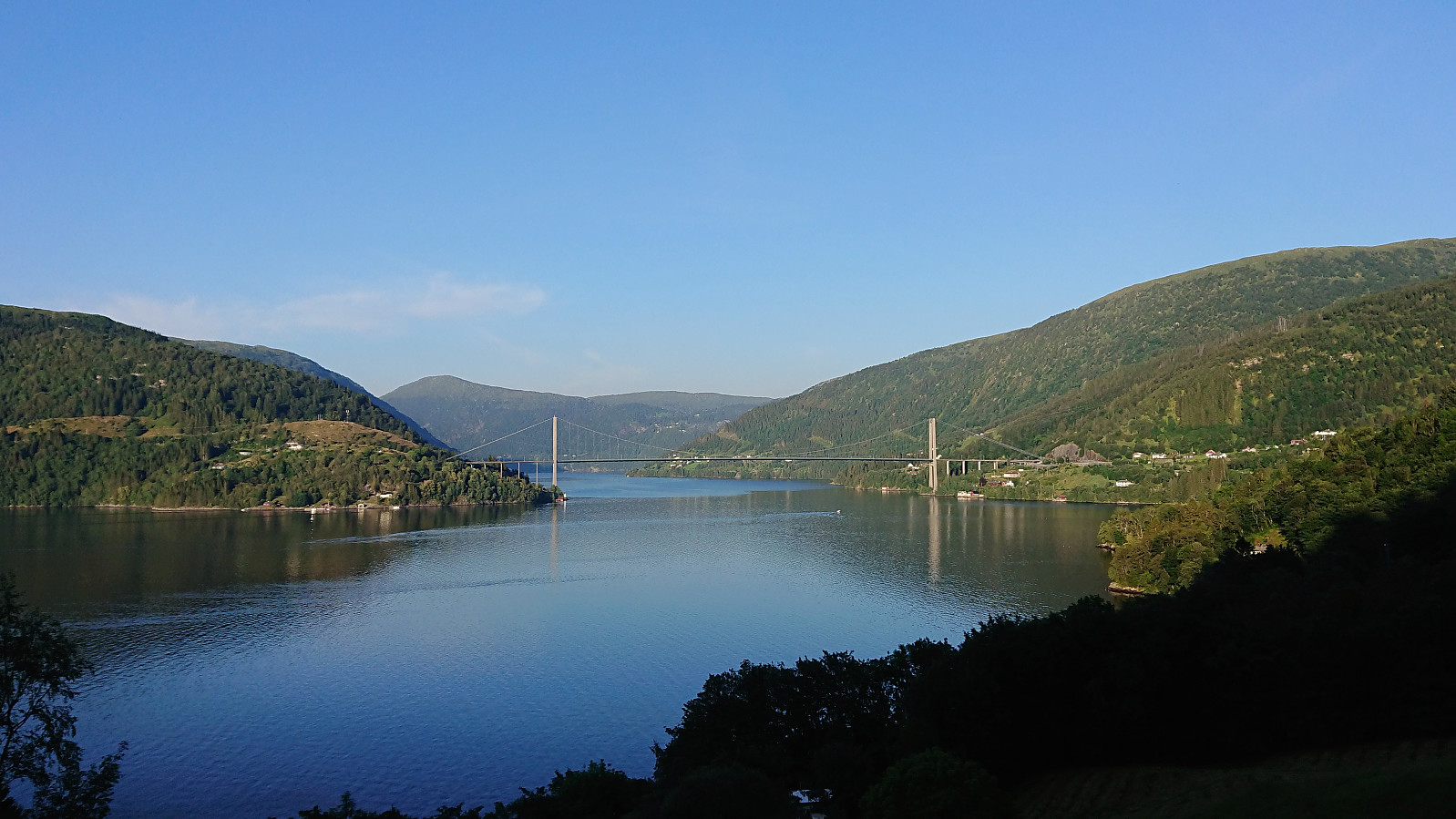 Partial trial run to test the feasibility of using the bike as the means of transportation for a visit of Hikletten . Should be doable, but will be a very long trip (more than 120 km for the cycling alone...). However, this test did not include the 400 meters ascent from Bruvik to the parking lot at Båtaleitet , which will clearly be the hardest part.
Note: The strange zero meters above sea level in the middle of the profile is actually the crossing of Osterøybroen, which is not picked up when correcting the GPS elevation values.
Partial trial run to test the feasibility of using the bike as the means of transportation for a visit of Hikletten . Should be doable, but will be a very long trip (more than 120 km for the cycling alone...). However, this test did not include the 400 meters ascent from Bruvik to the parking lot at Båtaleitet , which will clearly be the hardest part.
Note: The strange zero meters above sea level in the middle of the profile is actually the crossing of Osterøybroen, which is not picked up when correcting the GPS elevation values.
Hellen festning and Ørneberget
- Date:
- 24.07.2019
- Characteristic:
- Hillwalk
- Duration:
- 1:32h
- Distance:
- 5.9km
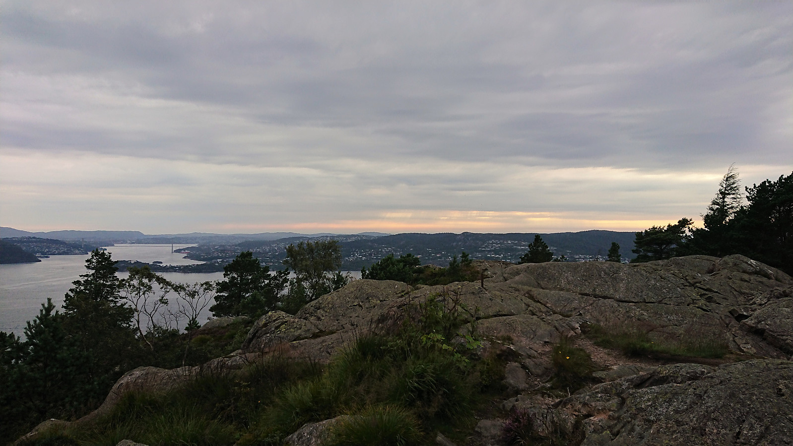 Short local evening hike after spending the last three days indoors teaching at the Genome Campus outside Cambridge, UK.
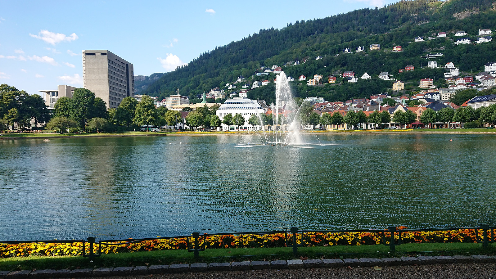
Across Hellen festning
- Date:
- 20.07.2019
- Characteristic:
- Hike
- Duration:
- 0:34h
- Distance:
- 3.1km
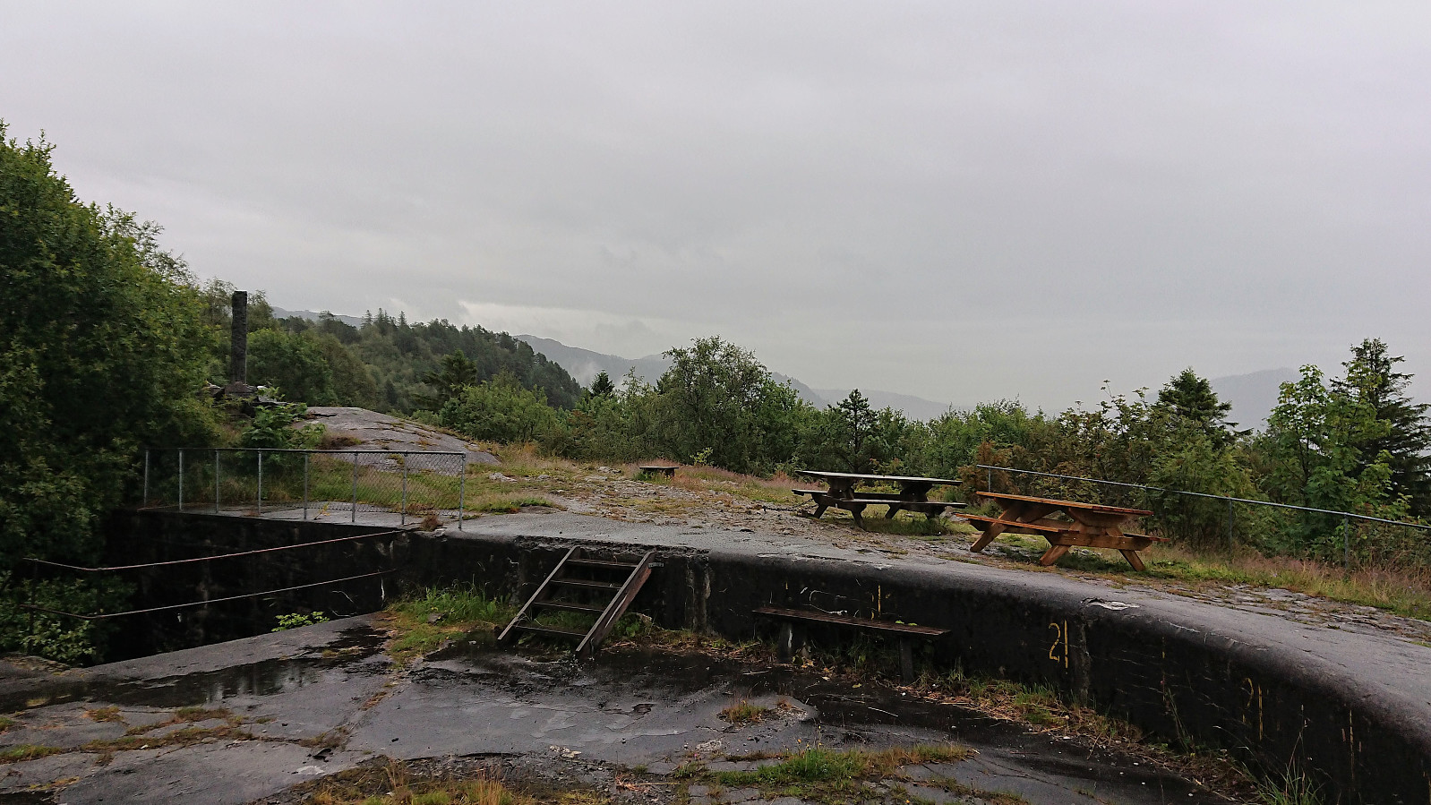 Short local evening hike in constant rain.
Kvitebjørnen (Lavet N and SØ)
- Date:
- 19.07.2019
- Characteristic:
- Hillwalk
- Duration:
- 2:50h
- Distance:
- 11.9km
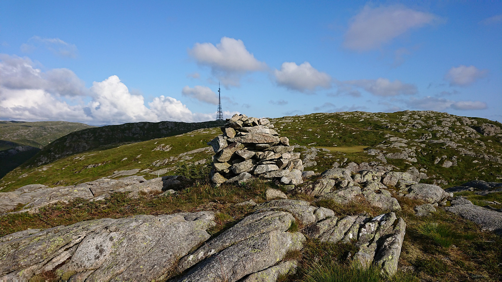 Local evening hike to visit the two newly added secondary summits at Kvitebjørnen/ Lavet : Lavet N and Lavet SØ .
