Åsen i Samdalen (29.07.2025)

| Start point | Hausdal snuplass (93m) |
|---|---|
| Endpoint | Hausdalsvegen (67m) |
| Characteristic | Hillwalk |
| Duration | 2h 17min |
| Distance | 6.5km |
| Vertical meters | 355m |
| GPS |
|
| Ascents | Åsen i Samdalen (389m) | 29.07.2025 16:08 |
|---|---|---|
| Visits of other PBEs | Hausdalen parkering (94m) | 29.07.2025 15:07 |
| Åsen søyle (385m) | 29.07.2025 16:12 |
Åsen i Samdalen
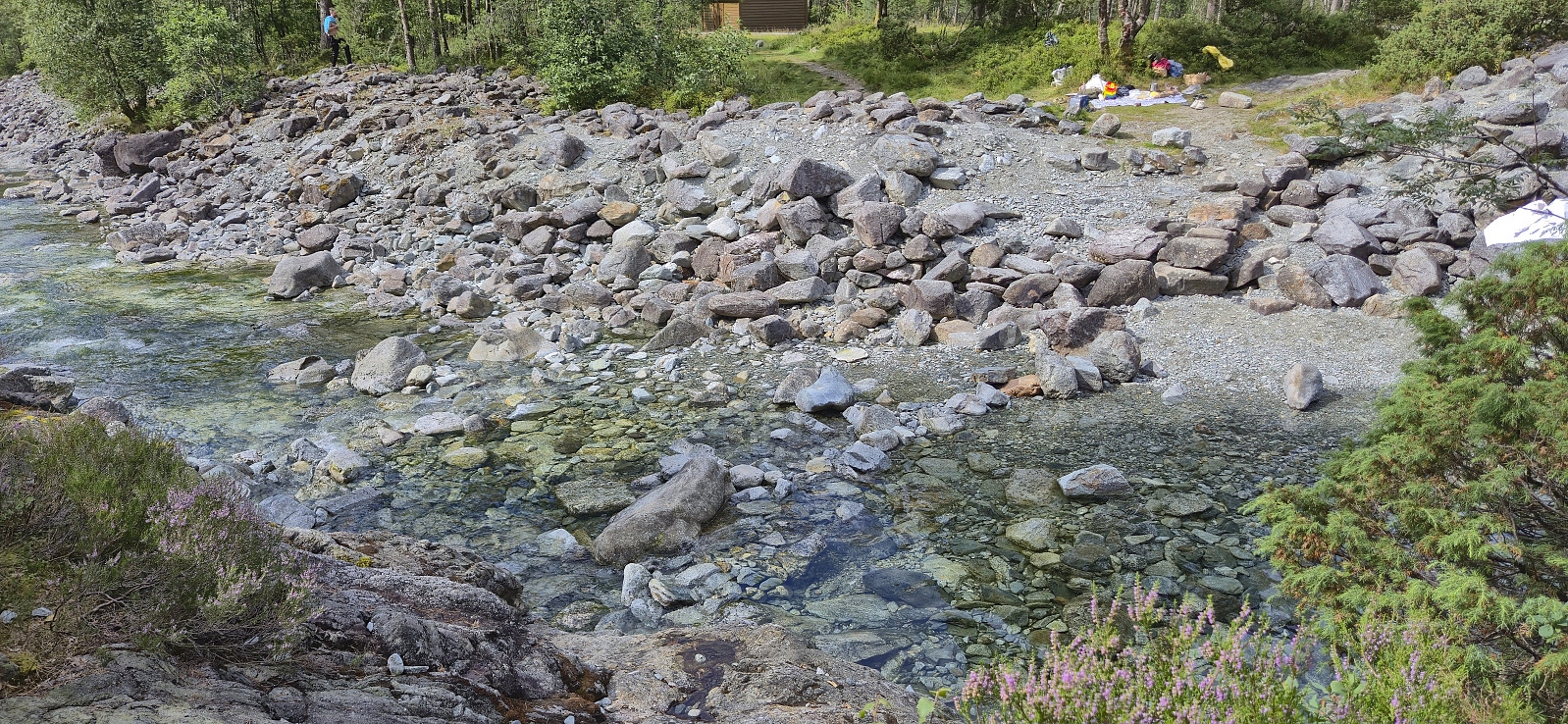
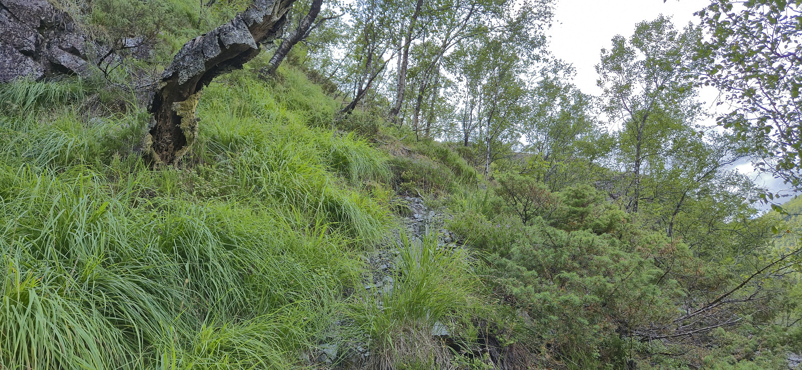
For my ascent of Åsen I took inspiration from one of Helwig's three visits and made an attempt to replicate their steep ascent from the north. After getting off the bus at the last stop in Hausdalen, I walked the short distance along the gravel road for an easy crossing of the river, skipping the unstable bridge and instead using a couple of steeping stones to easily cross to the other side without getting my shoes wet.
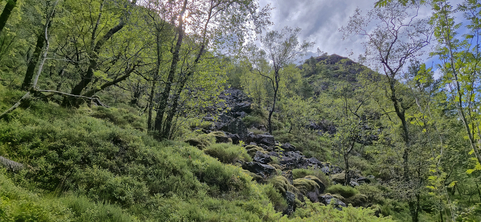
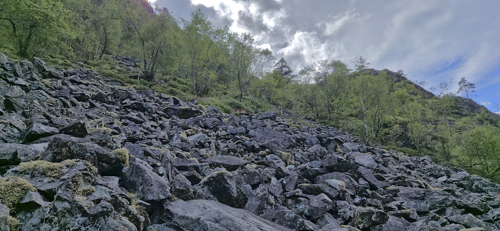
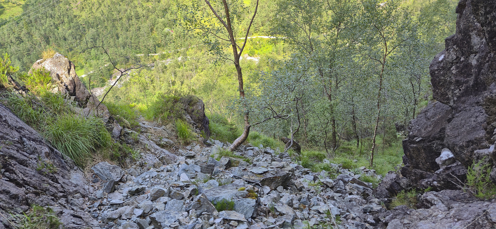
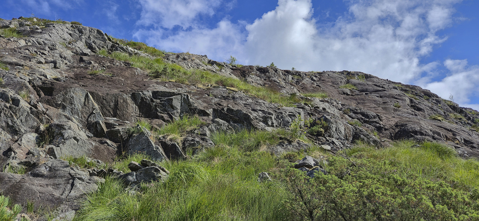
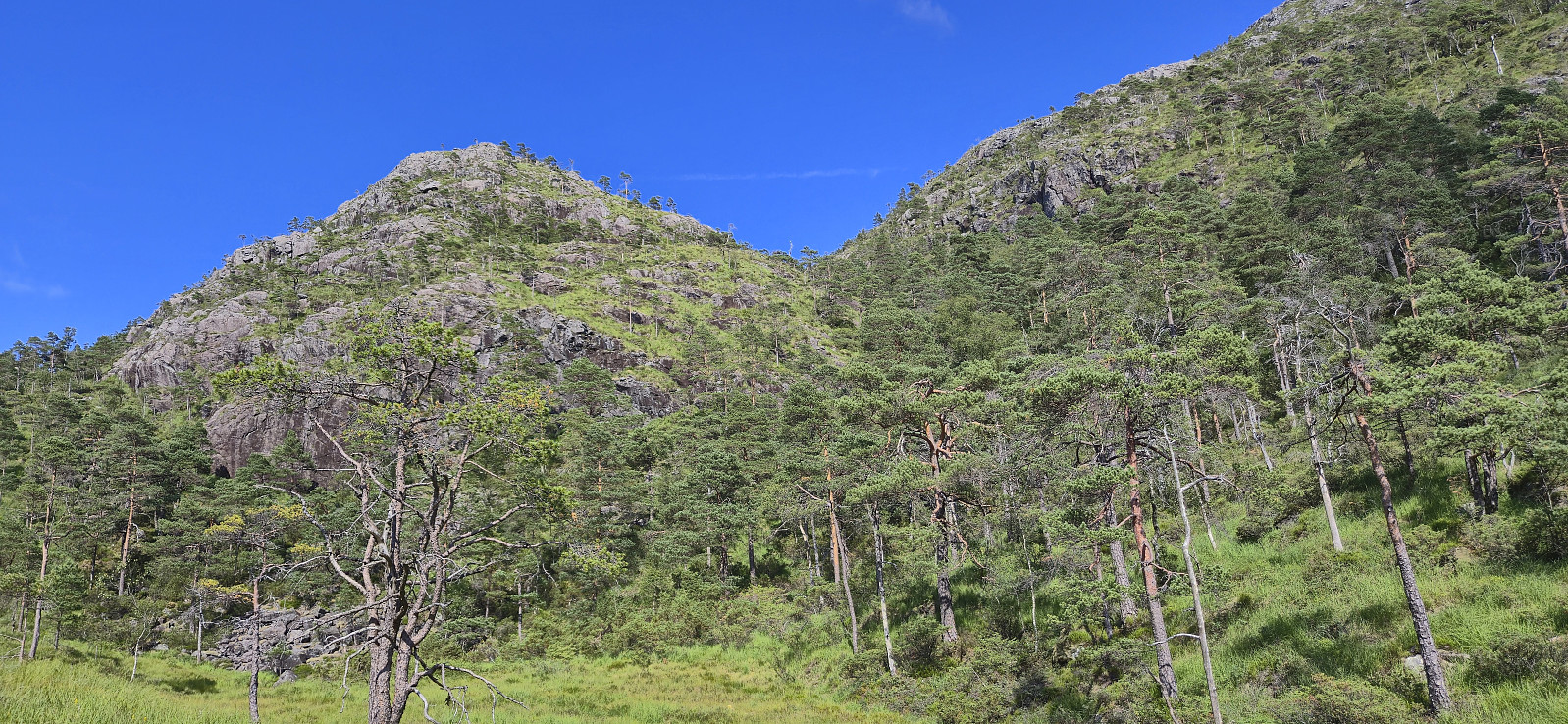
When approaching the steep ascent I noticed that it seemed to mainly consist of small and large rocks. This was fine at first but when the steepness increased, I started wondering about the stability and moved to the left. Here I came across a weak trail/animal track that avoided most of the rocks and actually resulted in a relatively easy ascent.
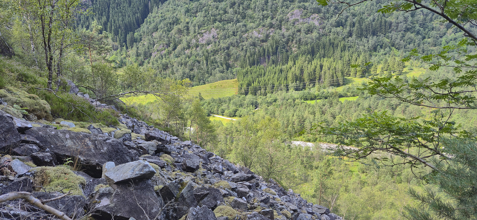
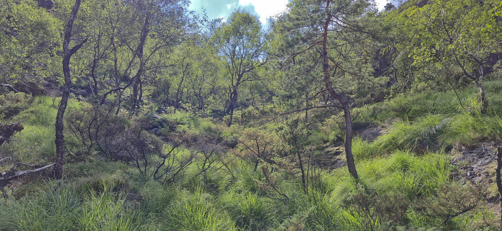
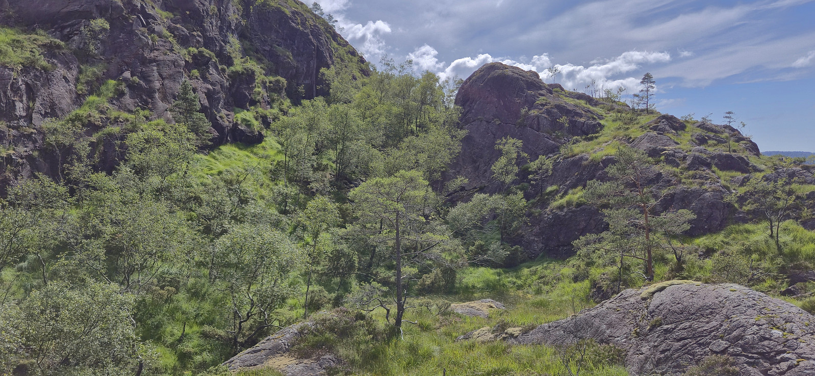
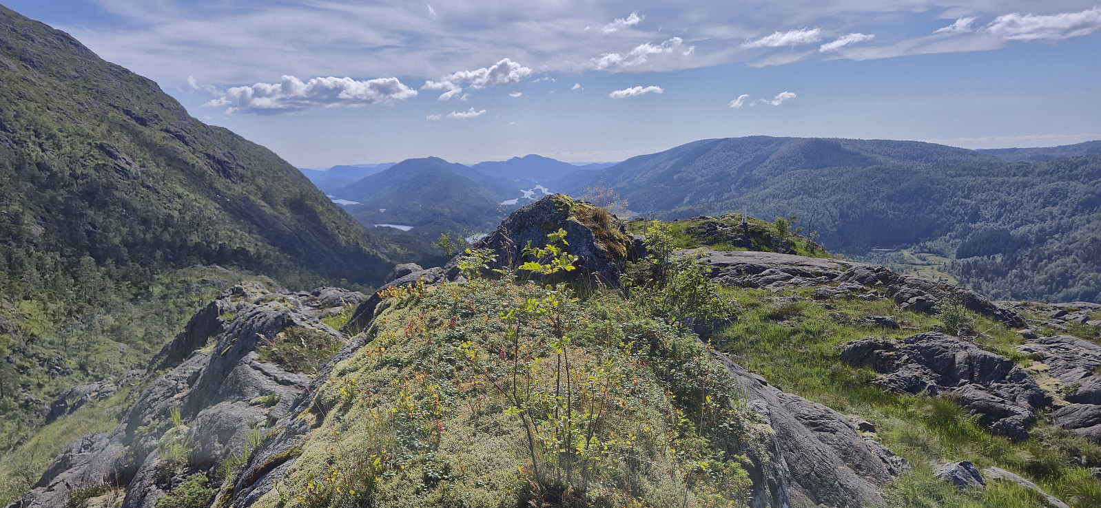
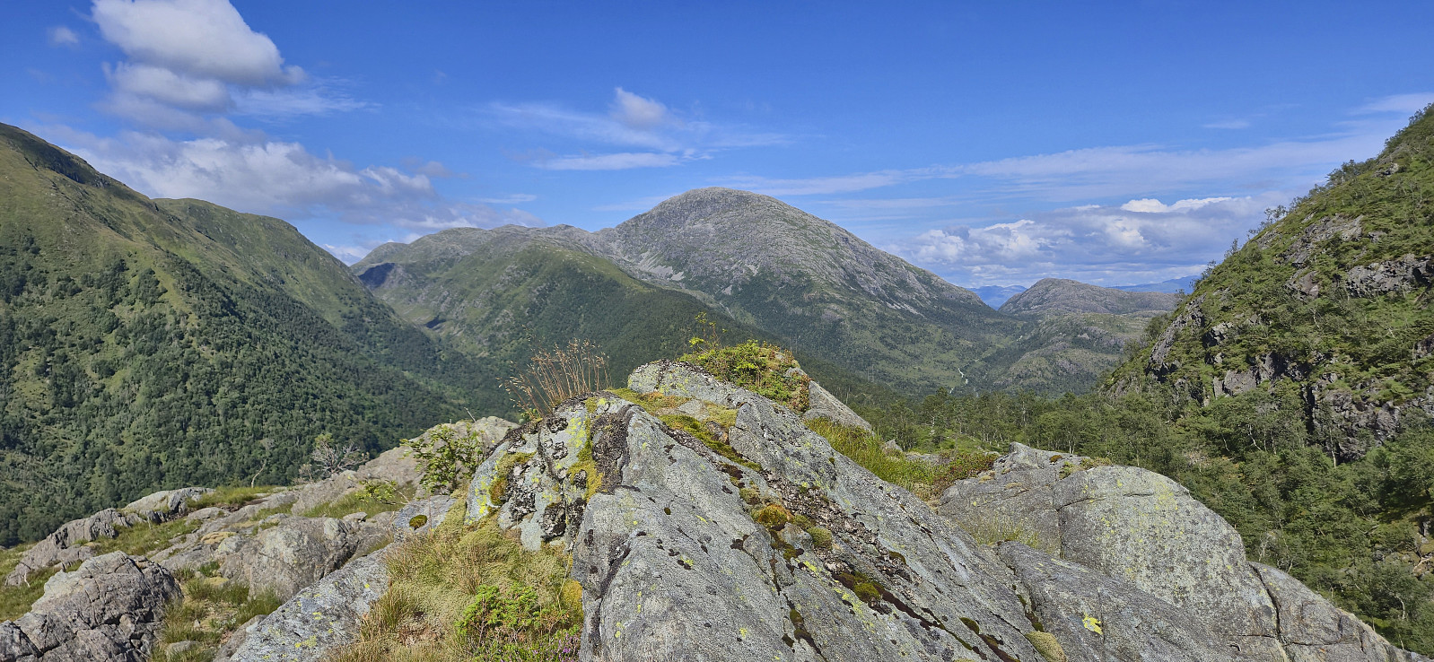
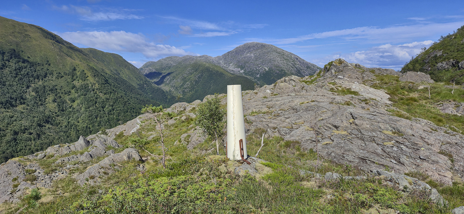
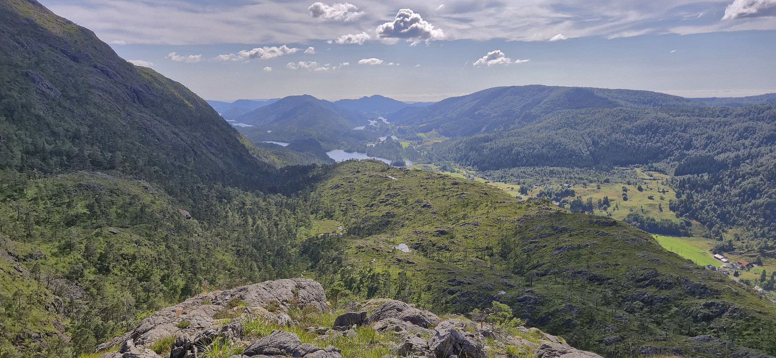
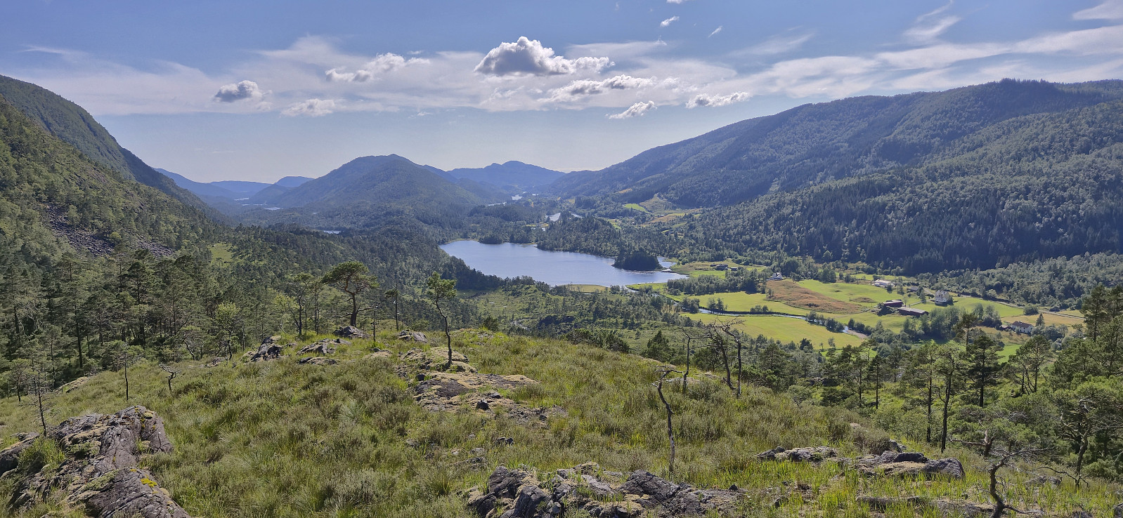
The terrain soon became much less steep and I continued southwest until getting west of the summit from where I found a straightforward ascent route that did not even require scrambling. After quick visits of the summit and the nearby trig marker I started my descent, first along the ridge and then heading into the small valley to the east. The short section through the valley was the least enjoyable part of the hike due to its moss-covered small boulders, hidden holes and lots of small branches hindering my way.
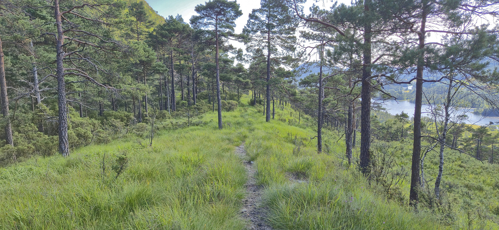
When finally getting to the flatter area southwest of the summit, I followed various deer tracks, some of which almost looked like trails, until connecting with the trail north of Ulvvatnet. Due to both the ascent and the first part of the descent having taken much longer than expected, I now had to greatly increase my speed in order to catch the bus. I ended up running for most of the remaining distance and thus made it close enough to the bus stop (perhaps 100 meters short) such that the bus driver thankfully picked me up.
To conclude, this ascent route to Åsen, while steep, can definitely be done without too much trouble. Just make sure to look for the track/trail and thus avoid the steepest rock-covered areas. The descent route can however probably be improved upon. Perhaps by returning west and then aim for the ridge to the southwest?
| Start date | 29.07.2025 15:06 (UTC+01:00 DST) |
| End date | 29.07.2025 17:24 (UTC+01:00 DST) |
| Total Time | 2h 17min |
| Moving Time | 2h 02min |
| Stopped Time | 0h 15min |
| Overall Average | 2.8km/h |
| Moving Average | 3.2km/h |
| Distance | 6.5km |
| Vertical meters | 355m |

User comments