Lone to Flaktveit via Kvitnosa (29.09.2024)

| Startsted | Lone (82moh) |
|---|---|
| Sluttsted | Flaktveit (91moh) |
| Turtype | Fjelltur |
| Turlengde | 5t 21min |
| Distanse | 14,6km |
| Høydemeter | 664m |
| GPS |
|
| Bestigninger | Grønetua (642moh) | 29.09.2024 |
|---|---|---|
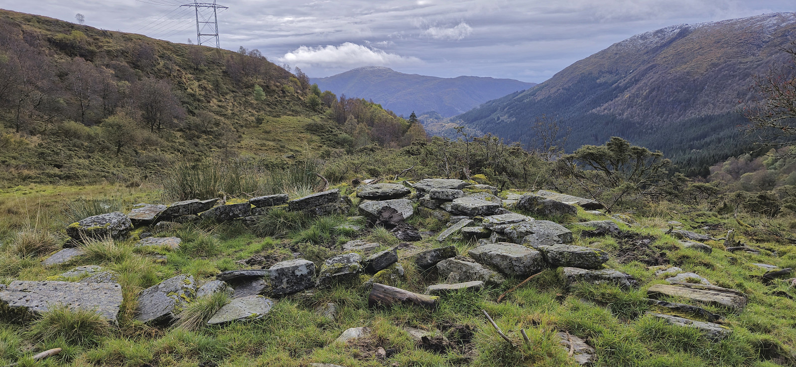
| Andre besøkte PBE'er | Borgasetra (grunnmur) (440moh) | 29.09.2024 |
| Hjortland p-plass (155moh) | 29.09.2024 | |
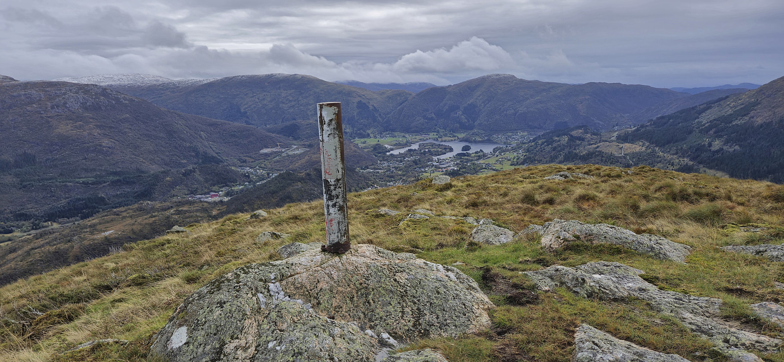
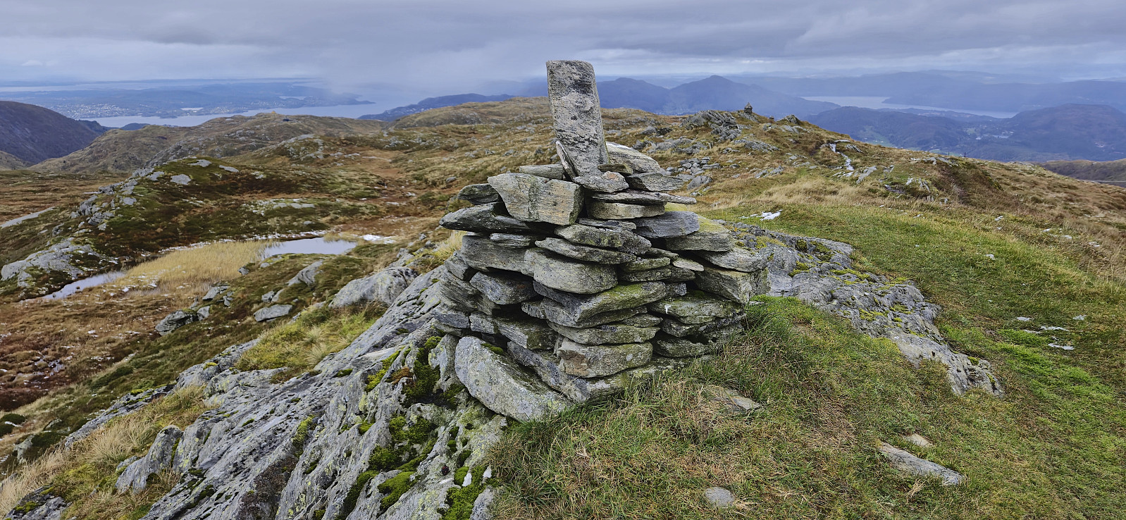
| Kvitnosa (526moh) | 29.09.2024 | |
| Nødkjelke ved Hjortlandsvegen (392moh) | 29.09.2024 | |
| Vikinghytten (586moh) | 29.09.2024 |
Lone to Flaktveit via Kvitnosa
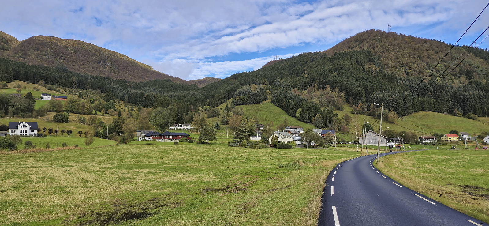
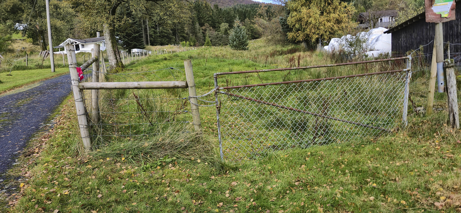

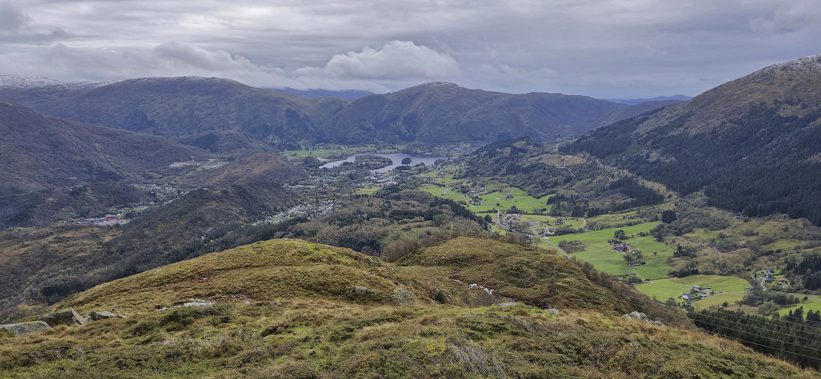
Sunday hike with my dad with the main objective of visiting the trig marker at Kvitnosa. We started by taking the bus to Lone (or rather bus, train and bus) and then followed the road to Borgo. Most hikers here probably take the marked route up to Borgaskaret, but we instead started searching for the trail to Gjøken. Our first attempt ended up on the wrong side of an electric fence, before we, after a bit of backtracking, passed through a gate and could finally begin the ascent.
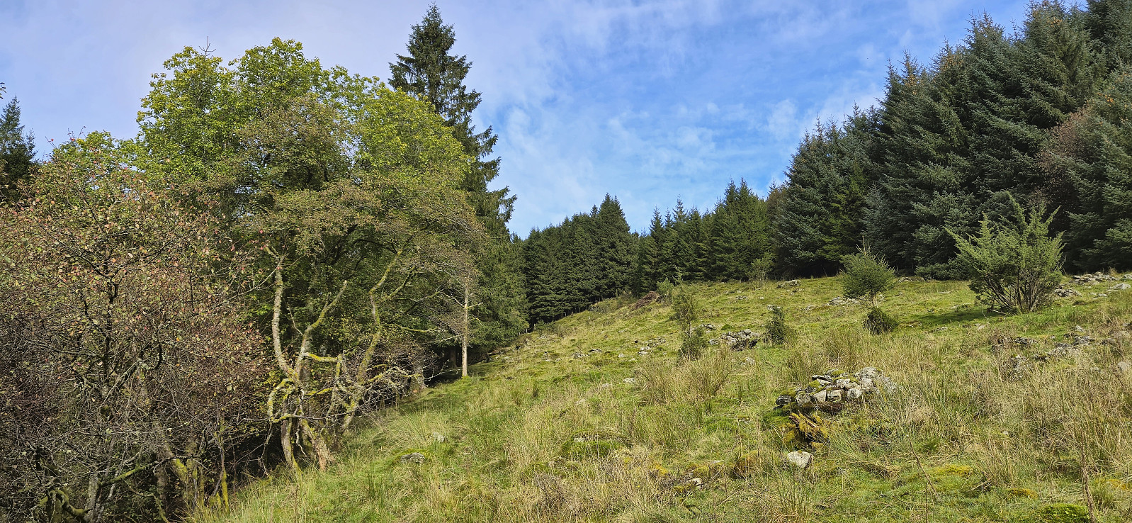
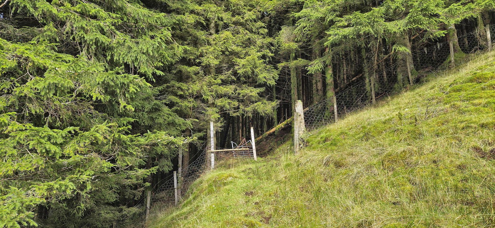
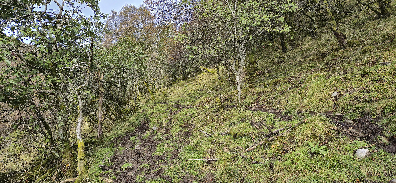
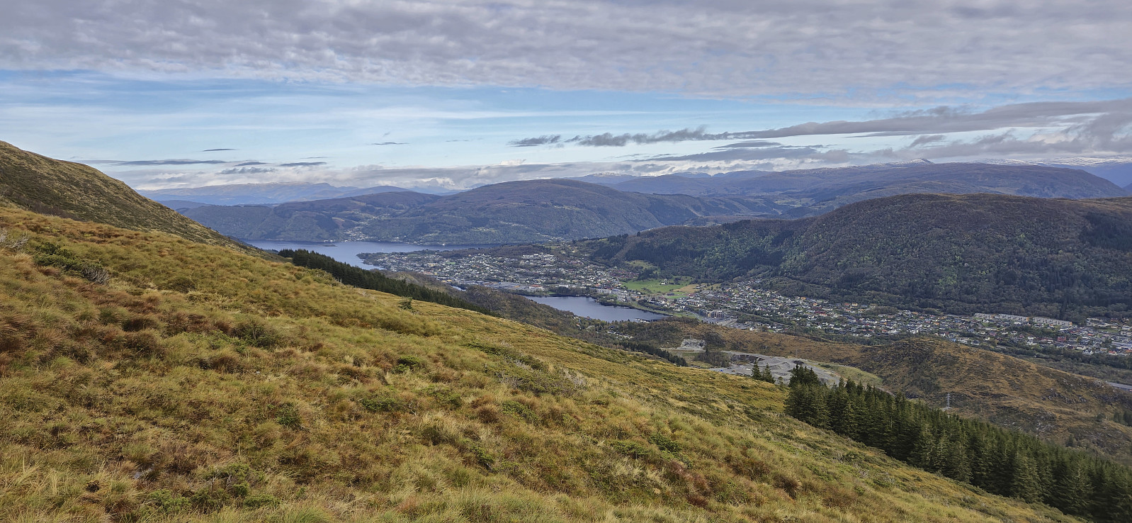
The trail indicated on the map was however not really there and instead it seemed like we were in a field used for grazing cattle. So far we did not see any cattle though and assumed that they had been brought indoors for the winter. After later passing through a second gate, this one open, the weak trail soon pretty much disappeared and we were left with finding our own way until later connecting with a very wet and muddy trail taking us up to Borgasetra. (In our defense, the hiking sign that I later discovered in Kjell's trip report from 2018 was no longer there.)
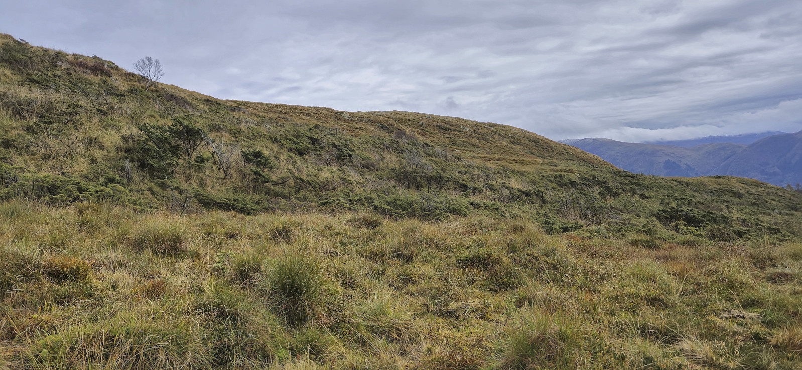
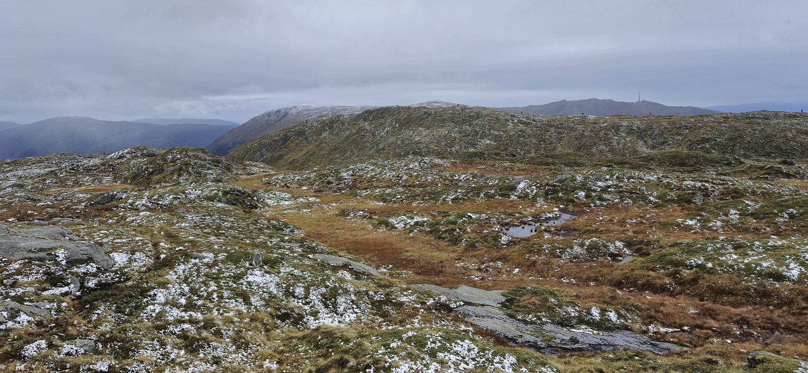
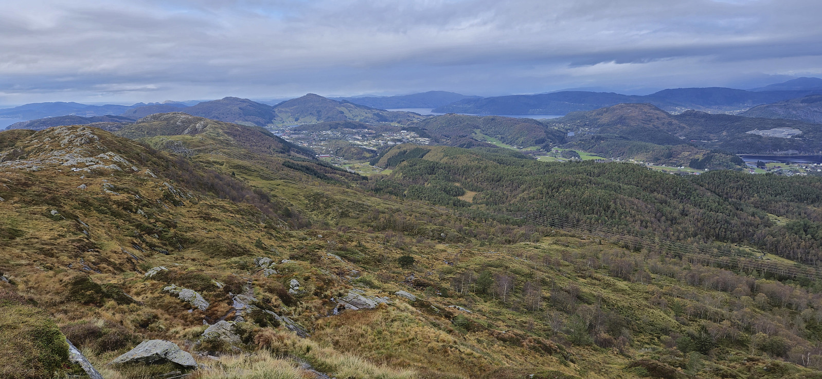
From Borgasetra my dad headed directly for Gjøken while I made a short detour to Kvitnosa. Getting there was wet but relatively easy and the location provided great views. On the way to Gjøken my dad had surprisingly come across several of the cows that we had assumed would not be there, and even had to leave the trail in order to not disturb a cow with two calves. After getting this information, I decided to alter my route and instead headed directly to Grønetua.
After reconnecting at Grønetua, we proceeded together to Vikinghytten where we head a short lunch break in the shelter outside the entrance (the cabin itself is open on Sundays, but closed just when we arrived). The hike was then concluded by following the trail down to Hjortland and the road to Flaktveit for the bus home.
In summary, while the views from Kvitnosa were great, the trail from Borgo to Gjøken was very wet and muddy, and "guarded" by cattle, and thus cannot really be recommended.
| Starttidspunkt | 29.09.2024 11:25 (UTC+01:00 ST) |
| Sluttidspunkt | 29.09.2024 16:47 (UTC+01:00 ST) |
| Totaltid | 5t 21min |
| Bevegelsestid | 4t 41min |
| Pausetid | 0t 40min |
| Snittfart totalt | 2,7km/t |
| Snittfart bevegelsestid | 3,1km/t |
| Distanse | 14,6km |
| Høydemeter | 663m |

Kommentarer