Vedasnerta and Nessteinen from Nes/Mundheimsvegen (18.09.2021)

| Start point | Nes/Mundheimsvegen (61m) |
|---|---|
| Endpoint | Leirstein/Mundheimsdalen (71m) |
| Characteristic | Hillwalk |
| Duration | 6h 17min |
| Distance | 18.9km |
| Vertical meters | 1,115m |
| GPS |
|
| Ascents | Nessteinen (663m) | 18.09.2021 |
|---|---|---|
| Vedasnerta (682m) | 18.09.2021 | |
| Visits of other PBEs | Steinen utsiktspunkt (659m) | 18.09.2021 |
Vedasnerta and Nessteinen from Nes/Mundheimsvegen


Since my trip to Vågenipen and Lukefjellet two weeks earlier, I had wanted to get a closer look at Vedasnerta and Nessteinen on the opposite side of Mundheimsdalen, as they both looked quite dramatic from a distance. When researching how to best visit both summits, I came across a route description at ut.no that looked very promising as it indicated a marked trail all the way to the summit of Nessteinen: https://ut.no/turforslag/119653/nessteinen. The suggestion did not mention Vedasnerta at all, but I assumed that the short off-trail ascent from Vatnadalsvatnet (in the valley between Nessteinen and Vedasnerta) would not be too difficult.
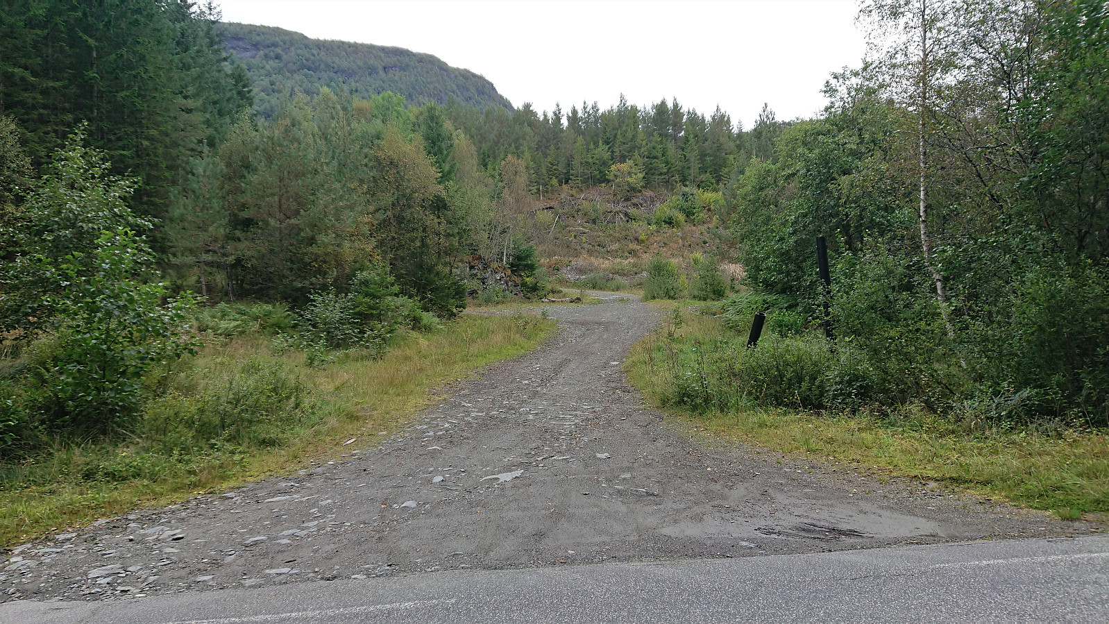
I started by taking the bus from Bergen to Mundheim. Here I switched to a connecting bus heading for Norheimsund, which I only stayed on for two stops before getting off at the bus stop called Teigland right next to the start of the tractor road indicated on the route at ut.no. (Note that while these two buses seem to be connected in practice, i.e. the bus drivers are clearly waiting for each other, the buses are not officially connected when you search at skyss.no and only show up if you set the transfer time to zero.)
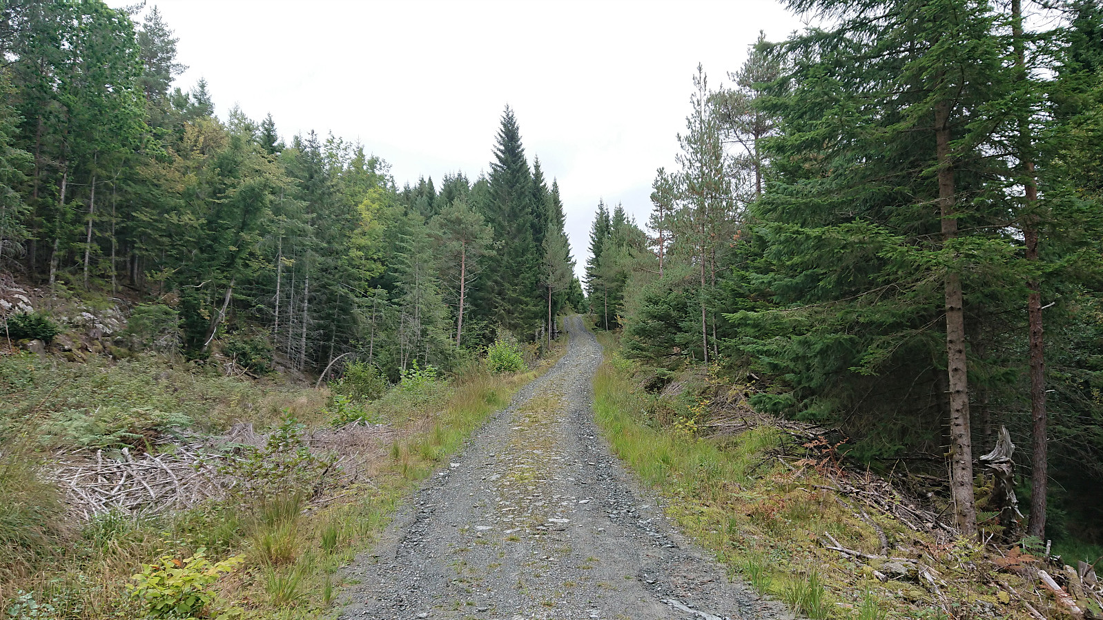
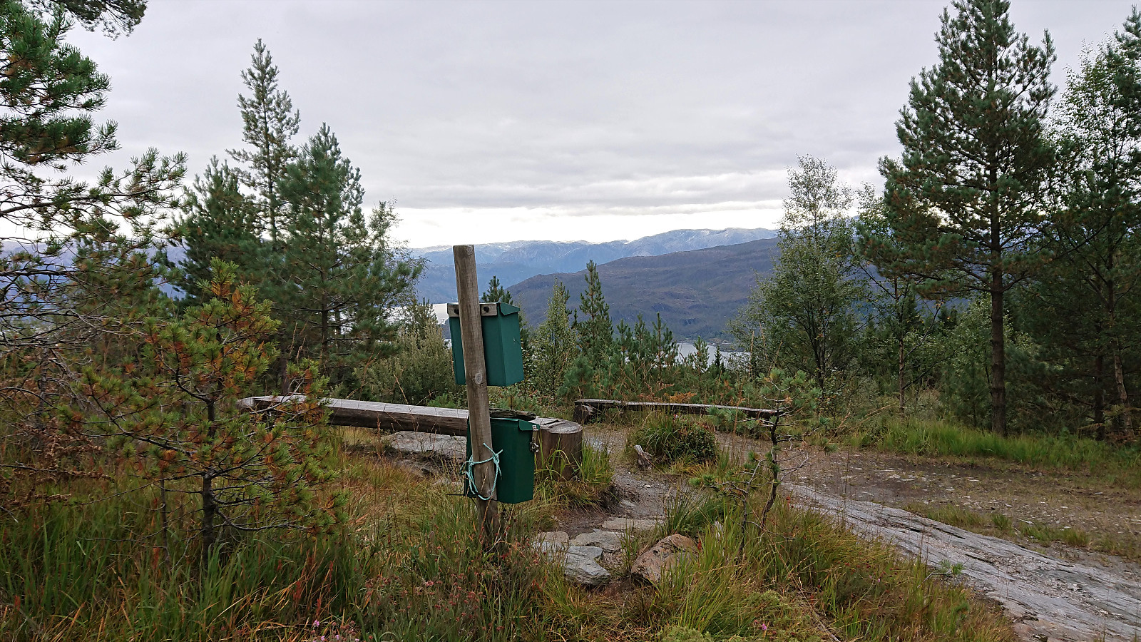
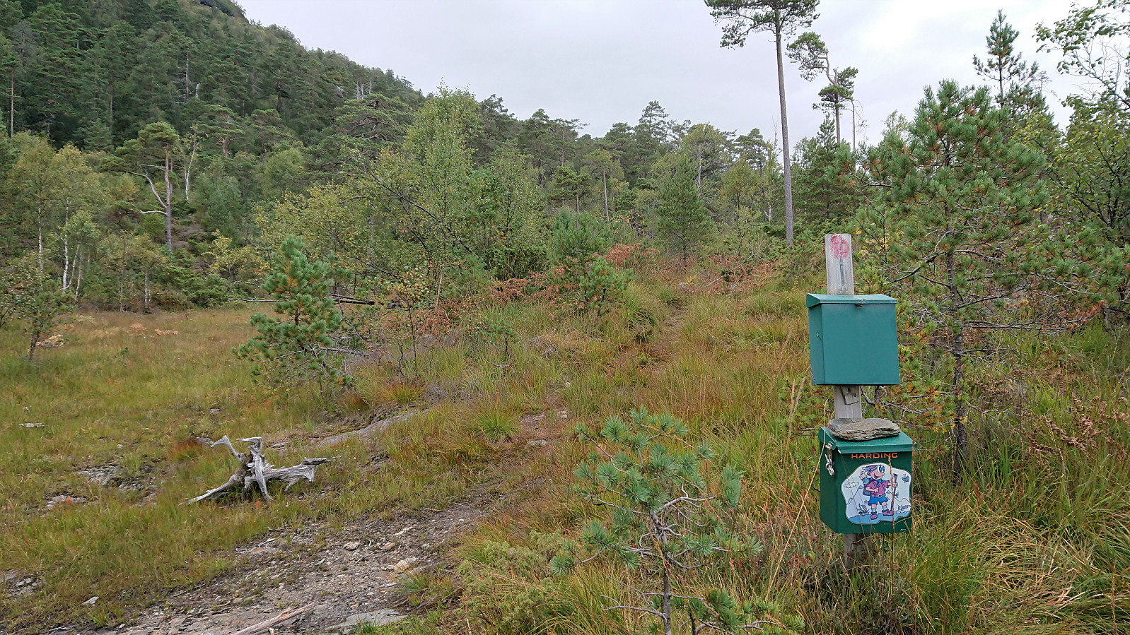
The start of the tractor road was unmarked, but besides not turning left at the crossroads early on, I basically just had to follow the road until it came to an end at a bench next to a visitor register (i.e. what is referred to as "Benken" at ut.no). Here there was probably a very nice view some time ago, but an increasing amount of it was now blocked by trees. It did however make it straightforward to locate the start of the marked trail as it began directly behind the bench.
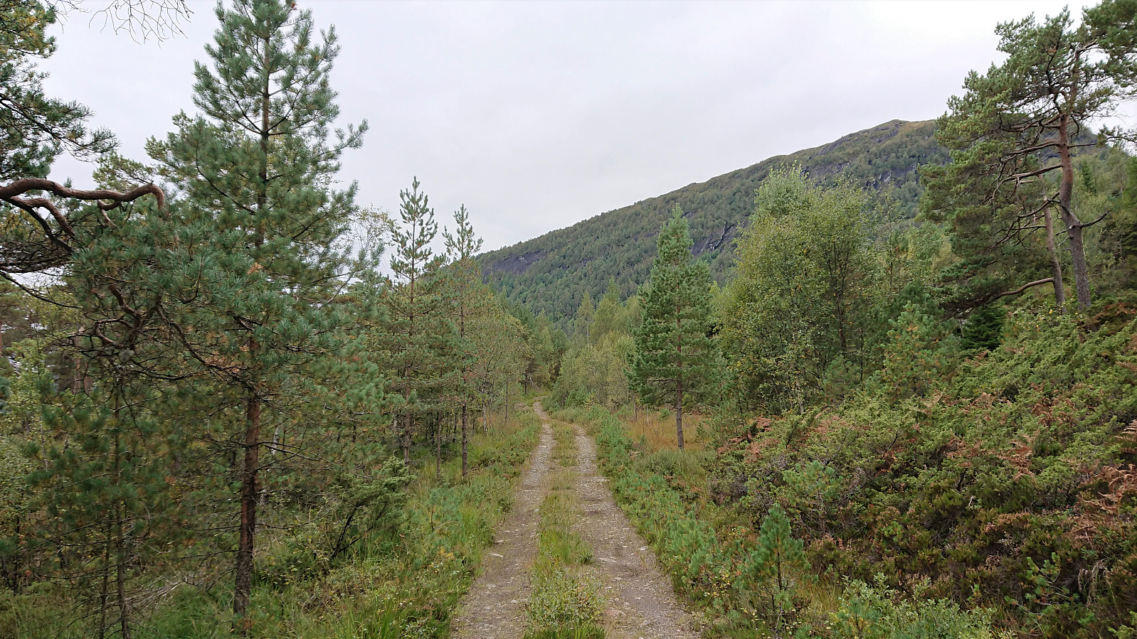
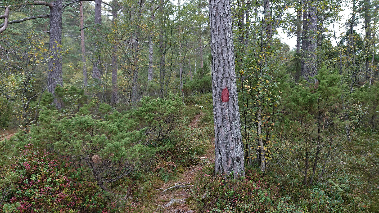
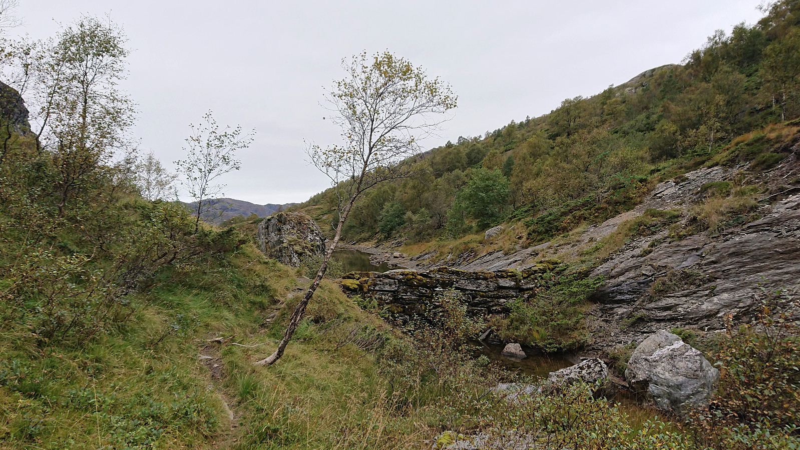
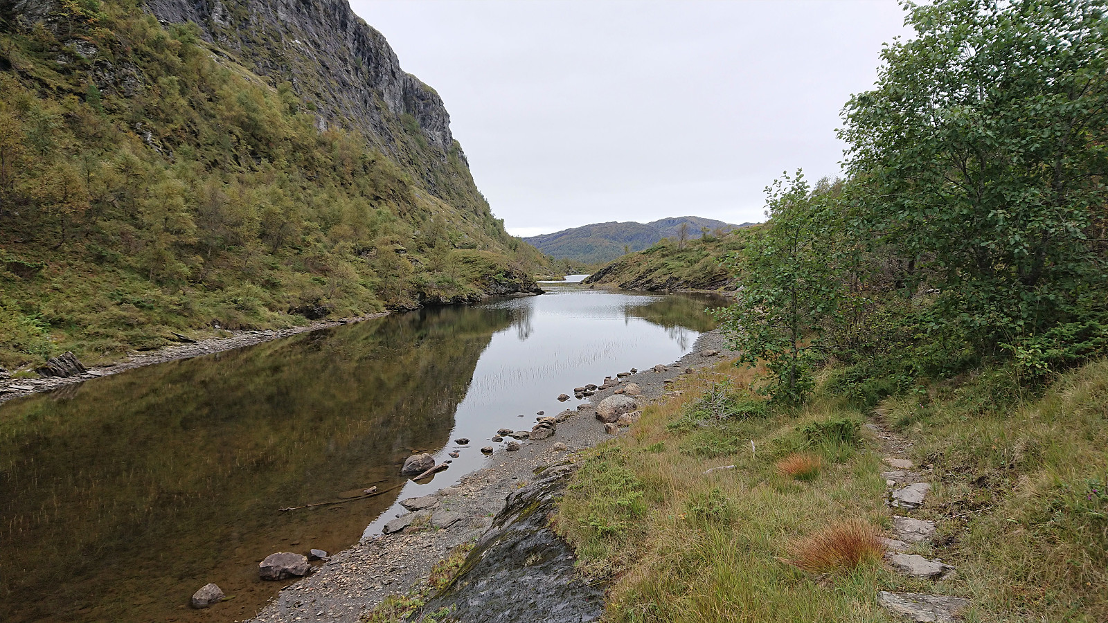
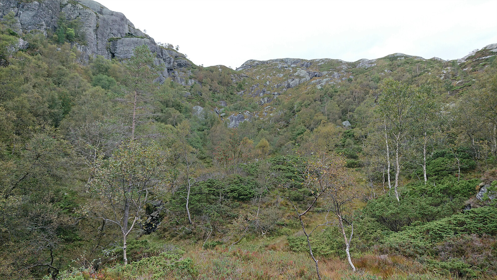
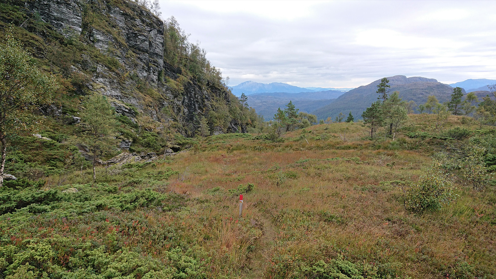
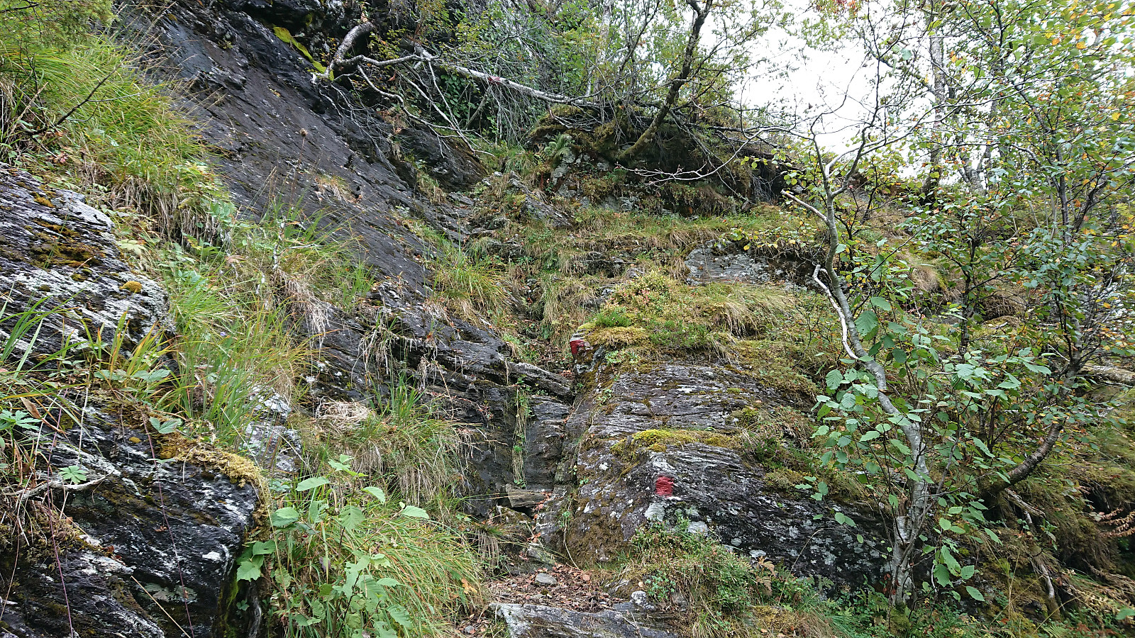
At the very beginning, the trail was a bit weak as it crossed a wet area, but this soon improved, and with the relatively recently painted red trail markers there was never any doubt as to where the trail was heading. Within not too long I arrived at the northeastern end of Vatnadalsvatnet, where there was another visitor register, presumably for those not wanting to go all the way to the summit of Nessteinen. The marked trail however continued, now on the north side of the lake.
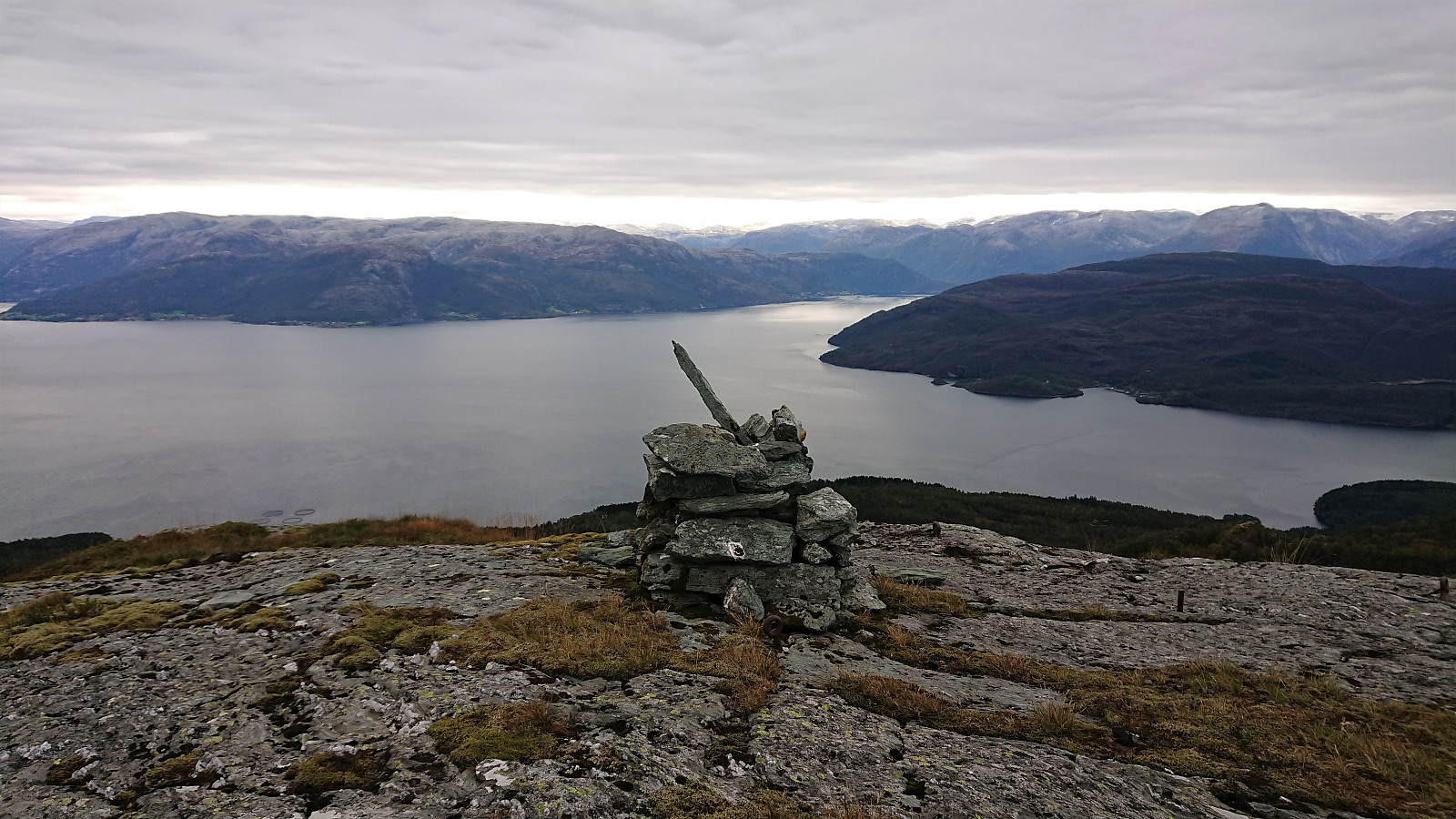
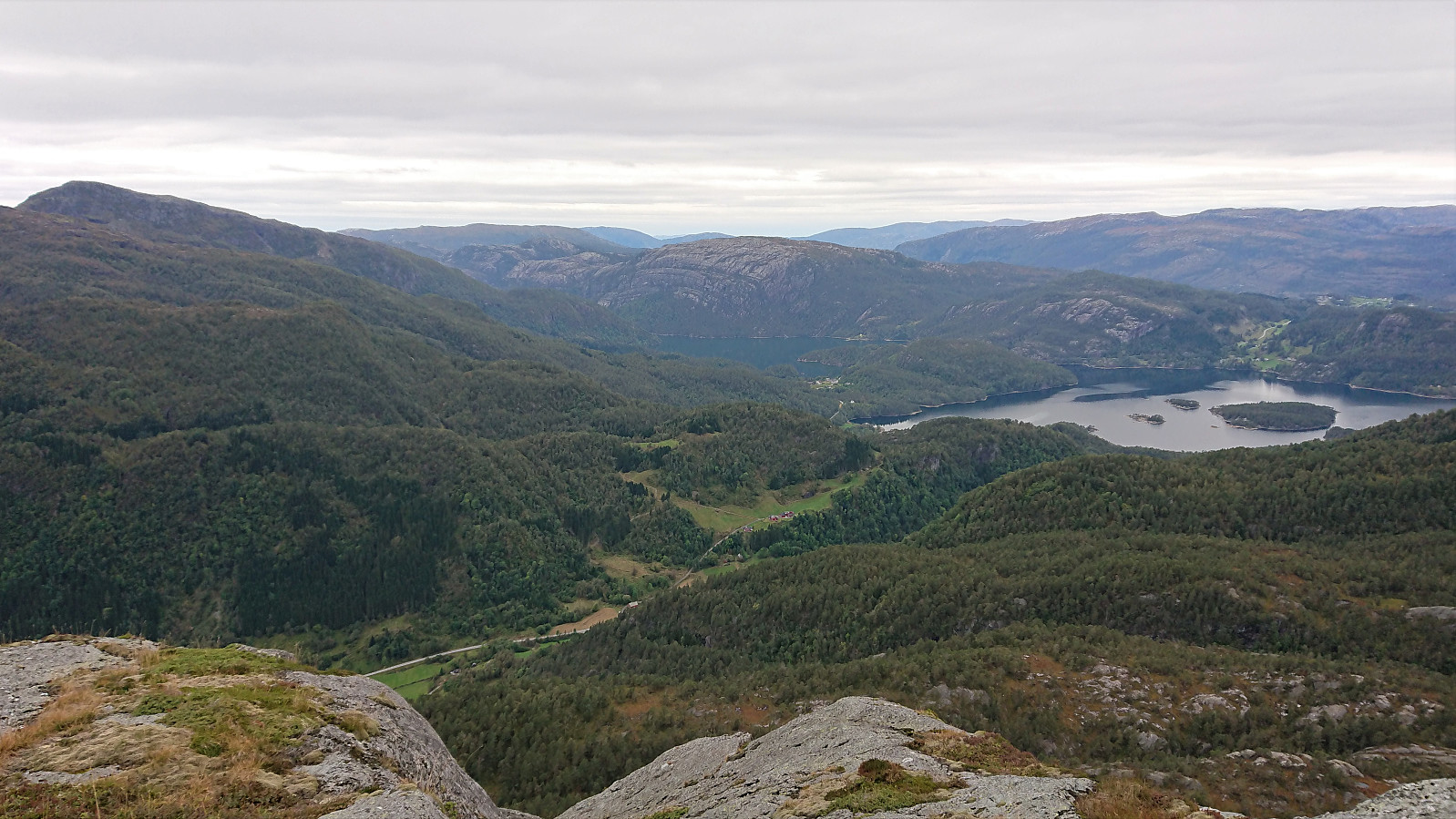
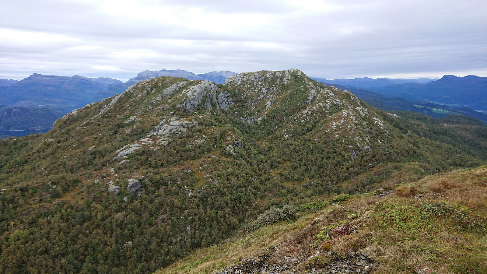
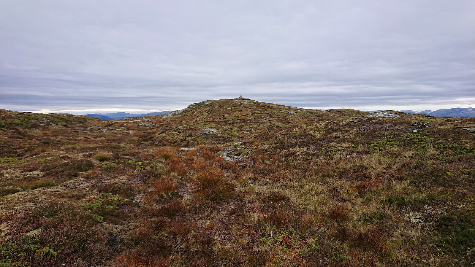
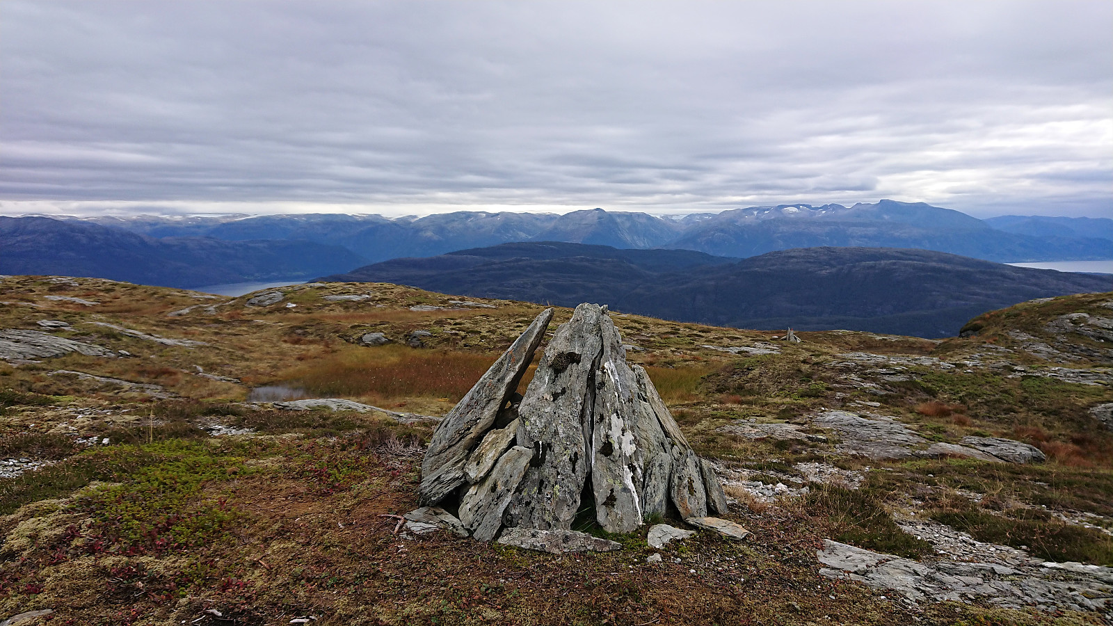
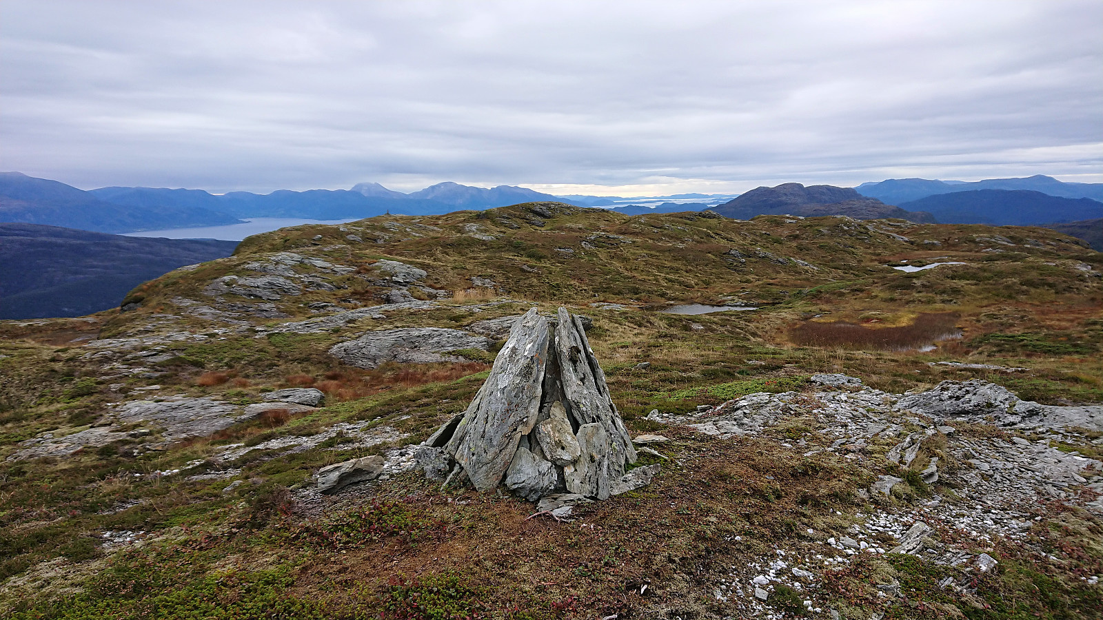
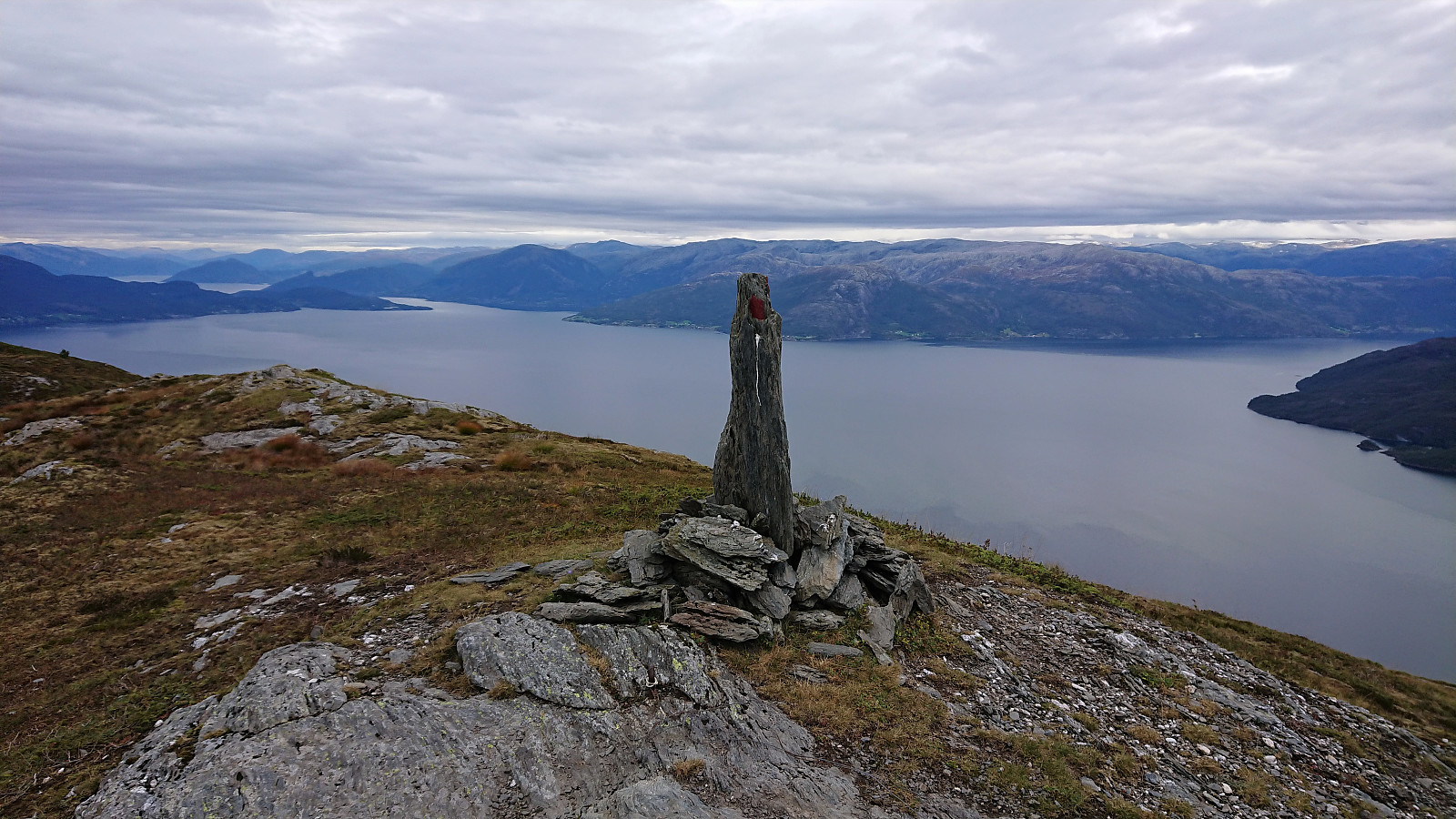
When getting to Skrangledalen, I left the marked trail behind and headed off-trail towards the summit of Vedasnerta. By partly following various animal tracks, I managed to find a route that avoided almost all potential fights with the vegetation. The only exception being when almost at the summit, where there was no option but to fight my way through to the low juniper bushes. But thankfully this was only for a short stretch and the bushes only came up to my knees. Overall, the summit of Vedasnerta was reached without any real difficulties and I could enjoy the excellent panoramic views. After a quick look at the steep drop into Mundheimsdalen from west of the summit, I descended along the same route and soon found myself back on the marked trail to Nessteinen.
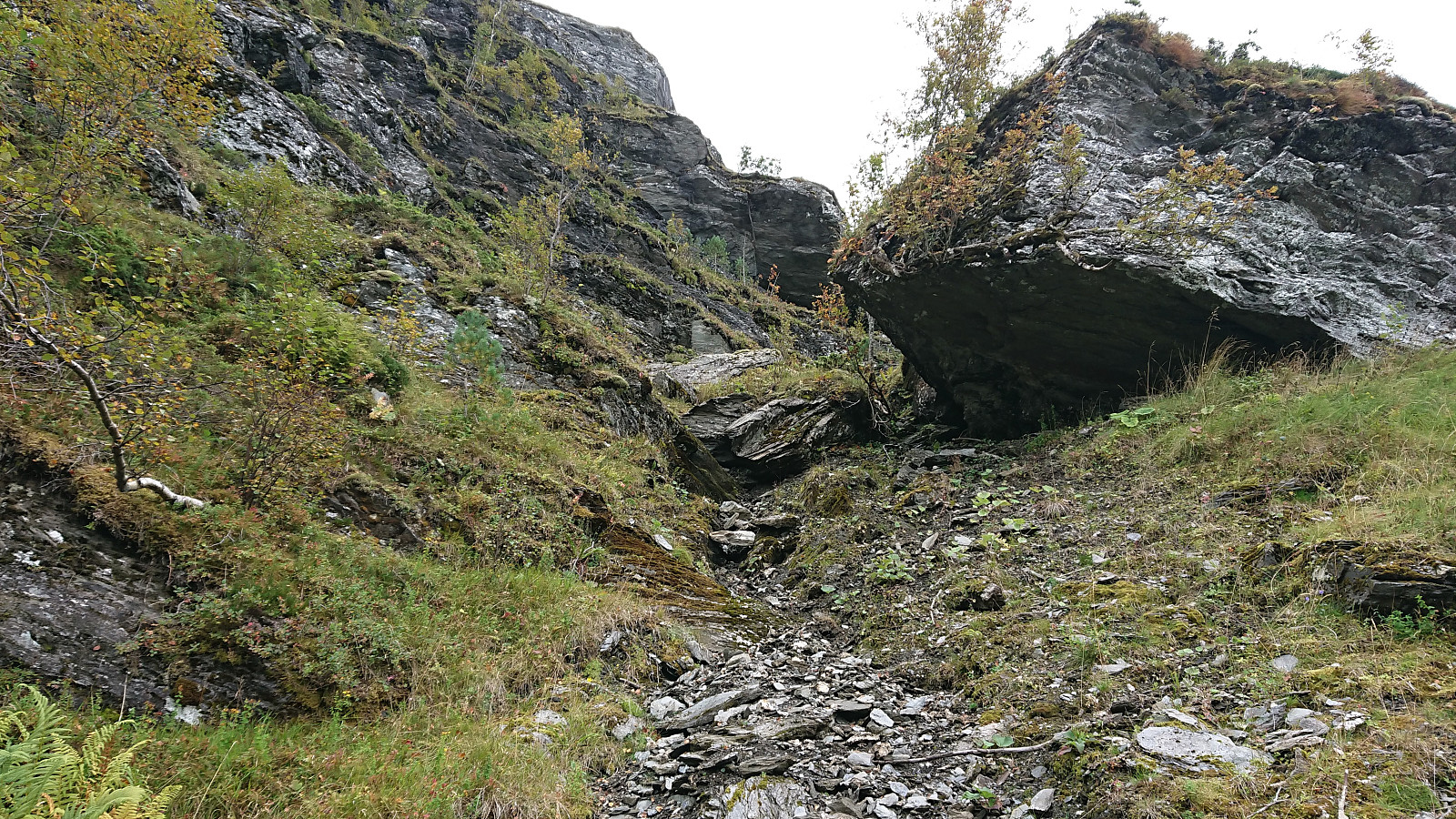
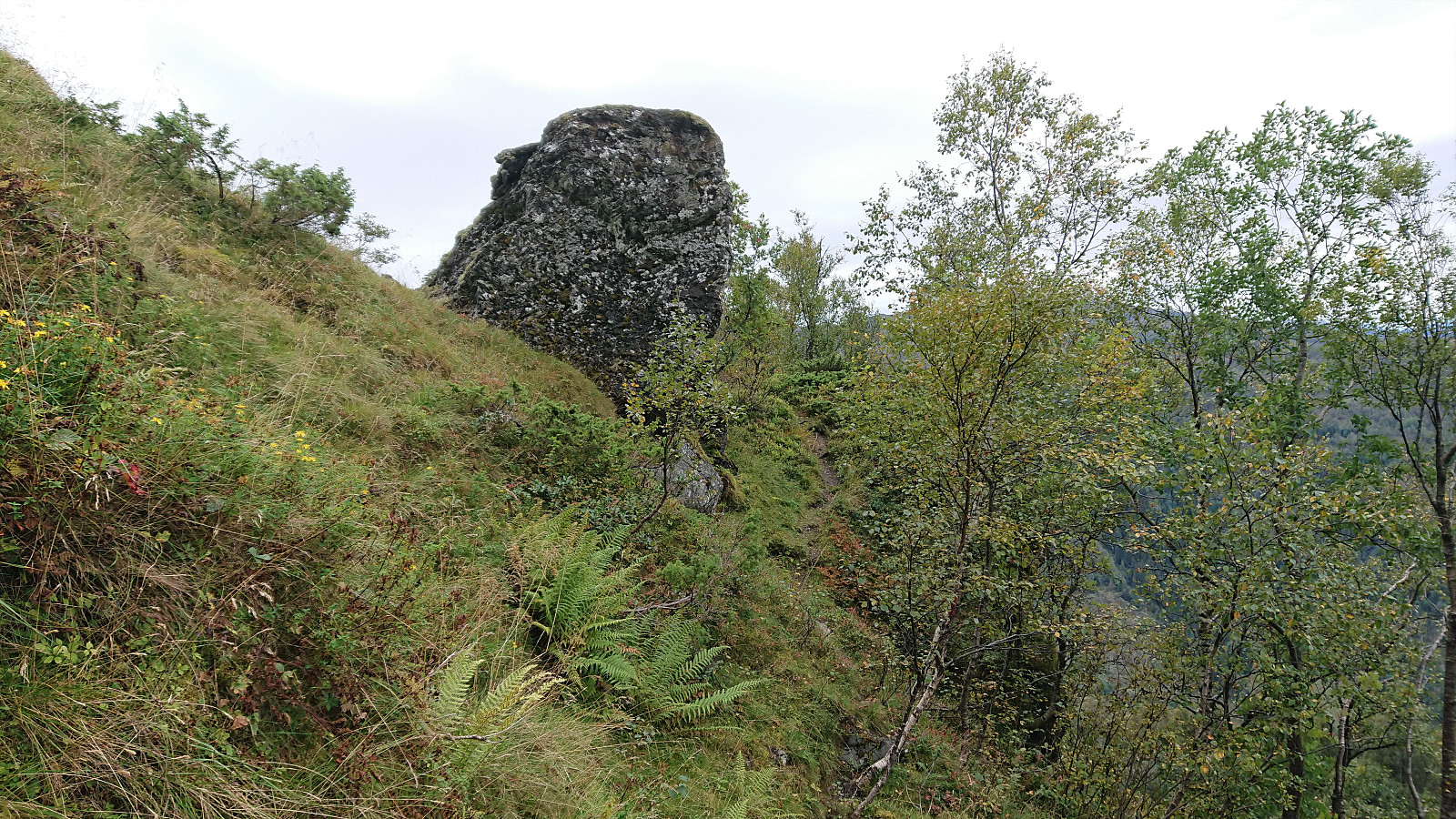
When leaving Vatnadalsvatnet behind, the trail started climbing again with one or two short sections where some light scrambling was required. At one point it even turned into climbing and I was unsure whether it even would be safe to continue. However, it turned out that this was all my own fault. I had simply been too eager to ascend and had departed from the trail for a bit of off-trail scrambling in an area of loose gravel and small rocks. In my defense the trail marker was here partly hidden behind a tree. (Avoiding my mistake should be quite easy though: either pay closer attention to the trail markers, and/or go straight ahead and below when getting to two large boulders to your left, instead of up and above the upper largest one like I did…)
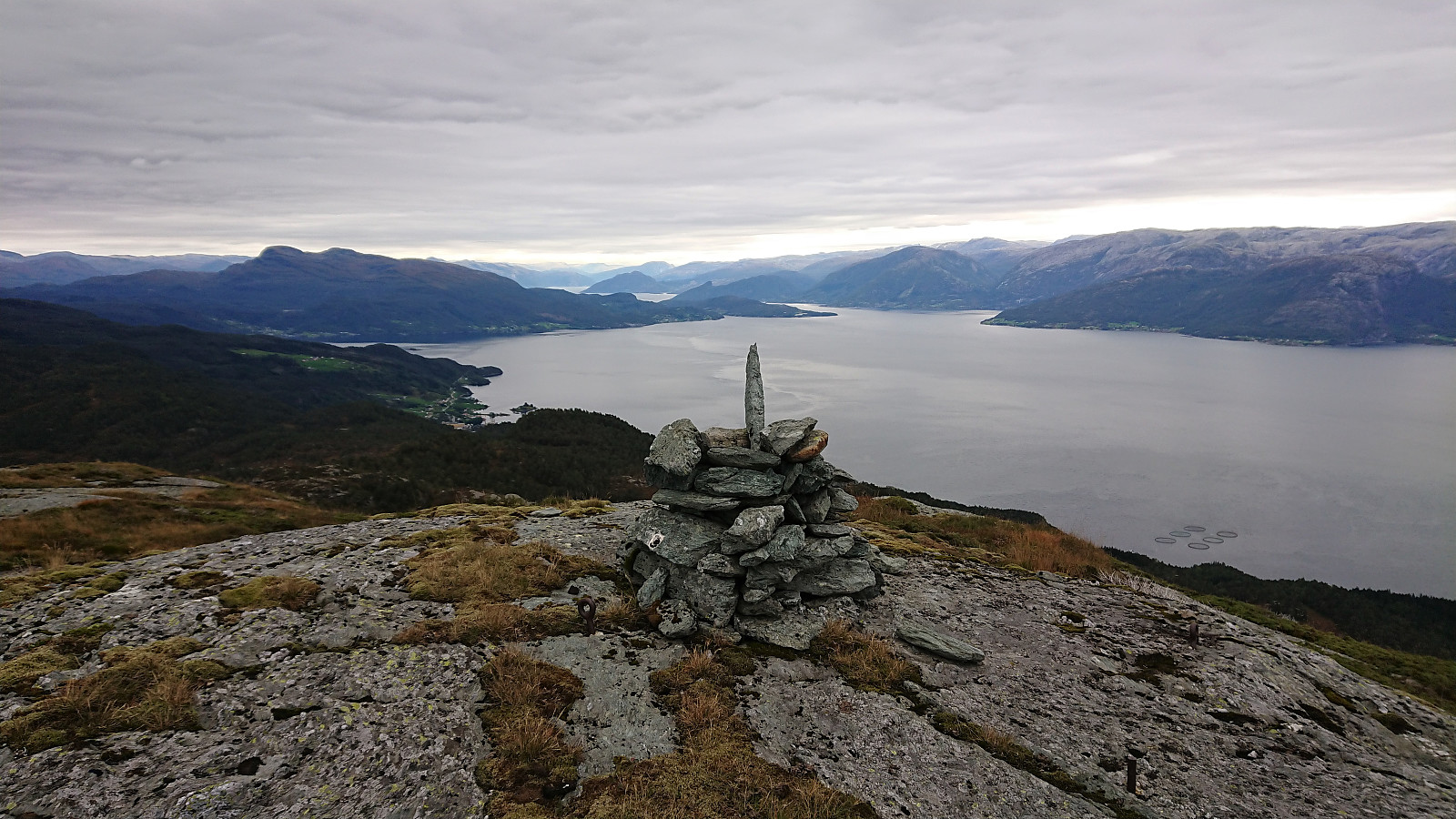
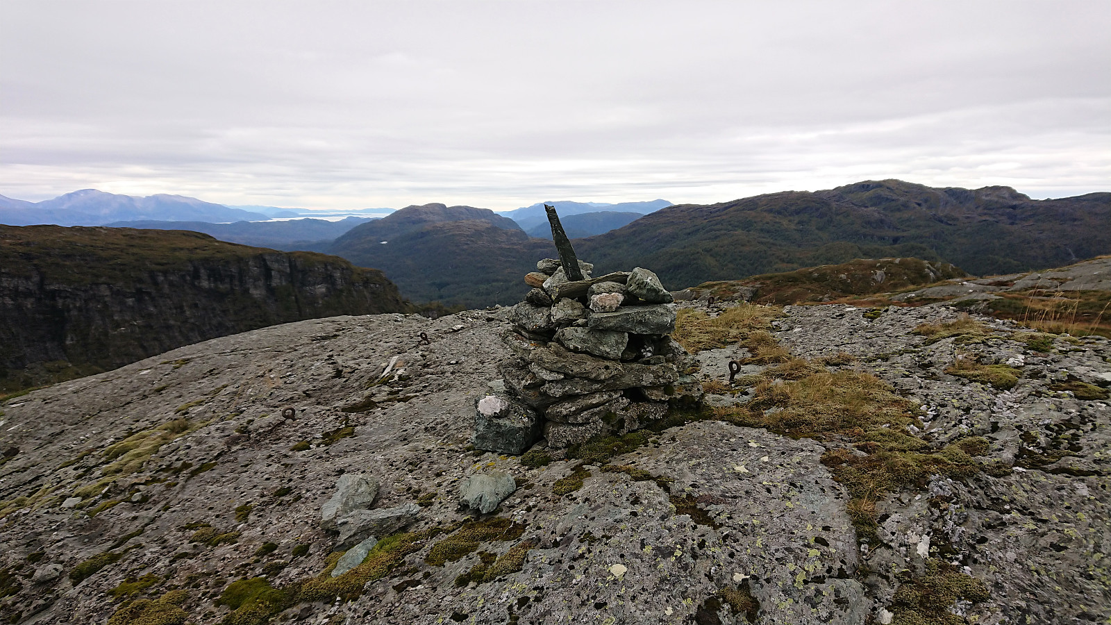
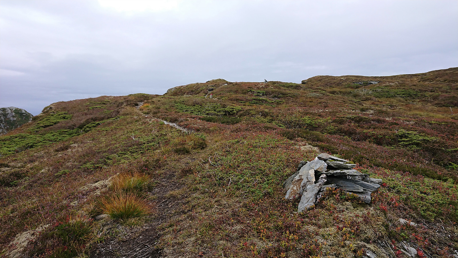
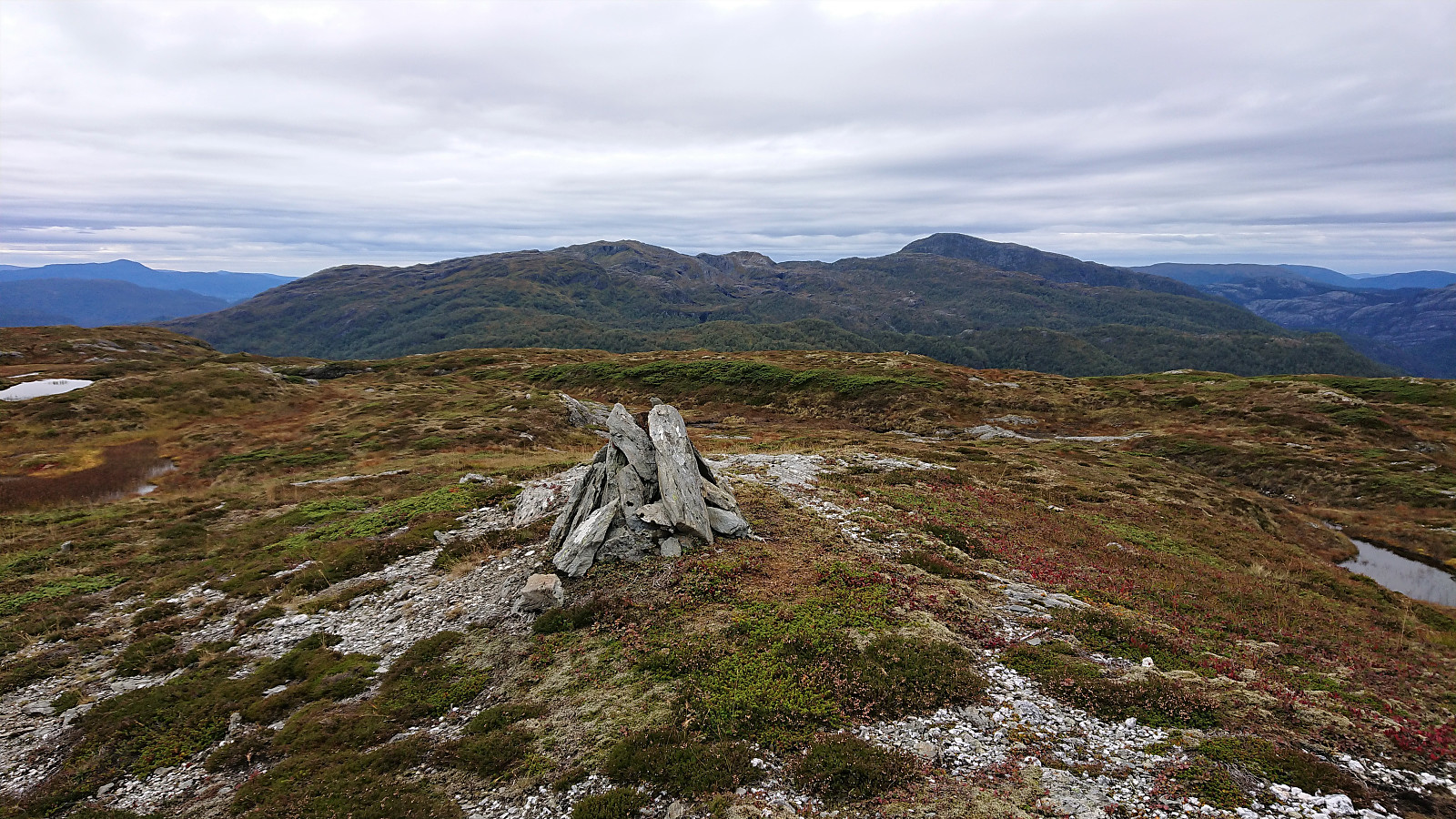
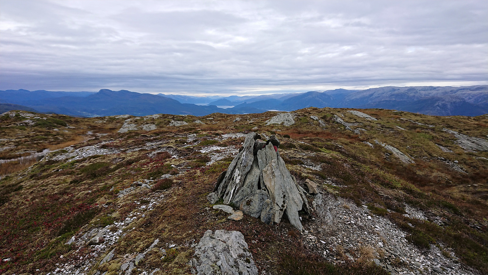
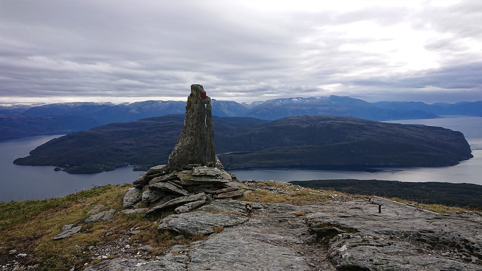
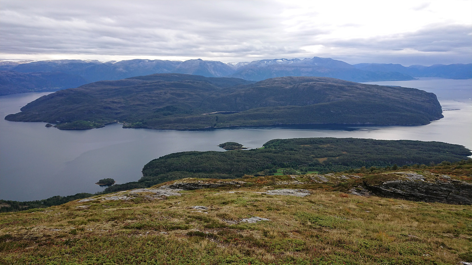
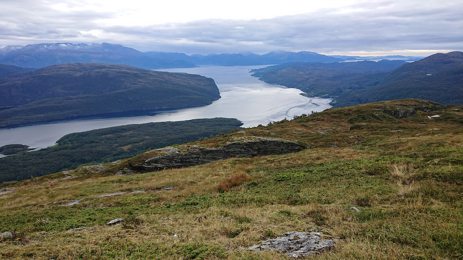
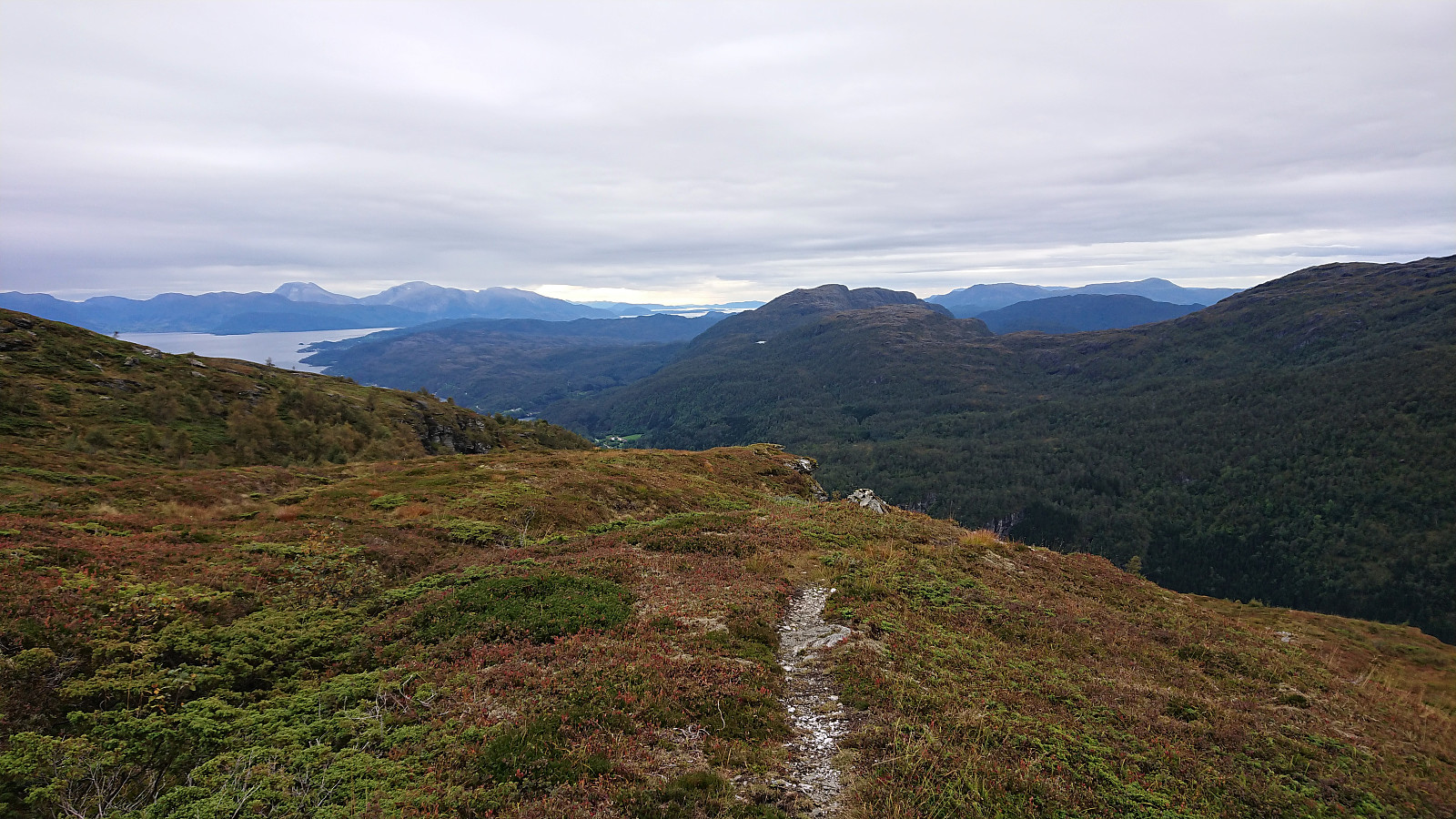
After safely returning to the marked trail, the trail shortly descended following a vertical cliff to the left, before reaching a short steep ascent where light scrambling again was required. From there on it was straightforward to make progress towards the summit and I was soon above the tree line and the views greatly improved. In the end, the summit of Nessteinen was reached without any real issues (if sticking to the marked trail that is) and it also provided excellent panoramic views. Even better views, at least towards the south, were obtained by continuing along the trail to the fallen trig marker to the south, which became a very nice location for my lunch break.
While the route description at ut.no did describe an alternative descent back to the bench and the tractor road (a short cut to the east), it did not provide a GPS track (as it had for the ascent). From previous PB-reports (see for example: this one), I also knew that it should be possible to descend more directly to the south and end up at Oppheim. However, I still had plenty of time before the return bus at Mundheim, and I was therefore not really in search of a shortcut, rather the opposite. The possibility of maybe getting stuck and having to backtrack was not very inviting either. Hence I decided to return along the same nice marked trail I had used for the ascent.
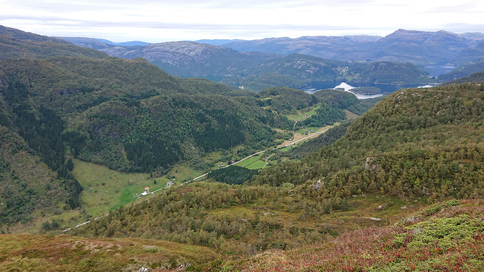
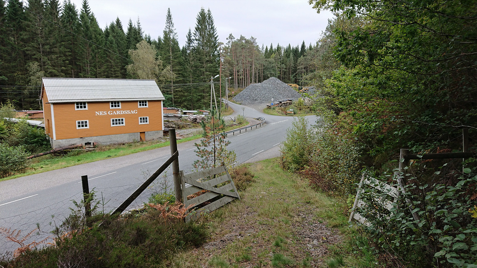
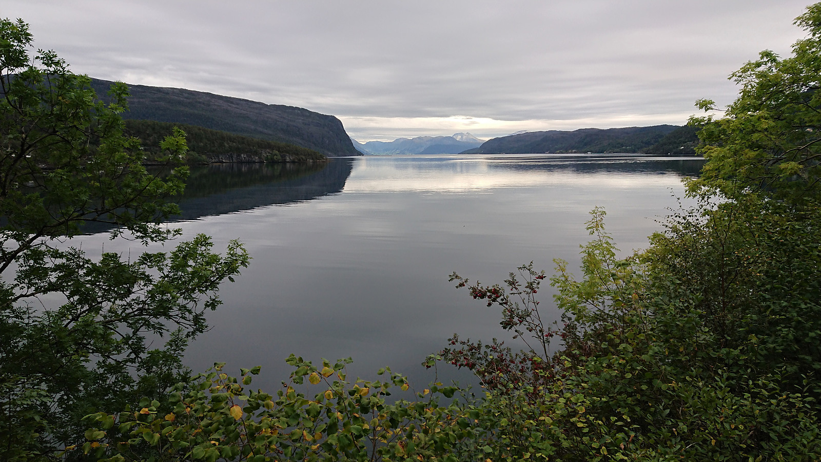
I did however make one "shortcut" when almost back at the main road. I turned west/southwest at the final crossroads. By following this alternative tractor road I made it to Nes and reduced the walk along the main road by about 600 meters. From there I continued along the road to Mundheim. No sidewalk on the way to Mundheim, but the traffic was thankfully limited. Upon getting to Mundheim, I realized that while I had tried to take it slow, I still had almost half an hour until the bus would arrive. Instead of waiting around, I therefore started walking up Mundheimsdalen, making it to the bus stop at Leirstein before hopping on the bus.
In summary, a visit of Nessteinen via the marked trail from Nes/Mundheimsvegen can be very highly recommended. A visit of Vedasnerta is probably more of an acquired taste with its final off-trail ascent, but it too can be done without any real issues.
Note that if skipping the walk along the road from the end of the tractor road to the bus stop at Leirstein you reduce the hike by about 4.5 km, and if stopping at Mundheim you reduce it by about 2.3 km. For the former, it should be possible to take the bus from Teigland to Mundheim as well, but again these buses are not officially connected, i.e. the trick of setting the transfer time to zero is again needed.
| Start date | 18.09.2021 11:05 (UTC+01:00 DST) |
| End date | 18.09.2021 17:22 (UTC+01:00 DST) |
| Total Time | 6h 17min |
| Moving Time | 5h 14min |
| Stopped Time | 1h 03min |
| Overall Average | 3.0km/h |
| Moving Average | 3.6km/h |
| Distance | 18.9km |
| Vertical meters | 1,115m |

User comments
Nice!
Written by HHauser 19.09.2021 19:55Nessteinen is underrated, I'd say -- really nice views from up there! Great that you included Vedasnerta (we skipped it, but were definitely thinking about it when up at Nessteinen!)!
Re: Nice!
Written by hbar 20.09.2021 14:53Yes, Nessteinen is definitely worth a visit! I was therefore surprised to see the low number of registered visits. Perhaps people think it is harder to ascend than what it really is given that it looks pretty steep from all angles. However, if using the marked route that I followed it can be ascended without any real challenges.
Too bad that you ended up skipping Vedasnerta on your hike, as it is where you get the best views of the steep northern cliffside of Nessteinen. See picture 14 above. :)
Re: Re: Nice!
Written by HHauser 20.09.2021 17:55I definitely looked at picture 14 and thought the same: When on Nessteinen, you just imagine how much it goes down on its northern side! :-) Still, our hike was also nice (and a little adventure)! :-)