
Bjedlastølen (03.08.2018)

Escrito por hbar (Harald Barsnes)

| punto de partida | Fjøra (15msnm) |
|---|---|
| Punto final | Barsnes (33msnm) |
| Tipo de excursión | Senderismo de montaña |
| Duración | 3h 19min |
| Distancia | 14.2km |
| Metros verticales | 778m |
| GPS |
|
| Otros PBEs visitados | Bjedlastølen (609msnm) | 03.08.2018 |
|---|
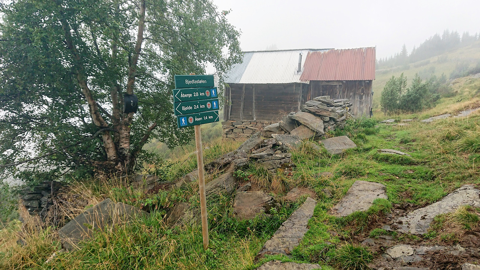
Bjedlastølen
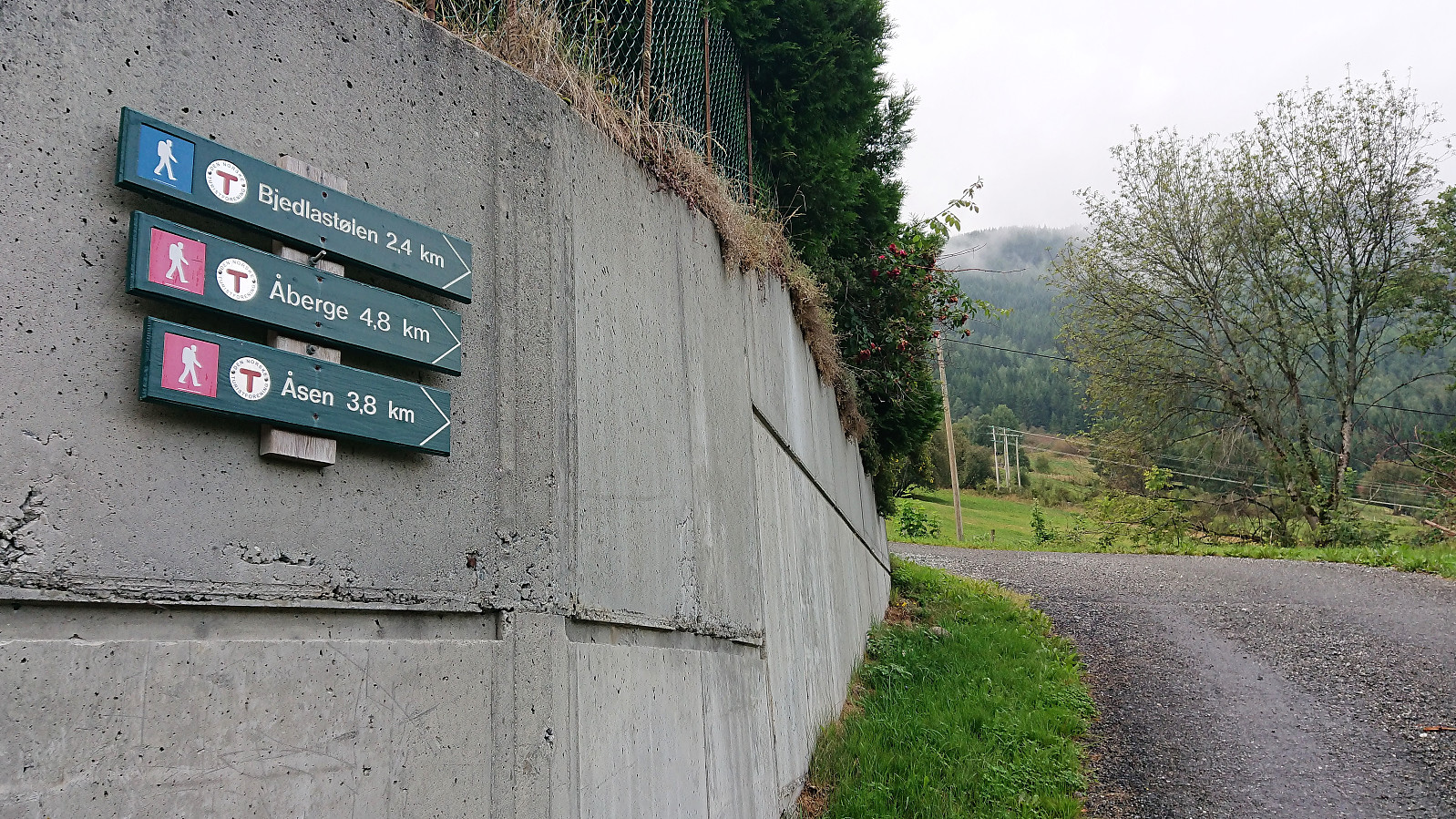
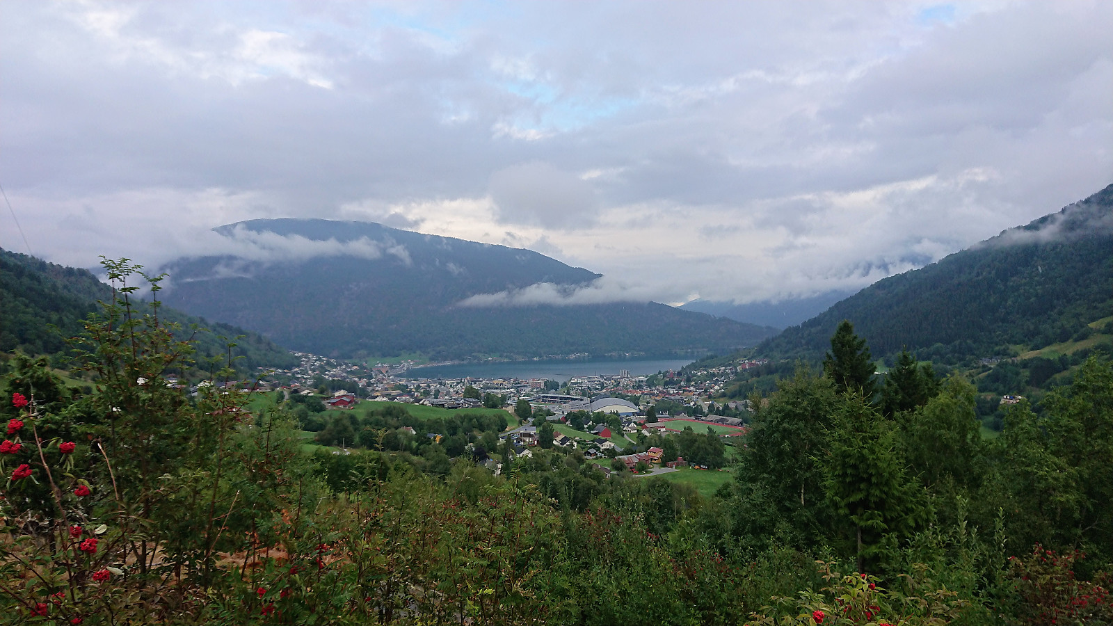
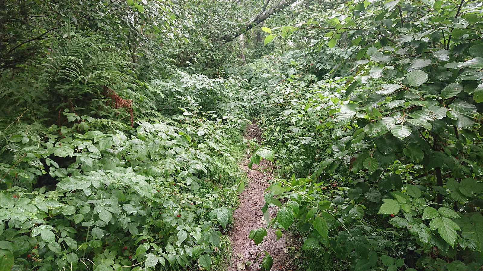
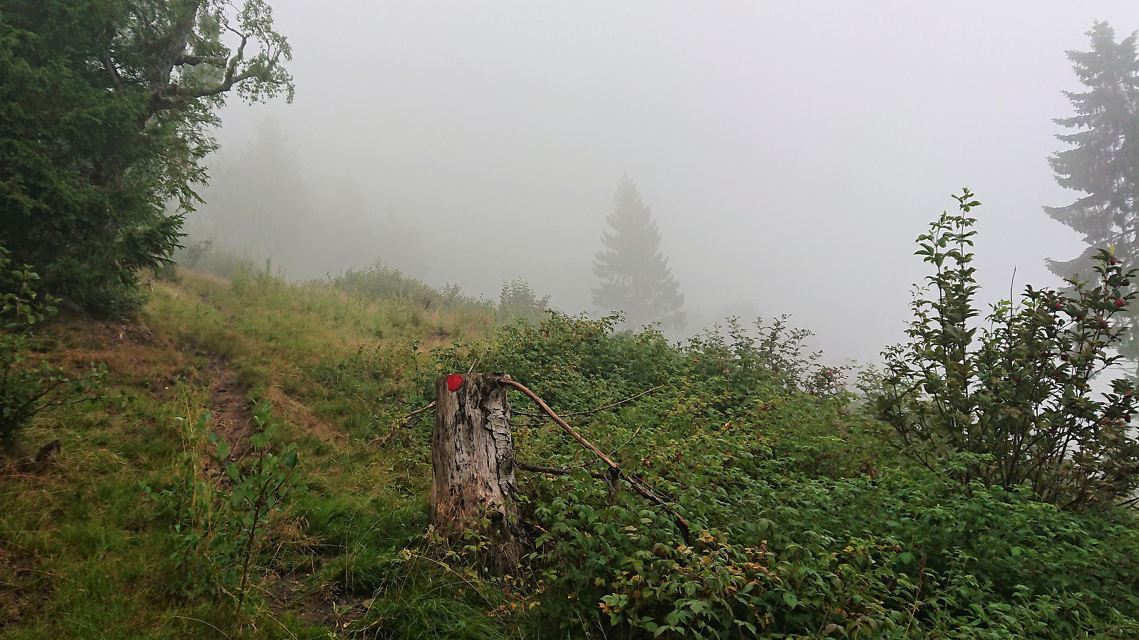
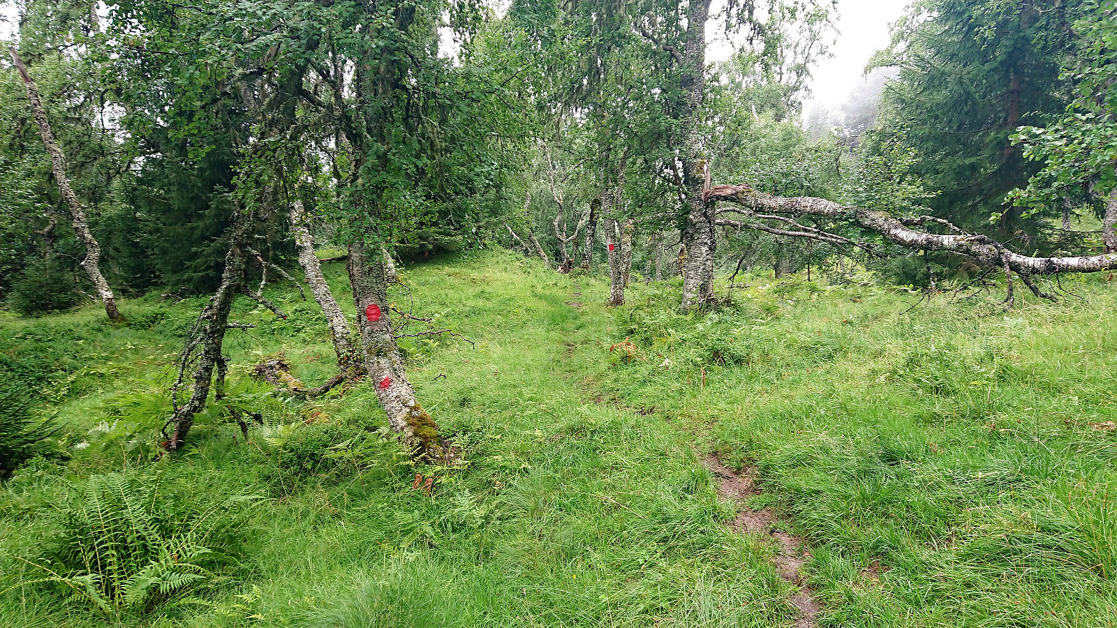
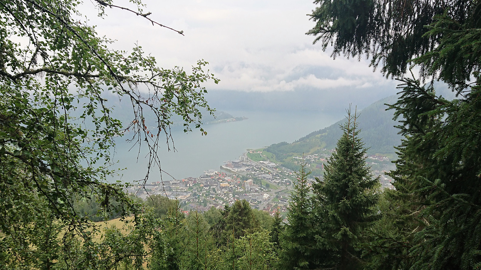
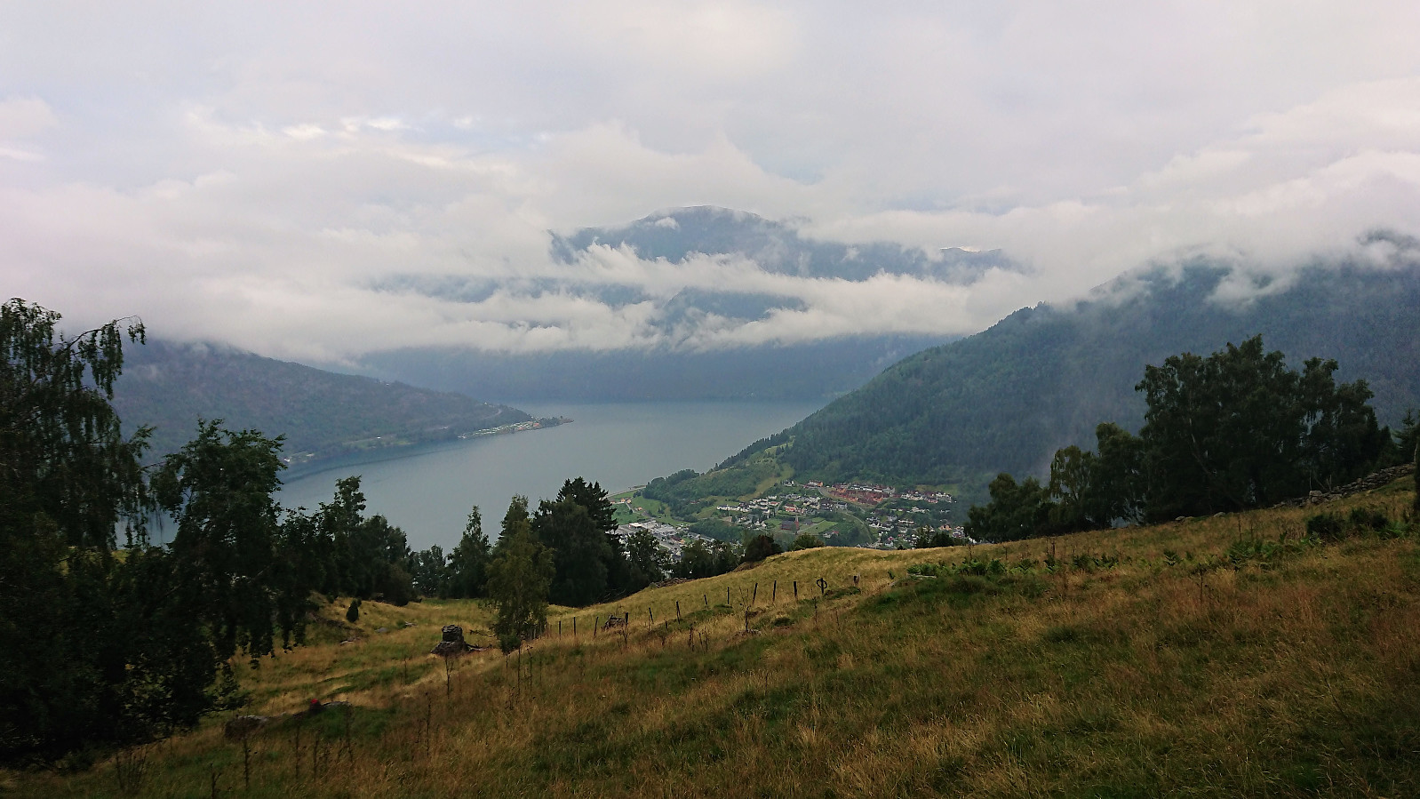
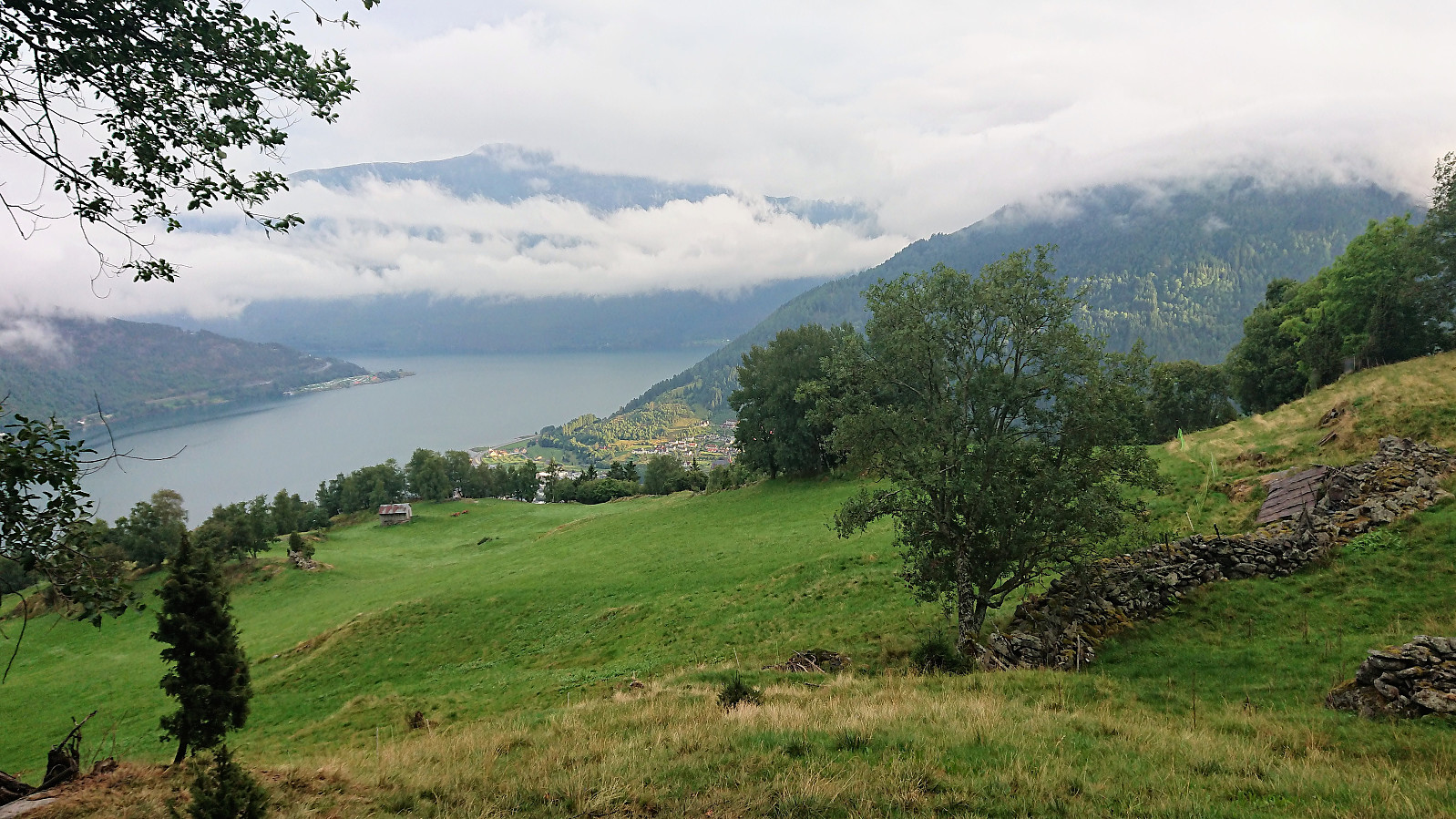
Rain and fog meant that heading for a new summit would be a bit of a waste this evening. I therefore decided on a visit to Bjedlastølen instead. I started from Fjøra and from there walked along the roads to Bjella, where I easily located the marked trailhead. I then passed by multiple gates on the way up to Bjedlastølen. First on a tractor road and later on a rather wet trail.
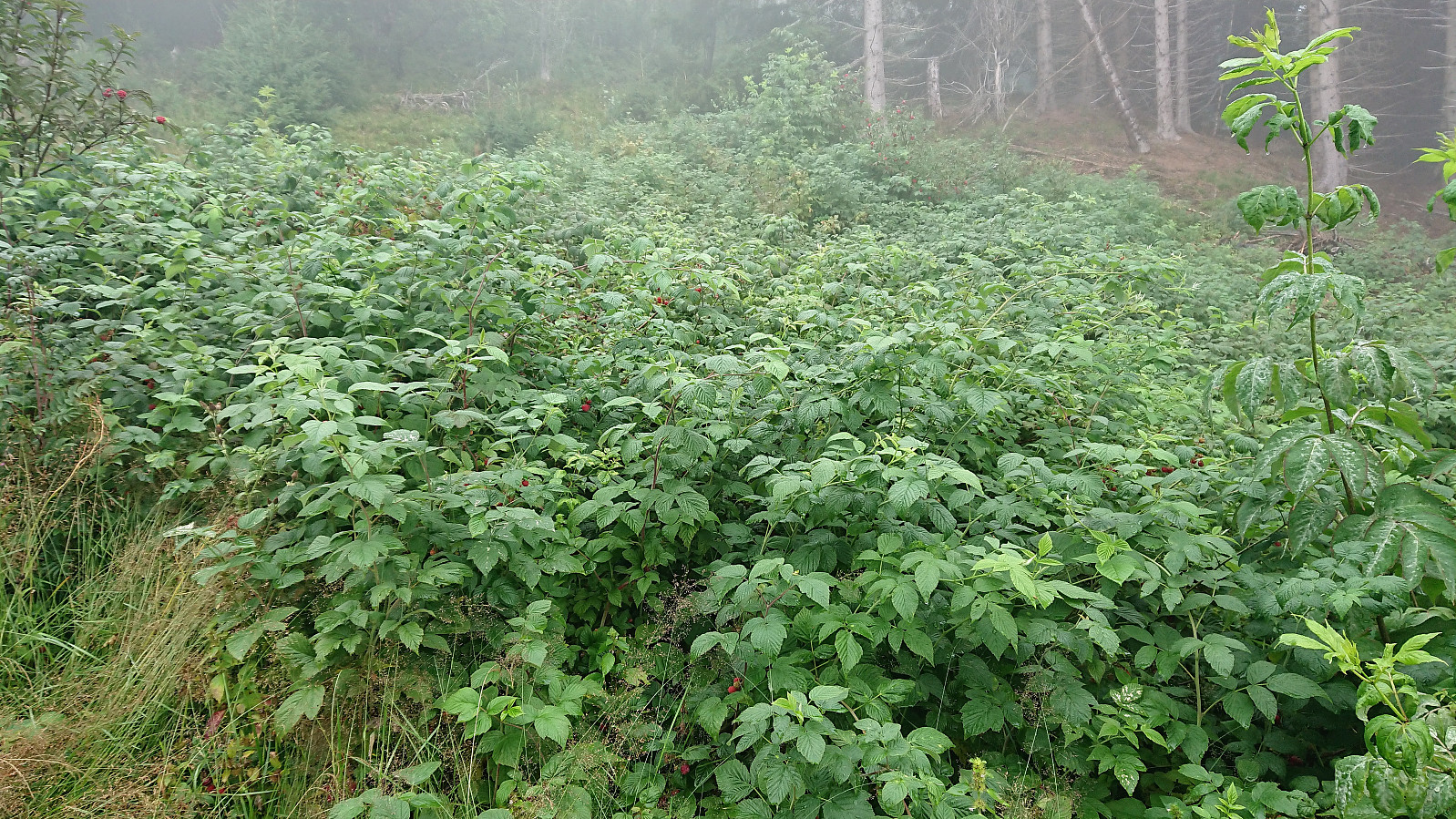
The positive surprise was the endless amounts of wild raspberries! Just before reaching Bjedlastølen I was also surprised by several cows appearing in the fog. None of them seemed to pay me any attention though. From Bjedlastølen I could also spot 2-3 horses in the distance and on the decent I came across numerus sheep.
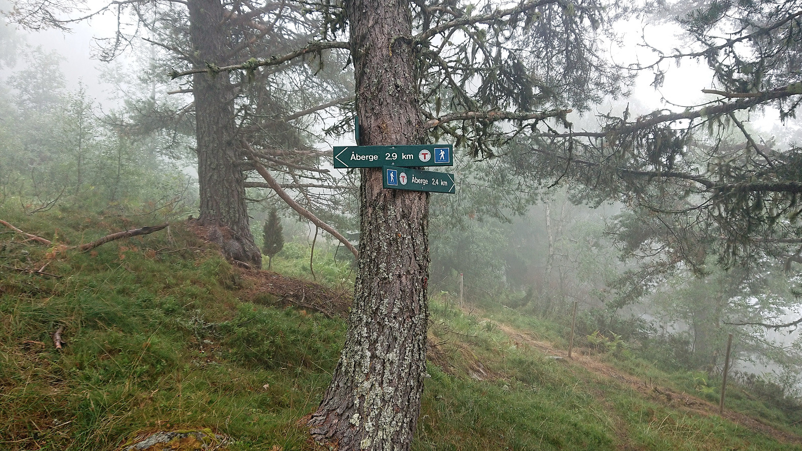
Shortly after leaving Bjedlastølen a new sign appeared. Or rather two signs: Åberge 2.4 and 2.9 km. I chose the longer route as it seemed to head more in the direction of the trail indicated on the map. And while the trail did not exactly follow the same path (at least not until the end), I soon found myself at Åberge, from where I walked along the roads down to the bridge and onwards to Barsnes.

| Hora de partida | 03.08.2018 17:59 (UTC+01:00 DST) |
| Hora punto final | 03.08.2018 21:19 (UTC+01:00 DST) |
| Tiempo total | 3h 19min |
| Tiempo en movimiento | 3h 15min |
| Tiempo de descanso | 0h 4min |
| Velocidad promedio en total | 4.3km/h |
| Tiempo en movimiento promedio | 4.4km/h |
| Distancia | 14.2km |
| Metros verticales | 778m |


Comentarios