Kløvsnipa (08.02.2026)

| punto de partida | Ervikveien (33msnm) |
|---|---|
| Punto final | Ervikveien (16msnm) |
| Tipo de excursión | Senderismo de montaña |
| Duración | 1h 44min |
| Distancia | 6.5km |
| Metros verticales | 304m |
| GPS |
|
| Otros PBEs visitados | Kløvsnipa (262msnm) | 08.02.2026 |
|---|---|---|
| Vinddalsveien p-lomme (160msnm) | 08.02.2026 |
Kløvsnipa
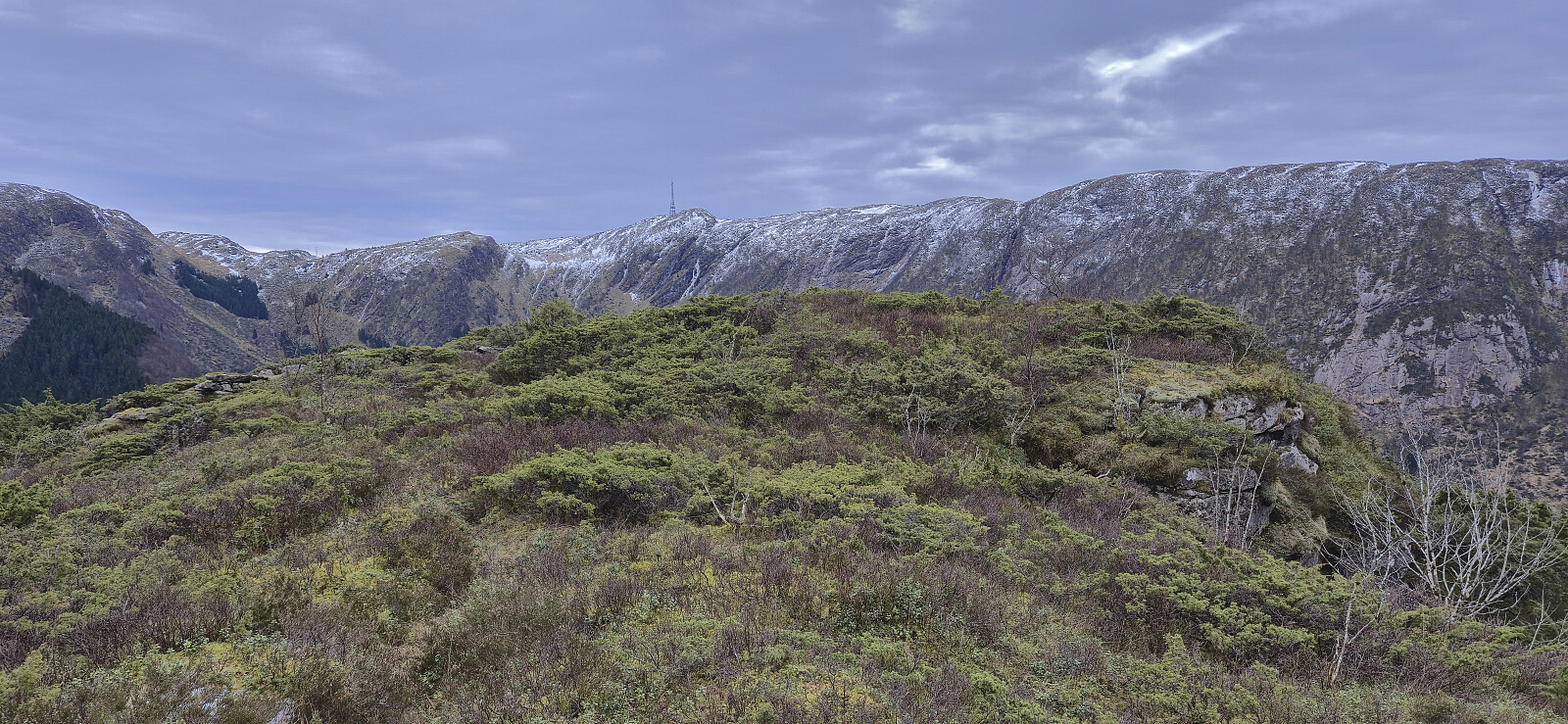
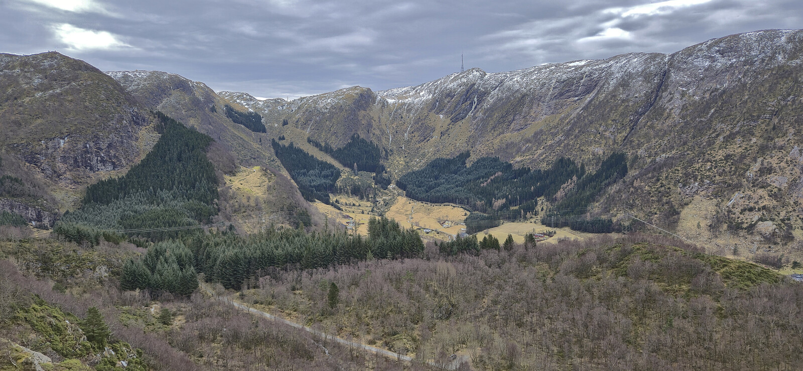
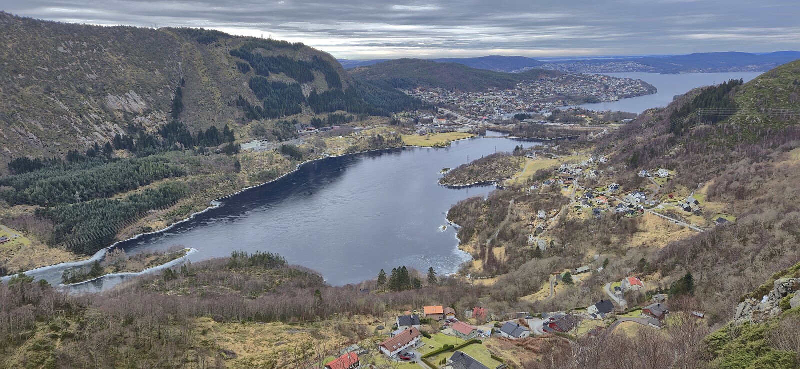
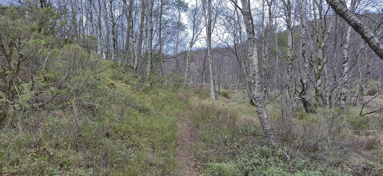
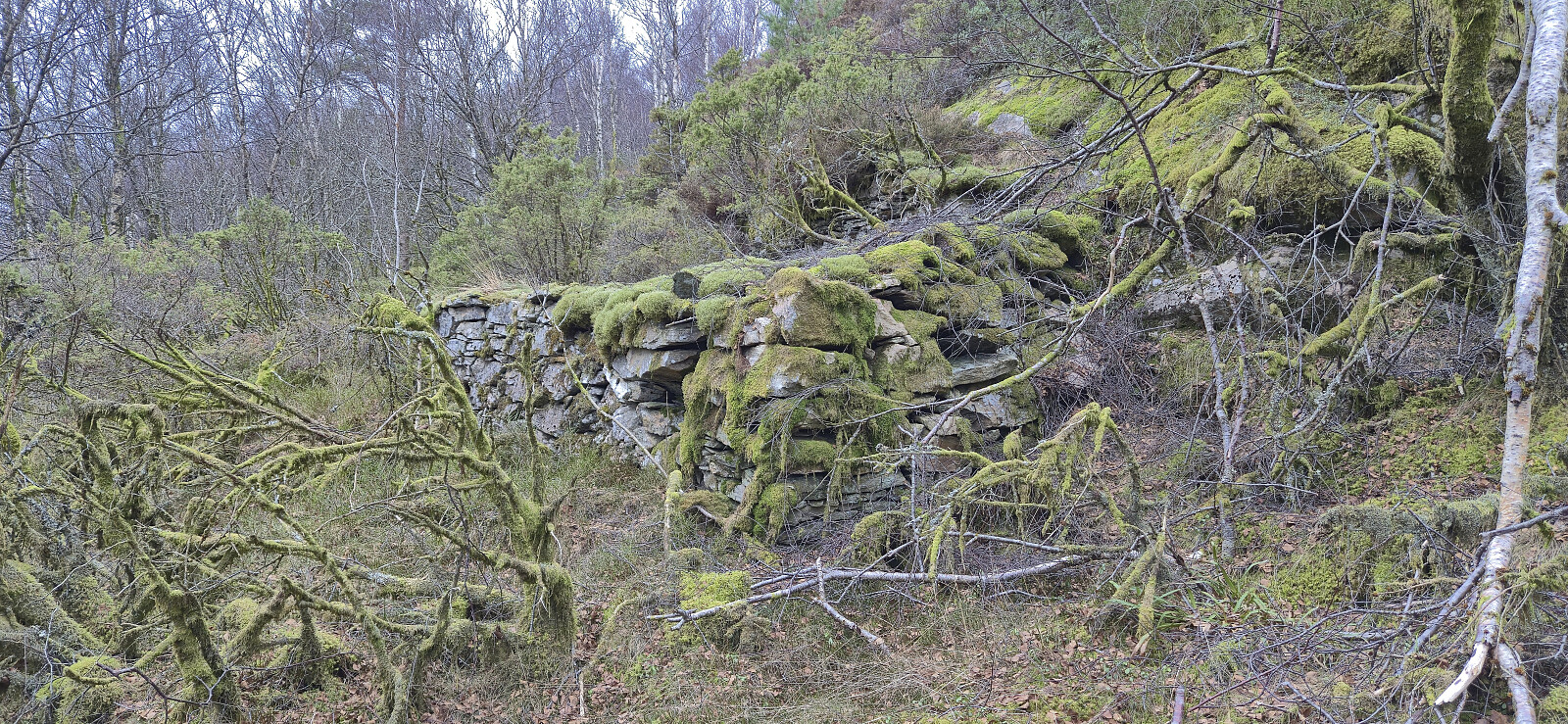
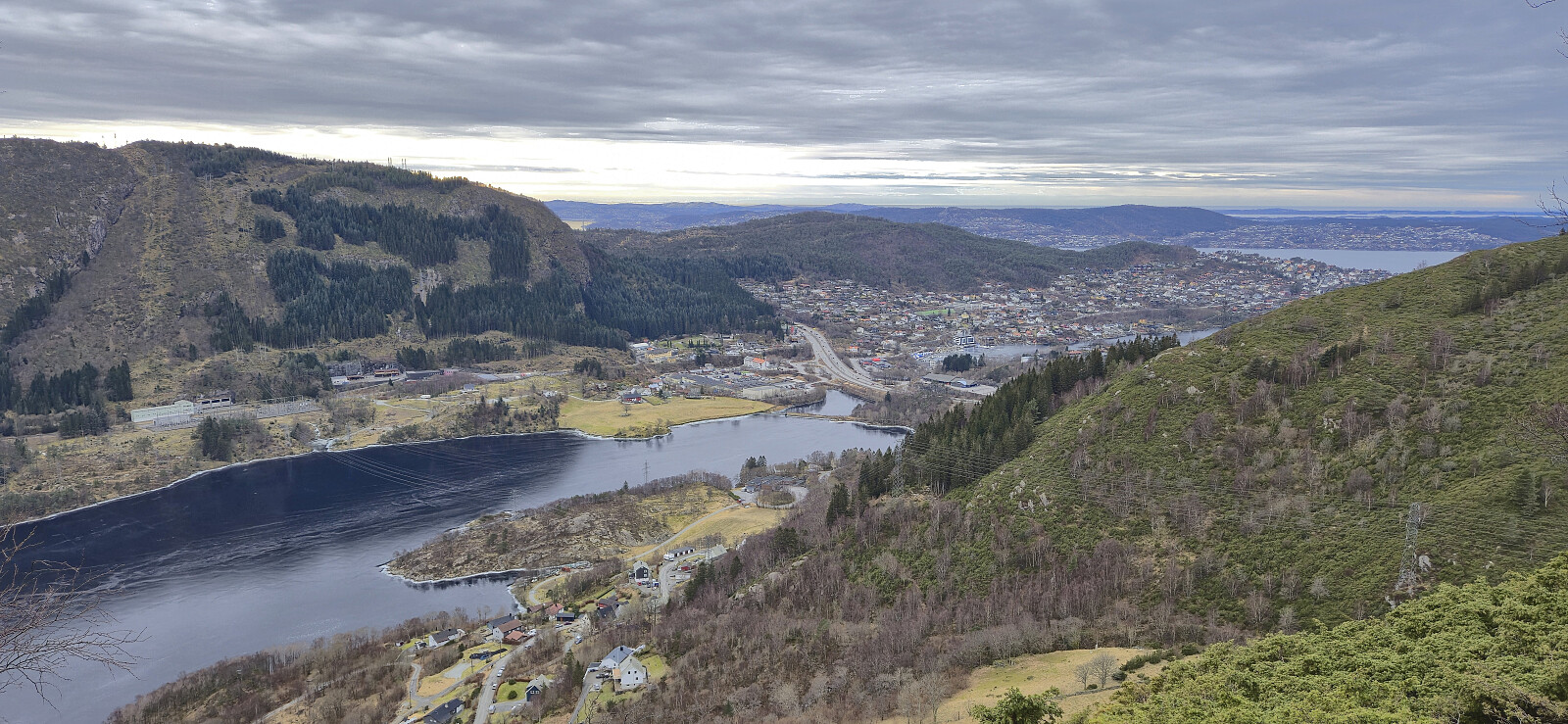
Sunday hike along a trail I discovered during last weekend's hike from Flaktveit to Selvik. Overall a positive experience with great views along the way.
| Hora de partida | 08.02.2026 13:37 (UTC+01:00) |
| Hora punto final | 08.02.2026 15:21 (UTC+01:00) |
| Tiempo total | 1h 44min |
| Tiempo en movimiento | 1h 39min |
| Tiempo de descanso | 0h 4min |
| Velocidad promedio en total | 3.7km/h |
| Tiempo en movimiento promedio | 3.9km/h |
| Distancia | 6.5km |
| Metros verticales | 304m |

Comentarios